|
 By Trail Contributor: Zach Robbins (Contact Zach) By Trail Contributor: Zach Robbins (Contact Zach)
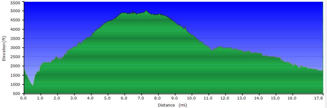
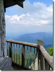
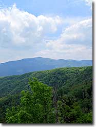
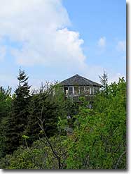
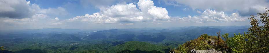
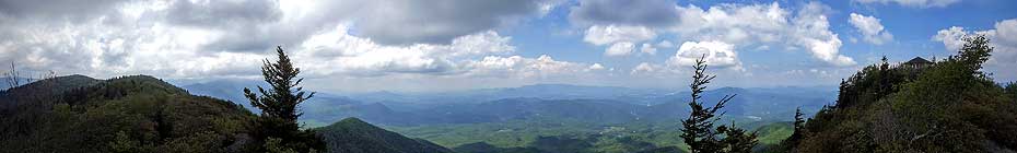
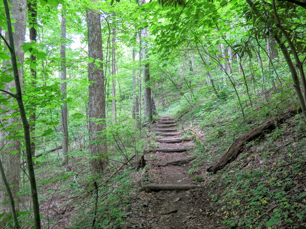
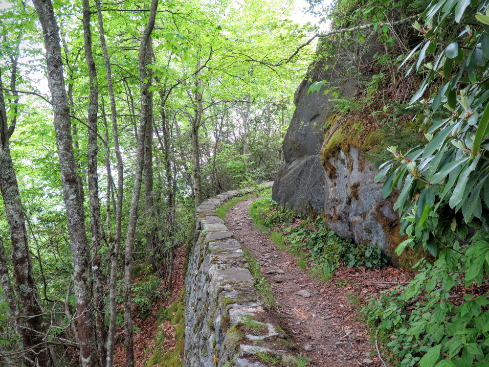
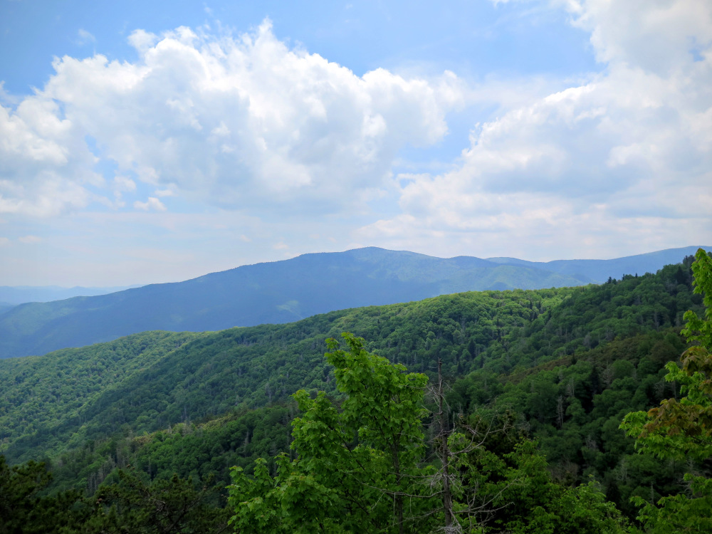
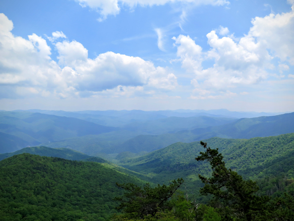
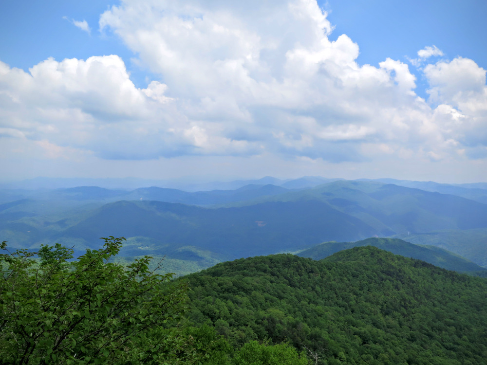
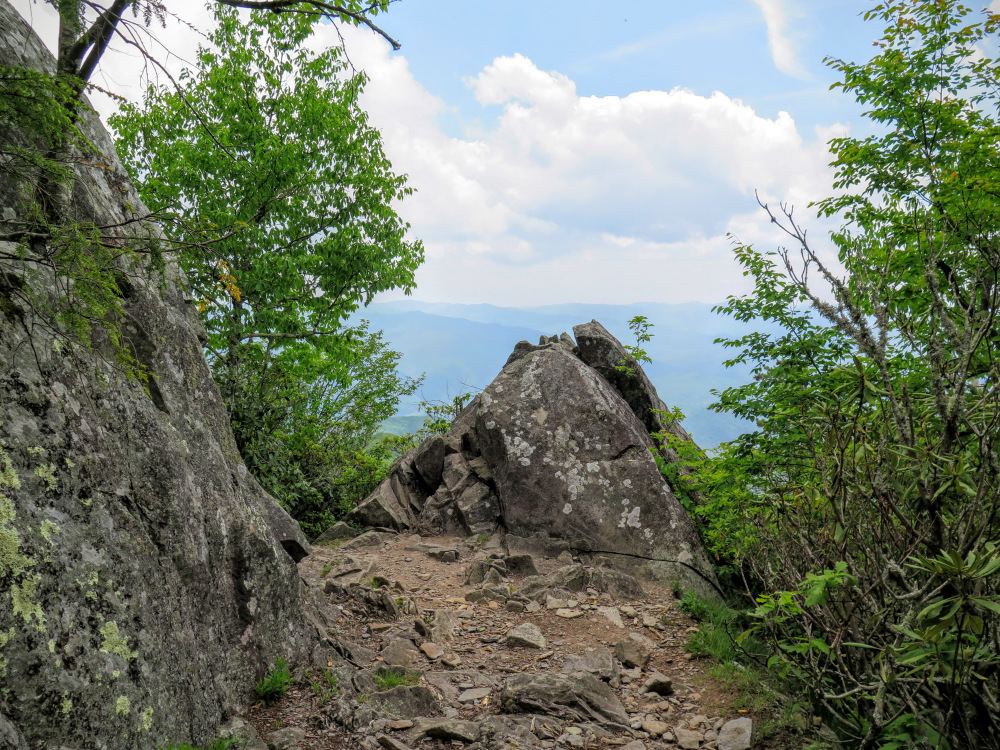
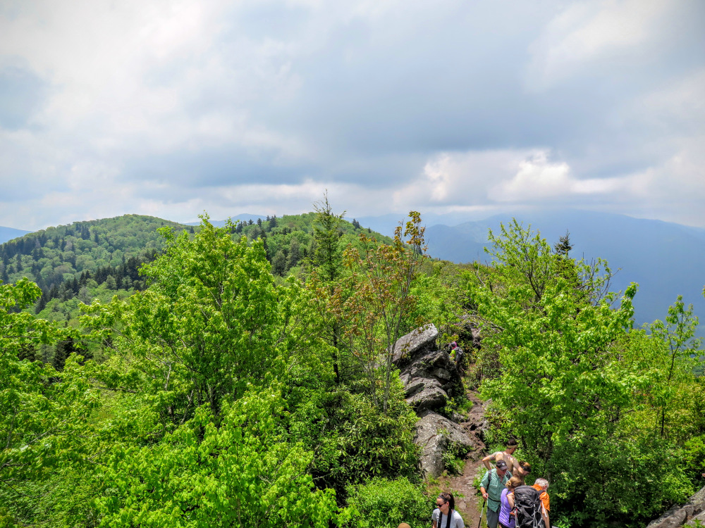
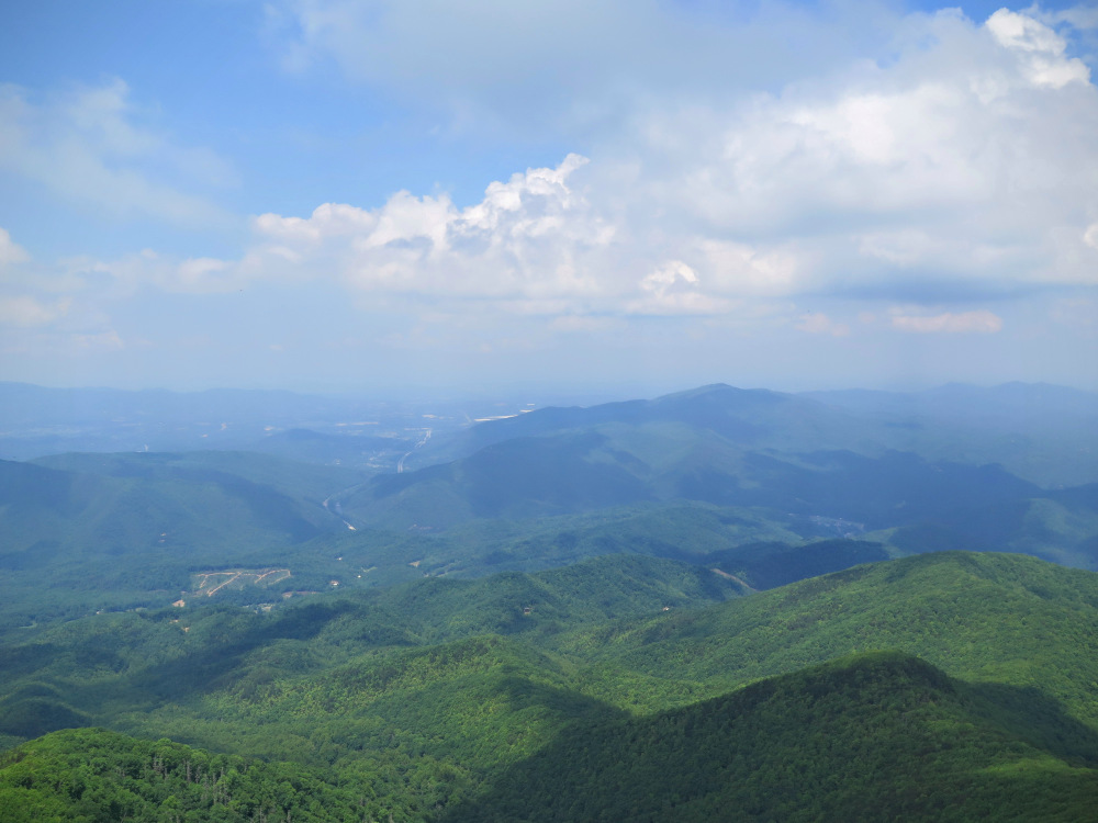
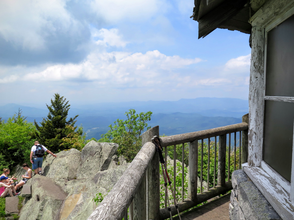
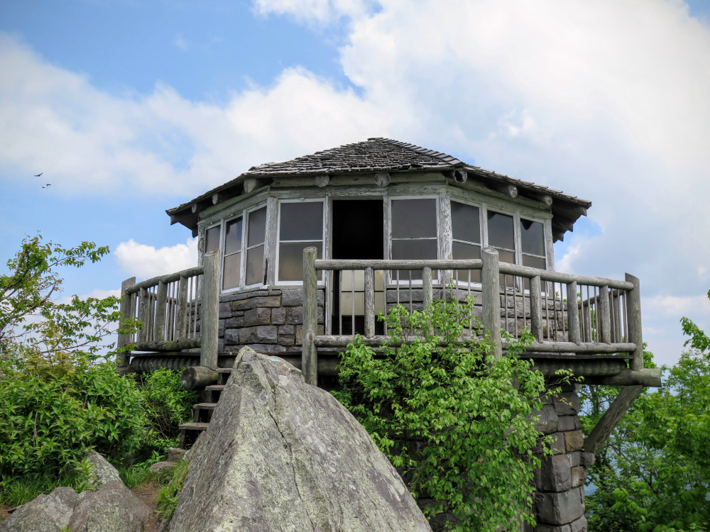
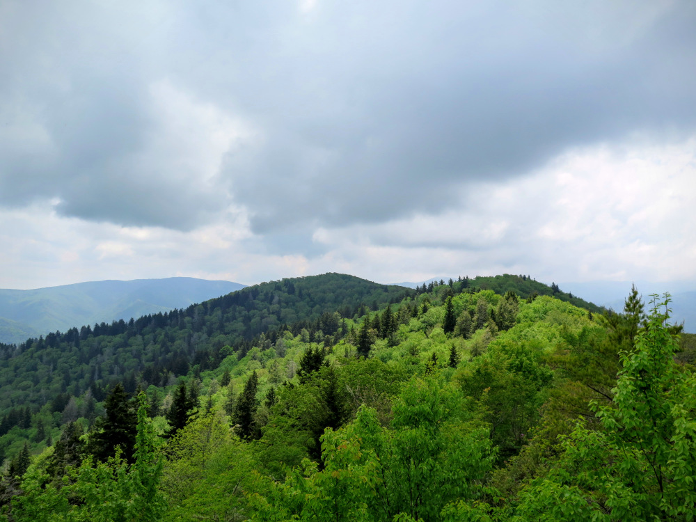
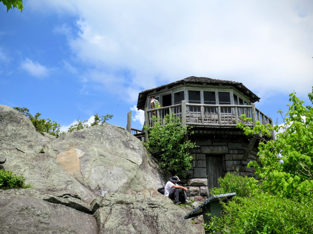
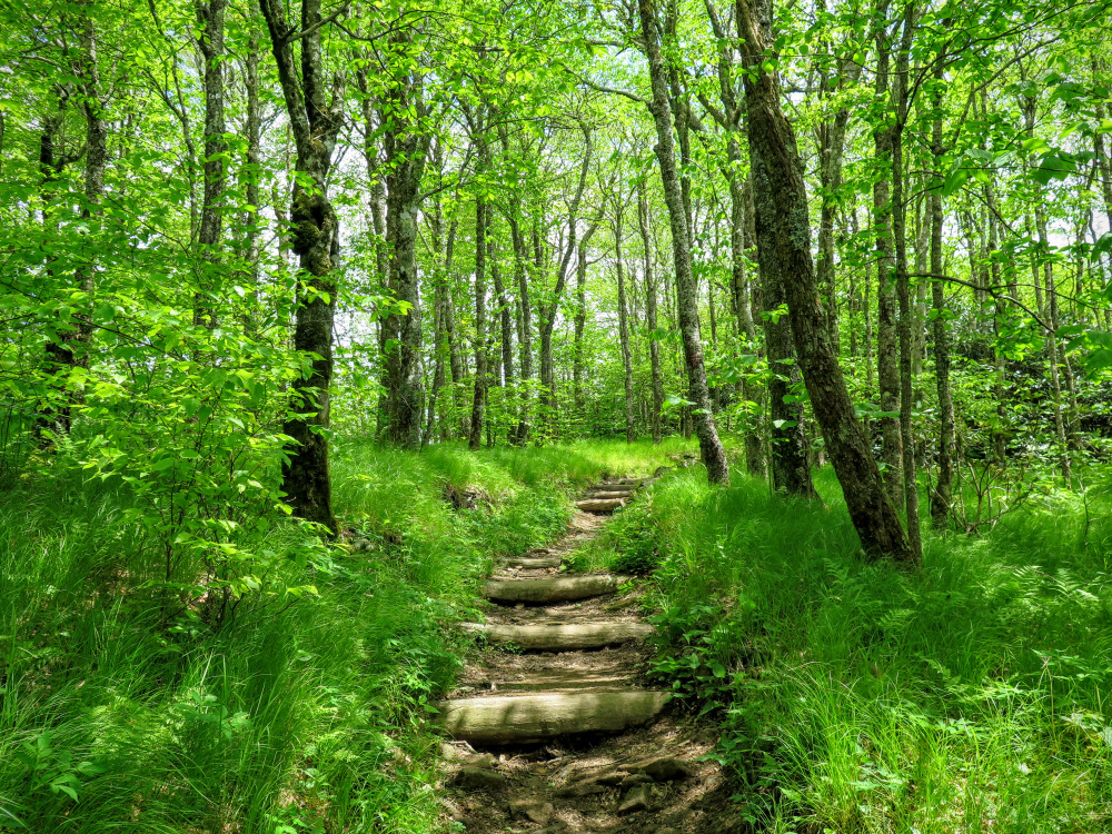
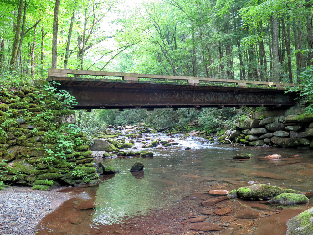
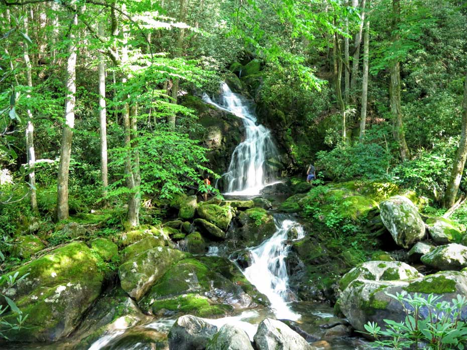
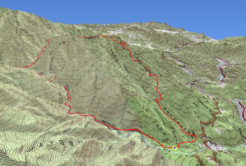
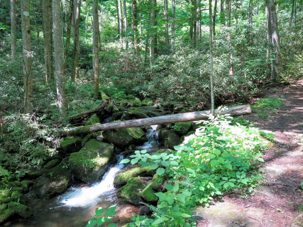
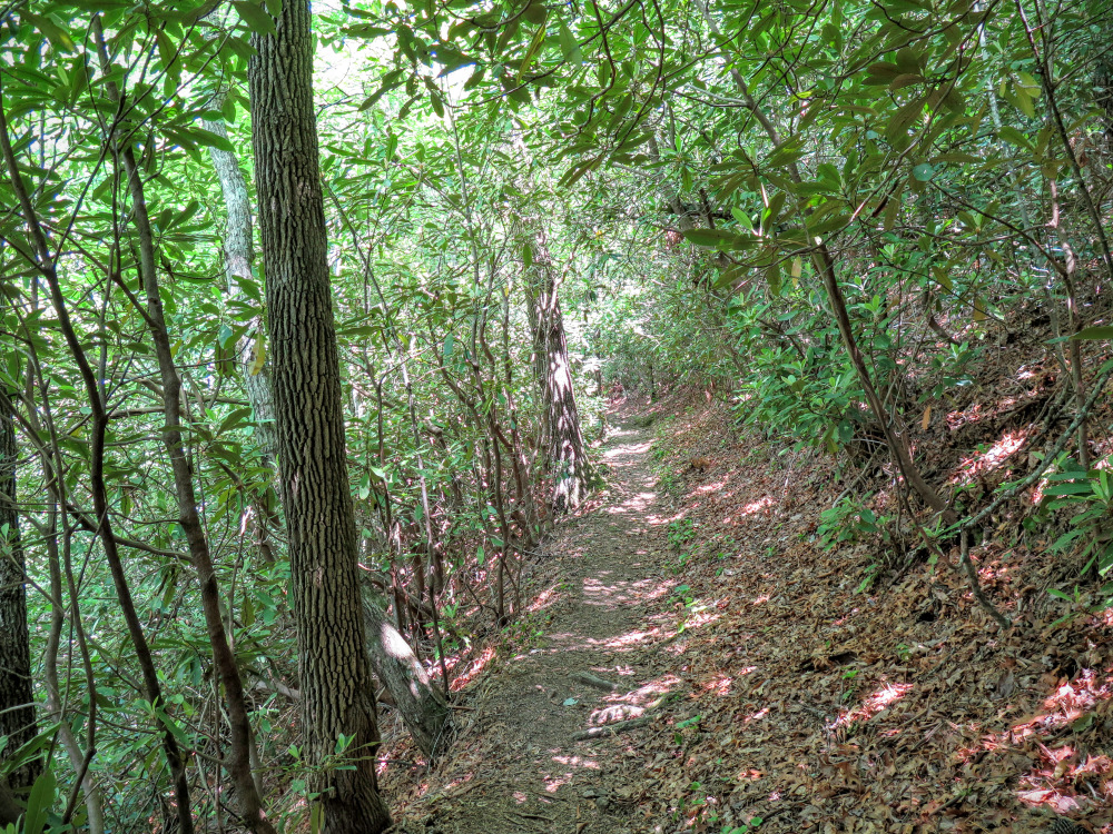
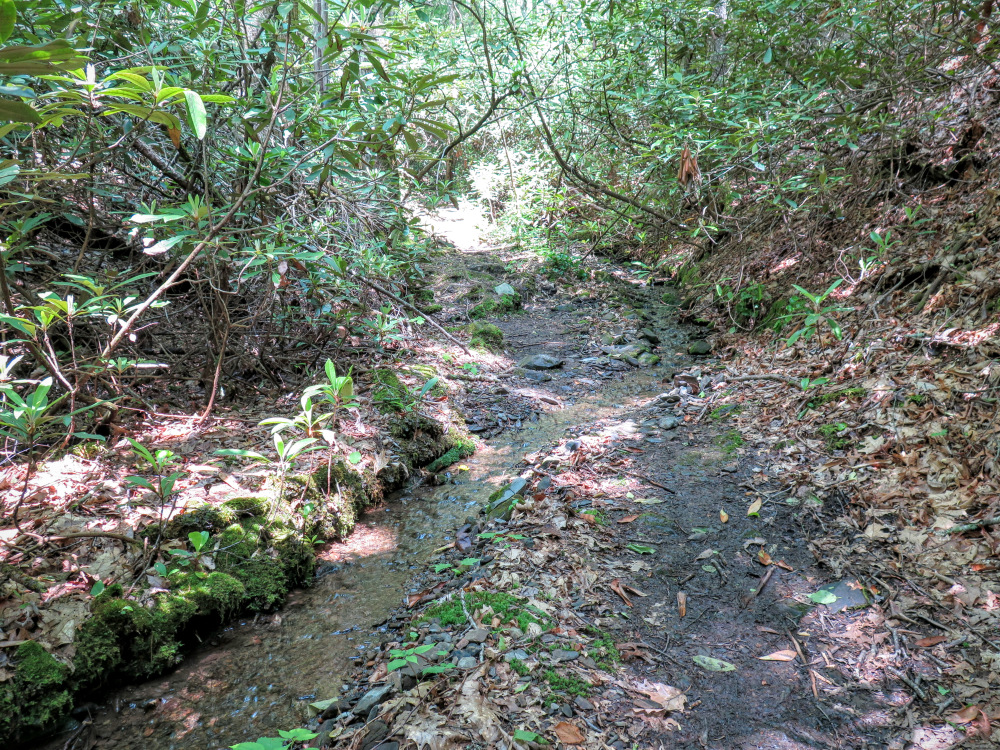
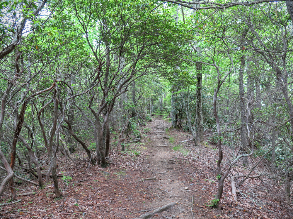
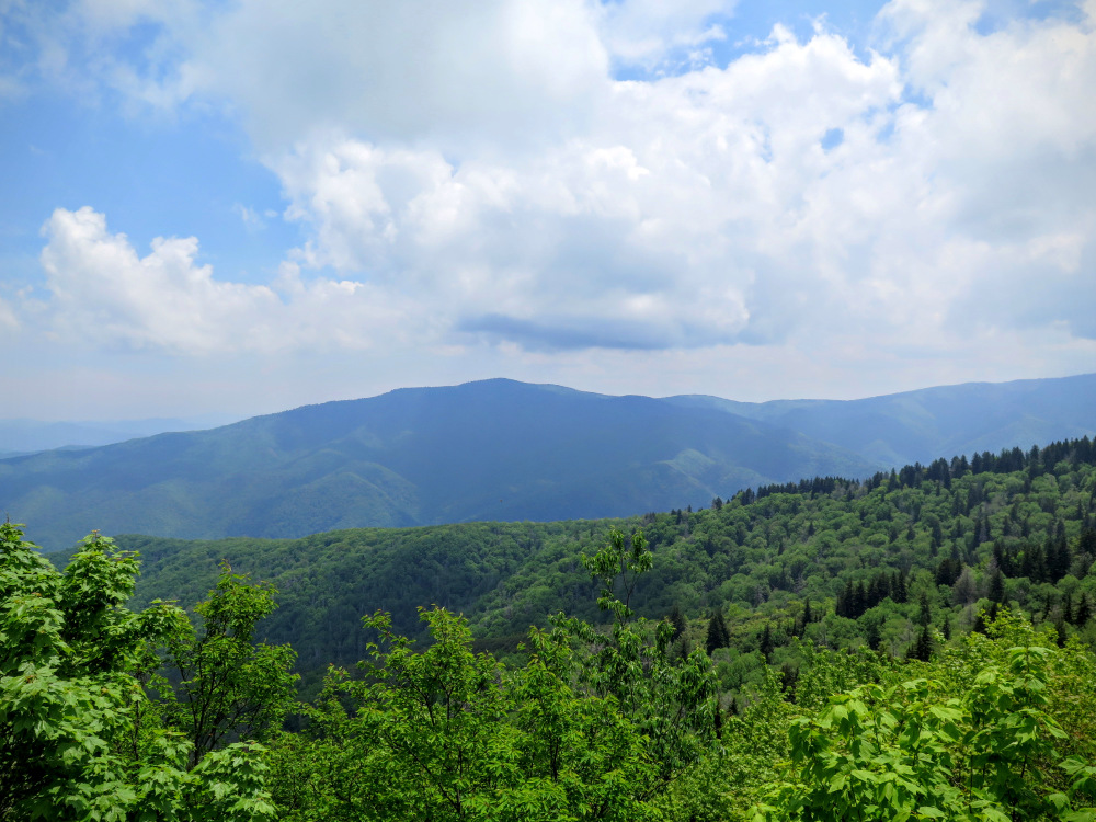
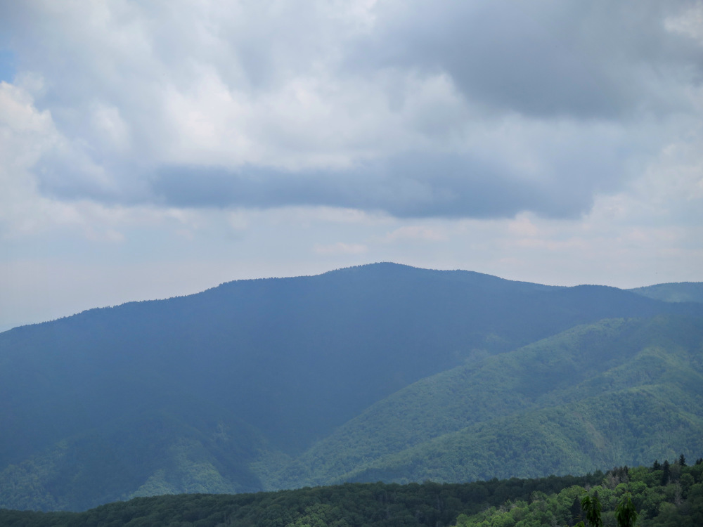
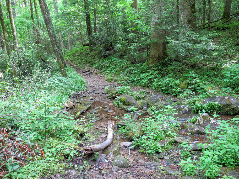
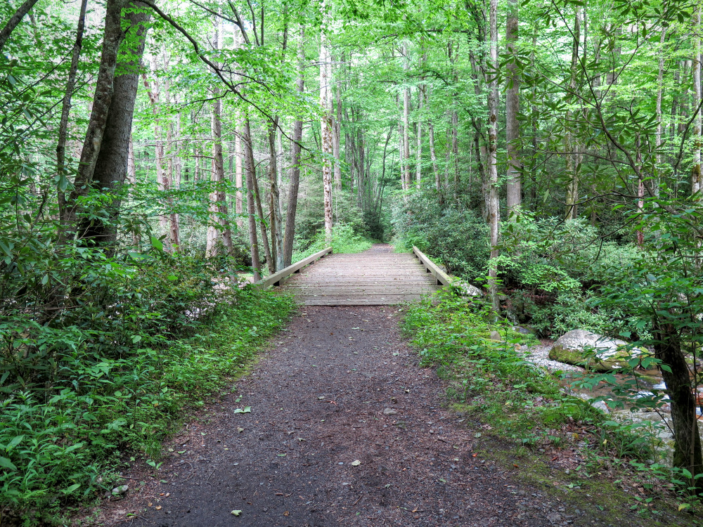
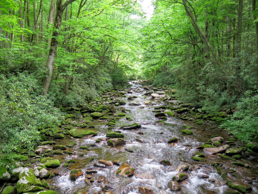
Although dwarfed by the many 6,000+ foot peaks in Great Smoky Mountains National Park, Mt. Cammerer is a popular destination in the less-traveled northeastern region. The mountain, a tad under 5,000 feet, has a beautiful stone octagonal fire tower with incredible panoramic views of western North Carolina and eastern Tennessee. Although you won’t find solitude on the hike to the peak, this trek is a minimum ~12-mile strenuous round trip from any direction meaning the hikers you pass will have earned their summit. The shortest, most popular option begins at the Cosby Campground on the Tennessee side and uses the Low Gap Trail. The hike described here is the longest, most difficult option. However, this loop hike is easily accessed from I-40 and includes long stretches of beautiful hardwood forest and many sights along the mighty Big Creek that you won’t have if you start at Cosby. There are multiple options for backcountry camping on this route, meaning you can hike this in one long day or break it in two for a perfect weekend trip. If you are only looking for a short day hike the Big Creek Trail is a very easy walk to Midnight Hole and Mouse Creek Falls. Otherwise we recommend climbing high above the valley to experience the magnificent views and scenery on Mt. Cammerer.
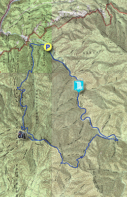
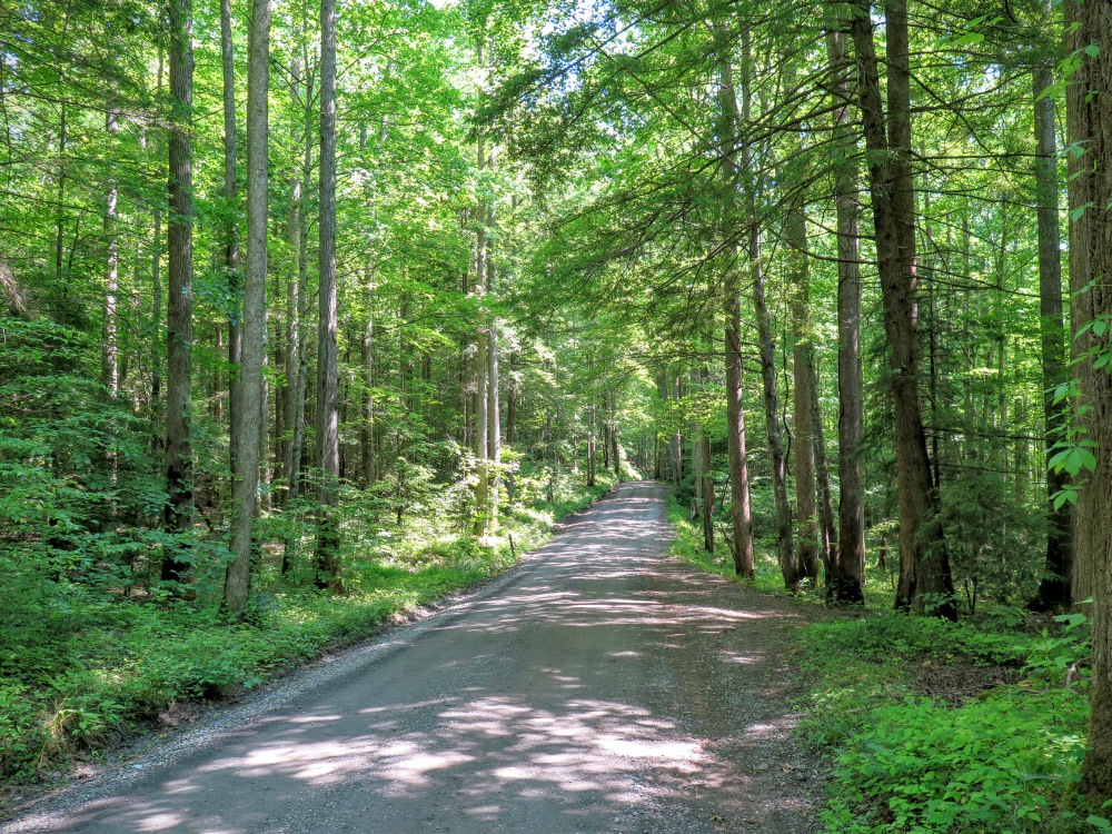
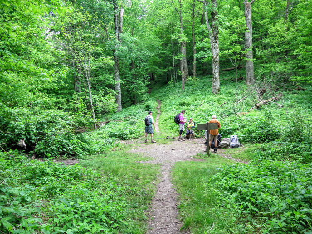
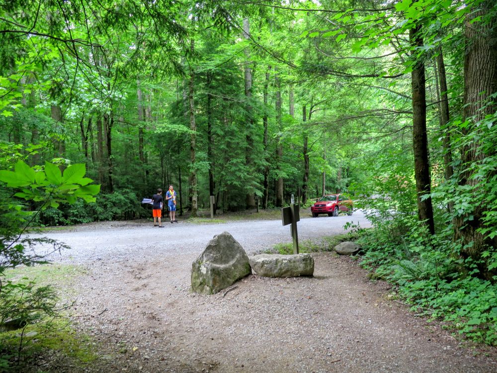
Parking at Big Creek Campgrounds – All of the campgrounds have parking issues throughout the year, especially during the summer. There are 3 parking areas and fortunately all of them are located along the beginning of this loop hike. If the Big Creek Trail parking area for campers and hikers is full, you can still park at the horse trailer lot or beside the ranger station. This hike begins at the upper parking area for horse trailers, be mindful to avoid parking near the trailers to give them room to turn. If parking is an issue there are usually rangers on site guiding cars to appropriate areas.
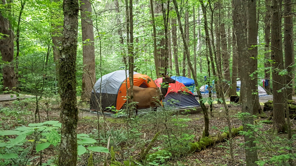
Frontcountry camping at Big Creek – There is frontcountry camping at the end of Big Creek Park Rd at the start of this hike. Visit this link for all information regarding reservations and fees for this campground.
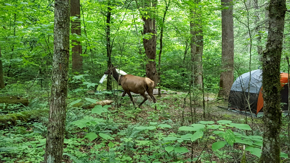
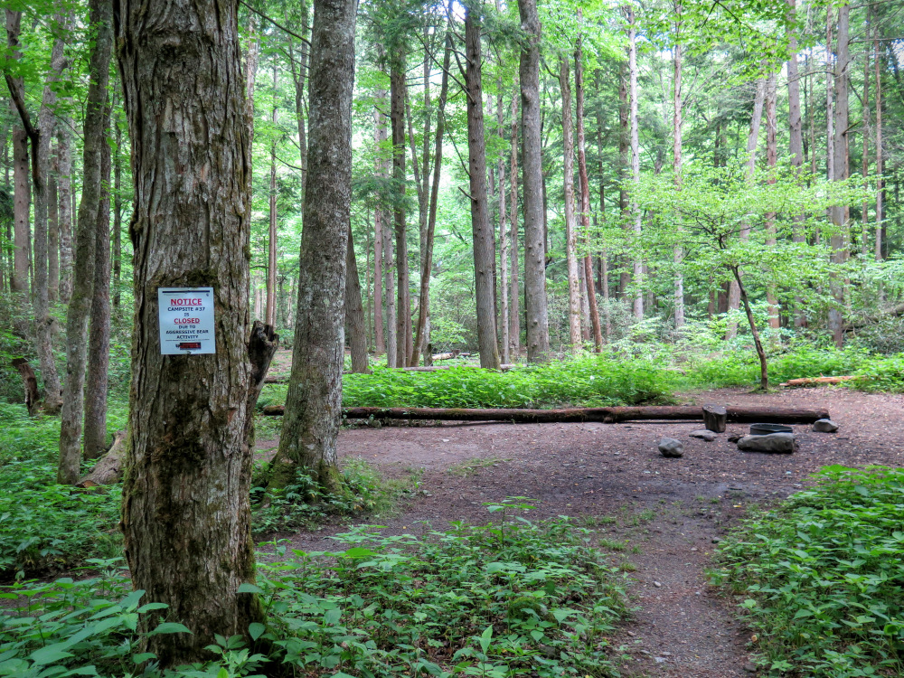
Backcountry camping around Big Creek - There are 4 locations along this loop that are accessible for backcountry camping. Visit this link to reserve backcountry sites and see which ones are open/closed. You are not permitted to camp in locations that aren’t official backcountry sites or Appalachian Trail shelters. Along the Appalachian Trail the Davenport Gap Shelter and Cosby Shelter are located close to intersections where you connect to the Appalachian Trail. The Appalachian Trail shelters are reserve only in the national park and you cannot camp on the grounds outside of the shelter. Primitive site #37 is located on this loop, and #36 is 0.4 miles from site #37. Note that site #37 and the Cosby Shelter have been intermittently closed recently due to aggressive bears.
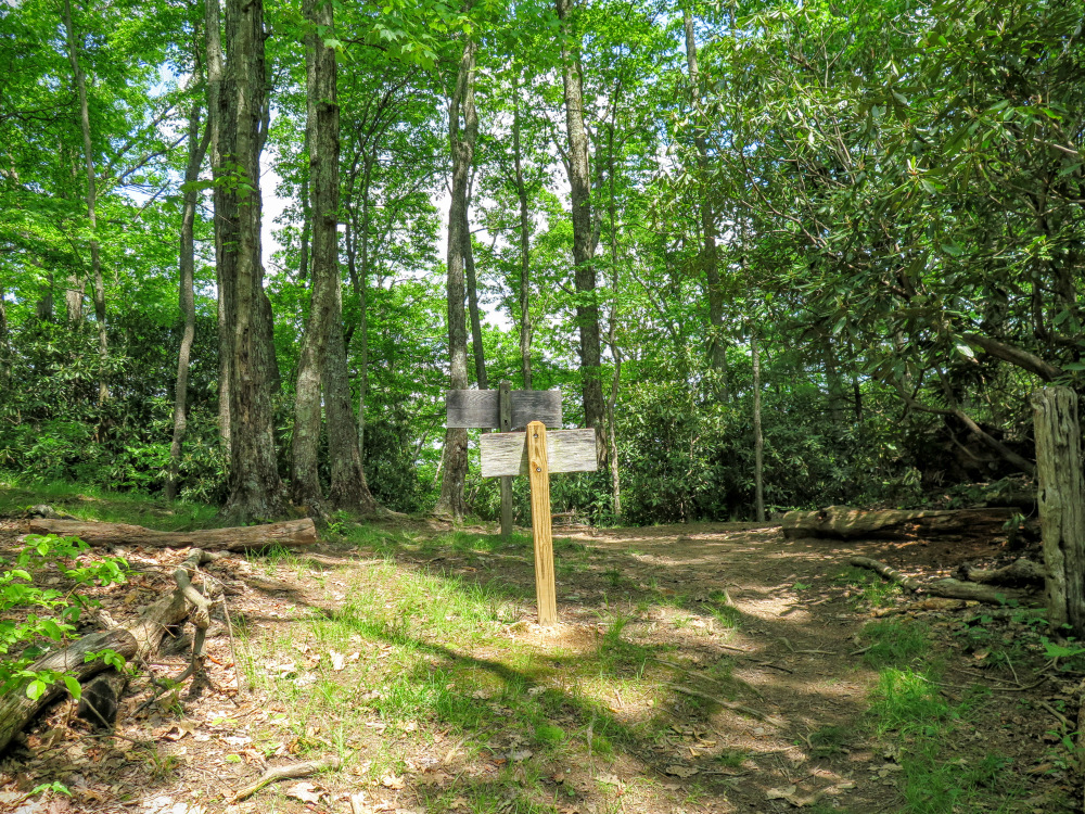
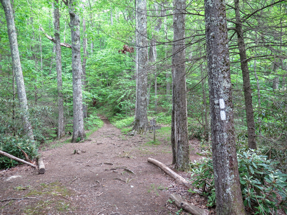
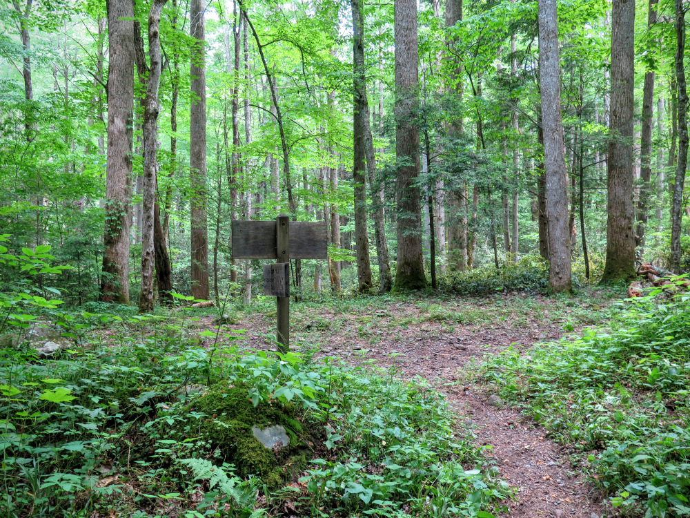
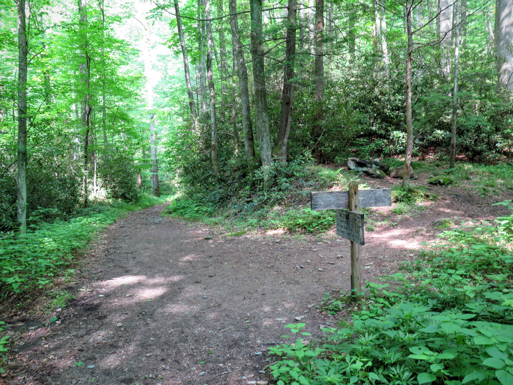
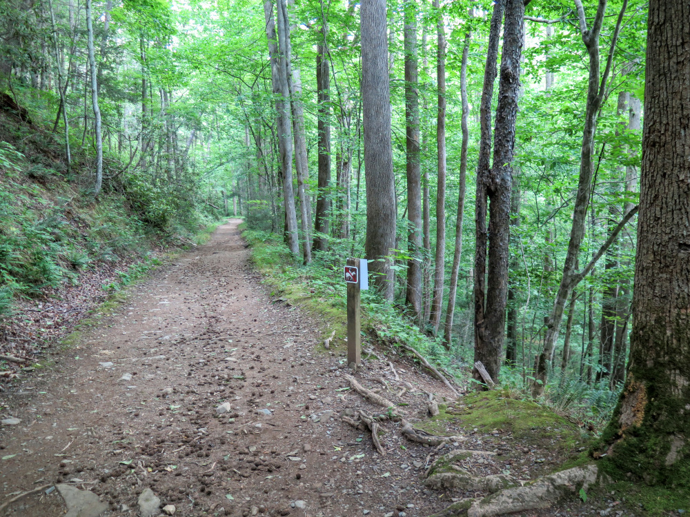
Trails – None of the park trails are blazed with the exception of the Appalachian Trail. However, all intersections are marked clearly with signs and trail names. Download our detailed topographical hike map and directions, or the Great Smoky Mountain National Park park map, and for purchase the National Geographic maps are sufficient and include mileage markers between significant points.
| Mile Summary and Highlights |
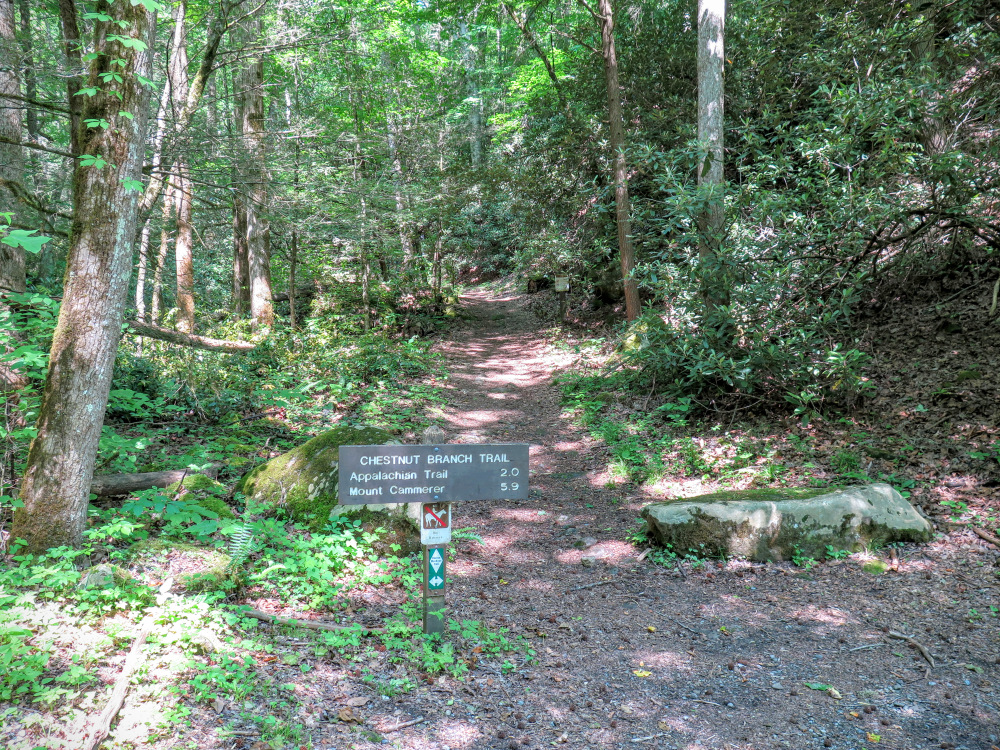
0.5 - Begin Chestnut Branch Trail beside Big Creek Ranger Station
2.6 - Turn left onto Appalachian Trail heading southwest
5.8 - Follow Mount Cammerer Trail north
6.4 - Views from Mount Cammerer lookout tower
9.2 - Leave Appalachian Trail at Low Gap following Low Gap Trail
11.8 - Meet Big Creek Trail at Walnut Bottoms campsites
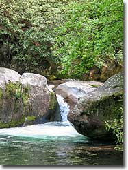
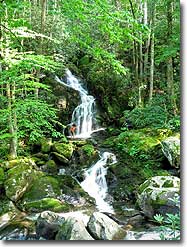
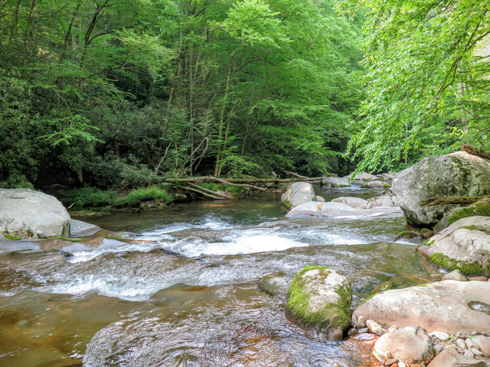
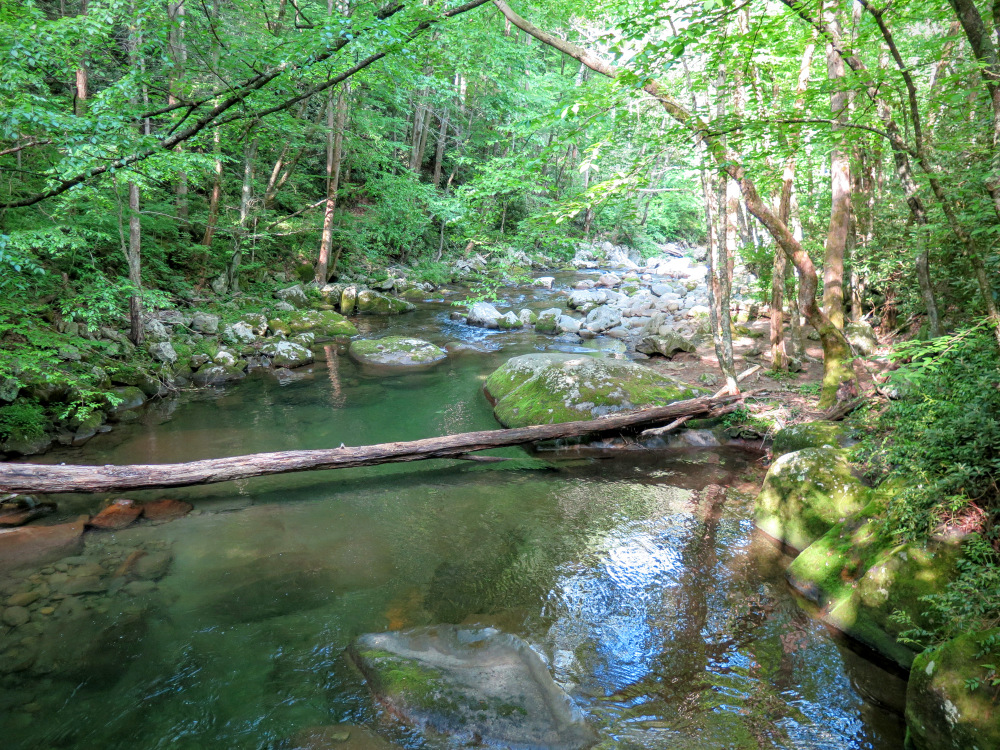
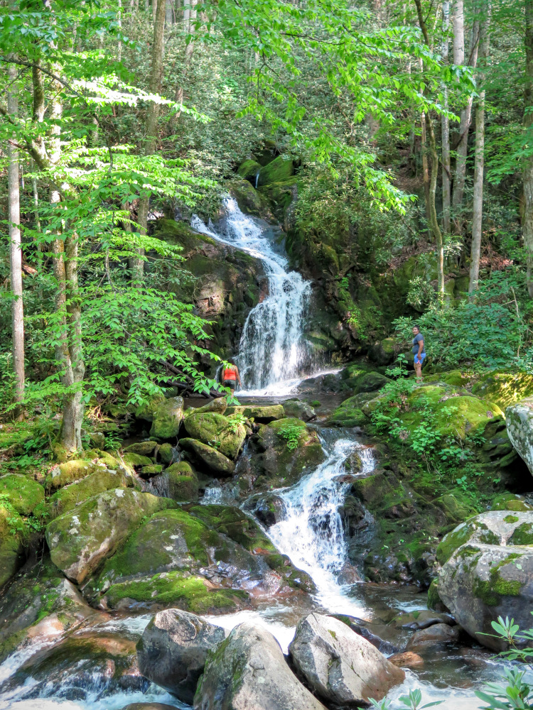
15.4 - Mouse Creek Falls across Big Creek
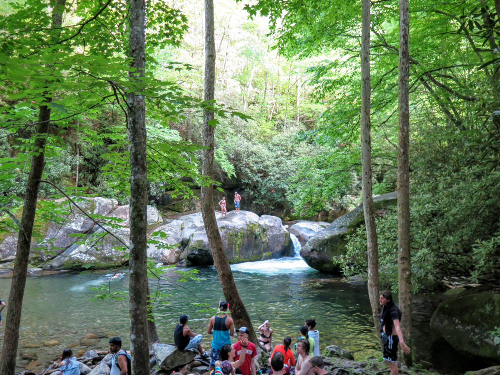
16.0 - Midnight Hole on Big Creek
17.5 - Big Creek Campground |
|
|


