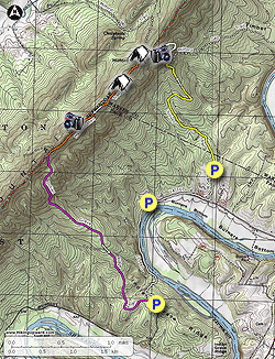
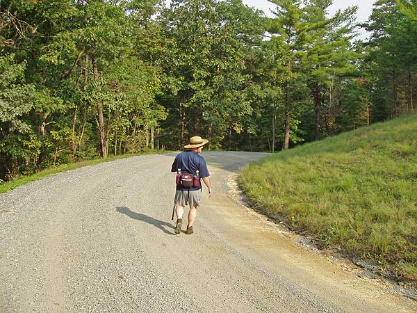
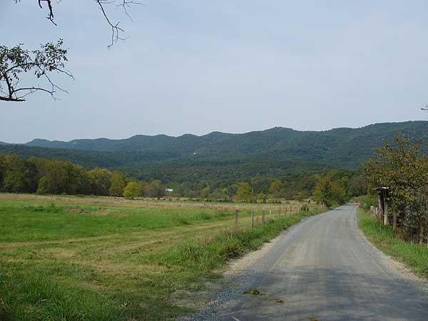
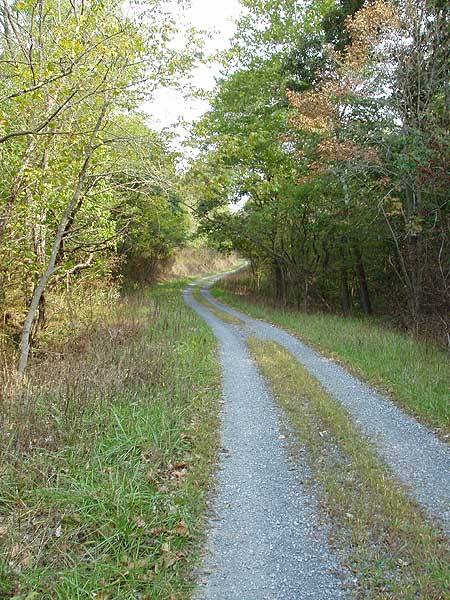
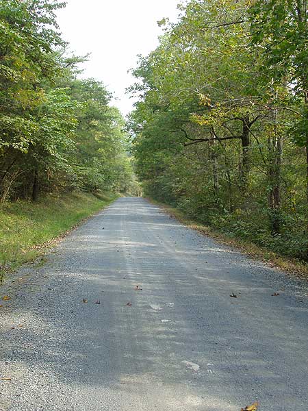
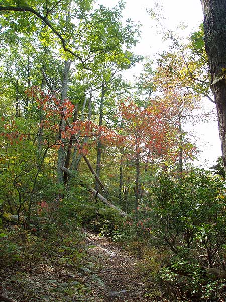
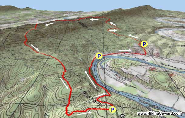
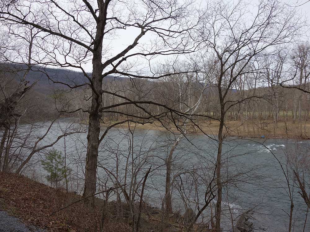
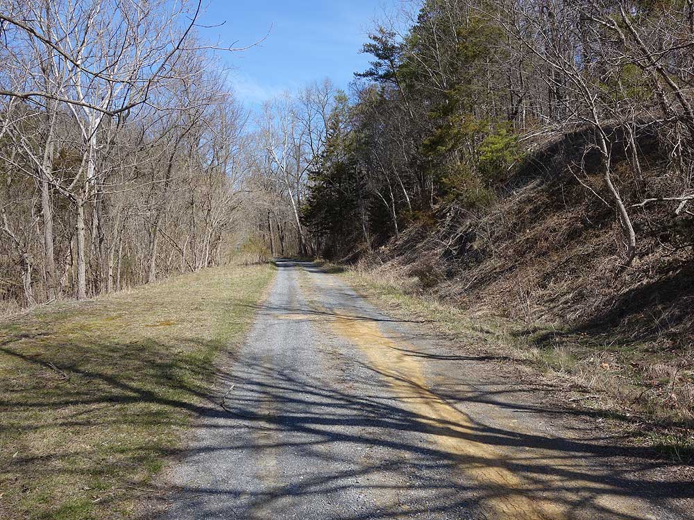
The Indian Grave Ridge circuit combines portions of VA 717, Toliver, Milford Gap, Massanutten, and Indian Grave Ridge trails, and is one of the least hiked circuits in the Massanutten range. This is probably due to people being put off by the VA 717 road walk. However the gravel road here sees very little traffic as it ends in another mile. This section of VA 717 is also is a pleasant walk beside the Shenandoah River. During the summer months you will see many people tubing and canoeing along this section.
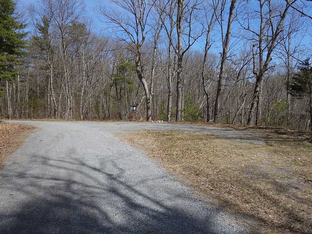
There are also three potential parking locations. The first is just off VA 717 at the Indian Grave Ridge trailhead but requires a high clearance vehicle when rutted. The second (recommended) is at the closed boat ramp on VA 717, and the third is at the Toliver trailhead.
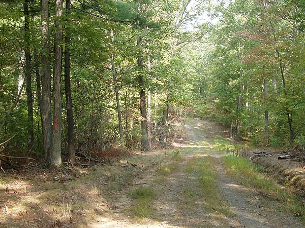
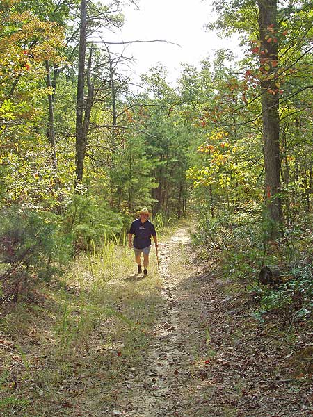
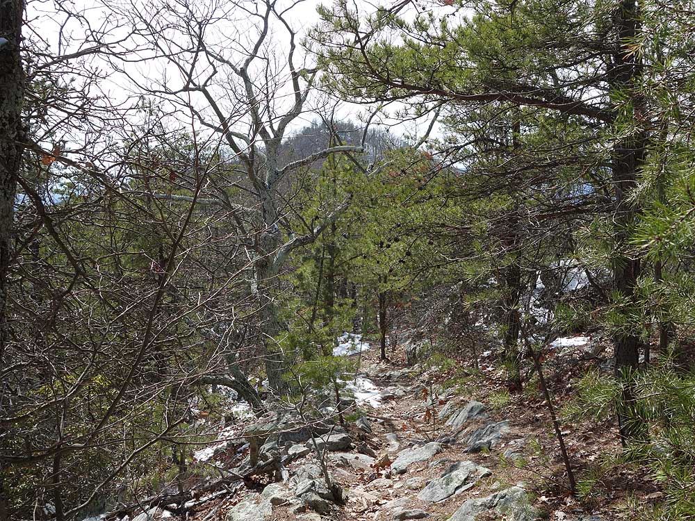
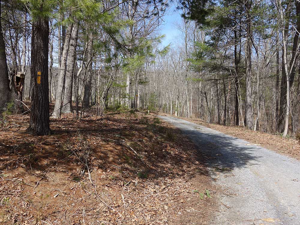
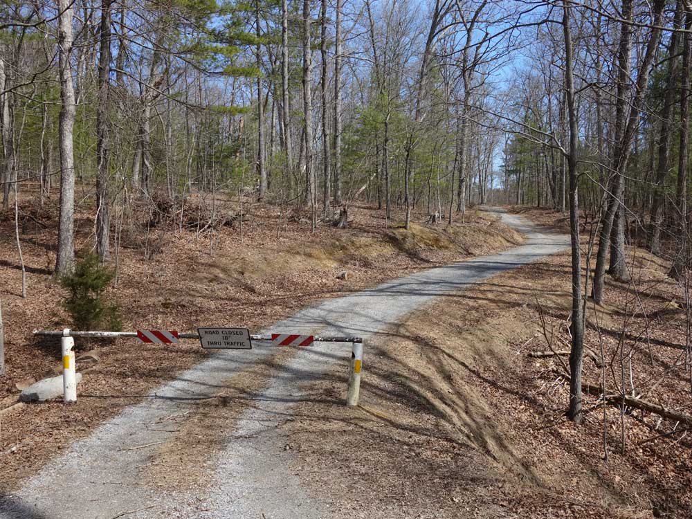
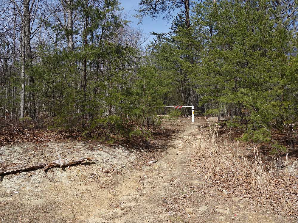
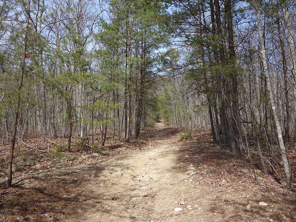
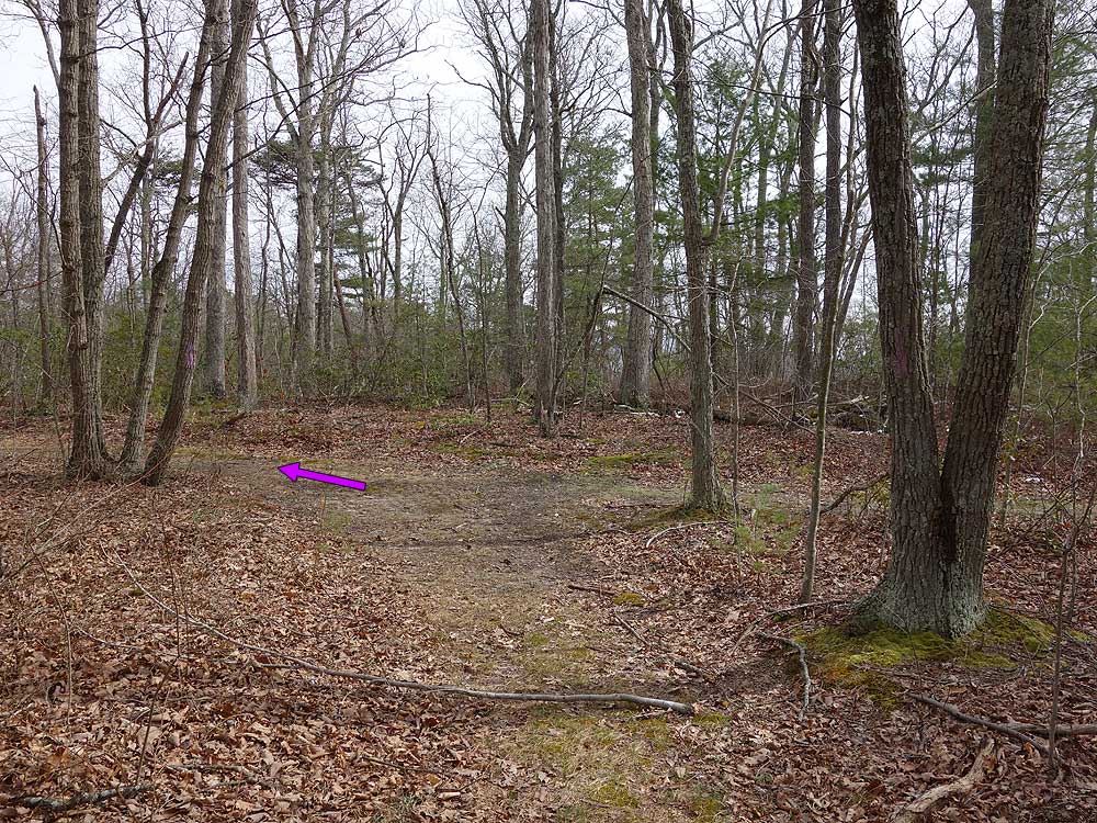
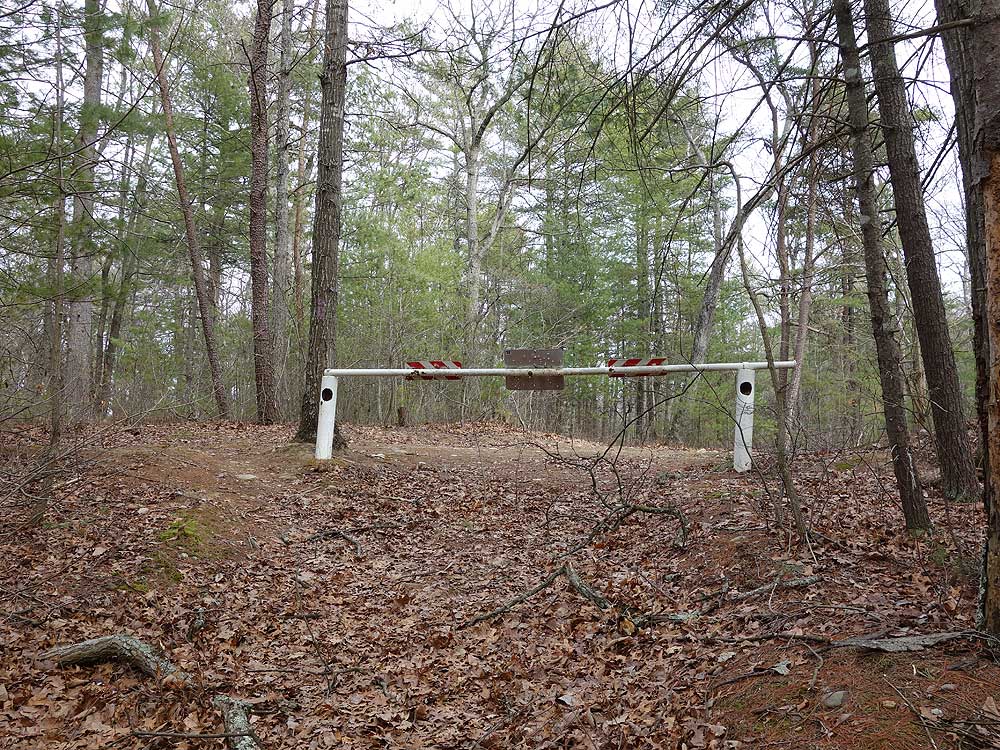
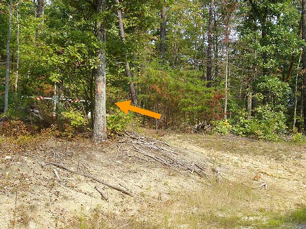
Mile 1.05 - The Toliver Trail is yellow blazed. Pass around a closed gate where for the first 1.24 miles the trail is part of a forestry road. As the trail climbs Massanutten Mountain it will make two large sweeping turns. First to the left and then back to the right.
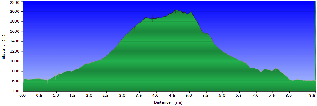
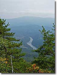
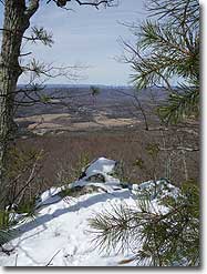
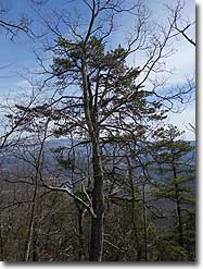
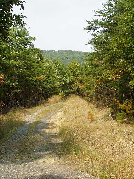
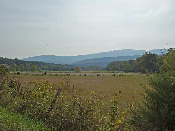
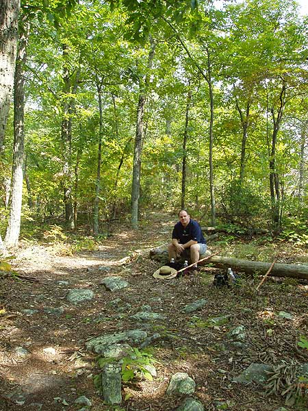
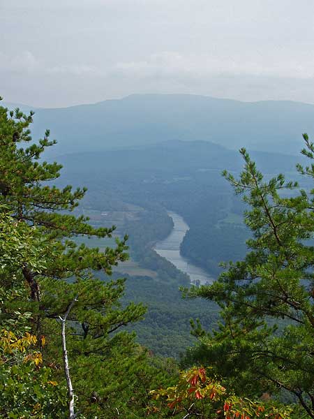
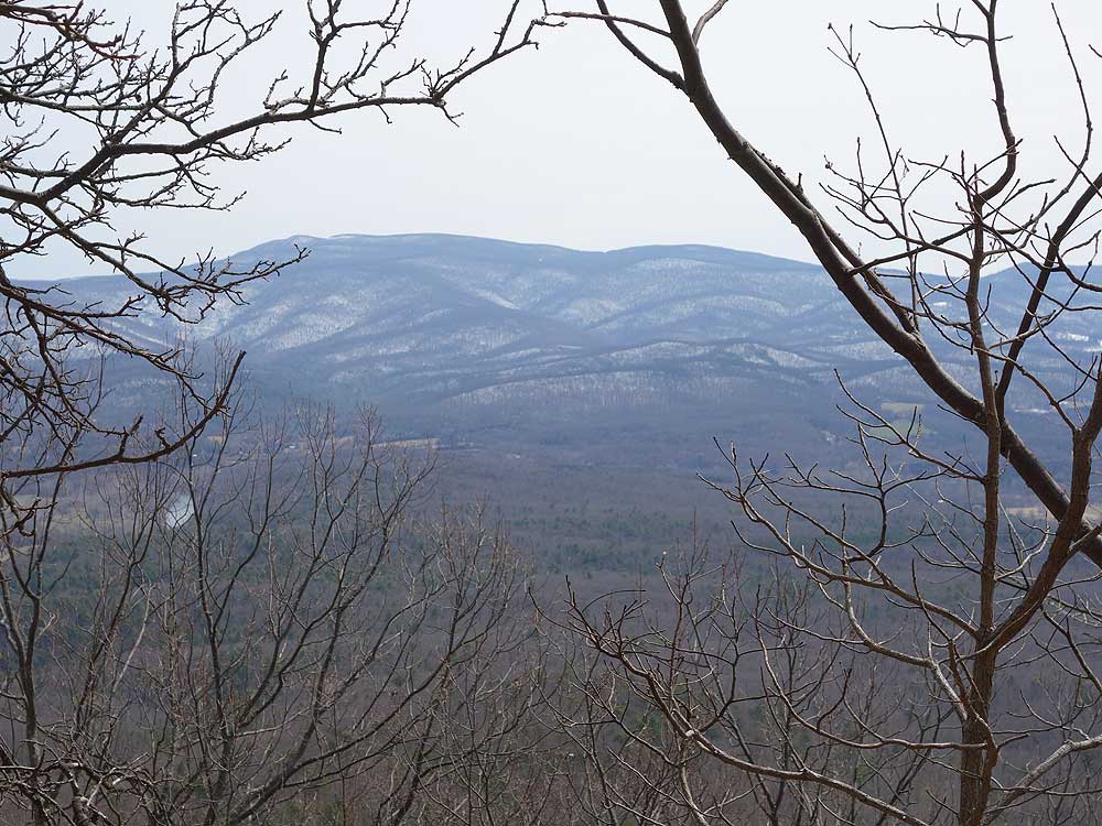
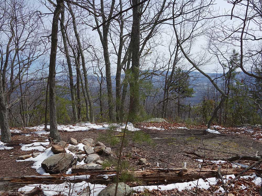
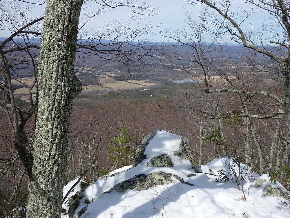
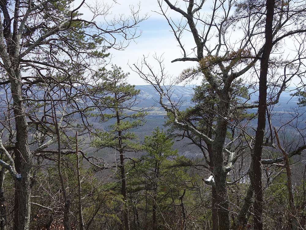
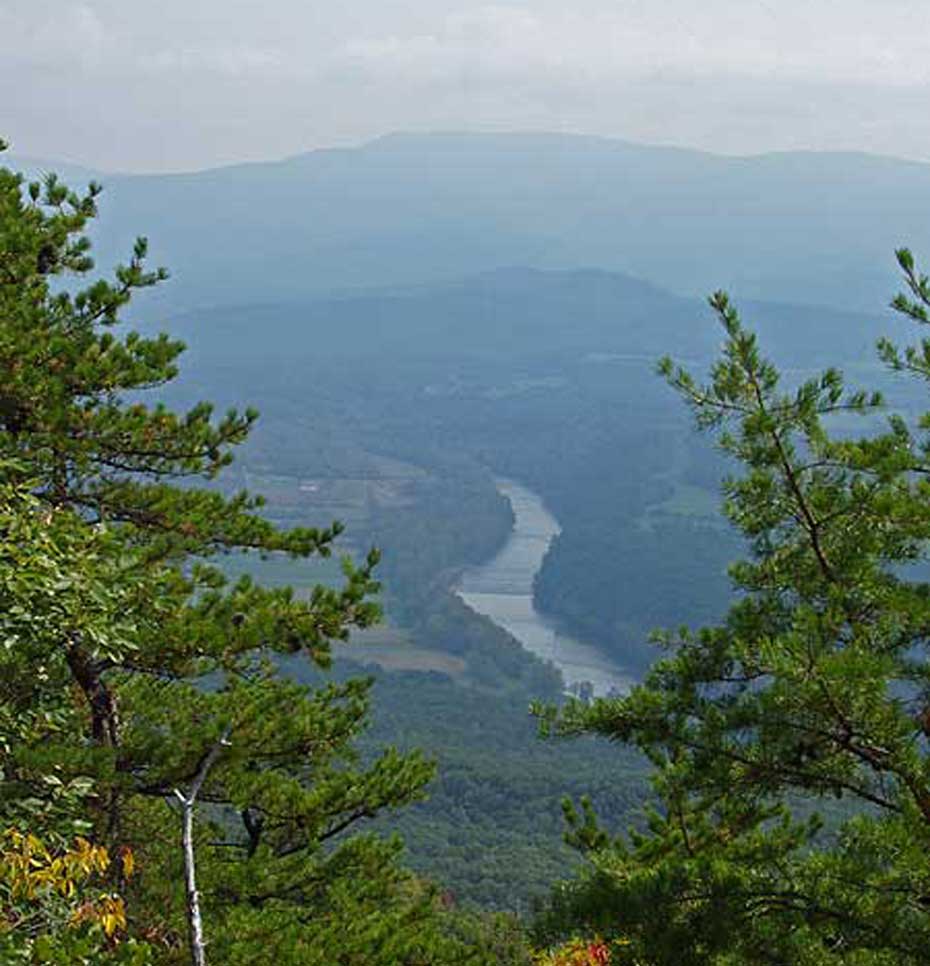
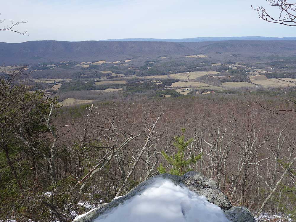
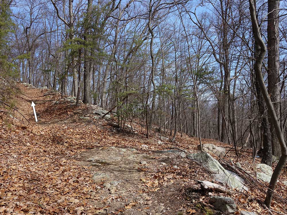
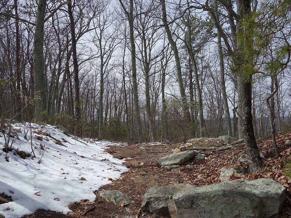
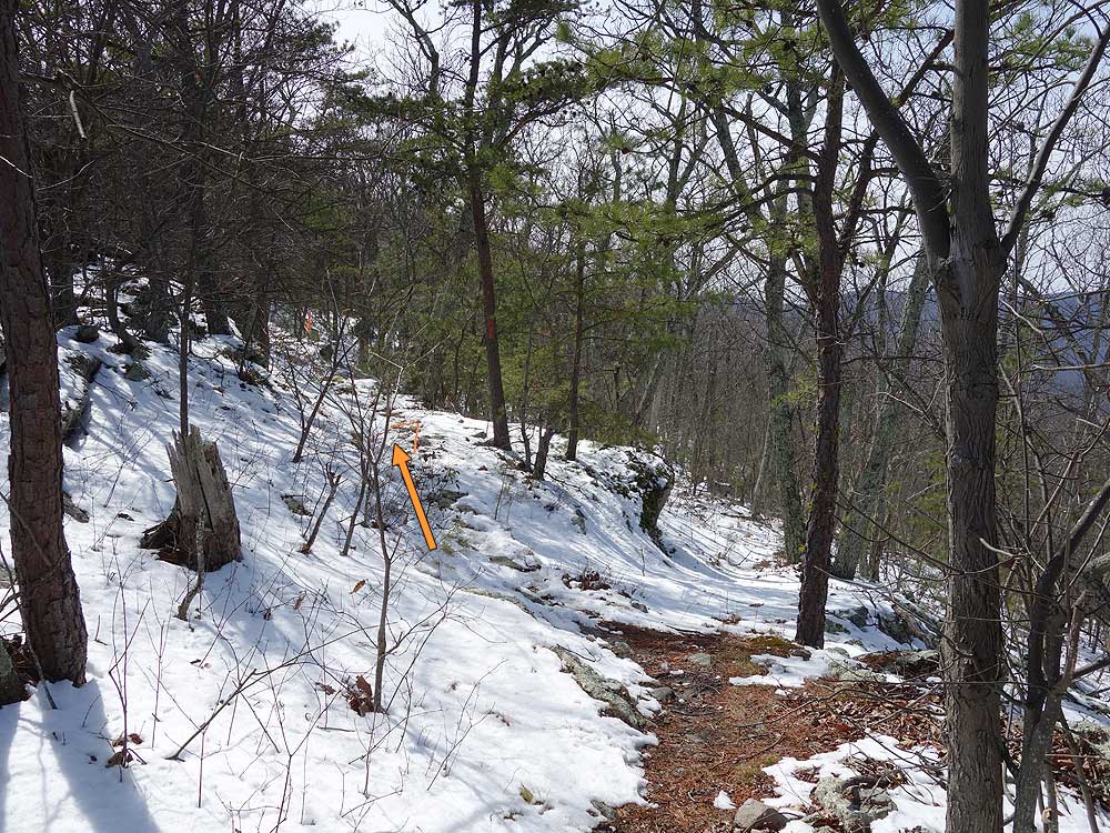
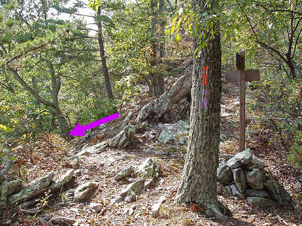
Mile 3.43 - Arrive at the ridge and intersection of the orange blazed Massanutten Trail. There is a small campsite at the intersection, and the Milford Gap Trail now continues downhill on the western side of the mountain. Turn left/south on the Massanutten Trail is it follows the ridge. There are numerous views of both the Luray Valley to the east and Fort Valley to the west.
Mile 3.79 - Pass a large, and best campsite, on the hike. Continue on the Massanutten Trail for another 0.73 miles passing an excellent westerly view of Fort Valley. From this overlook it is 0.34 miles to the next intersection.
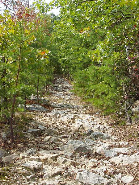
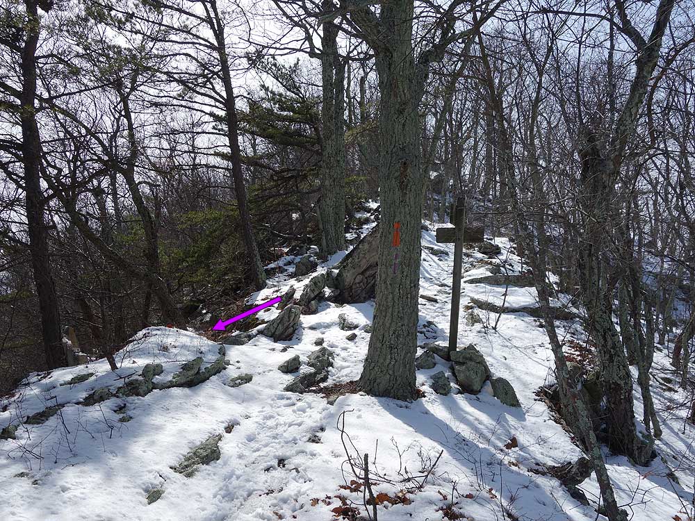
Mile 4.96 - Arrive at the intersection with the purple blazed Indian Grave Ridge Trail. Turn left/east downhill as the trail initially descends very steeply for the first 0.75 miles. Pass through a small saddle on the ridge and continue downhill until the Indian Grave Ridge Trail turns left at an intersection with another old hiking trail.
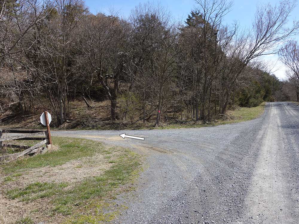
Mile 7.49 - Turn left and walk north along VA 717. The road will descend towards the Shenandoah River where it levels out for the remainder of the hike.
Mile 8.6 - Arrive back at the closed boat ramp parking area.
Late September
Mid March
Indian Grave Ridge
Indian Grave Ridge Hike Comments
Archived Comments
By:JLP
Rating:
Date of Hike: Saturday, October 5, 2019
Love ridge hiking, and enjoyed the views of the river when walking along the road. A couple of notes -
1) Look at the picture for the left onto 236, because there are no road names or trail signs there to tell you you're in the right place. The stop sign was my only indicator that that was where I was supposed to turn.
2) The parking at Indian Grave Ridge trailhead is on your left and easy to miss - the parking is set back off the road with a tiny sign, and the short driveway into the parking lot is a little sketchy, but I was able to get my low-clearance car in, as did several others.
3) I personally prefer parking at the Indian Grave Ridge trail and getting all the road walking out of the way first, especially in the morning before there's any traffic, but a bonus for using the middle parking at the closed boat ramp is that there's a pit toilet there and easy access to the river if you were hiking in summer and wanted to finish the hike with a dip in the river.
By:Rob Hutchins
Rating:
Date of Hike: Sunday, February 3, 2019
I've done hundreds of hikes in the Luray and surrounding areas and this one was one of my favorites. Yes, it was a little muddy. Yes, there were leaves hiding the rocks. But, there was literally no one on the trail except me, my two buddies and my dog. It took us just over 3 hours to complete, pausing on the ridge for a 20 minute lunch. We started at around 8am, parked at the closed boat launch and headed up 236. The hike up was good but the ridgeline was SPECTACULAR. The pine needles and moss added to the allure of the hike. Heading down was a little rough (look at the elevation map before going) because of the steepness but, overall I LOVED this one.
I'm sure there are a hundred little things I've missed so I'll be hiking it again. My Bernese Mountain Dog, Bailey loved the hike, as well and he'll be going again.
Here's a link to the pics I took along the way. And, yes. My dog lays in every puddle he can find.... He's weird.
https://photos.app.goo.gl/fvduCCT25eXqEV8u9
By:Daddy
Rating:
Date of Hike: Friday, January 4, 2019
After camping out overnight at a nearby family farm on the Shenandoah River, my son (11) and I hiked starting at Toliver Trail. Its a road trail but was open. That is the gates were wide opened. So instead of hiking the road we drove our vw camper upto mile 2.29 of the map directions, then hiked to approx. mile 3.79 . All nice view and go to skip the road hiking which I do not like always. Toliver was muddy!!! That is MUDDY with all caps. If it were not for the leaf's not sure we would of had traction to get up the trail.
I would like to go back and do the entire loop one day.
I love Hiking Upward.
By:hopeful
Rating:
Date of Hike: Friday, February 9, 2018
We chose this hike because of no stream crossings as it had just rained quite a bit. It was a good choice. The trail was soggy in places, but not too sloppy muddy. We were not able to find the first parking lot as the sign was missing. There was just a red post where the sign probably should have been. We drove on down to 236 and had no trouble parking there. The road sign was also missing there, but someone has painted the number on a stop sign. I was happy to see that there is an outhouse at the boat ramp, but it was locked.
By:hopeful
Rating:
Date of Hike: Friday, February 9, 2018
In thinking about this more, I definitely recommend the parking on 236. It is a large, flat lot a little way up the road just as described.
By:Saunagoblin
Rating:
Date of Hike: Monday, December 25, 2017
Hiked it on Christmas Day and not only did I not see another person, I didn't even see a car, driving or parked on the ~2 mile stretch of dirt road. I did it backwards from parking lot 1 going up the purple blaze to the ridge so I could let my dog run off some energy on the trail and leave the road for when he's tired. Directions were pretty easy to follow, the top of the purple blaze was very steep. Great views on both sides of the ridge, but not many streams at all - glad I brought plenty of water.
By:Sean
Rating:
Date of Hike: Friday, September 1, 2017
I enjoyed the several views very much. I was impressed how good they were considering the leafy trees. The views would be even more impressive with fewer leaves in the off season. I liked this hike overall. The descent from the ridge was quite steep at the start and a little annoying. Was glad I had one trekking pole -- I could have used two. I was confused a couple times on navigation and was glad to have the map and description, and also the trail route loaded into my GPS device.
No signs of others, not even boot prints, except for horse hoofprints along most of the trails. I agree with others that this is a solitary hike. Chiggers: I haven't been bothered by them in years of hiking in these parts but discovered about 50 chigger bites at home. No big deal but annoying. I don't know where they came from as the trail was relatively wide and I wasn't in brush or grass area, except where I parked my car. I would use insect repellent on this hike, especially around my ankles, next time.
Parking: For parking area 1, to get into the main part of the first parking area you need a high-clearance vehicle due to deep potholes. There is a little space for one low-clearance vehicle to the right before the main area, right as you turn off the road, in which I parked. The second parking area, after I hiked past it, seems the most convenient to me. The third parking area is a little indefinite but would work too. Use caution and watch out for vehicles while hiking the part along the road. There were not many vehicles.
I often use Google Maps to navigate from my home to hike parking areas by inputting the coordinates. I tried Waze this time, which took me to a dead end on the other side of the mountain. Went back to Google Maps which worked fine.
By:Ash
Rating:
Date of Hike: Sunday, July 23, 2017
I parked at the first parking area and followed the route as prescribed. I would rate this 3.5 if I could. It's a tale of two halves. The first half is gravel road and fire road. This part of of Luray is so pretty that even the road walk is nice. However, it's not as nice as the back half. So nice and nicer for me. Once off of the roads the trail had a lot to offer as its characteristics change often. It's a pleasant walk in the forest. The views, while difficult to capture in a photograph due to the trees, are beautiful. If I do this again I think I will do an out and back on the second half.
By:old man walking
Rating:
Date of Hike: Sunday, December 14, 2014
This hike has a little bit of everything, other than stream crossings. It has a walk along the river, gentle sloping logging roads, steep rocky trails near the top, and views as you hike along the narrow ridge. I"m sure it would have been spectacular earlier in the fall before the leaves fell. The walk along the river was pleasant, and this time of year, canoeing related traffic was not a problem. I saw a belted kingfisher. I saw lots ob bear scat farther up the ridge but no bears.
After hiking up VA236 to the start of the "orange blazed" logging trail, I observed that the blazes were more of a yellow hue than orange. They were distinctly different in color from the familiar orange blazes along the Massanutten Trail at the top of the ridge.
By:aldikuma
Rating:
Date of Hike: Sunday, December 7, 2014
Second time on this hike and I liked is just as much as the first time! The views from the ridge are not 100%, but the trails are definitely beautiful along the ridge and stream. It's also a great workout. I aimed for a completion time of 3:00 hours and made it back to my car in 2:50. Phew! I would like to return when there's snow on the ground - it would be so pretty.


