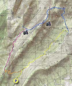
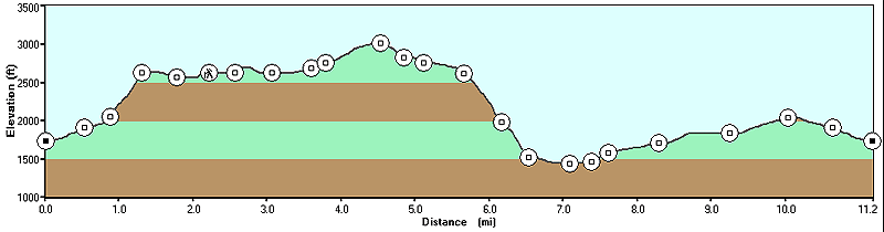
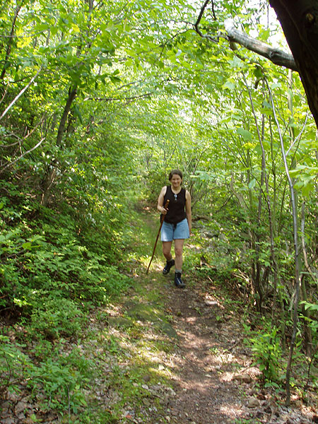
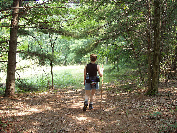
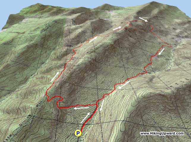
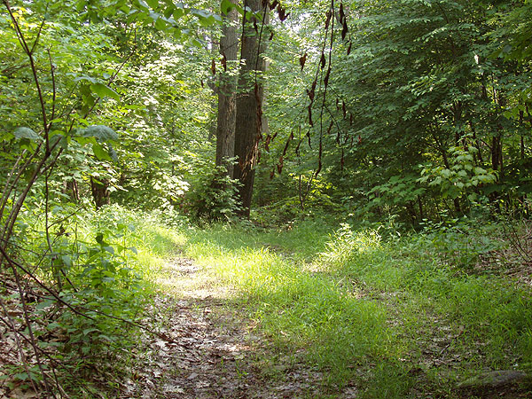
A long hike to take in just a single day, the Little Sluice
hike is best done as an overnight hike. There is a great
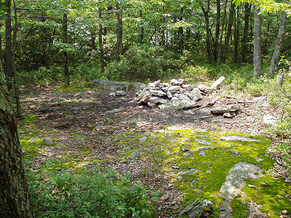
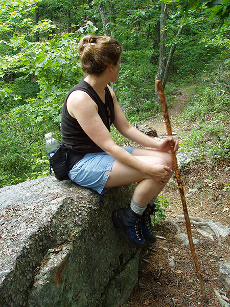
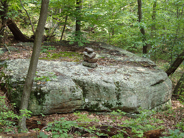
campsite on the White Rocks trail, 50 yards from the lookout.
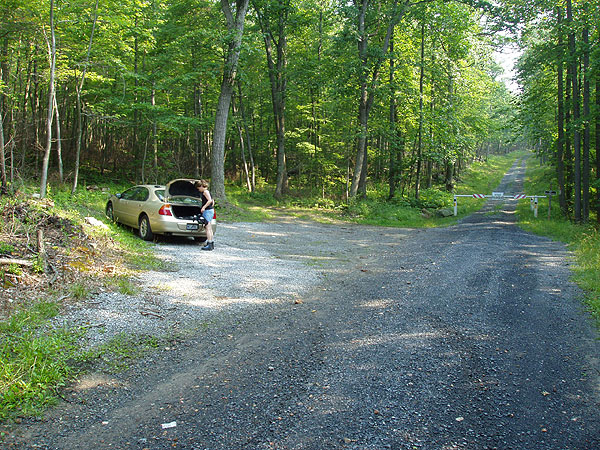
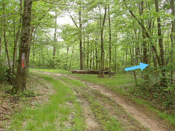
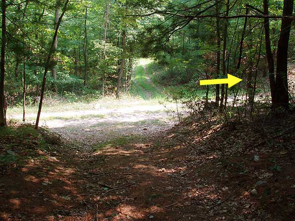
To start, hike up FR88 for 0.5 miles past
the gate where you parked and turn left uphill on the
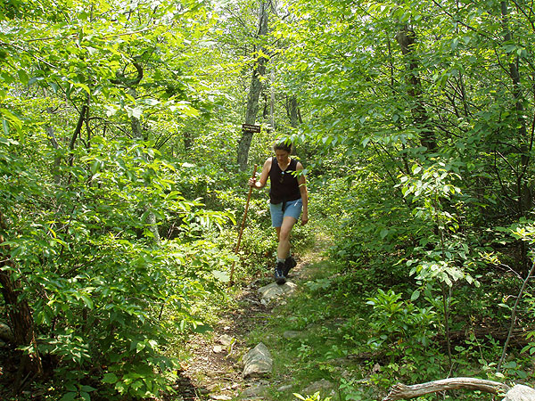
orange blazed Bread Road Trail. Follow the trail as it gets
steeper for 1.3 miles before coming to the ridge line and
junction of the Little Sluice Mountain Trail.
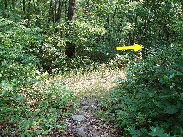
Turn right on the purple blazed Little Sluice Mountain Trail
as it descends and rises along the Little
Sluice Mountain ridge for the next 2.5 miles. Be alert
to remain on the purple blazed trail, as there are several
old woods roads that intersect it.
You will arrive at a four
way intersection and the purple blazed trail you have
been following turns left becoming the blue blazed Tuscarora
Trail. You need to make a right turn onto the Tuscarora/Three
Ponds Trail which is both green and blue blazed, the greens
blazes were used for a deer study.
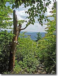
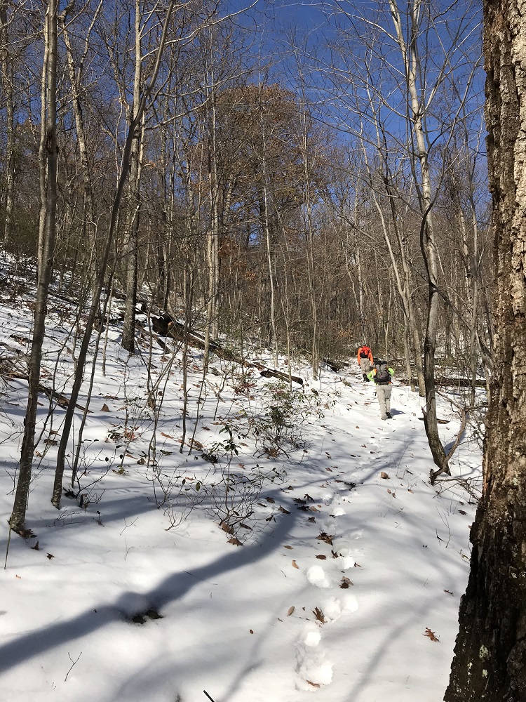
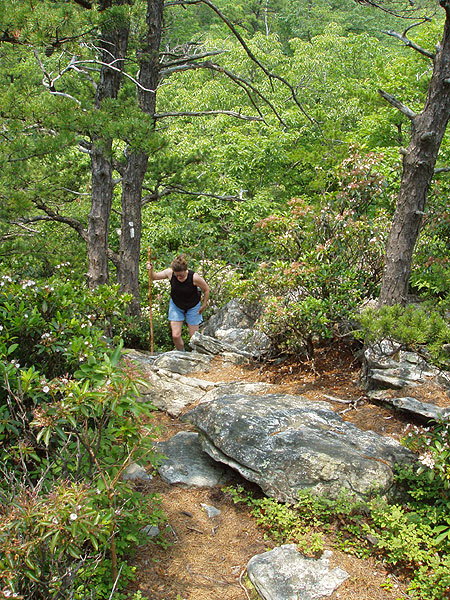
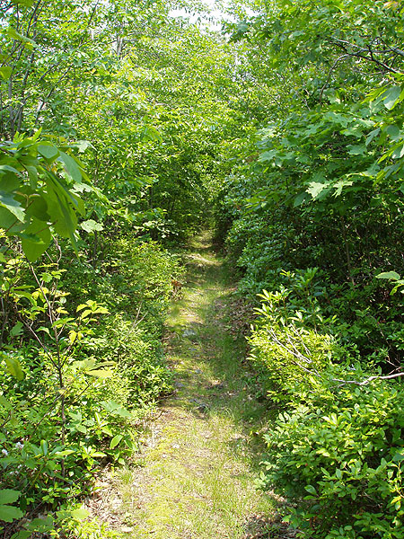
Ascend for 1.4 miles before
beginning your descent where the
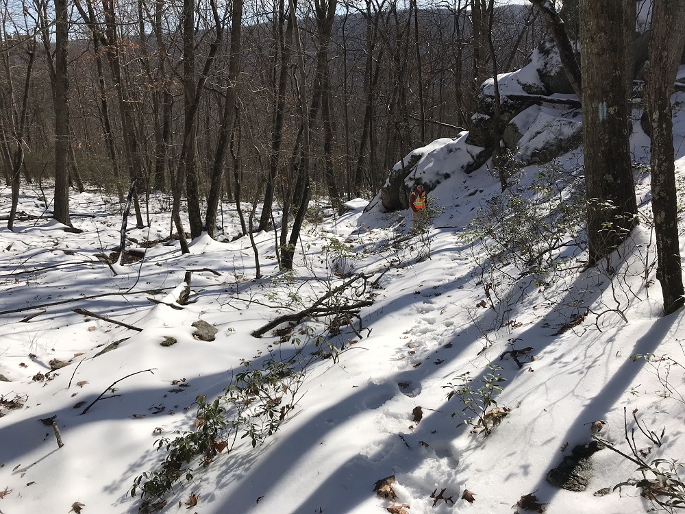
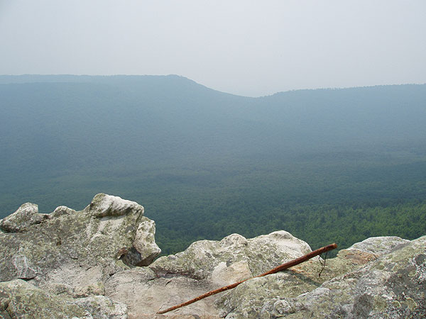
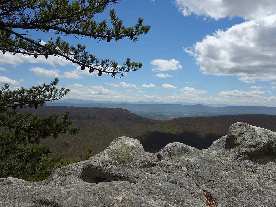
white
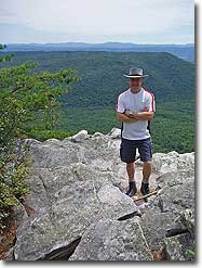
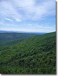
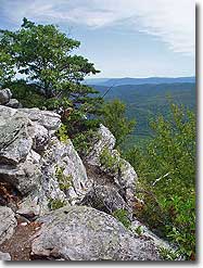
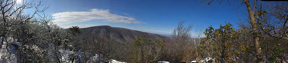
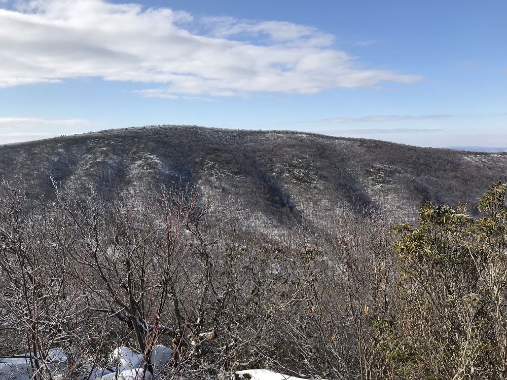
blazed White Rocks Trail leads to the best vista of the hike.
Turn right and follow the white blazed White
Rocks Trail to the vista in 0.3 miles.
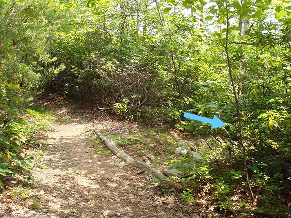
After returning to the Tuscarora/Three Ponds Trail, continue
for 0.5 miles where you meet the pink blazed Old Mail Trail.
Turn right
at the trail junction staying on the blue blazed trail .
The trail becomes less rocky as you follow it for another 0.3
miles before you need to turn
right as the blue
blazed trail now turns downhill.
This section of the trail winds through a pine grove before
coming to the next trail junction in 1.3 miles. Turn
right and cross a small run following the blue blazed
trail for another 0.7 miles to the junction
of FDR 1863.
Turn right and ascend on yellow blazed FDR 1863 for 1.5 miles
before the road ends at a small clearing. At the left of the
clearing, yellow blazed Cedar Creek Trail continues downward
for another 0.5 miles before meeting
the low water route.
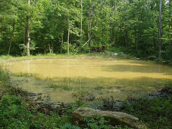
Turn right continuing to follow yellow blazed Cedar Creek
Trail and pass a small
wildlife pond on your left in 0.8 miles. In another 0.5
miles you will emerge onto FR88. Continue down FR88 past
Bread Road Trail for another 0.6 miles back to the parking
area.
Mid November
Early July
Opa Overlook
Little Sluice Hike Comments
Archived Comments
By:The Kidd
Rating:
Date of Hike: Saturday, May 18, 2019
Good overnight hiking in this late spring weekend. If I do it again I'm taking the Stoney Creek Trail back and just return hiking from the White Rocks Trail.
Added Little Schloss overlook which was completely worth it.
A few notes:
The Little Sluice Trail is basically unblazed. I saw 2 blazes the entire length.
The Cedar Creek trail was halfway underwater, so probably two miles was ankle deep mud.
Right past the spring on Little Sluice, there is a split in the forest road that goes up hill. It's not on the map, so just keep straight.
There are campsites at all the trail intersections, and a few along the way.
By:K. Morley
Rating:
Date of Hike: Saturday, July 8, 2017
Took a small group of Scouts on this loop in counterclockwise approach. Beautiful hike thru the forest with great views from White Rocks where we camped for the night. As other reviewers noted much of this hike on fire roads, which allows for some 2 by 2 hiking and better conversation. Only passed 1 person on first day coming off Tuscaroa trail and headed in different direction and a horseback rider the next morning as we got close the parking area. We did come across a very healthy rattle snake on the yellow fire road, but he offered plenty of warning. The moonrise and sunrise from White Rocks was just awesome. We also had a turkey strut through our site Sunday morning. All in all a good training campout to practice water management for the dry sites we will experience at Philmont.
By:Colin
Rating:
Date of Hike: Saturday, November 5, 2016
This was a pretty good hike. We did it as an overnight. Finding the trail head was a little iffy, but once there no complaints. You are in fact on logging roads for much of the hike, but they are fairly rough as far as any kind of a road goes so that wasn't an issue for us. Decently tough incline off the bat. View at the top is great- make sure to keep going over the rocks, the view gets better. There are actually campsites all over the trail, so don't feel limited by just the one they list here. We went all the way to the clearing towards the end of the trek (about 2.5 miles left on the hike) and camped there. We also doubled back a few times to add up mileage.
Only warning- there is a four way intersection prior to the one they describe. Don't get confused, keep following the blue to the left and over the run (not the right!).
Not a lot of water, but definitely a very peaceful hike that is full of solitude. Only saw a couple other hikers and maybe 2-3 hunters returning from their morning hunt.
By:Beth
Rating:
Date of Hike: Saturday, September 3, 2016
Hiked this over Labor Day weekend, looking for a nice forest trail with some solitude. There was plenty of that! The only people I ran across were a group camping at the intersection of the blue and purple trails, and a nice couple who also camping at the overlook (they came in on the White Rocks loop). I was the only one in the parking area when I arrived. It is basically a walk through the woods, but there's a nice variety of environments while you're doing so which make it pleasant and interesting. Yes, you are on forest roads for parts of the loop, but most of it is so unused and overgrown that it's more like a wide trail with a bit of gravel. Since nobody has reviewed this hike since 2012 I'll be a bit more detailed!
There are larger campsites at the intersections of the orange and purple and the purple and blue, and smaller ones at blue and white and along the yellow blazed road portion. At the overlook, there are two campsites with their own fire rings, and a large fire ring with log benches in between the two. There was enough downed wood wood to roast a couple marshmallows but nothing substantial. I noticed a lot of downed wood just past the entrance to the white blazed trail so you could grab some from there. The overlook itself was great - beautiful view, fun rock scrambling.
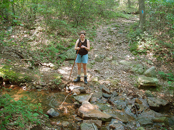
The only viable water source I found was the "small run" that you cross on the blue trail, so make sure to bring enough water to get you to that point. The instructions were misleading here! When you come to that intersection, the stream crossing is to your LEFT (where you can also see blue blazes - just keep following them).
The yellow blazed road starts out fine, then after a bit you reach a sign (misleading, it is not actually the start of the Cedar Creek trail), and it gets more and more overgrown with grass from there.
And then we come to the Cedar Creek trail... The portion between the clearing and the wildlife pond was a miserable slog, especially with the bugs this time of year, and that is why I rated this so low. It must have been a while since someone went through there - very overgrown, lots of thorny bushes, lots of spiderwebs, several large trees down, rocky. At one point you're walking up a mossy creek bed, so it is probably worse when it has recently rained. It's a shame because I really enjoyed the rest of the hike, but during that section I was just counting down the miles until I was back to the road. The one positive is that the trail is still clear enough to follow and there are enough blazes that I wasn't worried about losing my way.
Only saw birds, bugs, and a squirrel, although I heard coyotes in the morning and something small pattering around my tent at night. Since I was solo I talked to myself a lot which probably scared everything else off :)
By:jw
Rating:
Date of Hike: Sunday, July 15, 2012
I made a two day trip out of this to just have a quiet escape. I was the only human on the trail (that I saw) both days. I did see two bears, some deer, and lots of critters. I made sure not to startle the bears and they scampered off when they heard me. Camped at the White Mountain spots. They were clean and it was a nice view of Woodstock. It stormed really bad over night and that made the hike down the next day a bit rough. Blazes seemed accurate, but the final trail back to the parking area was a dry stream bed that had become a full stream after the storm and a bit over grown. I enjoyed the isolation and the view. Nothing great, but nothing awful either.
By:Sam
Rating:
Date of Hike: Wednesday, June 27, 2012
I took advantage of this nice day to do some conditioning for backpacking. For the most part this loop uses forest access roads. The first section (red blazed) was on fairly wide and well maintained roads, a lot of elevation is gained in this part. The next section (purple blazed) was a nice walk in the woods. The road was narrower and not as well maintained, but the tree cover made the walk very pleasant. Several wild turkeys crossed in front of me, they got upset and stormed away. These birds make a lot of noise! I only saw blazes at the beginning and end of the purple section, no blazes along the way. There are several intersecting roads, but keep to the "main drag" and you will stay on track. The section on the Tuscarora was a real trail, with some views but fairly obscured by the trees. Great views from White Rocks, I definitely recommend this side trip. Several vultures were perched on the rocks, and were not too happy to see me. These birds took off one by one, gliding out and down into the valley. The campsite on the white trail is large, and someone left a pretty decent folding lawn chair. That chair is better than what I have at home.....The last section (yellow blazed) starts out as a wide access road, kind of featureless, and then transitions into an old woods road. It's somewhat overgrown in places, but I had no trouble following the trail. Some parts of the yellow trail were wet and muddy. The map and trail notes were very helpful, I also used the GPS track which was nice to have for "confirming" those parts with minimal blazing. The entire loop gets regular equestrian usage as evidenced by the droppings and the churned-up dirt. I don't know how a horse makes it thru the rougher sections! All of the campsites were clean, no trash. There were no blow-downs, so this loop must receive some maintenance. Also saw a lot of large (3 feet high) ant hills, mostly at the end of the blue / bginning of the yellow section. This was a good conditioning hike, carried 36 pounds, took 7 hours including lunch.
By:The Tick
Rating:
Date of Hike: Saturday, September 11, 2010
I would give this hike a 0 rating if possible. The entire hike was on logging roads for the most part. I have done 50 or so hikes in NoVa and this is by far the least interesting. Nothing was memorable except the side trip to Big Schloss that was so overgrown I ended bushwacking through thorn bushes. When we finally reached Big Schloss it was covered with moss and we had to be the only visitors that way all year. Nothing was interesting. Go elsewhere. I see where other hikers gave this a much higher rating. I do not see how. It was easy which might raise ratings but shouldn't.
By:Nicholas Beach
Rating:
Date of Hike: Sunday, June 21, 2009
I did this hike as a two part hike. We hiked the orange and purple trail as well as a good portion of the blue trail starting around noon on the first day. I carried about 85lbs of stuff on my back the whole way and it was quite the enjoyable work out. we camped in an extremely nice area on the white blaze trail at the top on the north side of the mountain, and the view was spectacular. There was a nice camp fire ring and a clearing for tents. On the second day we hiked the remainder of the blue trail as well as the yellow. That was long and difficult but it was navigable. The night we did stay at the top was a wet one, it had stormed all night so the following day you can bet that there was alot of mud and creek bed on the yellow blaze trail. The only discrepancy that i could find with the hike was that the yellow blaze trail became extremely narrow and cluttered along a center portion of the trail that was about 1.5 miles long. It was mostly creek bed with plenty of fallen trees and small rock slides. Also be cautioned that there are some incorrect blazes posted along alot of the paths so be sure to keep a compass and topographical map with you! Be cautioned that there were some motocross people there quite a while back who left streamers and special markings along the trails so that the 'riders' knew where to go. These are incorrect at some points and if you do follow them, they will lead you away from the trail and miles away from where you are supposed to be. Just pay attention to your blazes (not the signs or streamers) your topographical map and compass and you will be just fine. Overall this was a great hike and it could not have gone better. You may contact me at wtfcanada@gmail.com
By:Bill D.
Rating:
Date of Hike: Sunday, November 9, 2008
Not much of an adventure. Most of the hike is along an unimproved road. The camp site at White Rocks had a fire ring and plenty of cleared flats. The view from White Rocks was great. Don't try to drive up the Orange Blazed Road if your car isn't 4x4. I'm not really familiar with much of the hiking in the area but there has got to be better.
By:Mark Rankin
Rating:
Date of Hike: Tuesday, August 5, 2008
This very nice woodlands hike affords a challenging route to complete as a day hike. The view of Massanutten mountain and the Shenandoah National Park from the White Rocks overlook are well worth the ascent. We hiked in a counter-clockwise direction, and it seems like this is better than ascending the rocky Bread Road Trail to start. This hike incorporates nearly every imaginable terrain type. Some good views can be glimpsed of WV to the west from the Little Sluice Ridge. A significant portion of this hike follows forest roads and other abandoned roadways, so this may not be the hike to take for one who prefers a route confined to narrow paths. We did not encounter another soul during the 6 3/4 hours that we dedicated to completing this loop.


