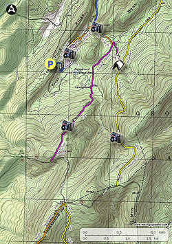
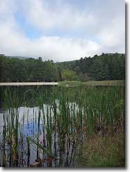
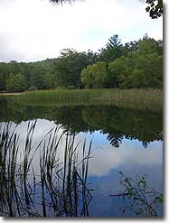
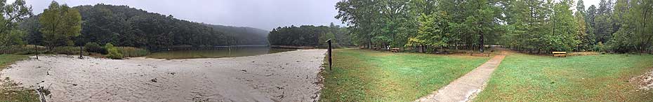
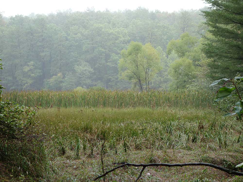
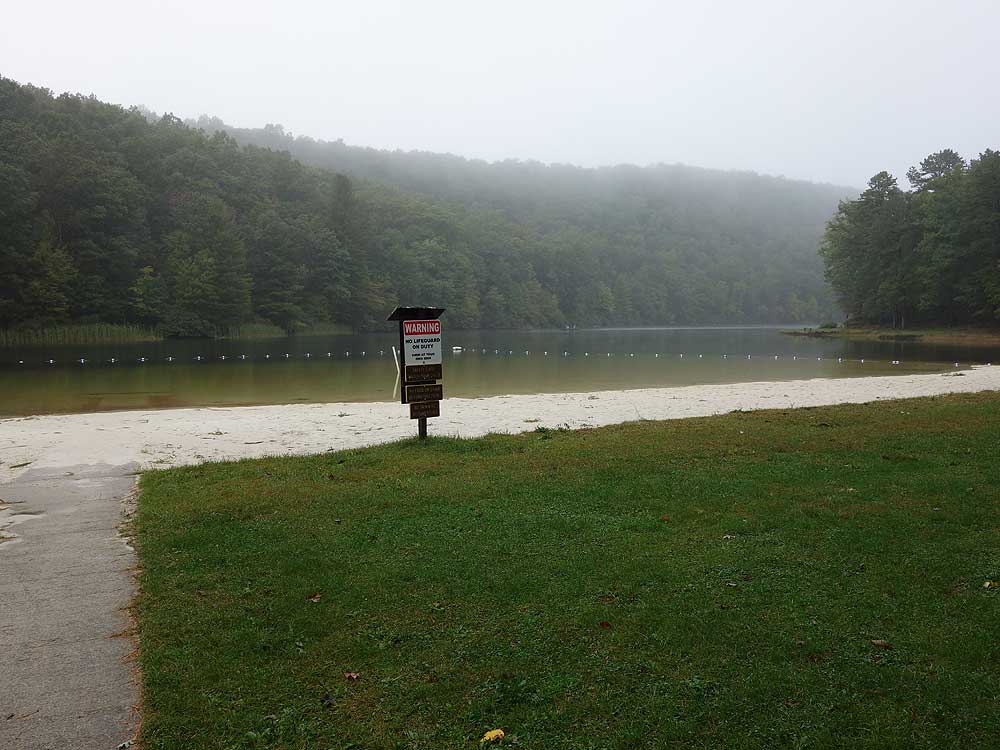
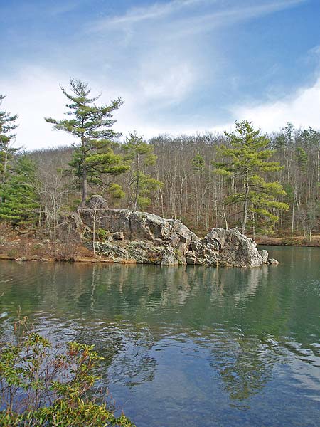
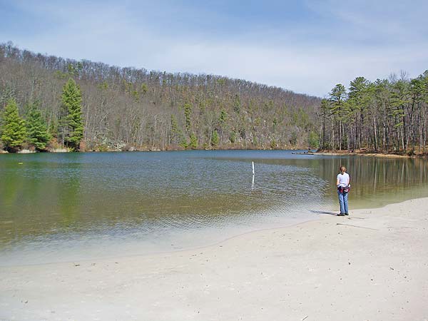
Trout Pond is one of the most active geological areas in the GWNF. Limestone eroded by ground water can cause sinkholes to enlarge or form very quickly here. The region is a honeycomb of limestone caves and voids, and Trout Pond itself is an extremely large sinkhole fed by a stream. The recreation area is also one of the most scenic in the Mid-Atlantic. Located in a valley with Rockcliff Lake, a man-made beach, large campground, and many interconnecting hiking trails.
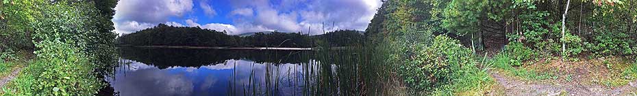
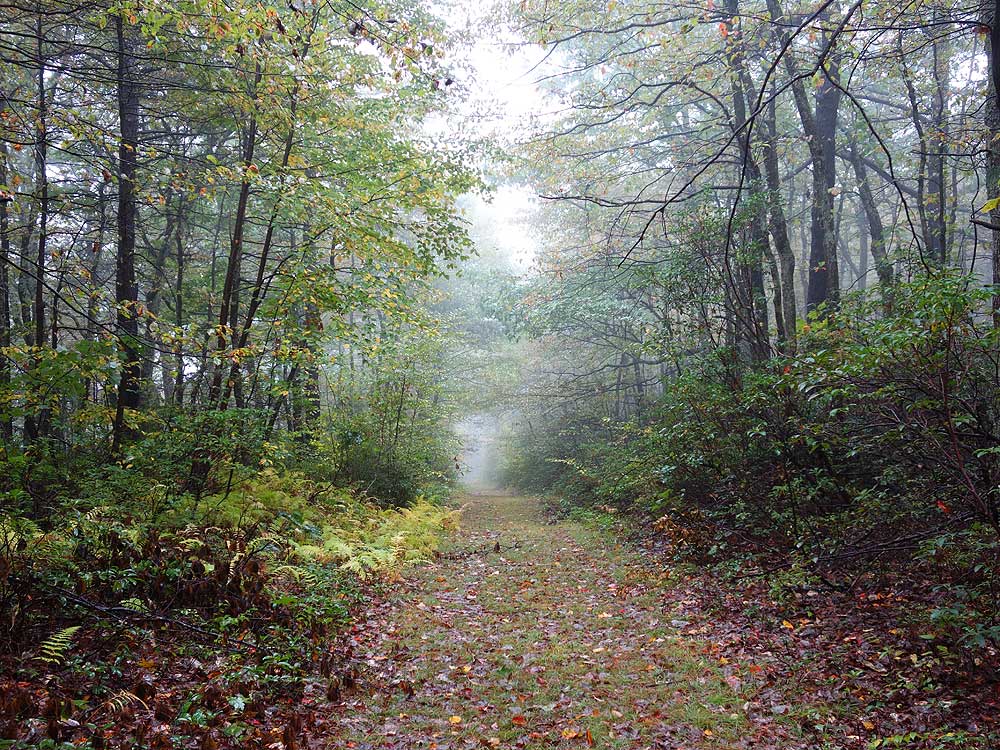
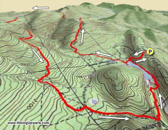
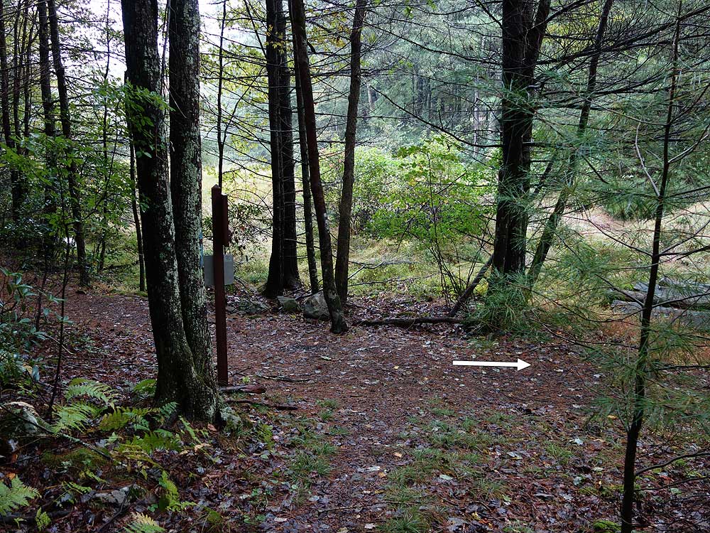
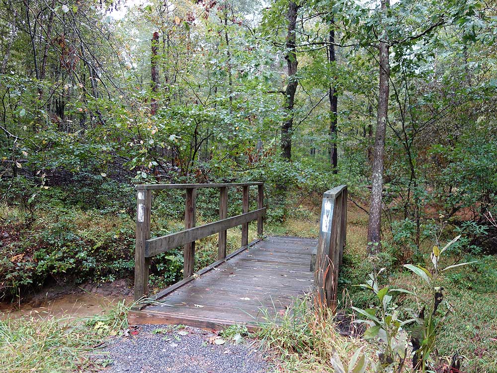
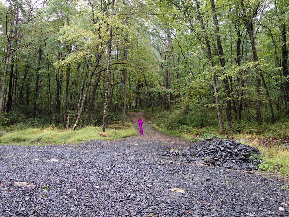
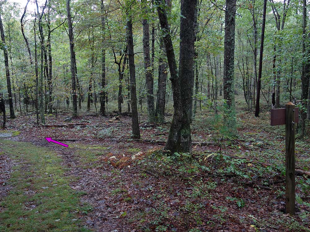
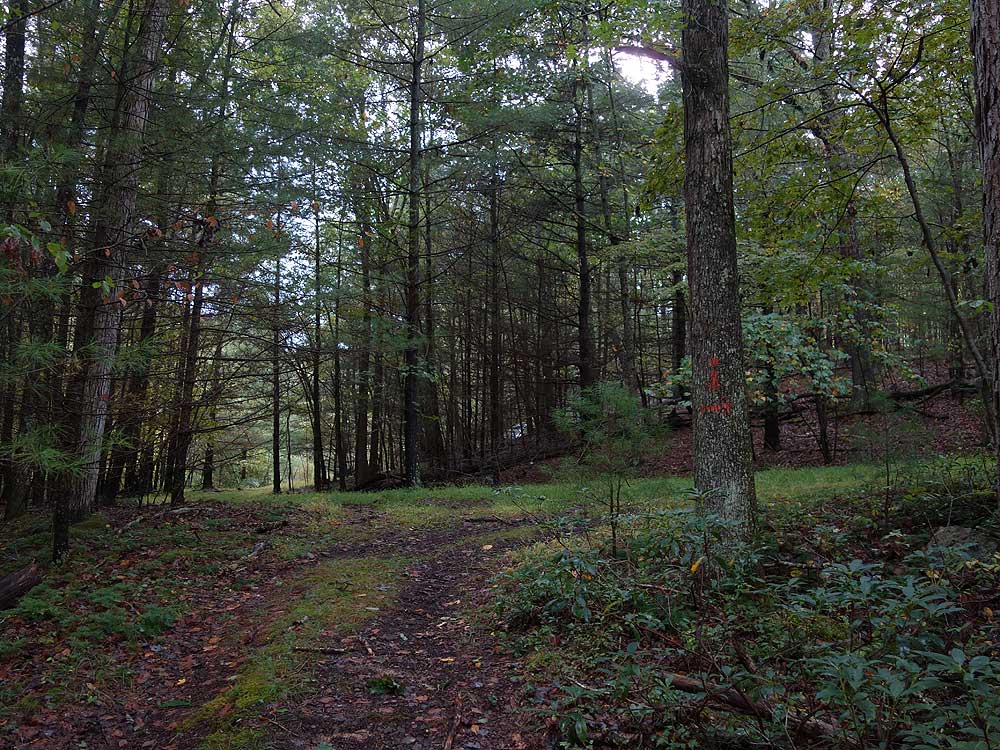
Mile 0.0 - From the horse trailer parking area on Trout Pond Ridge the blue blazed connector trail starts at the far end. Follow the trail down through a wooded section for 0.5 miles where it ends at the while blazed Doris Agnew Lake Trail and Rockcliff Lake.
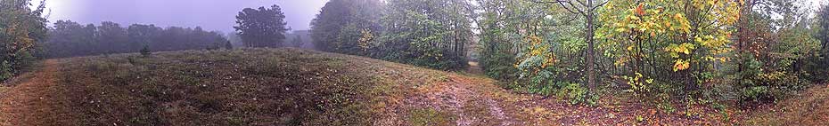
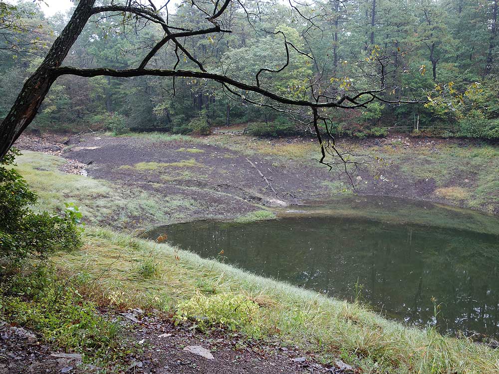
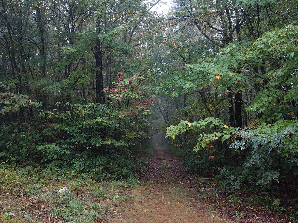
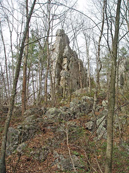
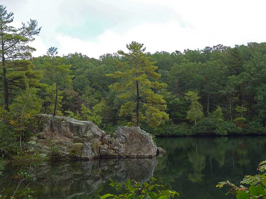
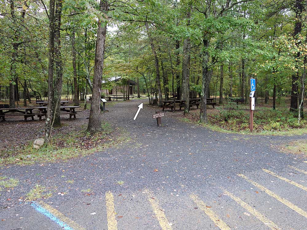
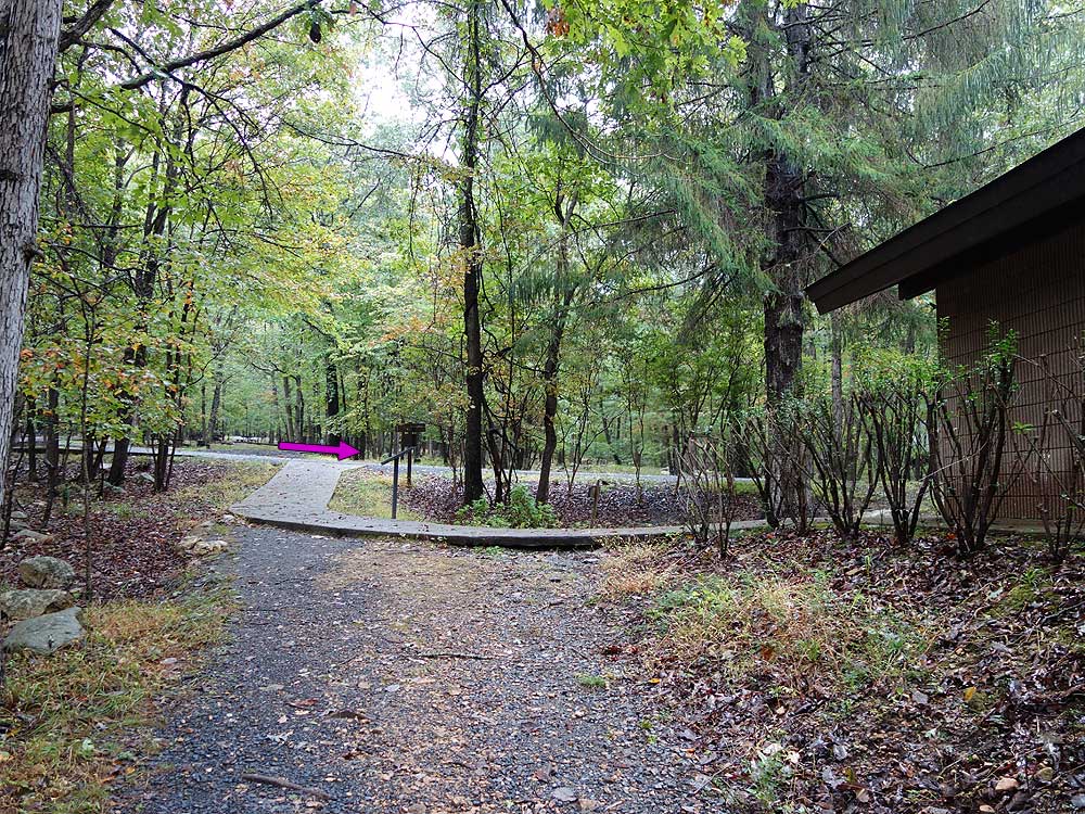
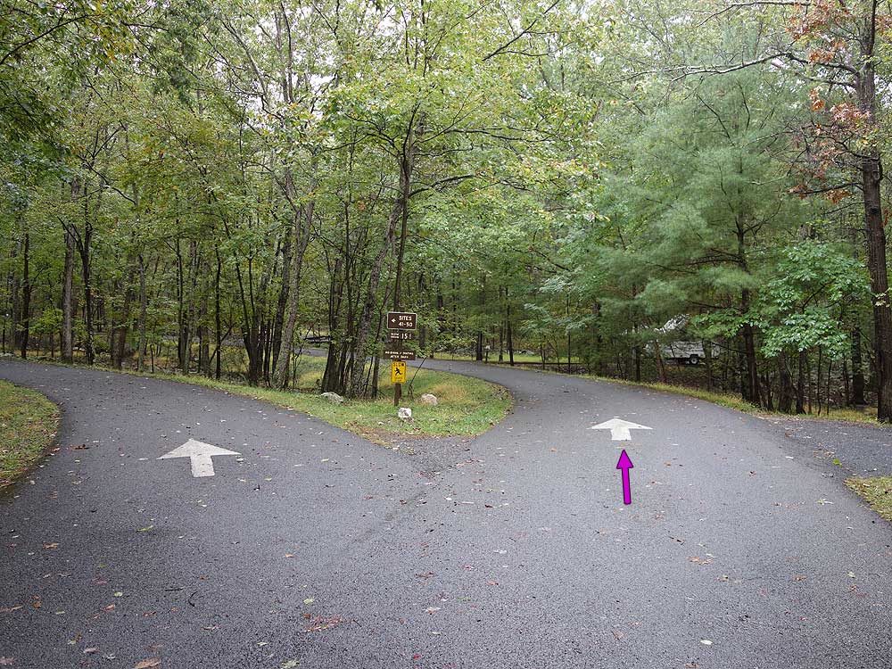
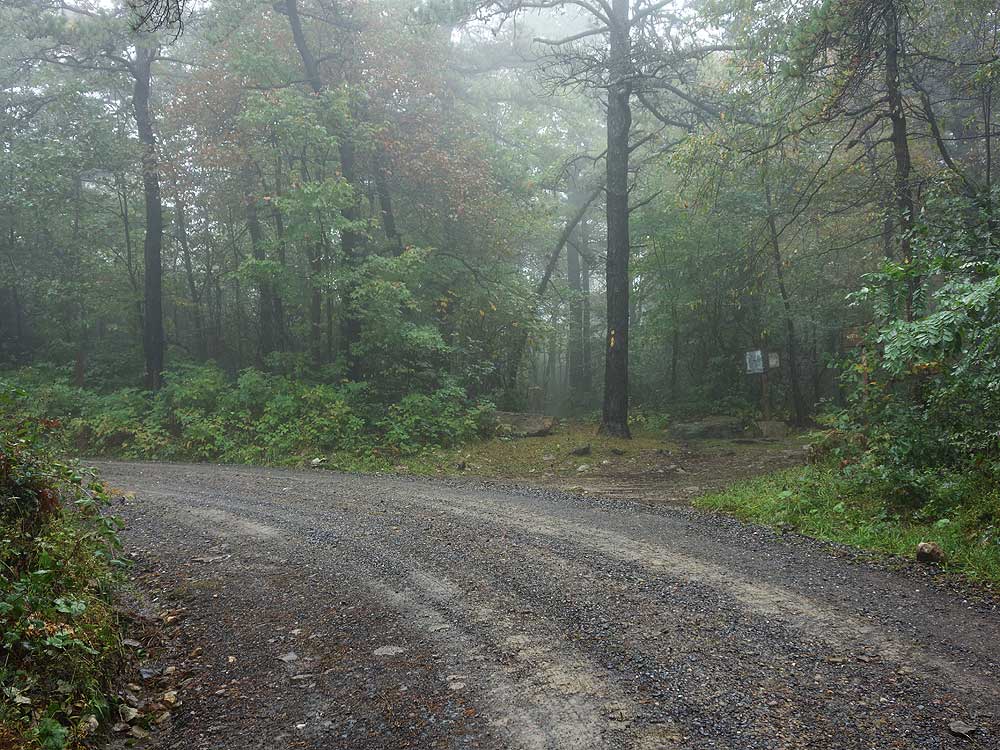
Mile 0.9 - Trout Pond is the largest sinkhole in the campground. The pond is only partially filled even during heavy rains, and generally empty in the summer when water drains into the caverns below. Turn right at Trout Pond and cross a park road. The trail will then arrive at the next park road and rest rooms in 60 yards. Turn right onto the park road and soon the road will split. Stay right and arrive at the Junior Poe trailhead at campsite #27.
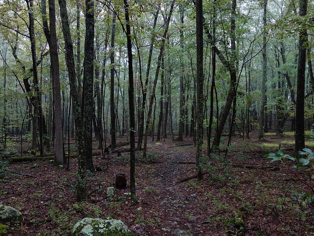
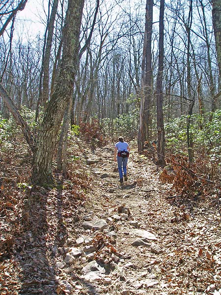
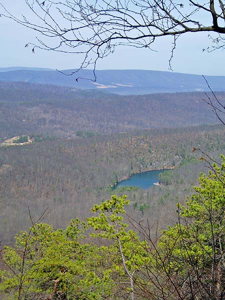
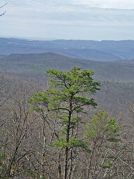
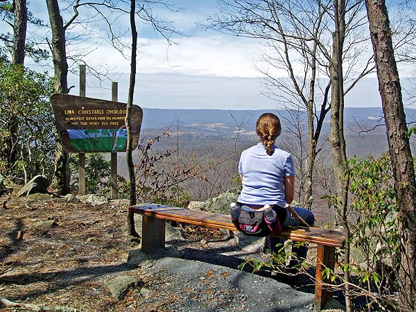
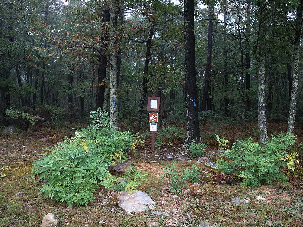
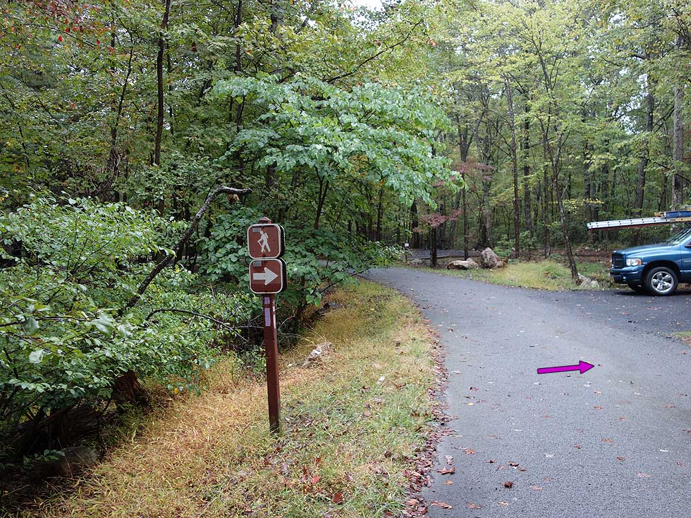
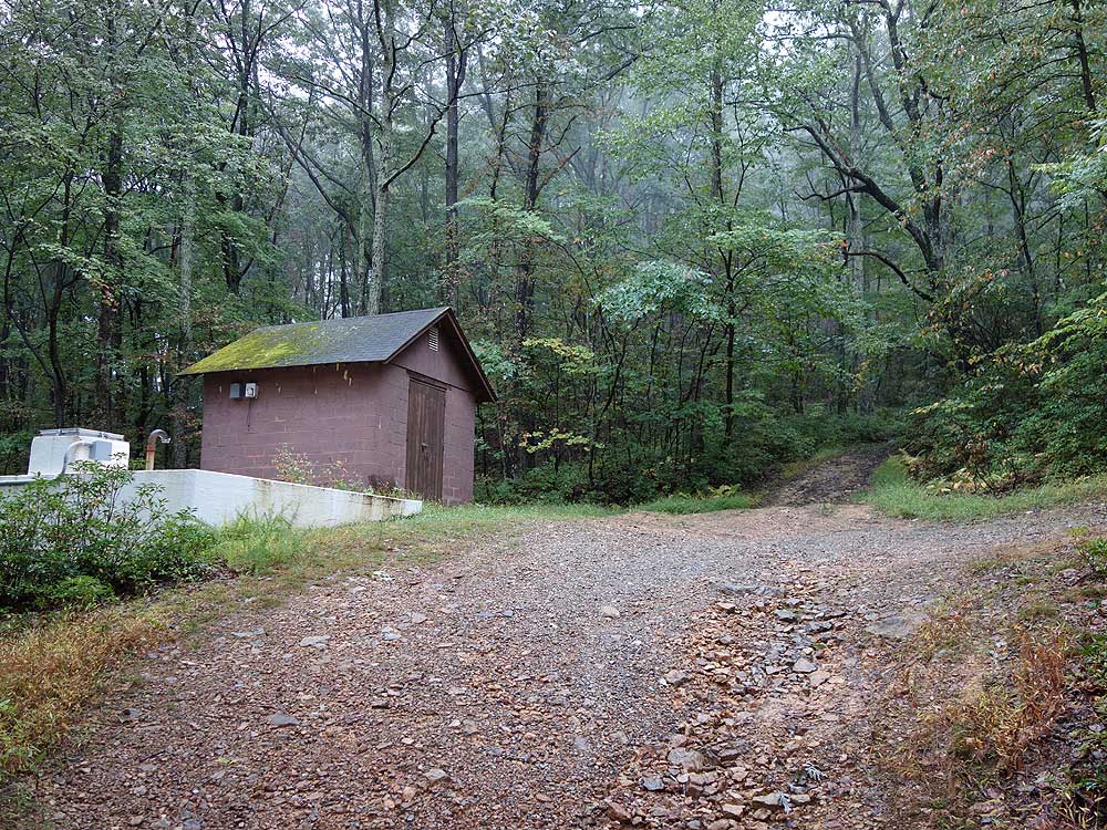
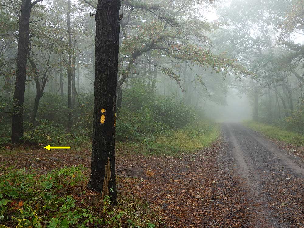
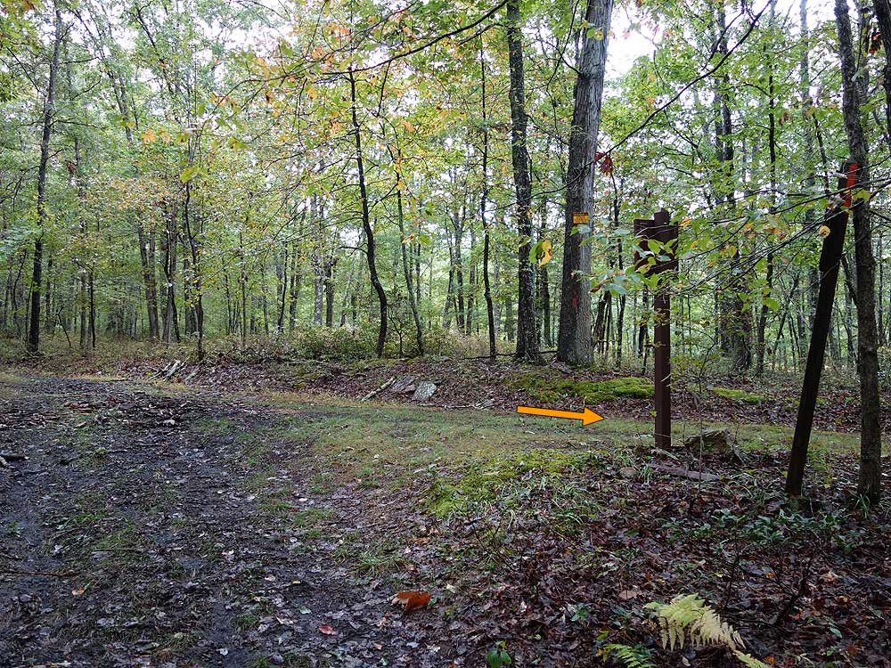
Mile 1.3 - Turn right uphill onto the purple blazed Junior Poe Trail. l. The Junior Poe Trail is a coarse gravel road for the first 0.1 miles. Stay straight uphill as the gravel road turns left. The trail becomes steeper and soon passes a small pump shed. Continue up the rutted trail and arrive at the Lina Constable Overlook in 0.2 miles.
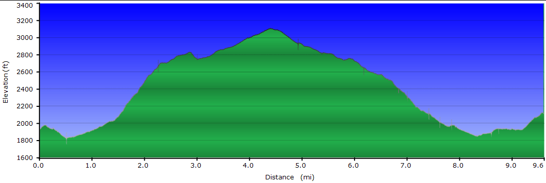
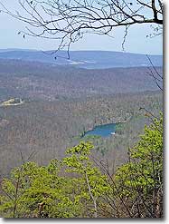
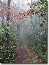
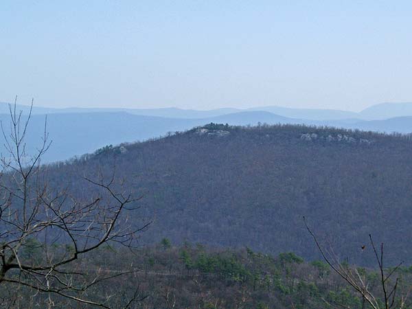
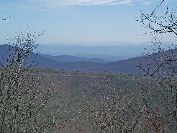
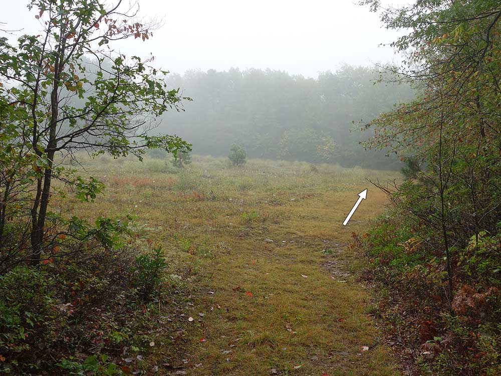
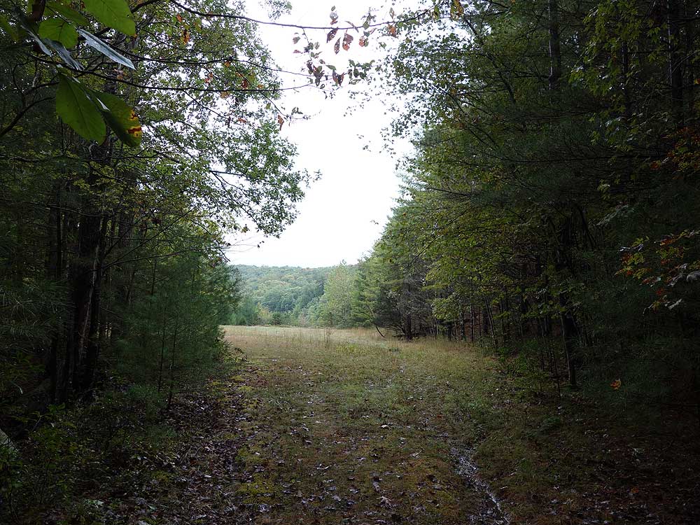
Mile 4.8 - Turn left onto the yellow blazed Long Mountain Trail where it re-enters West Virginia and descends back towards the Trout Pond area. The trail is initially wide then in 0.6 miles turns left where a side trail leads to a clearing. At this point the trail narrows and has thick Mountain Laurel on either side. As you descend look for views of the valley and Trout Pond through the trees. The Long Mountain trail will makes several turns on its way to its low point and intersection with the purple blazed Trout Pond Trail.
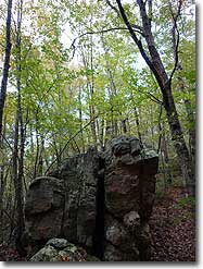
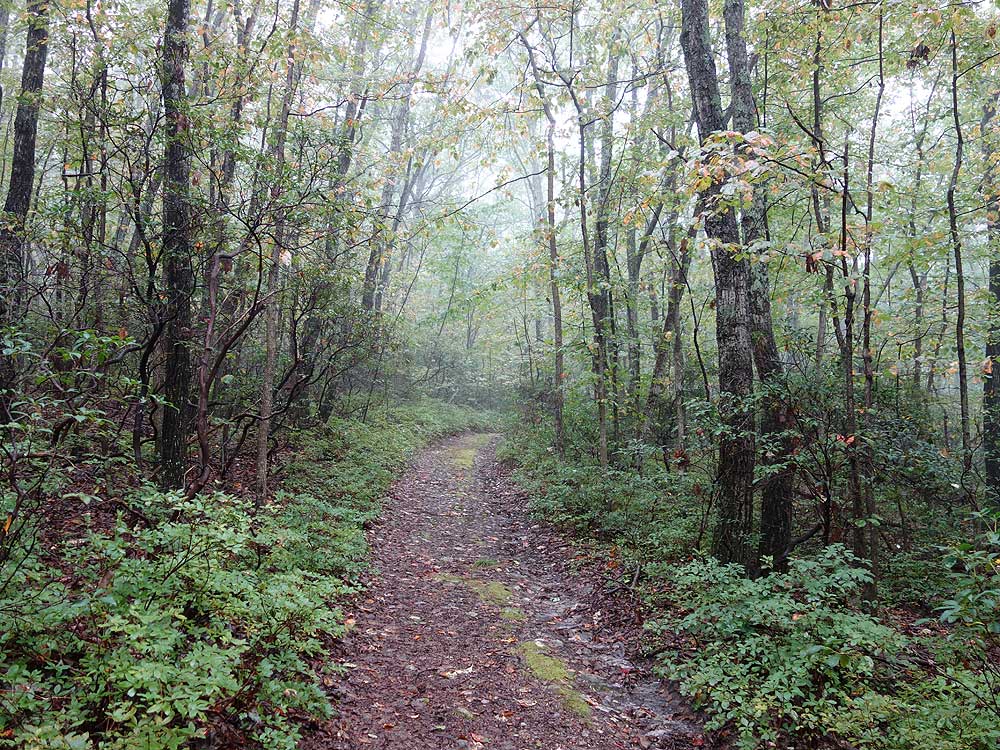
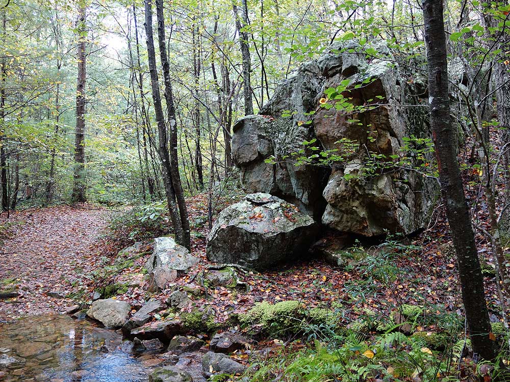
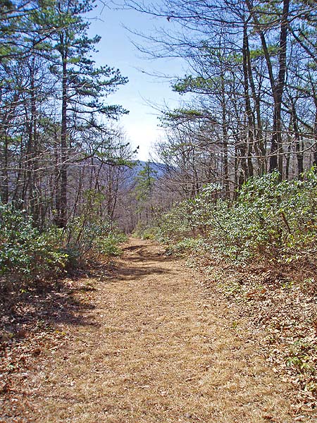
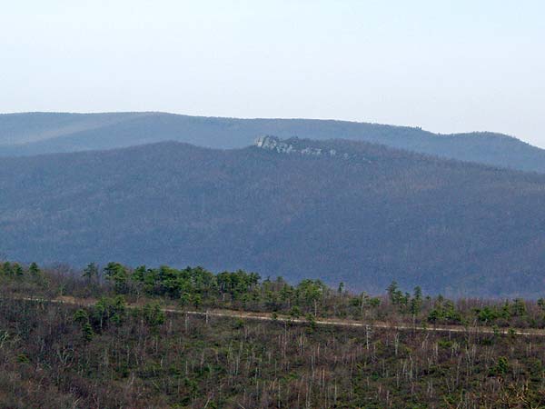
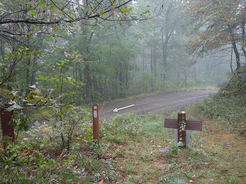
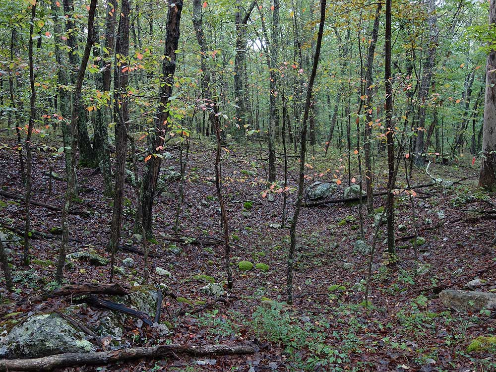
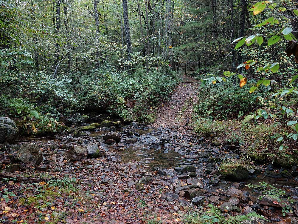
Mile 7.2 - Turn left onto the purple Trout Pond Trail and pass a campsite on the left. This section of the hike has many sink holes, and shortly pass the first of four large sinkholes. DO NOT enter the sinkholes as the roofs of the caverns below can easily cave in, and voids are hidden by fallen leaves. Be very cautious not to venture off the trail. After passing the fourth sinkhole reach the intersection with the Outlaw Path. Stay straight and the trail will make a sharp turn to the left and join a wider service road and intersection of the Chimney Rock Trail.
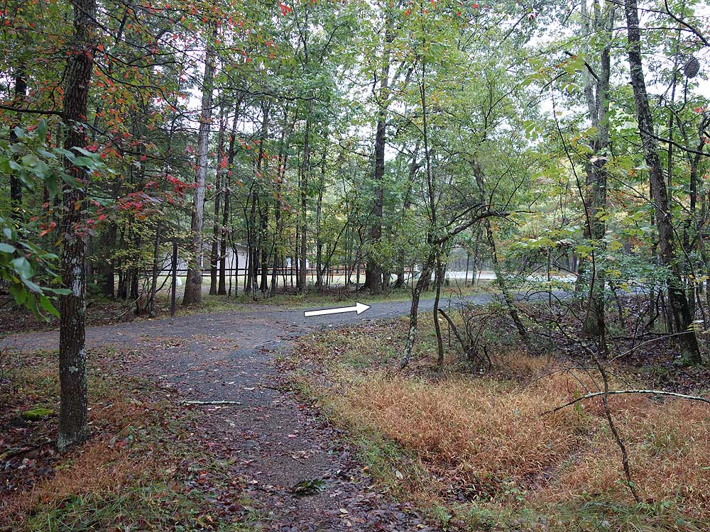
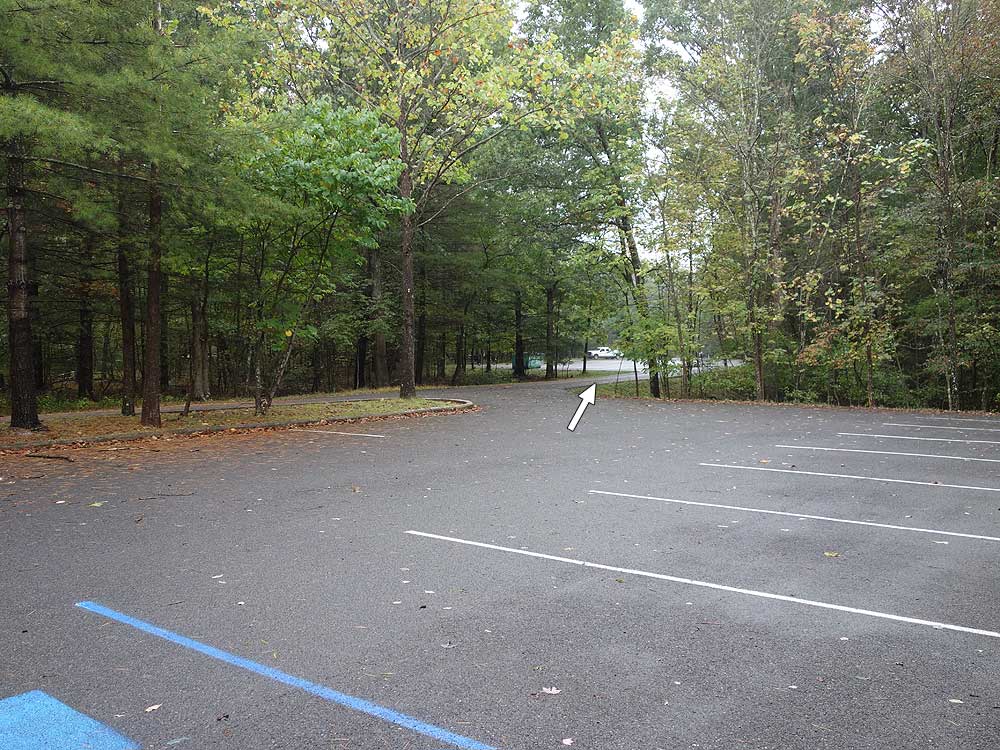
Mile 8.9 - Turn right uphill on the blue blazed trail for 0.5 miles back to the parking area.
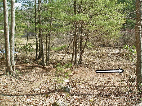
Mile 9.4 - Arrive back at the parking area on Trout Pond Ridge.
Late September
Mid March
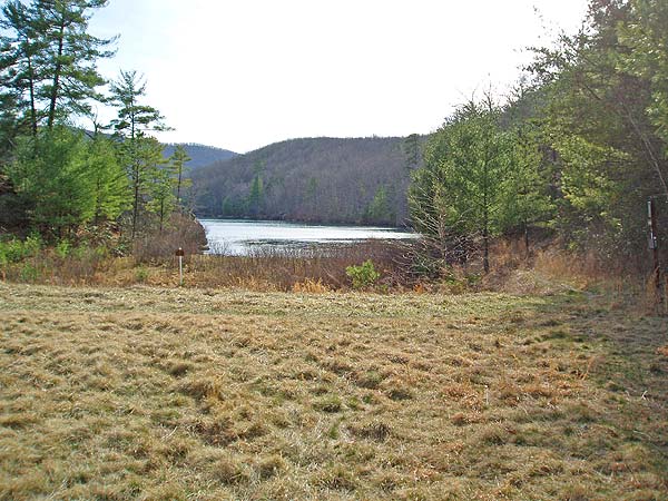
Rockcliff Lake
Trout Pond Hike Comments
Archived Comments
By:Ratman
Rating:
Date of Hike: Saturday, May 27, 2017
My son (12) and I camped at the Trout Pond Campground and made a weekend out of it. We did this hike in 5 hours, which included lunch and several stops to just to enjoy ourselves. Other than the initial climb to the overlook, I would call this a moderate hike, this time of year there are few viewpoints. We enjoyed the hike and had a great time at the lake. There are definitely several great places to camp on this loop and a few side trails to explore.
By:Giker (Girl Hiker)
Rating:
Date of Hike: Saturday, October 29, 2016
Lovely hike! Difficulty level is 2 out of 5! This is such a beautiful hike especially now as the leaves are changing color and falling and today was such a perfect day with it being exceptionally warm, in the 70s. I started my hike at 10 am and was at the lake within 7-10 minutes. I spent a good 10-15 minutes there and then somehow misread the directions (I went up to the boat trailer parking area), and spent the next 40 minutes wandering around the lake and parking lots, trying to find the campsite and the purple trail. If you saw a day hiker wandering around with a piece of paper in her hand looking lost and confused, it was probably me :( Finally I had to ask one of the older gentlemen for directions, as he pulled his boat out of the lake. I resumed my hike at 11 am (what a shame!).
I really enjoy going uphill more than descending downhill so I didnt mind the initial steep climb- for me it wasn't bad at all (I've done much worse with ease). The overlook is really spectacular especially with the fall colors prominent across the different mountains. The rest of the trail is extremely easy and really fun. I was hoping for more overlooks and views but the beautiful fall colors along the entire hike made up for it. I was back at the lake at 2:40 pm where I ate my lunch in peace enjoying the view and the weather. I saw quite a few people at the lake and also camping at the campgrounds. However I didn't see anybody else at the trail- umm, if you heard some loud melodious singing...it wasn't the nightingale, it was me :)
My gps logged 8.5 miles for me, and that includes my "wandering" distance.
By:Moonshine
Rating:
Date of Hike: Saturday, July 30, 2016
When on orange-blazed old woods road, right after 2 stream crossings, ignore bright orange marks on the trees. It is not a trail. The blazes probably indicate a no-hunting boundary. There were plenty of Chantrelle mushrooms growing on and near trails and ripe blackberries on the dam. I saw one rattler in a clearing and fresh bear scat.
By:Bex
Rating:
Date of Hike: Saturday, June 11, 2016
The first bit of the hike was very steep and even our dog was tired when we got to the overlook. We started the hike from the campground since we were staying the weekend The rest of the hike was good, but it was dry to on the ridge there wasnt much water. The walk along the road was fine and at least the intersections with the other hikes -- there are water stations for horses, so were were able to splash some water on our dog to cool down. When the road meets up with the orange blaze again, there is another water station. There is a camp site there and we encountered a rattle snake at the trail head. Just a note, horses also use the orange trail too so be careful when the trail narrows. As we got closer to the lake, the river was pretty and shaded. Most of the hike was shaded except for a bit on the road. Watch out for ticks and after the hike, go swimming in the very cool mountain lake! The camp ground is nice too and has the amenities - water, showers, bathrooms, with some sites have electric. The tent sites were good and relatively quiet except for the birds including owls.
By:Sarah
Rating:
Date of Hike: Monday, August 17, 2015
Has anyone noticed whether there are campsites on this loop other than the campground? Thanks.
By:kellygirl
Rating:
Date of Hike: Saturday, June 22, 2013
First off I didn't try this hike as described on hiking upward. I went to this area just to check it out. I pulled my back so I didn't want to hike anything streneous. This is a nice area to camp and swim, but the hiking is not so hot. The one mile loop around Radcliff Lake was nice and would be good for a beginner. My friend and I wanted to follow the map to hike more trails (I used the map from park). The trails were not marked well and it would be easy for someone to get lost if they didn't have a decent map. I am an experienced hiker but I would feel safer with a PATC map. Reminder that the bugs are bad this time of year and bug spray is a must. The beach is very clean with nice sand. I would camp here...but then I would go to other hikes around the area..such as Halfmoon!
By:fugo
Rating:
Date of Hike: Saturday, June 22, 2013
Hiked the loop in reverse (clockwise) with my 12 yr old son. The descent from the Lina Constable Overlook on the way back seemed a bit steeper than the climbs on the way out so you might choose the reverse direction for a less strenuous climb. We had to bushwhack a bit to find the orange-blazed Chimney Rock trail from the white trail when leaving the lake, but didn't really have any problems navigating after that (though we did have a GPS). Some views were obscured by foliage but there were still some to be had. We particularly liked the Long Mountain Trail, and actually didn't mind the road part of the hike - there's a nice view there. The trail was completely empty. I'm sure this would be an even better hike in the fall.
By:wazoo
Rating:
Date of Hike: Saturday, August 20, 2011
A good, but not great hike. This time of year the views from much of the ridgeline were obscured by foliage, and when accessible were nice enough but did not strike me as exceptional. The steep sections of the trail did provide a good workout. A bit tedious meandering through the campground and lakeside parking areas, and the extended sections on paved road were not what I expect when hiking in a national forest. The directions provided were literally accurate but not always totally clear --- the pics linked to the description were useful, and I was glad I had printed some of these. It is possible to shorten the hike by more than a mile by starting from the lake foreshore, rather than the parking lot proposed here there seemed to be plenty of parking by the lake, and the extra 1.2 miles were not interesting enough to merit the extra time and effort.
By:Jayne Hiking Addict
Rating:
Date of Hike: Sunday, July 24, 2011
http://www.meetup.com/hiking-162/events/25061901/ Here I am again this time with a meet up group. We hiked clockwise starting at the beach parking (3rd lot) inside the park aound the Lake, onto Chimney Rock Trail, Trout Pond Trail and then Long Mountain Trail. When we reached the Forest Road we turned around retracing our steps. Figure that was just under 8 miles. We picnicked at the 2nd parking lot then took a dip in the lake before heading home. Perfect hot weather hike.
By:Jayne HIking Addict
Rating:
Date of Hike: Wednesday, July 13, 2011
This is a beautiful summer hike with a delightful swim at the end. Long Mountain in particular is a wonderful trail. Yesterday 16 PATC Wednesday hikers http://www.patc.net/PublicView/Custom/calendar.aspx?id=2643#info started @ the beach following the loup outlined in Hiking Upward . To get there go thru the Entrance Gate (small entry charge) & immediately turn left. Pass one parking lot on left and one on right (picnic tables here for lunch afterwards) before arriving at the beach parking lot. My guess is we hiked 7.6 miles.
We were able to loose 4 hikers on one of our turns even tho most everyone had a map and we put down arrows at every turn. Of course those who went out looking made the wrong assumptions as is usually the case. Lost hikers arrived 2 hours behind the others and were fine which is always the goal. Starting & ending at the beach was definitely the way to do it. There are picnic tables at the 2nd parking area and the beach is at the 3rd parking area. Swimming after the hike in July can't be beat.
I'll be leading this hike again in a few weeks http://www.meetup.com/hiking-162/events/25061901/. and I plan to do an out & back so we can skip the Forest Roads 59 & 691. I see 2 options starting clockwise at the beach to the Chimney Rock (orange trail). At the Trail Pond (purple trail) I may take a right and make it and out & back from there. Or more likely I'll take a left on Trail Pond and a right on Long Mountain (yellow) taking it out & back.


