|
| Length |
Difficulty |
Streams |
Views |
Solitude |
Camping |
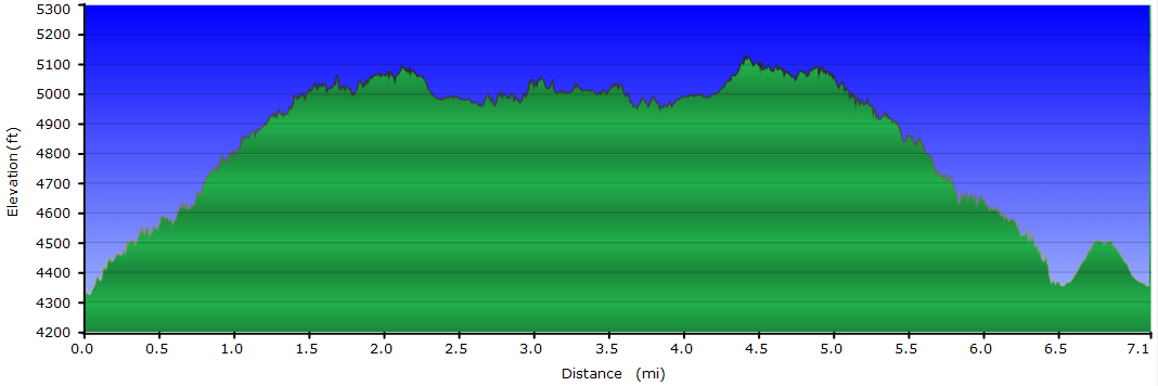
| 7.2 mls |
 |
N/A |
 |
 |
|
Hiking
Time:
Elev. Gain:
Links:
Resources: |
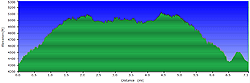
4 hours with 30 minutes of breaks
1,095 ft
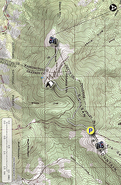
 Jefferson National Forest Jefferson National Forest
Topo Hike Trails Map (PDF)
Konnarock, VA Weather Forecast
Garmin (GDB), Gaia/Trails App (GPX) (What's
this?)
3D
View of Route |
 By Trail Contributors: Christine and Adam Anderson By Trail Contributors: Christine and Adam Anderson
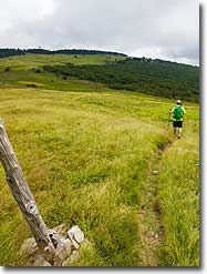
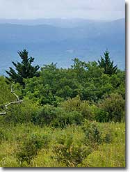
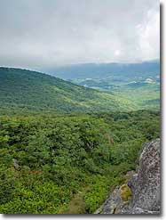
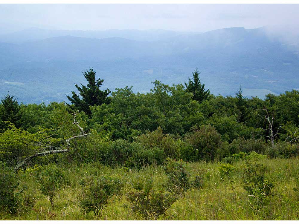
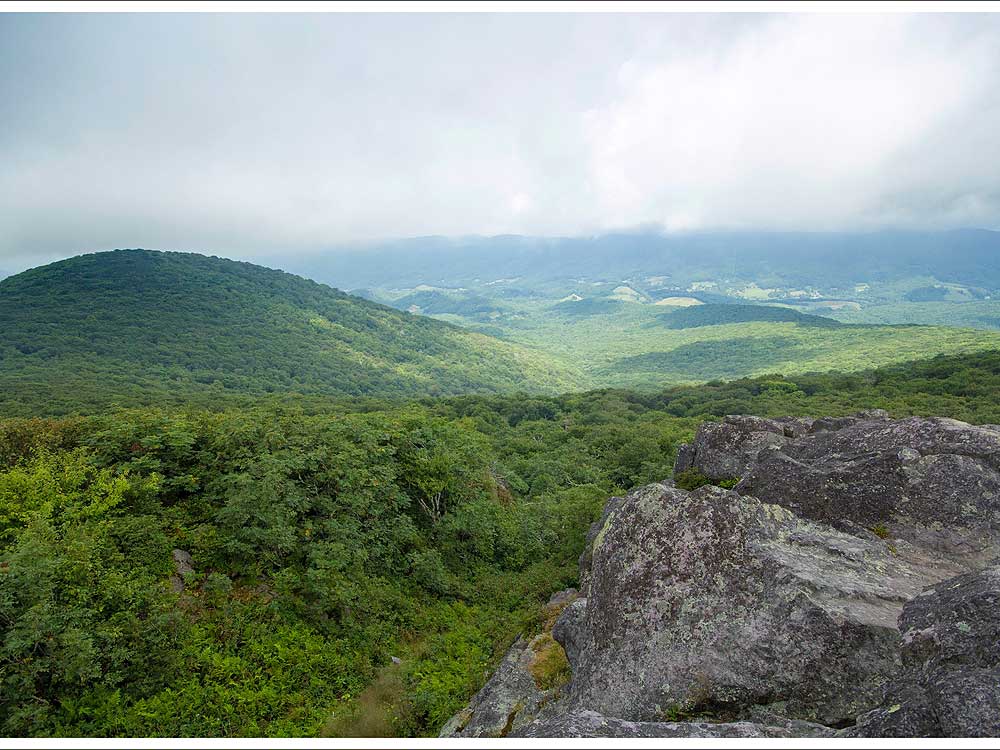
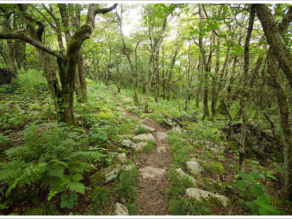
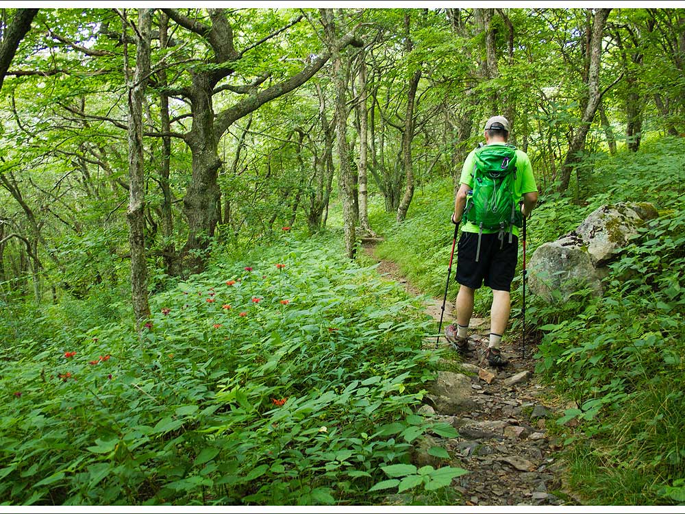
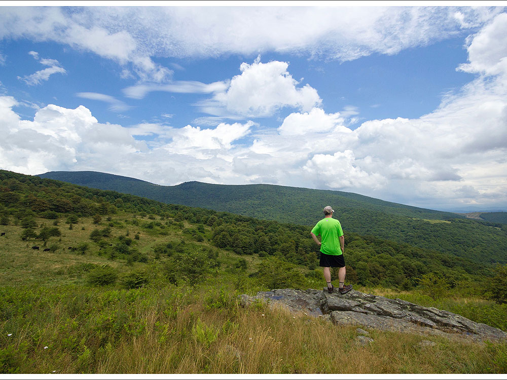
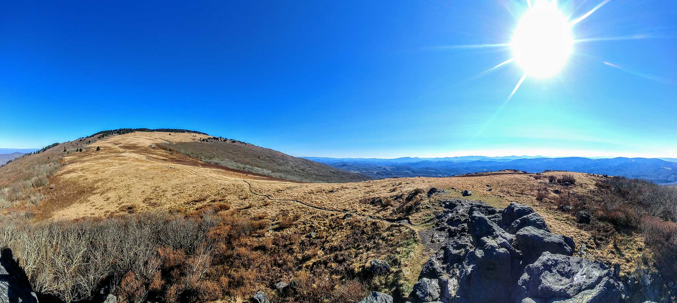
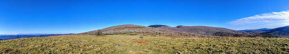
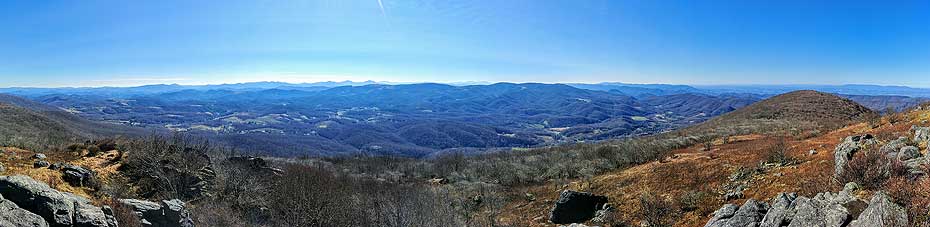
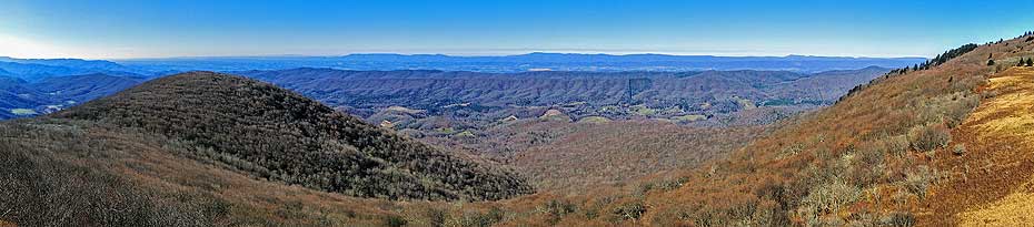
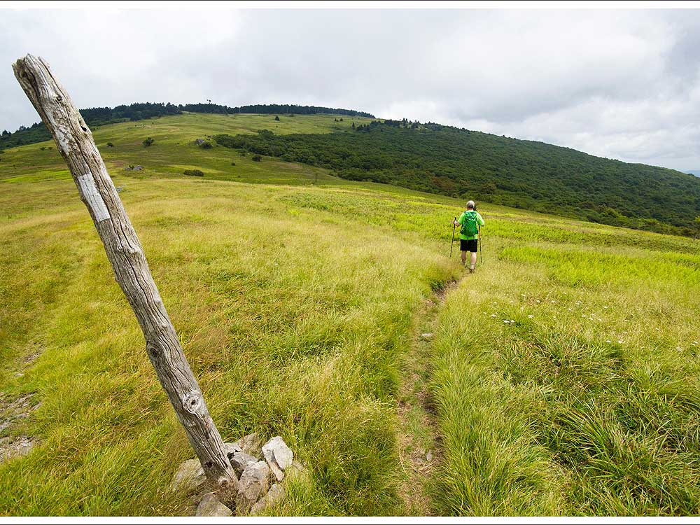
This section of the Appalachian Trail gives you some of the best views of the highest peaks in Virginia. From Buzzard Rock you can see Mt. Rogers and nearby Whitetop Mountain. The trail is a moderate steady climb through woods and high meadows. Enjoy it on a clear day, but expect some cooler temperatures at this high elevation.
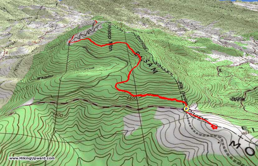
Start this hike from the Elk Garden parking lot. The main hike to and from Buzzard Rock is 6.6 miles. Since it was so close, when we got back to the car, we added another .6 miles to go the opposite way on the Appalachian Trail from the parking lot to enjoy the views from the summit of Elk Garden.
For more detailed information, go to Virginia Trail Guide’s site
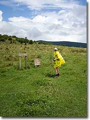
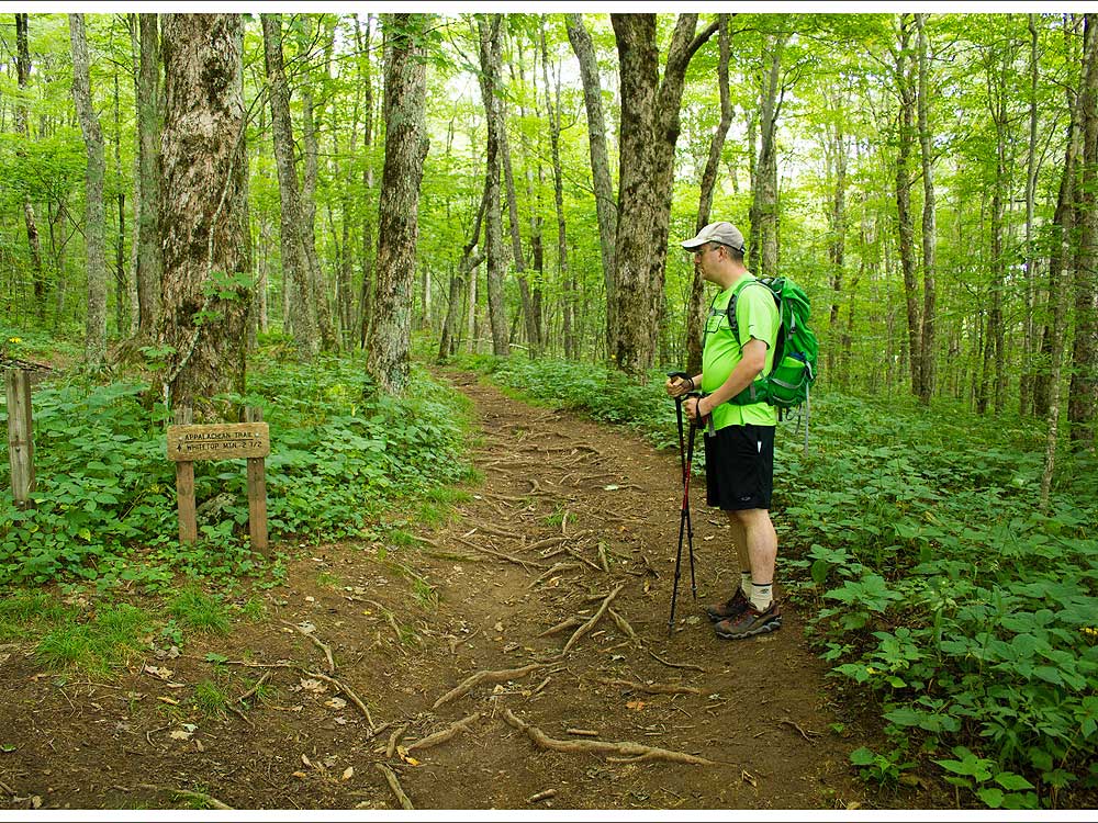
- Mile 0.0 – From the back of the parking lot, head directly into the woods heading south on the white-blazed Appalachian Trail
- Mile 1.7 – Pass over a small trickle of a stream that crosses over the trail.
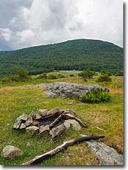
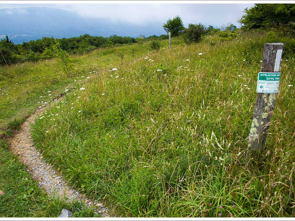
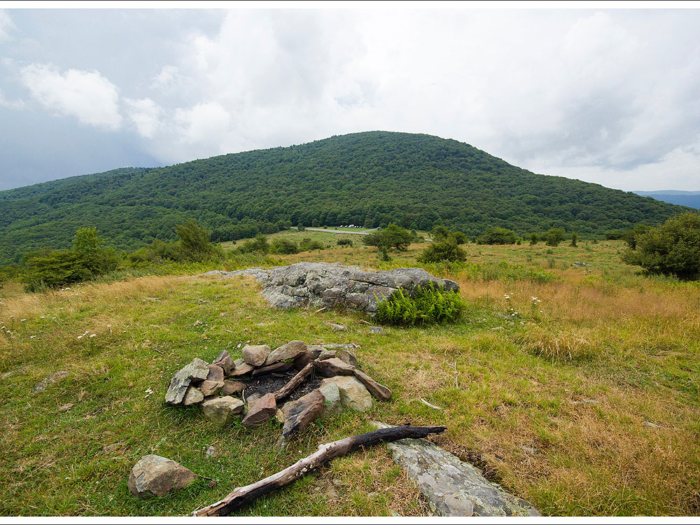
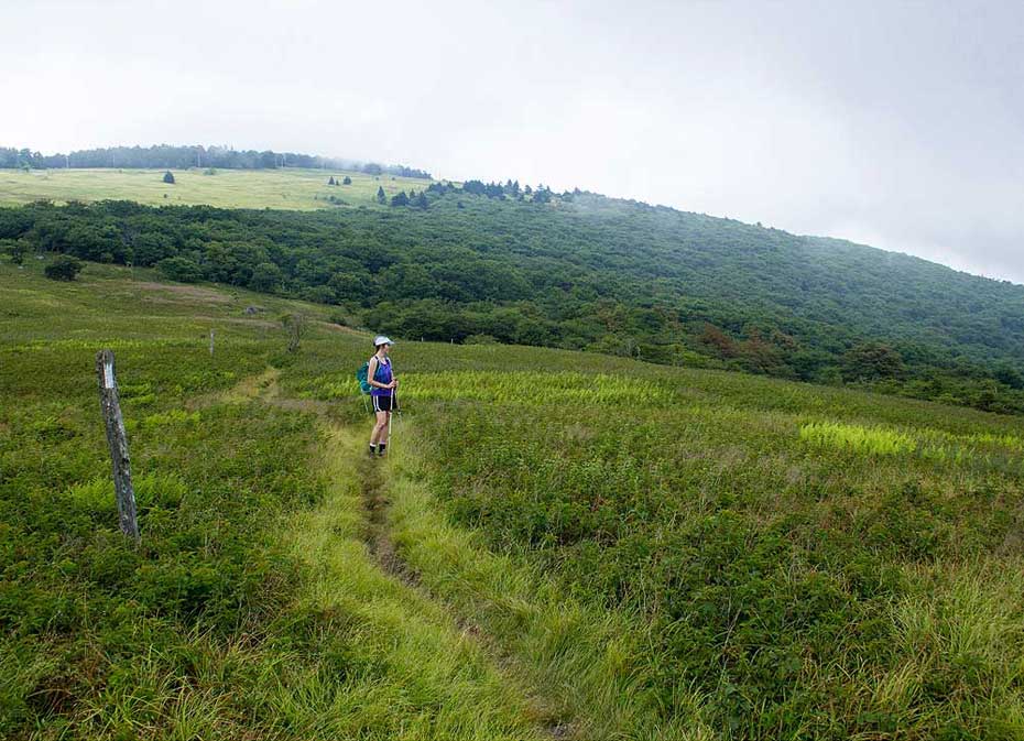
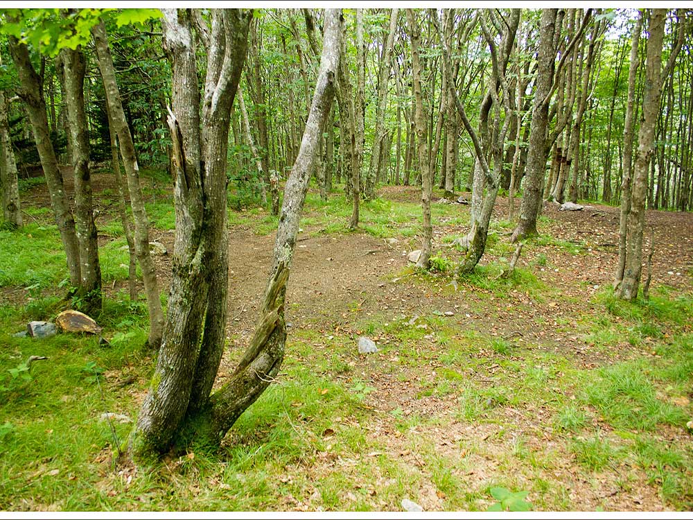
- Mile 2.4 – Pass by several campsites on the left of the trail before crossing over Whitetop Road. After crossing the road, you walk into an open meadow. On a clear day, you will have some nice views of miles of farmlands and mountains.
- Mile 2.5 – A spring is marked on the left side of the trail and is a reliable water source. Shortly after the spring, the trail dips down into the woods and starts to ascend again.
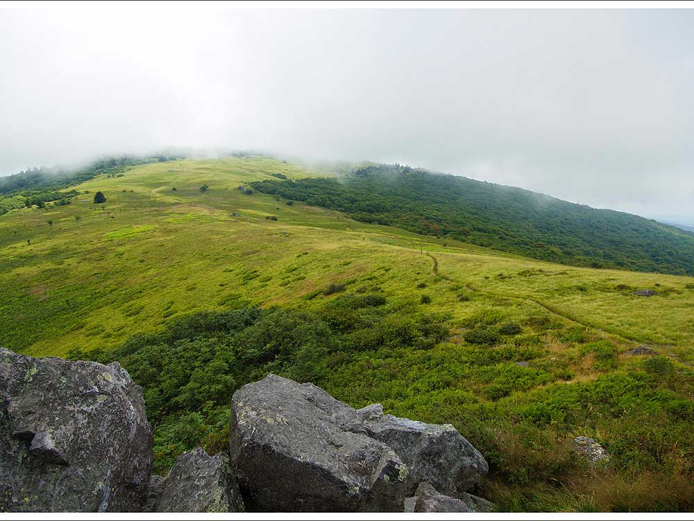
- Mile 3.2 – The trail emerges out of the woods into a large open bald [BR7] on the top of the mountain. Expansive views are all around.
|


