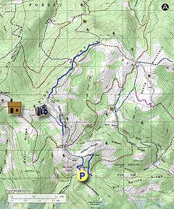
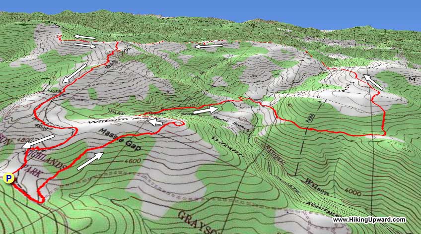
Consistently mentioned as one of the top sections along the Appalachian Trail and arguably boasting the finest views in the Southeast, the Appalachian Trail through the Mount Rogers National Recreation Area should be on everyone’s must-do list. This loop samples the best parts of this region in one fantastic day hike. The prime starting location for entering these mountains is Grayson Highlands State Park, but this hike will avoid most of the crowds while delivering the same views.
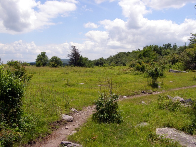
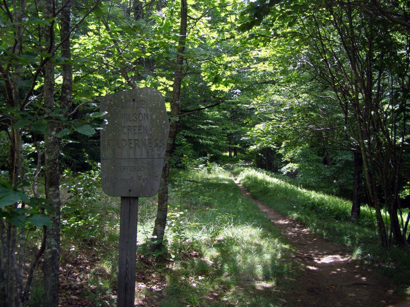
From the Massie Gap parking area you will climb up to the Appalachian Trail heading north away from the pony-watching congregation area. After diving through the Wilson Creek basin, the AT climbs through the Little Wilson Creek Wilderness and the flanks of Stone Mountain with top-notch views for miles on open ridges. From the Scales compound the AT crosses through conifer forest before you leave the AT to make your way to Rhododendron Gap.
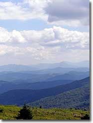
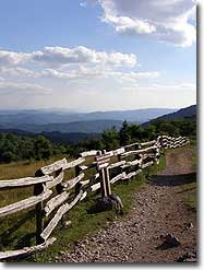
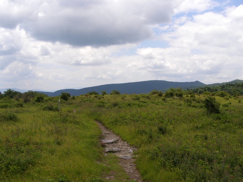
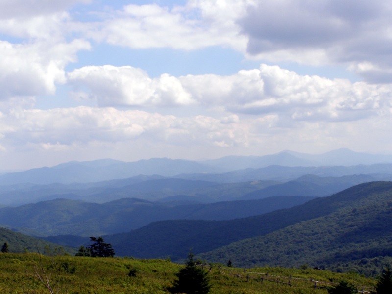
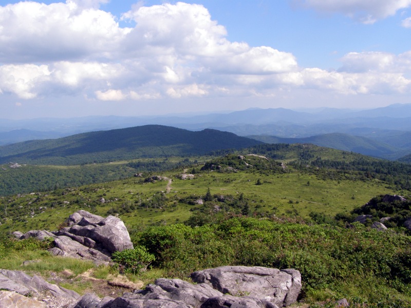
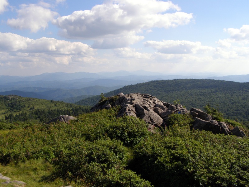
The Pine Mountain Trail connects to the AT where you have the option of an out-and-back to Mount Rogers or a shorter return to the parking lot. Either way, the sections near Rhododendron Gap offer more top of the world views in all directions. The AT straddles open ridges above 5,000 feet and feels like a trail from another part of the country.
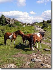
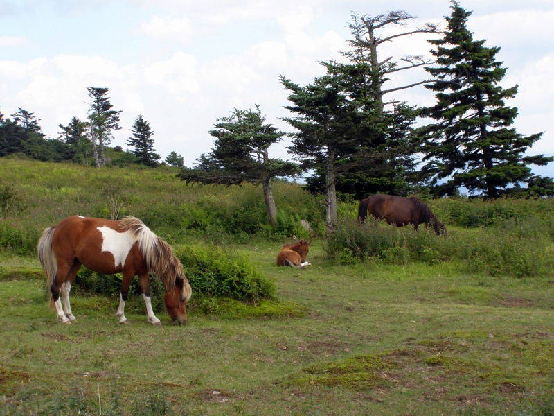
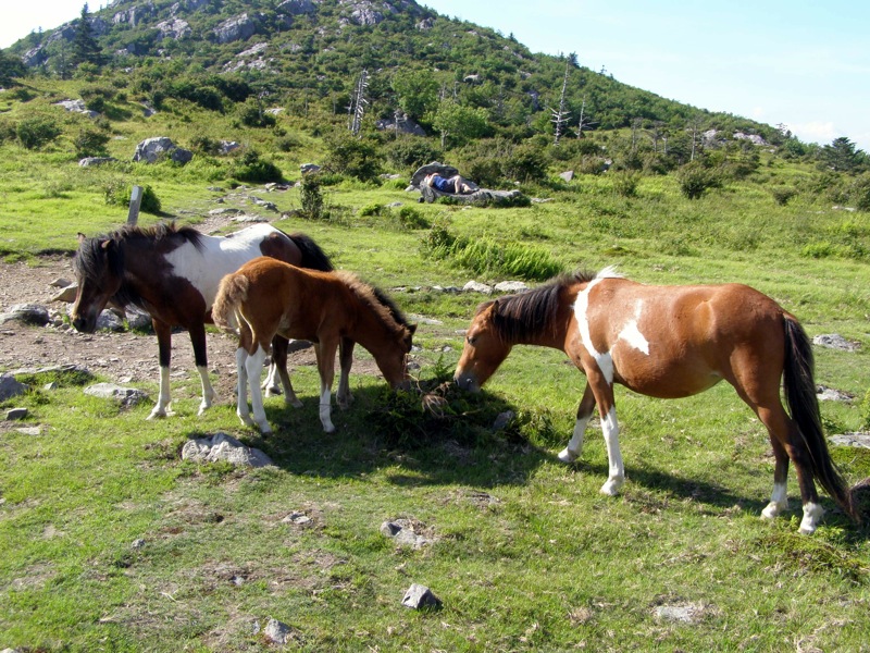
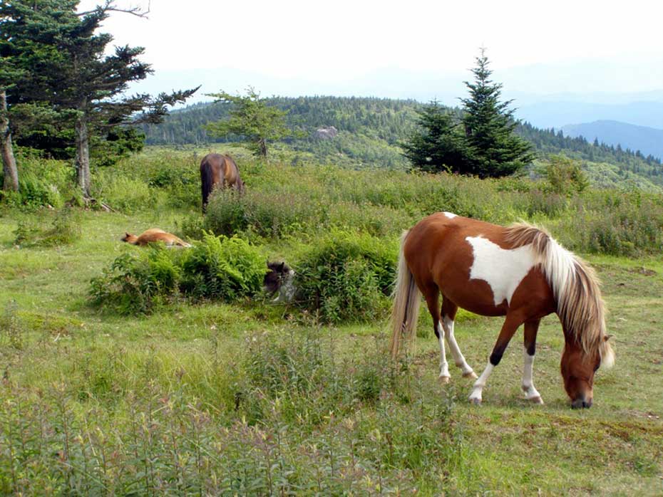
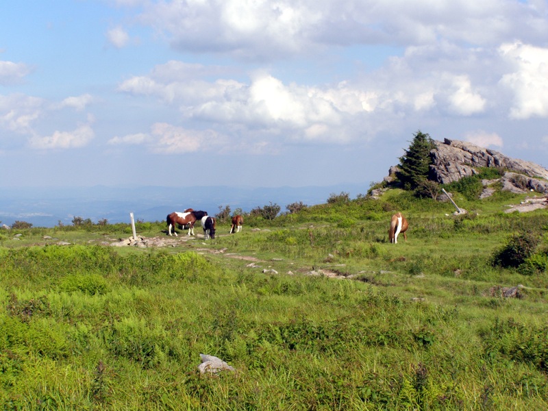
On your way back to Massie Gap you’re guaranteed to pass the wild ponies that roam this area. They are friendly but make sure to obey the rules and not feed or touch them. There are many ways to shorten or lengthen this hike for a quick day hike or weekend backpack, but this encompasses a majority of the best features in this region.
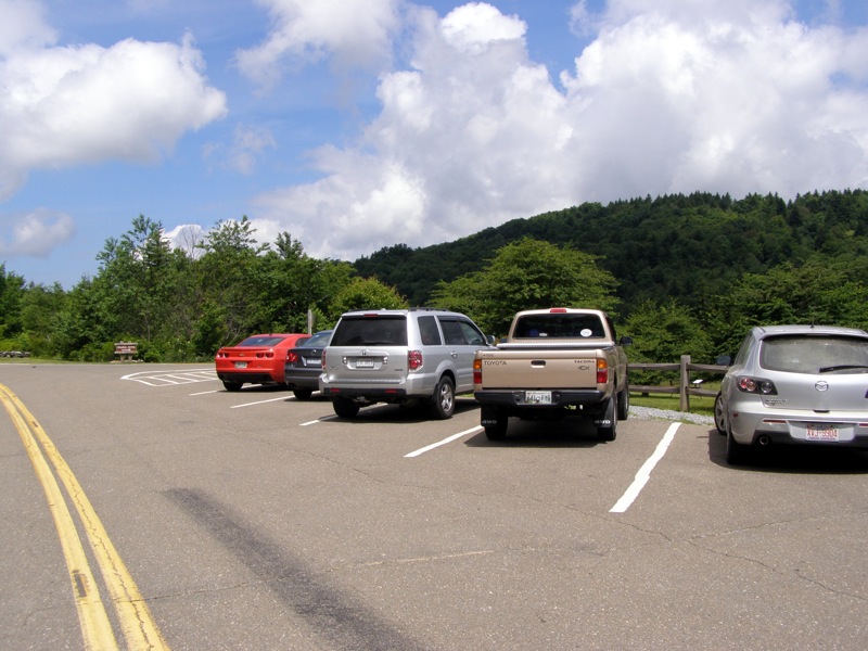
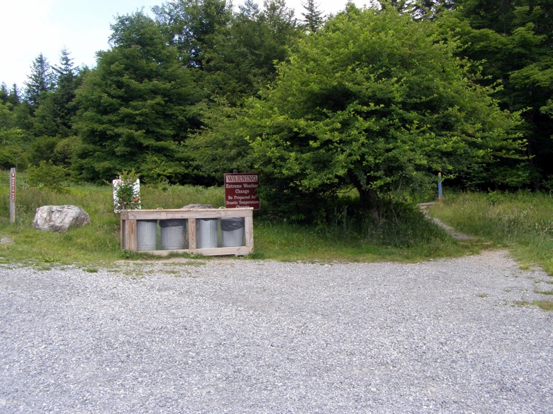
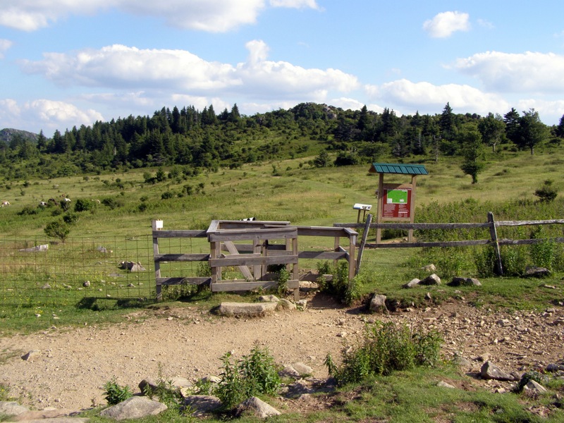
The park is accessed by taking U.S. 58 west from Mouth of Wilson for 11.6 miles or U.S. 58 east from Damascus Road for 24.9 miles. There is a large state park entrance sign, take VA-362 north from this turn off. At the park gate you will have to pay a $7 fee, and $10 fee for April-October weekends. The well-marked Massie Gap parking area is 3.3 miles from U.S. 58. The overnight backpacking lot is directly before Massie Gap parking on the right off the group camping road turnoff.
Horse Trails – There are many horse trails throughout this region that crisscross and parallel many of the hiking trails. This loop is entirely on hiking trails but many horse trails can be used to reduce mileage. It’s difficult to get lost using a horse trail, but they’re usually very rocky and the views aren’t as good.
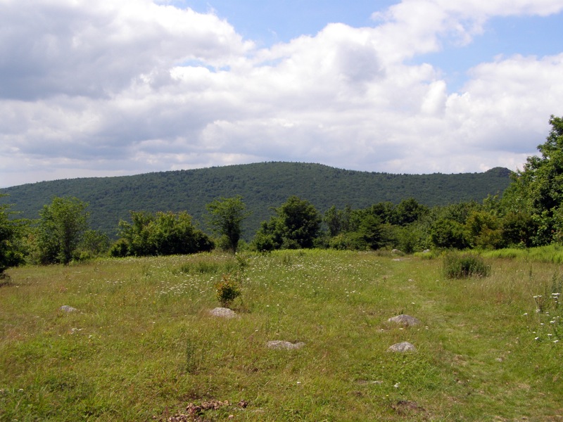
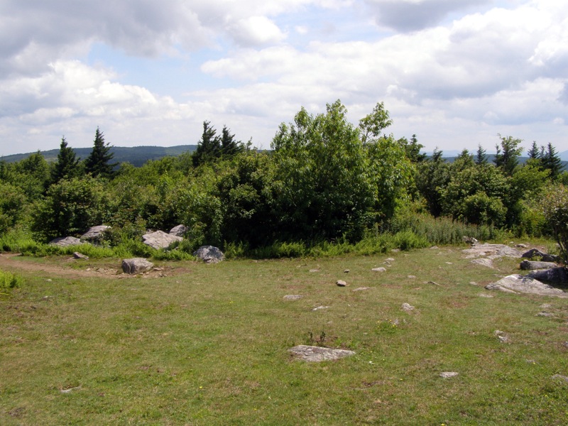
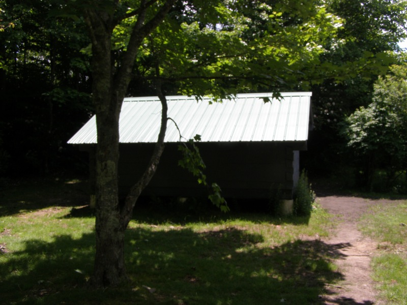
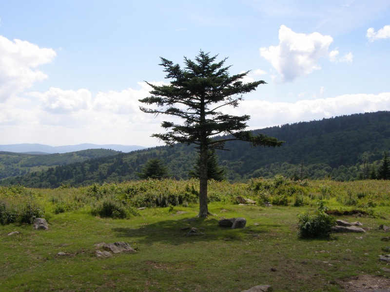
Camping – There are excellent camping areas around Wise Shelter, Pine Mountain Trail, and from Rhododendron Gap to Thomas Knob Shelter. Water may be difficult to find along the Pine Mountain Trail and close to Rhododendron Gap.
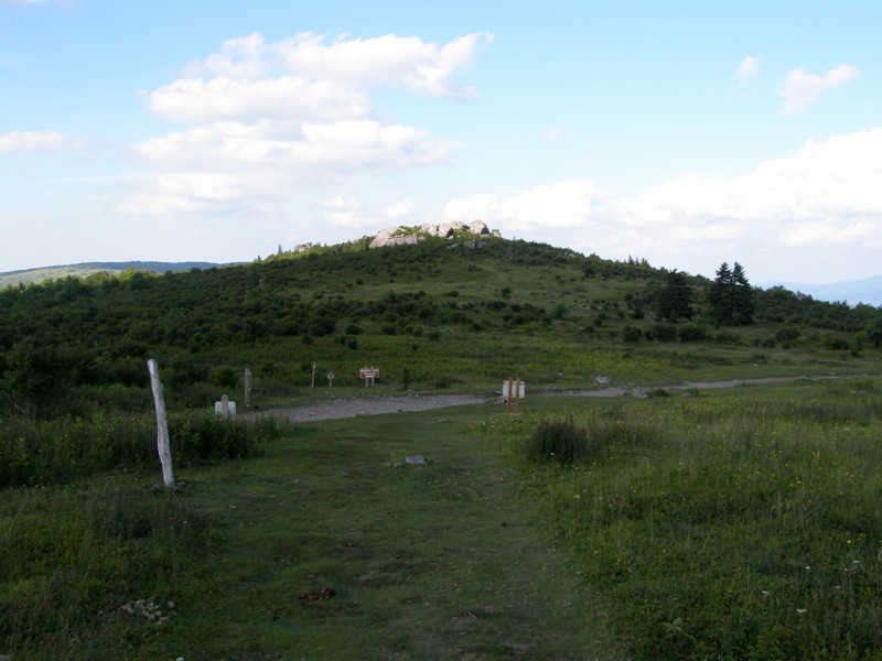
Mile 0.0 – Begin at Massie Gap day parking area. Turn right going down the road past the pit toilets towards the overnight backpackers parking lot.
Mile 0.3 – Turn left at road.
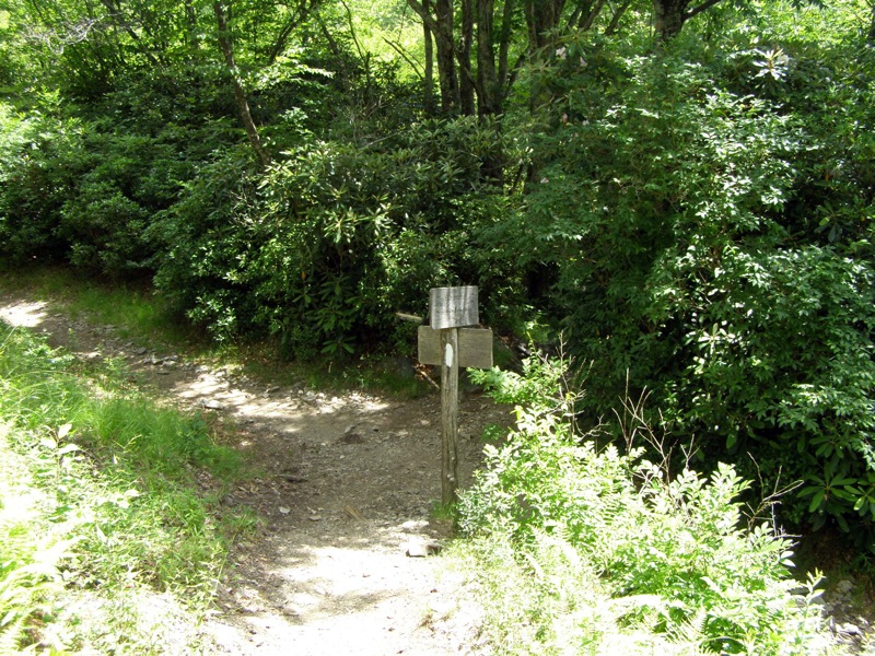
Mile 0.4 – Appalachian Spur Trail (blue blaze) begins far left of overnight parking lot.
Mile 0.5 – Junction with Horse Trail, continue straight on AT spur trail which climbs through a forest towards the Appalachian Trail
Mile 1.2 – Spur trail ends at a T-junction with the Appalachian Trail (white blaze) in a clearing. Head north on the AT leaving the open ridge and diving down into a forest.
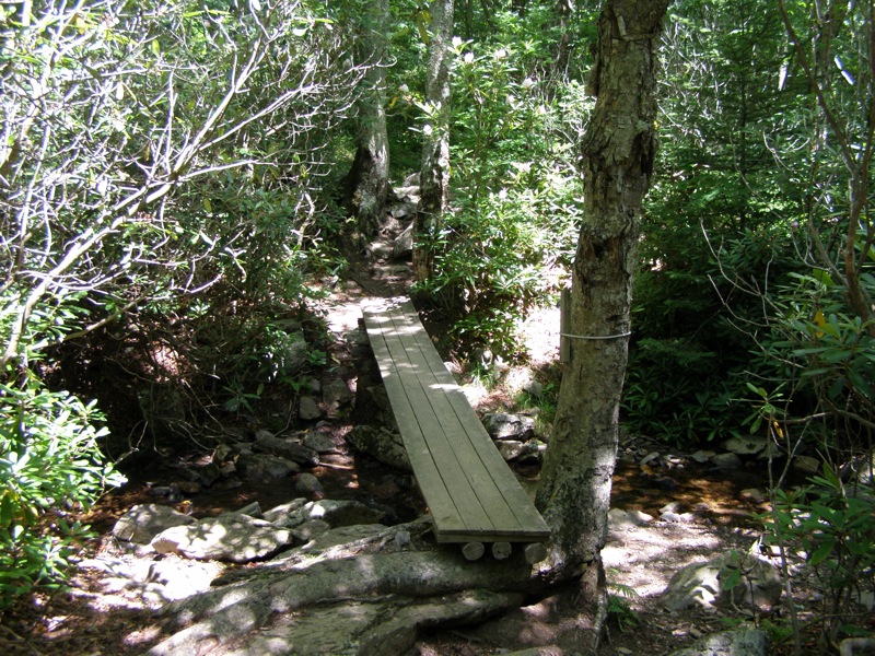
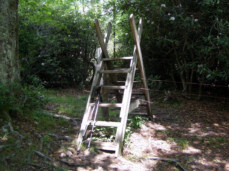
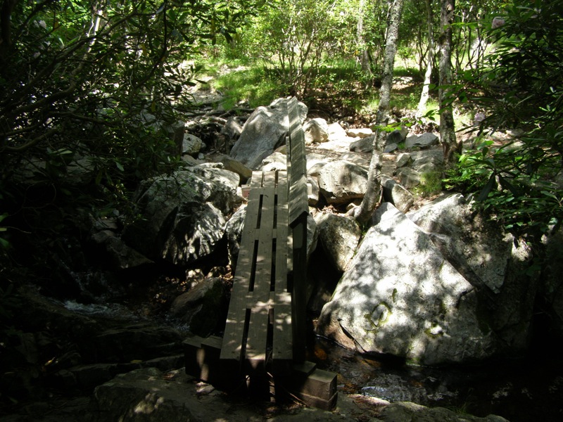
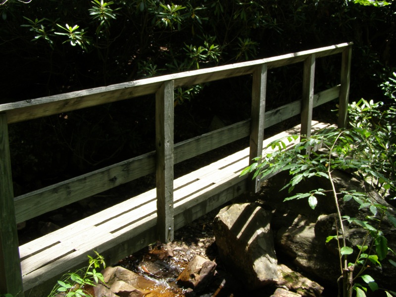
Mile 1.8 – Cross over Quebec Branch of Wilson Creek on a log bridge. Beyond the crossing the trail passes through multiple horse gates following the left side of the branch through an open forest.
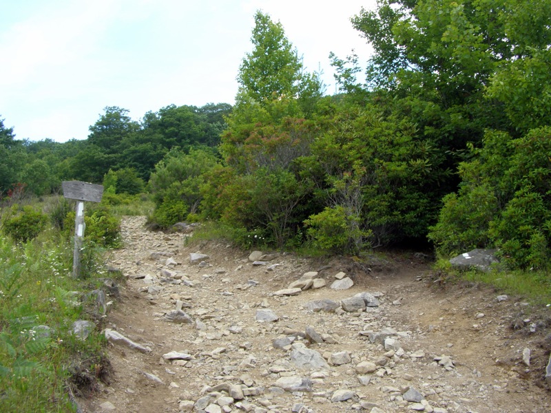
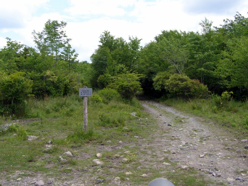
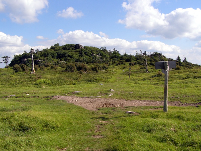
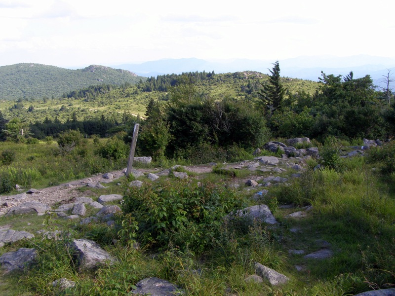
Mile 3.1 – Come to a confusing intersection with the Scales Trail. Turn left at the intersection following Scales Trail then look for the AT splitting off to the right in 200 feet.
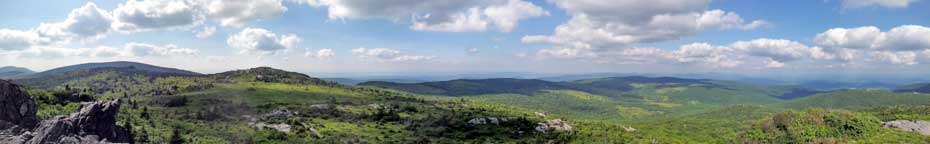
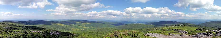
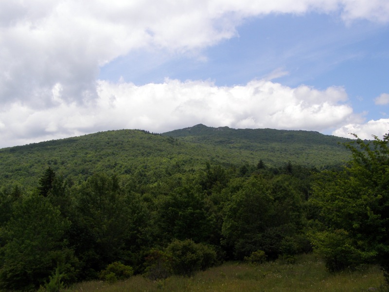
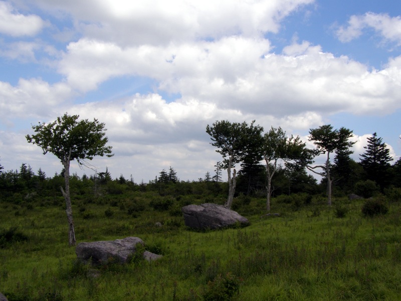
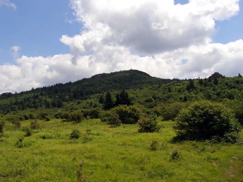
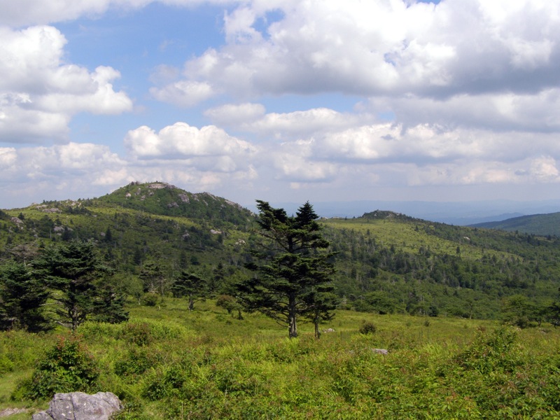
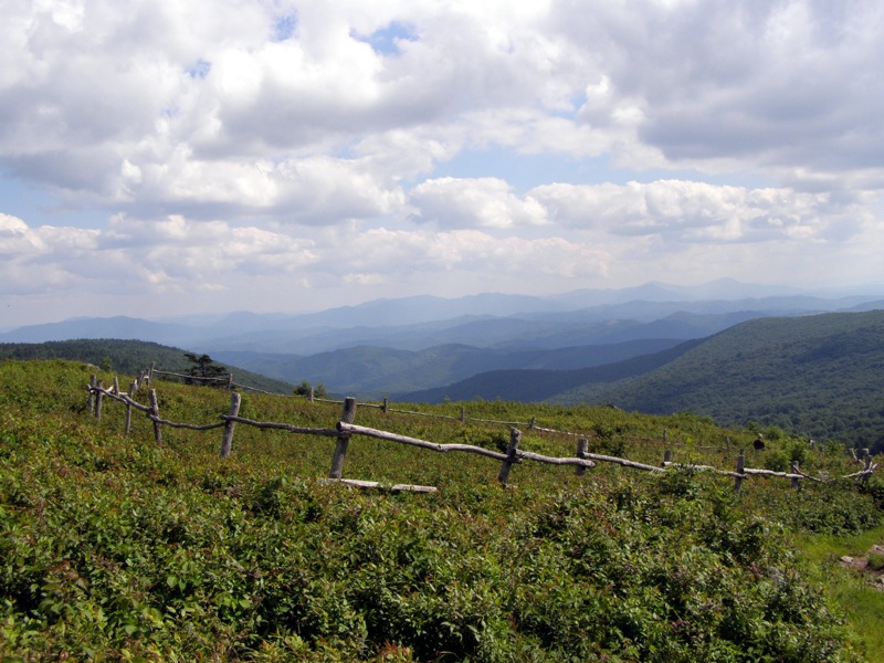
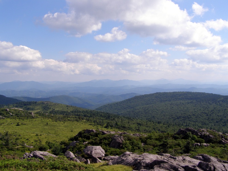
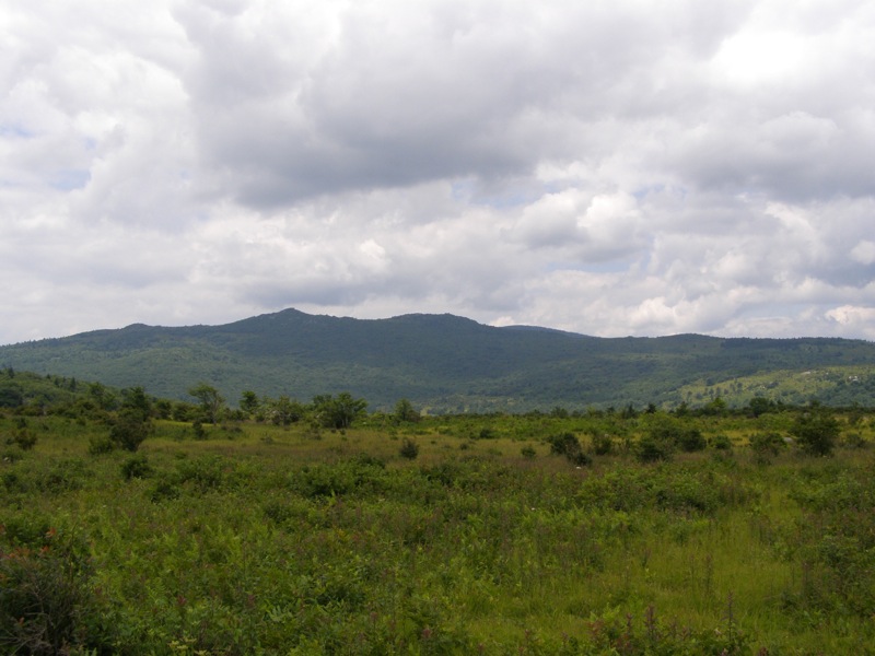
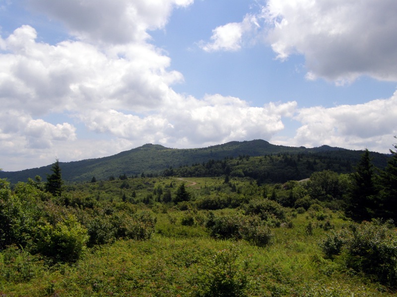
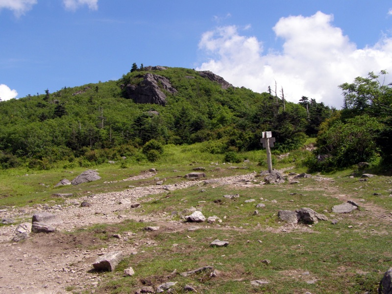
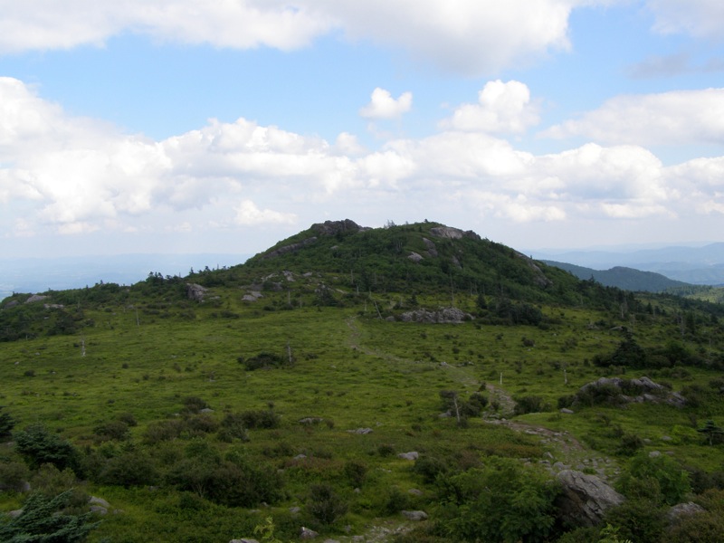
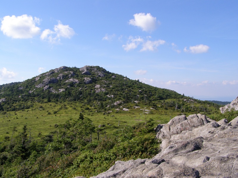
Mile 4.4 – Junction with Bearpen Trail, stay straight on AT. The trail leaves the Little Wilson Creek Wilderness. For the next 1.2 miles the trail dramatically climbs the open fields of Stone Mountain. From here you can see the peaks on Haw Orchard Mountain, Wilburn Ridge, and Pine Mountain rising high above the Wilson Creek drainage to the southwest. To the northeast, Stone Mountain and Third, Second, and First Peak dominate the horizon.
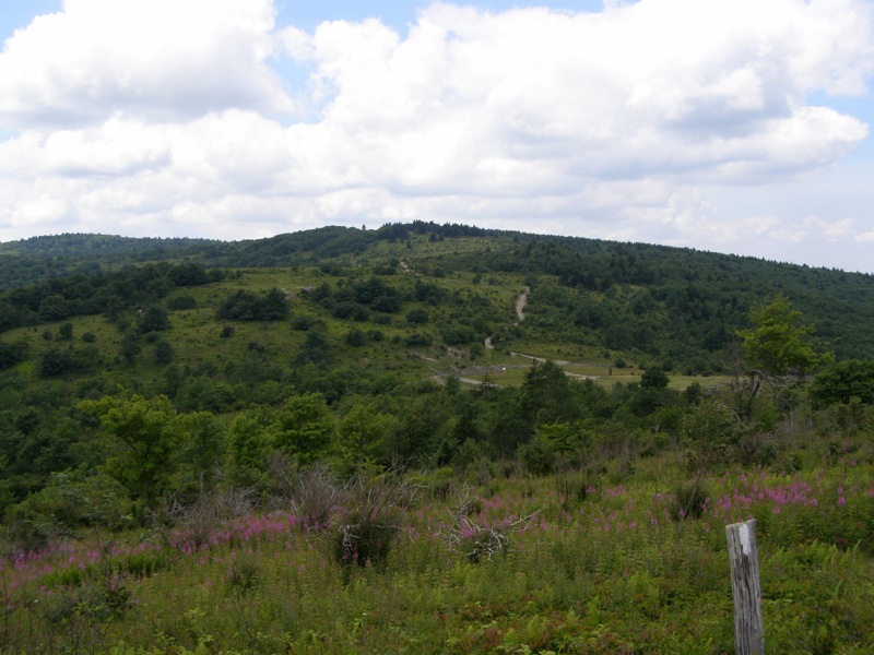
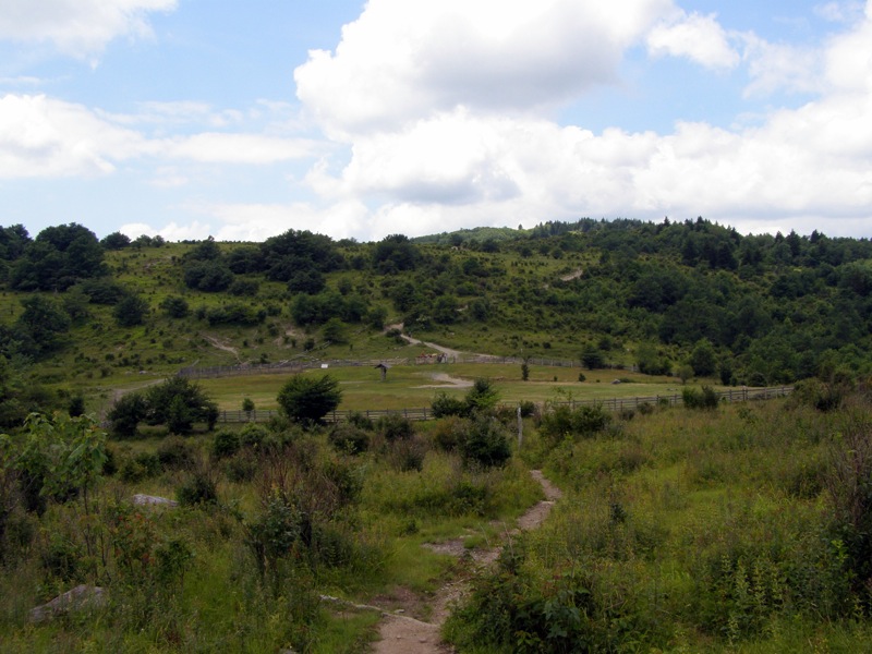
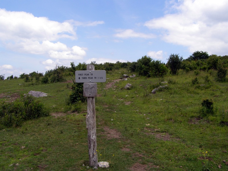
Mile 5.6 – Reach the Scales compound tucked between Stone Mountain and Pine Mountain Ridge. There are a lot of trails leading away from this area, make sure to follow the correct path. Immediately on the right the First Peak Trail goes into the Little Wilson Creek Wilderness. Make your way around the left/south side of Scales to continue on the AT.
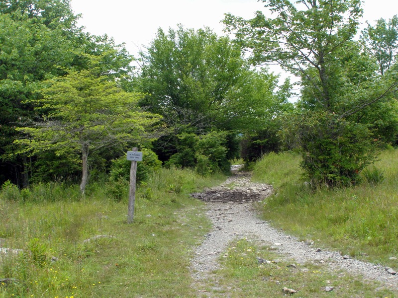
Mile 5.8 – The Crest Trail and AT go left/west away from the compound. The AT splits off to the right climbing into forest. Avoid the more obvious Crest Trail. For 1.3 miles the AT climbs steadily through thick conifer forest.
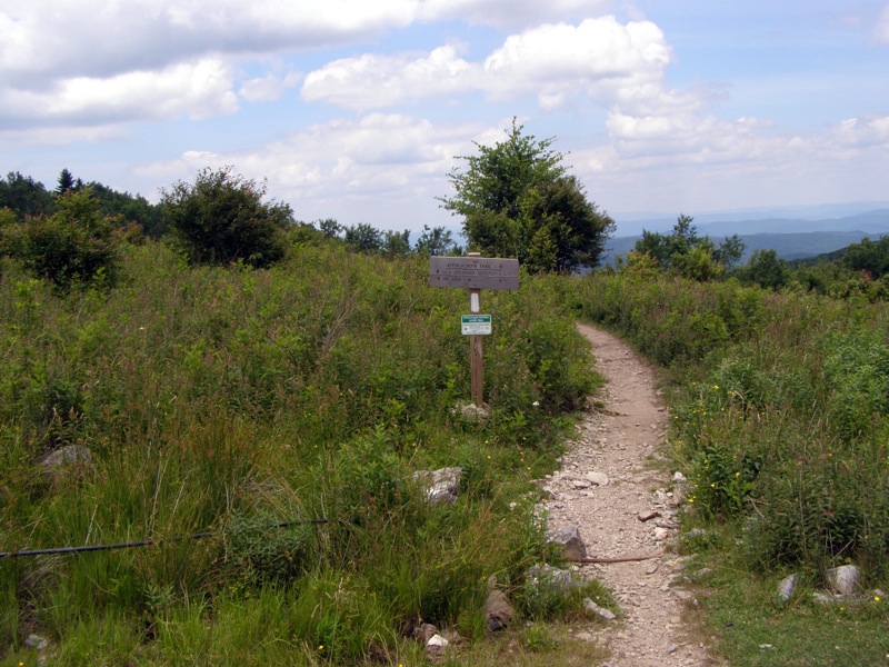
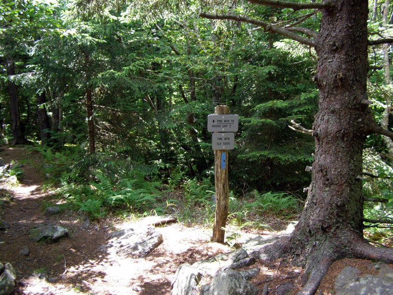
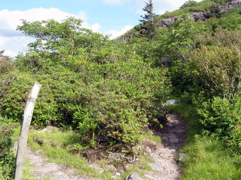
Mile 7.1 – Take a left on Pine Mountain Trail (blue blaze)heading southwest. This trail leads to the AT at Rhododendron Gap in 2.0 miles.
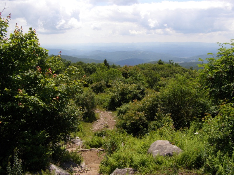
Mile 7.7 – The trail leaves the forest and opens up with great views of Wilburn Ridge and Mount Rogers directly south.
Mile 8.0 – Junction with the Lewis Fork Trail. The Pine Mountain Trail is directly across and faintly marked. To the left the Lewis Fork Trail ends in 0.1 miles at the Crest Trail. If you accidentally take this route the Crest Trail also leads to Rhododendron Gap. The Pine Mountain Trail begins a steep climb through forest.
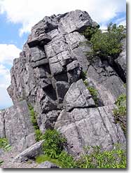
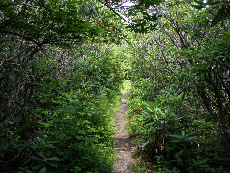
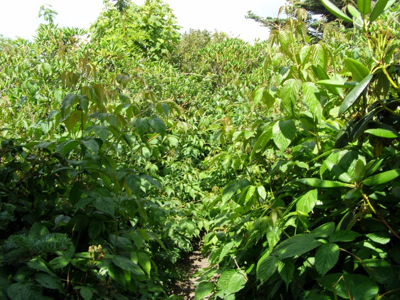
Mile 8.5 – Leaving the forest cover the trail climbs through very thick rhododendron coverage, then weeds and briars. There are giant rock formations along the trail along with more views south. Option: In the summer this section is very overgrown with briars and weeds, long sleeves recommended. Sometimes you cannot see the ground through the thick bushes. If you want to avoid this section take the Crest Trail from the Lewis Fork Trail intersection.
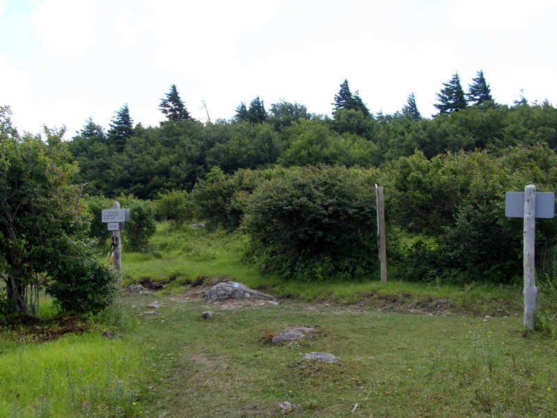
Mile 9.3 – Junction with the Appalachian Trail at Rhododendron Gap. Head south on the AT towards Mount Rogers for a short 1.1 miles out-and-back to the Thomas Knob Shelter. Initially the trail is level through forest cover. Option: Take the AT north back towards Grayson Highlands. This will save 2.2 miles but you will miss the Thomas Knob area.
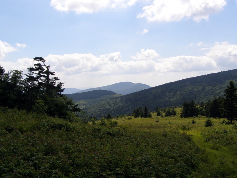
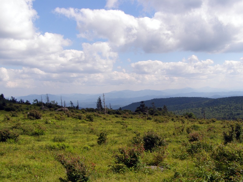
Mile 9.5 – From here all the way to the Mount Rogers Spur Trail the trail is wide open with many views to the south and west. There are excellent flat areas for camping all along this stretch.
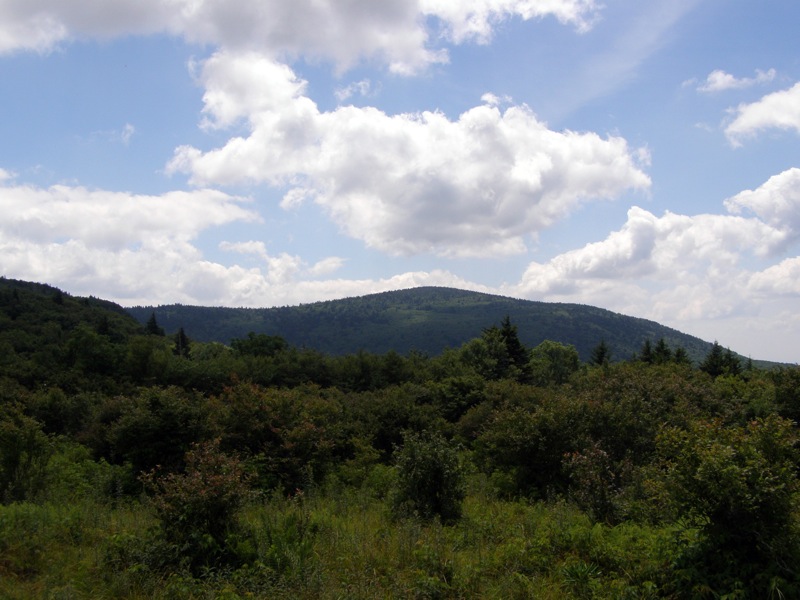
Mile 9.9 – Climb around the shoulder of Thomas Knob and get your first glimpse of the sloping hulk of Mount Rogers. Whitetop Mountain dominates to the west.
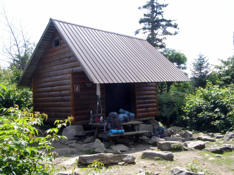
Mile 10.4 – Reach the Thomas Knob Shelter. The rock outcrop behind the shelter offers outstanding views of Mount Rogers, Whitetop Mountain, and the Helton Creek drainage. Prominent peaks in western NC such as Grandfather Mountain and Grassy Ridge Bald are visible. Below the shelter there is a short trail to a spring. Turn around and head back to Rhododendron Gap. Option: You can continue another 0.4 miles to the Mount Rogers Spur Trail, a 0.5 miles summit climb to the highest mountain in Virginia. This trail is an easy climb through fir-spruce forest. The summit is covered in trees offering no views, but you can claim the highest mountain in the state. This adds an additional 1.8 miles round trip.
Mile 11.6 – Reach Rhododendron Gap and head north on the AT. Avoid taking the Crest Trail on the right and climb up the shoulder of Pine Mountain.
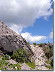
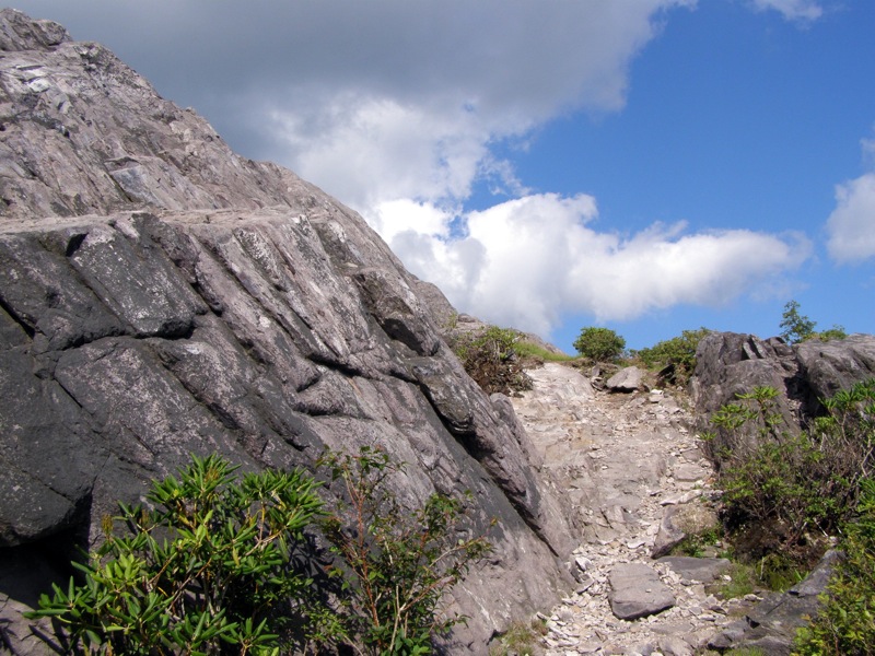
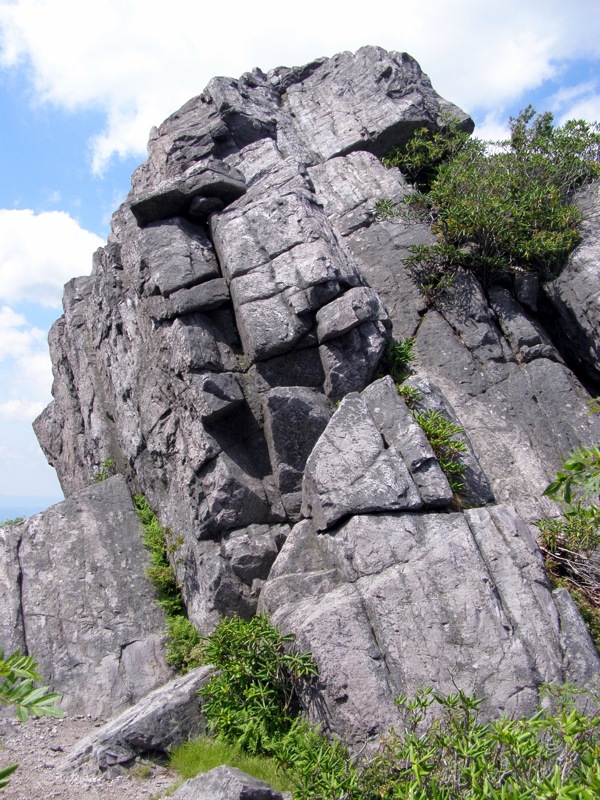
Mile 11.9 – Begin a spectacular section along the rocky Wilburn Ridge. The AT hovers near the crest with great views in every direction.
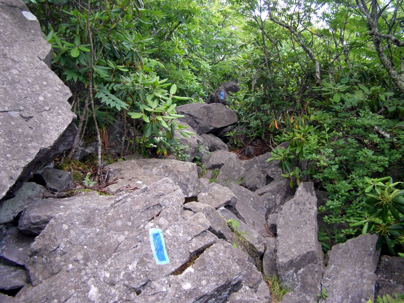
Mile 12.1 – Junction with Wilburn Ridge Trail(blue blaze). Stay right on the short but steep trail for 1.0 miles up and over 2 peaks. The trail is mostly over large boulder and rock faces, bright blue blazes are painted directly on rocks. Option: Stay left on the AT to avoid the rocky climbs over Wilburn Ridge. The AT skirts the north shoulder of the ridge. It is easier and about the same distance but the views aren’t nearly as good.
Mile 12.6 – Junction with Rhododendron Gap Trail, continue straight on Wilburn Ridge Trail to ascend the 2nd peak. If you have had enough of the rocky climbs the AT is conveniently a few hundred feet on your left.
Mile 12.9 – Wilburn Ridge Trail ends at the AT, continue north on AT towards Massie Gap descending over rocky terrain.
Mile 13.2 – Junction with Crest Trail and Virginia Highlands Horse Trail at the boundary for Grayson Highlands State Park. Continue straight through the horse gate on the AT.
Mile 13.9 – Trail splits. Virginia Highlands Connector Trail goes left, stay right on Rhododendron Trail.
Mile 14.4 – Hike ends at the Massie Gap parking area.
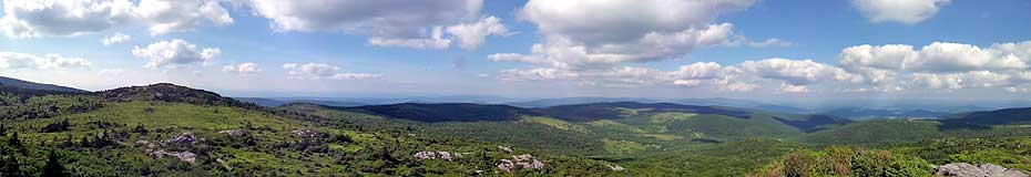
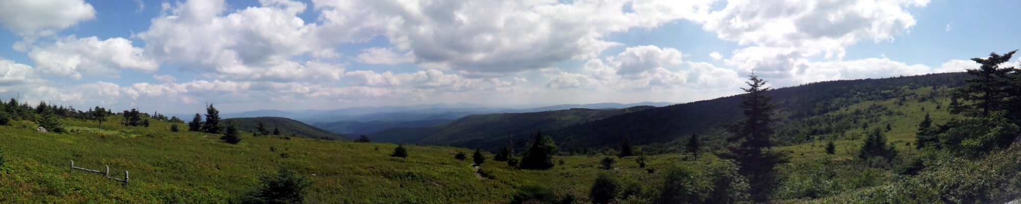
Panoramas
Early July
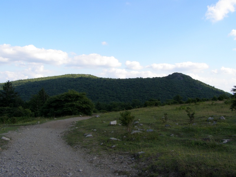
Wilburn Ridge/Pine Mountain
Wilburn Ridge/Pine Mountain Hike Comments
Archived Comments
By:Zachary Robbins
Rating:
Date of Hike: Sunday, September 15, 2019
I did a modified version of this hike with my friend. Instead of following the Appalachian Spur Trail by accident we followed the Horse Trail and Rhododendron Trail, which adds a little distance but passes a few incredible boulders between the Rhododendron and Appalachian Spur junctions. These unnamed boulder peaks are some of the highlights of this area. When we arrived at Scales we did the out-and-back to the summit of Stone Mountain that is listed on the Little Wilson Creek Wilderness hike. Although the Appalachian Trail crosses the slopes of Stone Mountain on the way to Scales, the true summit on the First Peak Trail is easily one of the best views in the Mount Rogers NRA. As a bonus, you are unlikely to encounter any people on this peak contrary to the Wilburn Ridge section. Next, instead the Pine Mountain Trail we wanted to check out the Crest Trail. This is the horse trail that parallels the Pine Mountain Trail and shaves 0.2-mi. We thought it might be boring, however, the Crest Trail is gorgeous. Most of the trail is completely exposed offering nonstop views. Additionally, there are some amazing campsites near the trail. I think this is a better option than Pine Mountain.
When we reached Rhododendron Gap we skipped the out-and-back to Thomas Knob and walked back towards the state park. My feet at this point were killing me due to new shoes that I hated and am returning pronto. We opted to take the Appalachian Trail instead of the Wilburn Ridge Trail since it requires more scrambling and foot traction. However, the AT through Wilburn Ridge is still rocky as hell. In my opinion the Grayson Highlands region has some of the worst rocks I've encountered in the SE Blue Ridge, so predict your feet might be hurting after a simple day hike. The nice thing about this loop is you can shorten or lengthen it with out-and-backs to viewpoints, or with shortcuts using the horse trails instead of hiking trails. This area is full of modifications that can keep every visit interesting.
Side note - bear lockers have been installed at the Wise Shelter, and all of the shelters in this area.
By:Patrick
Rating:
Date of Hike: Saturday, June 15, 2019
This hike has become my all time favorite in Virginia. I am definitely going to be going back to Grayson Highlands to do this hike again. We saw a lot of the wild ponies, horses, and the views were spectacular. I could have easily taken over 300 pictures with the amazing and incredible views that we saw.
We did make a couple of changes to the hike. We did not go out to the Thomas Knob Shelter and Mt. Rogers, and we hiked the Crest Trail instead of the Pine Mountain Trail to the Rhododendron Gap intersection with the Appalachian Trail. The total distance was exactly 12 miles. The views from Rhododendron Gap back to Massie's Gap were absolutely amazing. With the low humidity, We could make out the mountains in North Caroline and Tennessee. We could even make out Big Hump Mountain and Little Hump Mountain in the Roan Highlands.
By:Dan
Rating:
Date of Hike: Saturday, October 21, 2017
I did this as a day hike and it was absolutely amazing. I got started by 9am on an October Saturday and beat most of the crowds at the start. I intended to do the hike as written, but got tired and decided not to go out to Thomas Knob Shelter or Mount Rogers. Then coming down I got a little confused and ended up taking a different trail down and hit the crowds of Cub Scout backpackers and pony watchers. My knees and ankles took a beating on the last three miles, but well worth it. Overall, I went 12 miles in 6.5 hours but I took a little nap in the autumn sun. Can't wait to do this as a overnighter.
By:Whitney K.
Rating:
Date of Hike: Saturday, September 9, 2017
We've done this hike twice as an overnight backpack, and it's great as written, but I did want to make a few notes:
Somewhere between mile 1.8 and 2.6 on this hike, (so after the bridge and before the Wise Shelter, a little ways after the fence line ends) there is a confusing intersection where the AT bears right. Make sure you stay right, and do NOT follow the dead-end trail to the left. It's a bit confusing.
The creek near the Wise Shelter is an excellent water source, and your only one besides the spring at the Thomas Knob Shelter, so make sure you plan accordingly, especially if it is hot out.
One thing this guide does not mention is the multiple small rock scrambles towards the end of the Pine Mountain Trail. They are definitely doable, but they're much easier on a day hike than they are at mile 9 of an overnight trip with a heavy pack. You can take the Crest Trail to avoid them. It's a bit boring and definitely longer than the Pine Mountain Trail, but the views are really nice.
Campsites: There are a lot of really nice sites between Rhododendron Gap and the Thomas Knob shelter. I would recommend walking further down the trail towards Thomas Knob and through the horse gate before you make camp, if you can, because you'll be much closer to the water source at the shelter if you need it. There are some really lovely sites near Rhododendron Gap though.
We've never done the scramble over Wilburn Ridge. The views on the AT, while arguably not as good, are still quite nice, and I don't think you're missing anything if you opt not to take the Wilburn Ridge trail.
Overall, this is one of our favorite hikes, and we would definitely consider doing it again!
By:Alex
Rating:
Date of Hike: Sunday, November 15, 2015
Sunny & cool, no wind- perfect day for hiking. Took a loop hike exactly as described here, minus a detour to Thomas Knob/Mt. Rogers- done it before and was a bit pressed for time. Took me about 6 hrs to complete the loop. Pine Mountain Trail branches rather abruptly from AT- the good checkpoint is crossing over two horse gates in rapid succession- the trail is on the left immediately after the second gate. There is a sign there too, but it's not right in your face. Met ponies on Pine Mountain trail, but haven't seen any along Wilburn Ridge, where they often congregate.
By:David SS
Rating:
Date of Hike: Saturday, July 4, 2015
Was a very fun hike, although we did an abbreviated version. Really the only demerit (aside from crummy weather), was that there were no views from the summit of Mt. Rogers. We started at the Massie Gap overnight lot, and went up the wilburn trail, then connected with the AT to the Thomas Knob Shelter, then kept going to the Mt. Rogers summit. Then we took the AT all the way back down to Massie gap. Trail marking on the Wilburn are very good, especially given that they are almost all among the rocky outcroppings on the ridge. Be prepared that if it is a windy day, you will have virtually no protection up there, so pack accordingly. The AT has a lot of horse traffic, so heads up for their droppings. Also from the wild ponies. Some may mind, but we didn't really care.
By:NH_Hiker
Rating:
Date of Hike: Saturday, July 4, 2015
David SS, I may have run into you because I hiked this the same day! Did it with my girlfriend and dog, Sadie.
The weather was crappy in the morning, but fortunately cleared off for the afternoon and had some splendid views for about half of the hike. We started by going clockwise, up and over Wilburn Ridge (zero views, was in the clouds and raining), and heading for an out and back to Mt. Rogers. Back down from that, it finally started to clear, which was nice. Headed down the Crest Trail, and then Pine Mountain before taking AT back to the Scales. Took a shortcut from Scales using the Scales trail (this trail was kinda boring, probably wouldn't use it again) before getting back on the AT for some wonderful views at Massie Gap now that the clouds had cleared. Overall, ended up being about 14.5 miles and took about 7.5 hours. Can't wait for trip back down to explore some other parts of the area!


