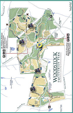
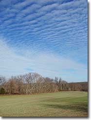
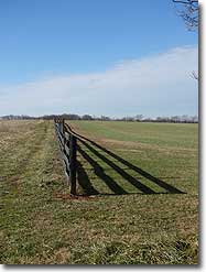
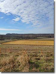
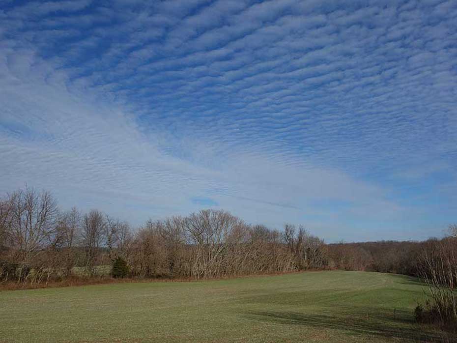
The Woodstock Equestrian Park, located near Beallsville, in Montgomery County MD, is a multi-use 872 acre facility with over 16 miles of hiking and horse riding trails. Still farmed today, the trails mostly follow the perimeters of rolling fields, and have beautiful views of local farmland. George Washington originally owned a portion of the eastern side of the park, and the area still has several structures dating back to the mid 1800s, including the Brewer Farmhouse and Seneca Stone Barn.
Note that the trails on the property are not blazed, however there are trail name signposts at most major intersections.
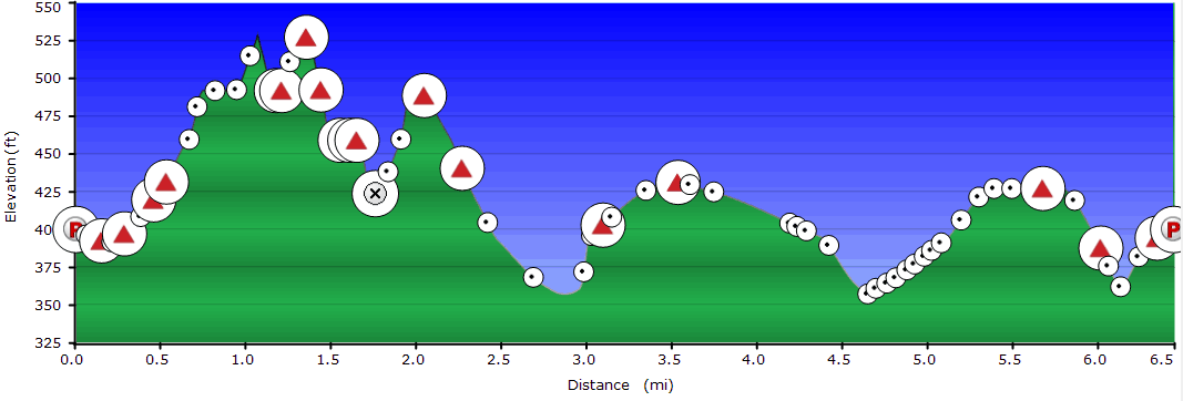
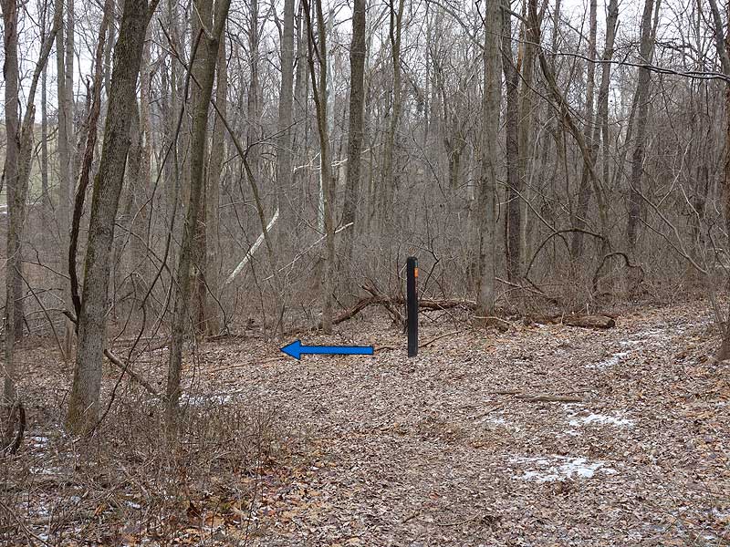
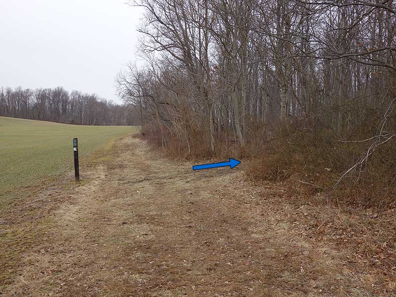
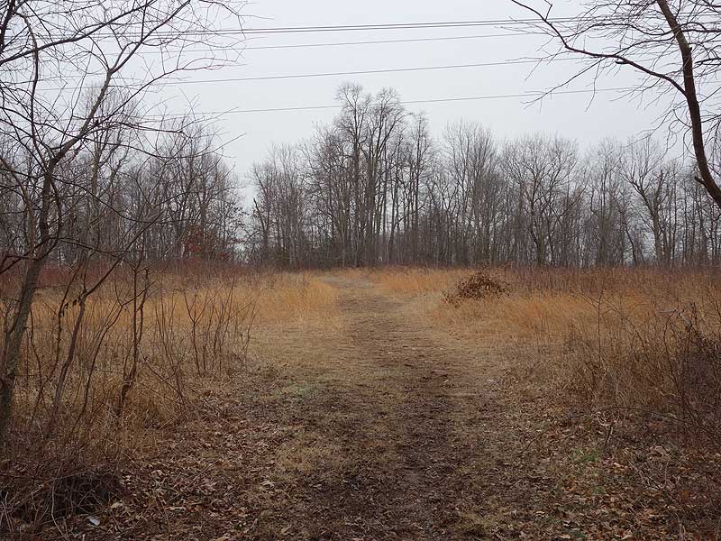
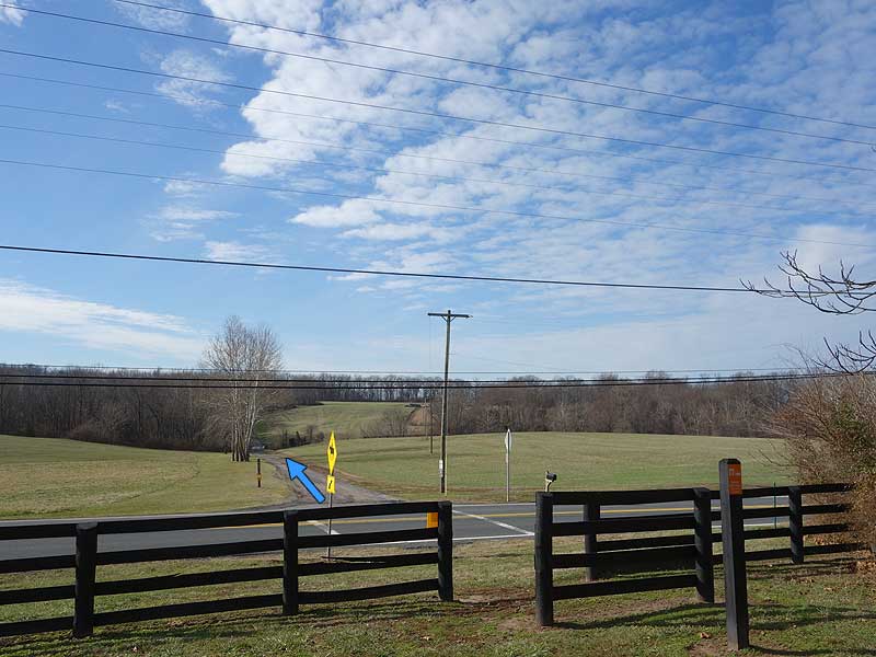
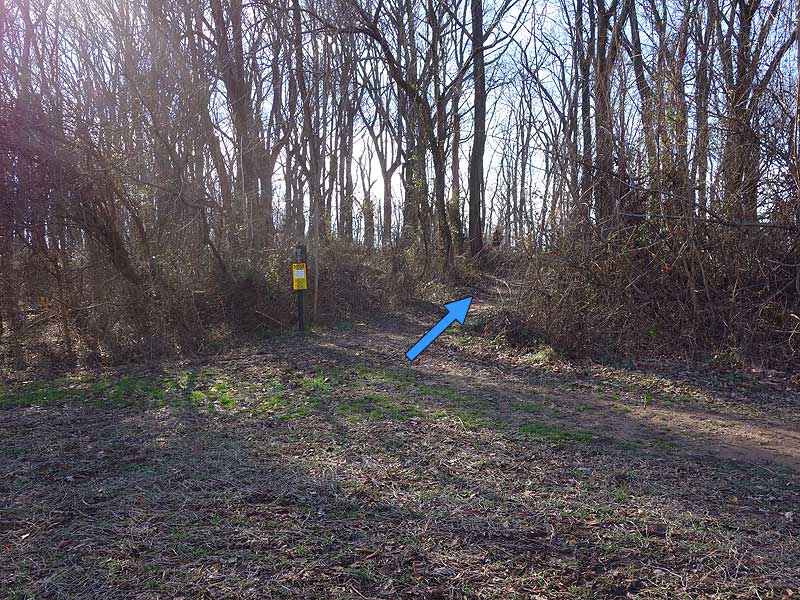
Mile 0.0 – From the parking area head back towards Rt. 28 and follow the Meadow Loop Trail left for 100 yards. Leave the Meadow Loop Trail and cross Rt. 28 Darnestown Rd where there is a break in the fence at the opposite side of the road. The hike continues on the opposite side of the field next to another pedestrian horse bridge. Do Not cross the bridge, turn right following the treeline uphill to the intersection of the Potomac Hunt Loop Trail in 0.1 miles.
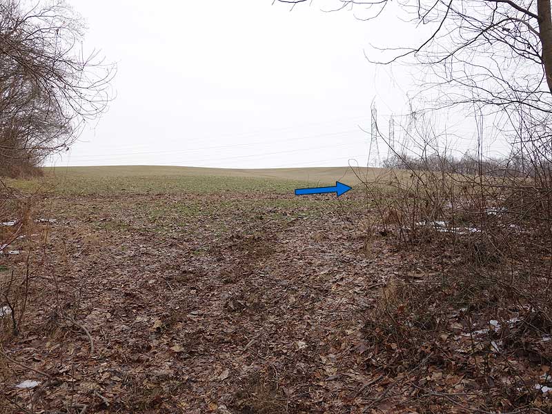
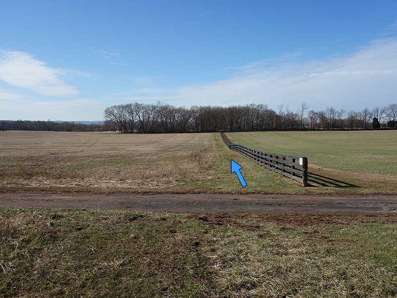
Mile 0.6 - Turn right on the Fields Edge Loop and follow the perimeter of the field. Pass under power lines, then follow the perimeter of an adjacent field. At the corner of this field is a trail that connects to private property. Continue along the perimeter back to the main field and pass the Straight Shot Trail on the left.
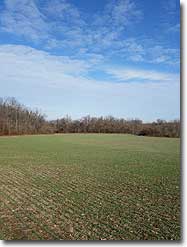
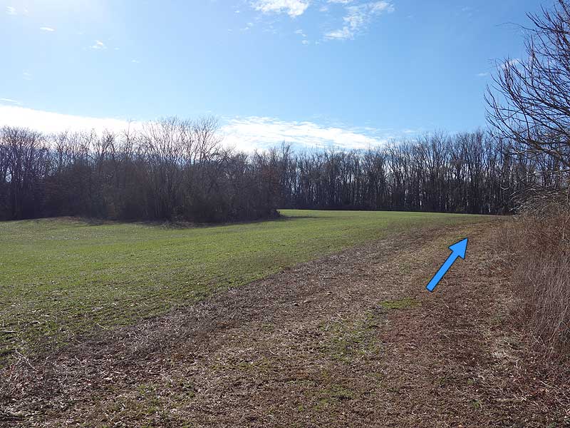
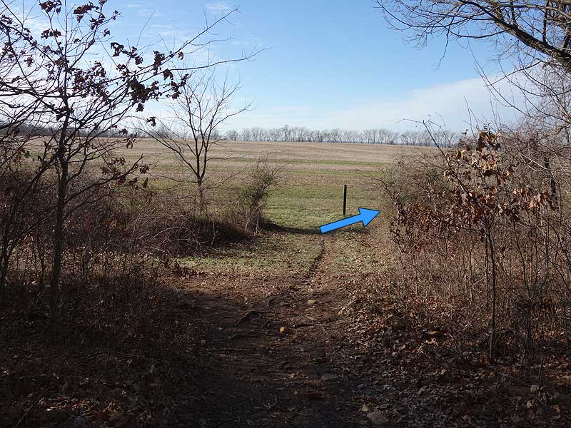
Mile 1.5 - Shortly after passing this intersection turn right onto the High Point Trail. Follow the High Point Trail for 0.1 miles to a connector trail and kiosk. Turn left on the connector then arrive at another field. Turn right following the perimeter of the field, descend through a small gully, then rejoin the Fields Edge Loop. Stay right following the field perimeter to the next trail intersection.
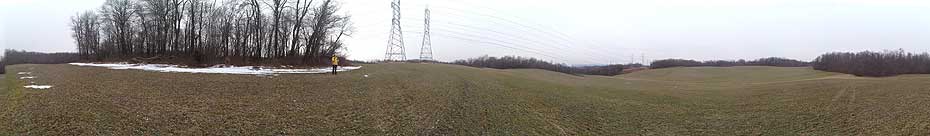
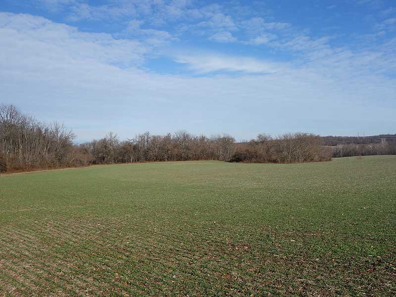
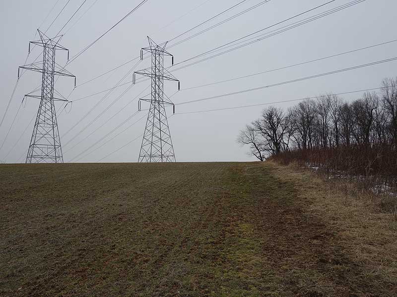
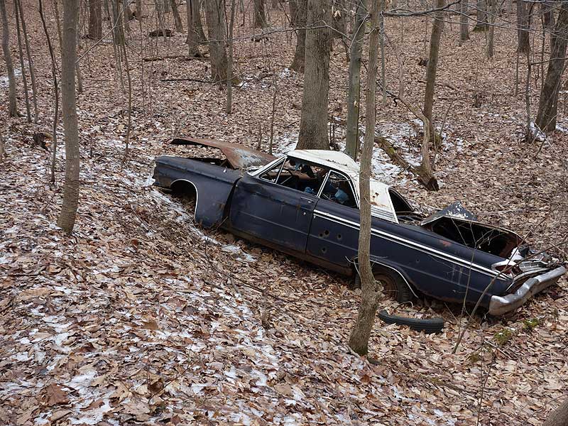
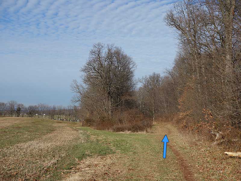
Mile 2.0 - Turn right on the connector trail to the Big Woods Loop Trail, then in 100 yards arrive at the Big Woods Loop Trail. Turn right following the Big Woods Loop Trail as it passes an old Meteor, then a side trail to private property. Continue now slightly uphill passing two more trail intersections before passing through a power line clear-cut. The trail reenters the woods for 200 yards, then enters a small field and arrives at the Rickman Field Loop Trail. Turn right on the Rickman field Loop as it follows the right side of a large field with views of a riding ring. continue to where the trail crosses Rt.28.
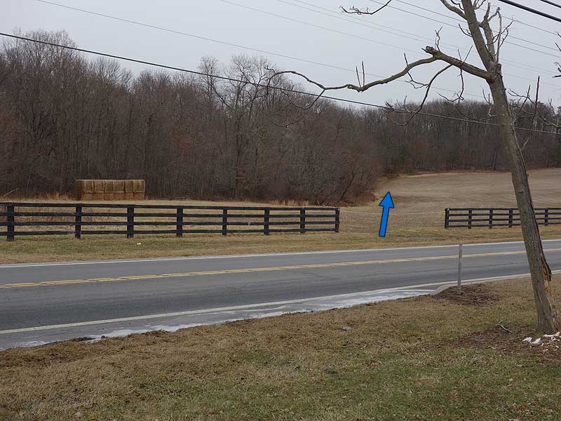
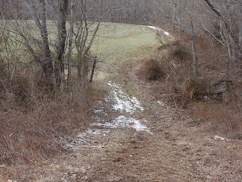
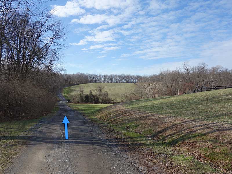
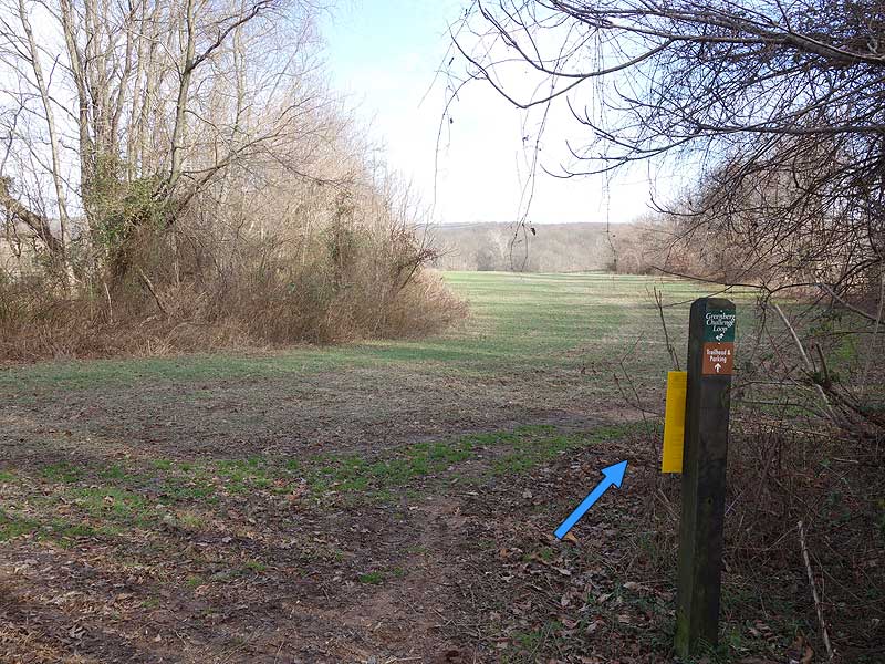
Mile 3.1 - Cross Rt. 28 Darnestown Rd., and follow the gravel road (J.E.B. Stewart Trail) through a low area and over a small creek. The gravel road then climbs and passes the first trail marker for the Greenberg Challenge Loop Trail. Continue on the gravel road for another 250ft to the ridge and top marker for the Greenberg Challenge Loop Trail, located just after an old farmhouse.
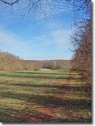
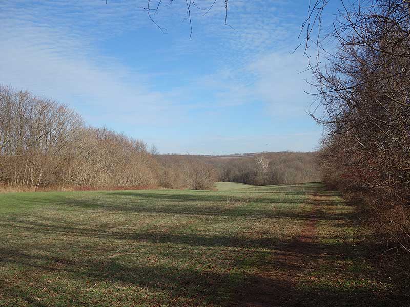
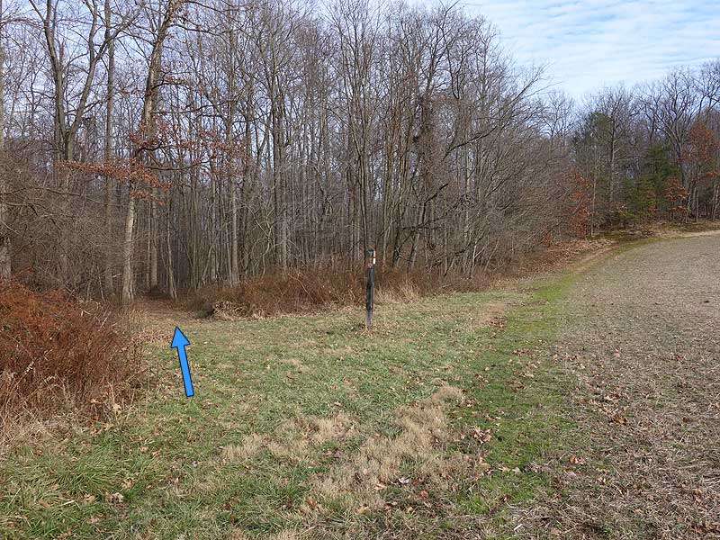
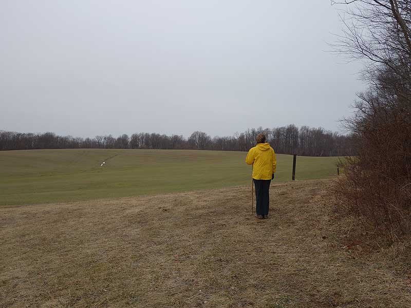
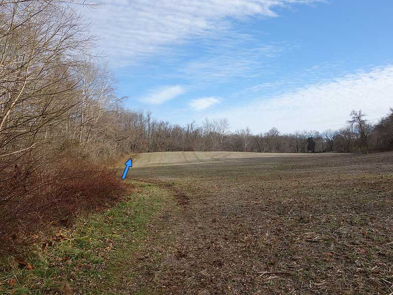
Mile 3.5 - Turn left following the treeline with views of two fields, and in 0.9 miles arrive at the connector trail for the Stone Barn Loop Trail.
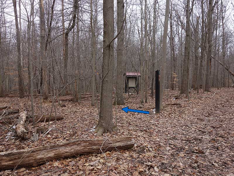
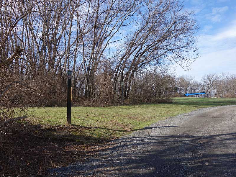
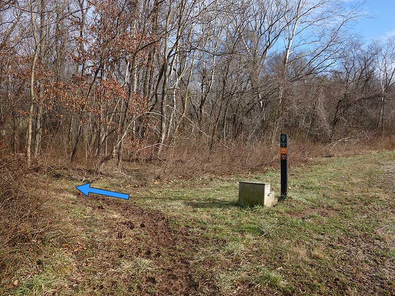
Mile 4.2 - Turn right into the treeline passing a kiosk, then reach the trail marker for the Stone Barn Loop Trail as you exit the trees.
Mile 5.2 - Just before arriving at Wasche Rd. turn left following the field boundary, and shortly arrive at Seneca Stone Barn. Continue along the trail re-crossing the Farm Road Trail and follow the field boundary for another 0.6 miles back to the start of the Stone Barn Loop Trail.
Mile 6.4 - Pass back through the treeline to the Greenberg Challenge Loop Trail. Continue right on the Greenberg Challenge Loop Trail downhill for 0.3 miles to the intersection of the Two Bridge Trail.
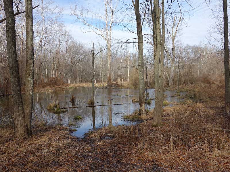
Mile 6.7 - The Two Bridge Trail will cross the first bridge, then turn left through a wetland area and pass a small pond. Exit the treeline and follow the trail along the left side of another field to the start of the Monocacy Loop Trail.
Mile 6.9 - Climb the small rise back to the kiosk and parking area.
Late March
Woodstock Equestrian Park
Woodstock Equestrian Park Hike Comments
Archived Comments
By:MJP in MD
Rating:
Date of Hike: Friday, October 19, 2018
Perfect weather, great hike...actually more of a walk since not mountaineous, 3 hikers & 1 dog in the party, dog off leash throughly enjoyed it. We saw 1 person on the trail and 2 horseback riders at a distance...Enjoyed the solitude ...only took 1 wrong turn... my fault read & follow map precisely & you will be fine... even with the wrong turn we made out fine, never really lost...
When you are done treat yourself to Whites's Ferry and a trip up RT 15 to Vanish brewery...good beer food & dog/family friendly.
We had a wonderful day...would love to bring my horse up here too.
By:Aldcsports
Rating:
Date of Hike: Sunday, March 18, 2018
The turn-by-turn directions were helpful as you are often walking at the edge of farm fields and the trail is not so obvious. At Mile 0.0 in the parking lot, the Meadow Loop Trail is kind of funny because you park and wander around the grass just to get back to where you drove in to the parking lot. My group laughed when we saw the old Meteor. The Mile 3.1 directions say to pass the old farmhouse by 250 feet and turn left (Mile 3.5) -- that marker was down and hidden in the trees the turn will be when you can still see the farmhouse so if you bear right and it is out of view you have gone too far. At Mile 4.2, they must have taken down the kiosk but the trail marker for the Stone Barn Loop Trail was clearly visible. My group enjoyed the Seneca Stone Barn. Overall, a very pleasant hike! Bring sunscreen!
By:aldikuma
Rating:
Date of Hike: Friday, July 29, 2016
A very easy, enjoyable seven miles! The directions on HU were excellent. I agree with the previous hiker that this is a nice change of pace from the mostly wooded hikes. The scenery changes frequently from open fields to woods to a dirt road to soybean fields. Spotted a rat snake and a few deer. The most enjoyable part of the hike was resting at the Seneca Stone Barn and watching the many, many butterflies in the wildflower field. It was a hot day to hike, but I had enough shade in most parts that it wasn't bad. I didn't see anyone else on this hike, not even riders (thought watch for many piles of horse poo!). A note that if you do this route anytime between late spring and early fall, wear pants and boots as the grass was thick and tall around much of the second part of the hike once I got to the Greenberg Challenge Loop. The fields are probably sprayed, reducing the bugs, but I still found a few ticks on me and my dog.
By:Sean
Rating:
Date of Hike: Wednesday, April 20, 2016
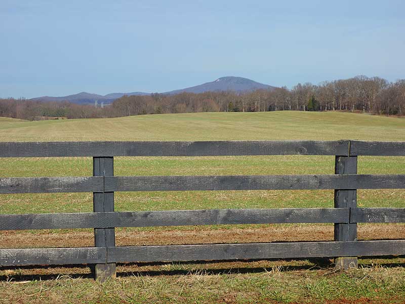
After many hikes in the woods and mountains this was a nice change of pace, with most of the hike out in the open along fields. To me, that added to the tranquility of the hike. Just saw a couple of "equestrians" on the whole hike and had a nice chat with them. I found the Seneca Stone Barn interesting. Wonderful view of Sugarloaf Mountain from a perspective I hadn't seen before. (Also a better view of that power plant I see from the top of Sugarloaf -- LOL).


