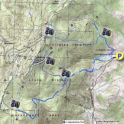
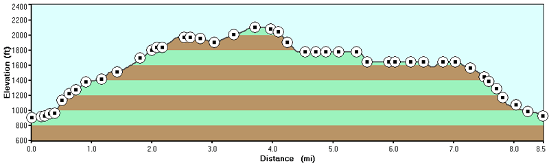
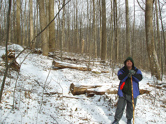
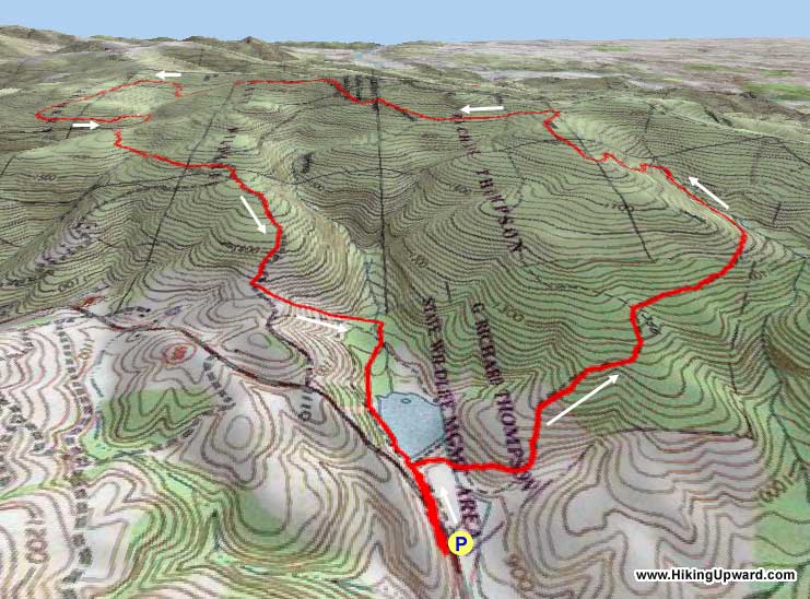
This hike loops around the entire G. Richard Thompson Wildlife
Management Area and is one of our favorites in the winter months. Almost
8 miles in length and with an elevation remaining under 2,200
feet, you can still have a great hike when the daylight hours
are shorter.
IMPORTANT NOTE: This hike is in a Virginia Wildlife Management Area which now requires a permit. Effective January 1, 2012, The Virginia Department of Game and Inland Fisheries (DGIF) requires an Access Permit for visitors to department-owned Wildlife Management Areas (WMAs) and public fishing lakes for anyone age 17 and older, unless they possess a valid Virginia hunting, freshwater fishing, or trapping license, or a current Virginia boat registration. All hikers who are age 17 and older, unless they possess a valid Virginia hunting, freshwater fishing, or trapping license, or a current Virginia boat registration, will need an access permit to hike on any Wildlife Management Area.
The one thing to keep in mind is that this area
is very popular during hunting
season, so make sure you wear some blaze
orange if you are hiking anytime from late November to the
end of January.
If you do this hike in nice weather a great way to top this hike off is to stop for lunch at Maxwell's Pub in Middleburg on the way back and grab a seat on their outdoor deck, which is dog friendly.
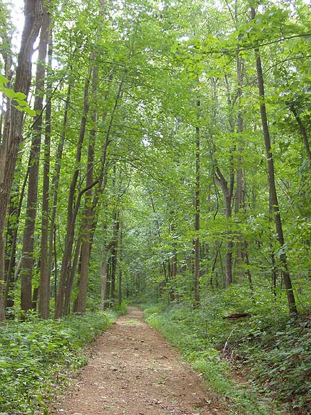
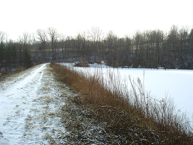
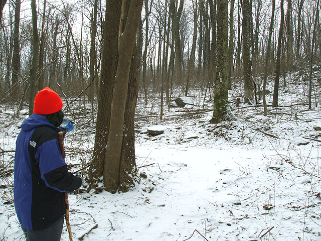
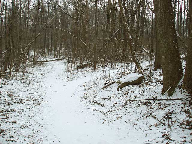
Start by walking up the dirt road to Lake
Thompson. Turn right
walking beside the lake and then veer right
uphill. You
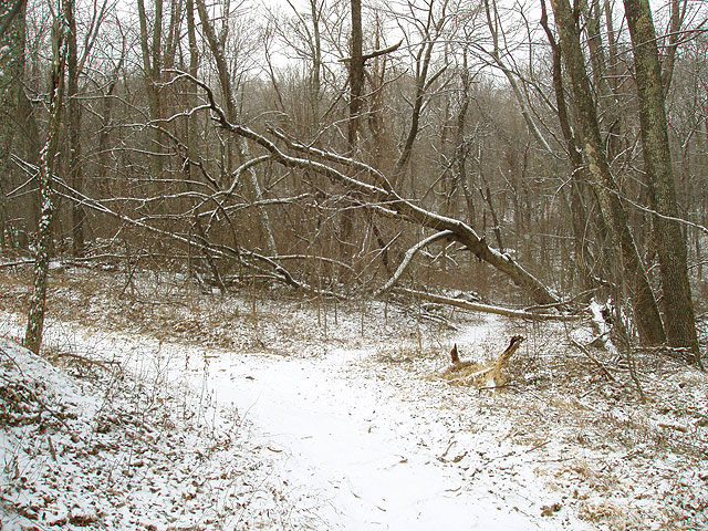
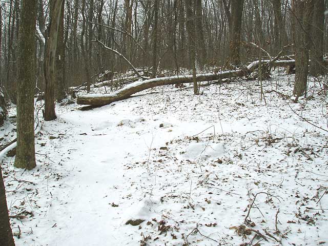
will run into several large blow downs from tropical
storm Camille obstructing the trails.
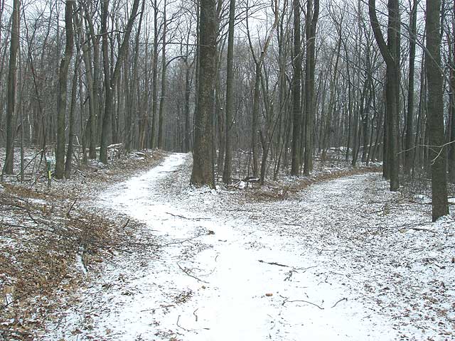
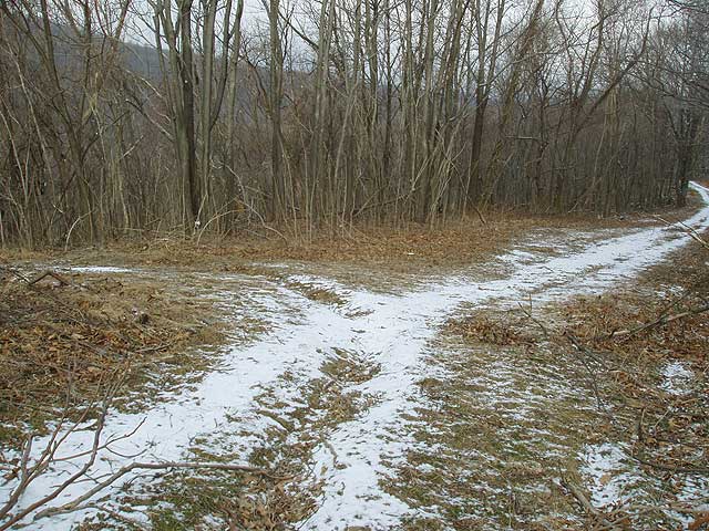
Continue straight (which now becomes the AT) for 1.2 mile
where the trail branches,
stay left on the white blazed AT until crossing
the Lake Trail in another .3 miles.
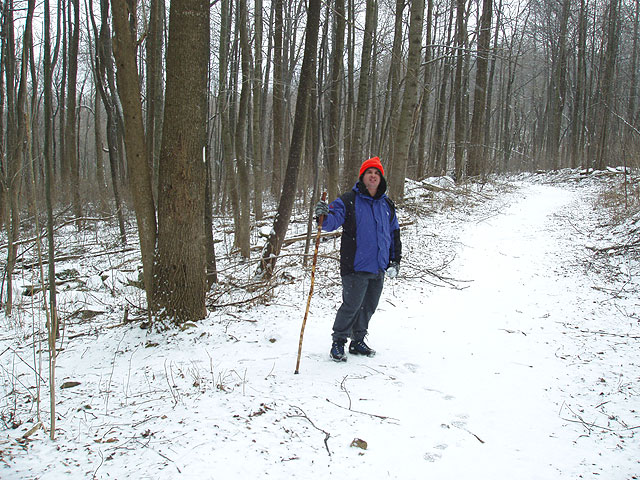
Turn left on the VST (the AT is part of this)
and in 70 yards the AT will turn to your
right. Continue
straight on the VST for 1.2 miles as it winds
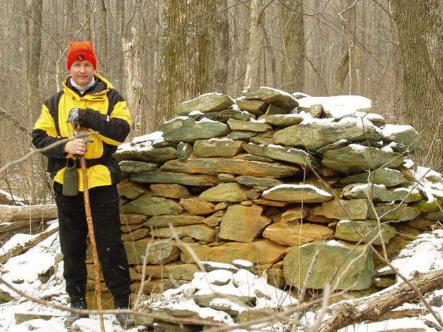
around Wildcat Hollow before passing some
ruins and a small trail on your
left. Continue straight
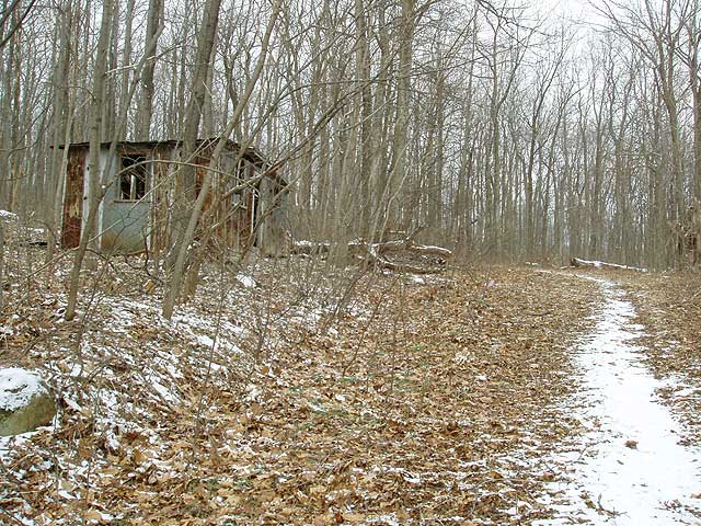
on the VST for another .7 miles where it reaches a small
shed and intersects a dirt road.
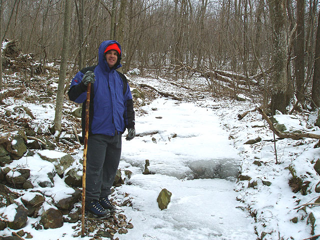
Turn right on the dirt road for .1 miles until the road
branches, veer left as you continue downhill for another
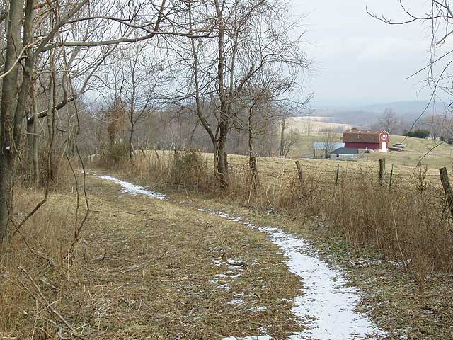
.9 miles. This section of the trail runs
alongside a fence and private property as it descends the
mountain.
A trail will intersect
from the left (private property with a red barn on your
right). Turn left downhill for 100 yards. Then turn right at
the four way trail junction.
In 150 yards, you will arrive back at
Thompson Lake. Continue straight back to the parking lot.
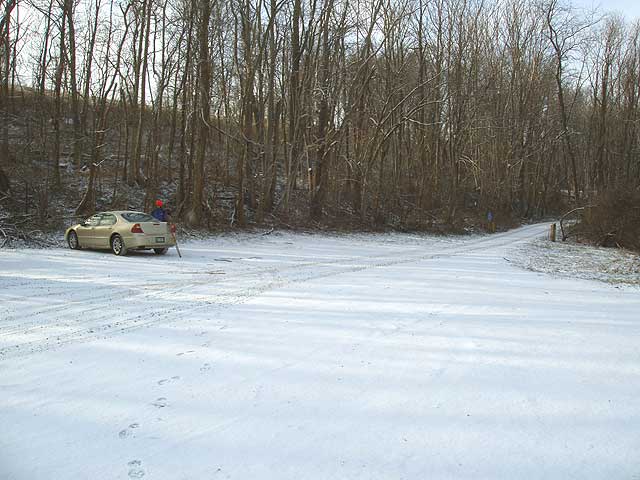
Late July
Mid January
GRT Wildlife Management Area Hike Comments
Archived Comments
By:Muddy Moose
Rating:
Date of Hike: Sunday, April 26, 2015
First of all, never had to pay a fee to hike here also there is many parking spots to access this area. Yes, there is a sign that says you need a fishing, hunting or boating licenses which helps fund the place, but no front person asking any money. Funny thing, there is no donate box that I can find...
Anyways back to the hiking! I went today with a group of people from Sunday Funday Hiking Group in Front Royal. We did the full loop but parked a car at Ted Lower parking lot if we wanted to switch things up. We never encounter any knee deep mud like others talked about (even yesterday rain storm), also the parking lot (lake) is big compared to other locations. The Trillium trail was blooming and seen a lot of trillium on the AT too. We also found morel mushrooms throughout our hike :)
The trails need a little work on but most of the trails were at some point logging roads back in the day. Little trails here and there from deer and hunters, so keep an eye on your map. Some trees are on the trail but not much, I counted about three. Didn't see any weeds up to my chest then again it's April.
By:Katie Brainerd
Rating:
Date of Hike: Friday, April 10, 2015
Such a crappy place!! All these trees everywhere and mud up to my knees!! I'm 5 feet and I almost drowned in the mud. Plus parking was terrible. I recommend NOT to attend😡😤
By:Ellen and Tim
Rating:
Date of Hike: Sunday, January 12, 2014
There is no hunting on Sundays.
Hunting schedule is here: http://www.dgif.virginia.gov/wmas/seasons/seasons-thompson-wma.pdf
We have been hiking Thompson for years. One of our favorite hikes. We amp it up a bit by turning right on the AT and hiking down to a small trail that leads back to the main trail that comes up from the lake, so we are doing a loop that adds some mileage and also takes us up that climb twice.
Today was clear, only slightly chilly. Beautiful day to hike. Some parts of the trail up from the lake and the AT in between the two fire roads were in bad shape due to downed trees/limbs. The wind storm apparently snapped off the tops of many trees and brought down lots of limbs. We spent a fair amount of time climbing over this stuff or, in some cases, bushwhacking around it. Still loved this hike anyway.
By:GinaLo
Rating:
Date of Hike: Saturday, August 31, 2013
This is a fee area, which we paid online before heading out to the hike. The parking area is not marked from the road, but we did not have too much trouble locating it. The lake was full, and we saw one fisherman. All started well, but ended quickly. The trails are not kept up at all at this time of year, weeds up to your waist and chest at some places. Not fun nor comfortable for us or our dog. We only made it about 30 minutes before deciding to turn around when conditions did not improve. The trails are more suited for hunting in full coverage clothing, in the fall/winter, not hiking in late summer. Not impressed that we used a paid area with worse trail maintenance than any of the other (20+) hikes in the area we have tried.
By:Hans und Heidi
Rating:
Date of Hike: Thursday, April 5, 2012
This is a "fee area" now. You must have a license to hunt, fish or boat in Va. or you can call 866-721-6911 or go online to wildlife.virginia.gov to get a pass to hike here. Hardly worth it as we think there are more scenic places to go. We found the woodlands here not so pretty. The trails have many wildflowers and we came for the trilliums, but they have barely begun to come up yet. In two weeks they should be in full bloom.
Also the sign on the road is down, so if you don't know this place look for the lake on the left just before the car park entrance.
In previous reviews the lake was leaking dry, but now it is fulled up and stocked with trouts. We saw many trouts swimming about and several fishermen but the fishes were doing a smart job of avoiding the fishermen.
By:john applin
Rating:
Date of Hike: Sunday, January 15, 2012
Overall a pretty good hike, dog friendly.Ā First went to grt the last day of hunting season.Ā big mistake.Ā Returned today - serene.Ā Trail appears to be well managed.Ā Evidence of clearing debris from the trail.Ā One suggestion, however, would be for blazes to be painted along the grt trails.Ā The AT was clearly marked, of course.Ā The grt trails were difficult to follow.Ā Getting lost would be easy were it not for following the paths of others who'd gone before, leaving a path through the leaves.Ā
By:John
Rating:
Date of Hike: Sunday, January 15, 2012
This is a good hike for those of us not yet ready for long distance routes.Ā Initially, the trail winds around the back of the mountain behind the lake.Ā You warm up quickly on this stretch.Ā Grades aren't steep, just long.Ā Don't look for any trail blazes as there aren't any.Ā Taking a left onto the AT is comforting for the multitude of blazes. This comfort vanishes with the return to grt trails.Ā I got nervous crossing streams and going through thickets that weren't on the directions.Ā That nervousness increased when I never saw the ruins mentioned in the directions.Ā Again, blazes here would've eased my anxiety.Ā A blue blaze (the only one on the trail) identifying the last third of the trail was overwhelmingly comforting.
Take this hike.Ā Its a good one.Ā Pay more attention to the written directions than the map. They're spot on where the maze of trails on the map I found confusing.
By:Andrew in DC
Rating:
Date of Hike: Saturday, September 3, 2011
We decided to give this trail a try based on its proximity to the city and to I-66. While we enjoyed the hike, and saw only a couple of other hikers during the day, we found the lack of maintenance of the trials greatly impacted our overall enjoyment of this otherwise great woodland hike.
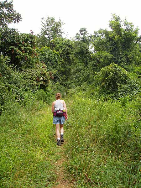
A couple of things to note. First, the lake is no longer there, what is left is more of a stagnant pond. We weren't sure if this was the result of a dry and hot July or of a decision by the park management. Certainly a disappointment to us, and probably more so to the two thru hikers on the AT who wandered down for a swim. Second, as noted on the trail directions, the first 200 yards or so of the trail have multiple trees down over the pathways. As the trees have been down for some time, there is a lot of vines and other plants crowding the trail. The trail is clearly underneath it all, and if you push through the plants and light branches you'll be in the clear in a few hundred yards. In a few more years, this section will likely be impassible without some clearing. That said, once you push through this section, you get to the very best part of the hike.
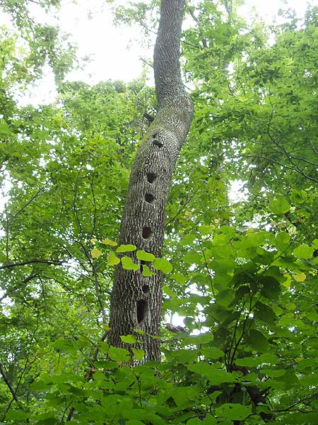
After the downed trees, the trail gradually gains elevation as you approach the AT section. Near the junction with the AT and shortly thereafter, the observant may notice some very interesting trees. Along this section of the trail is a grove over very old Tulip Trees (Liliordenron). One tree was massive with a split trunk that had to be at least 6 feet or more in diameter, as such it has probably been around for a few centuries. There are other large, fine specimens of Tulip Tree along the trail, with a very large, now deceased giant right along the trail. This was a great surprise and a very memorable part of the trip.
Following the downed trees and through the AT section of the hike is the highlight of this circuit. After turning off onto the Vernon Smith Trail (VST) the trail, like the terrain, begins to go down hill rather quickly. From this point on the trail does not appear to be maintained at all. We waded through growth the ranged from a ankle to shoulder hight and consisted of everything from soft grasses, to lots of wild raspberry and rose. In addition to some very minor scratches, we spent a good portion of this hike thinking about ticks (which thanks to the dampness and DEET did not turn out to be a problem). While we never had to go more than about 50 yards without a clear trail to follow, the growth makes long pants a must.
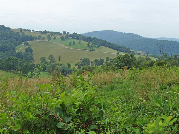
The trail will take you to the very edges of the park where you will be provided with nice views of horse farms and vineyards, but also areas where land owners are clear cut their property for whatever reason. This was a reminder as to how quickly the development is pushing up against the first range of peaks to our west and made us thankful of preservation efforts to protect areas like the GRT Wildlife Park.
That said, due to the growth I would recommend this hike as one that is best done after a fall frost has killed of the trail growth. If you go in the summer, long pants would be worth considering. That said, despite the variable conditions, the AT section and the grove of ancient Tulip Trees made this a worthwhile hike. A little trail maintenance would make it one we would do on a more regular basis.
By:Jayne Hiking Addict
Rating:
Date of Hike: Wednesday, August 3, 2011
8 PATC Wednesday hikers were here today.Ā It was the perfect hike to sneek in before the rains.Ā We finished in about 3 hours. ĀDriving directions are spot on.Ā I suggest you watch the mileage after you get off I-66.Ā It is NOT the first well marked parking lot.Ā At 3.9 miles watch closely for a sharp left turn.Ā There was NOT a sign and I could not see the parking lot from the road but it's there.Ā Trail Directions are also accurate.Ā At the last turn off the AT you'll be happier if you've worn long pants as some of the brush is over 5'.ĀNext time you have a free Wednesday consider joining us http://www.patc.net/PublicView/
By:LarryP
Rating:
Date of Hike: Sunday, February 20, 2011
We hiked this circuit on a Sunday, so there was no hunting activity.Ā The first part of the hike going up from the lake was difficult because of all of the blow downs.Ā We had to do a lot of bushwhacking to get around them.Ā The trail was also fairly overgrown - I think it might be nearly impassable in places when the vegetation comes out in the spring.Ā Once we got on the AT, though, the trail was very nicely maintained, and we really enjoyed ourselves.Ā We only encountered a few people on the trail, so we really felt like we had the place all to ourselves.ĀĀ I think this is a good hike to do after hunting season and before everything starts sprouting in the spring.


