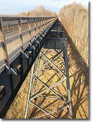
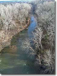
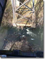
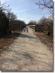
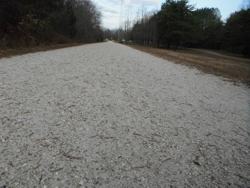
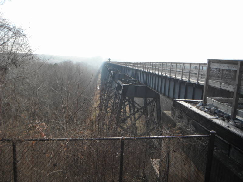
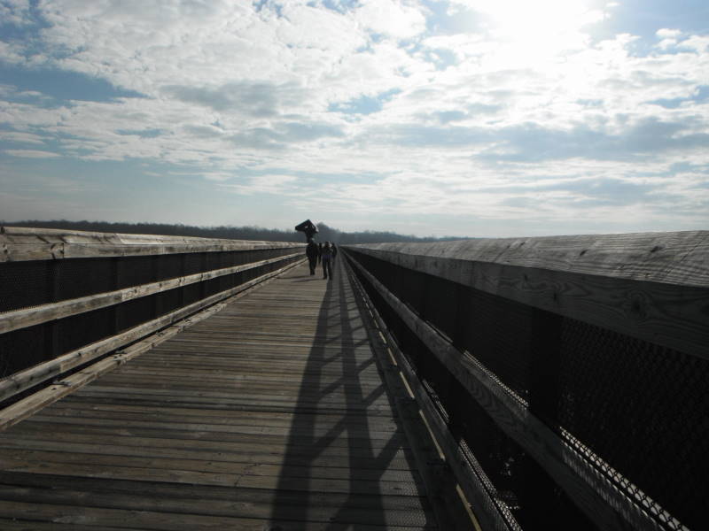
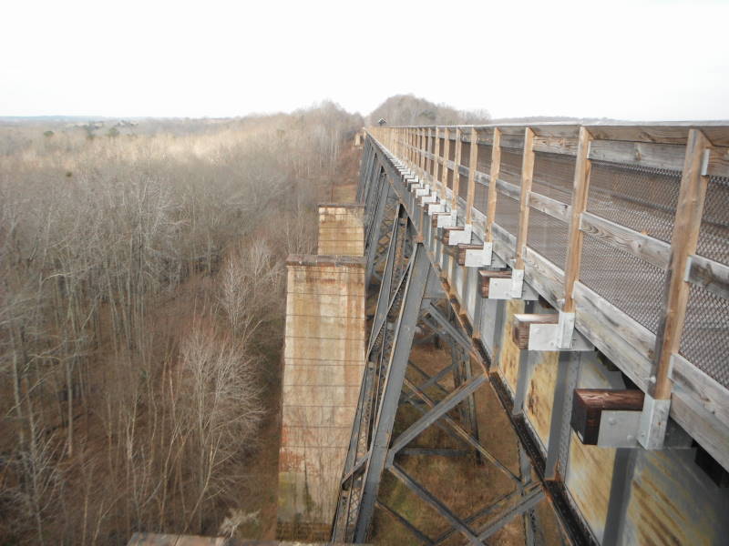
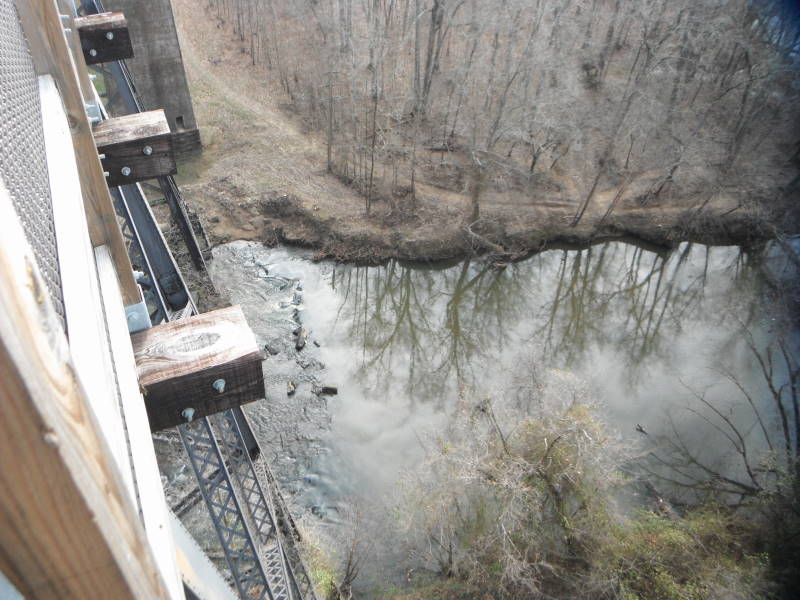
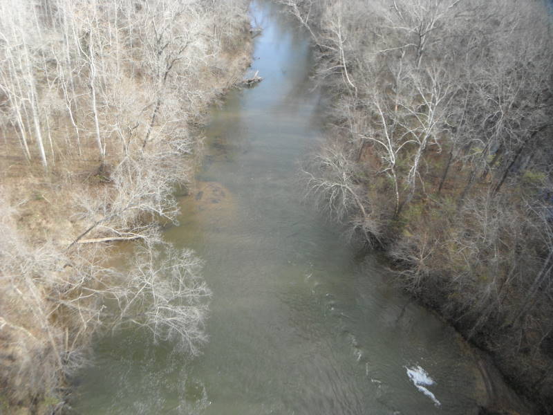
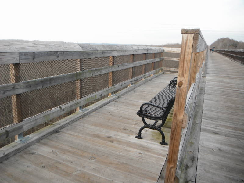
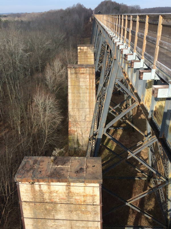
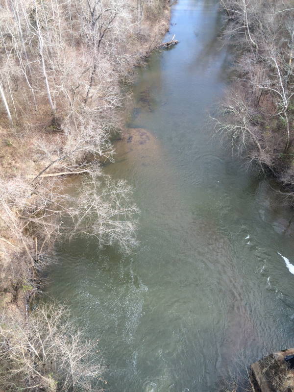
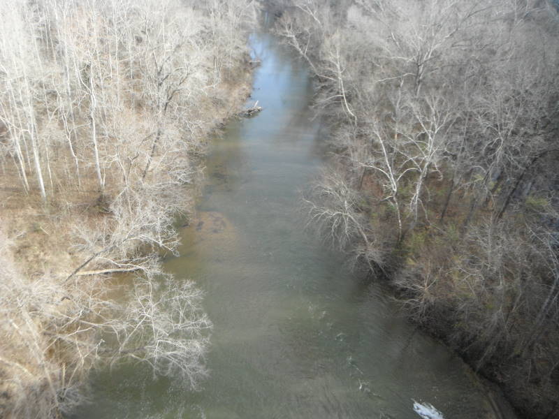
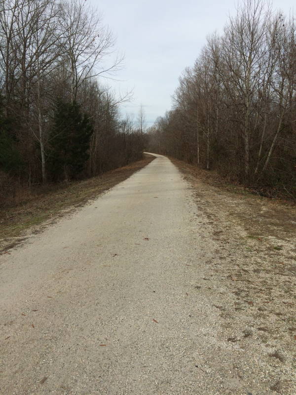
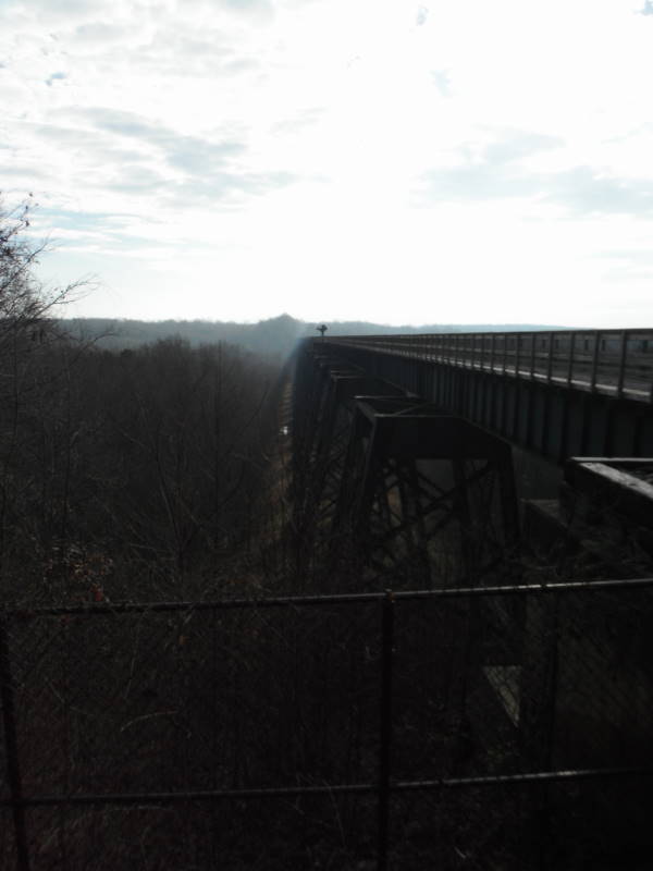
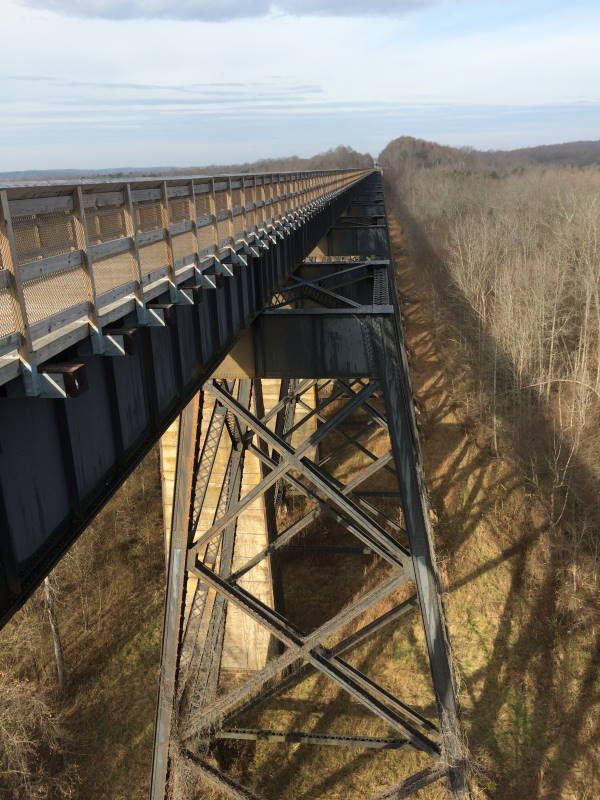
From the State Park website: “High Bridge Trail is 31 miles long and ideally suited for hiking, bicycling and horseback riding. Once a rail bed, the trail is wide, level and generally flat. Its finely crushed limestone surface and dimensions make it easy to enjoy. The park’s centerpiece is the majestic High Bridge, which is more than 2,400 feet long and 125 feet above the Appomattox River.
High Bridge is the longest recreational bridge in Virginia, and among the longest in the United States. High Bridge, a Virginia Historic Landmark, is on the National Register of Historic Places. The trail is a National Recreation Trail recognizing exemplary trails of local and regional significance, connecting people to nature, to each other, and to our shared history and culture. Bring drinking water because none is available on the trail.”
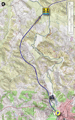
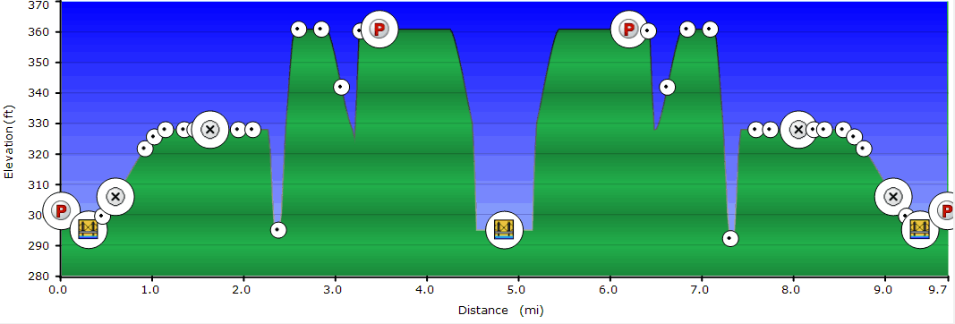
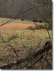
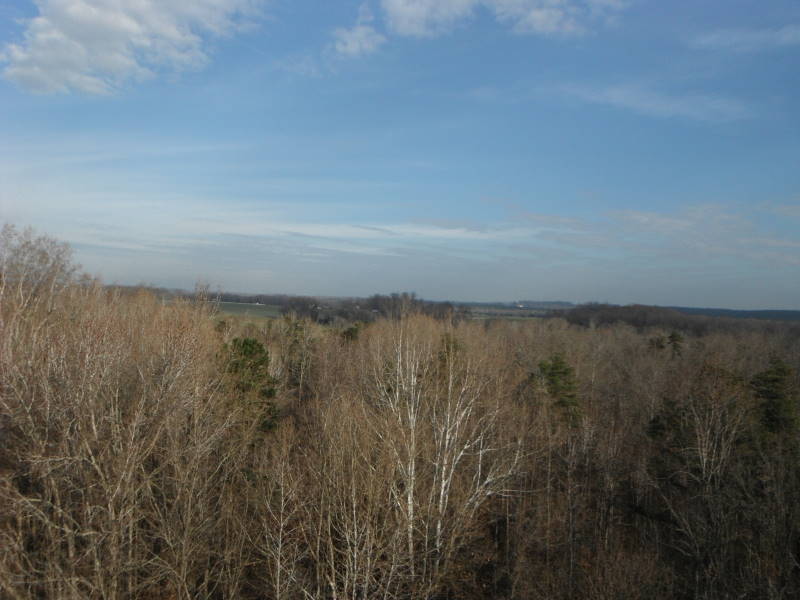
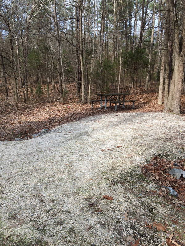
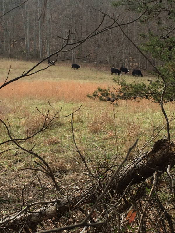
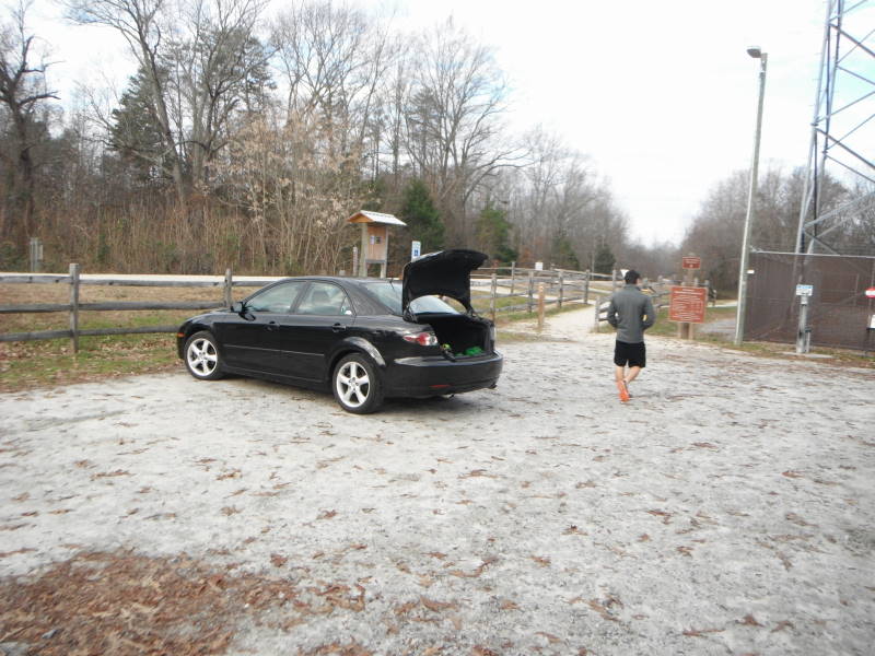
We hiked the Farmville to High Bridge section of the trail as an out and back. There is plenty of on street parking and other public parking close to the start of the trail. This trail is a very flat trail with no noticeable elevation change. The surface of the trail is packed hard so wear comfortable shoes. I normally take hiking poles but did not use them on this hike. The trail is exposed in many areas so wear a hat. The trail passes through wooded areas and pastures on the way to High Bridge. You will most likely run into more bikers than hikers.
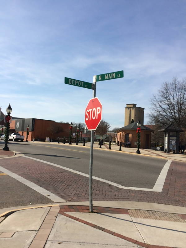
Mile 0.0 – The trail begins at the intersection of Main and Depot Streets and heads east towards the Appomattox River.
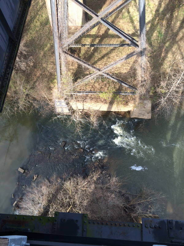
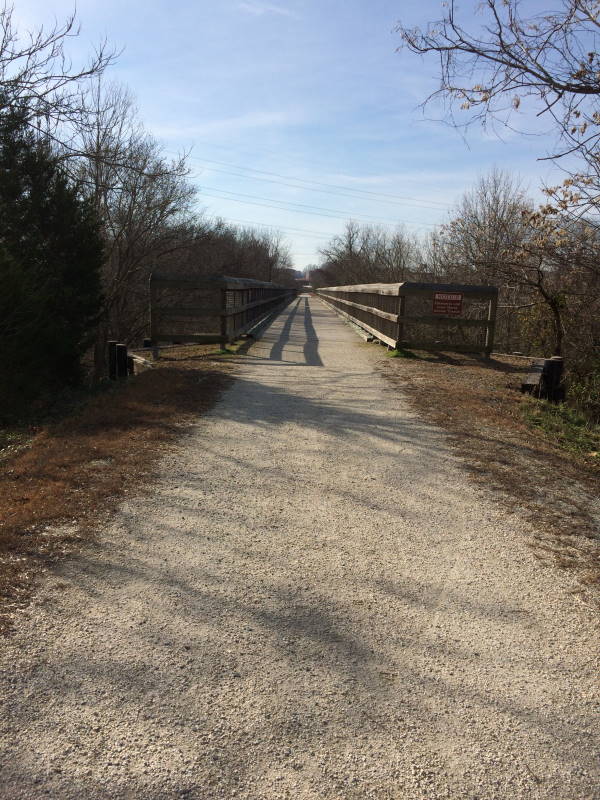
Mile 0.3 – Reach the Appomattox River, cross over the bridge which also crosses Route 600.
Mile 0.6 – Osborne Road
Mile 1.6 – Burke Road
Mile 3.5 – River Road Parking area, fee required. This is an alternative parking area if you just want to see High Bridge or don't have enough time to hike the out and back. From River Road to High Bridge is about 1 mile.
We actually rode our bikes on the High Bridge Trail. The bridge itself is the only real high point, but it was good exercise!
By:Rick & Martha
Rating:
Date of Hike: Saturday, December 12, 2015
We enjoyed the hike as more of a nice, loooong nature walk than our typical hike over hilly terrain. It being in the 70s was a plus. Because it is so flat and straight-ish, with not too much in the way of views until you get to the spectacular bridge, we found it a bit boring, but still worth it. The next time we're in the Farmville area, however, I would like to go across the bridge again, but I'd park in the River Road lot. (Cautionary note: In winter, you don't want to be lured into Charley's Restaurant in Farmville for lunch before you set out, because it was dark by the time we got back!)


