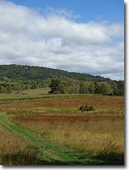
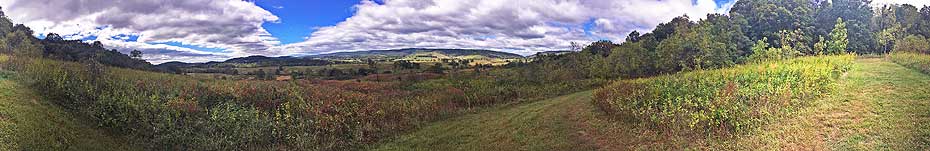
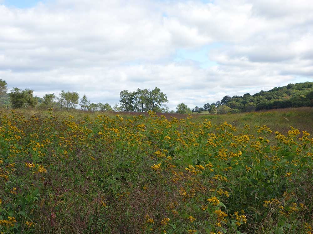
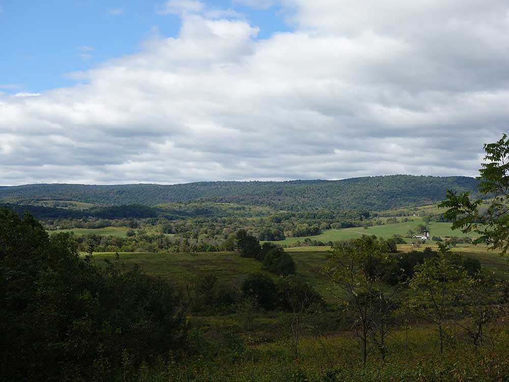
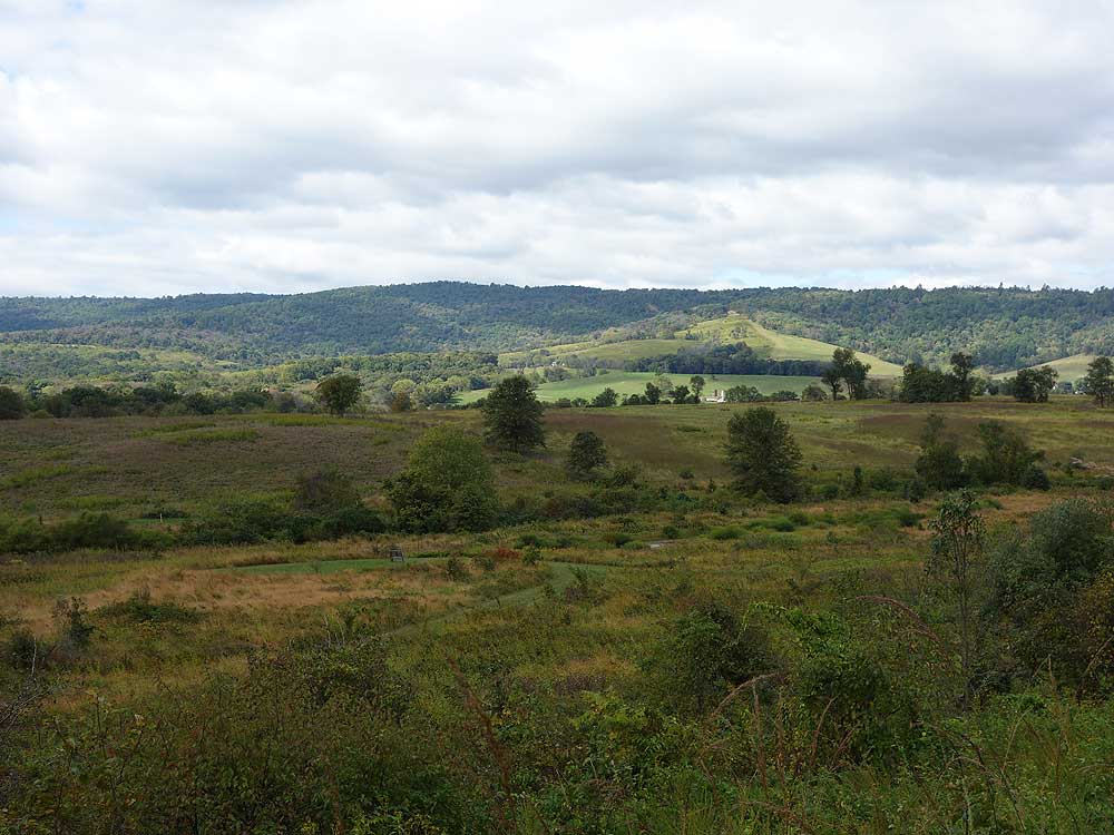
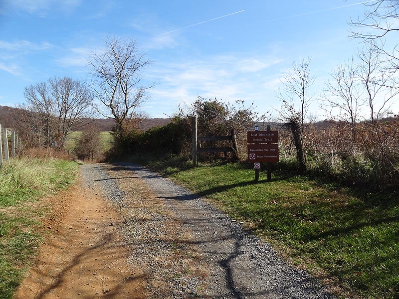
Sky Meadows Farms/Lost Mountain is the equestrian section in Sky Meadows on the eastern side of VA17. What many people are not aware of is this area of the park is also accessible to hikers, and has over 7 miles of trails that pass ponds, through fields, and has a beautiful westerly overlook on Lost Mountain. Also make sure to check out the many events the park has to offer. From astronomy, to hikes and camp outs, Sky Meadows has something for everyone!
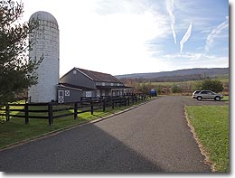
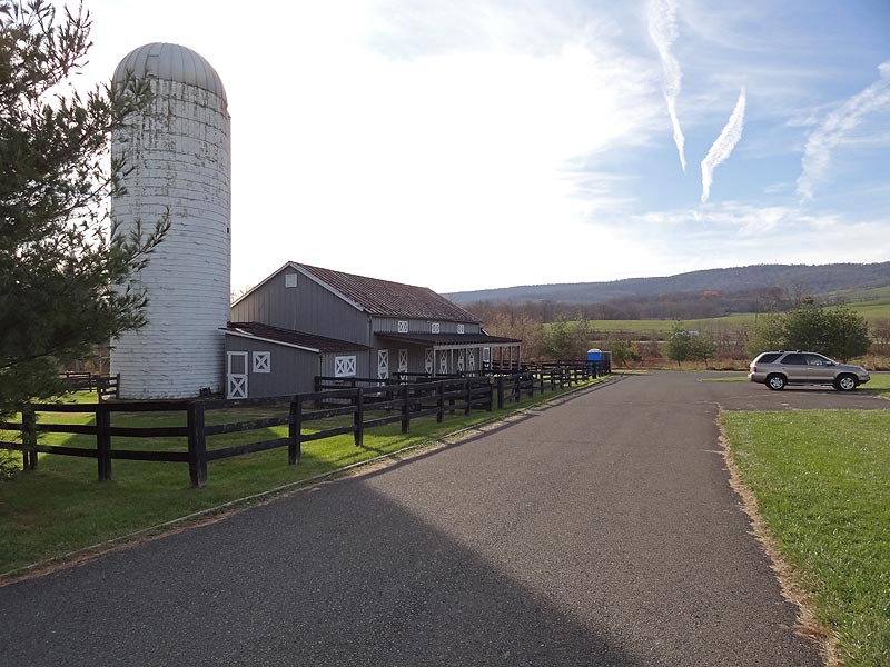
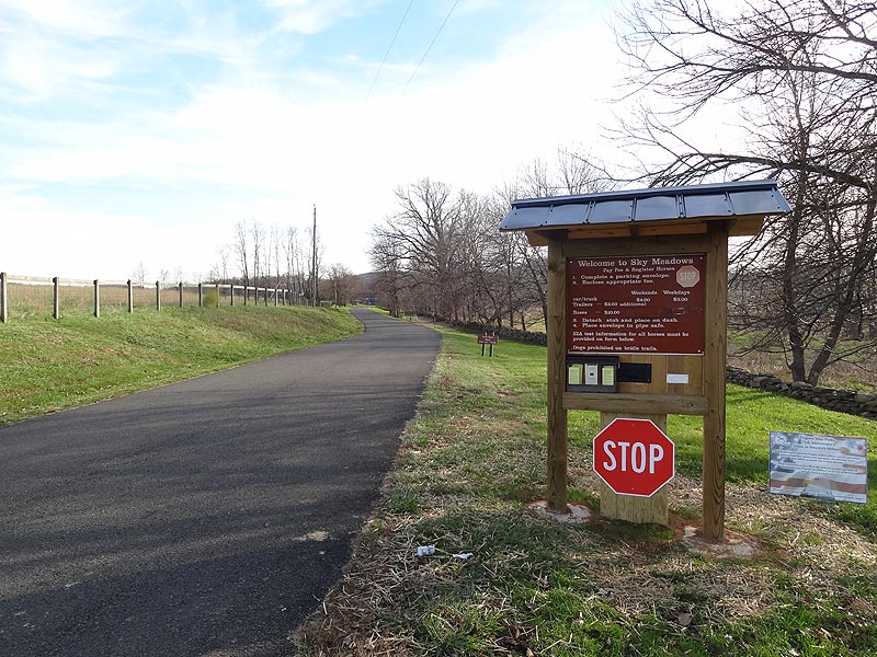
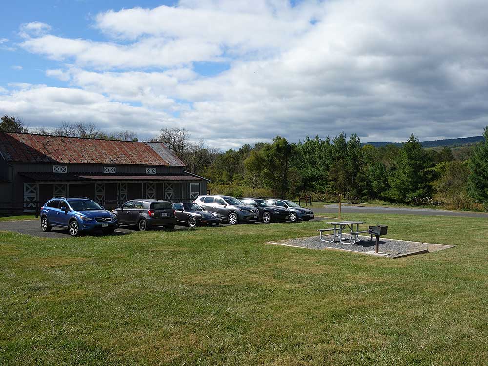
Stop at the kiosk when entering the park and pay the small entrance fee. Parking is located in the area in front of the barns. Please do not park in the top larger lot as these spaces are reserved for horse trailers.
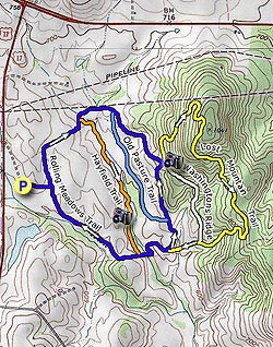
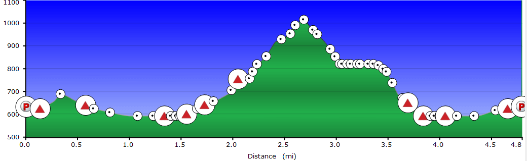
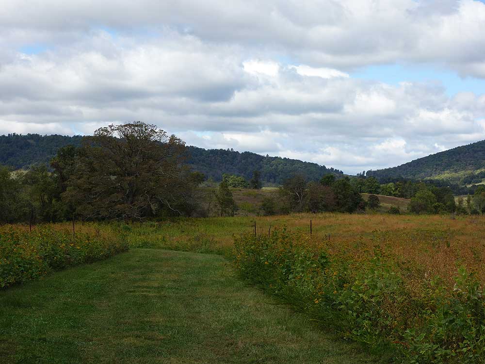
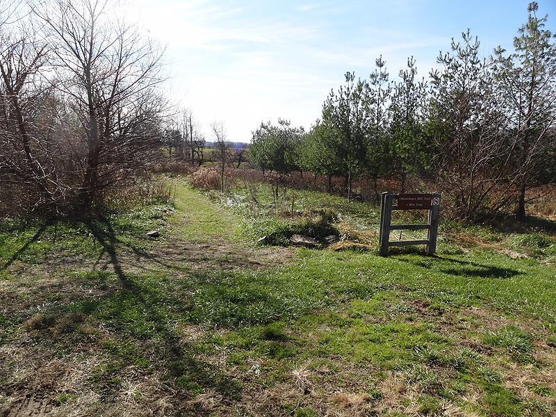
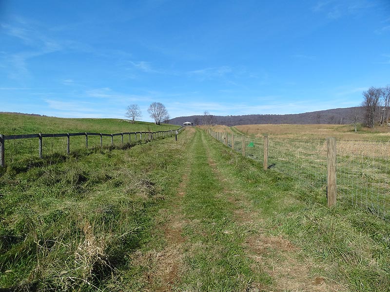
The trails are not blazed, but each intersection is well marked with trail sign posts. The hike directions here are for a 5.2 mile double loop, but as most trails are interconnecting many combinations of hikes can be made.
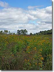
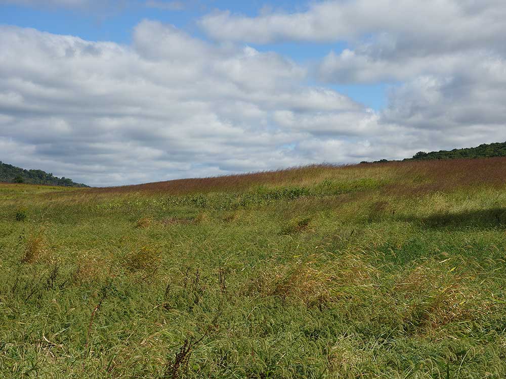
Turn right on the Hayfield Trail where it enters another field and soon follows a stream. Notice a bench across the stream at the midpoint, the bench is located above the migratory duck ponds that are not visible from the Hayfield Trail. The bench is accessible from the Old Pasture Trail.
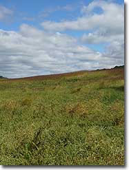
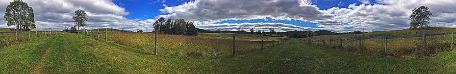
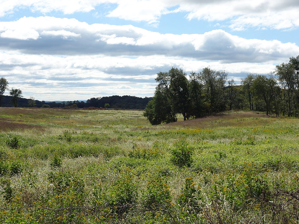
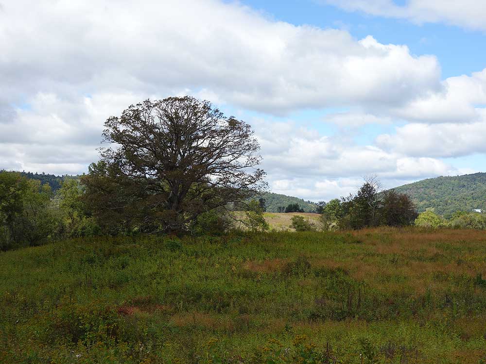
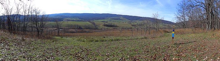
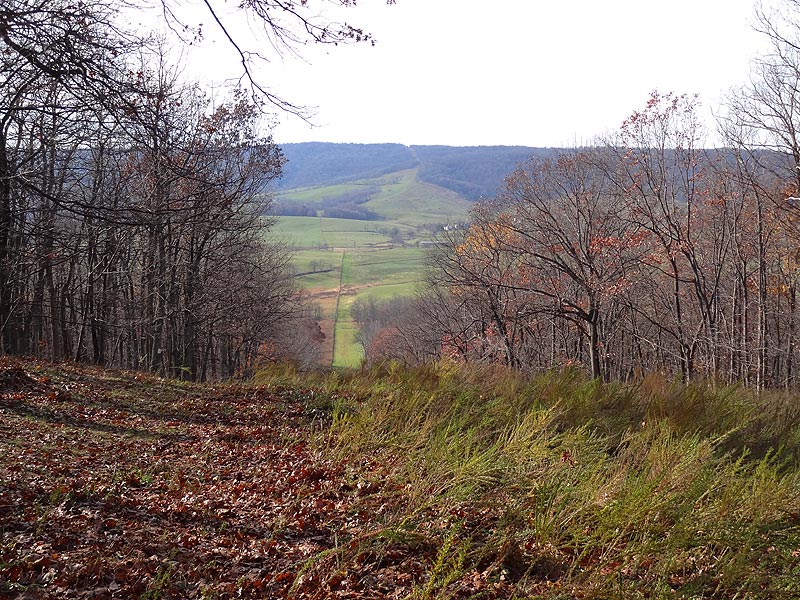
Turn left where the Hayfield Trail ends at the Rolling Meadows Trail, then shortly cross a small stream. The Rolling Meadows Trail will wind thought the upper meadow before passing the southern end of the Lost Mountain Trail. Continue on the Rolling Meadows Trail, pass the Old Pasture Trail, then arrive at the four way intersection of the Lost Mountain Trail and Washington's Ridge Trail.
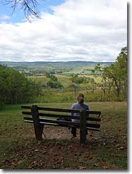
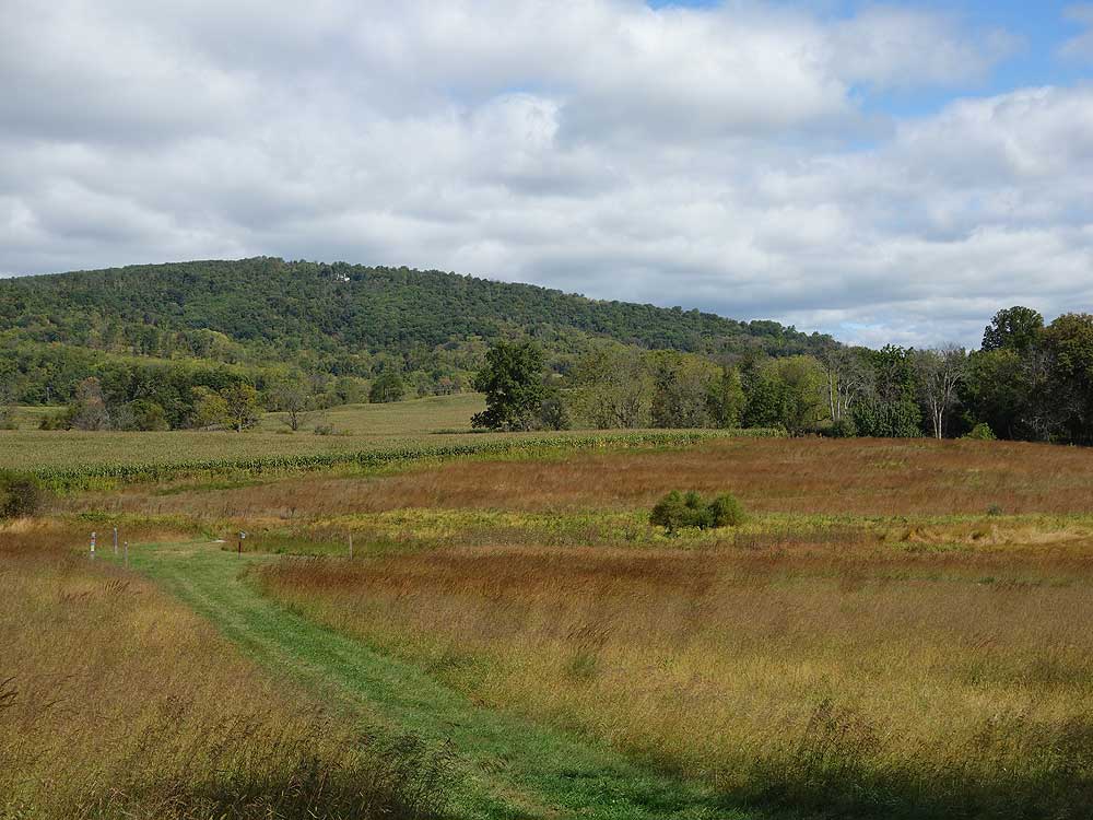
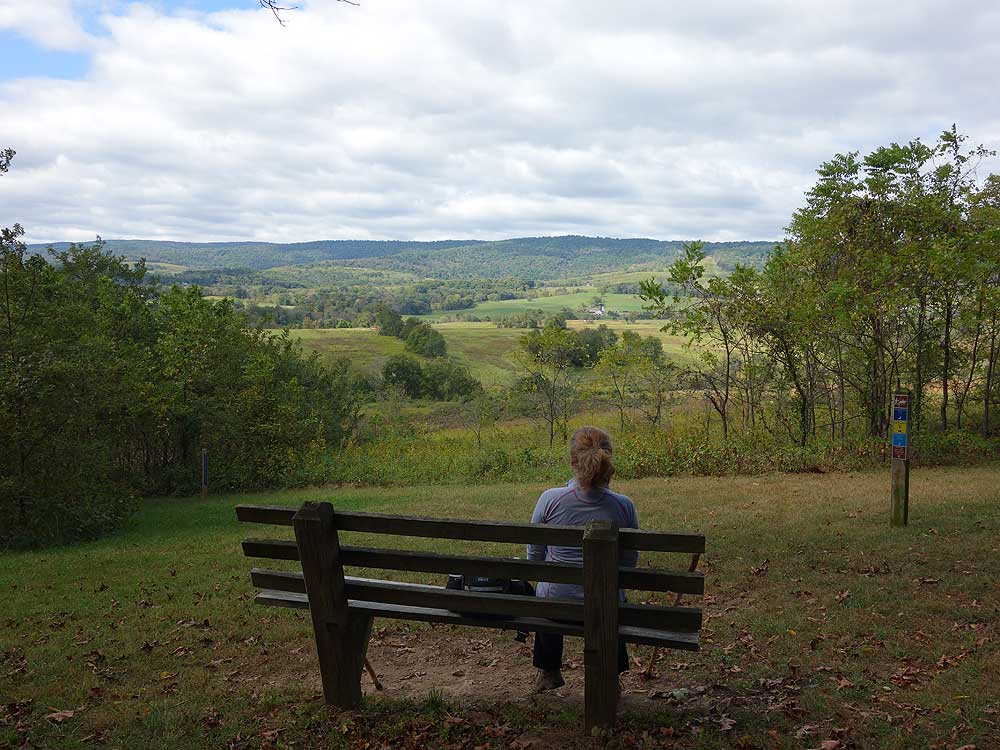
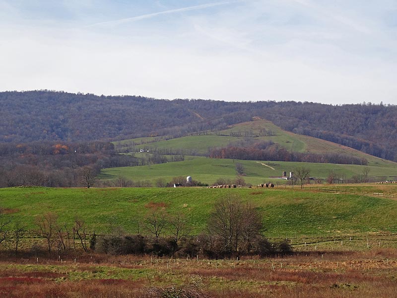
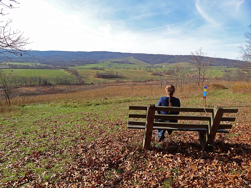
There is a bench at the intersection with a great view to the west and main section of the Sky Meadows Park.
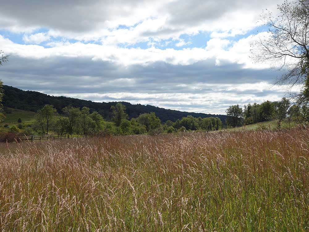
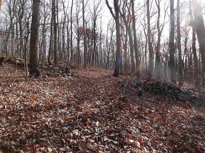
Note: The hike now continues uphill on the narrower Lost Mountain Trail. If doing this hike in the fall or winter the trail is unblazed and difficult to follow with leaves on the ground.
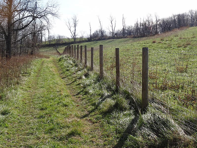
Follow the Lost Mountain Trail as it enters the woods climbing the ridge. The trail will enter a utility clear cut for 25 yards before re-entering the woods and following the ridge. Pass through several small gullies then head downhill and passing the intersection of the Washington's Ridge Trail.
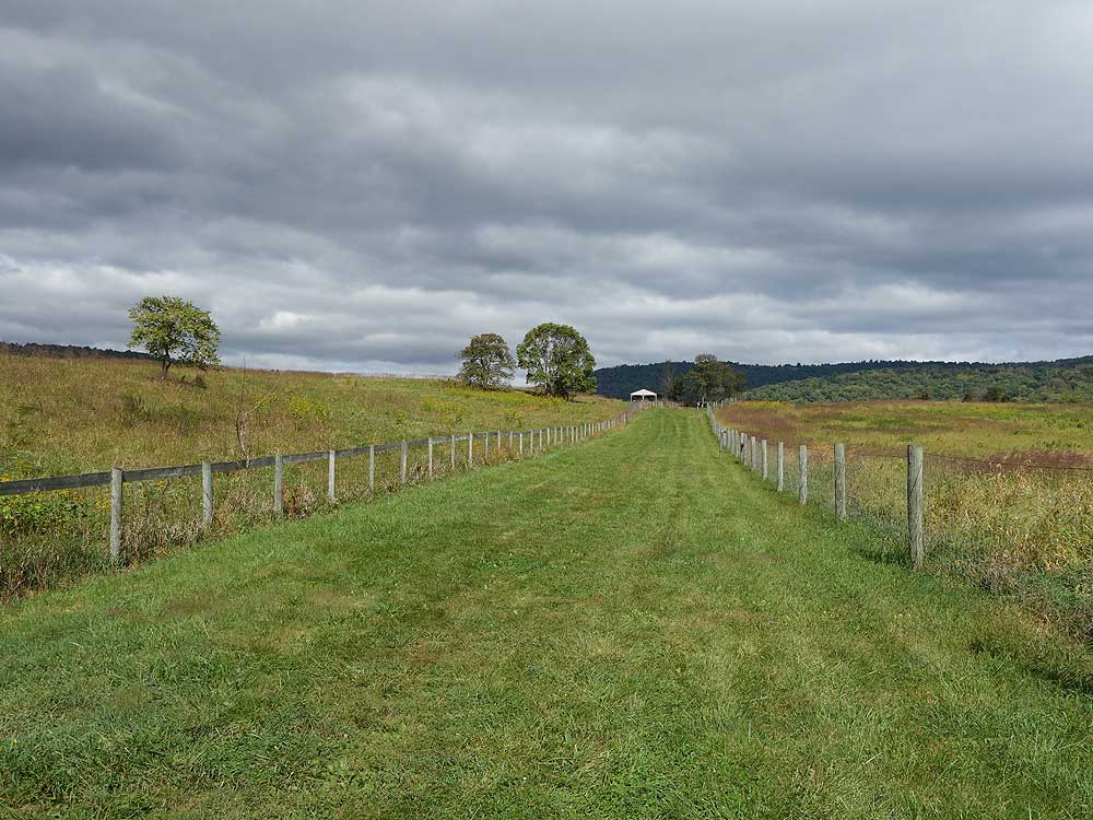
Shortly after passing the Washington's Ridge Trail arrive back at the intersection of the Rolling Meadows Trail. Turn left and follow the Rolling Meadows Trail, re-crossing the stream, passing the intersection of the Hayfield Trail, then in 0.6 miles arriving back at the beginning of the loop and connector trail to the parking area.
Virginia State Parks, Sky Meadows State Park Guide:
In 1731, James Ball purchased from Lord Fairfax a 7,883-acre tract on the east side of the Blue Ridge, south of Ashby’s Gap. Ball died in 1754, and his land was divided among his daughter and five grandsons. John Edmonds purchased James Ball’s land from one of Ball’s grandsons in 1780. Edmonds then built a 1 1/2. story house, which still stands. He died in 1798, and his land was divided among his five children. Sons Elias and George sold most of their inherited land to Isaac Settle, respected postmaster and tavern-keeper in the nearby village of Paris. In 1812, Isaac Settle built a large brick house and named it “Belle Grove” (located just south of the park) where he and his wife Mary raised three children. In 1842, he sold the Belle Grove farm to his son-in-law Lewis Edmonds, who, a year later, sold 148 acres to Isaac’s son Abner Settle. On his new farm, Abner built the stone portion of what is now the "Mount Bleak” house. By 1850, he had added the frame portion of the house to accommodate himself, wife Mary, their six children, and his father. By 1862, five more children were born to the Settles.
In 1866, because of declining health, Abner Settle sold the Mount Bleak farm to Thomas Glascock. Glascock sold the property in 1868 to George M. Slater, who had been a member of Mosby’s Rangers during the Civil War. Slater and his son owned the farm until they both died in 1923. During the following decades, the land changed hands several times. In 1966 a housing development was planned and the property was divided into 50-acre lots. This scenic area was saved through the actions of Paul Mellon. Virginia State Parks received the 1,132-acre farm as a gift from Mr. Mellon in 1975. After building facilities to accommodate the public, the Commonwealth opened Sky Meadows State Park in 1983.
A 248-acre corridor between the park and U.S. Route 50 containing three miles of the Appalachian Trail was added in 1987.
In 1991, Paul Mellon presented an additional 462-acre tract of land as a gift to the park. The Virginia Outdoor Foundation was active in the acquisition process. The tract, the Lost Mountain Bridle Trail area, contains a parcel of land that was purchased from Lord Fairfax by George Washington. During the 19th and 20th centuries, the land had been farmed by several local families.
Late September
Mid November
Sky Meadows Farms/Lost Mountain Hike Comments
Archived Comments
By:Chris C
Rating:
Date of Hike: Sunday, July 29, 2018
Hiked Dec 22, 2017 with my two adult sons and again on July 29, 2018 with my wife. Very different feel between winter and summer. Both times we went counter-clockwise and headed up lost mountian trail and then hung a right back onto rolling meadows. In general, it's a nice meadow hike, cross a creek, a bit more meadow and then you enter tree line and start up to a ridge (with modest amount of elevation gain), then back down for more meadows back to the parking area. In winter, rolling fields were copper colored grass against a gray sky. Summer was very green hills and fields against a blue sky. Sometimes the nice views are not from the top of a mountain. Did get two ticks in July. Spray up before you go. Peach orchards about two miles away were a good find for pick your own after the July hike.
By:Nice stroll
Rating:
Date of Hike: Saturday, October 28, 2017
We've hiked a number of times across the road at Sky Meadows but opted to try out this area to get away from the crowds on a beautiful fall day. Came across a few people on horseback and gave them leeway to pass they were always pleasant and said hi. We did the entire blue trail and then added the Lost Trail to get up to the ridge. We went counter clockwise, which is the way to go as it got the heart going in some areas but would have been much tougher and steeper coming the other way. Views were pretty much only from the intersection in the middle of the area. Loss of leaves helped with increasing views but it was mostly just a walk in the woods. Would be nice to check out on a hot summer day with full tree cover. Trail is nice and wide so we could walk side by side most the way.
By:Dan
Rating:
Date of Hike: Monday, March 20, 2017
This is a very pleasant hike, but the views do not merit a 5. It's more like a 3. That said, meandering through fields, pastures and woods does have its own appeal, and the climb up Lost Mountain will definitely get your heart going. No navigational difficulties on this one. Just be sure to take along a copy of the topographical map and you'll be fine. After completing the hike, reflect on your trek at one of the nearby wineries!
By:Amanda
Rating:
Date of Hike: Tuesday, February 14, 2017
Really lovely hike. Nice mix of rolling VA countryside and woods with some great views. It is a little misleading at first, as the section through the fields is a nice stroll. But once you hit Lost Mountain it is a proper hike. Not technical and not as steep or rigorous as the Roller Coaster on the AT, but you're definitely getting a work out! I would say the time listed is pretty accurate. The friend I was hiking with is a little slow due to some physical issues, but we were not too far over the 2.5 hours. A nice hike for everyone! Looking forward to visiting in the spring.
By:Steve
Rating:
Date of Hike: Wednesday, September 21, 2016
I think this hike is more properly called Sky Meadows State Park -- Lost Mountain, to distinguish it from what I call the main portion of the park, Sky Meadows State Park -- Blue Ridge. It's all Sky Meadows State Park. There are other sections of the park, too, including Turner Pond. See the park trail guide for more details: http://www.dcr.virginia.gov/state-parks/document/data/trail-guide-skymeadows.pdf
Anyway, this is a very nice hike, A great shorter high of lower intensity, that can be made shorter. I had some pleasant chats with equestrians. They say they appreciate hikers making a little noise if they notice horses approaching so the horses are not spooked by suddenly encountering hikers. The hike is through a mix of meadow and forest with great views of the Blue Ridge portion of the park. If you're lucky you will run into one of the exceptional rangers as I did, and greatly increase your knowledge of the area. There is an admission fee for the park ($4 during weekdays as of this writing -- $5 weekends), but that is for the whole park so when you are done with this you can explore the other areas including the visitor center, where you'll find restrooms, water, and a Pepsi machine (it's out of sight in one of the storage buildings). And, of course, more trails as your time permits.
By:Dave_M
Rating:
Date of Hike: Monday, September 5, 2016
Great hike! Took a few beginners and they had no issues. The park ranger was VERY helpful (Thank you, Katie). Cost to park was $5. As it was Labor Day Weekend, it was busy, but not crazy.
Definitely check in at the Visitor's Center & small store. The ranger will help you find the best hike for your group. In our case, she switched things slightly, so we could enjoy shade on the uphill.
The trails are very well maintained. At each intersection, not only are there very clear signs with mileage, but commonly nice benches to relax.
Bring a camera as there are some great view.s
By:Teresa
Rating:
Date of Hike: Sunday, April 12, 2015
I was dubious of the high "views" rating for a meadow hike, but it really was beautiful. We went mainly to see birds, and we were not disappointed, despite not getting there until late morning. It helped that it was a beautiful day, sunny, but not hot.
By:Mike G
Rating:
Date of Hike: Sunday, January 12, 2014
Wonderful quick day hike just over an hour door-to-door from DC. Nice mix of open meadows and woods, with views of farm fields and some ridges, as well as a section of trail that runs along a cow pasture for a bit. We did a shortened version of the hike by doing just the main Meadows trail combined with the Lost Mountain Trail. Note that following the loop as we did involves a stream crossing that is definitely a wet boots affair after heavy rains. We found a log bridge about 50 yards north of the trail and crossed there.
Bonus: lots of wineries just down the road for post-walk refreshments.
By:Andrew
Rating:
Date of Hike: Wednesday, October 23, 2013
This was a casual hike through a meadow and some woods. I can understand how there'd be a tick problem in the spring and summer but today was cool enough for them to stay away. Roughly half of the trails cut through tall grass. The hike provided a good view of the valley. It's close to the 'burbs and good for an afternoon. I'll check it out again.
By:Gretchen
Rating:
Date of Hike: Saturday, May 25, 2013
I originally went to hike the Appalachian trail from Sky Meadows, but it was closed for a Strawberry festival. Therefore, I went on the meadow equestrian trails. The signs said watch for ticks and I figured there would be some because it's a horse trail, but there were HUNDREDS. I also discovered I am horribly afraid of them for some reason. Every couple minutes I had to stop to wipe them off my legs and in my hair. There were kids and adults with shorts on so I don't know how they managed. I stripped off my outer clothing after running the rest of the way back and I still found them in my car later! Maybe I will go back sometime to try the Appalachian trail section again, hopefully sans ticks :( They only seemed to be in the meadow sections, however.


