|
| Length |
Difficulty |
Streams |
Views |
Solitude |
Camping |
| 3.4
mls |
 |
 |
 |
|
N/A |
Hiking
Time:
Elev. Gain:
Links:
Resources: |
2.0 hours.
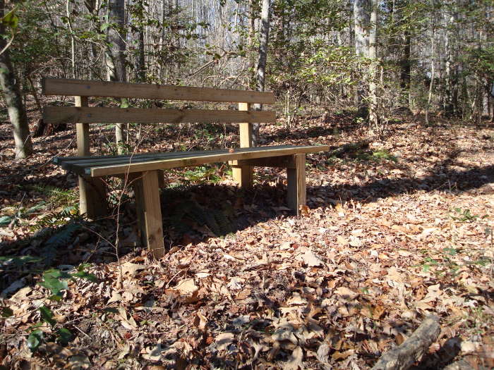
Have lunch at the picnic area
280 ft
 DiscoverRichmond.com DiscoverRichmond.com
Topo Hike Trails Map (PDF)
Eltham Weather Forecast
Garmin (GDB), Gaia/Trails App (GPX) (What's
this?) |
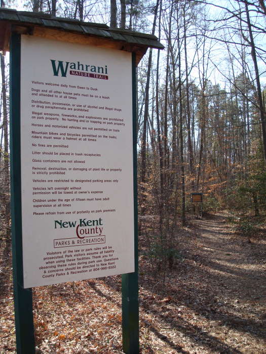
 We did not go to Africa to hike Wahrani but doesn’t it sound like someplace near the Serengeti? According to Nathan Lott’s '60 Hikes Within 60 Miles of Richmond', the trail was originally called: “The Warreneye Nature Trail", in honor of the eighteenth-century Warreneye Church that once stood here. In 2003 New Kent County renamed the area 'Wahrani Nature Park' to reflect the word’s Native American origins. That same spelling is now applied to a swamp south of the park. In their effort to anglicize the indigenous term, colonists also came up with Warrenigh, Warreny, and Warren I.” We did not go to Africa to hike Wahrani but doesn’t it sound like someplace near the Serengeti? According to Nathan Lott’s '60 Hikes Within 60 Miles of Richmond', the trail was originally called: “The Warreneye Nature Trail", in honor of the eighteenth-century Warreneye Church that once stood here. In 2003 New Kent County renamed the area 'Wahrani Nature Park' to reflect the word’s Native American origins. That same spelling is now applied to a swamp south of the park. In their effort to anglicize the indigenous term, colonists also came up with Warrenigh, Warreny, and Warren I.”
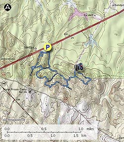
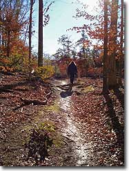
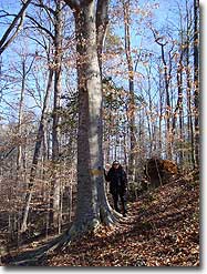
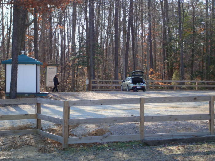
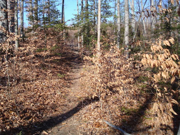
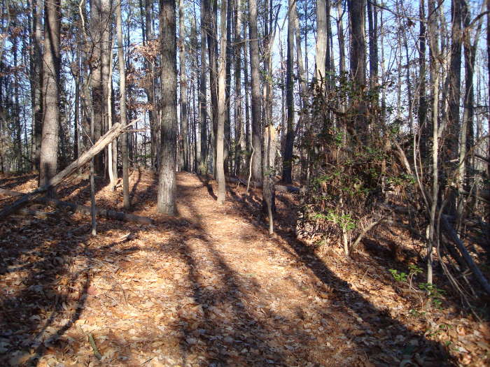
This trail is southeast of Richmond in New Kent County. A great stroll in the woods and ideal for short winter hikes due to its length of just 3.4 miles. There is not much in the way of views as you would experience in the mountains, but we found it a very relaxing hike with some good up and downs.
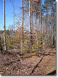
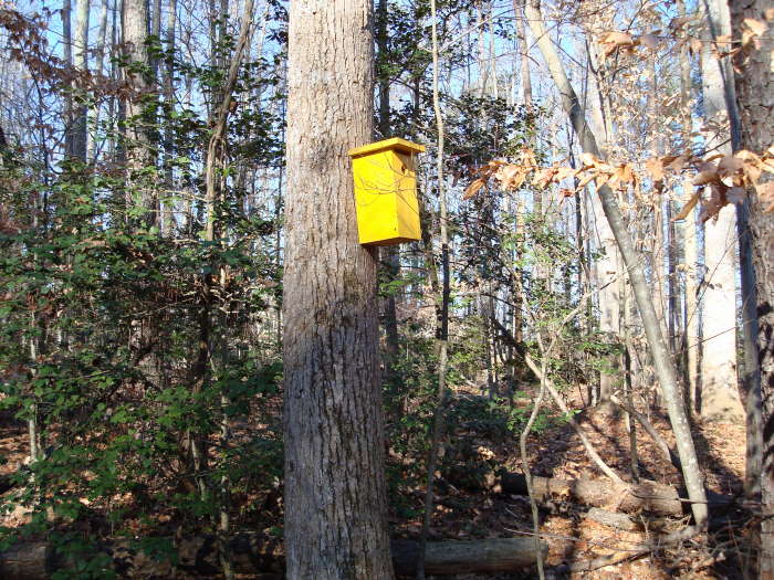
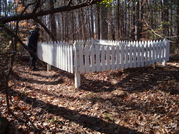
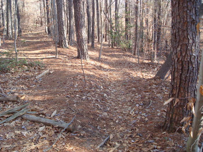
You will do multiple creek crossings passing by groves of loblolly pines, tulip poplars, oak, hickory, dogwoods and various other trees. A summer hike would keep you in the shade most of the time. Do the blue loop trail as there is an old grave of Captain John Long, Age 25, d. 1736, Commander of the ship “John & Mary”. He was from Ramsgate, County of Kent, Great Britain.
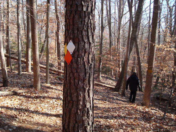
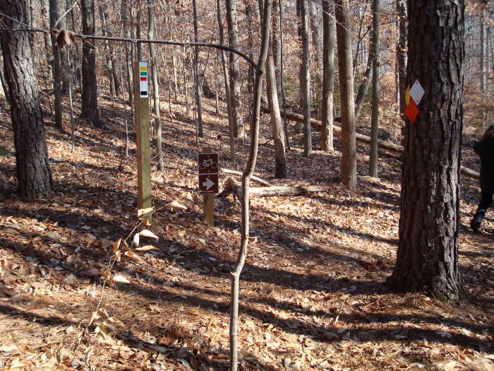
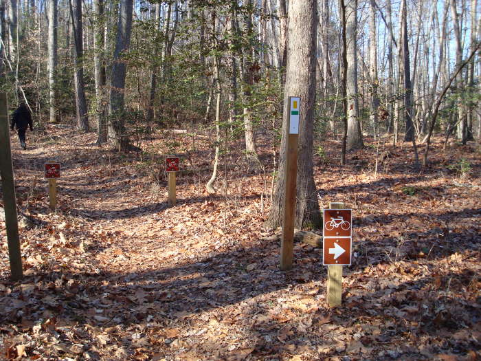
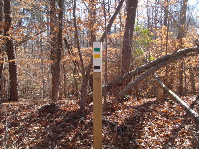
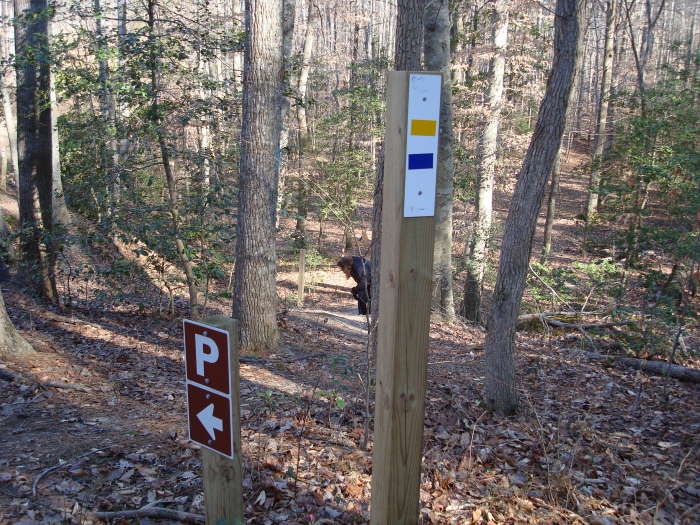
Note: Many of the trail blazes can get a little confusing.
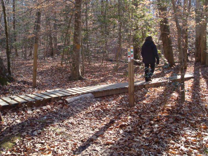
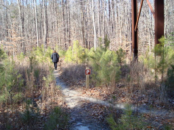
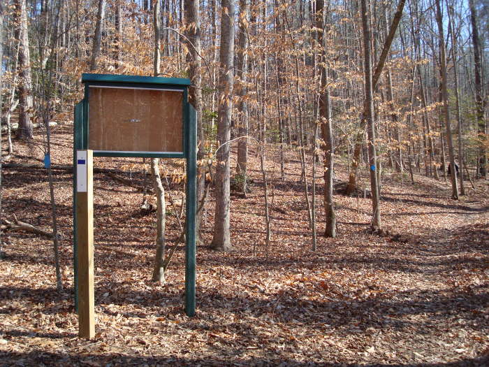
From the parking area, head to the sign with the park rules and bear right. Go about 0.2 miles and then turn right onto the green diamond mountain bike trail. This will parallel VA33 for a few minutes before it starts to climb a little with a few switchbacks. The next intersection in 0.2 miles is the start of many confusing markings. It will look like you want to follow the green blazes to the right, and you will even see some blazes on the trees, but that trail goes nowhere. At this intersection stay straight on the seemingly unmarked trail, do not go to the right!! In about 0.3 miles you will see another trail paralleling the one you are on, do not cross over to it, you will come back to it. Stay on the trail and you will very quickly come to a trail marker pole, bear to the left and then in about 200 feet the trail splits, bear to the right until the next trail marker pole in about 0.1 miles. There are multiple blazes at this intersection, go right and there will be mostly yellow paint blazes on the trees. In 0.1 miles, at the “boardwalk” go right.
The next intersection is in 0.4 miles and it will be on your left, white blazed, ignore it and go straight if you want to see the grave, etc., follow the C trail (straight ahead). If you’re done and want to return to the parking area, follow B (turn left). That 0.5 mile section was described as:
“...an area of one trail where the banks of the trail rose on either side to be nearly 8 feet higher than foot level. It was explained that this part of the trail was once a portion of a road used during the colonial period to go to and from Williamsburg. Over many years the wear and tear of horse, wagon, and foot traffic dug into the earth to create the banks." - Richmond Times Dispatch
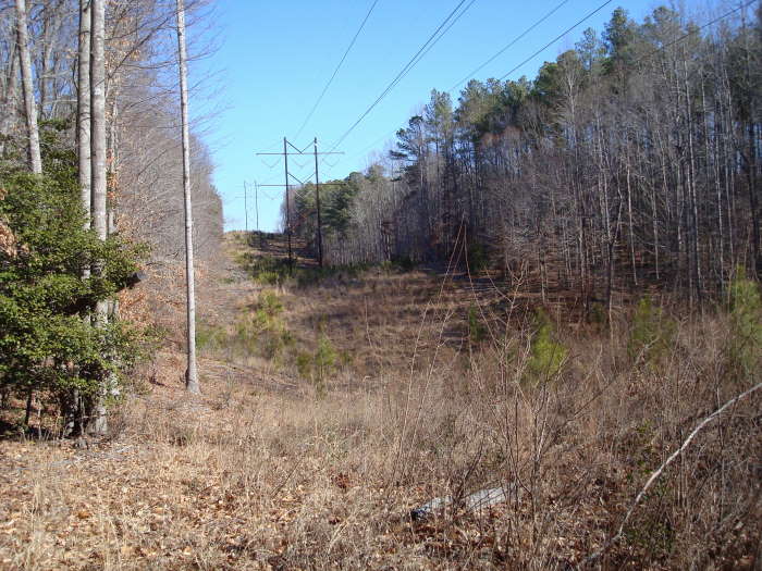
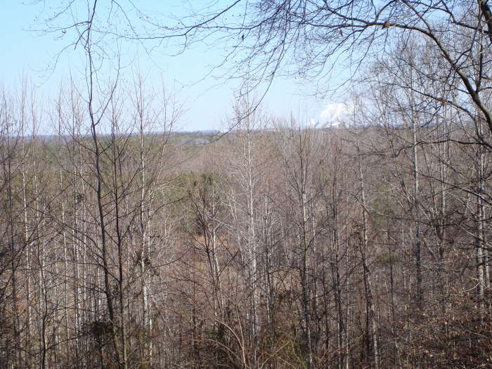
In 0.4 miles pass through a high power Line clearing, and then in about 600 feet come to an intersection with blue blazes, go left onto the blue blazed trail . Go 0.1 miles and take a right at the next intersection, also blue and will lead you to the blue loop trail. The intersection for the blue loop trail will be in 0.2 miles. turn right, the grave of Captain John Long will be on your left in 0.4 miles, with the only overlook on the whole trail is about 0.2 miles past the grave site. Not the greatest view as you will be looking to the North-east towards West Point with its wood factory. The confluence of the Mattaponi and Pamunkey Rivers forms the York River at West Point. It flows for 40 miles until it reaches the Chesapeake Bay.
Continue on the trail for 0.1 miles reaching the start of the blue loop trail intersection and bear to the right. In 0.2 miles you will cross the high power clearing again. Just after the clearing you will come to an intersection with a bike/parking sign pointing to the left, ignore it and go straight on the yellow blazed trail (OK, mostly yellow with some white!!). Ignore the next 2 intersections which have the same bike/parking sign pointing to the left, stay straight and keep bearing to the right. The parking area will be in 0.3 miles from the last intersection.
Final Note: We did our best with these directions and we hope you don’t get lost. We didn’t put up the kaleidoscope of blazes. It’s not a big park so if you do get lost just listen for the cars on Route 33. I read in one blog that some of the problems with the markings are due to the way the Chesapeake Corporation marked it and then when the County took it over they came up with a different way. |


