|
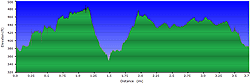
| Length |
Difficulty |
Streams |
Views |
Solitude |
Camping |
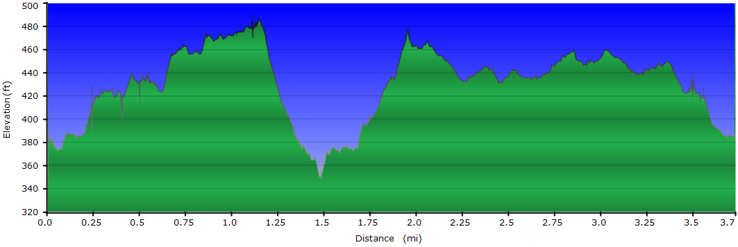
| 3.7
mls |
 |
 |
 |
 |
N/A |
Hiking
Time:
Elev. Gain:
Resources: |
1.5 hours plus a 15 min
for lunch
190 ft
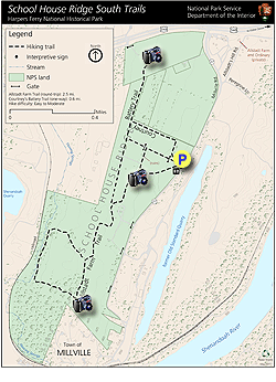
 Topo Hike Trails Map (PDF) Topo Hike Trails Map (PDF)
Millville WV Weather Forecast
Garmin (GDB), Gaia/Trails App (GPX) (What's
this?) |
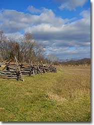
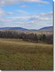
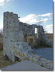
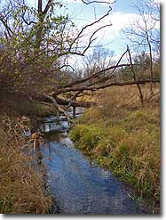
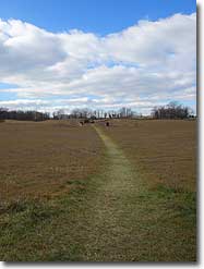
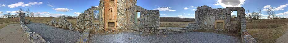
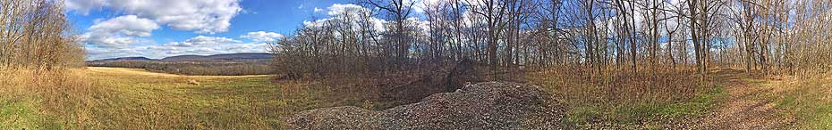
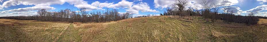
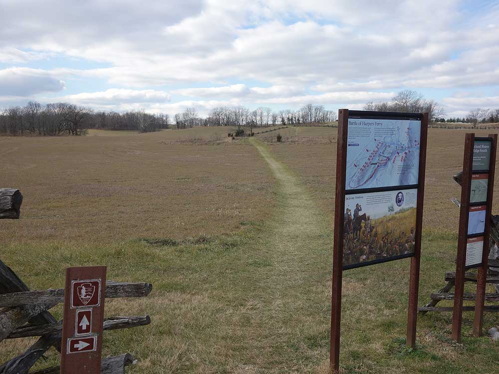
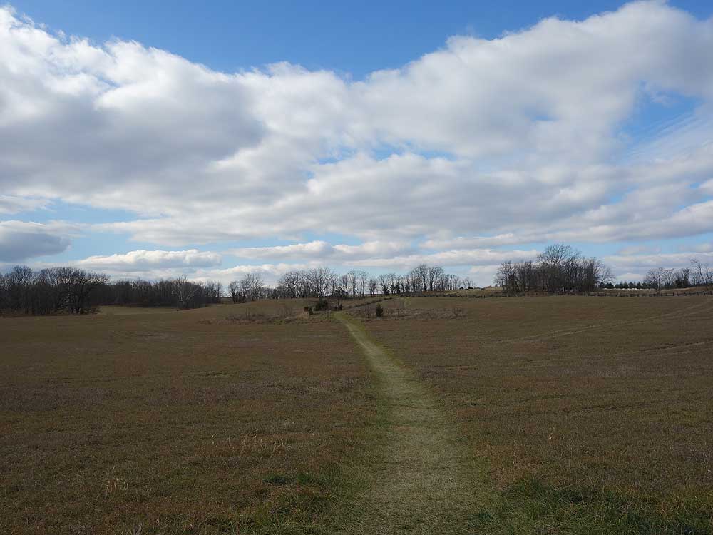
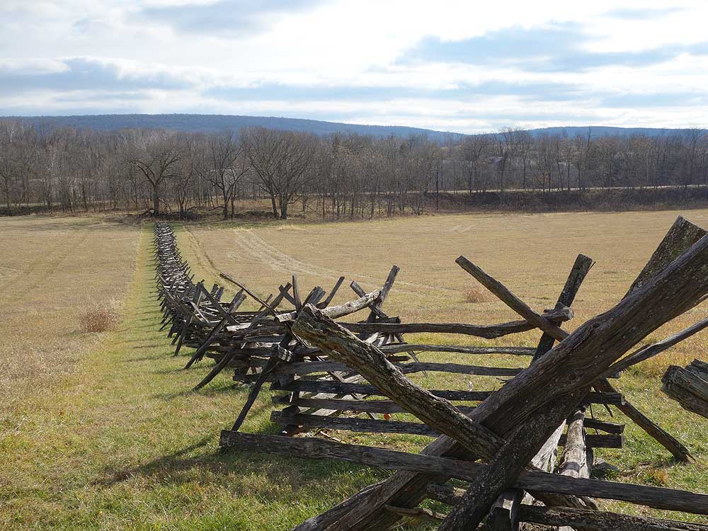
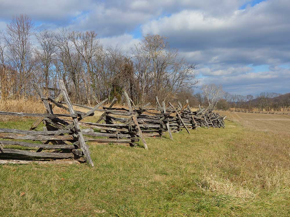
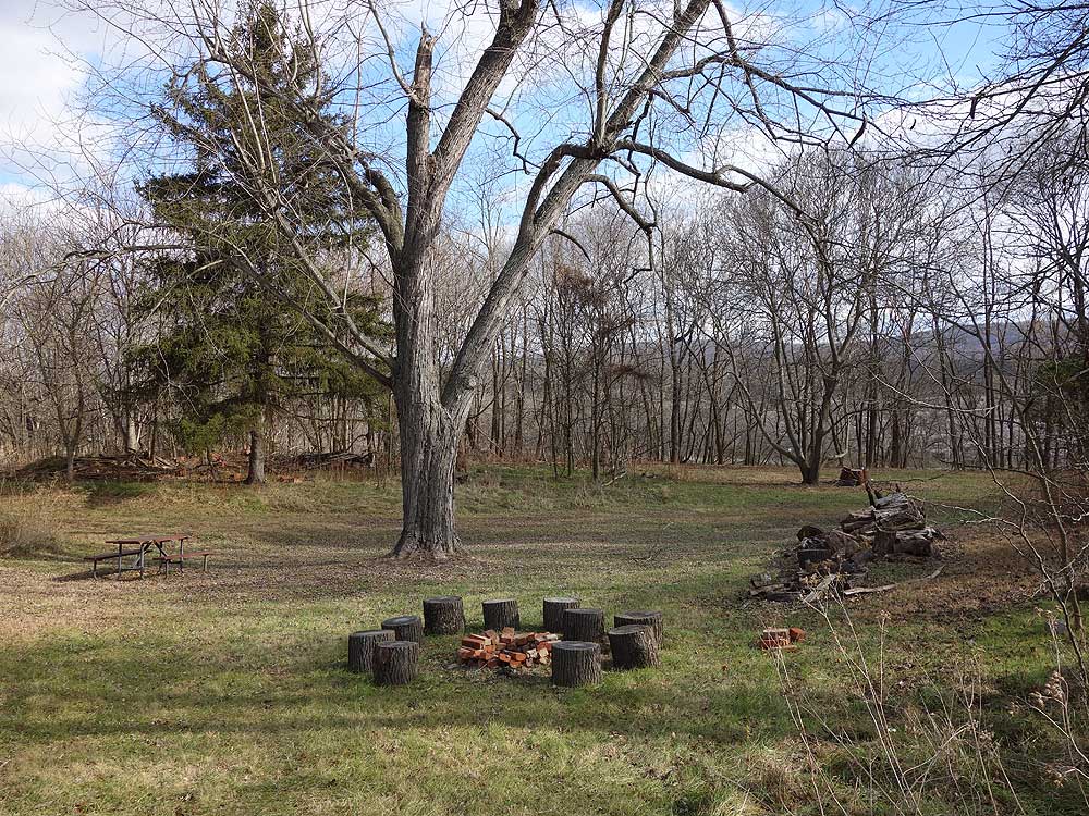
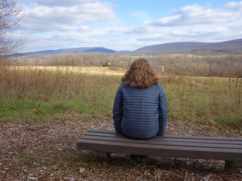
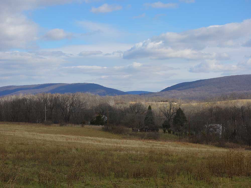
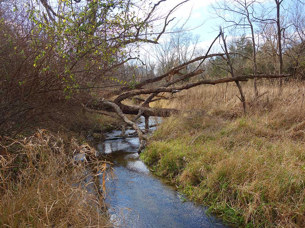
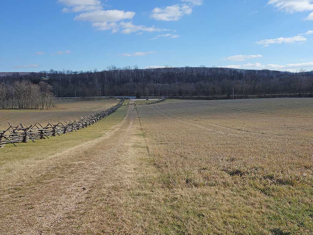
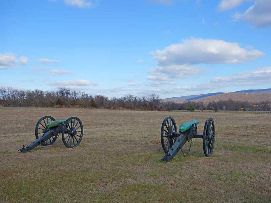
 Part of the Harpers Ferry National Historic Park, School House Ridge was a Confederate held position during the Battle of Harpers Ferry in September of 1862. The hiking trails have multiple views to the northwest of the Harpers Ferry area, including a walk along Flowing Springs Run, past Homestead Ruins and replica Confederate cannon along the Confederate line. This is an easy walk with well maintained trails, and offers considerably more solitude than the Loudoun Heights and Maryland Heights hikes also located in the Harpers Ferry National Historic Park. Part of the Harpers Ferry National Historic Park, School House Ridge was a Confederate held position during the Battle of Harpers Ferry in September of 1862. The hiking trails have multiple views to the northwest of the Harpers Ferry area, including a walk along Flowing Springs Run, past Homestead Ruins and replica Confederate cannon along the Confederate line. This is an easy walk with well maintained trails, and offers considerably more solitude than the Loudoun Heights and Maryland Heights hikes also located in the Harpers Ferry National Historic Park.
Battle of Harpers Ferry - September 12-15, 1862
As Robert E. Lee advanced into Maryland with the Army of Northern Virginia, he ordered Thomas Jonathan 'Stonewall' Jackson to capture the garrison at Harpers Ferry to secure a supply line back to Virginia. Jackson's troops located on School House Ridge were under the command of A.P. Hill, Lawton, and J.R. Jones. McLaws commanded on Maryland Heights, and Walker and Crutchfield on Loudoun Heights. The first day of fighting saw heavy cannon fire but not advancement by the Confederate forces on Harpers Ferry. To press the battle after a second day of fighting Jackson ordered A.P. Hill to flank Miles's Union troops to the south of their location on Bolivar Heights. That night A.P. Hill moved into position next to the Shenandoah River with 3,500 troops and 20 cannon.
After heavy bombardment on the third day by the Confederate troops Union Col. Dixon S. Miles realized the fight was hopeless and surrendered to Jackson's forces, but died of wounds from Cannon fire before the surrender took affect. Although by Civil War standards the loss of life was considerably fewer, with 44 Union troops and 39 Confederate troops killed, the battle saw the largest surrender of Union troops in one engagement with 12,000 becoming prisoners of war.
Battle of Harpers Ferry Battlefield Map (3 pages)
|