|
| Length |
Difficulty |
Streams |
Views |
Solitude |
Camping |
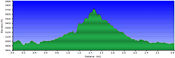
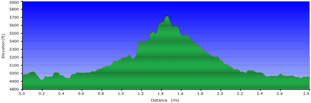
| 2.9 mls |
 |
N/A |
 |
 |
N/A |
Hiking
Time:
Elev. Gain:
Resources: |
1 hour and 45 minutes with 15 minutes of breaks
890 ft
 Topo Hike Trails Map (PDF) Topo Hike Trails Map (PDF)
Cruso, NC Weather Forecast
Garmin (GDB), Gaia/Trails App (GPX) (What's
this?)
3D
View of Route |
 By Trail Contributor: Zach Robbins (Contact Zach) By Trail Contributor: Zach Robbins (Contact Zach)
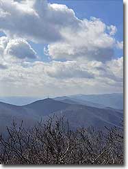
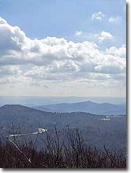
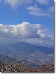
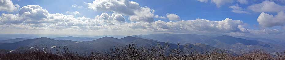
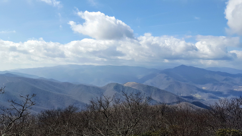
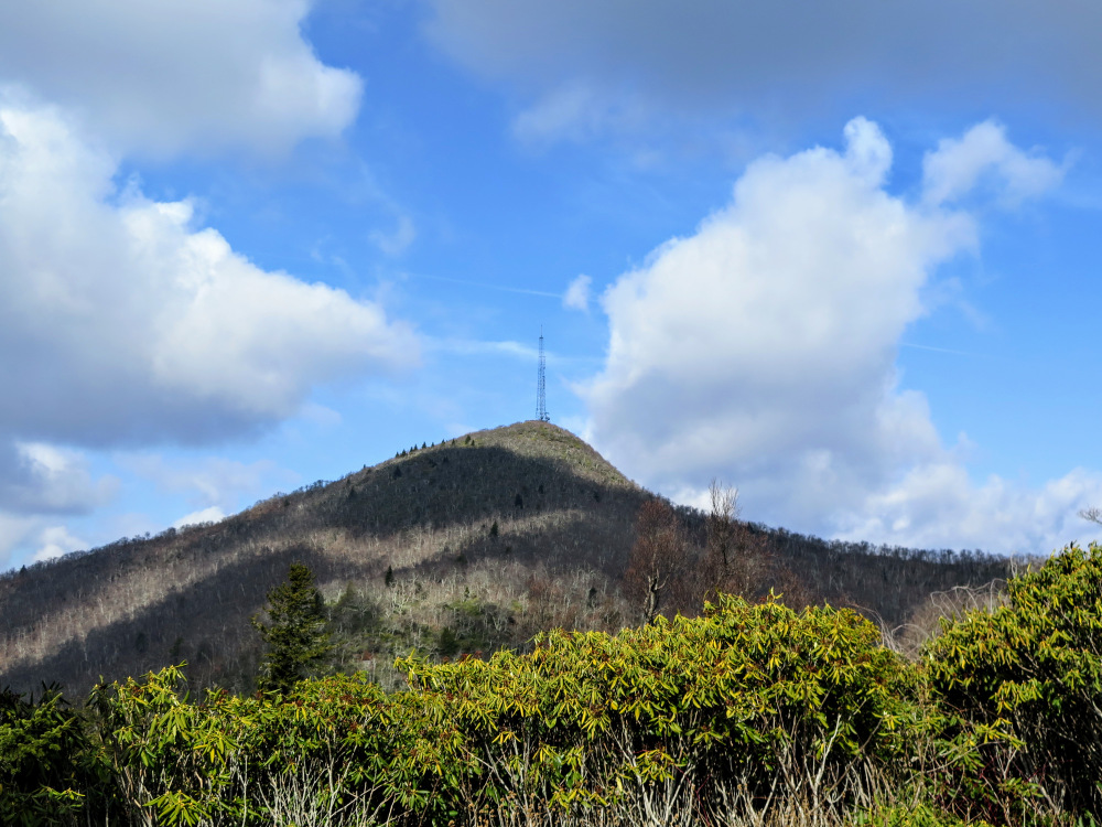
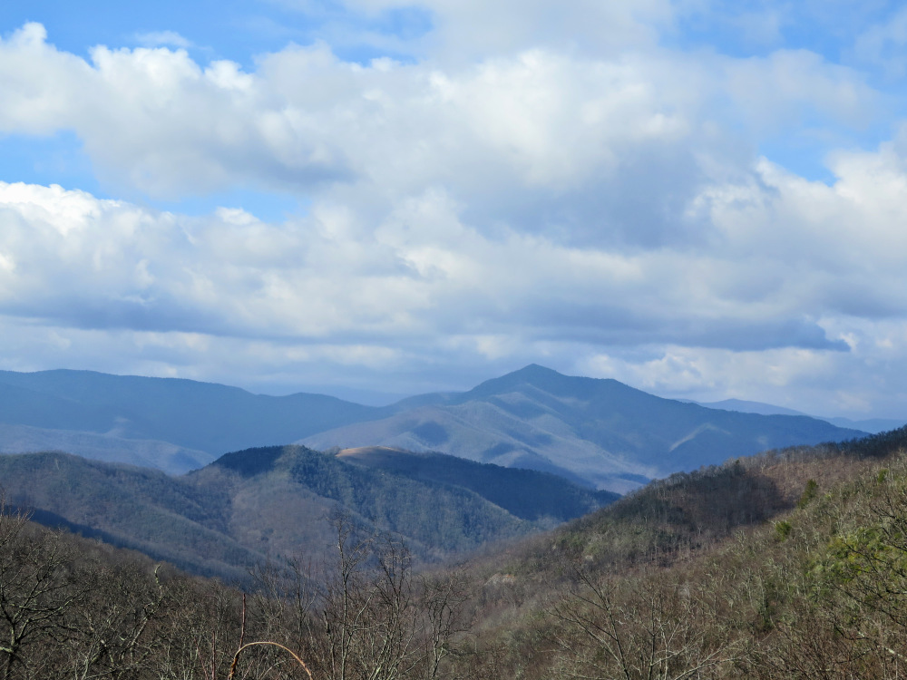
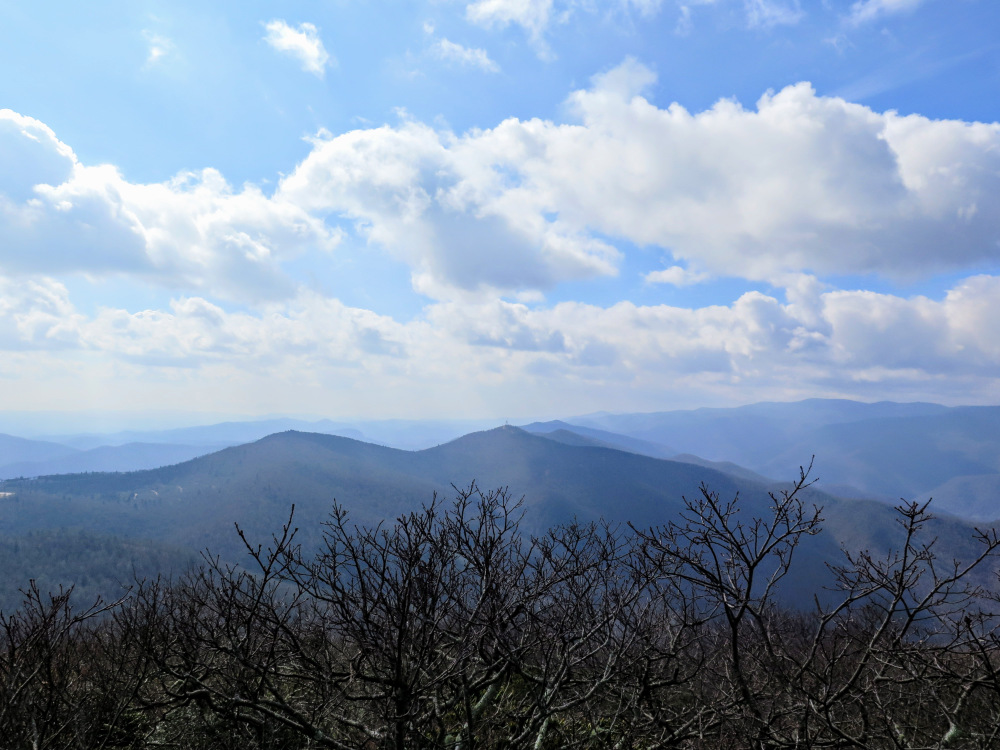
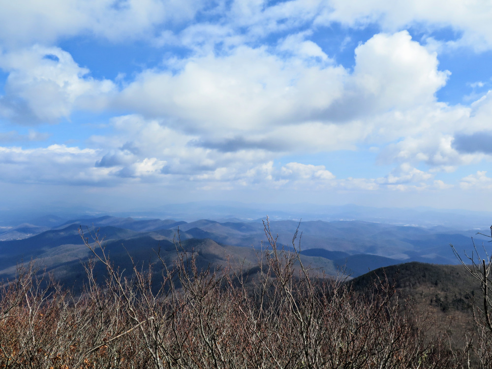
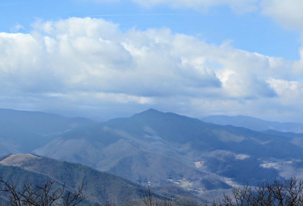
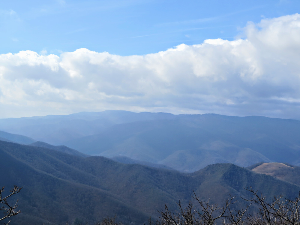
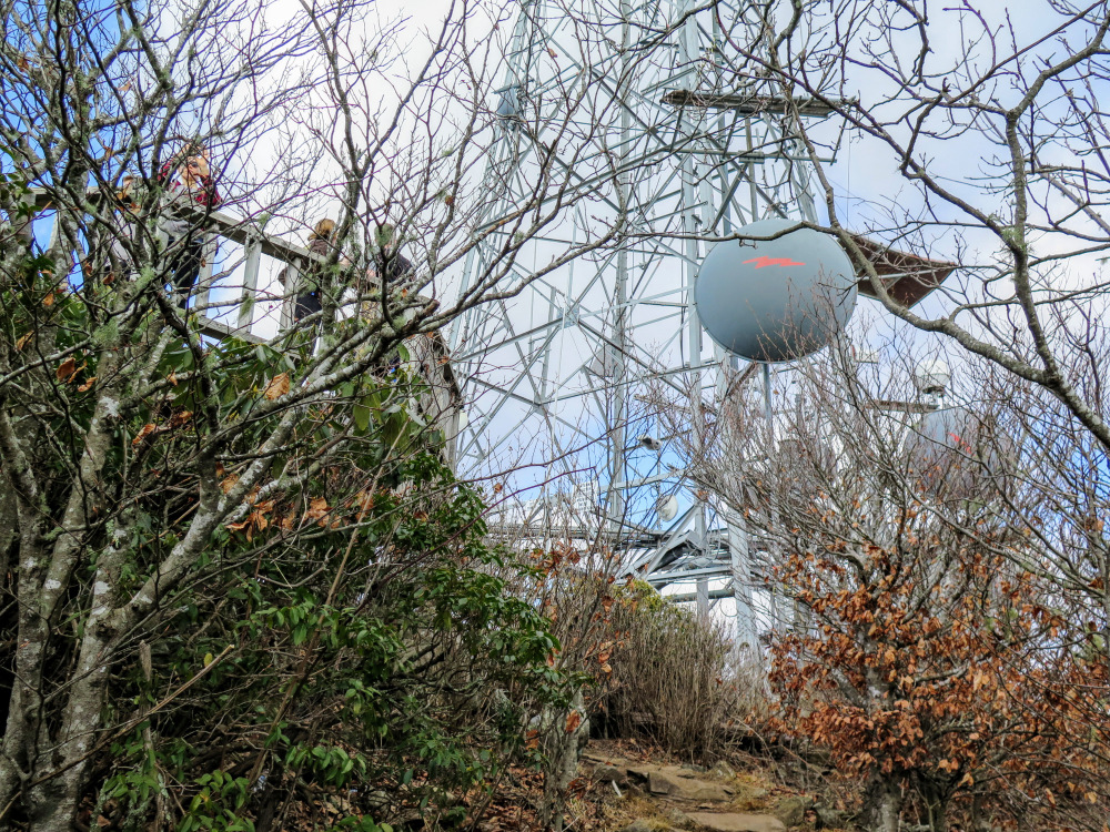
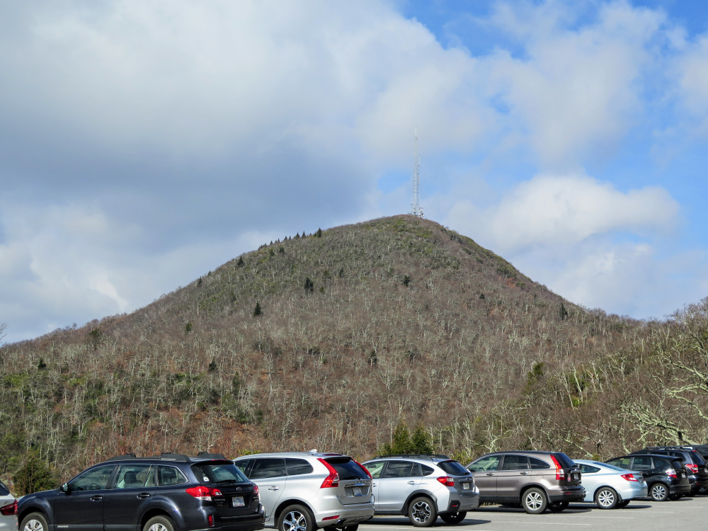
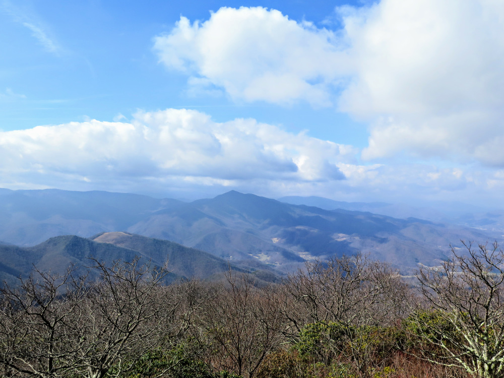
The climb to Mount Pisgah is a classic hike on the Blue Ridge Parkway southwest of Asheville. Mount Pisgah at 5,721 feet is one of the most recognizable peaks in North Carolina with its pyramidal summit and 339-foot television transmission tower. Other than the view north, which is obscured by the tower, you have panoramic views east, south and west from the observation deck at the summit. The high points of the Great Balsam Mountains dominate the southwest-west view with Cold Mountain as the most striking peak. Although this is an extremely popular hike, Mount Pisgah is a great jumping off point to explore more of this beautiful mountain range.
-
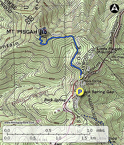
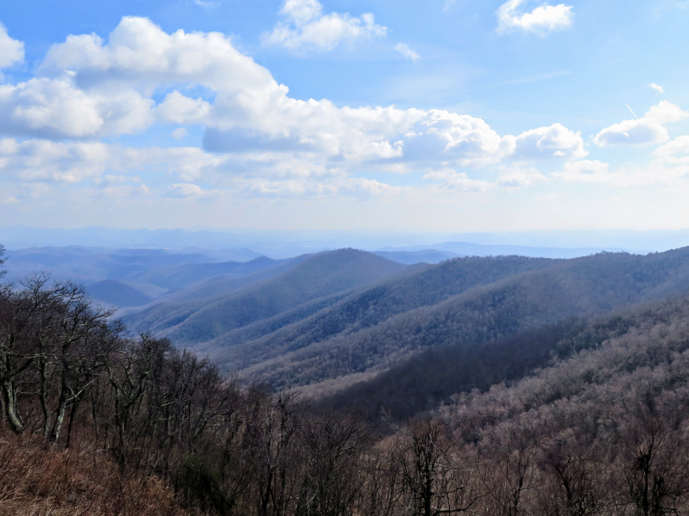
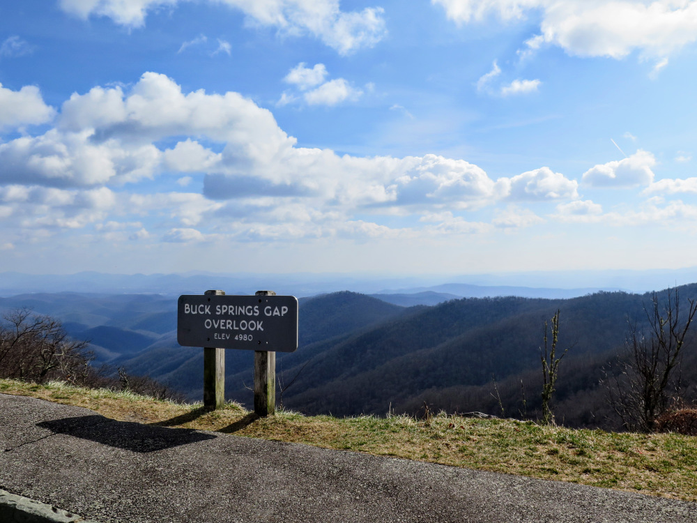
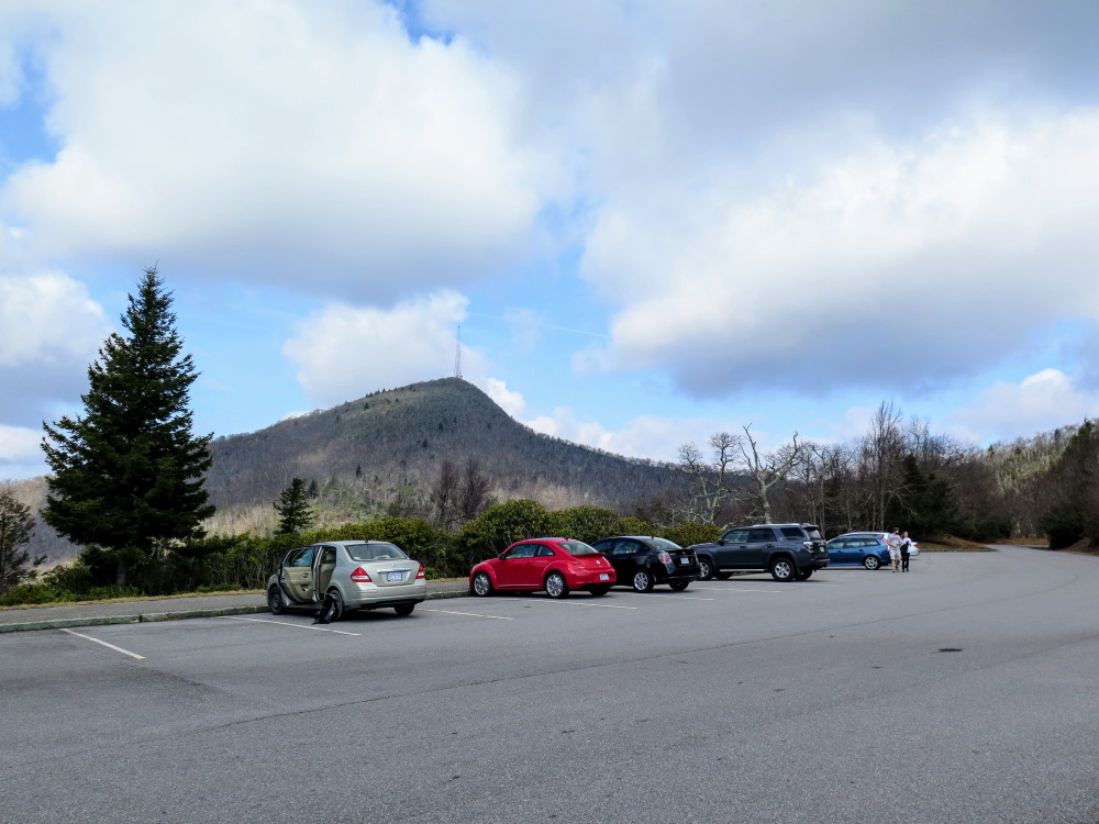
Mile 0.0 – Hike begins at the Buck Spring Gap Overlook. From the parking area Mount Pisgah rises above to the northwest. You also have a view east of the Big Creek basin from the overlook. Pick up the Mountains-to-Sea Trail [440] (white blaze) on the right side of the road. This connects to the Mount Pisgah Parking Area, but you can also follow the road here on the wide shoulders.
-
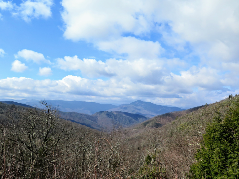
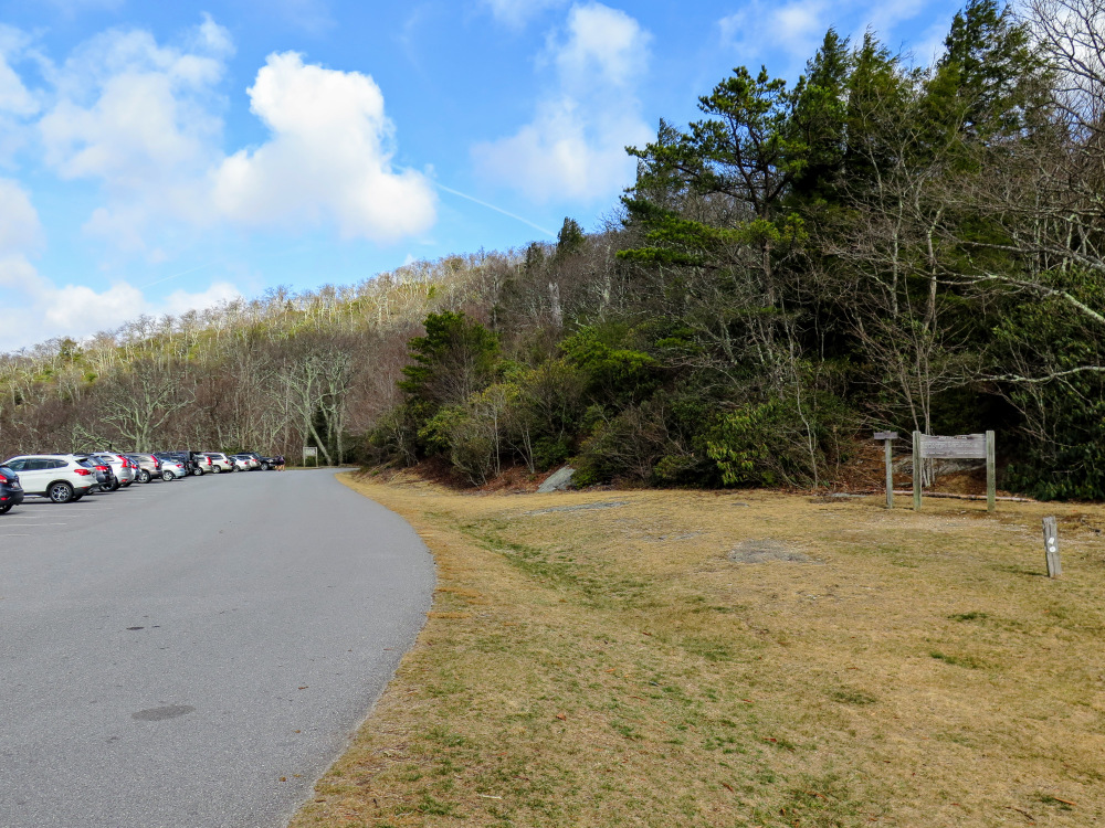
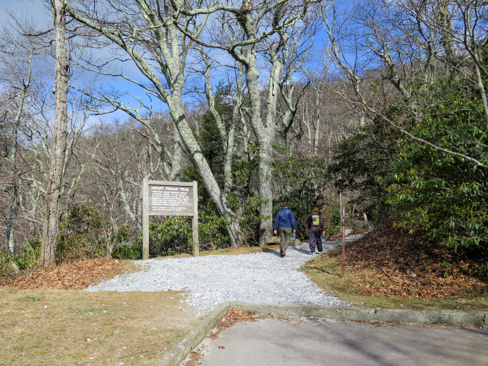
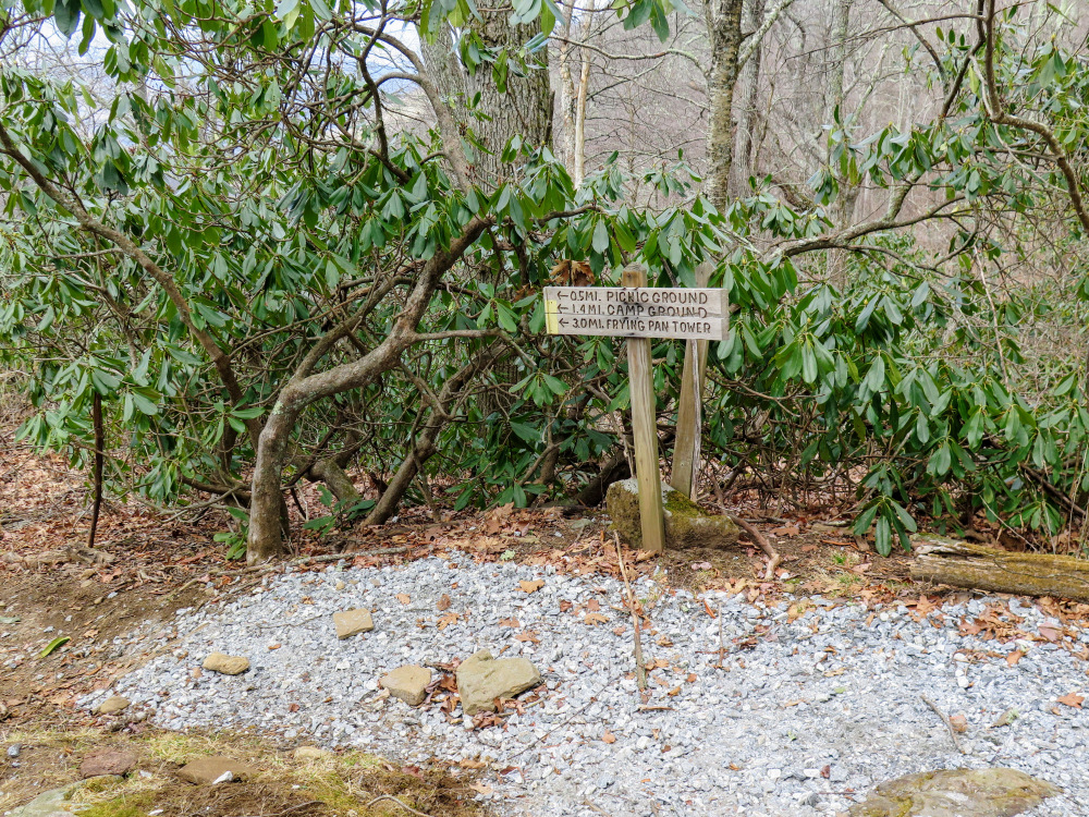
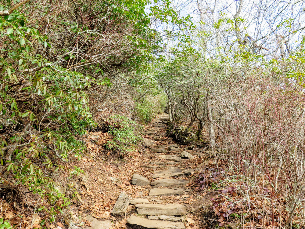
Mile 0.2 – MST passes through the Mount Pisgah Parking Area. The MST and Shut-In Trail [345] turn right continuing north. When you walk through the parking area you have a clear view west of Cold Mountain and of course Mount Pisgah overhead. At the far end of the parking lot begin the Mount Pisgah Trail [355]. A trail turns left heading towards the picnic area, campground, and Fryingpan Mountain. The trail at first is relatively flat as it heads towards a gap below Little Pisgah Mountain, then the real climbing begins around Mile 0.6. For the next 0.8-mi it climbs over 700 feet on countless rock steps.
|


