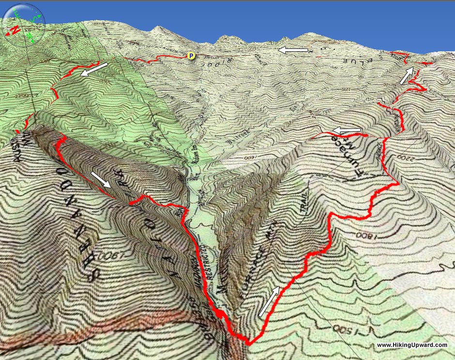
The
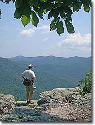
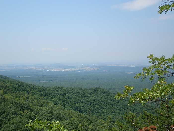
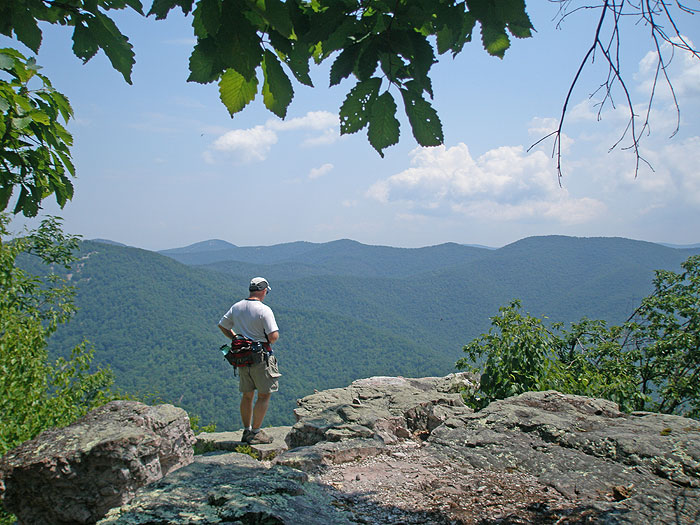
Austin and Furnace Mountains loop is one of the most strenuous
day hikes in the Shenandoah National Park. Not only is the hike long, at over 13 miles, but the steep descent down the Austin Mountain ridge, and long climb up the exposed Furnace Mountain trail, make the 3000+ vertical feet of gain seem even that much harder.
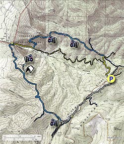
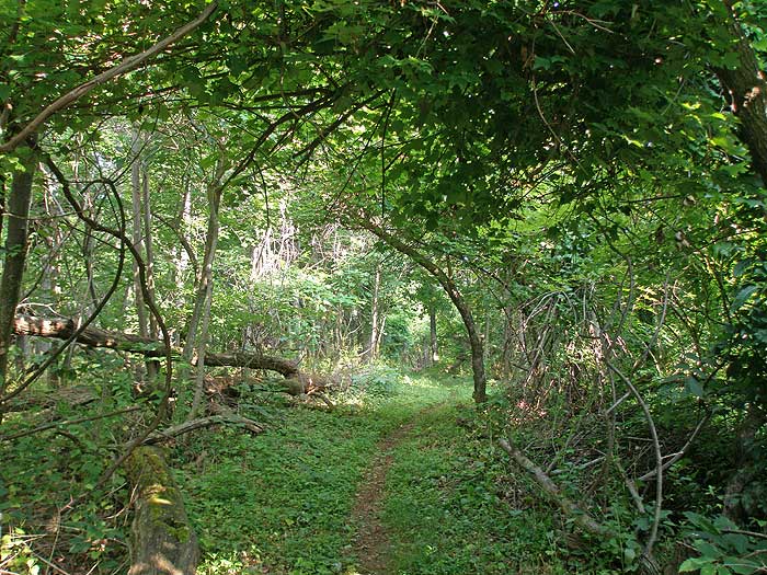
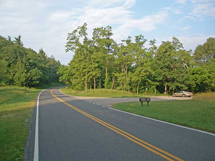
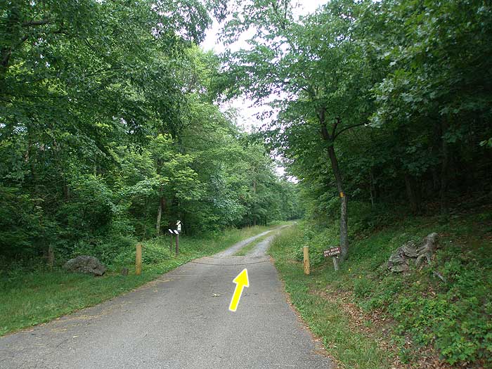
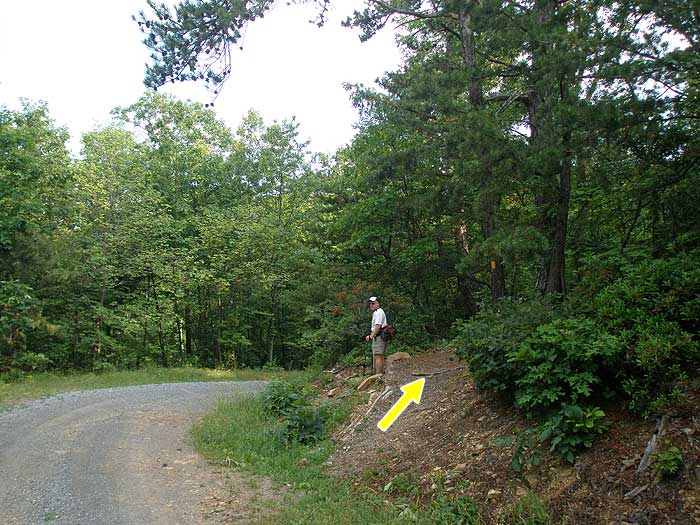
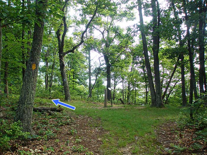
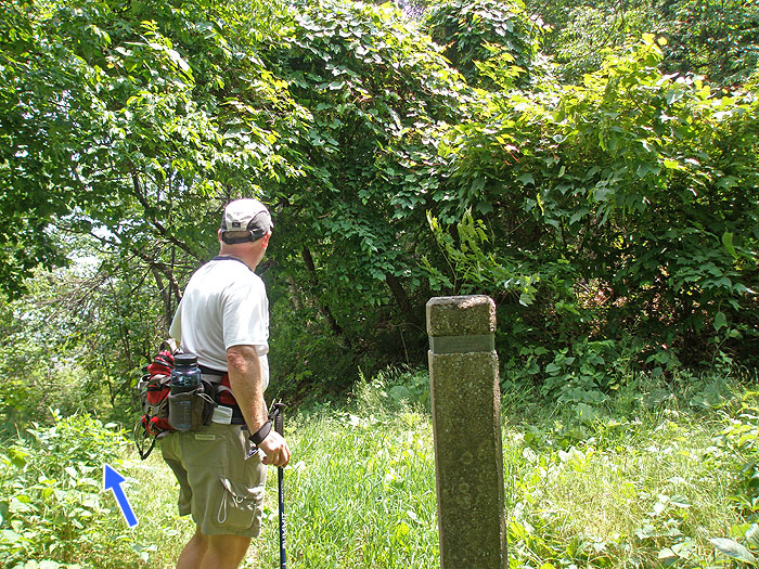
From the Browns Gap parking area pass the closed gate, and start down the yellow blazed Madison Run Fire Road (FR). In 0.8 miles look for the yellow blazed Big Run Spur Trail where the FR makes a right bend. Turn right and follow the Big Run Spur Trail uphill for 0.3 miles to the ridge, and intersection of the blue blazed Rockytop Trail.
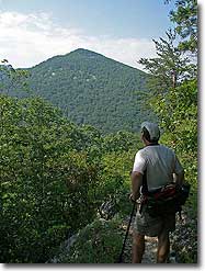
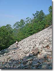
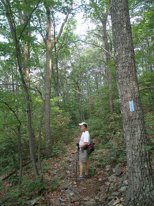
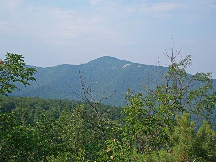
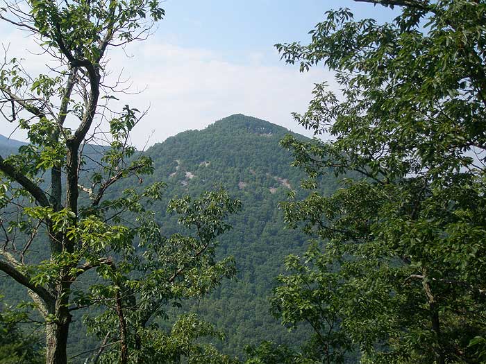
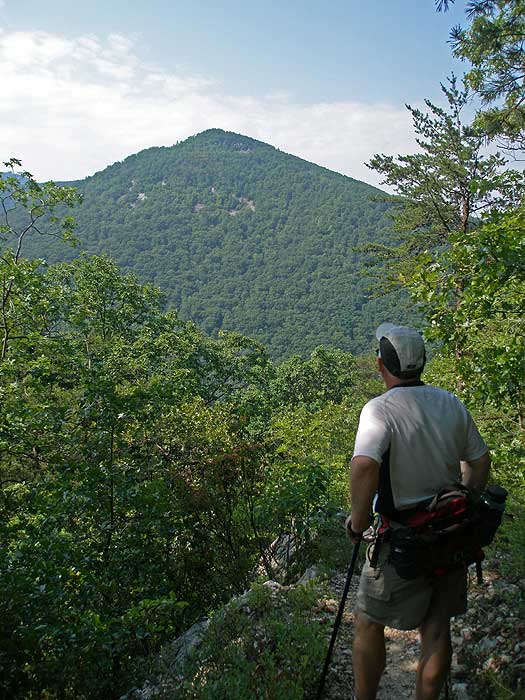
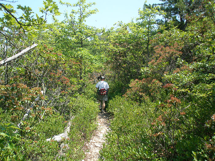
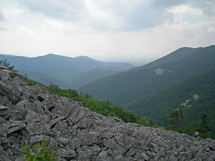
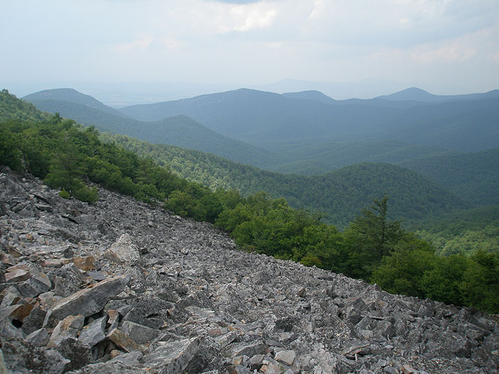
Turn left on the Rockytop Trail for 0.4 miles to the intersection of the blue blazed Austin Mountain Trail. Stay left on the Austin Mountain Trail as it follows the ridge, then gradually begins to descend. Pass several vistas of the Furnace Mountain summit, before passing through four rock slide areas. In three miles from the Rockytop Trail, the Austin Mountain Trail will make a sharp left turn, and descend the mountain very steeply for the remaining 0.3 miles to the valley, and ending at the Madison Run FR.
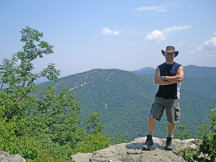
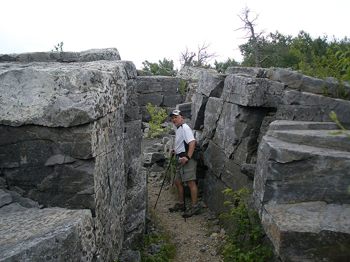
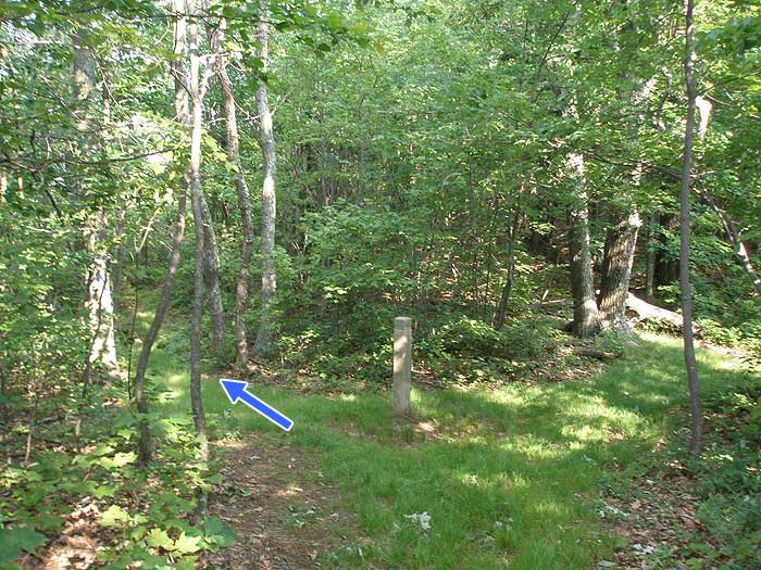
Return the 0.5 miles to the Furnace Mountain Trail, and turn left uphill. In 2.1 miles the Furnace Mountain Trail ends at the intersection of the blue blazed Trayfoot Mountain Trail. Stay left, on the Trayfoot Mountain Trail as it descends, then climbs to the intersection of the AT/Blackrock Connector Trail in 0.6 miles. Stay left towards the Blackrock Summit, and in 0.2 miles pass through the lower section if the Blackrock area, before arriving at the intersection of the white blazed Appalachian Trail AT and Blackrock Summit.
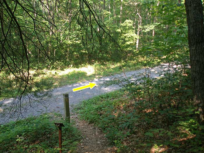
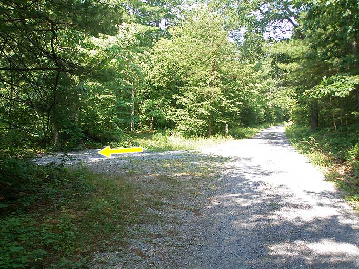
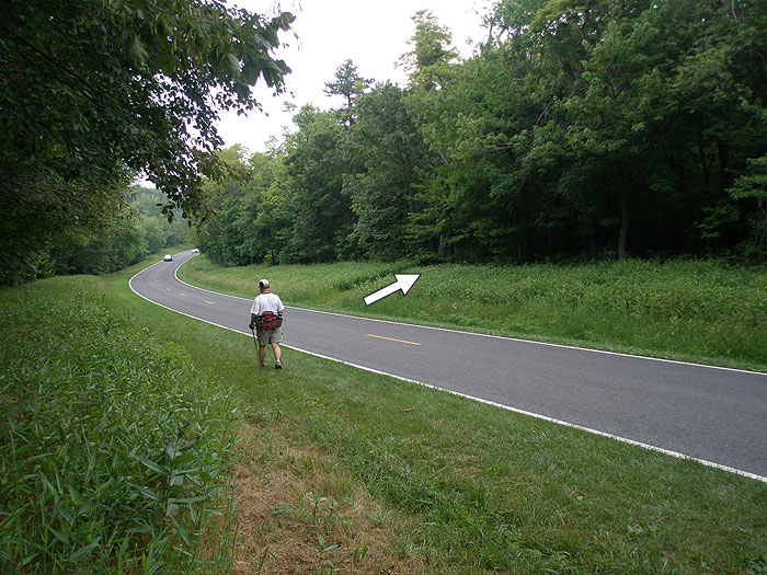
Turn left on the white blazed AT. In 0.3 miles pass the Blackrock parking area, before crossing Skyline Drive on the AT in another 0.6 miles. After crossing Skyline Drive, pass the Jones Run parking area in 0.2 miles, and stay on the AT for the remaining 1.2 miles back to the Browns Gap parking area.
Late June
Austin/Furnace Mountains Hike Comments
Archived Comments
By:GaliWalker
Rating:
Date of Hike: Tuesday, December 18, 2018
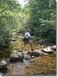
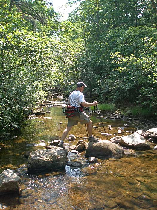
I wanted to do this as described, but Skyline Drive was closed due to 300 downed trees (courtesy of a recent ice storm). So, I hiked it from the bottom trailhead (Grottoes), at the end of Browns Gap Road. The hike was great! Don't skip the Furnace Mountain summit side trip. The view from there is second best, right after that from Blackrock, which is the highlight of the trip. Madison Run was running quite high but I was able to cross it without having to take my boots off, thanks to my knee length gaiters. It took me 6hrs to hike the loop, including about an hour to take pictures. 6hrs of bliss on a beautiful blue sky day.
By:Brad & Michelle
Rating:
Date of Hike: Saturday, August 18, 2018
We did this from the Grottoes side and went counter clock wise because we were looking for steep hill training for an upcoming marathon in Switzerland. We drove up early from Hampton roads and got on the trail by 9am.The first four miles were hard core grateful for the overcast day and occasional drizzle. Around mile 3 Brad was about 20' ahead of me on the trail when we unknowingly and unintentionally scarred a medium sized bear who fell/ran out of the tree right towards me. It's not clear which one of us was more terrified, the bear trying to get away from my husband or me trying to get away from the bear coming right towards me! We skipped the Furnace Mountain overlook based on other reviews. We checked out the Trayfoot Summit - underwhelming in August with the leaves blocking the view. Next was the Blackrock summit with stunning vistas and a breeze. From there we followed the trail to the Madison Fire Road and ran/walked that back to the start. We had 12.5 miles with over 5,400' of elevation gain in about 4 hours with a few photo stops. Great hike for a workout and some nice views. Highlight was the kindness of a fellow runner back at the parking area who offered to let us stop by his house to shower and change before our drive back to Hampton Roads! Got to love the running community!
By:Hylly Rambler
Rating:
Date of Hike: Sunday, April 8, 2018
I did this from the Grottoes side, as it's so much faster to get to from Valley locations.
I also speed hiked/trail ran the loop and took the fire road all the way down instead of branching off on the Austin Mountain piece, plus I didn't do the Furnace Mountain overlook spur. This makes it an 11.9 mile loop.
Outside of the bottom of the fire road, and Black Rock Summit, you don't see many people on the trail. I've done this loop about 10 times, mainly in the colder months to avoid ticks and snakes. I typically see a lot of bear, when they aren't hibernating, and occasionally deer. Yesterday all I saw was about 15 squirrel and a grouse on the fire road.
For trail running it's a great loop because you get the climbing over first. It's about 4 miles of tough climbing, with 2 quarter mile downhills, to Black Rock, then 3 miles over relatively flat running on the AT, then a slightly less than 5 mile run down the fire road.
I've also done the counterclockwise way and gone up Austin, which is very steep for a mile, then run the ridge cutting back to the fire road, and then taken a right and come down the fire road about 4 miles, and that makes for a 9 mile loop.
By:BrewMoon
Rating:
Date of Hike: Sunday, December 17, 2017
Did this hike from the bottom for 2 reasons: first, I always like doing the steep ascents and switchbacks first and second, coming from the west (Harrisonburg), it's a much shorter drive--saving like 30 min each way. I also did it clockwise doing the Austin climb first. Weather was overcast and mid 30s which was nice for the strenuous parts. Just a small amount of snow at north facing higher elevations. Had the trails almost nearly to myself. Since I had the time, I did both the Blackrock and Furnace Mtn summits. Two tips if you do the hike in CW direction: there's a trail split just past the Blackrock parking area & the signposts are misleading. You can stay on the AT (right) trail up to the BR summit. Then, right at the summit, there's another sign post indicating the Blackrock Spur Trail, but doesn't mention the Furnace Mtn trail. You can take it anyway to the Trayfoot Mtn trail & intersection with the Furnace Mtn trail and save some distance. I didn't do either, so my total distance was about 13.6 miles. Some really nice views but not many animals. If you have the time & want a longer hike, I'd recommend this hike. One final tip on parking at the bottom: park on the right shoulder by the last driveway, don't drive all the way to the gate. It's too narrow to turn around so it's a long back-up in reverse. Don't ask me how I know...
By:Ash
Rating:
Date of Hike: Saturday, July 29, 2017
I enjoyed this hike more than any other I've recently done. I did this as a day hike as written. Great trail variety, great views, excellent solitude (except near Blackrock Summit), and what I thought was a good length for a day hike. I will do this hike a few more times in different seasons.
By:mark
Rating:
Date of Hike: Saturday, June 3, 2017
Did this hike starting at the bottom, which is a small parking area at the end of Browns Gap Road, Route 663. Easy to find, plus quicker and shorter to get to versus driving down Skyline. Quick map search for Browns Gap Road in Grottoes, Va and drive to the end. Ill recommend starting here as you can quickly get the climbing out of the way and then have a relatively easy, though long, hike the rest of the day.
Went in same direction as guide on a drop-dead gorgeous day. The slog up to Trayfoot is long but the grade isnt bad. Lots of beautiful wildflowers. I didnt take the Furnace side trip, as some friends had said it was OK but not spectacular. Instead, spent more time goofing around at Blackrock, which is really nice and has great views. That cut a mile off the trip. The downside of doing the hike this way is coming down Austin Mtn at the end when I was starting to get tired. This is really steep and have to cross a lot of spectacular riprap with loose rock. Remembering the old saying you get tired going uphill, you get hurt going downhill, I took my time and enjoyed looking around. All together, about 5 ¼ hours hiking, 6 hours with lunch and looking around, 12.45 miles total. I loved this hike!
By:Alec U
Rating:
Date of Hike: Thursday, June 9, 2016
*****TAKE NOT PLEASE***** GO UPTO BLACKROCK SUMMIT, IT WILL NOT DISAPPOINT YOU, GUARANTEED!
other than that, I should mention I did this hike in reverse, and shortened. As I started from the Jones Run parking lot and took a left upto skyline to intercept the AT once found, I continued to stay left and uphill for the majority of the way. As I explored the overlook first, then secondly Blackrock Summit. Gorgeous, insane views from Blackrock, but this isn't the Blackrock review area :\ so thats why furnace gets a 4, because the overlook was great, but nothing spectacular, and for leading me upon the beauty Blackrock.
By:Mac
Rating:
Date of Hike: Wednesday, April 20, 2016
Note: this excellent hike is currently closed, as are several hikes to the north, because of the Rocky Mount fire, which has (to date) burned almost 10,000 acres. Furnace, Austin and Trayfoot Mountains are not burning now (yet?), but they're closed for safety and containment purposes. Check the SNP website to see when the routes reopen.
By:GC3INDC
Rating:
Date of Hike: Friday, April 15, 2016
Did this as overnight from Brown's Gap parking lot, camped on Furnace Mountain. Gorgeous weather both days. The slog up Furnace Mountain was as advertised, I was ready to drop everything and camp by the time I got to the summit. Took it nice and easy, so about 4 hours the first day, then 3.5 the next. Pay attention to the elevation profile, the hike from Furnace Mountain to the Trayfoot Mountain intersection is nearly all uphill and no walk in the park. Saw only one other group on Friday, then a couple folks came up to the Furnace Mountain overlook, but I was the only one camping there. A few more people on Saturday, but not a whole lot. Definitely the right time of year for this hike, not enough bugs to really bother you.
By:John Thomas Fisher
Rating:
Date of Hike: Thursday, March 17, 2016
I've done this one 3 or 4 times now. One of my favorite hikes I've done. Crawl up to the rocks when you get to the top there, be quiet, think about life, or just don't think at all for an hour. It's a gorgeous view year-round.


