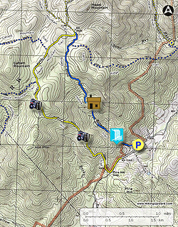
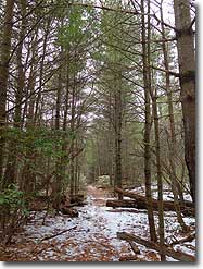
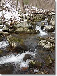
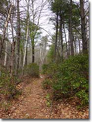
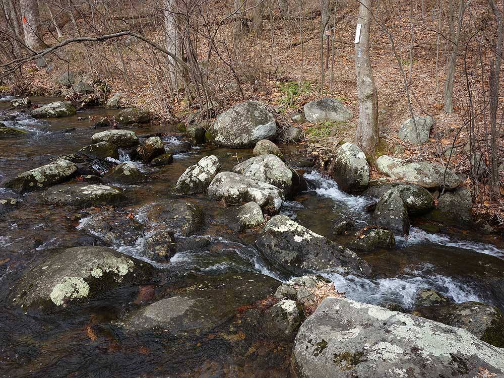
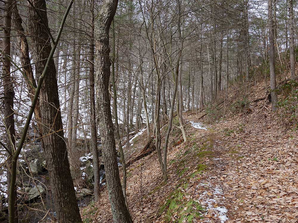
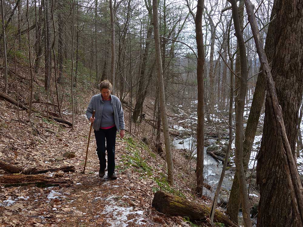
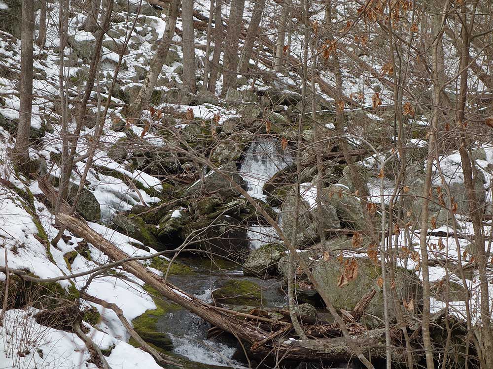
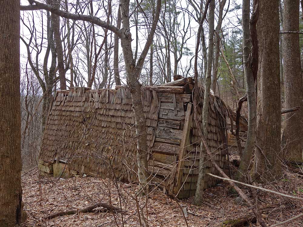
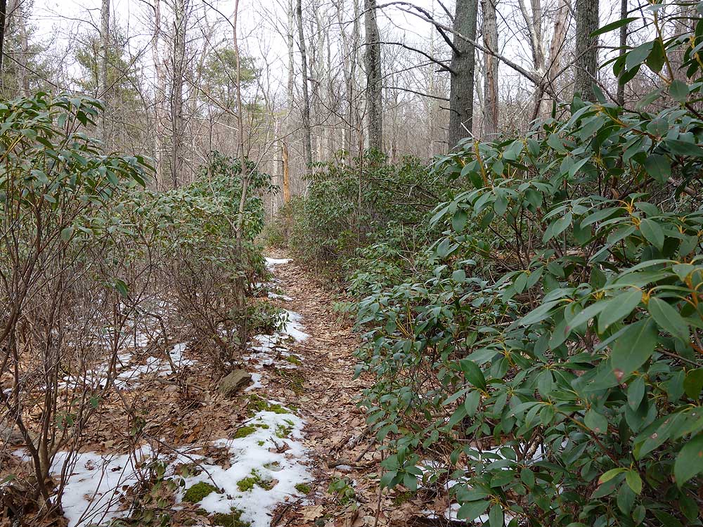
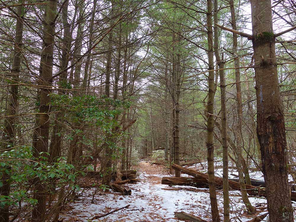
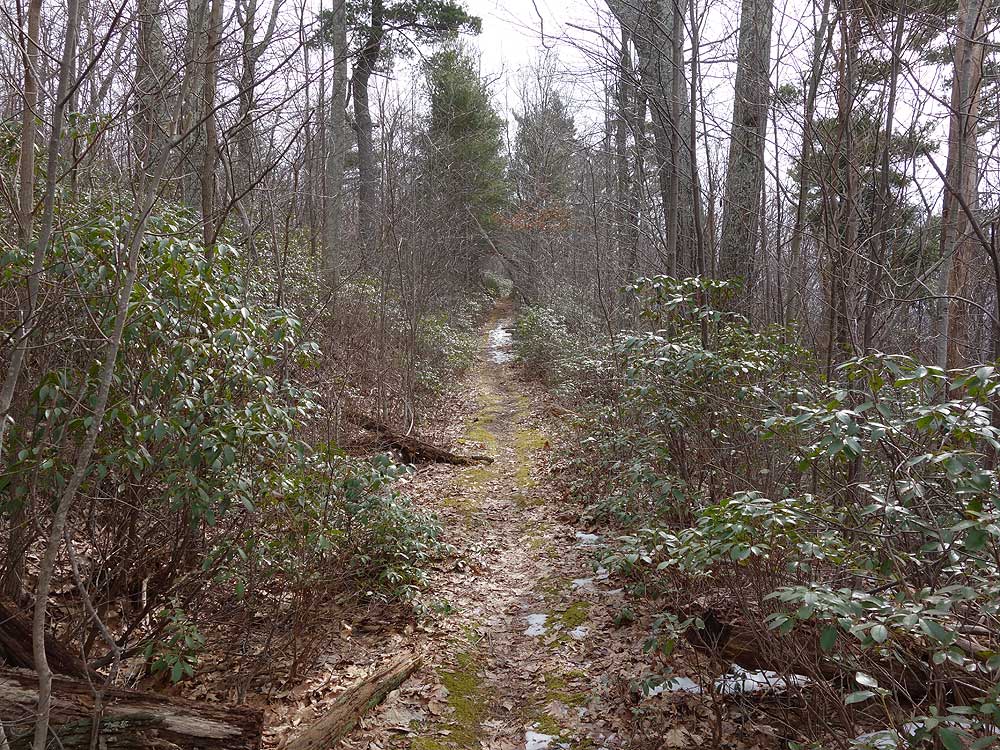
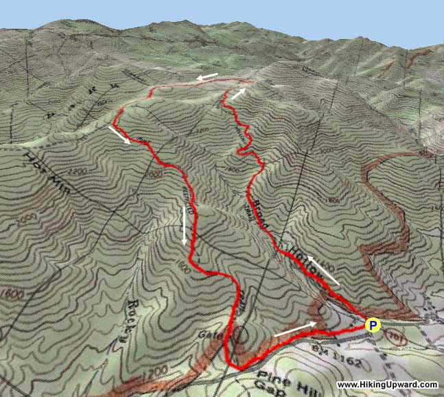
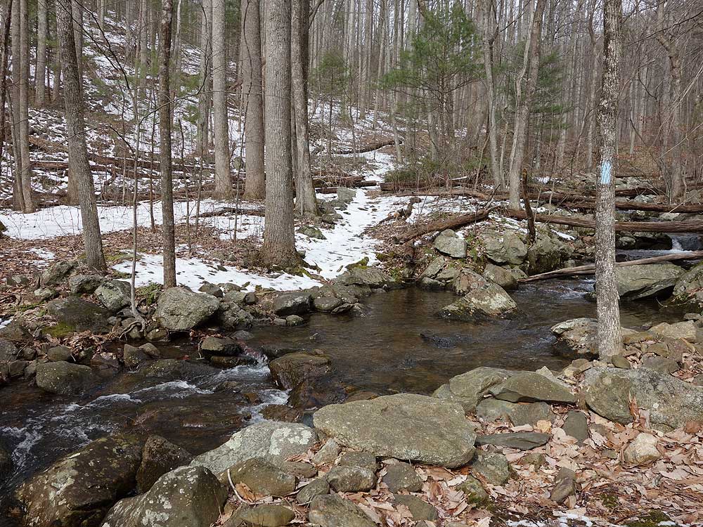
Hidden in a back corner of the Shenandoah National Park, the Broad Hollow/Pine Hill Gap hike offers a surprising amount of solitude nestled between Old Rag, Catlett, and Hazel Mountains. The hike starts along Broad Hollow Run with a pleasant set of cascades, then turns steeply uphill and passes the ruins of an old cabin. The flatter section in the Hazel/Catlett Mountain hollow has old growth Hemlock and Wild Oak, as well as an abundance of Mountain Laurel.
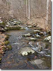
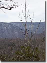
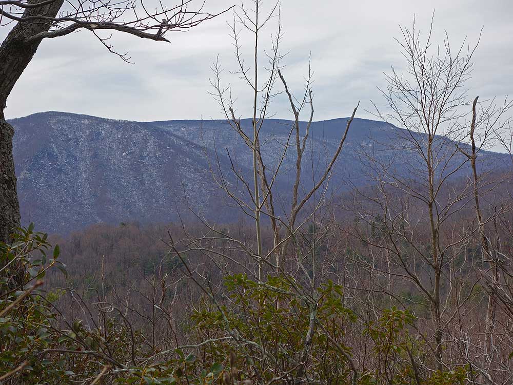
This is a great day-hike where you can avoid all the crowds on the more popular trails very close by. The best times of the year to enjoy this circuit are early spring and late fall when the leaves are off the trees providing nice views of Old Rag and Hazel Mountains. There are also 3 crossings of Broad Hollow Run, these are not difficult but may require rock hoping in the spring after winter snow melt.
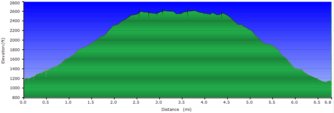
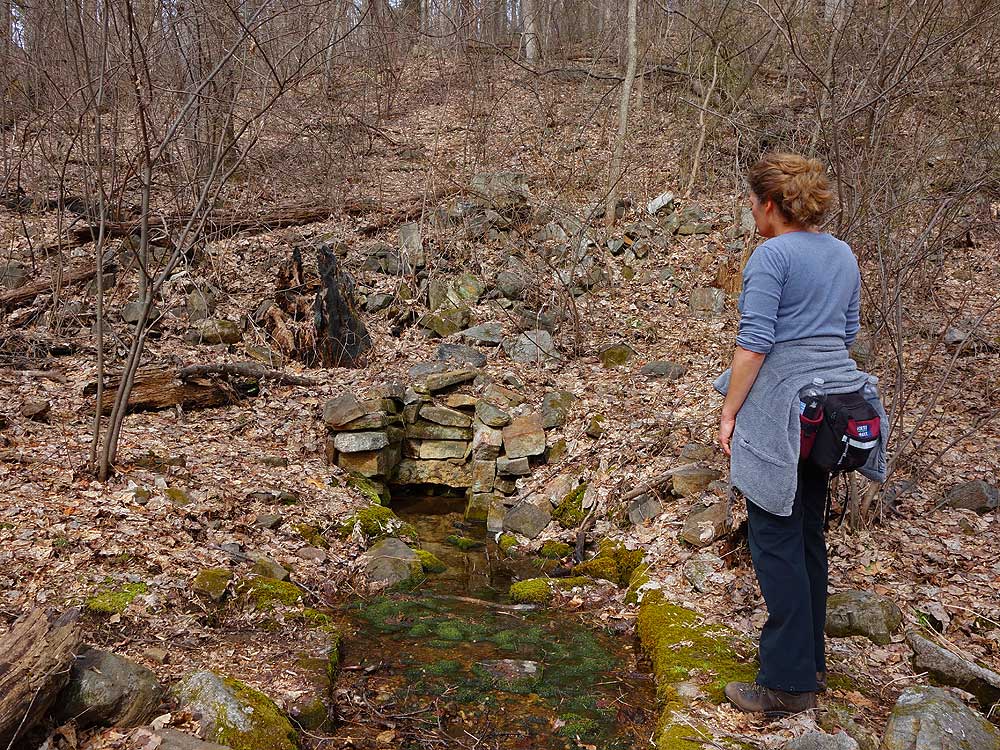
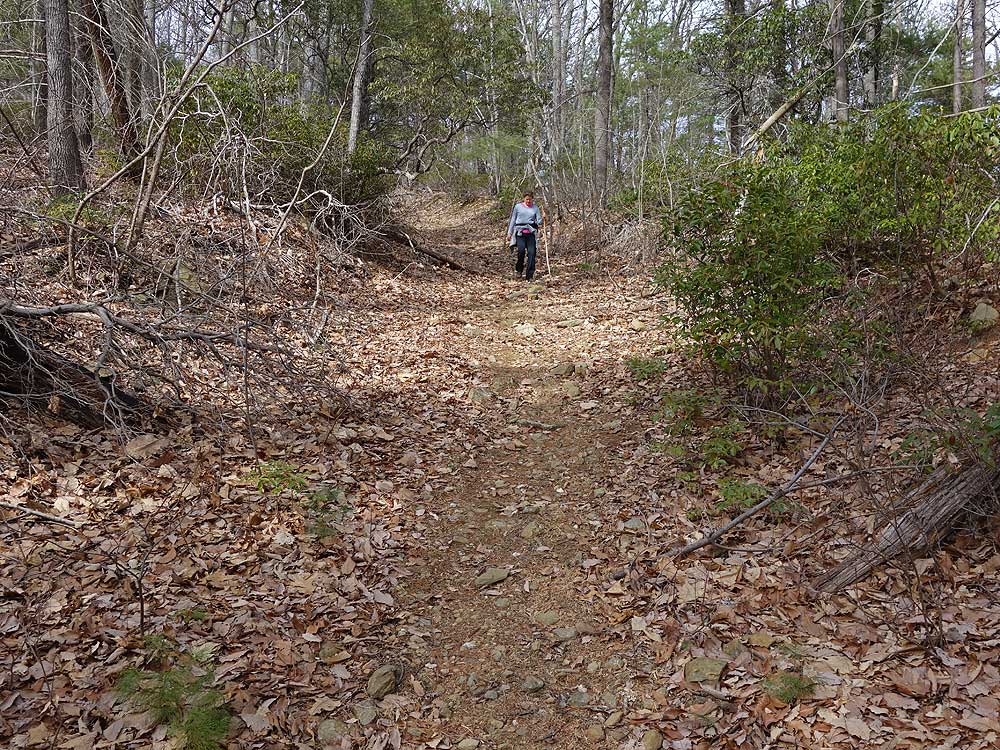
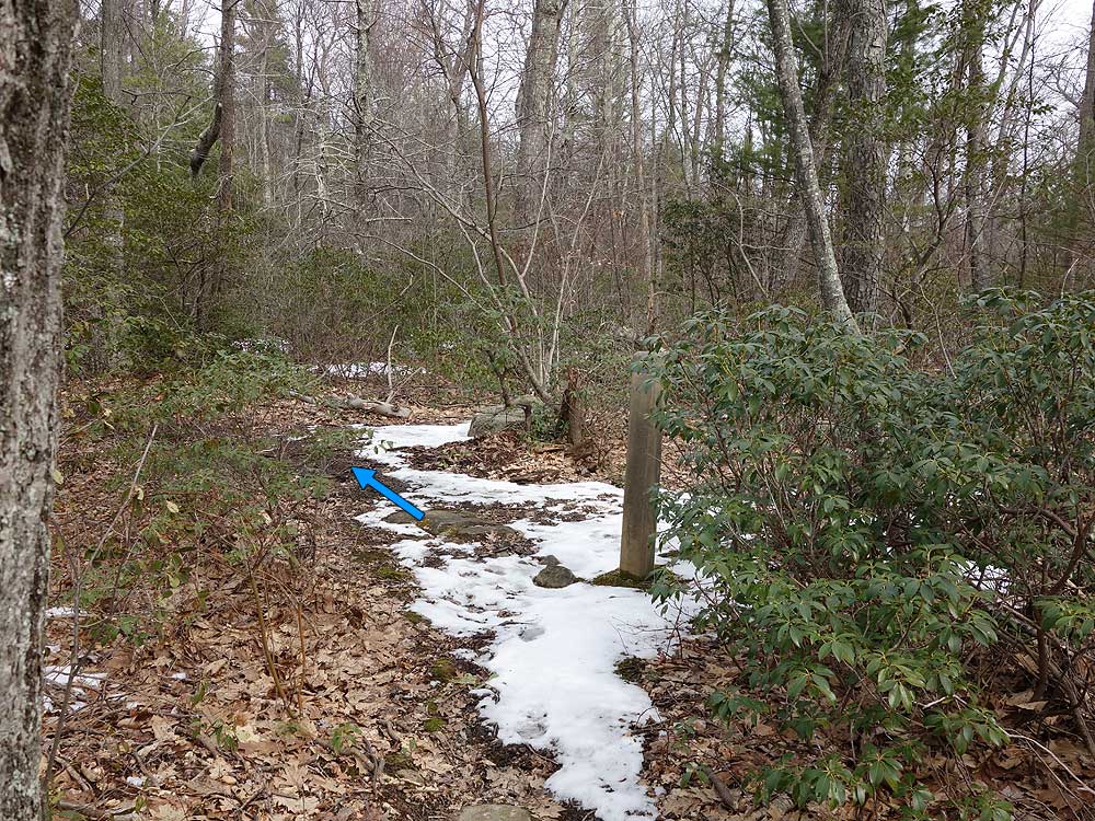
Mile 1.0 - The trail becomes increasingly steep before making a turn back to the left and passing a seasonal spring. Shortly after the spring are remains of a cabin. After the cabin the Broad Hollow Trail will climb the ridge and turn back to the right. In 0.2 miles the trail levels out and passes through a thick area of Mountain Laurel the arrives at the intersection of the Sams Ridge Trail.
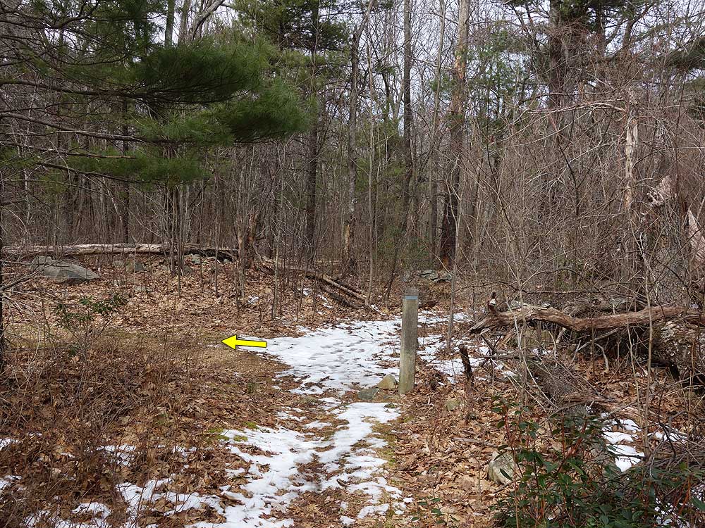
Mile 4.3 - From the old trail marker the Hazel Mountain Trail becomes the Pine Hill Gap Trail and steeply descends the ridge with Pine Hill Mountain visible directly ahead. There are views to the south of Old Rag Mountain, with the best views from the saddle on the ridge. From the saddle the Pine Hill Gap Trail is at its steepest before arriving at Pine Hill Gap.
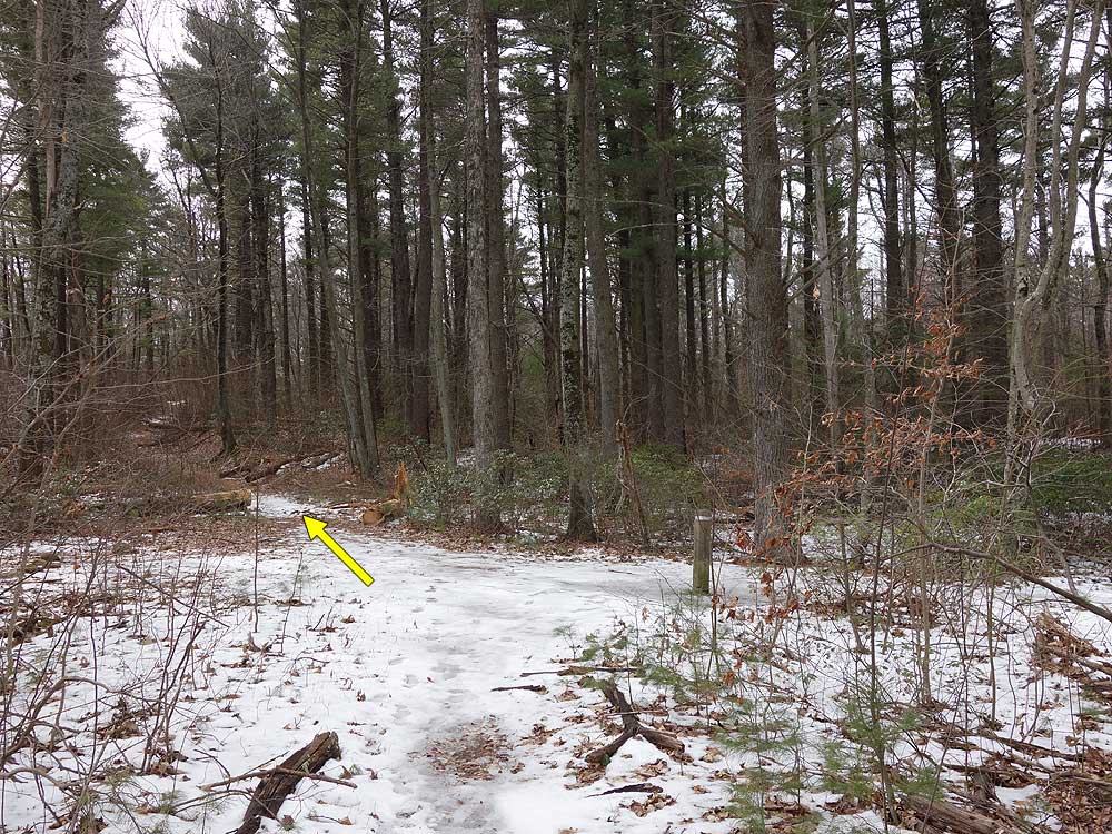
Mile 6.4 - Continue along Rolling Road past several trailers for 0.3 miles back to the parking area at the Broad Hollow trailhead.
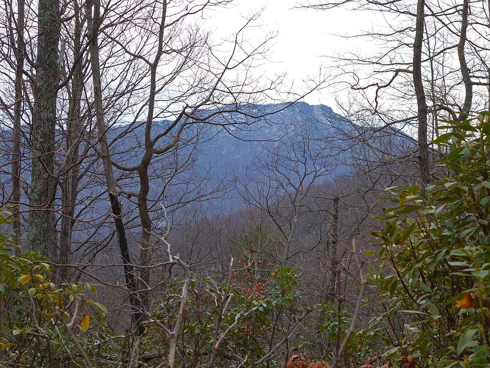
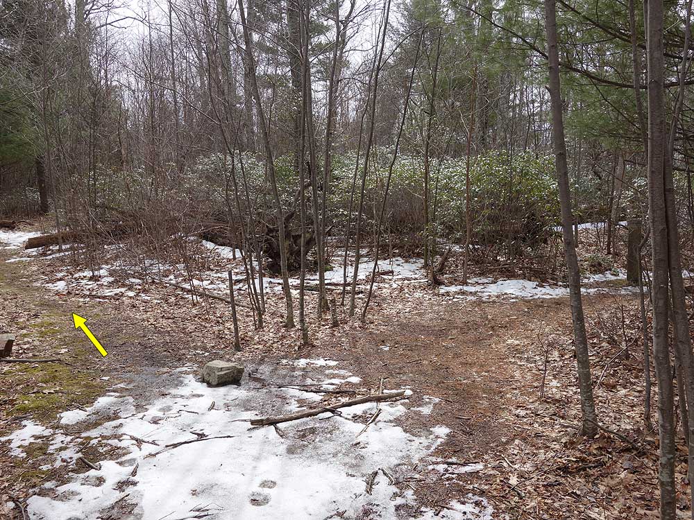
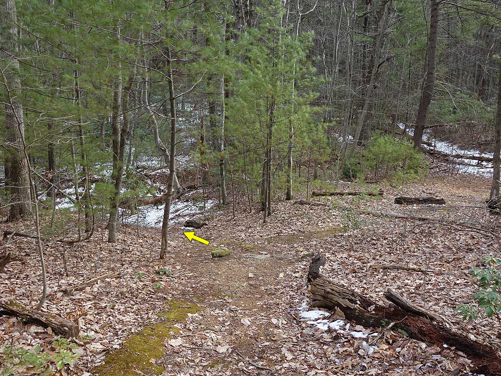
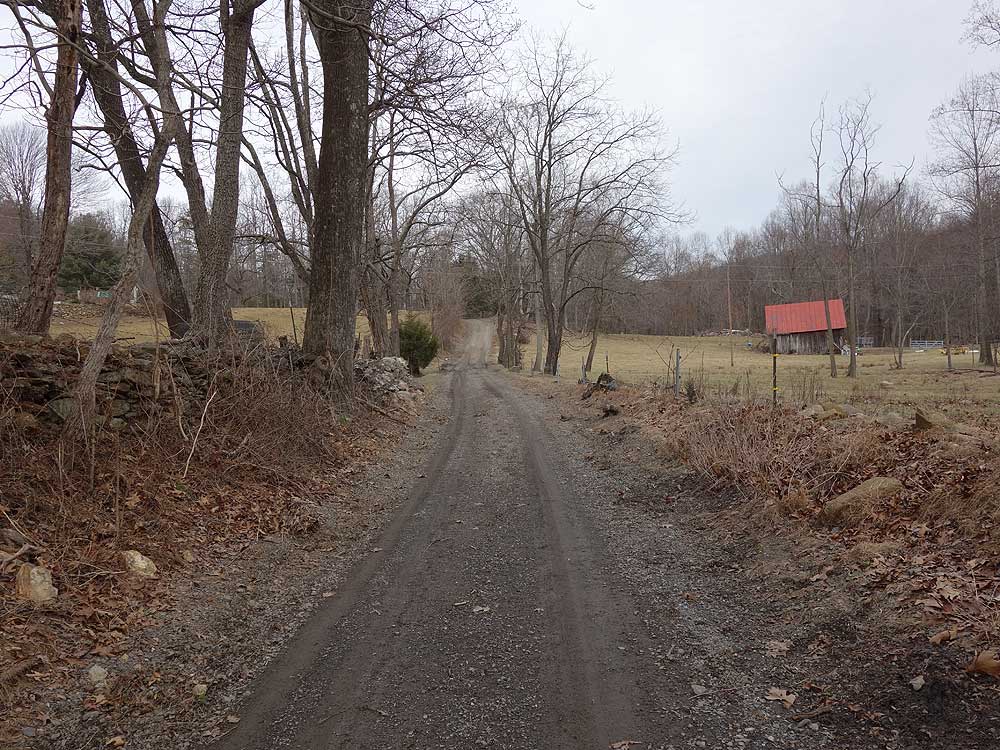
Late February
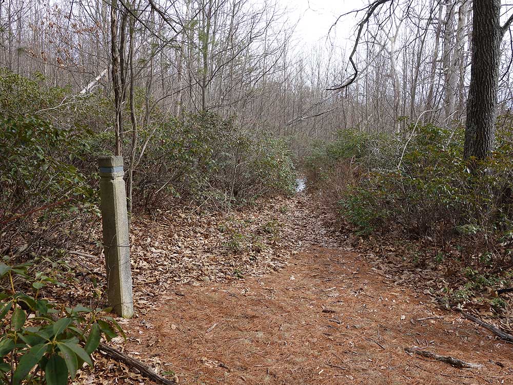
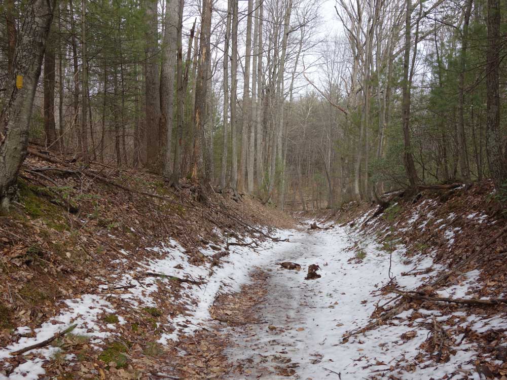
Late November (photos
courtesy by Tom Holman)
Broad Hollow Hike Comments
Archived Comments
By:Brian Alexander
Rating:
Date of Hike: Saturday, December 1, 2018
I hiked this on a foggy, drizzly Saturday with a small group from Central Virginia Trailblazers (www.cvatrailblazers.org).� The description and recent reviews are spot on.� The trail is mostly cleared as Jim Necci mentioned.� We had no trouble finding the lone parking spot, which was vacant when we arrived.� Due to recent rains, the stream crossings in the first mile were a little tricky and the forestry road near the end was more like a creek than a bog.� I can't comment on the views as the fog was too thick to see anything.� We saw no other hikers on the trail the entire day.� Overall a very pleasant hike.
By:JimNecci
Rating:
Date of Hike: Friday, July 13, 2018
A Broad Hollow update. The trails are all now cleared. Somebody did a heck of a lot of work. There were so many trees down in May it should have taken two men, a boy and a couple of horses. The size of some of the tree segments moved off of the trail were huge. And some of the work down with an ax. The hike was much easier this time.
By:JimNecci
Rating:
Date of Hike: Thursday, May 10, 2018
The trees mentioned in the previous review are still down across the trail. The first part of the hike someone has worked clearing the trail with chainsaws and an ax. When you are well into the hike you come to an area where MANY trees are down or broken. There are about five trees all broken and leaning together about 30-40 feet up. From that point none of the trail is cleared. There are many obstacles to go around, climb over, under or work your way through. It does lengthen the time and the distance somewhat. The uphill climbs and water crossings were a bit challenging, the 3 rating is probably right on. The parking is not as dire as some of the other reviews made it seem. We parked four vehicles without much problem. I enjoyed the hike, yes, I would do it again. One tick. Oh, and a bear just before the parking area.
By:ExFed
Rating:
Date of Hike: Saturday, March 31, 2018
As a result of the strong storms in recent weeks there are a lot of very large trees down across the trail, particularly as you approach the top. In some instances circumnavigating the larger downed trees made it challenging to pick up the trail again. If you have a GPS, you might think of bringing it with you. The remains of the cabin were not affected, although there were a couple downed trees nearby. I have never seen so many recently downed trees of such size in the SNP before.
By:Sperryville Hiker
Rating:
Date of Hike: Wednesday, January 25, 2017
Nice trail! Lots of interesting stonework, foundations and some artifacts with a deteriorating cabin halfway down Broad Hollow.
Went up Pine Hill Gap, steep, but not the worst I've been on. Great views of Old Rag and surrounding mountains with the leaves down. Didn't see any other hikers so great Teail for solitude if that's what you're looking for. All together a really nice hike!
By:RCH
Rating:
Date of Hike: Sunday, November 6, 2016
This was an enjoyable hike. Only met one couple with a friendly dog. It was not overly steep at the beginning but it seemed to go on forever. Leaves were beyond peek and very little water in broad run. Did get spooked by what appeared to be a large bird taking off in the bushes. Never saw the bird. On the back side coming down there was obvious bear activity on the path in a groove of white oaks. As the other reviews indicate this is not a hike for views but enjoyable all the same. Took 4.5 hrs just as it predicts and this was with a lunch stop.
Finding the parking/trial head was a tad difficult. You keep driving down the road and you think you should be there but keep going. you come to a "Y" in the road go to the right and its a tenth of a mile beyond. The single parking spot as the photo shows is on the right.
Enjoy
By:Steve
Rating:
Date of Hike: Friday, September 2, 2016
I liked this hike overall. I can attest to the solitude others report. The Broad Hollow Trail is a rocky and steep climb -- I had to rest several times in the first two miles. The trail flattens out nicely on top. The Hazel Mountain Trail is smooth and wide with beautiful passages of Mountain Laurel. The Pine Hill Gap Trail is relatively smooth but monotonously steep downward -- though smooth much of it is covered with loose small gravel and I slid a little. A hiking pole would have helped steady me going down. As reported by others, the forestry road near the end is somewhat boggy and a little muddy, but not too bad (at least on this day). No ticks apparent. Dozens of annoying spiderwebs and single silk threads spanning the trail -- it had been a while since someone hiked it. So many I held a stick in front of me to keep the trail clear, which helped. Saw two bears and heard two more. LOST AND FOUND: Near the end of the hike I found a nice pair of women's glasses that had been recently dropped in the middle of the trail. I placed them securely atop on the concrete trail marker at the end of the Pine Hill Gap Trail where it connects to the boggy forestry road. Near Lat: 38.588738
Lon: -78.278242. If the person who lost them goes back she'll see them.
By:Ryan N
Rating:
Date of Hike: Friday, July 22, 2016
This was a pretty good hike. If you are looking for solitude, this would be it! Didn't see a single person on the hike. Saw some wild life, the highlight being a bear about 150ft up on top of ridge. We made lots of noise and the bear decided to head away from us.
If you start all the way at the end of the road, you gain most of your elevation in one pass. We were doing a little huffing and puffing, but nothing too crazy. There's a stream along the way, close to the other end. We were hoping for a little more water for the dogs to splash in.
Note on the parking: if you park all the way at the end of the road, the locals prefer you park along side the road instead of in that pullout. The trucks and stuff need that pullout to turn around. We were kindly informed by 2 people we shouldn't be parking there. There aren't any signs but better oblige the locals!
By:HikingChris
Rating:
Date of Hike: Sunday, July 3, 2016
Wow!! Being a beginner hiker, my wife and I wanted I quasi challenging hike with very few people. We certainly got what we asked for. There was no one on the hike (and the trails are so narrow it would have been single file anyways), which either could be because of the rain the previous night or the holiday weekend. Had the entire trail to ourselves other than the mosquitoes (probably weather related), and ticks galore. Pulled off two apiece during the hike, one more each on the car ride home, and then one more each at home and two in the clothes we wore. If you like ticks, this is certainly for you! The hike was challenging on the way up, and the descent down is challenging too. Easily marked path with markers, and the description above made it easy. Great views of the greenery. That last .3 is very boggy, hope you don't mind getting your shoes full of mud like mine were. No wildlife other than the large bear paw prints in the mud and bear droppings. Bring a saw or axe as the trail is not maintained and would need to climb over or under some downed trees on the trail. Would do this one again, only next time prepared to cross rivers, bogs, and deal with ticks! Great hike!!
By:ExFed
Rating:
Date of Hike: Friday, December 4, 2015
This hike is best taken in the Winter or early Spring, before the trees get leafed out. The remains of the old cabin are still interesting and thought provoking. On the downhill second half of the hike Old Rag is viewed ominously and loose rocks will give you the opportunity to re-evaluate your foot gear.


.jpg)
.jpg)
.jpg)
.jpg)

