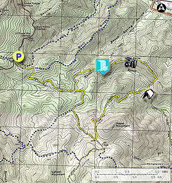
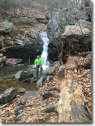
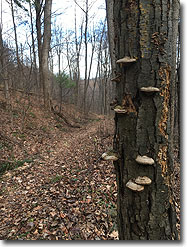
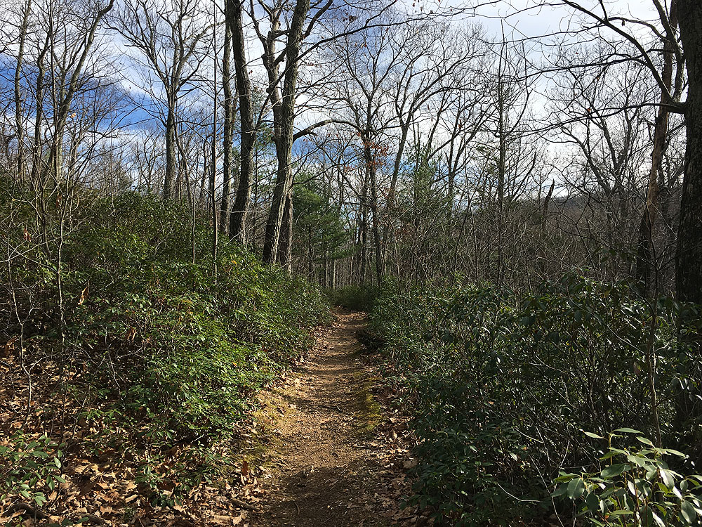
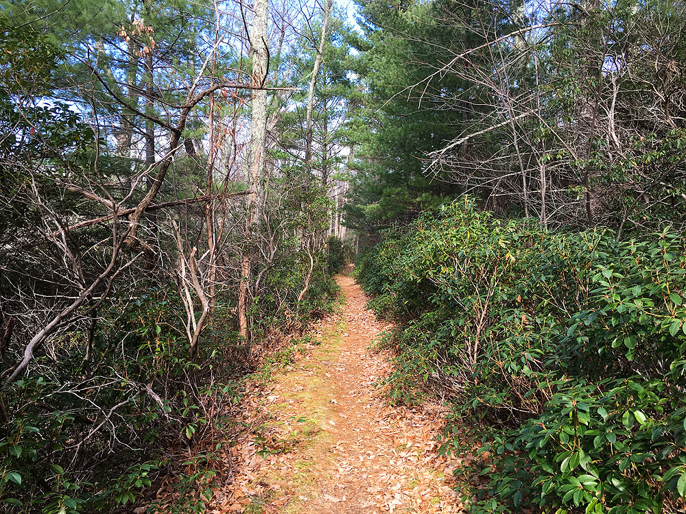
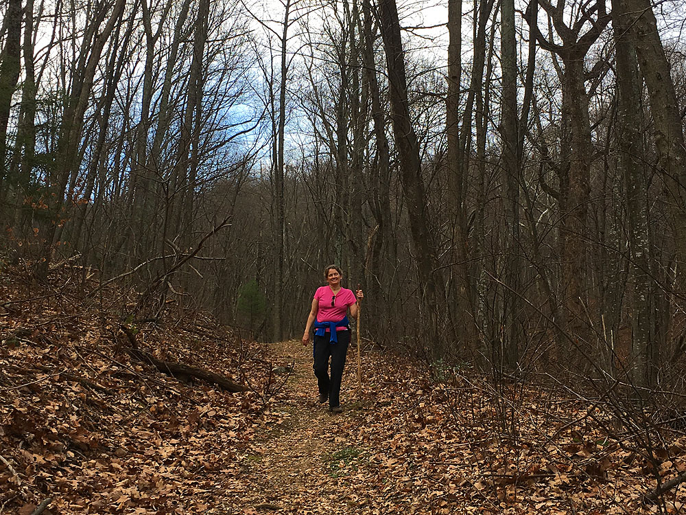
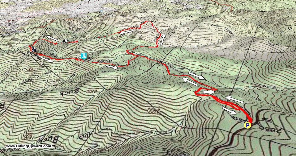
Passing through old growth forest, over the northwest ridge on Hazel Mountain, then descending to Hazel River, this circuit hike starting on Skyline Drive has a wide diversity of scenery. The hike also has the added bonus of being one of the less frequented circuits in this very popular section of the Shenandoah National Park. The highlight is the waterfall and swimming hole on the upper section of Hazel River, but even on the hottest days the mountain water will be chilly!
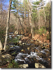
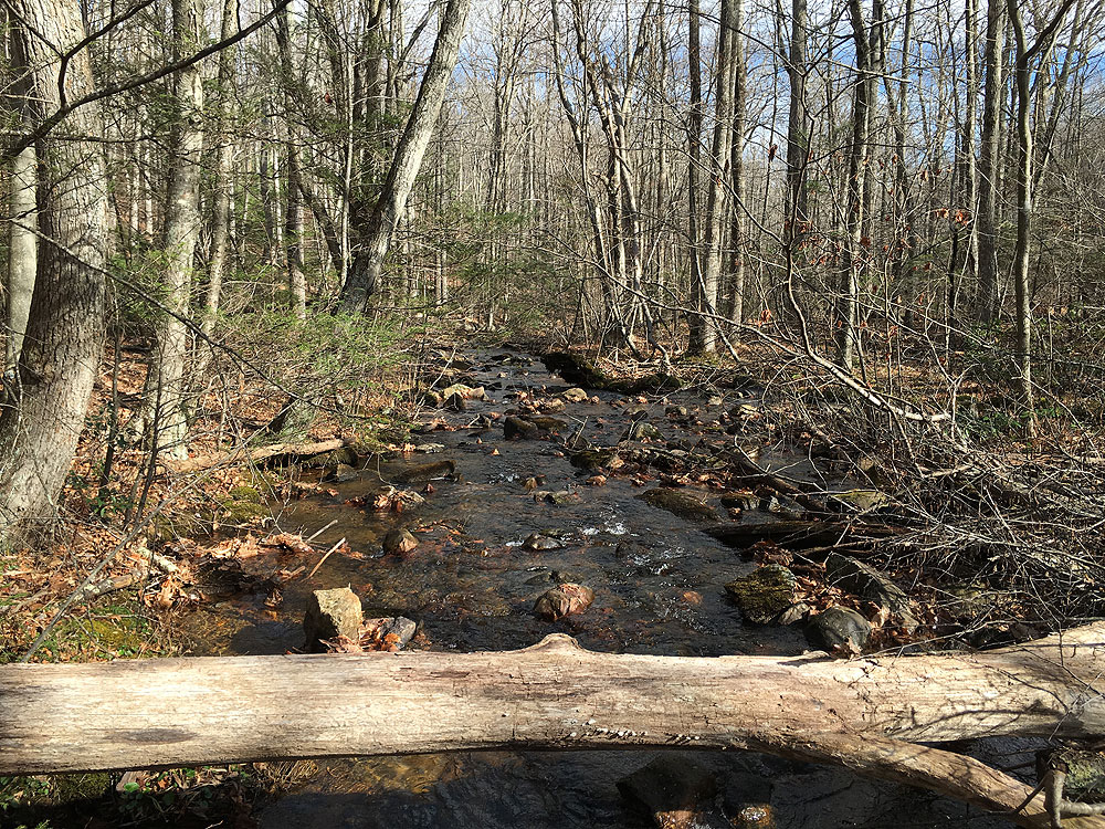
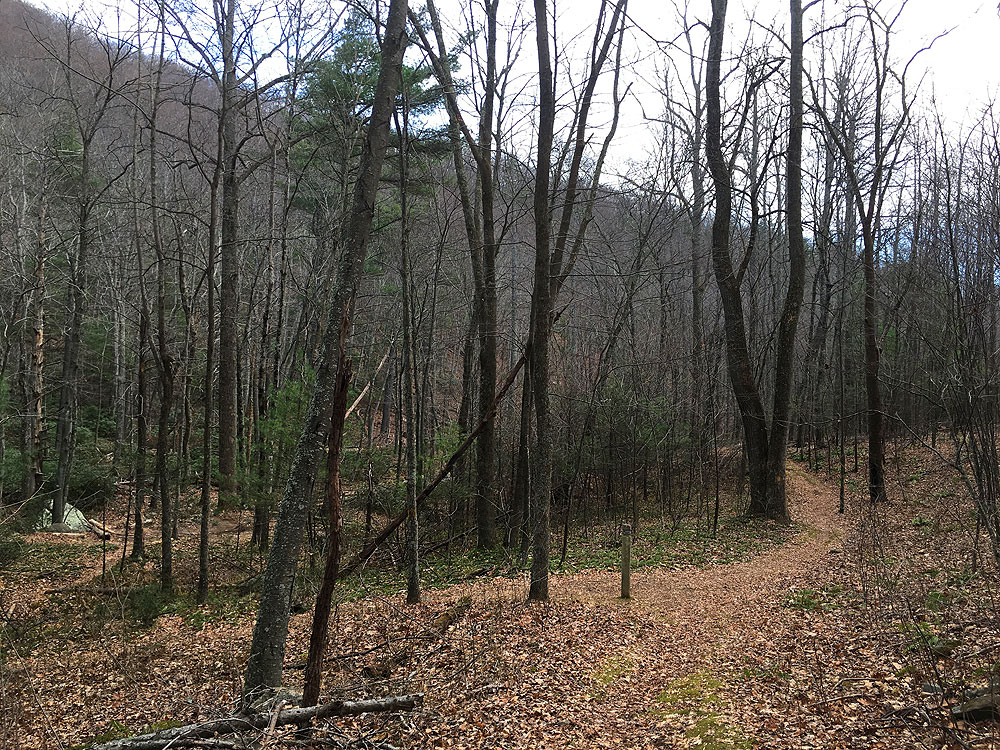
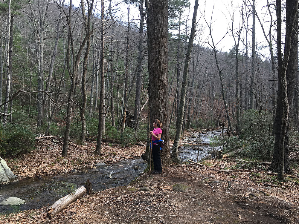
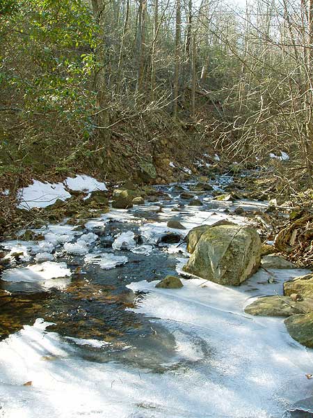
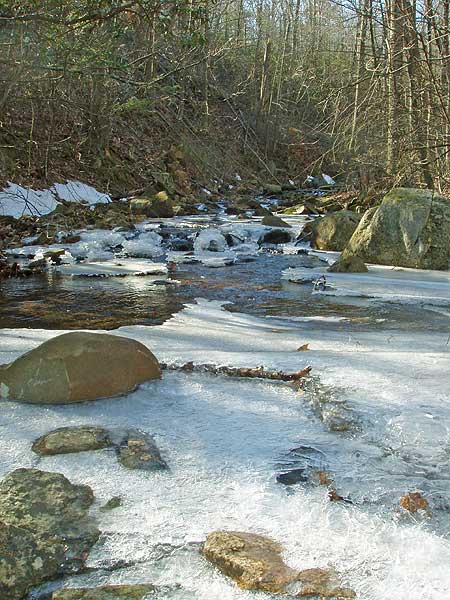
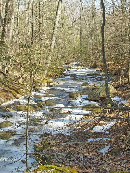
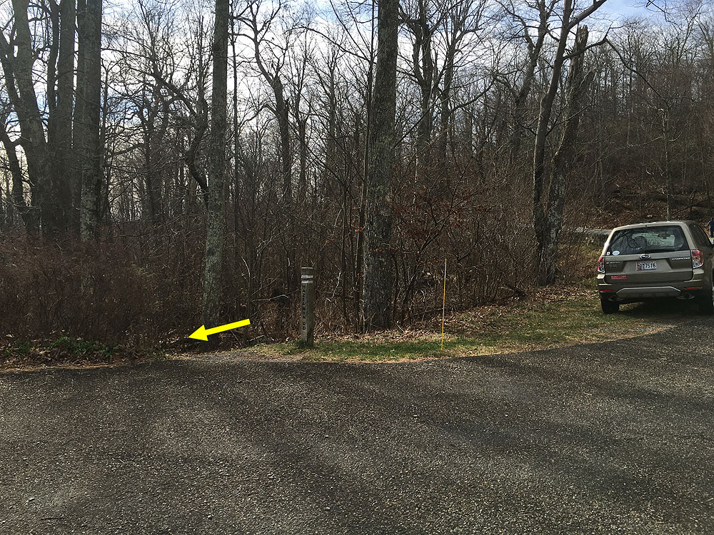
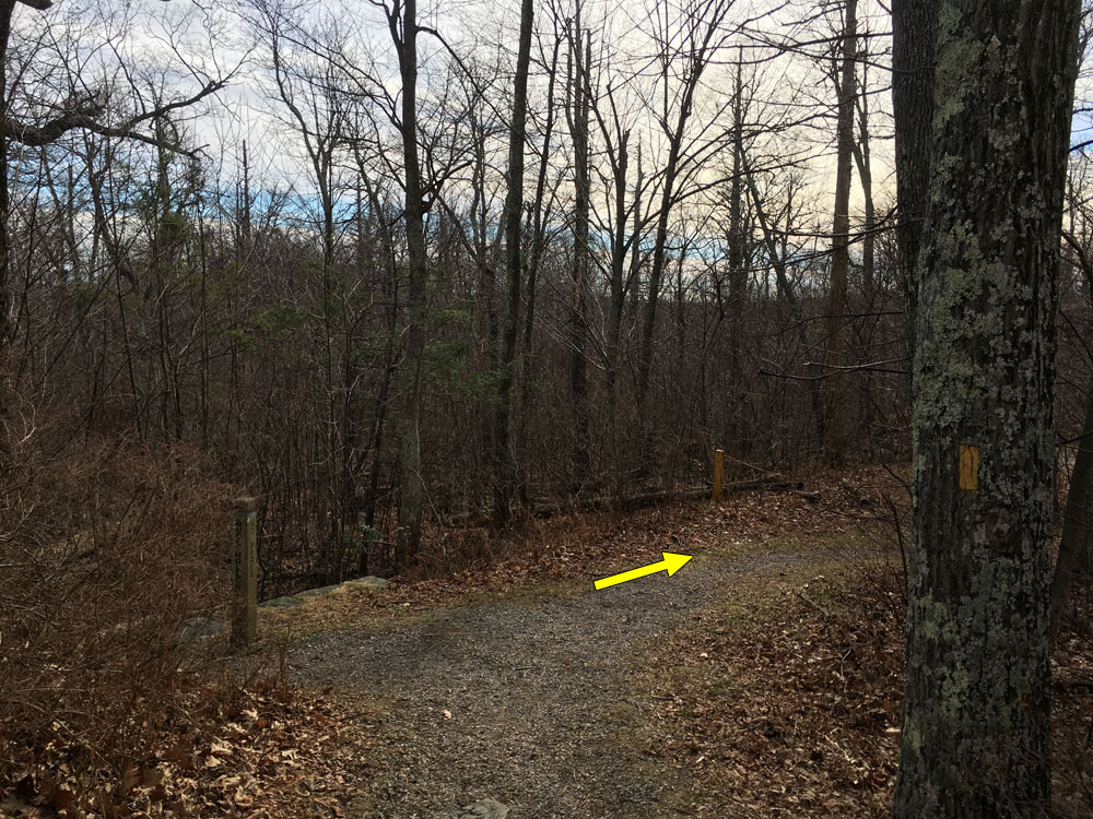
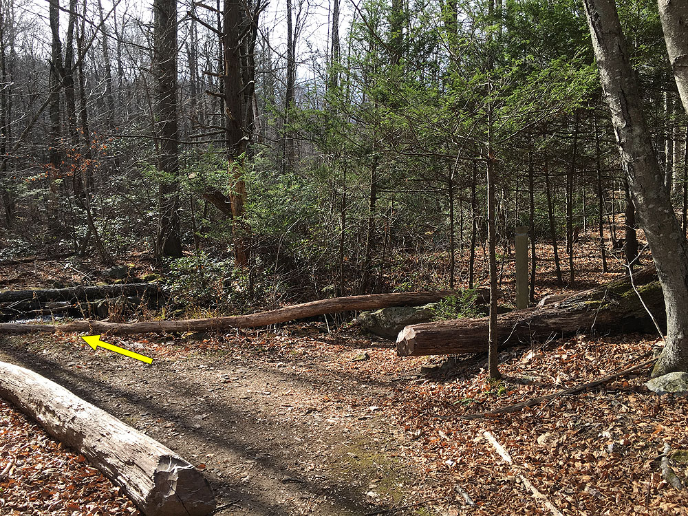
Mile 0.44 - Turn right downhill staying on the Hazel Mountain Trail. Soon the trail will turn back to the left passing through a section of Mountain Laurel. As the trail begins to level out the upper section of Hazel River will become visible in places 200 yards on the right. Continue along the yellow blazed Hazel Mountain Trail to the junction where the White Rocks Trail comes in on the left.
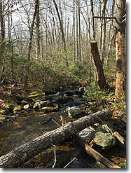
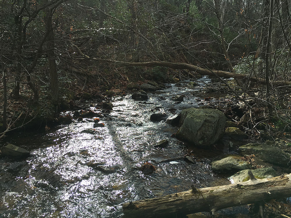
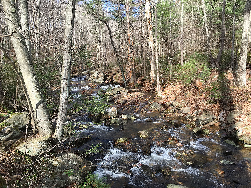
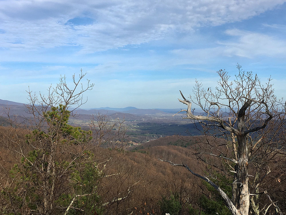
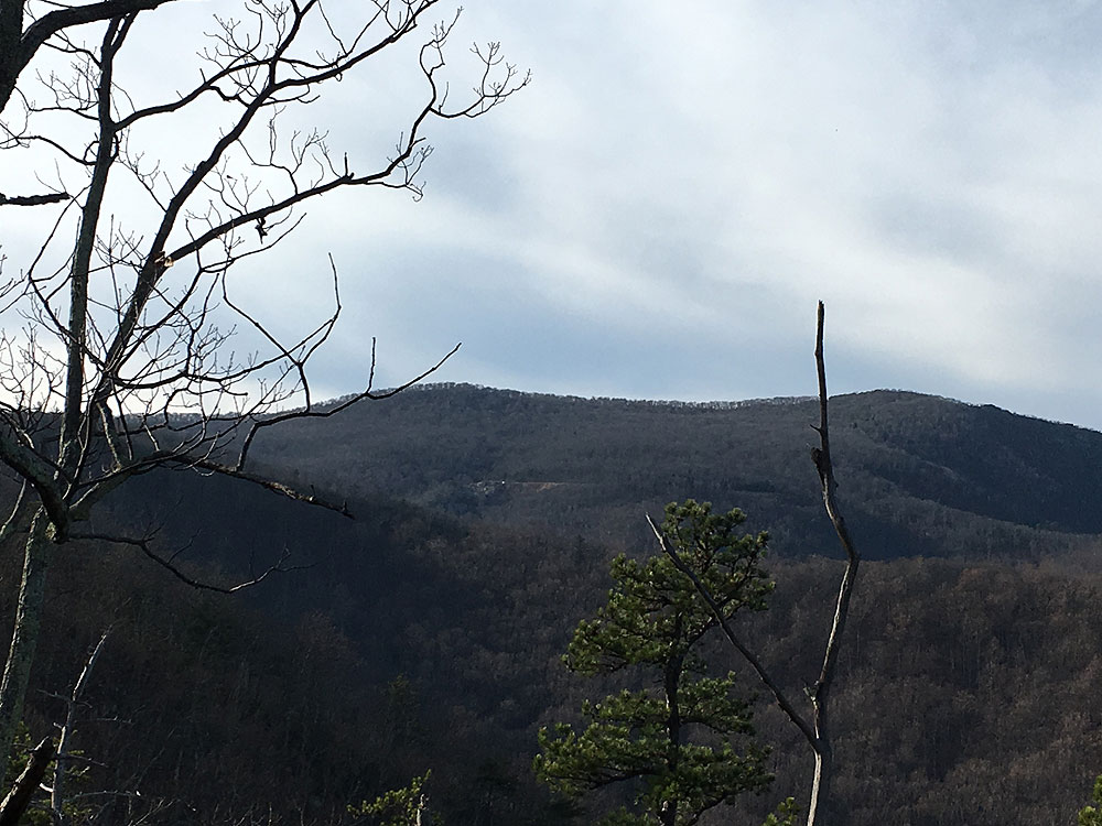
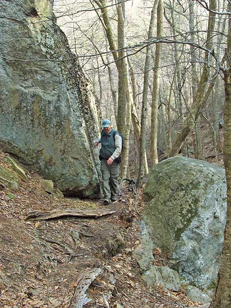
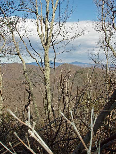
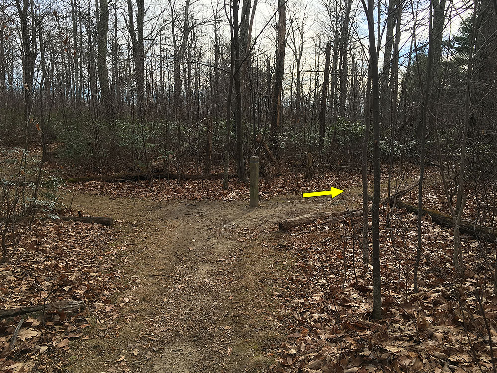
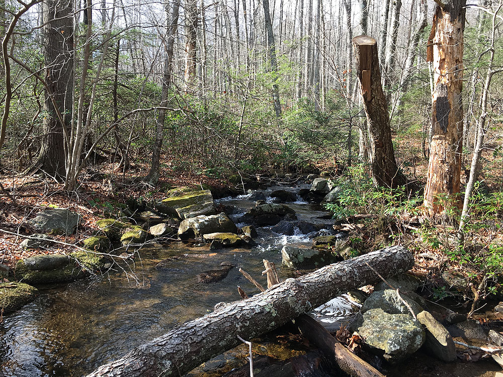
Mile 4.85 - Turn left upstream on the yellow blazed White Rocks Trail, and soon arrive at the lower and last crossing of Hazel River. This crossing can be challenging and sometimes requires fording if the river is high. After crossing Hazel River the White Rocks Trail becomes very steep for the next 0.3 miles to the ridgeline. For the next 0.3 miles the trail passes over several knolls. Look for a break in the trees on the left, and 2 unmarked side trails on the right marking the White Rocks vista. There are views to the west of Skyline Drive in the distance. On the right/eastern side there are views of the Sperryville Valley. Continue on the White Rocks Trail for another 0.5 miles to the junction of the waterfall side trail.
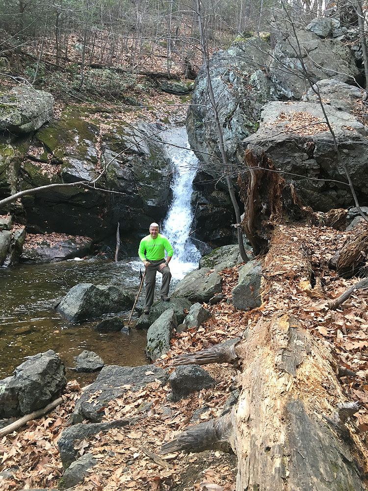
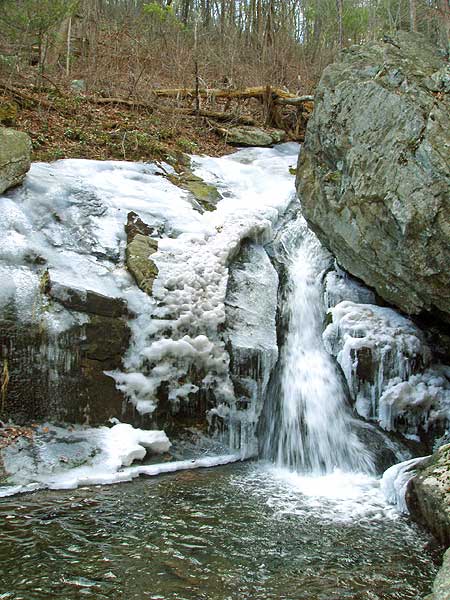
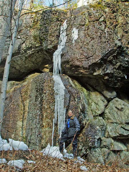
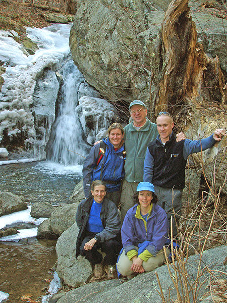
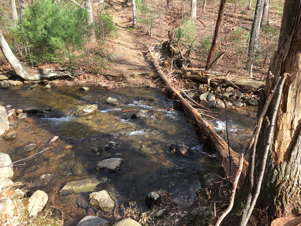
Mile 6.63 - Turn left downhill towards the Hazel River, soon the trail becomes very steep for the remaining 0.1 miles to the river. There is a large swimming hole at this point, and 50 yards upstream the main waterfall and small cave. Return back to the White Rocks Trail.
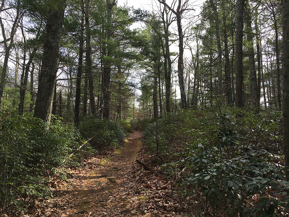
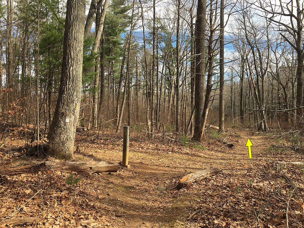
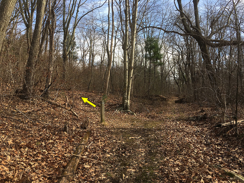
Mile 6.83 - Turn left on the White Rocks Trail for 0.78 miles to the intersection of the Hazel River Mountain Trail you past earlier.
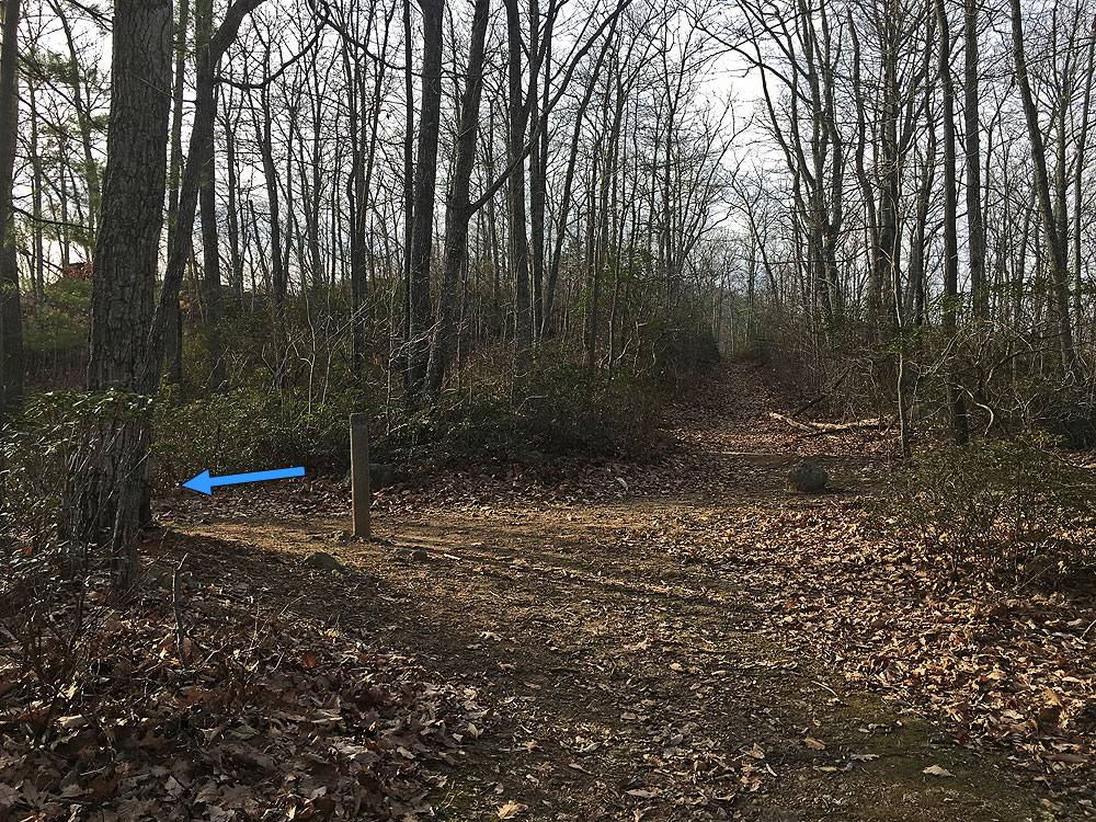
Mile 7.61 - Turn right on the Hazel Mountain Trail following it back uphill to the intersection of the Buck Ridge Trail.
Mile 8.64 - Turn left uphill staying on the Hazel Mountain Trail.
Hiked this as a beginning backpacking trip for my wife. Did it in two days, it was pretty straightforward. Going counterclockwise around the loop is definitely the right choice. Lots of small streams on the whole loop. Dog did pick up a lot of ticks, but that was expected. There are about three decent campsites at the bottom near the river ford, and another two-three sites on the ridge above the waterfall trail. We camped at the ford, and those sites looked better than the ones near the waterfall. Not too many views, but a very beautiful lush June hike with lots of shade and not too hot.
By:Alex
Rating:
Date of Hike: Sunday, May 26, 2019
This was a great hike! The steep sections were pretty strenuous but paid off with nice views on the ridge. The first half of the loop (going off hiking upward directions) is pretty unremarkable, but the ridge after the steep section offers some great views.
DON'T GO TO HUNGRY HORSE LANE! I initially tried to go to Hungry Horse Lane to hike up to the loop from another trail, as a few posts suggested. Though it's easy to find, the road is littered with Do Not Park, Private, and Towing Enforced signs. It was unclear whether that is a truly private road, or those signs are posted by locals trying to dissuade hikers, but I did not want to risk coming back to no car a few hours later.
By:Birdman6
Rating:
Date of Hike: Wednesday, April 18, 2018
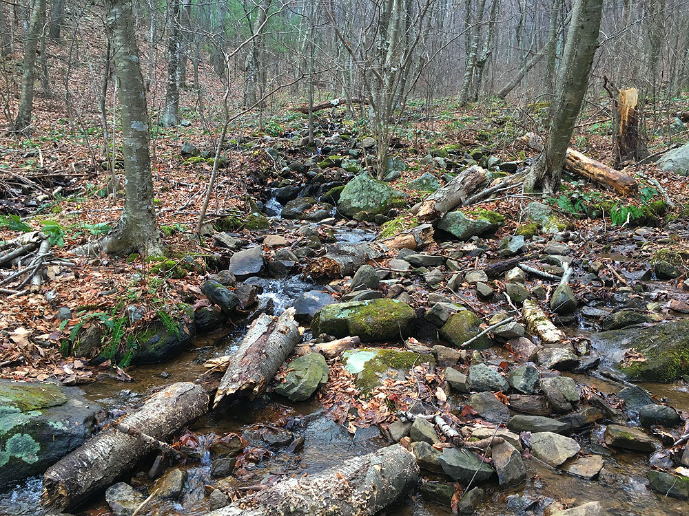
Don't know what defines a great hike. This was fun for someone up for a challenge. A lot of water and considerable bushwacking. We hiked in from Skyline Drive east on the Hazel Mountain Trail. At the intersection with White Rocks Trail we turned northeast so we did the trail somewhat in reverse. Several trees down on the White Rocks Trail before the falls. At the falls spur, I would suggest you leave your packs at the top and take only what you need to the falls (it is a scramble.) Continuing on White Rocks after the falls, there is a great camping site to the left of the trail. Several trees down on this section of White Rocks Trail before you get to the intersection of the Hazel River Trail. Good camping spot at the intersection of the White River Trail and the Hazel River Trail before crossing the Hazel River although the dampness of the spot leads me to believe it gets a little swamped during heavy rains. Hazel River was at Spring levels so we had to ford the river. Hazel River Trail southwest seemed totally blocked. We continue east along the Hazel River. We found a couple of logs to cross over at one point but all others required fording. (Bring sneakers or watershoes to change out of hiking boots.) Intersected the Sam Ridge Trail heading southeast and then turning back to the southwest. Seemed like we were climbing all the way-constant uphill and switchbacks. Piles of fall leaves led me to believe Sam Ridge Trail is not hiked much. Sam Ridge Trail is measured at 2 miles. Both my senses and my fitbit tells me it is a lot longer. We camped on the mountain just .5 miles before the intersection of the Sam Ridge Trail with the Hazel Mountain Trail ( Not optimum but there are several nice flat spots to the right of the trail.) After we rejoined the Hazel Mountain Trail, we had to do a lot of bushwacking as there were big trees down between here and where the Hazel Mountain Trail intersects the Hazel River Trail. As we passed by the Hazel River Trail we looked northeast down the trail and all we could see were downed trees. We continued northwest on the Hazel Mountain Trail. Several downed trees across the trail that we had to climb over or scoot under. Forded the Hazel one more time. Completed the loop where Hazel Mountain Trail and White Rocks Trail once again meet then headed back to Skyline Drive.
By:Kristin G
Rating:
Date of Hike: Sunday, April 1, 2018
This was a really nice hike, I always love waterfalls. It's a .2 mile jaunt to see the falls, it's worth it even though it's super steep.
What I will tell you is there are a TON of downed trees right now. There were points where we had to veer from the trail for a while to get around the trees. It can be a bit challenging to try to get around some of the obstacles.
I look forward to doing this in the summer when it's green and lush.
By:Sean
Rating:
Date of Hike: Tuesday, December 19, 2017
Took advantage of a warmer winter day to do this hike. The trails are relatively smooth. Just saw one other hiker. Some better views with the leaves off the trees. There were multiple stands of mountain laurel throughout the high that added some welcome green. The falls were nice. The "cave" was a bit of a letdown -- it's more like a rock overhang.
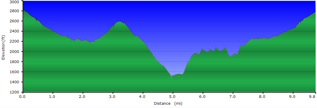
I've been on many hikes nearby of similar distance and elevation change (Corbin Mountain, Old Rag, etc.). On all of those you go up and then down. Those have never been a problem for me. Here you go down first. Getting back up in the last half, for some reason, really wore me out. I note a few other reviewers had similar observations. I took 6.5 hours, a good part of which was taking multiple breaks on the way back up.
By:Beth
Rating:
Date of Hike: Saturday, May 28, 2016
TICKS GALORE!!! There was an area within the first 3 miles of the Hazel River Trail where the trail was not well established and your legs consistently brushed up against foliage. I got ticks EVERYWHERE! I found 5 on my head, more than a dozen crawling on my clothes, on my skin under my clothes. Not to mention, I had two dogs with me and they were covered in ticks! Even if there were no ticks, I still would not recommend the Hazel River trail. There is nothing to see until you get to the large river crossing where you may have to wade through, and then at that point you're less than a mile from the mountain top over look. Before then, any stream crossings mentioned are so small I would consider them insignificant. You do not follow the Hazel River. Most of the time, it is not within sight or hearing. Only a couple of times can you hear it, and as mentioned up above, all crossings except for the one big one, are tiny and insignificant. After completing this trail, if I could do it again, I'd start down Hazel River trail then take the first left onto the White Rocks trail instead of continuing straight down the Hazel River trail, because at that point, White Rocks will take you to the Cave Falls, which was the highlight of this trip, and after that is the mountain top views along a mountain ridge. If you want, you can go a little further to see the hazel river and wade across it, but really, that is all there is worth seeing on this hike and going further is complete waste of time, not to mention the ticks you'll encounter if you do!!
By:NH_Hiker
Rating:
Date of Hike: Saturday, December 19, 2015
I did a variation of this hike that was more difficult and a few miles longer. Started at Broad Hollow trail off SR681 (this site also has a hike for that), hiked up to White Rocks trail, and then descended to the Hazel River. Instead of coming up that trail though, I took the Sams Ridge trail back up, then took the Pine Hill Gap trail down with a short (.5 mile) road walk back to the car. All told (with the waterfall side trip) it was almost 14 miles, with 4100 feet of elevation gain...took about 6.5 hours. Sams Ridge was a long slog up, I wouldn't recommend unless you were looking for an extra work out (I was). White Rocks look-out was awesome, even though you are low in elevation the view is panoramic. The big plus was that I didn't see anyone until about a half-mile from my car. I was in total solitude all day.
By:aldikuma
Rating:
Date of Hike: Thursday, November 19, 2015
Usually you can expect several people on any SNP hike, but I didn't see one other person the entire time. Granted, it is mid-November and the leaves are all down, it's a Thursday, and it was drizzly and foggy all day, but I was pleasantly surprised to see no one else. I do think most people just hike down to the waterfall and back, though. I really liked this hike, as it had a bit of everything. On the ridge, the fog obscured any views, but I'm sure they were beautiful, and the mist and fog in the trees with no wind made it feel peaceful and quiet. There are several water crossings, and it may take finding a downed tree bridge a bit off the trail to make it across when the water is high and covering the rocks. I strained my knee on the long descent and it was a little difficult to manage with the leaves covering the scree and the rain dampening everything, but I wouldn't say the was a super challenging hike - maybe more around a 4 rating. The steep ascent doesn't last long, but there are a lot of short inclines after that one so it can wear you out by the end. Five hours is accurate to complete, but if you're a newbie hiker, I would recommend setting aside 6-6.5 hours for this hike. Best part was stopping at an overlook after to see the fog in the valley below at sunset - stunning!
By:CVB
Rating:
Date of Hike: Saturday, July 25, 2015
Fantastic hike for the summer! Hiked this with my girlfriend, who is new to hiking, so I was hesitant at first given the difficulty rating. Don't let it scare you! While this is strenuous and certainly shouldn't be someone's first hike, I'd venture to say that most hikers will be able to handle it if they take their time. We did the hike as written and it gets better as you go starting off as a standard forest hike without much elevation change at first. Just know that you will deal with spider web after spider web at this first portion, which seems to be hiked rarely. The river portion is a fantastic area to take a break and possibly even swim, though we opted to swim later on at the falls. We did this in the middle of the summer and while there were not many views given the dense foliage, you could see some of the surrounding mountains at times and I imagine it would be gorgeous in the spring or fall.
The portion that earns this hike its "strenuous" rating is the steep incline at the end of the river coupled with the fact that the rest of the trail is mostly uphill. After the initial steepest portion, though, it levels out and continues with only modest elevation gains. We saw a young bear at the top of the initial steep portion.
While you will likely be tired, don't skip out on the falls/cave hike! While its a steep downhill trail, the falls are great and have a few spots to swim. The only other hikers we saw on the whole trail were at this spot, and there were a lot of them, but otherwise it was a great hike to find some solitude. I recommend having a stick to help with the climbs and spider webs if you go on this hike.
By:G
Rating:
Date of Hike: Tuesday, April 28, 2015
I don't like water crossings for the sake of water crossings, and this trail has plenty of that. However, it's a real nice hike with a couple caveats.
As of my hike date, the Hazel River Trail segment was in need of attention. 5 large trees blocked the trail at a few different points. The last three river crossings weren't safely passable without wading in 6-12 inches of fairly fast water. I had to go off-trail to find a suitable crossing point for one of the crossings - even wading would be dangerous. The crossings may be a seasonal issue and the park will likely fix the trees soon enough. For now, I strongly suggest bringing reliable hiking sandals and switching in to them once you get to the river trail and switching out just before you start the steep climb.
I agree with some others - this trail is not easy but the steepness is a bit overstated. The steep section is right after the Hazel River Trail segment and while quite steep is mostly graded with a few small flat sections to catch your breath. Much easier than stone step steep sections (like those on the Cedar Run/White Oak trail). Honestly the toughest part was going down to and up from the falls. Very steep stone steps. But you shouldn't skip out on the falls - it's a real nice lunch spot.
Once they fix up the Hazel River Trail segment, this is a 5 star hike. Until then, make sure to prepare for the tricky Hazel River Trail segment and a couple tough steep sections.


