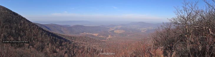
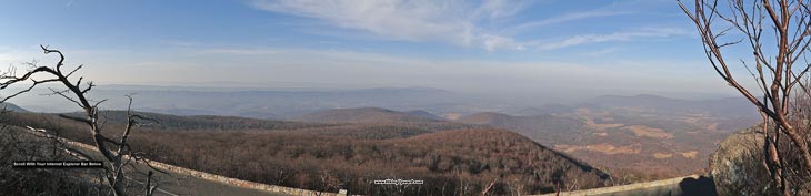
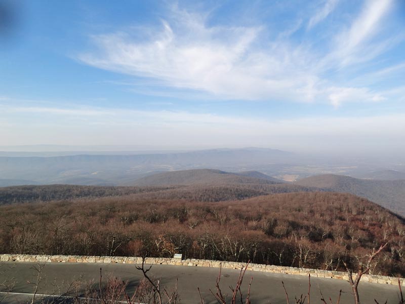
The Hogback Mountain hike, with its spectacular views west towards the Massanutten ranges, is located in an area of the SNP that has several beautiful hikes including Piney Branch and Little Devil Stairs. With just over 1,200ft of vertical gain and 7.5 miles, this is a pleasant moderate day hike.
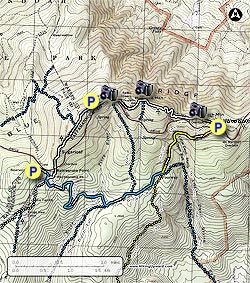
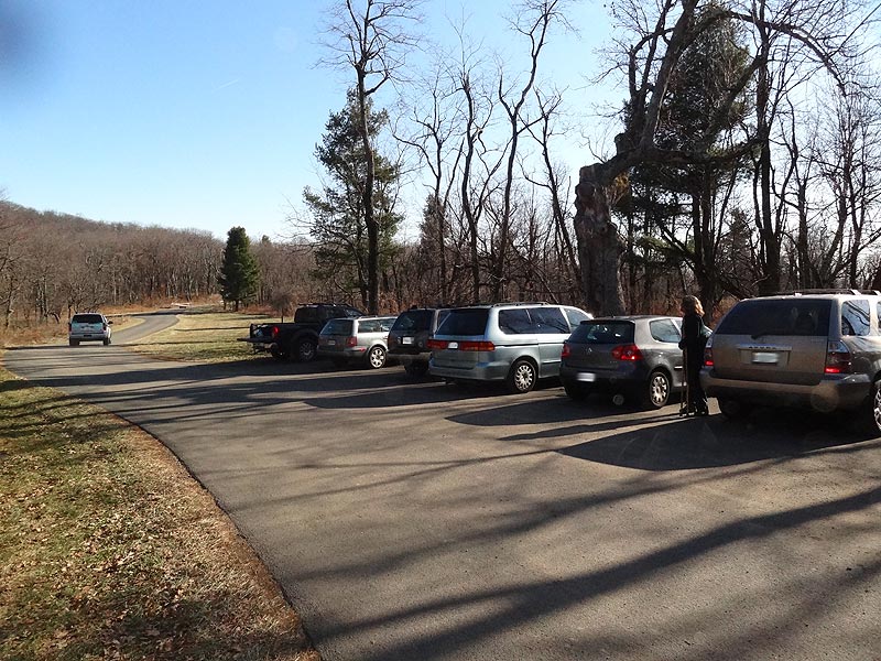
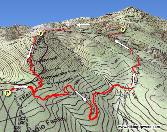
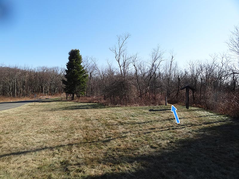
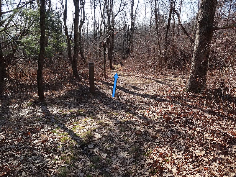
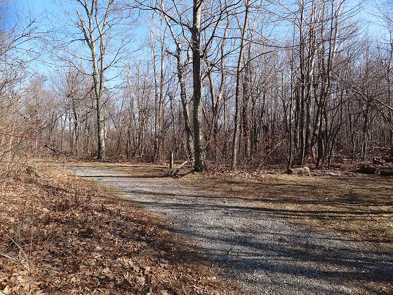
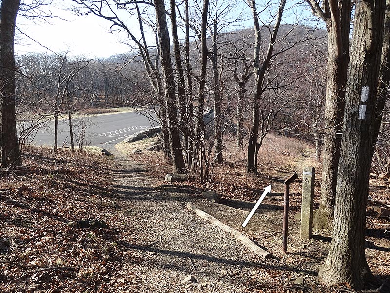
Mile 0.0 – From the parking area (located 75 yards off Skyline Drive) walk back towards Skyline Drive and the Piney Branch trailhead. From the kiosk trailhead, start down the blue blazed Piney Branch Trail as it passes through Mountain Laurel before reaching the 4-way intersection with the Appalachian Trail (A.T.).
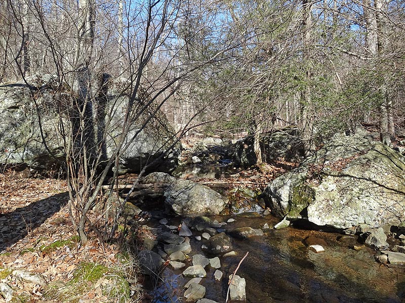
Mile 0.2 – Cross over the A.T. and continue down the Piney Branch Trail as it continues its descent. The Piney Branch Trail will cross the upper portion of Piney River then reach the intersection of the Pole Bridge Link Trail.
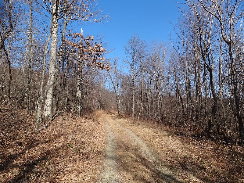
Mile 1.7 – Turn left on the blue blazed Pole Bridge Link Trail for 0.4 miles and arrive at the intersection of the Sugarloaf Trail.
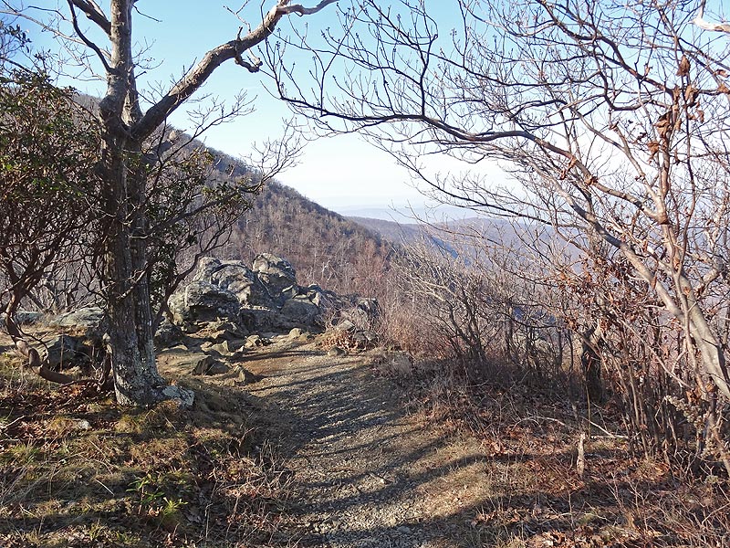
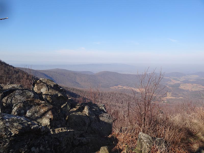
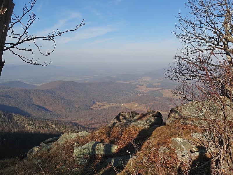
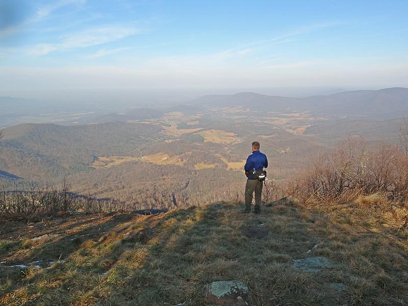
Mile 4.4 – Continue on the AT descending towards the Skyline Drive Overlook. Just before the overlook parking area turn right remaining on the A.T. and passing through a clear cut. At this point the A.T. makes its steepest climb of the hike gaining over 300ft with several switchbacks on the way to the ridge. After reaching the ridge, the A.T. levels off and passes a small connector trail that leads to a Spring. Pass a nice view, then in 40 yards reach the main vista on Hogback Mountain.
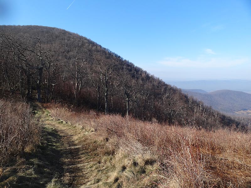
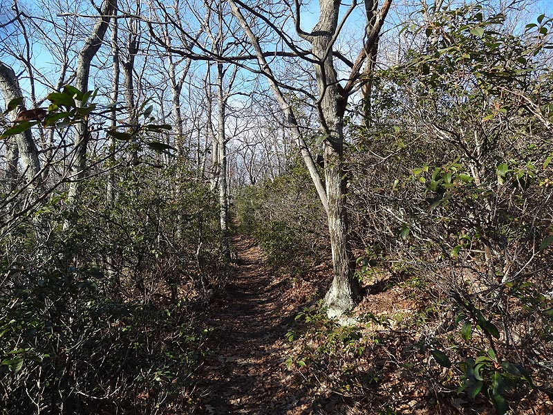
Mile 5.4 – From the main Hogback Mountain vista continue on the Appalachian Trail as it winds around the back of the mountain, through a stand of Mountain Laurel, then crosses Skyline Drive and passes the intersection of the Sugarloaf Trail.
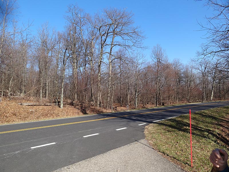
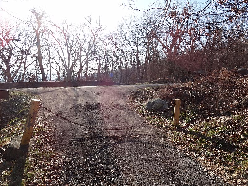
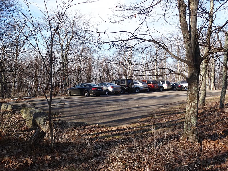
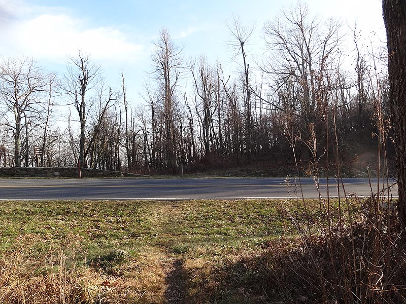
Mile 5.7 – From the Sugarloaf Trail intersection the A.T. will climb for a short time where the last good view point of the hike overlooks the Hogback Mountain Skyline Drive overlook area. Now continue downhill and shortly the A.T will again cross Skyline Drive and pass a parking area.
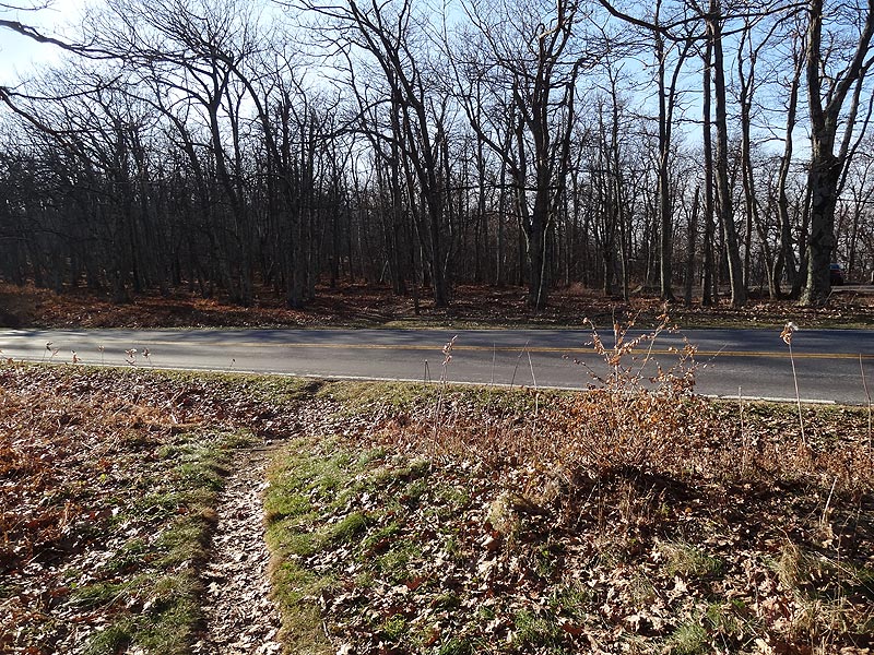
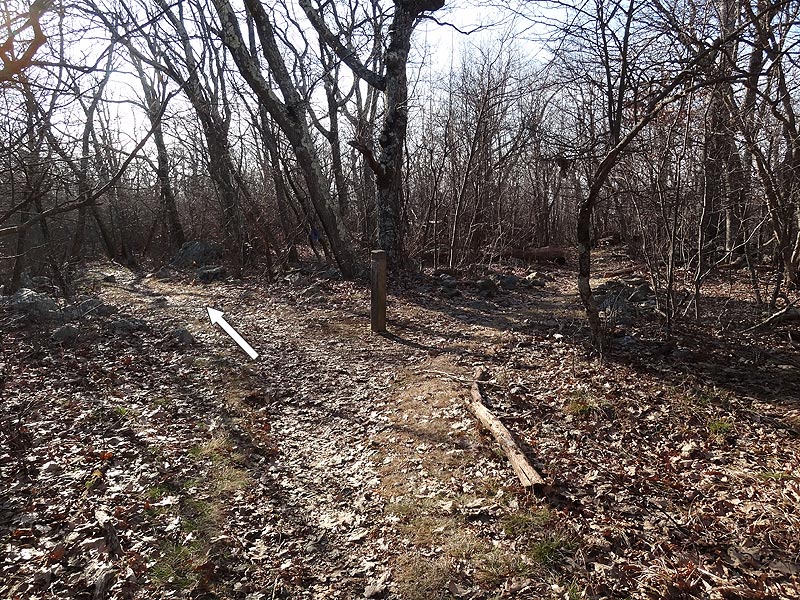
Mile 6.0 – After passing the parking area the A.T. will cross over a small rise, pass to the left of another trail intersection, then cross Skyline Drive for the last time. Continue downhill on the A.T. and in 0.2 miles from crossing Skyline Drive arrive back at the intersection of the Piney Branch Trail.
Mile 7.2 – Turn right uphill on the Piney Branch Trail for 0.2 miles back to the trailhead and kiosk.
Mile 7.5 - Arrive back at the Piney Branch Trail parking area.
Early December
Hogback Mountain Hike Comments
Archived Comments
By:Alan G.
Rating:
Date of Hike: Monday, December 31, 2018
This hike was a pleasant surprise. We had a beautiful day and enjoyed the views. With the recent record rains, Piney Branch River was flowing strongly and we stopped for several good pictures. Several other small streamlets were flowing along the first half of the hike. Hardest part was the short section of switchbacks up to Hogback Mountain. We found a camping area suitable for 4-5 tents at the 5.4 mile mark and offset from the 90-degree turn on the trail. A short climb up an abandoned trail (also close to the 90-degree turn) took us to the real peak and we found the U.S. Geological Survey Benchmark medallion in a rock indicating 3,474 feet of elevation.
By:Swass
Rating:
Date of Hike: Saturday, March 10, 2018
Great hike! Easy enough trails to follow. It was a little muddy today and there were trees down from last weekend's nor'easter Winter Storm Riley but they were easy enough to get around. The only one that could really cause any problems was at the intersection of Sugarlaof and Pole Bridge Link Trail.
By:Sean
Rating:
Date of Hike: Monday, September 26, 2016
It was a foggy day. The fog never lifted so I can't comment on the views, but it was a good hike overall. There are numerous places along the trail to to off-trail for a few yards and hang out. I was glad to have the GPS for guidance. I see several complaints about the views but it is a nice hike otherwise. When the weather is better, maybe in the winter with the leaves gone, I may try it again.
By:Teresa
Rating:
Date of Hike: Sunday, September 25, 2016
This was the first Hiking Upward hike that I was disappointed in. I would give it a 3 for views. The first overlook was the nicest, but we only stayed there a short time because there were other people there talking loudly, it was a small area, and we expected the "main overlook" to be bigger. We were wrong. We weren't sure what the main overlook was, but it was either one looking down a powerline trail or one looking through the trees. We ended up looping back, thinking we missed it somehow. The view from the skyline drive overlook is nice, but not something I want to spend hours hiking to. The parts walking though the woods were nice, especially on Hogback Mountain, where there were a couple of groves filled with ferns. We had hiked the first part of the trail a couple months ago and saw a couple bears, and someone else said he usually sees bears there, but neither of us saw bears this time. That part of the hike was also marred by a loud talker. My husband thought it was a nice hike, so he would probably give it 3 stars.
Addendum: Looking back at the trail description I see that the pictures of the main overlook do not correspond to our view. Maybe these were taken before the power lines were put up, and maybe there as a lot of tree growth since the picture was taken. Indeed, I don't remember a clearcut area.. We did get a view similar to the one shown here, but that was by following an overgrown social trail that headed out under the powerlines.
By:Randy W.
Rating:
Date of Hike: Sunday, September 6, 2015
The best view for this hike is actually at the overlook along Skyline drive where the cars can stop. The view in the description of the hike was somewhat disappointing as there was only room for a few people at a time. When we got there to take pictures, we realized there is a utility pole and power line right in the middle of the view, so not that great. After walking out to the road, we got a much better view.
The starting point is a little hard to find as there are no signs from the road and the trailhead is back away from the parking area. The trail started off with several piles of bear scat, so that was a little concerning, but we didn't see too much the rest of the way. This trail varies from downhill to steep uphill, from rocky trail to open fire road, so it was a nice variety. Overall, there are really no open valley views until near the end. Bring good directions and a GPS watch to help navigate as there are a few intersections where it is confusing.
By:Jimmy
Rating:
Date of Hike: Saturday, April 18, 2015
This was overall a very pleasant hike. I don't agree with the 5 rating for views, but would instead put down a 3.5 or 4. If you include the views that you'll get along Skyline Drive then I guess you could bump it up. It was a beautiful day with the temperature right in the upper 70's and sunny. This is a very pleasant hike but not strenuous at all. If you're looking for a tough workout then I'd look to others in the area.
I would definitely recommend bringing the bug spray because the gnats were out in full force.
Happy hiking!
By:Jess
Rating:
Date of Hike: Saturday, December 27, 2014
We hiked around Hogback Mountain but did a little different of a hike thats recommend on this page because we brought our new puppy for her first hike and we wanted to modify the hike so it was shorter/easier for her. We parked at the Little Hogback Mountain overlook and started off south on the Appalachian Trail. We hiked out to the outlook (the one with the powerline) and then hiked back to the parking lot and up to the overlook where you could see Hogback Mountain. The views were great! Definitely want to go back when the pup gets older to do the whole hike. To read more about my trip and to see some pictures visit here http://appalachianhikinglove.blogspot.com/2014/12/hiking-hogback-mountain.html
By:aldikuma
Rating:
Date of Hike: Sunday, September 7, 2014
It was a beautiful day to hike - sunny and in the low 70s. My dog and I did this circuit starting in the late afternoon, entering SNP at Thornton Gap and driving north to the trailhead. We only ran into 15-20 people along the way (some we ran into twice!), so I didn't think that was bad for SNP. This hike goes past several overlooks and is never that far from Skyline Drive, so for much of the hike I could hear cars and people. We saw one large black bear scooting into the woods, which was cool. The hike up Hogback Mountain was steep, but not bad. The views from the top were not that impressive due to the power lines, but it would likely be better when the trees are bare - the best view IMO was at Mile 4.1. The connector trail to the Spring is not worth it, unless you want the extra workout. The Spring is not much to see - just a concrete well with mud around it. We drove north to go out through Front Royal, but stayed to watch the BEAUTIFUL sunset from one of the many overlooks to the left. It was neat driving this way, as you could see where you crossed Skyline Drive during your hike.
By:Deanna
Rating:
Date of Hike: Monday, May 12, 2014
Overall great hike.
Note there aren't any great mountain views until just after the 4 mile mark. But during these first miles, had four black bear encounters!
Views are stunning once you get to them. I suggest visiting the Skyline Drive overlook, which is on the road you cross after you pass the vista.
One steep climb which is pretty tiring, great workout.
4/5 because it took a while to hit the views and the main vista was closed due to a preservation project. Ate lunch on the Skyline Drive overlook.
By:Jefferson
Rating:
Date of Hike: Sunday, May 4, 2014
I hiked this loop on a beautiful, sunny spring day with temperatures in the mid 70s and a cool breeze. This is a fairly easy hike the only somewhat strenuous part is the quick climb up hogback mountain shortly after you get on the AT. You'll notice the switchbacks on the map. We hiked it counter-clockwise, per the instructions here. I'd recommend this for people who are just getting into the outdoors or who just want a quick bit of fun and exercise.
I was thrilled to see a large black bear within the first two miles of the trek. He/she was digging around under a log just off the Piney Branch trail before the river crossing. My wife hasn't spent as much time out in the woods as me, so this was her first bear sighting. No doubt it helped her hone her wilderness observation skills as her eyes were peeled for the rest of the hike! The bear took no interest in us and we didn't bother him/her either. I've seen bears many times in Shenandoah and GWNF and this was probably the largest one I've ever seen.
The trail loop is very easy to follow with the excellent directions provided by this website. The trails are all exceedingly well maintained. In fact, I ran into a man named John and his family who were out painting blazes on the AT portion of the trail with the Potomac Appalachian Trial Club. We thank them for their service! There are several variations of this hike that you could do as well, since the loop crosses over so many other trails.
The vista on top of hogback mountain is fantastic. You can see all the way across the valley to the next ridge of mountains. Many wild flowers were in bloom along with way, including violets and...well I don't actually know what they're called--the nice looking small white ones that are about twice as tall as violets.
The "2" solitude ranking is well deserved. The AT portion of the hike is very close to Skyline drive and the motorcycles that come with it most of the time. This is not a very strenuous hike, but if you're curious, there are two certain opportunities to refill water bottles. The first is just before the 1.7 mile mark when the trail crosses the upper portion of a river. It rained a ton last week and the river was more like creek size than what I imagine a river to look like. We had no trouble crossing it. There are also several seeps and springs along the fire road, but I'm not positive that those run year round. And then there is the spring up on top of hogback mountain, just off the AT. There is a sign directing you to it.
This hike would be great for kids that are in good shape, adults that are in decent condition, and experienced hikers who just want to get out on a fun morning walk.
The hike took us 3:45. We stopped for a 30-minute lunch break on top of the ridge. A fit person could do it in 2:45 if he hauled it the whole way. Most people will probably come in around 4 hours if they walk at a leisurely pace.
We hiked this on a Sunday morning starting at around 9:30 a.m. and ran into several other small groups of hikers.


