|
| Length |
Difficulty |
Streams |
Views |
Solitude |
Camping |
| 12.6 mls |
 |
 |
 |
|
|
Hiking
Time:
Elev. Gain:
Links:
Resources: |
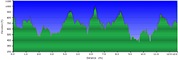
6 hours with 1 hour and 15 minutes of breaks
1,883 ft
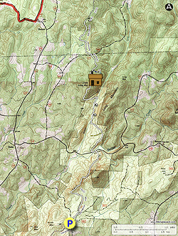
 Uwharrie National Forest Uwharrie National Forest
Topo Hike Trails Map (PDF)
Ophir, NC Weather Forecast
Garmin (GDB), Gaia/Trails App (GPX) (What's
this?)
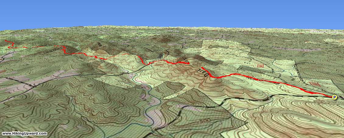
3D View of Route |
 By Trail Contributor: Zach Robbins (Contact Zach) By Trail Contributor: Zach Robbins (Contact Zach)
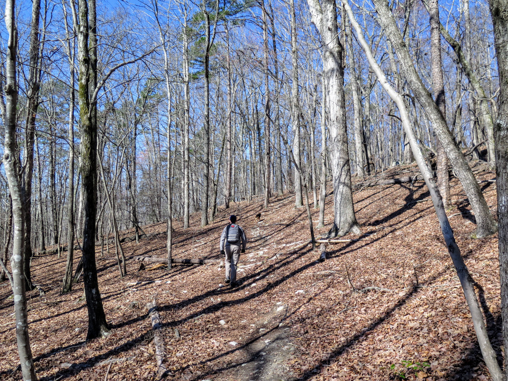
The Uwharrie National Recreation Trail is a long-distance trail that runs south-to-north through the heart of Uwharrie National Forest. In its current version the UNRT is over 25 miles long, and eventually it will be constructed to connect with the Birkhead Mountains Wilderness to form a 40+ mile trail, a perfect thru-hiking opportunity close to the largest cities in North Carolina.
The Uwharrie Mountains, once a mighty coastal range with peaks over 20,000 feet, have eroded to steep, rocky hills that top out around 1,000 feet in the national forest. This hike follows the newest, northern section of the Uwharrie National Recreation Trail where you’ll experience some of the highlights of the region. Beginning at Tower Rd the first 2-mi section follows the contours of rocky Dark Mountain. The next 3.1-mi section is the most scenic part of the hike as it climbs to the grassy bald of Little Long Mountain with panoramic views of the Uwharries. The last section is a quick out-and-back to King Mountain, the tallest peak in the national forest at 1,020 feet. Accessible roads crisscross the UNRT, affording the ability to vary the length of this trip for a shorter day hike or a longer backpacking trip.
| Mile Summary and Highlights |
0.0 - Follow Uwharrie Trail north from Tower Rd
1.2 - Rocky stretch below Dark Mountain
1.9 - Jumping Off Rock Trailhead on Flint Hill Rd
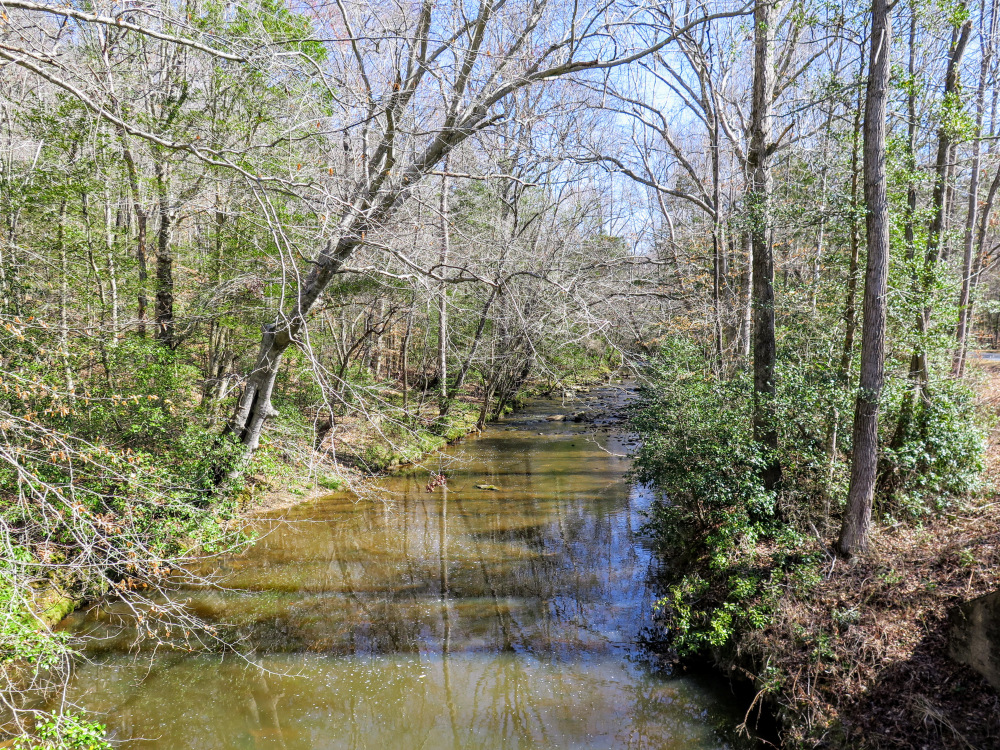
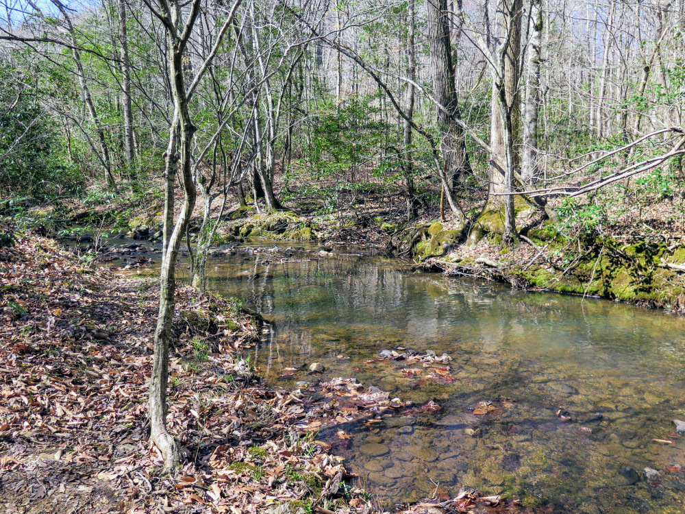
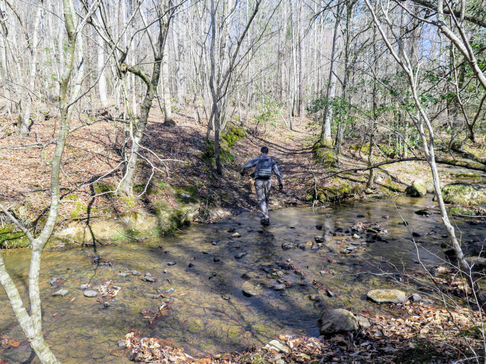
2.9 - Cross Poison Fork then parallel stream for a half-mile
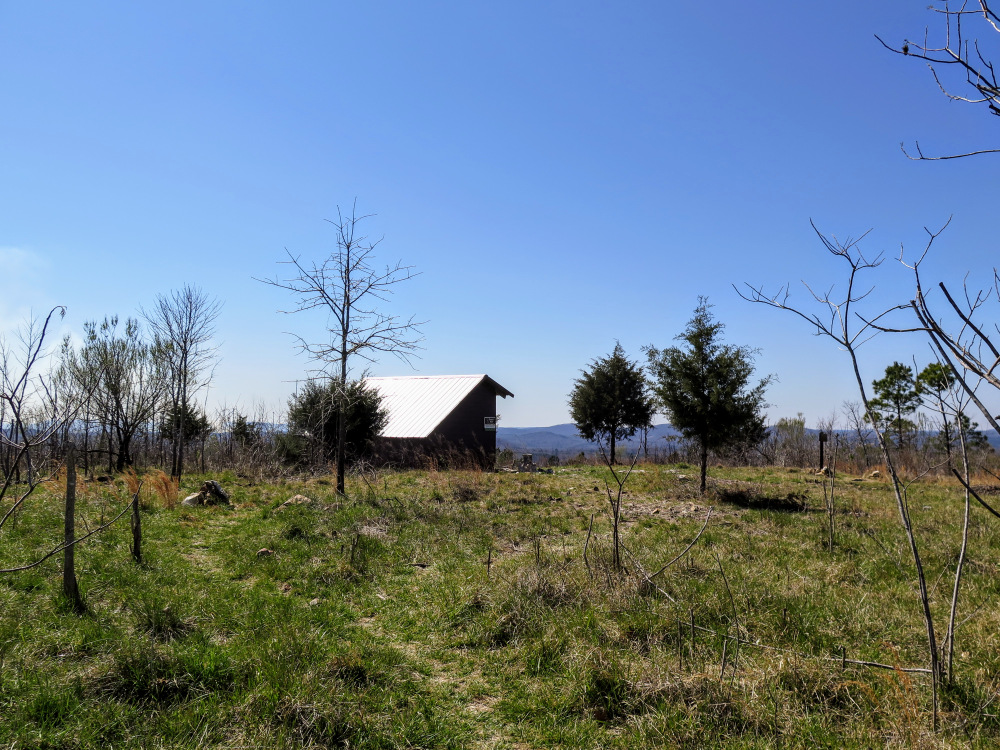
4.3 - Little Long Mountain summit (922 feet) and trail shelter with views
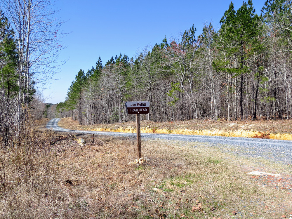
5.3 - Joe Moffitt Trailhead on Thayer Rd
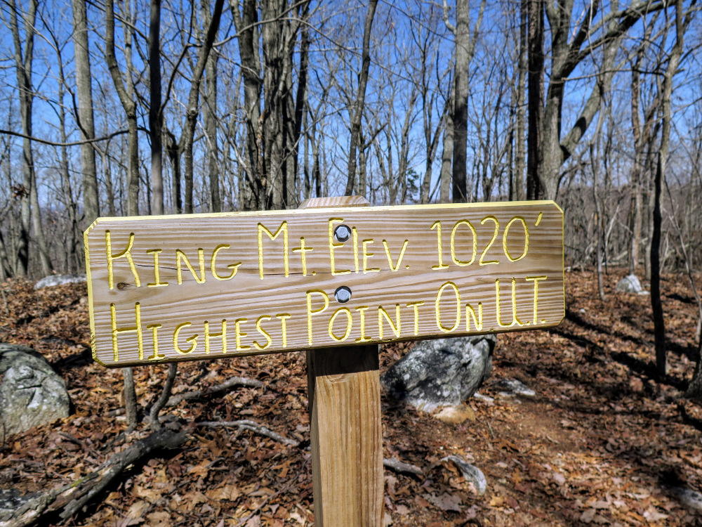
6.3 - King Mountain summit (1,020 feet), highest in national forest |
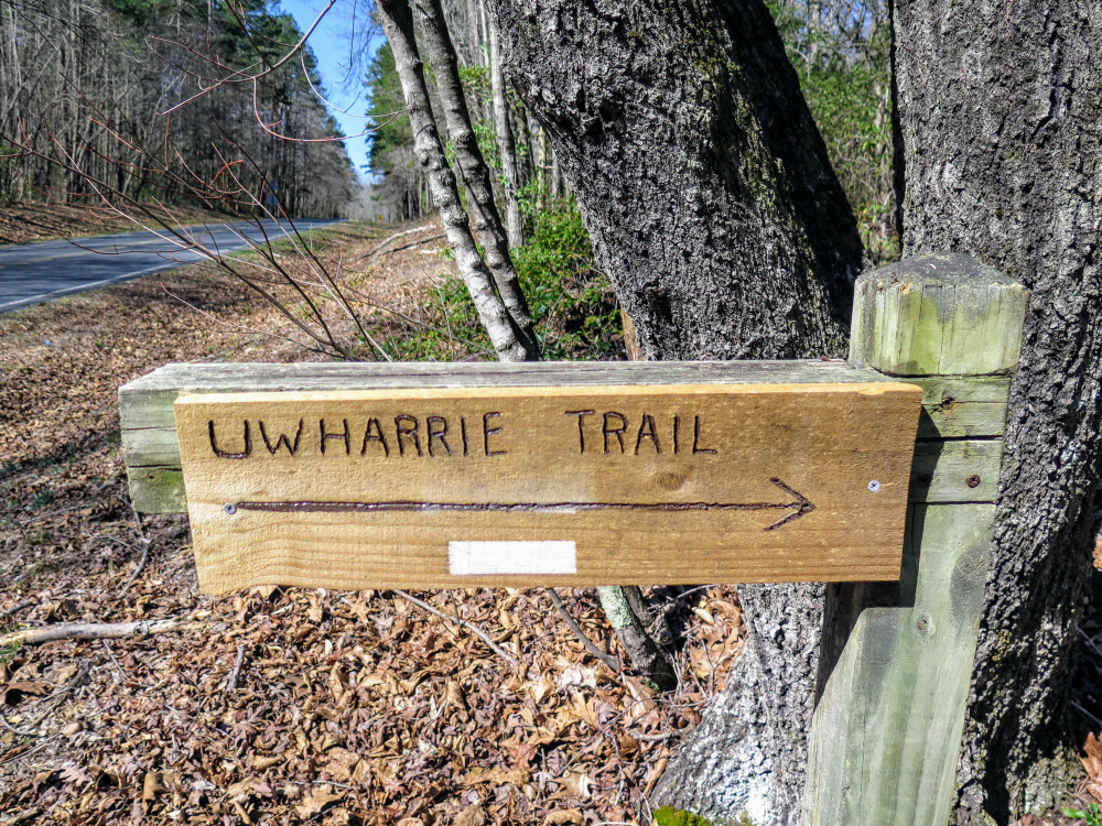
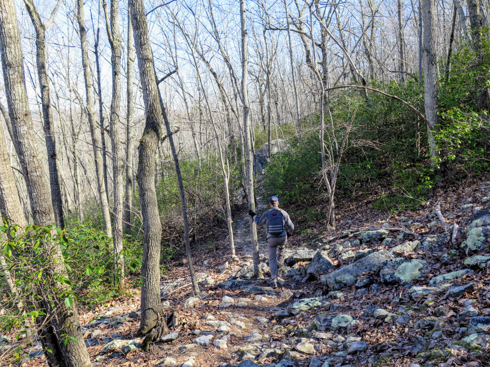
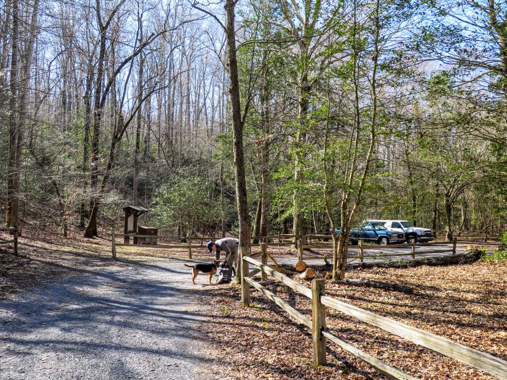
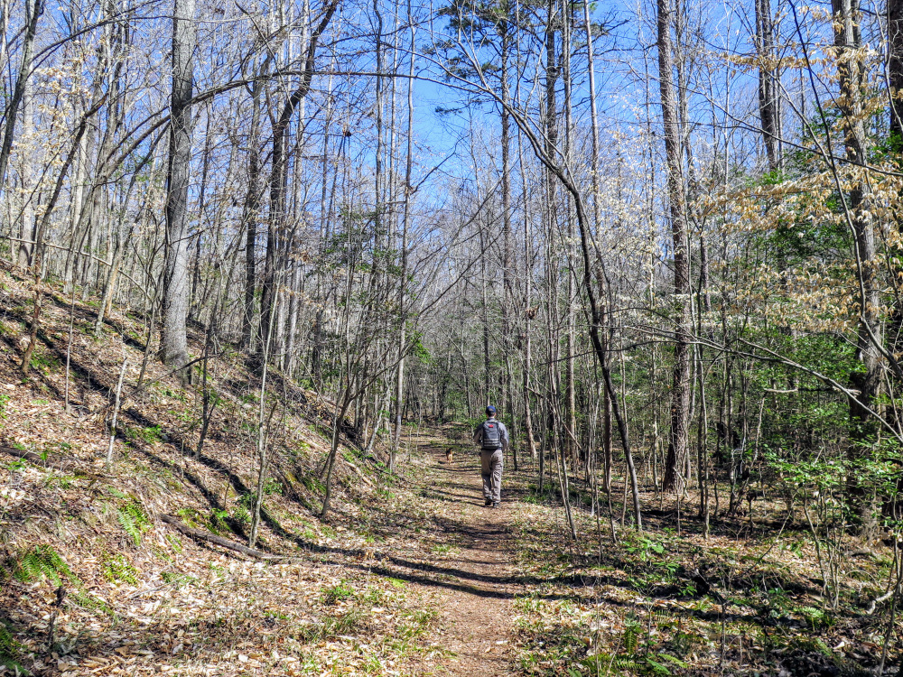
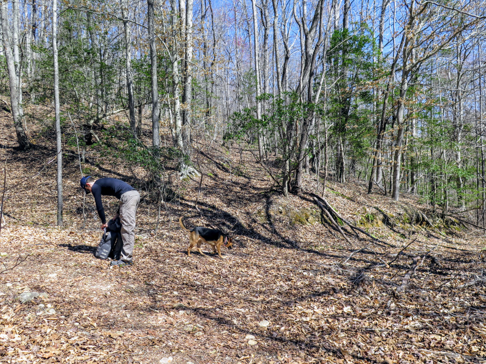
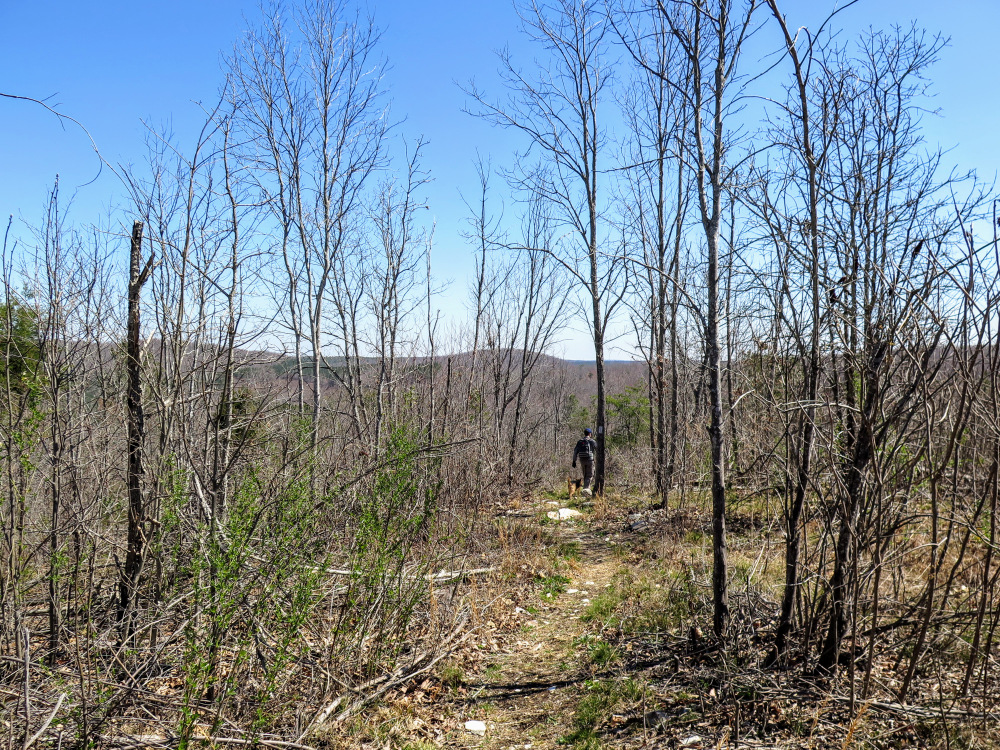
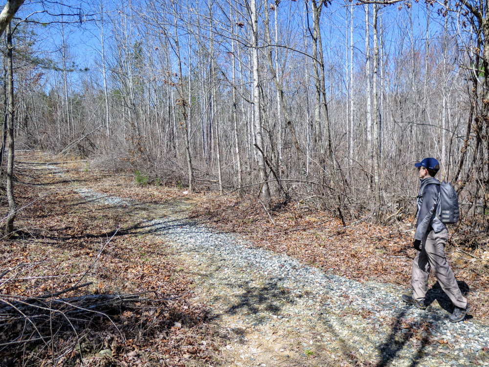
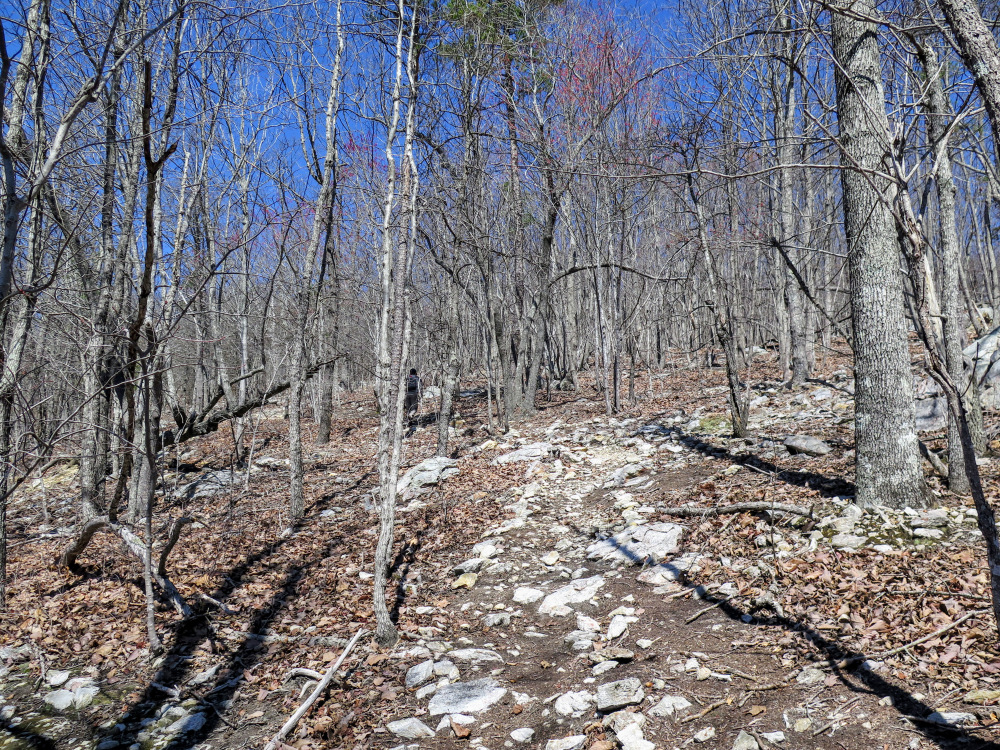
- Mile 0.0 – After you park on Tower Rd/SR 1134 follow the Uwharrie National Recreation Trail [276] (white blaze) north. The trail heads north through hardwood forests gradually climbing the southern edge of Dark Mountain.
- Mile 1.2 – Pass by a campsite on the right in a saddle below Dark Mountain. The trail follows the western slope of the mountain descending towards Flint Hill Rd. There are many large boulders on this stretch, this is the rockiest part of the hike.
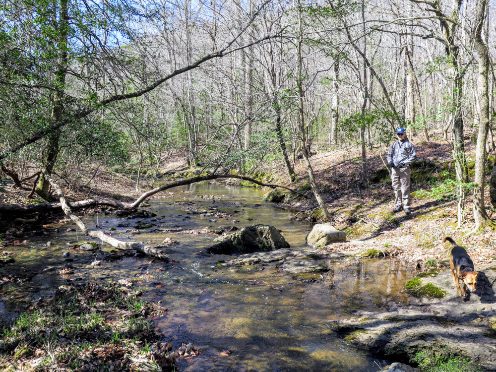
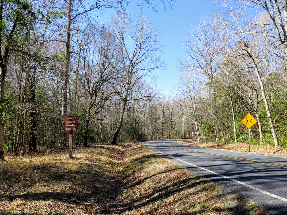
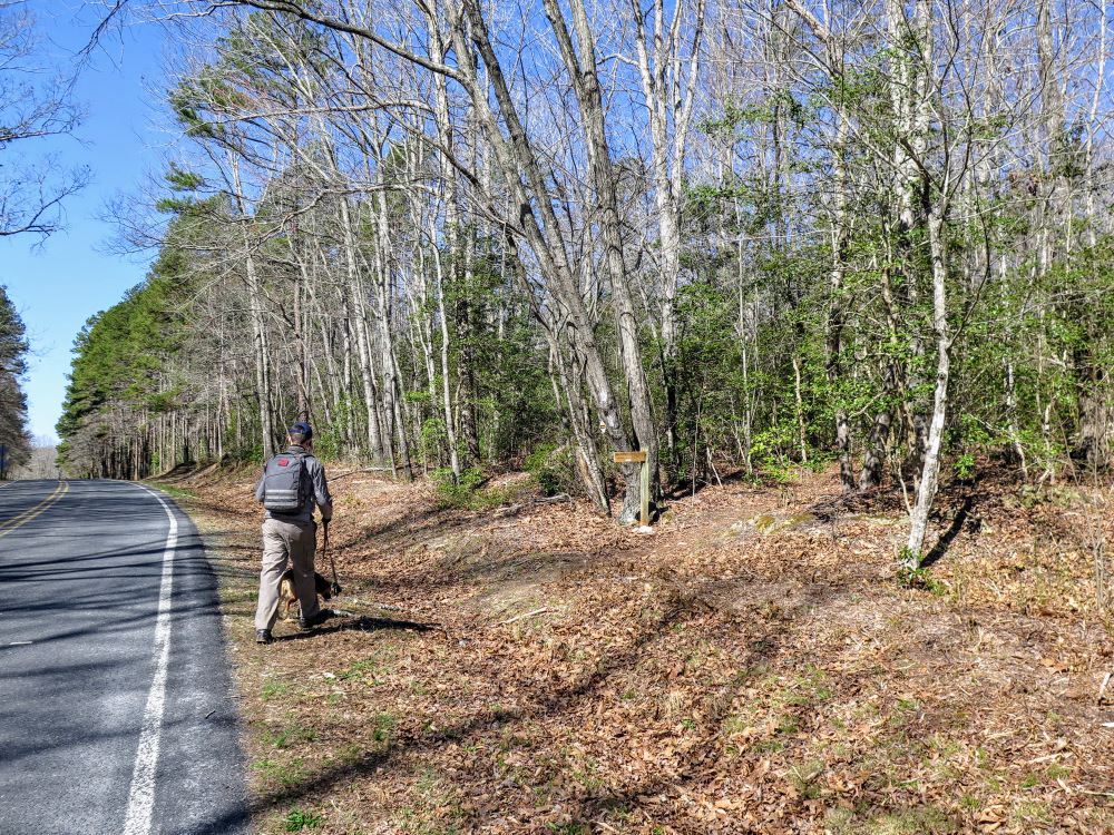
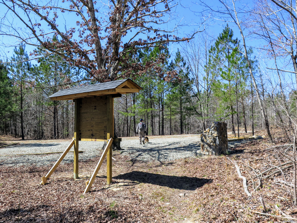
- Mile 1.9 – The Uwharrie Trail reaches the Jumping Off Rock Trailhead beside Flint Hill Rd/SR 1306. Turn left following the road west. After you cross the bridge over Barnes Creek, you’ll see the continuation of the Uwharrie Trail on the right.
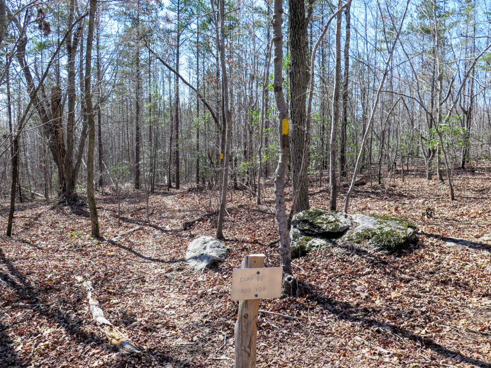
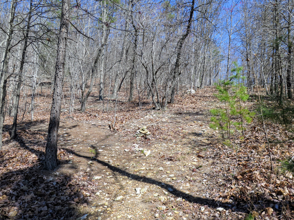
- Mile 2.6 – Y-junction with the Camp 8B Spur Trail (yellow blaze) on the left.
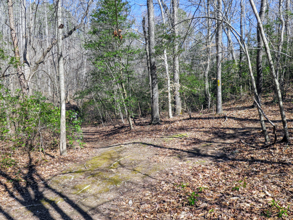
- Mile 2.9 – The trail crosses a forest road with yellow blazes then rock hops Poison Fork. On the other side of Poison Fork the trail follows a beautiful cove below Long Mountain and Little Long Mountain with many possible campsites beside the creek.
- Mile 3.5 – The trail makes a hard left following a forest road away from Poison Fork.
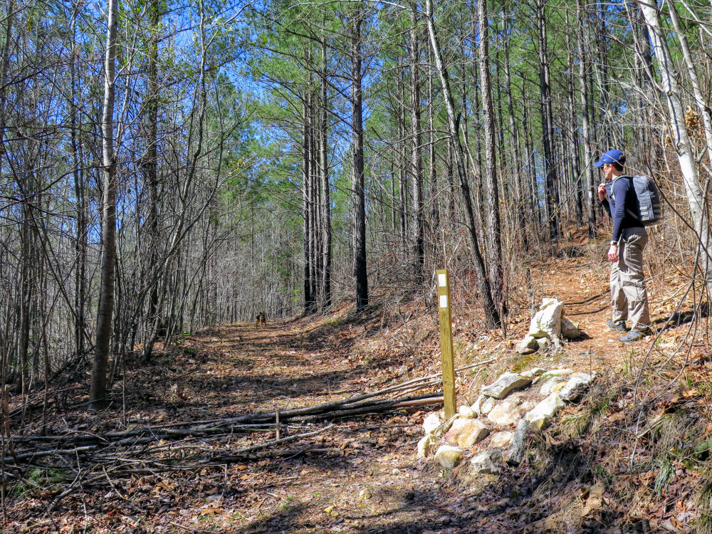
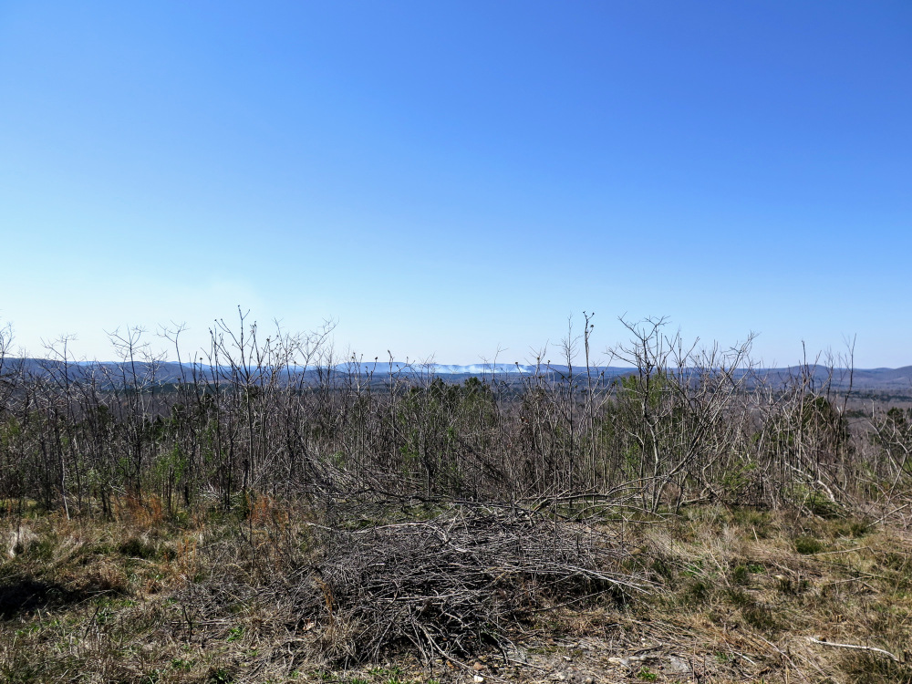
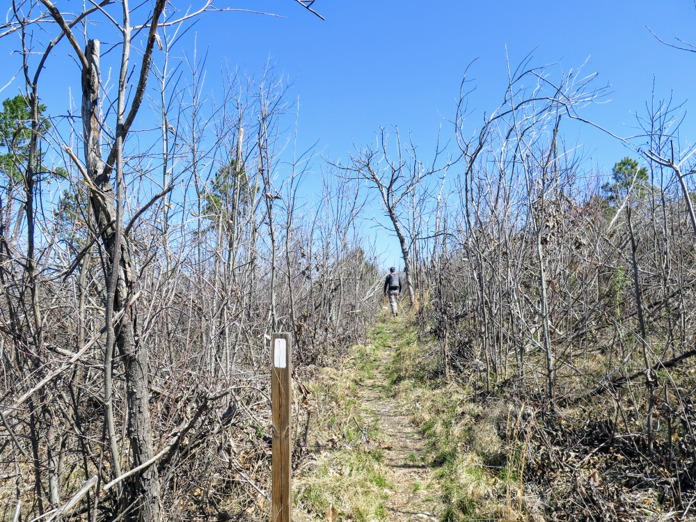
- Mile 3.7 – At a Y-junction the Uwharrie Trail turns right leaving the forest road. The trail ascends Little Long Mountain through fire-scarred forests with new-growth pine.
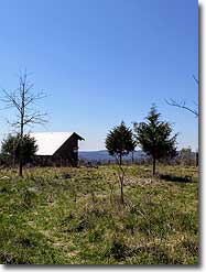
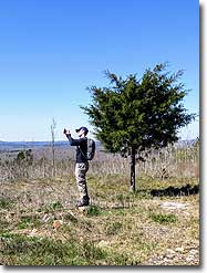
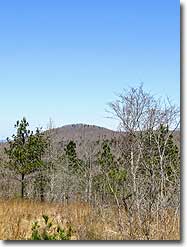
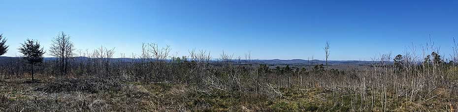
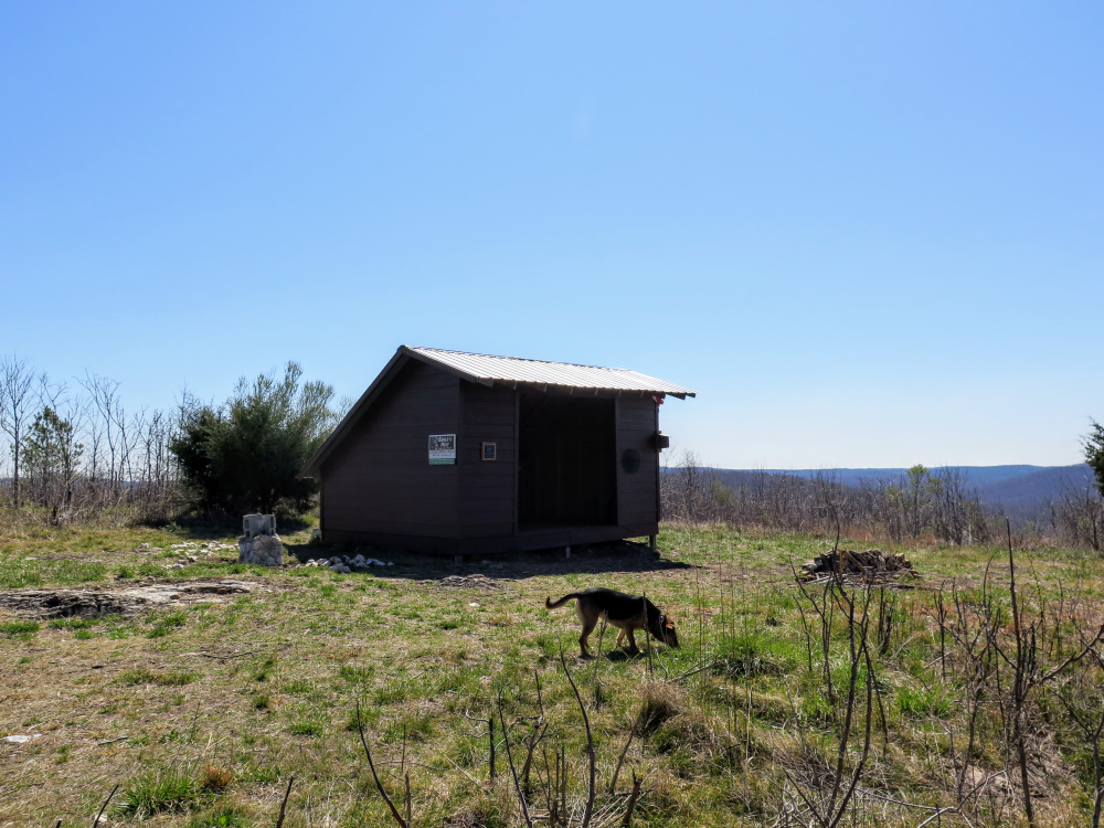
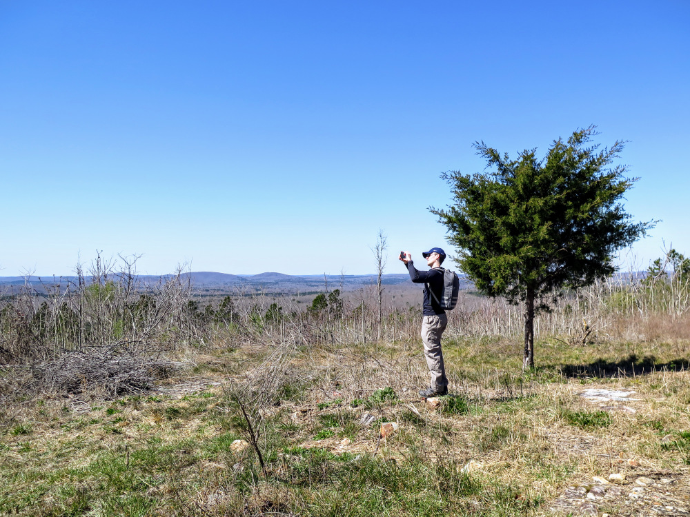
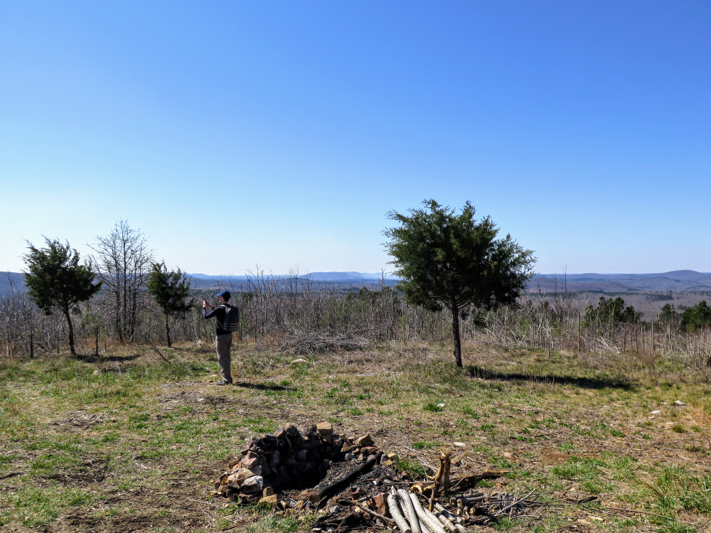
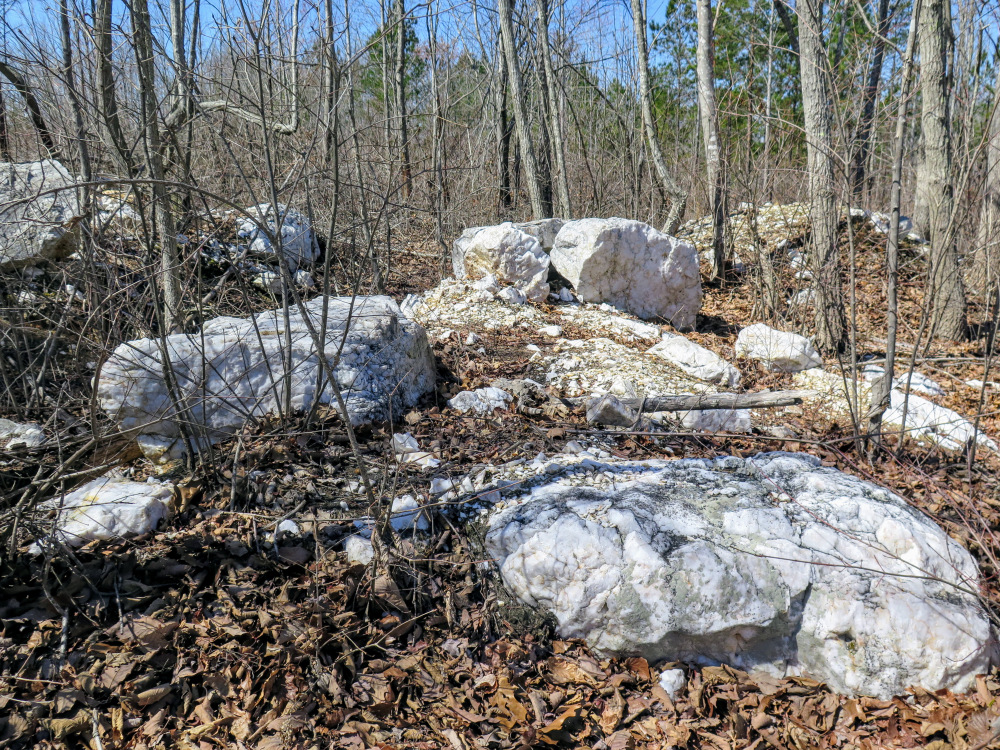
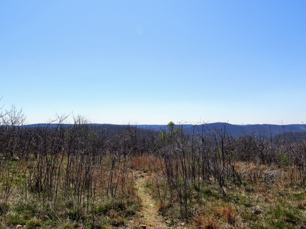
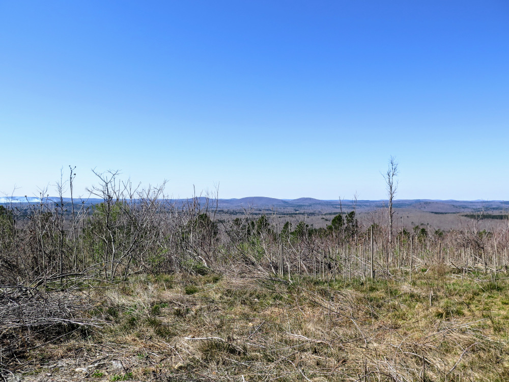
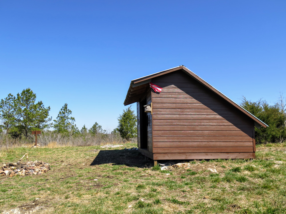
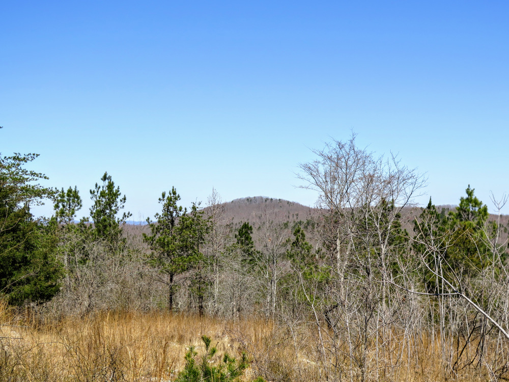
- Mile 4.3 – Reach the summit of Little Long Mountain (922 feet). This grassy bald is unique for the Uwharrie Mountains, providing panoramic views to the south and west of the range. A recently constructed trail shelter can fit 10+ people, but camping on the grass is just as desirable. The trail continues east from the summit, descending the mountain while you have views north of King Mountain, the turnaround point for this hike. (You can decide to skip the King Mountain segment of this hike for an 8.6-mile round trip. Other than seeing the white quartz boulders, the addition of King Mountain is for exercise and the right to claim the highest peak in the national forest.)
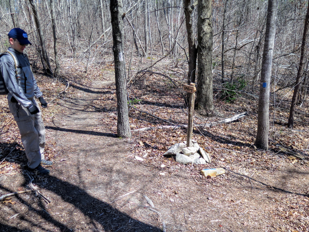
- Mile 4.8 – T-junction with a blue-blazed side trail on the right to a spring.
- Mile 5.1 – Pass by an interesting white quartz boulder field.
- Mile 5.15 – Continue diagonally through an X-intersection with a forest road.
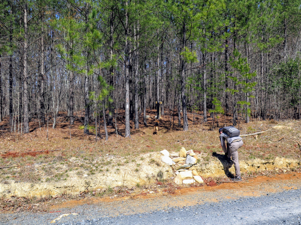
- Mile 5.3 – Reach the Joe Moffitt Trailhead at Thayer Rd/SR 1305. Cross the road and continue on the Uwharrie Trail north. You’ll face a stout 500-foot climb up King Mountain for the next mile through open, rocky terrain.
- Mile 6.0 – An old forest road track splits to the right.
- Mile 6.3 – Cross the summit of King Mountain, the tallest peak in Uwharrie National Forest at 1,020 feet. The Uwharrie National Recreation Trail continues north and soon ends. Eventually the trail will be constructed to connect with the Birkhead Mountain Trail in the Birkhead Mountains Wilderness. Turn around and head south following the Uwharrie Trail back to your car on Tower Rd.
- Mile 12.6 – Hike ends at Tower Rd.
|


![Uwharrie National Recreation Trail [276] (white blaze) north](images/031617/IMG_4290.jpg)