|
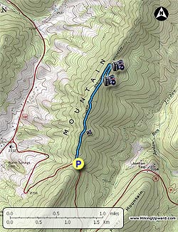
 The Ingals Overlook hike is a quick out and back teardrop hike along the ridge of Bonner Mountain just east of Warm Springs VA, and starts at Ingals Overlook on VA39. The hike is a nice add-on if you are already hiking one of the longer routes in the area such as Lake Moomaw, Blue Suck Falls, or Beards Mount. The Ingals Overlook hike is a quick out and back teardrop hike along the ridge of Bonner Mountain just east of Warm Springs VA, and starts at Ingals Overlook on VA39. The hike is a nice add-on if you are already hiking one of the longer routes in the area such as Lake Moomaw, Blue Suck Falls, or Beards Mount.
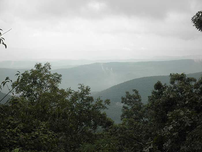
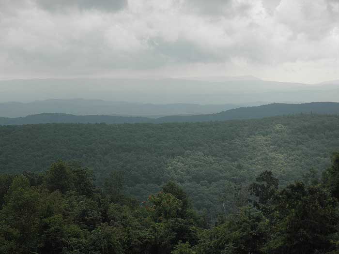
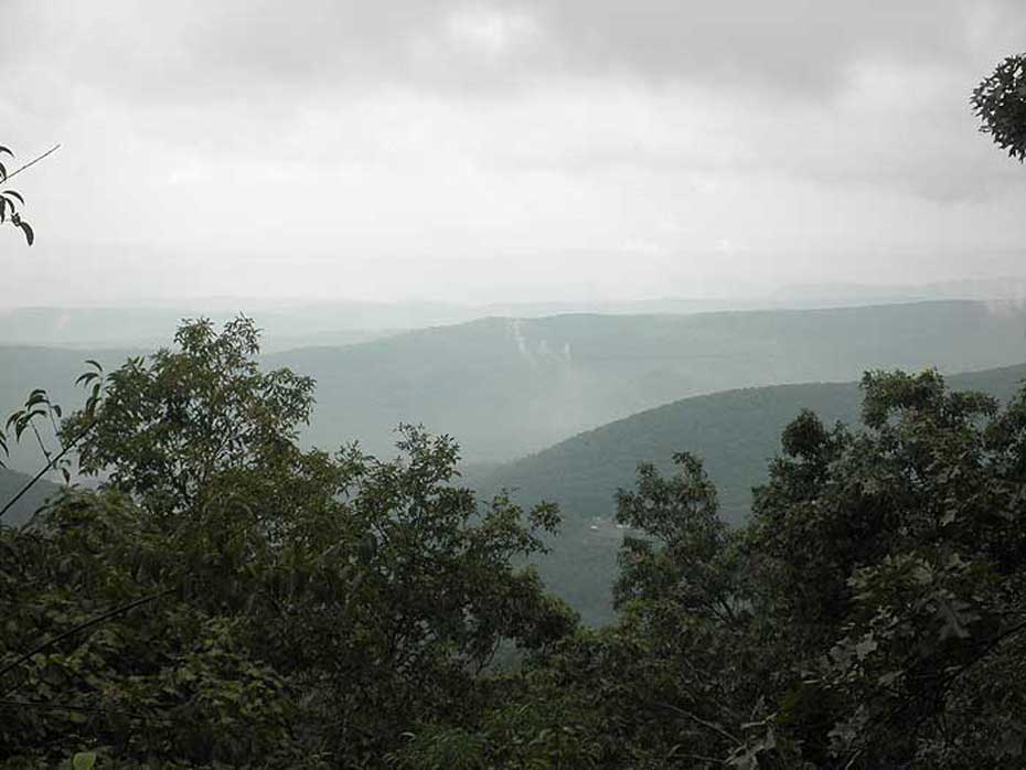
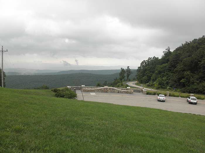
To be fair, the vista from the Ingals Overlook parking area is probably better than any of the three main views you have along the hike as Ingals Overlook has been cleared of any tree obstructions. However, the hike is still well worth the walk, with flora informational signs, as well as overlook benches among others.
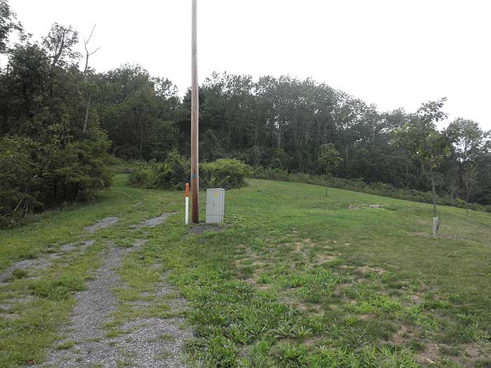
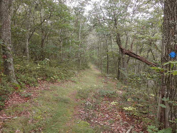
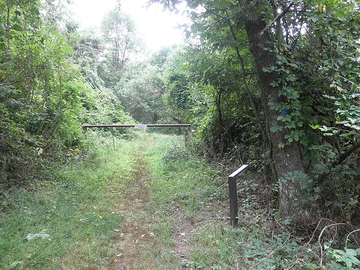
From the parking area at the overlook start up the ridge passing the first blue blaze on a utility pole, and as you enter the treeline pass around a closed gate.
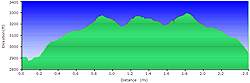
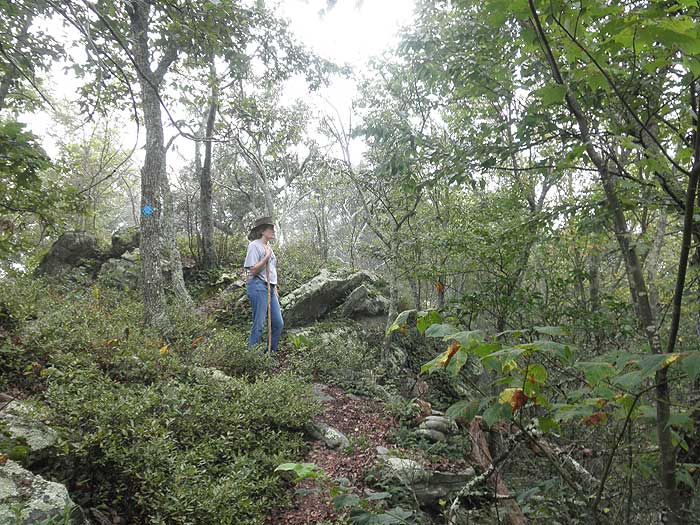
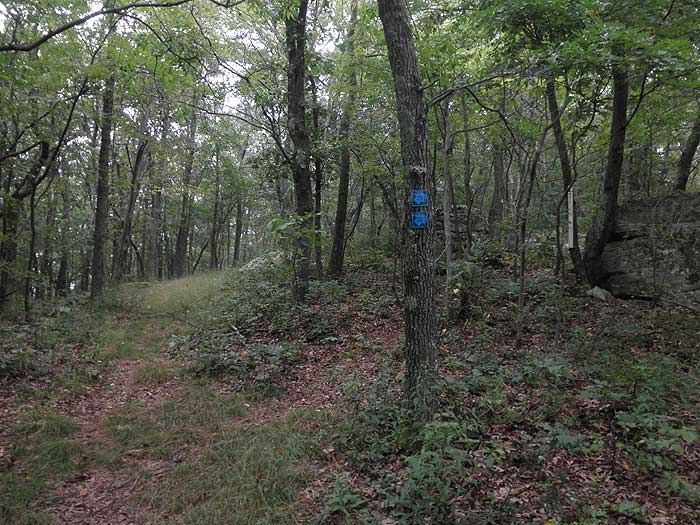
The first 0.4 miles is the steepest of the hike passing a view to the east, then descending through a small saddle at 0.8 miles. The trail will continue for another 150 yards to the hike teardrop junction. Follow the blue blazed trail to the right as it makes a short climb to the ridge, then passes two more overlooks to the west before looping back to the south in 0.1 miles.
From turning back to the south shortly pass the ridge intersection you took earlier, then continue the 0.8 miles back to the Ingals Overlook parking area. |


