|
| Length |
Difficulty |
Streams |
Views |
Solitude |
Camping |
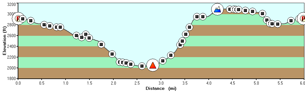
| 6.3 mls |
 |
 |
 |
|
 |
Hiking
Time:
Elev. Gain:
Links:
Resources: |
4.0 hours
plus a half hour for lunch
1,480 ft
 George
Washington National Forest George
Washington National Forest
Topo Hike Trails Map (PDF)
Wardensville Weather Forecast
Garmin (GDB), Gaia/Trails App (GPX) (What's
this?)
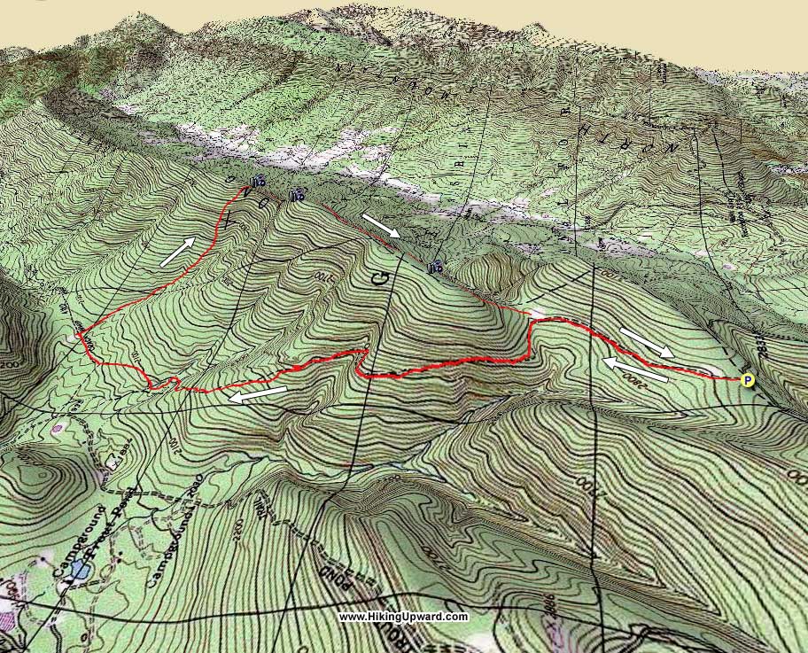
3D
View of Route |
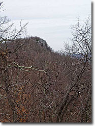
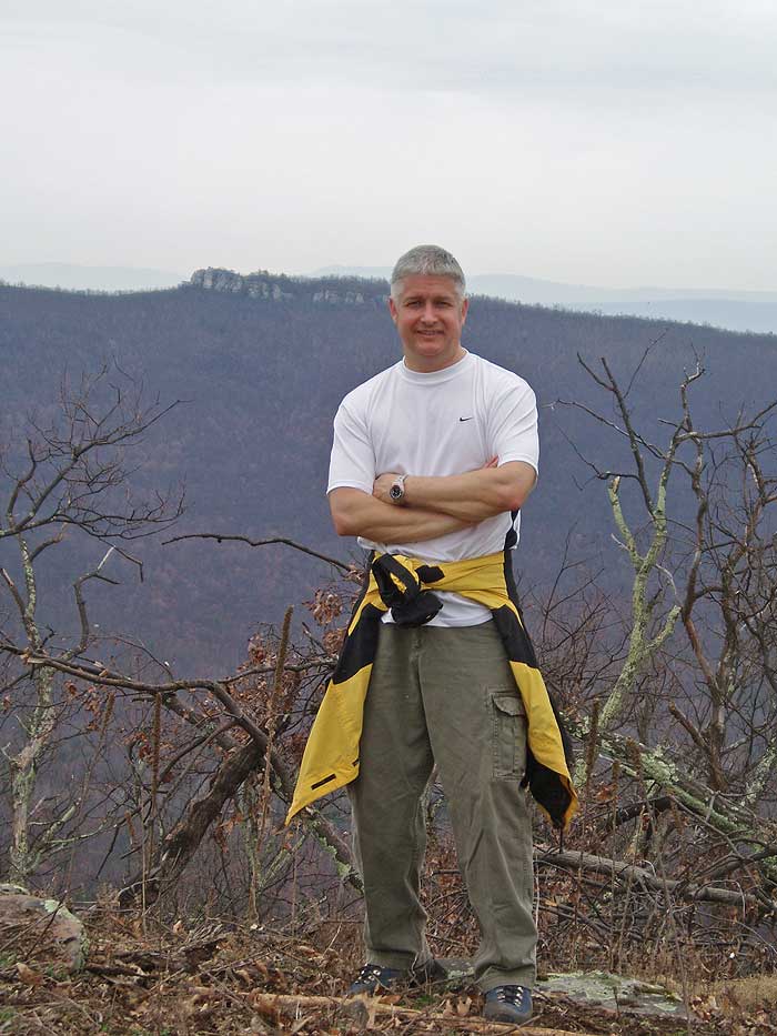
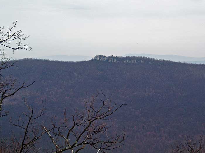
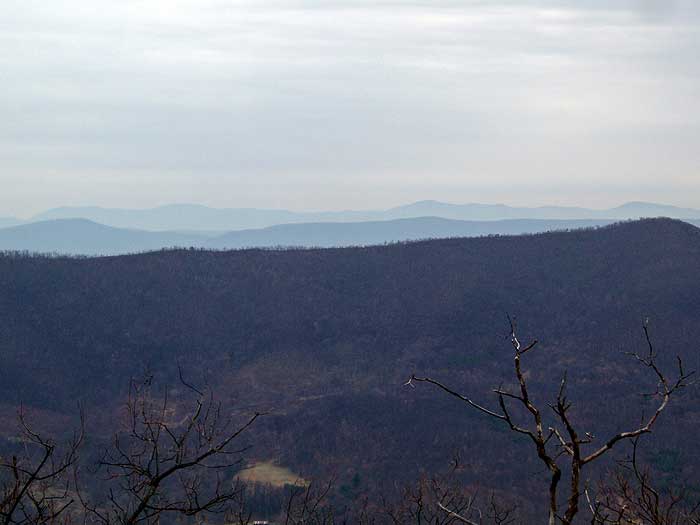
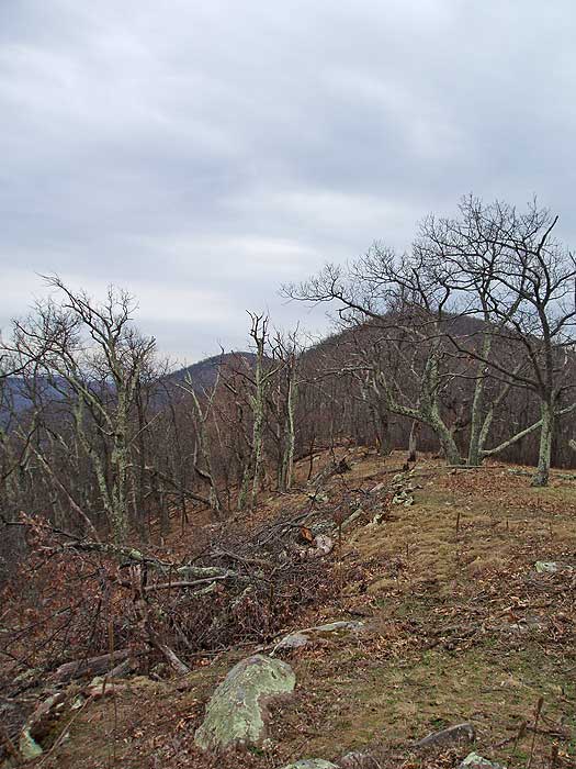
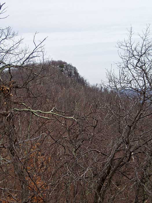
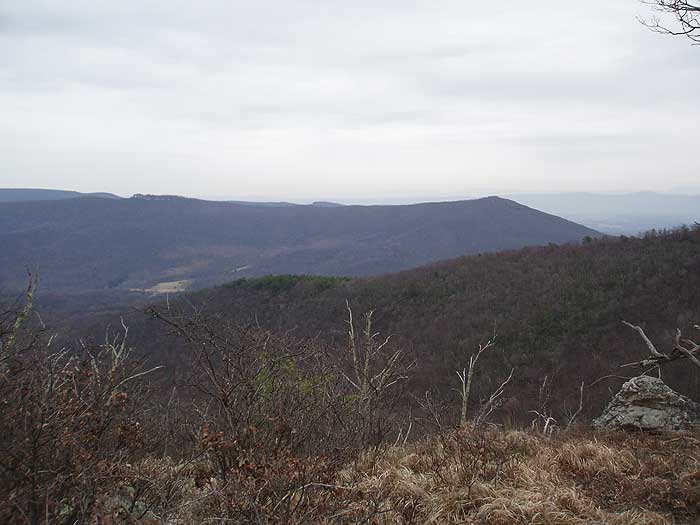
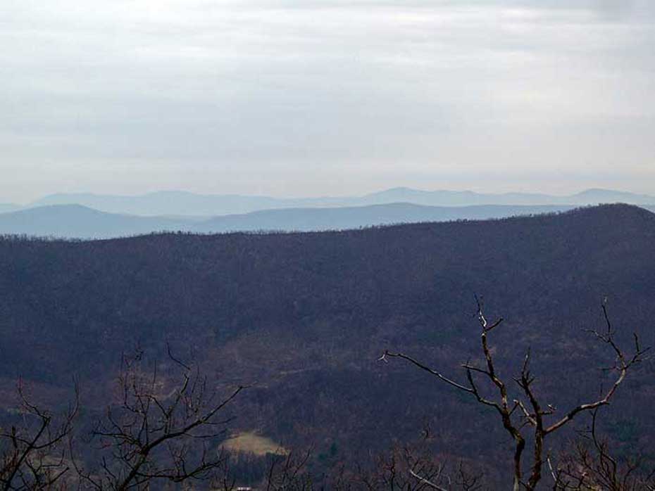
 The Long Mountain Ridge hike is on the west side of Trout Run Valley in West Virginia, and has spectacular views of Mill Mountain, Big Schloss, and Tibbett Knob. Almost half of this hike bushwhacks along the Long Mountain Ridge until it returning to the Long Mountain Trail at a wildlife clearing. For those with good navigation skills, this hike pays off with almost guaranteed solitude. ridge top clearings, and beautiful vistas. The Long Mountain Ridge hike is on the west side of Trout Run Valley in West Virginia, and has spectacular views of Mill Mountain, Big Schloss, and Tibbett Knob. Almost half of this hike bushwhacks along the Long Mountain Ridge until it returning to the Long Mountain Trail at a wildlife clearing. For those with good navigation skills, this hike pays off with almost guaranteed solitude. ridge top clearings, and beautiful vistas.
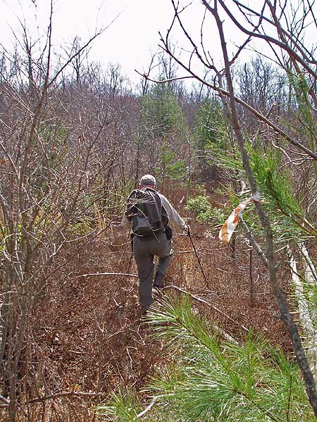
Important Bushwhacking Notes:
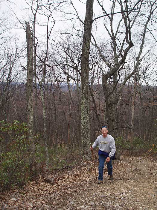
- Only experienced hikers who are comfortable hiking off-trail, using a compass, map, and GPS should do this hike.
- Sections of the bushwhack have heavy, thorny undergrowth. Wear long pants, or you will feel like you've invited the neighborhood cats over to use your legs as a scratching post by the end of the day.
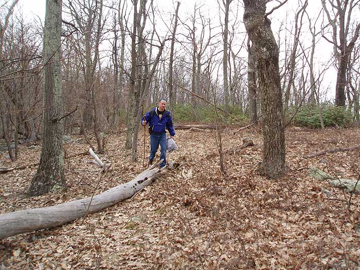
- Long Mountain has loose rock covered by a thin layer of leaves making it easy to twist an ankle. Use a hiking stick or poles, and good quality hiking boots for support.
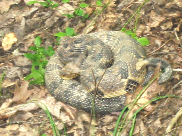
- Timber Rattlesnakes are extremely hard to detect in the underbrush. Take extreme care.
- Don't hike this alone. Let someone know where you are hiking, and when you expect to return. If you twist an ankle, or worse, you're on your own out here.
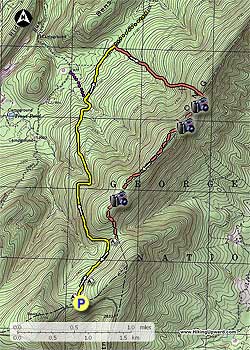
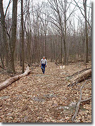
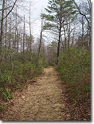
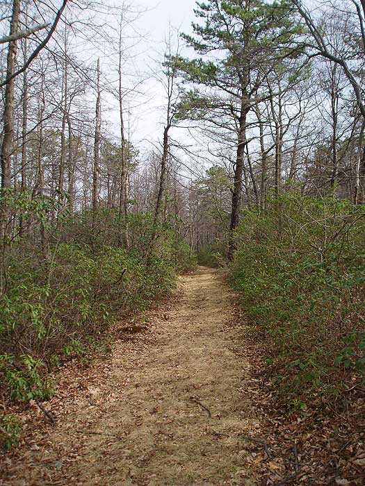
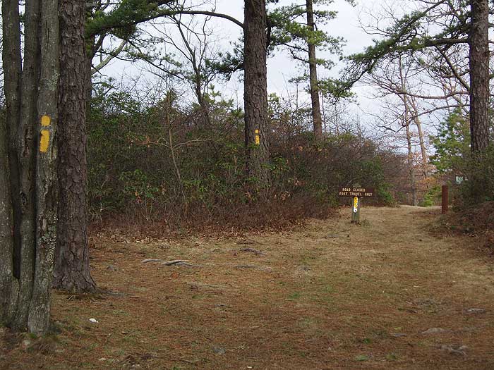
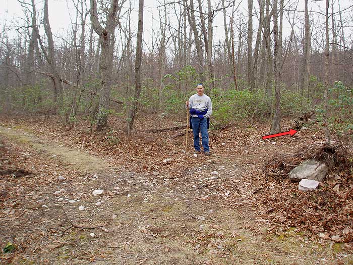
From the parking area on FDR691, start downhill on the yellow blazed Long Mountain Trail. In 0.1 miles pass a clearing on the right, then in another 0.5 miles pass a second clearing. You will exit the the loop through this clearing on the way back.
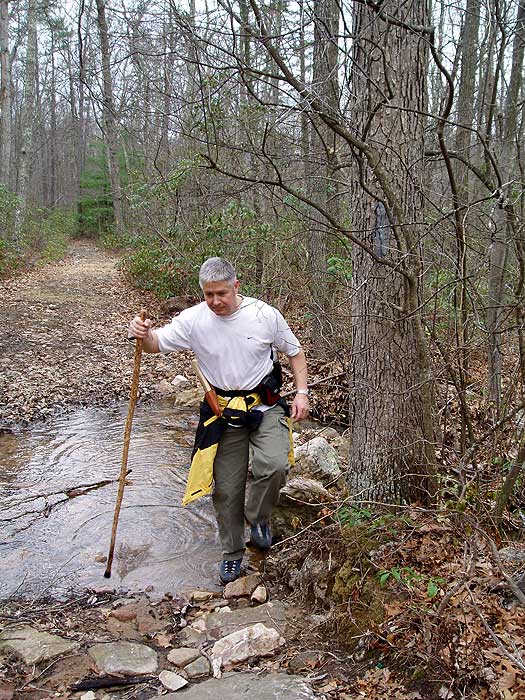
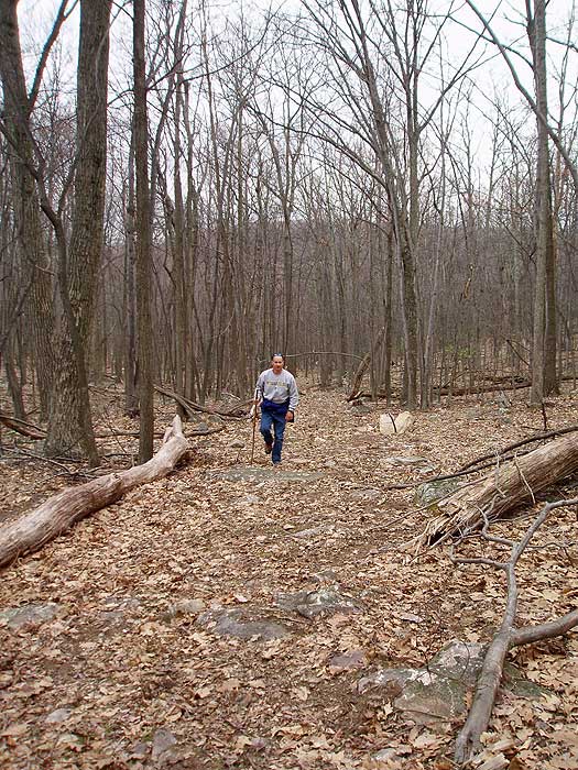
Continue downhill more steeply on the yellow blazed trail as it winds down the west side of Long Mountain. As the trail begins to level out in 1.6 miles from the last wildlife clearing, reach the intersection of the purple blazed Trout Pond Trail. Stay straight on the yellow blazed Long Mountain Trail for another 0.5 miles crossing a small stream, then arrive at another clearing.
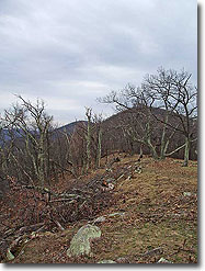
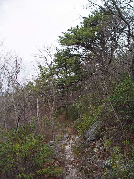
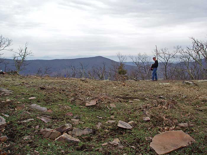
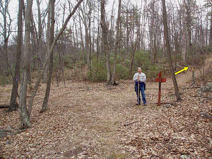
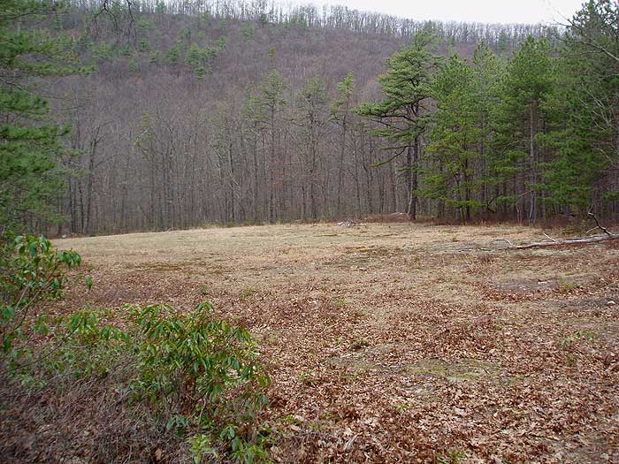
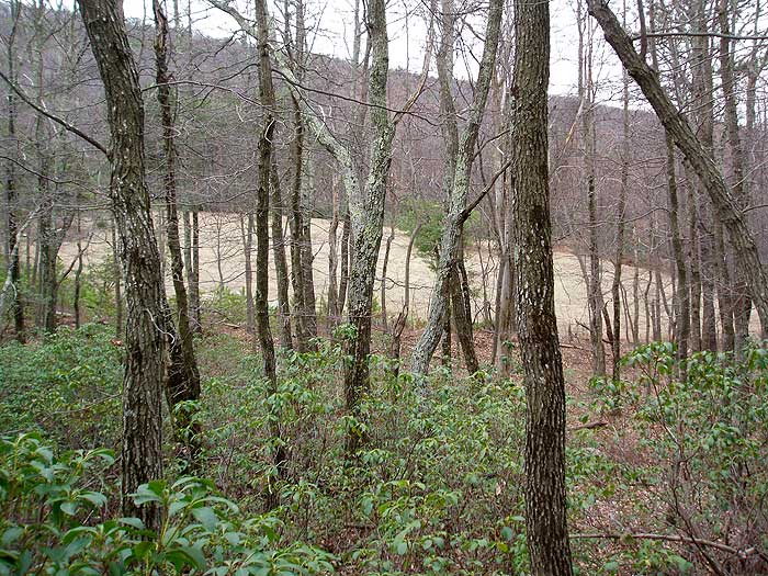
At the clearing, turn right uphill on a narrow unblazed/unmaintained forestry fire road. The forestry fire road is marked on the map here as light red. In 0.2 miles the fire road passes through the left side of the rocky creek bed, and in another 0.1 miles it becomes very steep heading directly for ridge. 1.0 miles from the Long Mountain Trail, the fire road will arrive at the ridge and large clearing, with fantastic views of Mill Mountain and Big Schloss across the valley.
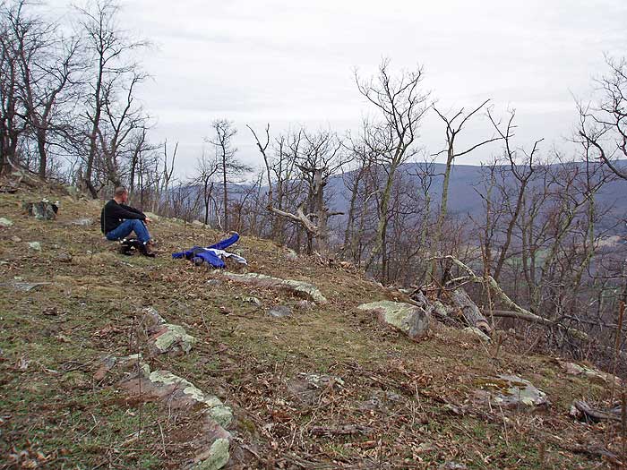
The next 1.7 miles is a bushwhack along the Long Mountain Ridge marked on the map here as light red dashed. Turn right/south staying on the ridge for the next 0.3 miles. Pass around the right/west side of the Long Mountain summit, where the bushwhacking will become considerably harder, before reestablishing the ridge on the other side. Bushwhack along the ridge for the next 1.0 miles. Descend 0.2 miles to the clearing in the saddle of the ridge, passing through a thicket of Mountain Laurel.
Exit the clearing on the right bottom corner, then turn left uphill on the yellow blazed Long Mountain Ridge trail you descended earlier, and in 0.6 miles arrive back at the parking area. |

