| By:
Ash |
Rating: |
 |
Date of Hike: Saturday, November 23, 2019 |
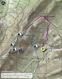
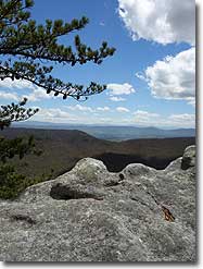
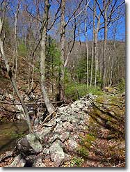
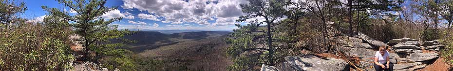
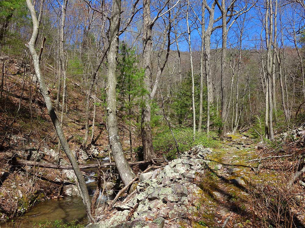
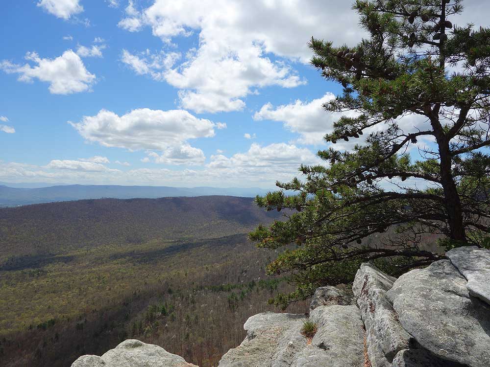
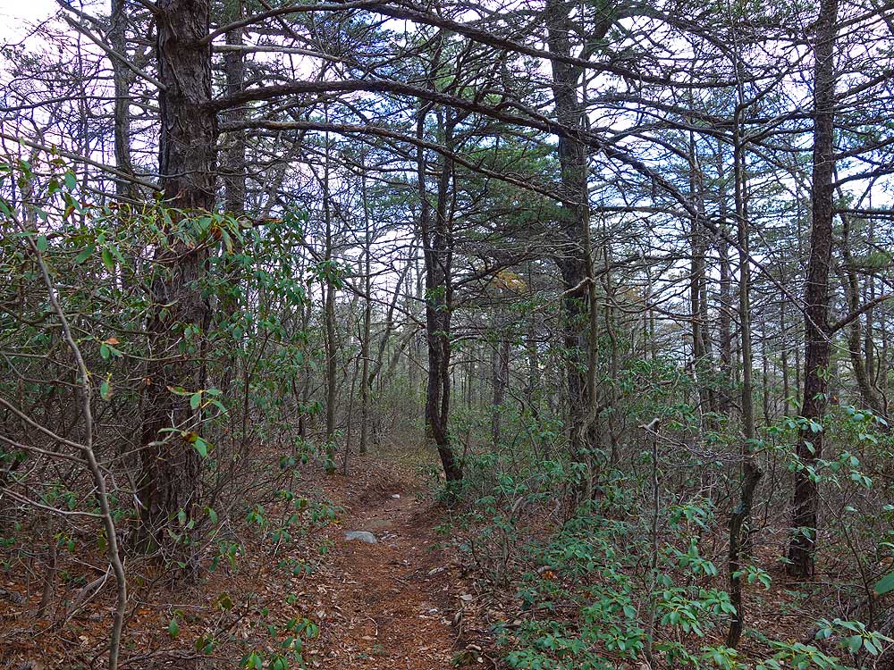
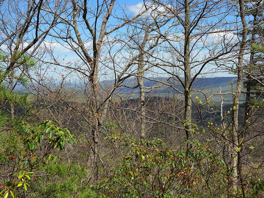
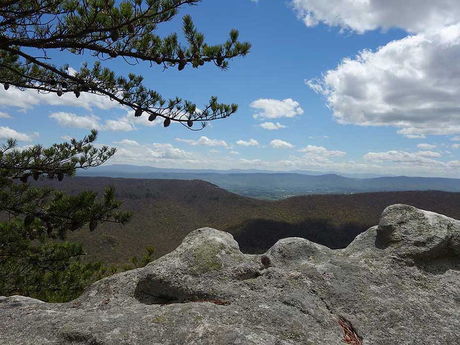
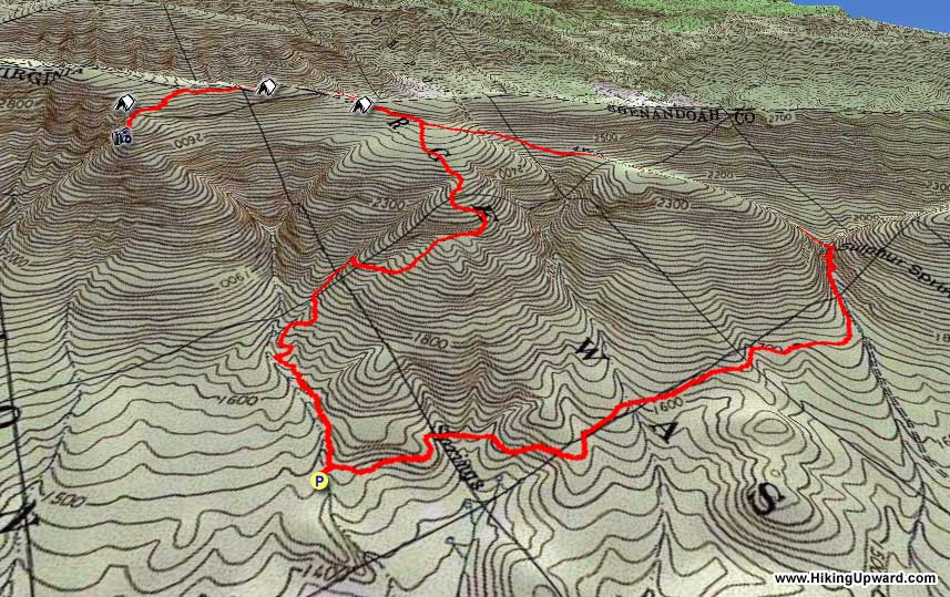
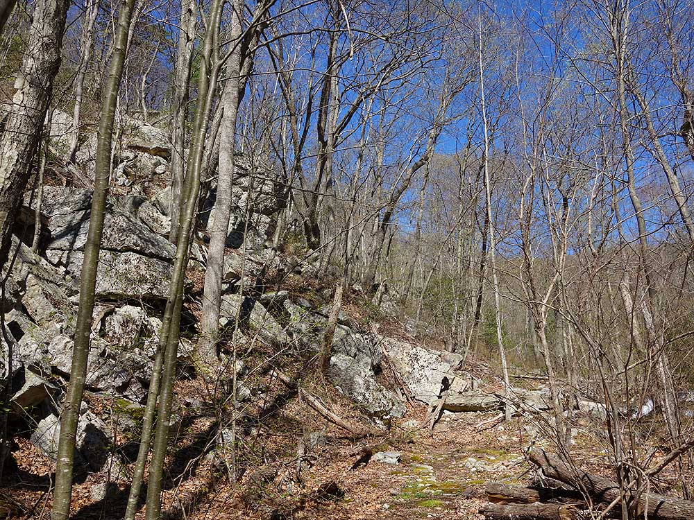
This hike is very typical of a Lee Ranger District GWNF hike. I had deja vu many times. While I always enjoy being out in the forest, what made the hike for me was the view from White Rocks. As someone who hikes and trail runs pretty frequently I would rate this difficulty a 2 for exertion and a 3 for the technicality of dealing with all of the rocks and roots during the decent. Since I did this hike in late November when all of the leaves were on the ground it is easy to twist an ankle. While I won't do this hike again, I did enjoy my time there.
|
|
| By:
Sean |
Rating: |
 |
Date of Hike: Sunday, October 6, 2019 |
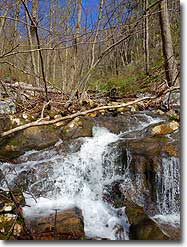
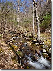
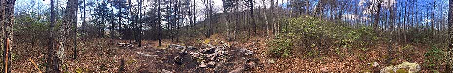
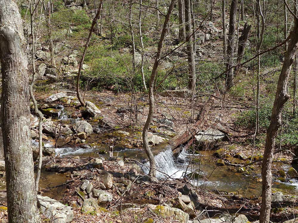
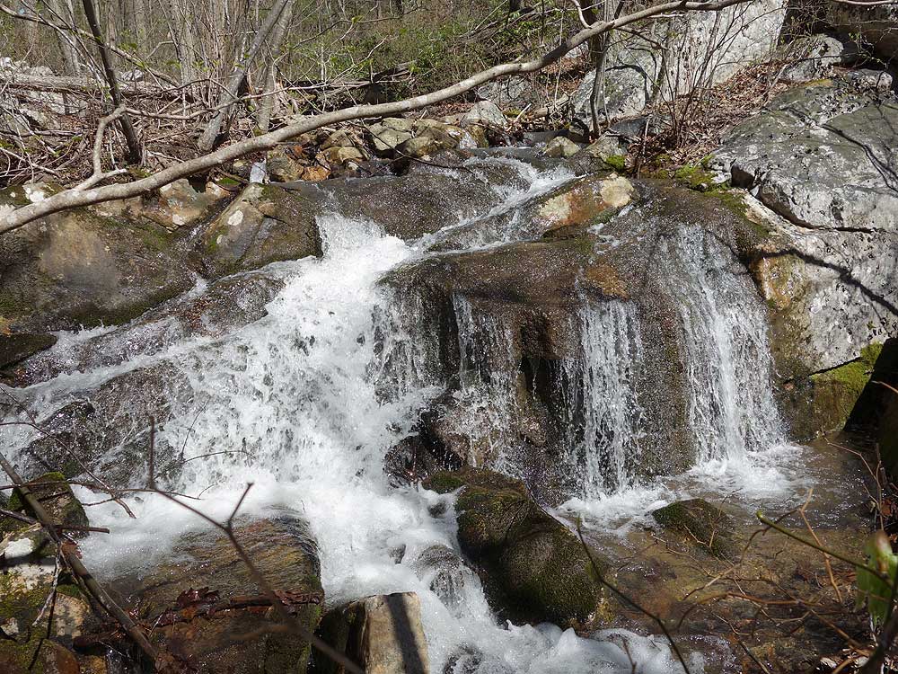
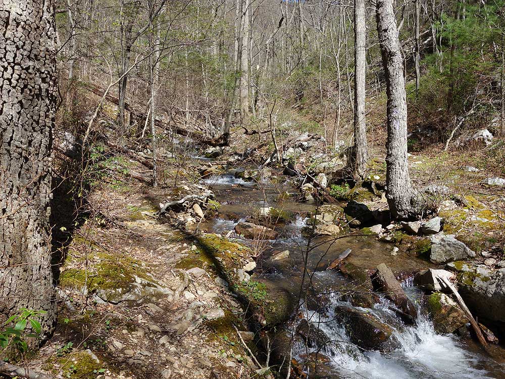
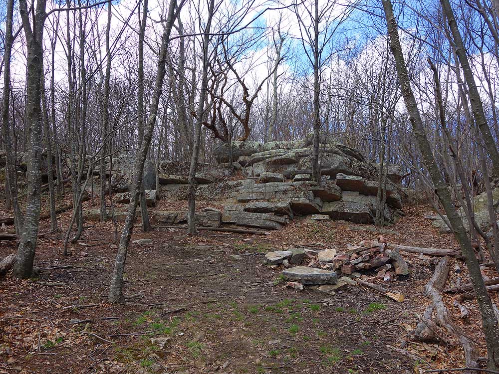
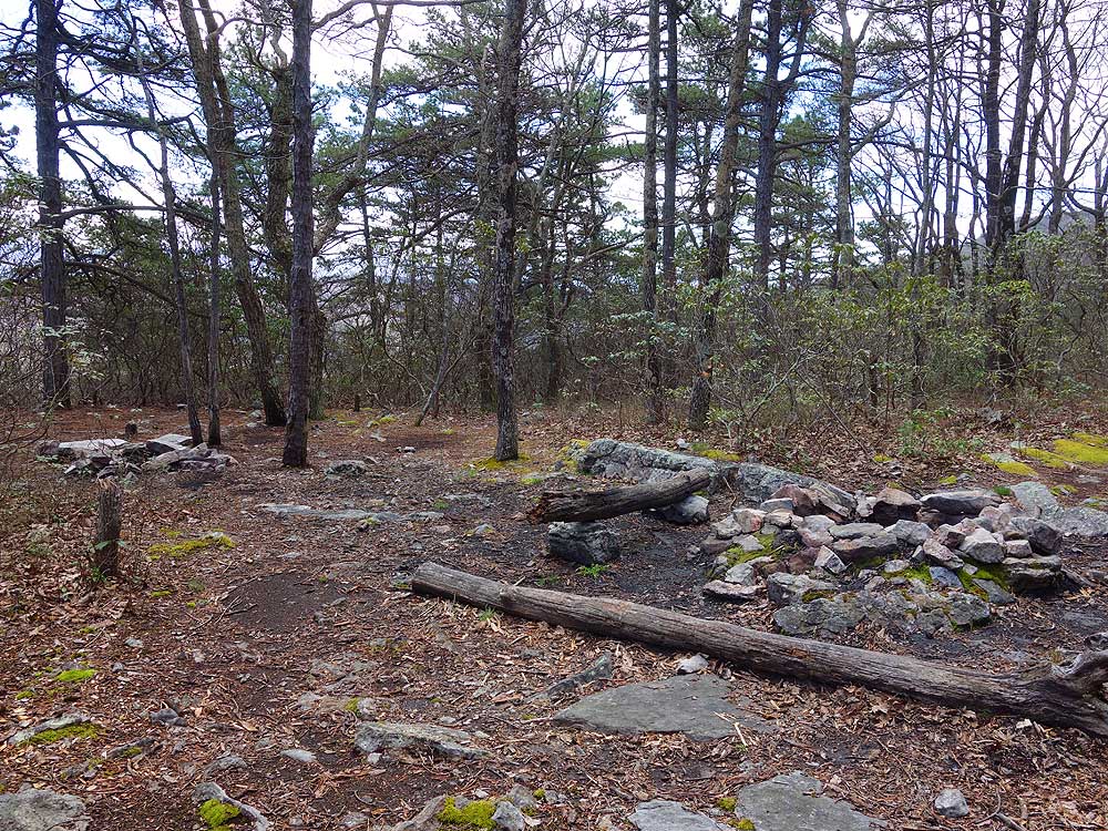
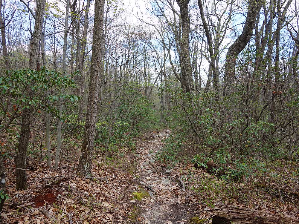
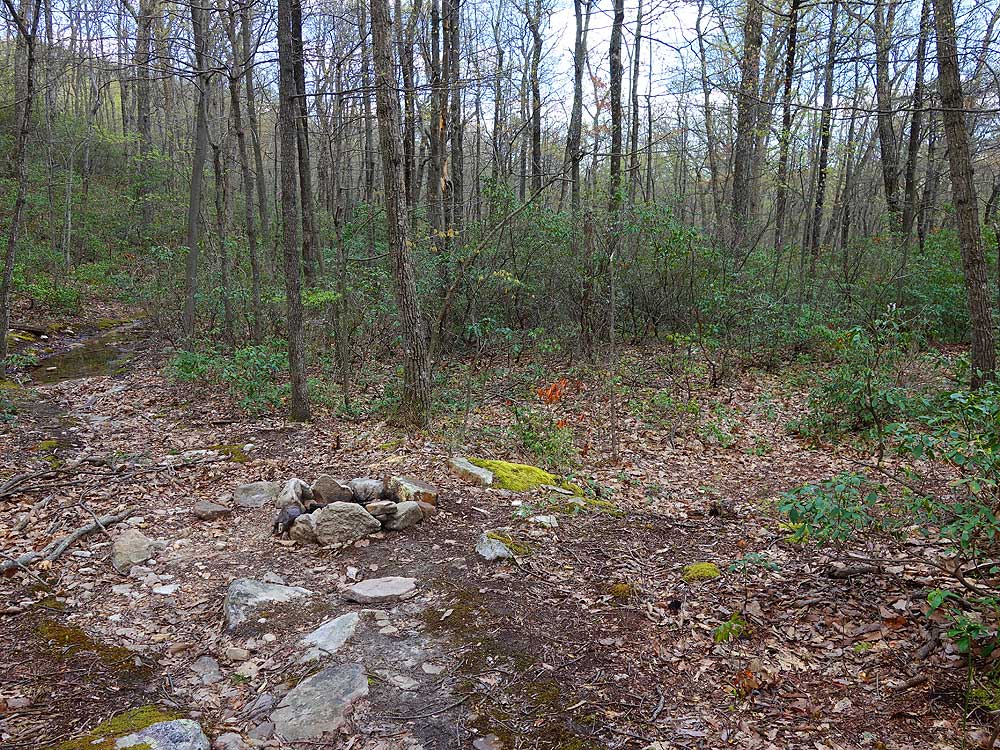
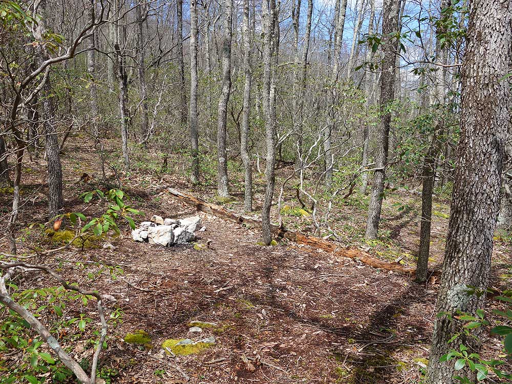
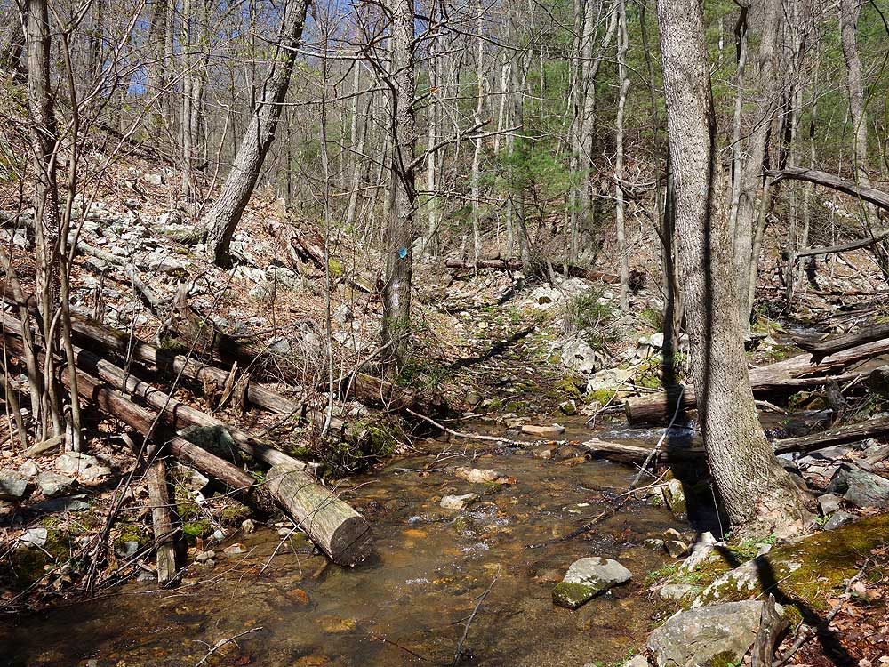
A fine hike. It hadn't rained in a long time so streams were low and there was not much mud. One campsite was in use on White Rock Cliff and other campers were in the parking area. The rockiest part was going down, but it was not bad. I carried a couple of hiking poles but never used them. As another review observes, there is a little overlap of this hike and the White Rocks hike on this site, which I've done and is nice, too. I'd rate this a high 3 or low 4 for difficulty.
|
|
| By:
Emily |
Rating: |
|
Date of Hike: Saturday, June 8, 2019 |
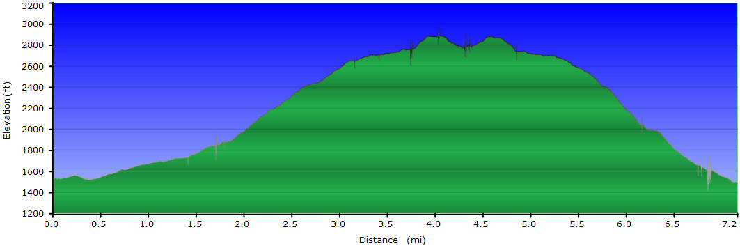
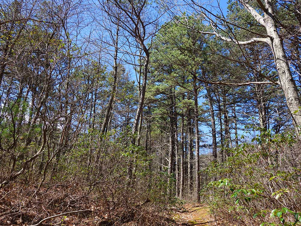
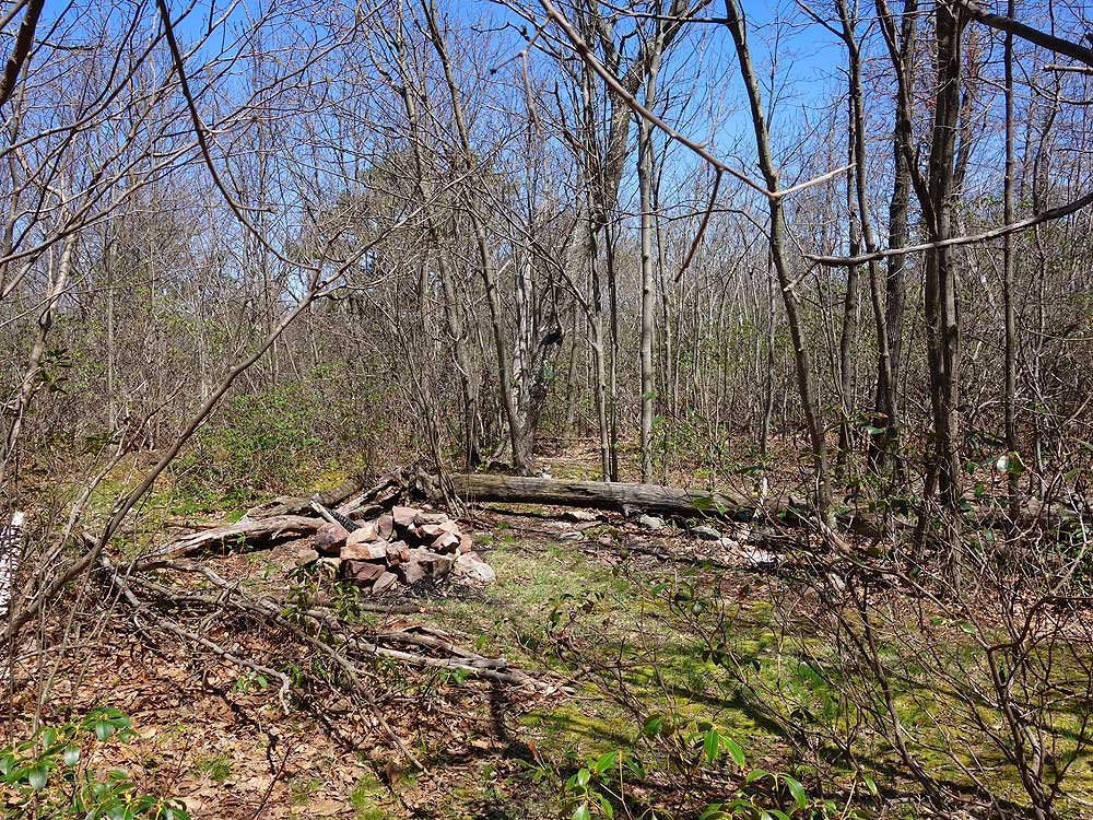
I did this as an overnight backpack. This was a good hike and I would do it again. I had been to the White Rocks as part of the White Rocks loop on this website, so I knew the payoff was going to be spectacular and it was. This hike seemed to have more elevation gain than that one, but it's also a bit shorter. The first part on the road isn't bad, but it was better once we got into the shaded forest. We only saw one other group of hikers, and only once we got to the overlook. If you continue after the scramble to the first view, there are a number of other pretty rock formations with good views in almost every direction. Camping at the top is pretty great, but it's dry up there so bring plenty of water for the night.
|
|
| By:
Leighann |
Rating: |
|
Date of Hike: Wednesday, May 22, 2019 |
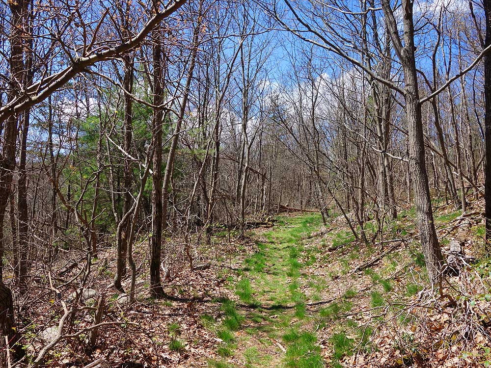
We hiked this in late may. The first part of the trail was very wet but still hikeable.
The views were amazing and the trail was easy going. The elevation gain was very gentle. Effort wise I would give this a 3 for difficulty.
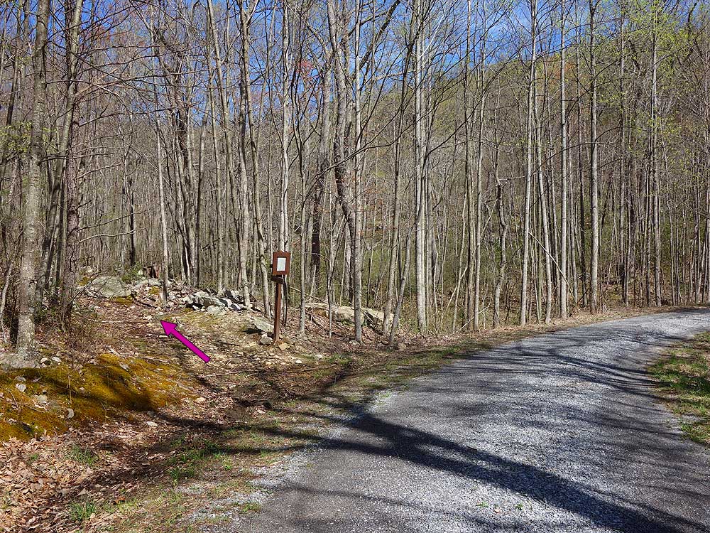
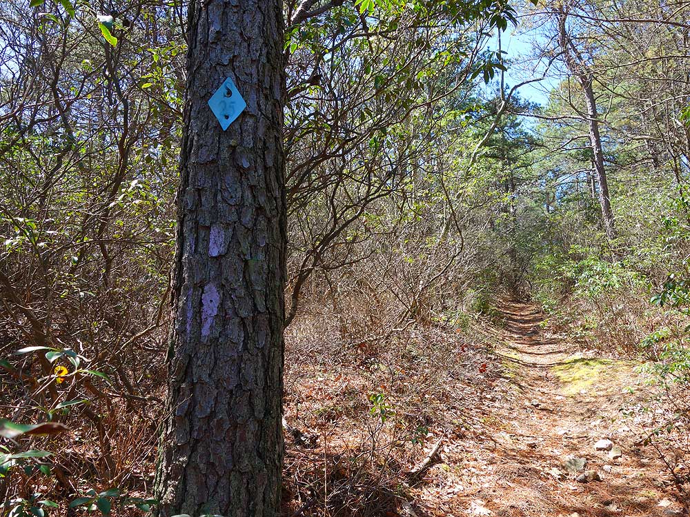
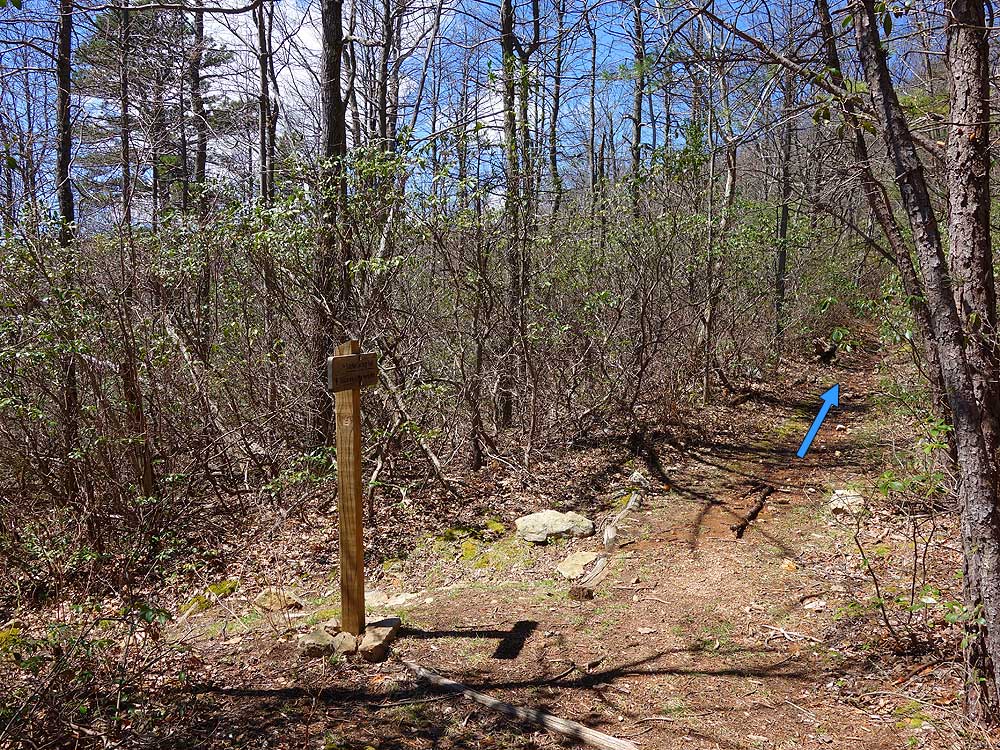
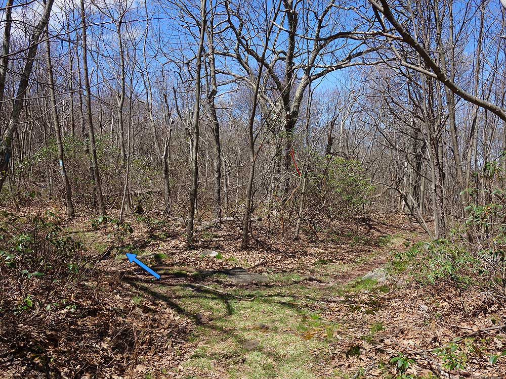
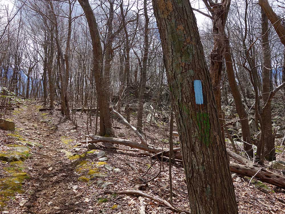
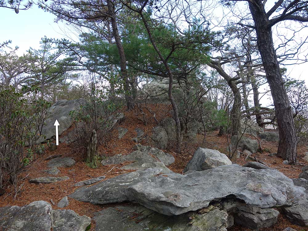
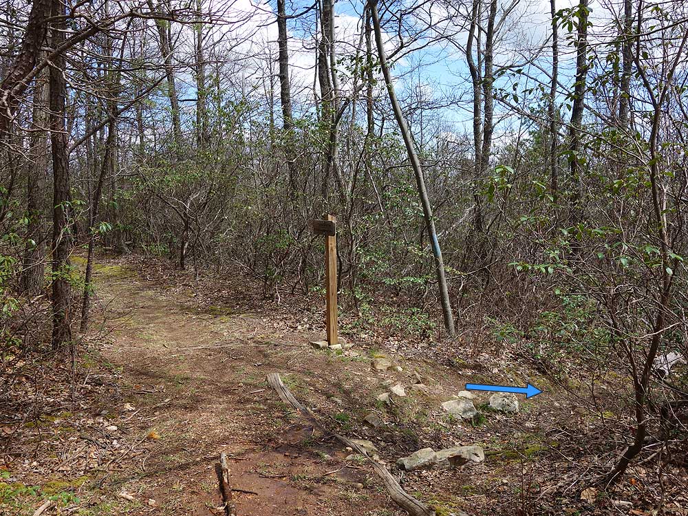
The only reason I wouldnt rate this a 5 star hike was the fact that except for on the Tuscarora trail there were no blazes to be found. The trail maintenance is also lacking and we found ourselves almost bushwacking at times. However the description of the trail turns were very detailed and we didnt lose our way.
5 star views and definitely follow the ridge at the top around to the left.
|
|
|
|
|


