|
 By Trail Contributor: Jeff Monroe (Email Jeff)
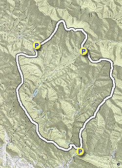
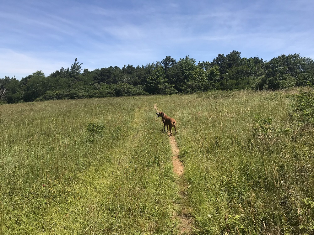
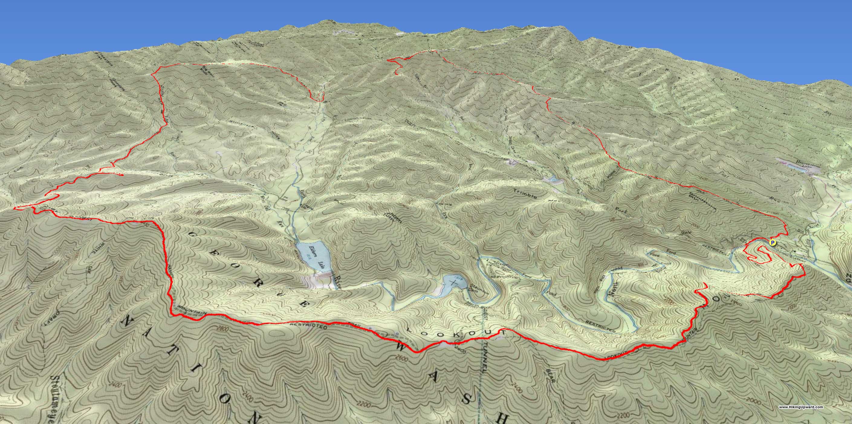
The Wild Oak Trail is a 28.2 mile loop trail in the North River District of the George Washington National Forest. The loop’s route consists of multiple trails and forest roads and is blazed white throughout its loop. The loop is a long-time backpacking route that has more recently become popular with mountain bikers. Because the westernmost sections of the Wild Oak Trail are within the boundaries of the Ramsey’s Draft Wilderness, bikers cannot access the entire loop.
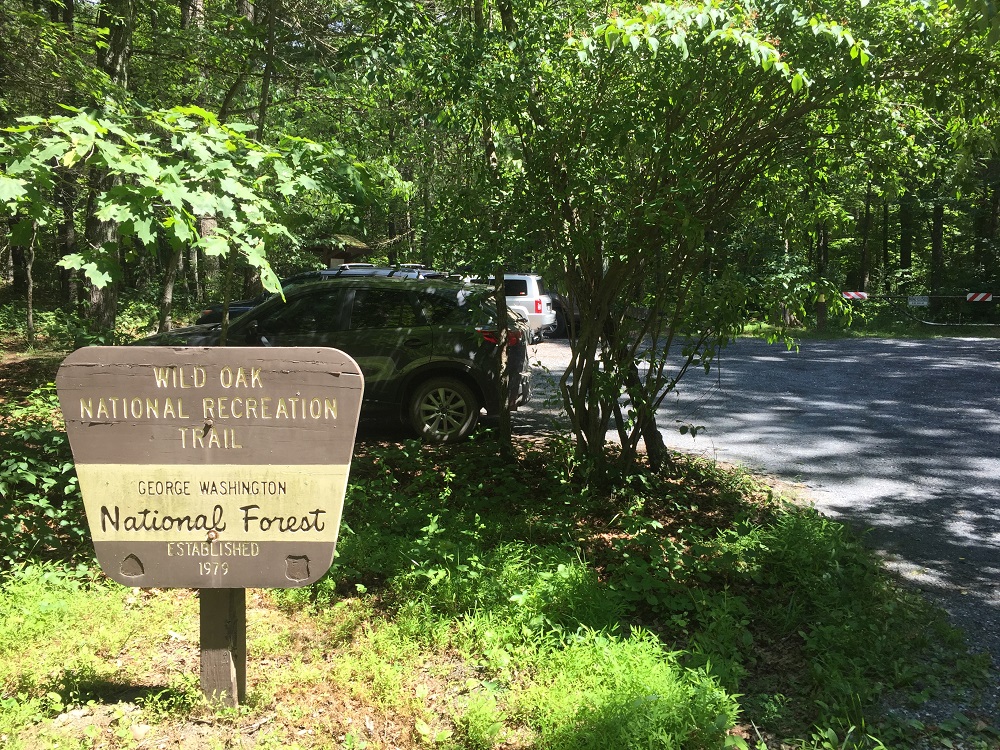
The Wild Oak Trail was designated a National Recreational Trail in 1979. For hikers not interested in the entire loop, several portions of this trail make good loops or provide access to interesting locations. HikingUpward has descriptions of other hikes utilizing parts of the Wild Oak Loop, which are linked from this writeup.
Because the US Forest Service originally constructed this as a backpacking loop, there are so many potential campsites on this loop that many of them are not listed here. Despite listing multiple campsites, this description instructs the best way to hike this as an intense day hike. As a result, this description does not utilize the common starting point parking area. Instead, it favors an alternate parking area that allows the day hiker to eliminate two of the three high points early in the loop, while still fresh. |
Completing this hike as a day hike is something that you will need to work up to, so dont attempt it unless you are in shape and have recently completed multiple long hikes. And, while just completing a single loop is a killer, this loop is also the long-time location of a trail run that requires multiple loops within one 24 hour period. Unfathomable!
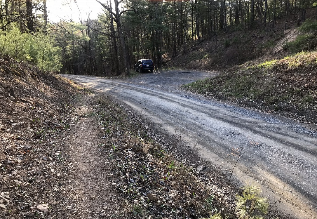
- FS 96 Parking Start Point
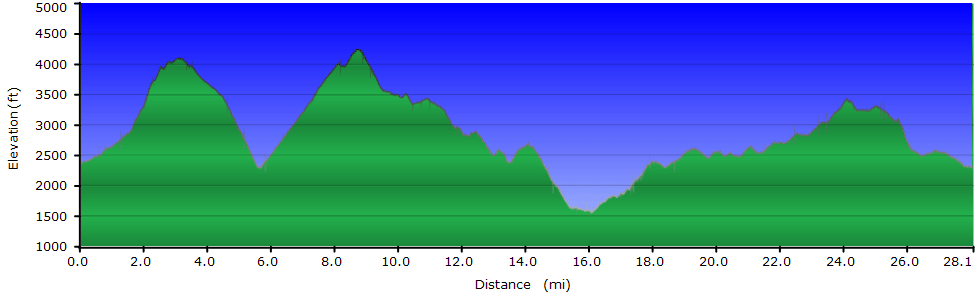
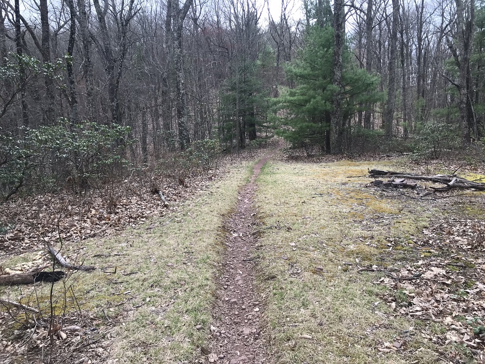
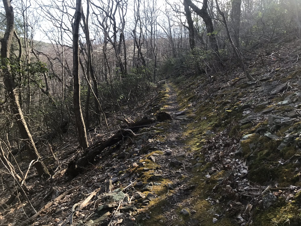
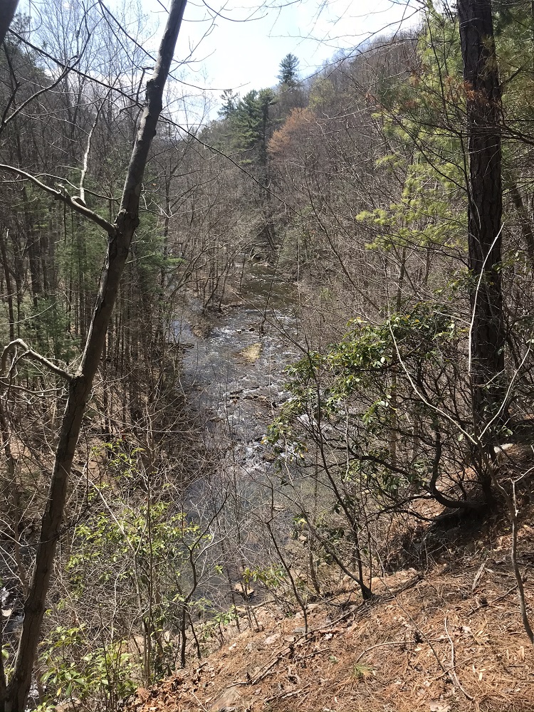
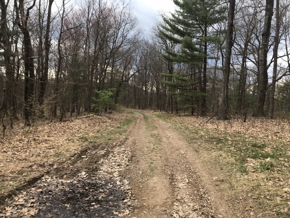
Mile 0.0 – Start the hike in the parking area on Braley Pond Road (FS 96), which is large enough to accommodate three to five vehicles. Do not cross the road, but start up the trail on the western end of the road to complete the loop in a clockwise direction following the white blazed trail. Climb up Dividing Ridge, named because streams to your right reach the Chesapeake via the Potomac, and streams to your left reach the Chesapeake via the James River. There is a running stream on your right and several side trails drop down to that stream as you climb. The trail starts gradually, but becomes very steep before reaching a ridge.
-
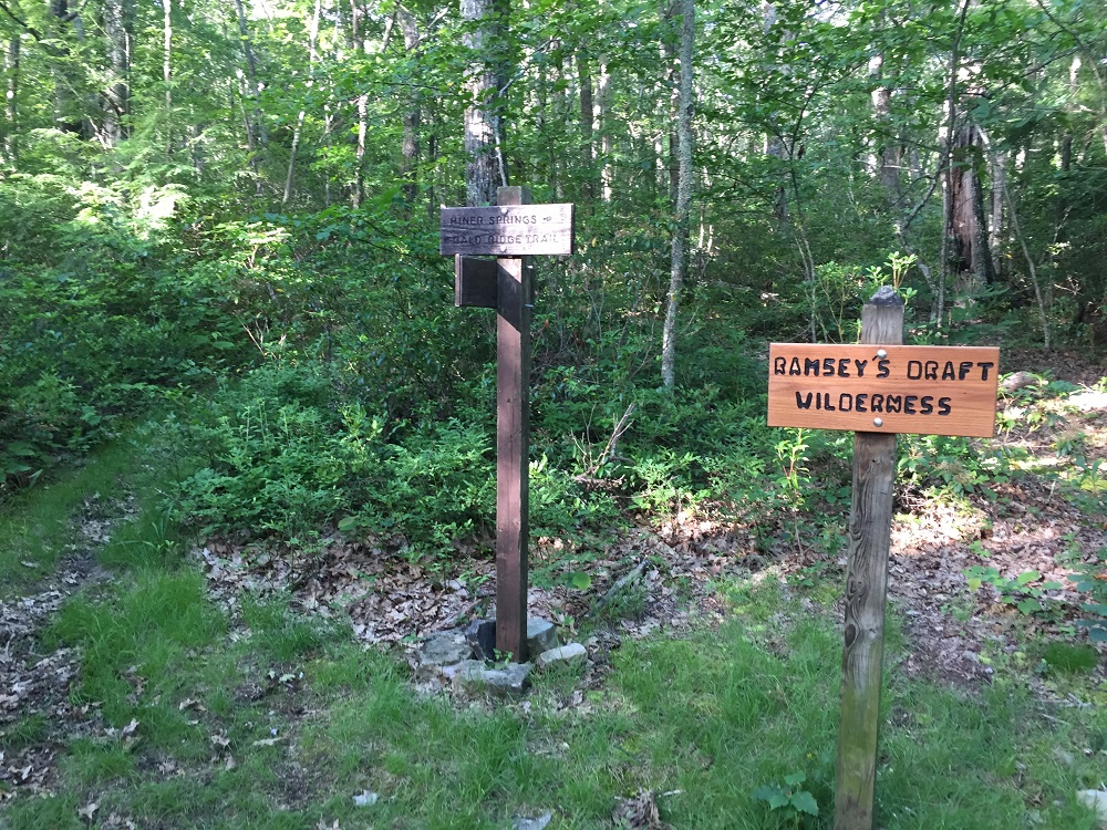
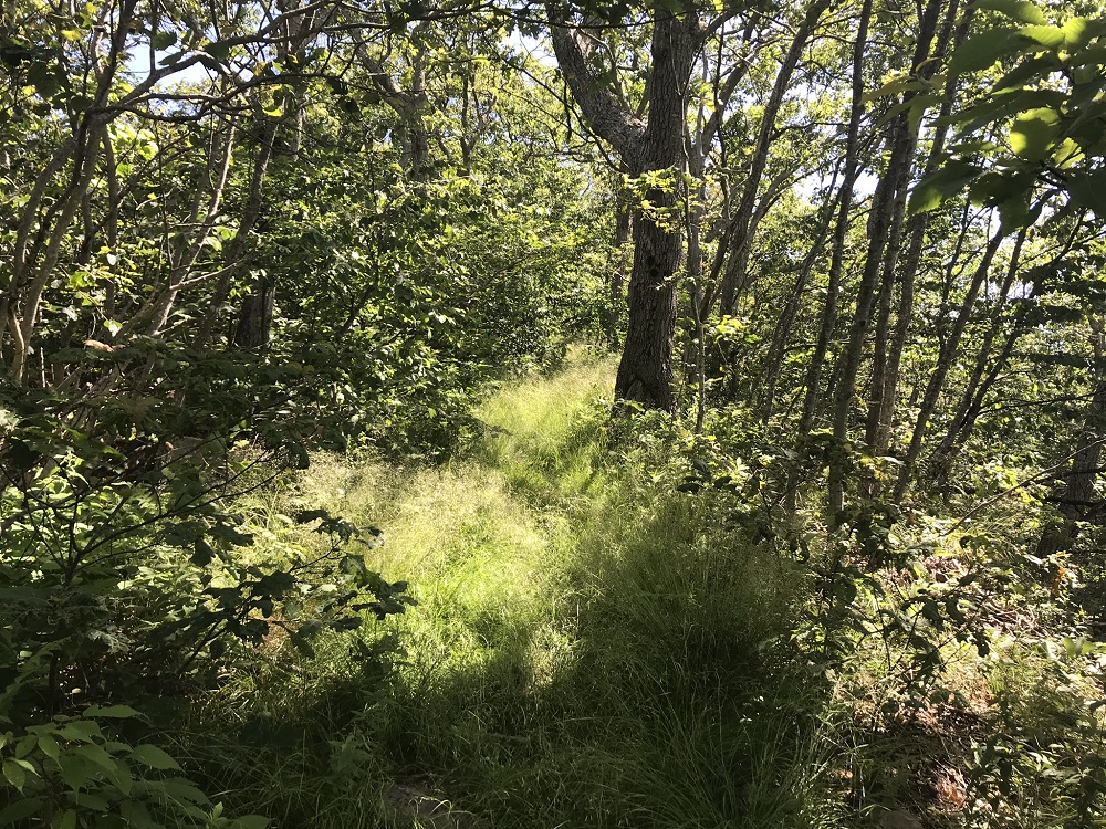
Mile 2.3 – Reach a ridge with a wildlife pond. The trail goes right at the pond and continues climbing. The Bald Ridge Trail (#496) heads south from here towards Braley Pond and the Mountain House trailhead for Ramsey’s Draft Wilderness. Going right and following the Wild Oak loop you will enter into the federal wilderness. Because federal regulations prohibit mechanical devices in wilderness areas, the upcoming section of trail is usually more overgrown than many other sections of this loop. Hand cutting only.
-
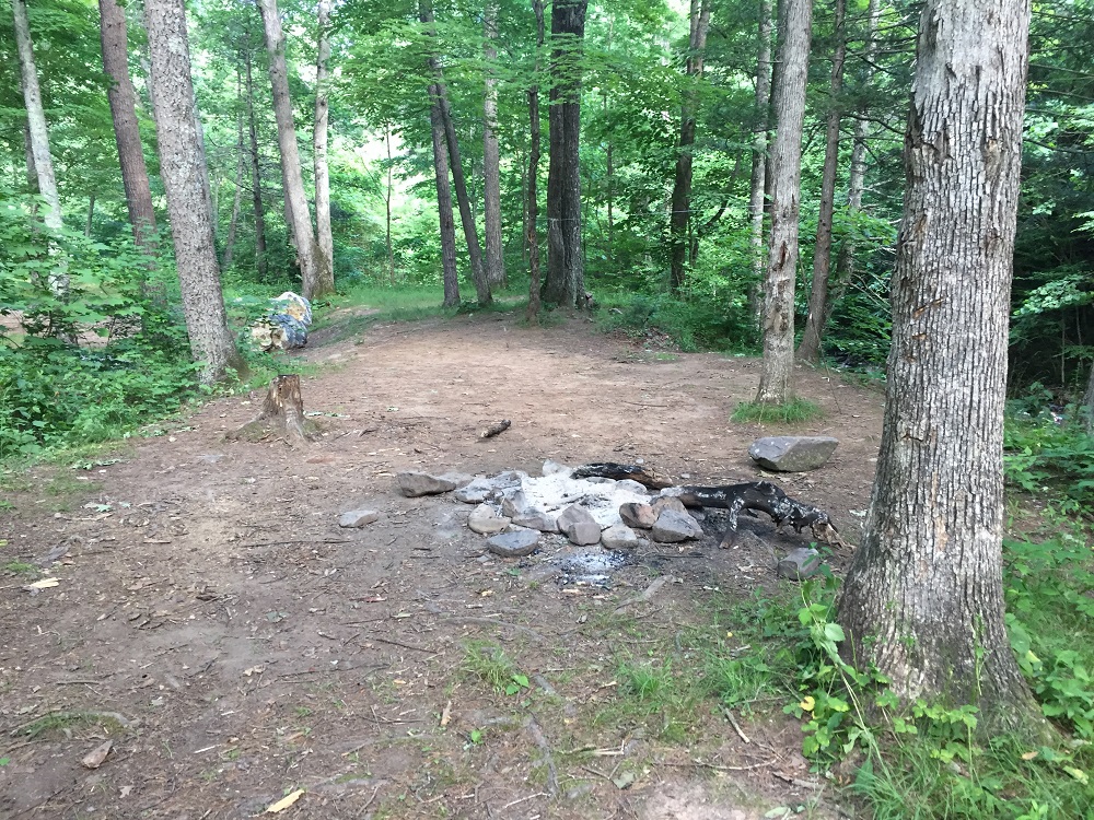
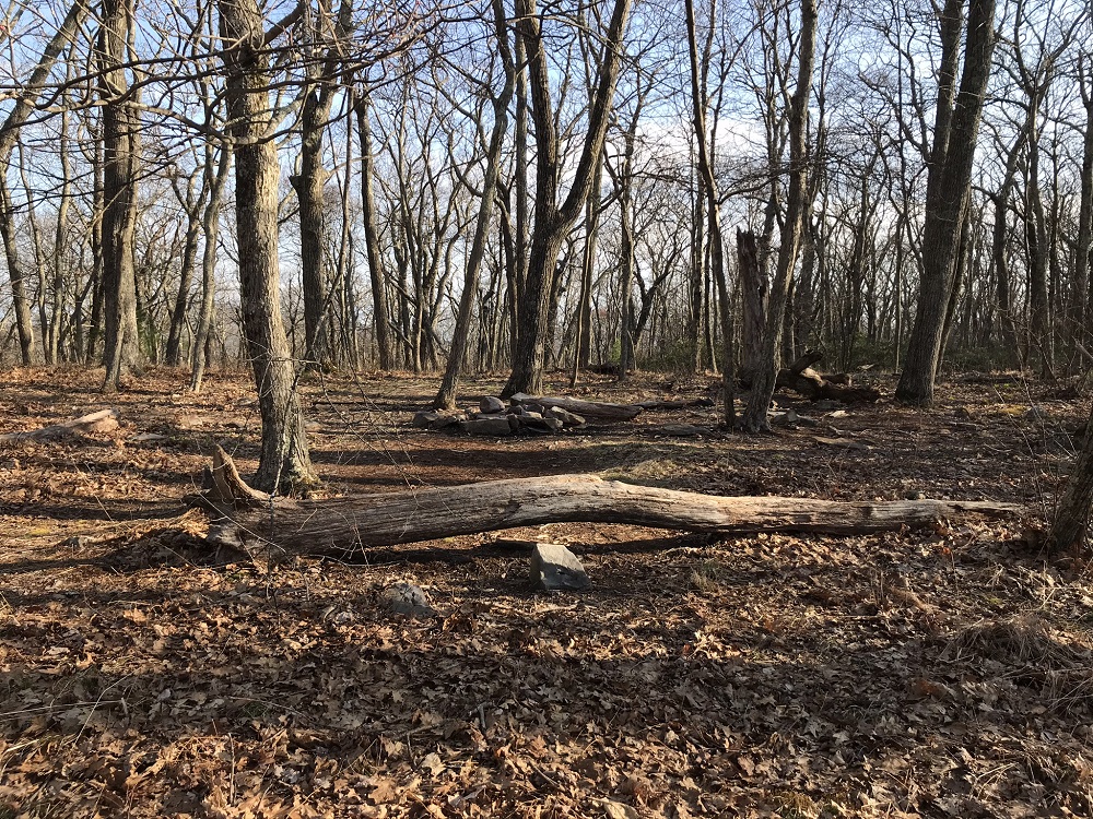
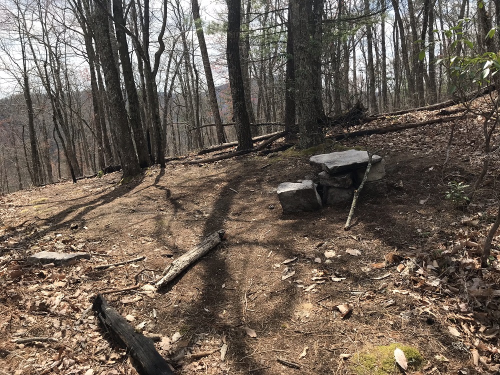
Mile 2.8 – Pass a campsite on your left.
-
Mile 3.1 – Pass a viewpoint looking east at the high point on this portion of the hike, just before the trail begins a descent that lasts 2.5 miles.
-
Mile 3.4 – Pass a campsite on your left.
-
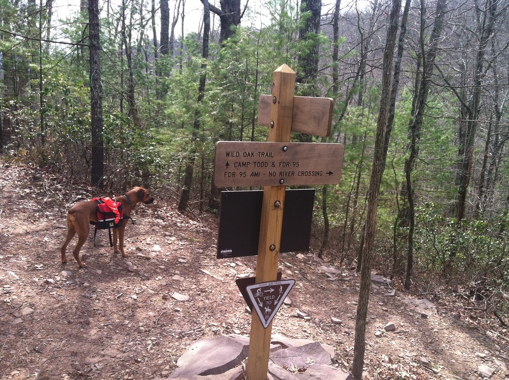
Mile 4.0 – Pass a sign indicating the Ramsey’s Draft Wilderness boundary, at a point where the Hiner Springs Trail (#446) comes in from the left. Keep straight, leaving the wilderness. The trail continues to descend and is often somewhat wet and swampy for a brief period here as it descends Springhouse Ridge. HikingUpward also describes the section of the Wild Oak Trail between this point and Camp Todd in its description of the Hardscrabble Knob hike.
-
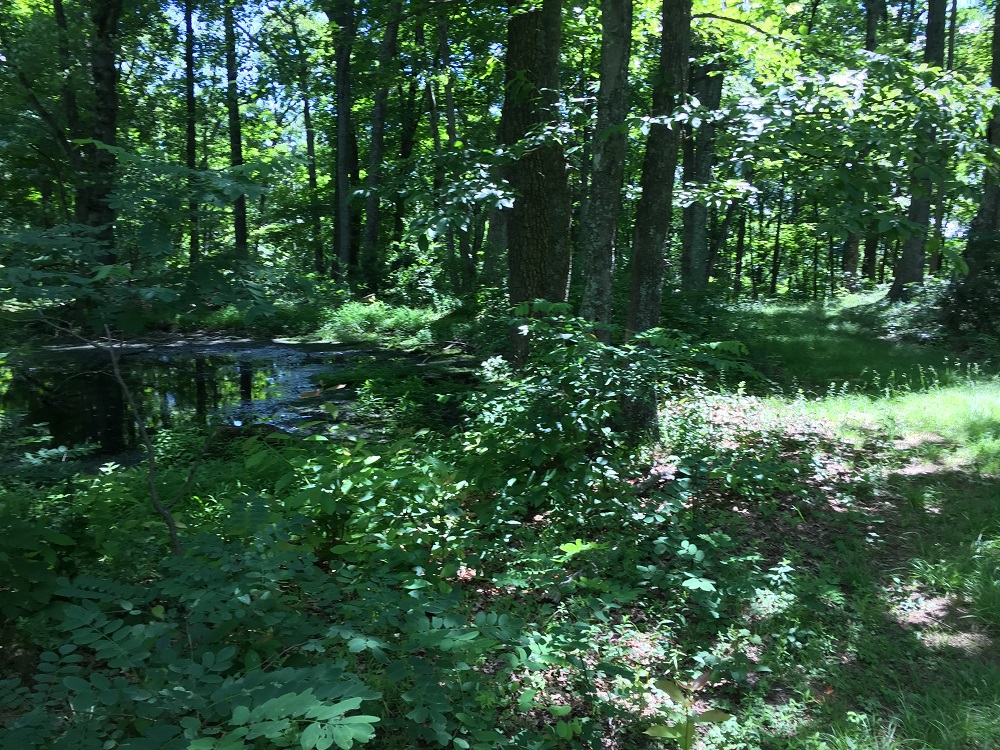
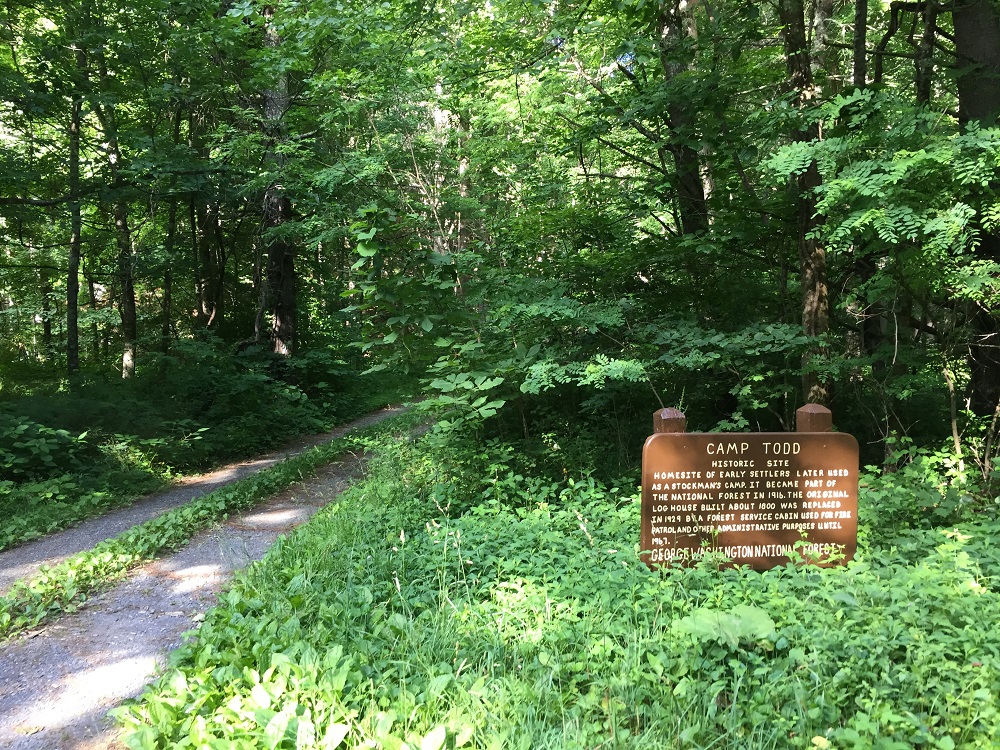
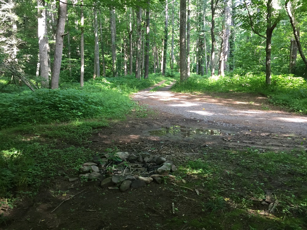
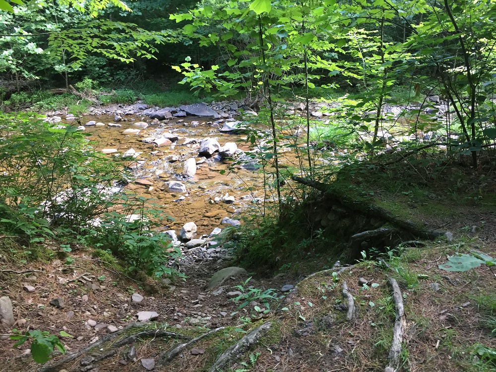
Mile 5.6 – Reach Camp Todd after dropping into a valley made by the North River. This location once included a herdsman's cabin and a Fire Guard station. This is now a pull off of the Forest Service road (FS 96), and is the 2nd of three trailhead access points on this loop. There is a stream running through this area, and you will likely need to rock hop here. Follow the road to the right to come out to the main road. There are several campsites in this area, both here, and across FS 96 closer to the North River. These are among the few campsites on this loop with easy access to water.
-
Mile 5.7 – Reach FS 96, a dirt forest service road. This part of the loop is also described in HikingUpward’s Little Bald Knob Ridge hike description. As you approach FS 96, you have a choice to make. The trail continues straight across FS 96 and then drops down to cut across the North River. If river levels are high however, you have the option of taking FS 96 left (northwest) for 0.4 miles and cross the North River on a forest service road bridge. There is a trail just after crossing the bridge, on the right, that reconnects with the main trail after 0.9 miles. If you can cross the river directly, however, you save yourself 0.7 miles. This hike description, and the mileages that accompany it, assume that you can make a direct river crossing without using the road bridge. To find the main crossing, go directly across FR 95 from the Camp Todd sign until you come to the river (passing a car campsite), then cut left about 20 feet for the crossing. You should see the trail continue on the other side.
-
Mile 5.8 – Reach the intersection with the trail that connects to the road bridge. You have now started a three mile ascent. Fortunately, this section of trail is not as steep as the ascent at the beginning of this loop.
-
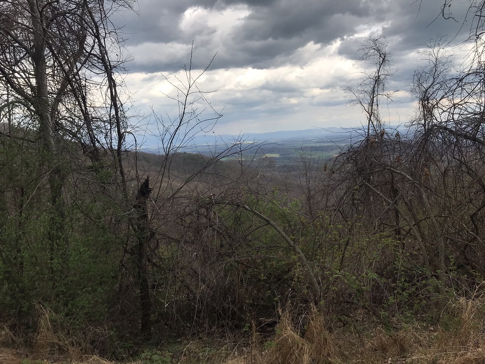
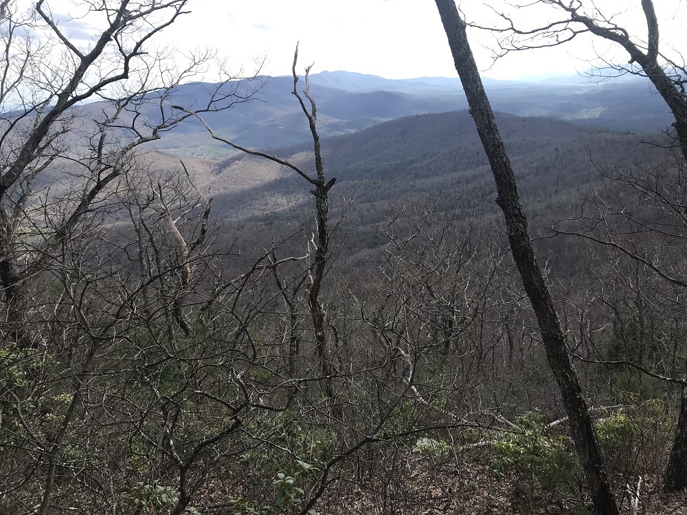
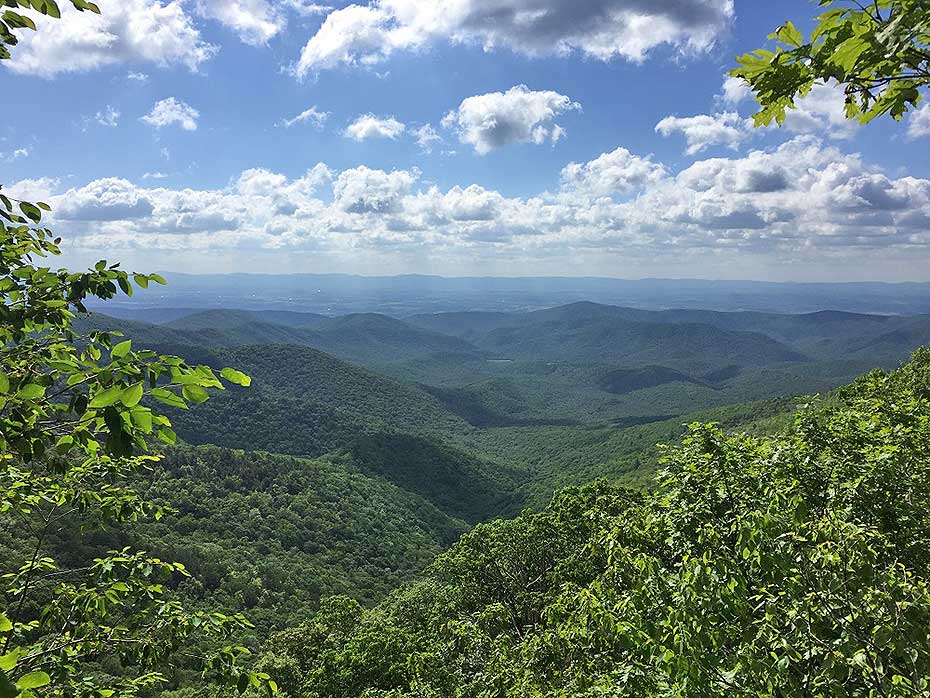
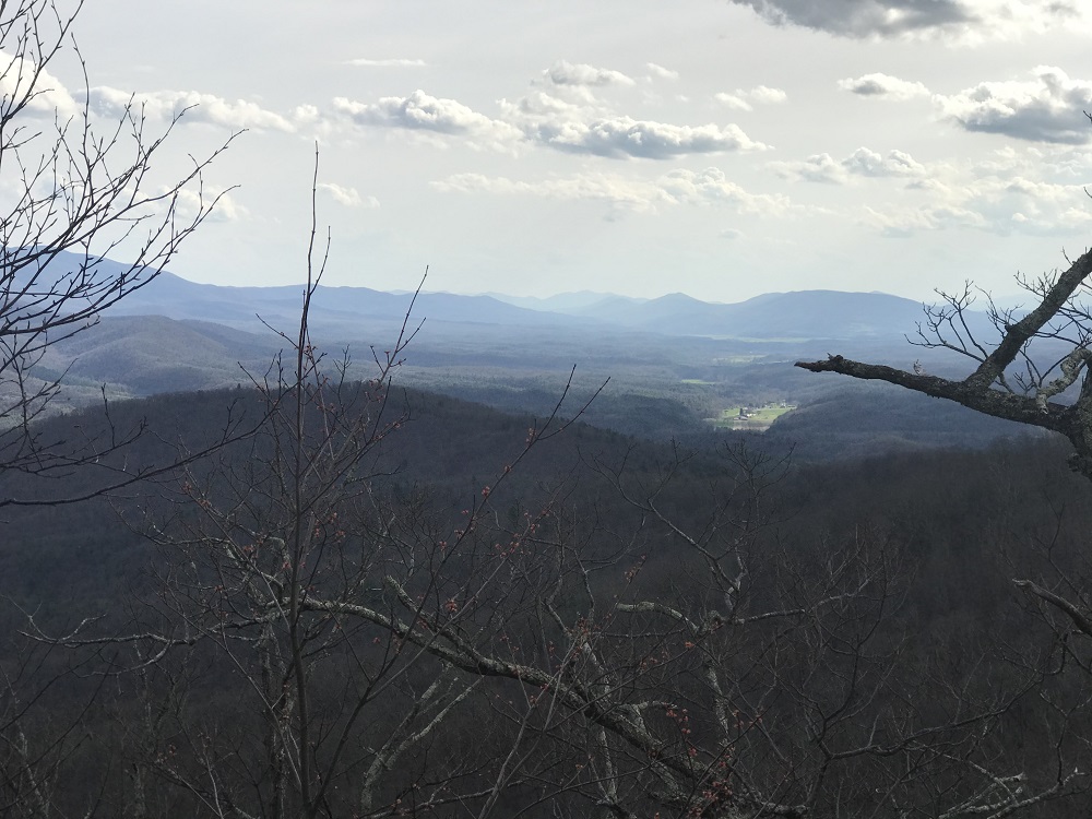
Mile 8.1 – On your right is a viewpoint looking east. In the distance are several of the mountains that the Wild Oak Trail crosses later in the loop. This is arguably the best view of the entire hike. This part of the trail is likely overgrown during the summer, though still navigable.
-
Mile 8.8 – Summit Little Bald Knob, the high point of the hike. A woods road (FS 427) meets the trail here and the trail takes a sharp right. There are some open fields and possible campsites a short way out the woods road, however none of these areas sports the quality view you passed on your way up to this point. This section of road is never open to public vehicular use, however following it north eventually connects with an open road (FS 85) that heads north to Reddish Knob. Continue to the right on the Wild Oak Trail, now heading steeply downhill on a trail section that is often used by mountain bikes coming in via the woods road you just passed.
-
Mile 11.4 – Grooms Ridge Trail (#424) intersects. If hiking clockwise, you might find yourself on the Grooms Ridge Trail – you need to turn right to stay on the Wild Oak Trail. Interestingly, the trail sign announcing the Grooms Ridge Trail is about 50 feet up the trail, so it is easy to miss this trail altogether if hiking counter-clockwise. The loop now enters a section of trail also described in HikingUpward’s Groom Ridge/Chestnut Ridge description.
-
Mile 13.3 – Pass a small wildlife pond on your left. You pass several wildlife ponds on this loop. But this one is important because it signals, after another 0.1 mile, an important intersection. The trail at this point turns into an old woods road.
-
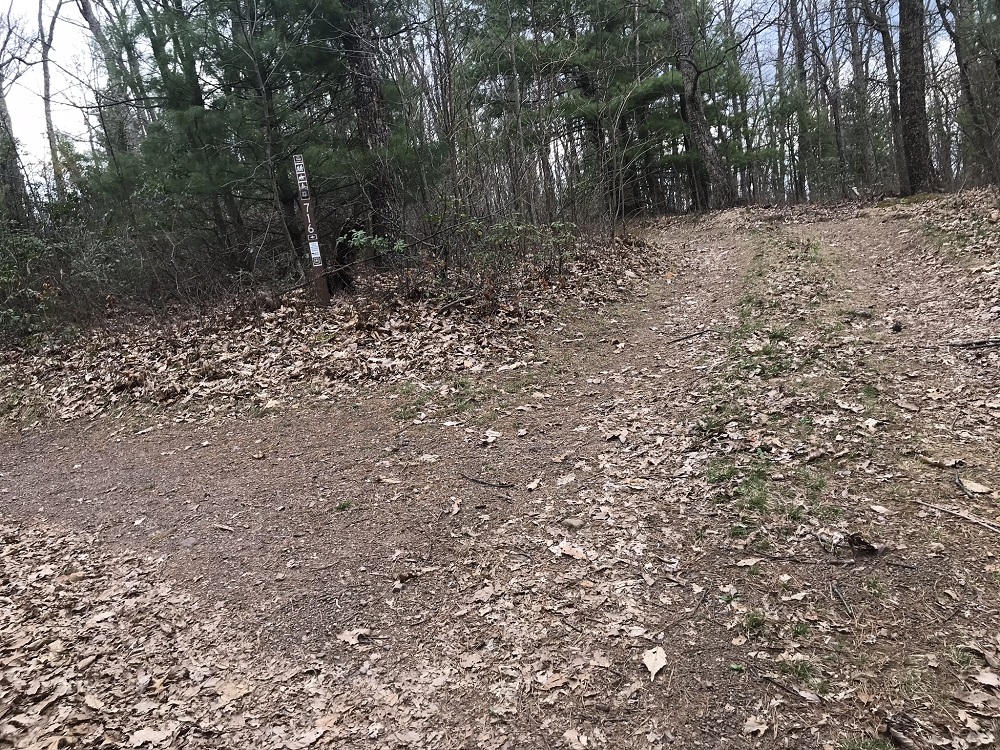
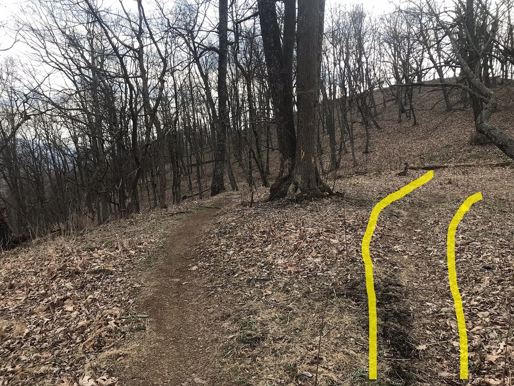
Mile 13.4 – Reach the intersection with the yellow blazed Little Skidmore Trail (#715), which is actually a continuation of the woods road. There is no trail sign at this intersection and this location has changed dramatically in recent years. Be careful here, remembering that the Wild Oak Trail is blazed white. If you continue straight (following the old woods road), you will drop off of the mountain and end up near the Forest Service’s Todd Lake Campground. Instead, turn sharp left, following the white blazed Wild Oak Trail. This is one of the easiest places on the entire loop to lose the trail, so be alert.
-
Mile 13.5 – Pass a small campsite. The trail’s elevation trends down along this part of the hike, but there are brief, and sometimes steep, uphills along the way.
-
Mile 14.7 – Pass a small campsite.
-
FS 95 Parking Start Point
Mile 15.5 – Drop into the North River valley and encounter a trail from the left. This leads to the third (and main) parking area for this loop. You are more likely to encounter others on the trail for the next mile than in any other mile of the loop.
-
Mile 15.6 – Cross FS 95, following the trail a little to the right up the road. If it is a hot day and you are hiking the entire loop, you likely will praise yourself if you hid some extra water near here on your drive in – you have hiked more than half this long loop (and ascended 4500+ feet) without lugging the extra weight!
-
Mile 15.7 – The Wild Oak Trail takes a sharp right onto an old woods road. To the left, an unmarked trail heads east towards a Girl Scout camp. The woods road slowly decends to the North River, with occasional river views along the way.
-
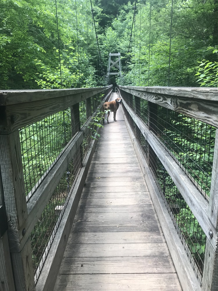
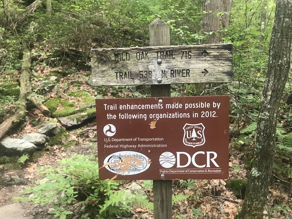
Mile 16.1 – The trail crosses the North River on a suspension bridge at the lowest elevation on this loop. This is your last reliable water source on the loop, so stop here to filter some if you did not stash any near the road. After crossing the bridge, ascend briefly, turn right, and come to a fork in the trail. To the right, along the river, is the North River Gorge Trail (#538). Take a left, and head uphill to continue on the Wild Oak Trail.
-
Mile 16.4 – Pass a sign for a trail to an overlook, described in HikingUpward’s North River Gorge writeup. After this point, the trail continues to ascend Lookout Mountain before passing below the summit.
-
Mile 19.7 – The Shaffer Hollow Trail (#513) heads down the eastern slope of Lookout Mountain, forming a loop via a closed forest service road and the Bear Draft Trail (#535), which meets the Wild Oak Trail further west. There is a small campsite on the right where the Shaffer Hollow Trail meets on the left.
-
Mile 20.8 – The Bear Draft Trail (#535) meets this loop, also dropping off the ridge to the left.
-
Mile 21.1 – Pass a permanent gate and come to a road that crosses heading uphill from right to left. Follow the road to the right to stay on the Wild Oak Trail. This is not obvious when you are hiking, as the only hiking sign indicates that the Wild Oak Trail (#716) heads in the direction you came from. Although there is no way to tell when hiking, this location passes over a tunnel that transports water from Elkhorn Lake on your right, towards Staunton.
-
Mile 21.3 – A road drops off the ridge to the right. This road (FS 425) descends to the North River Campground and the North River Gorge Trail. Continuing straight, this road becomes part of the Wild Oak Trail. It is open part of the year (during hunting season) and traversing this road portion is the least interesting portion of the entire loop. There are multiple fields along the next portion of the loop, maintained to attract wildlife, that could be used as campsites.
-
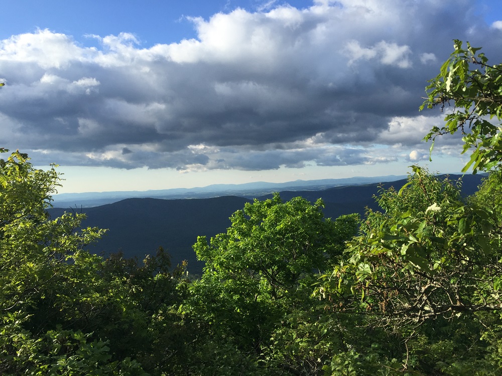
Mile 21.6 – The trees open up for a nice view to the left.
-
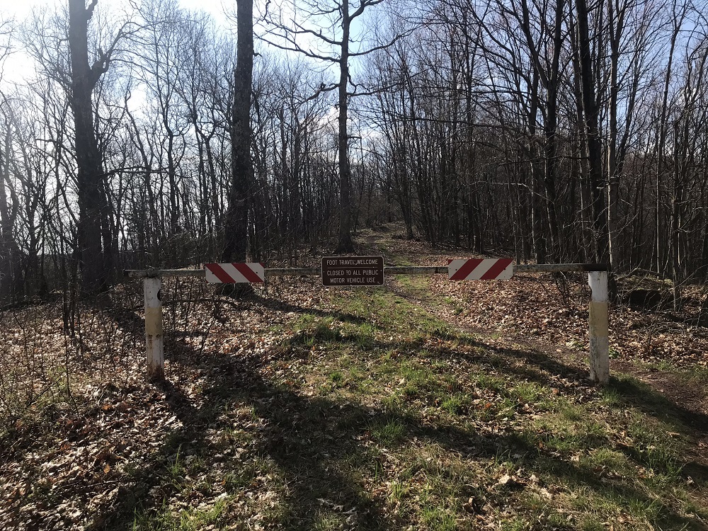
Mile 23.5 – The public access portion of the road you have been hiking ends here. Pass a closed gate.
-
Mile 24.3 – Shortly after cresting Hankey Mountain, the high point on this portion of the loop, the White Oak Draft Trail connects from the left. This trail is often overgrown at this intersection, and is easy to miss. It descends south to U.S. 250 near White’s Wayside Restaurant. Continue straight.
-
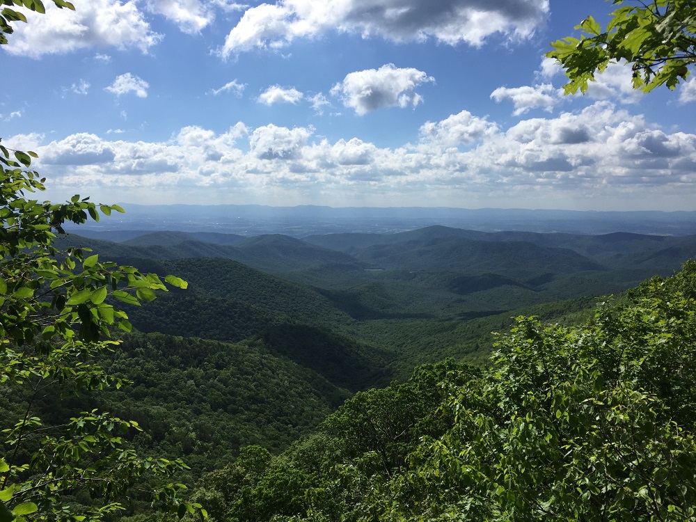
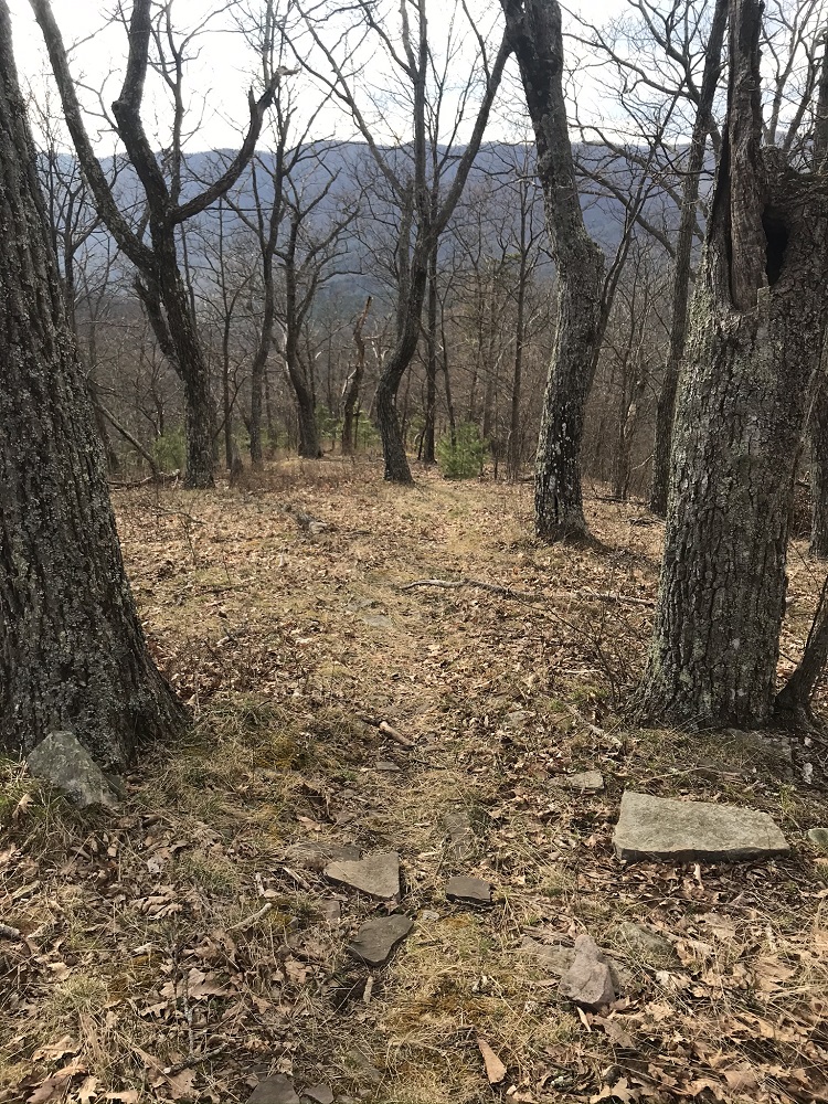
Mile 25.3 – Pass a rocky outlook with wonderful views to the southwest towards Deerfield and Walker Mountain and southeast of Great North Mountain and Elliott Knob. The route of the Wild Oak Trail from shortly before this point until the end of the loop has been extensively altered in the last decade, increasing the distance hiked but decreasing the steepness of the slopes via new switchbacks. This overlook was not on the trail before the alignment changed.
-
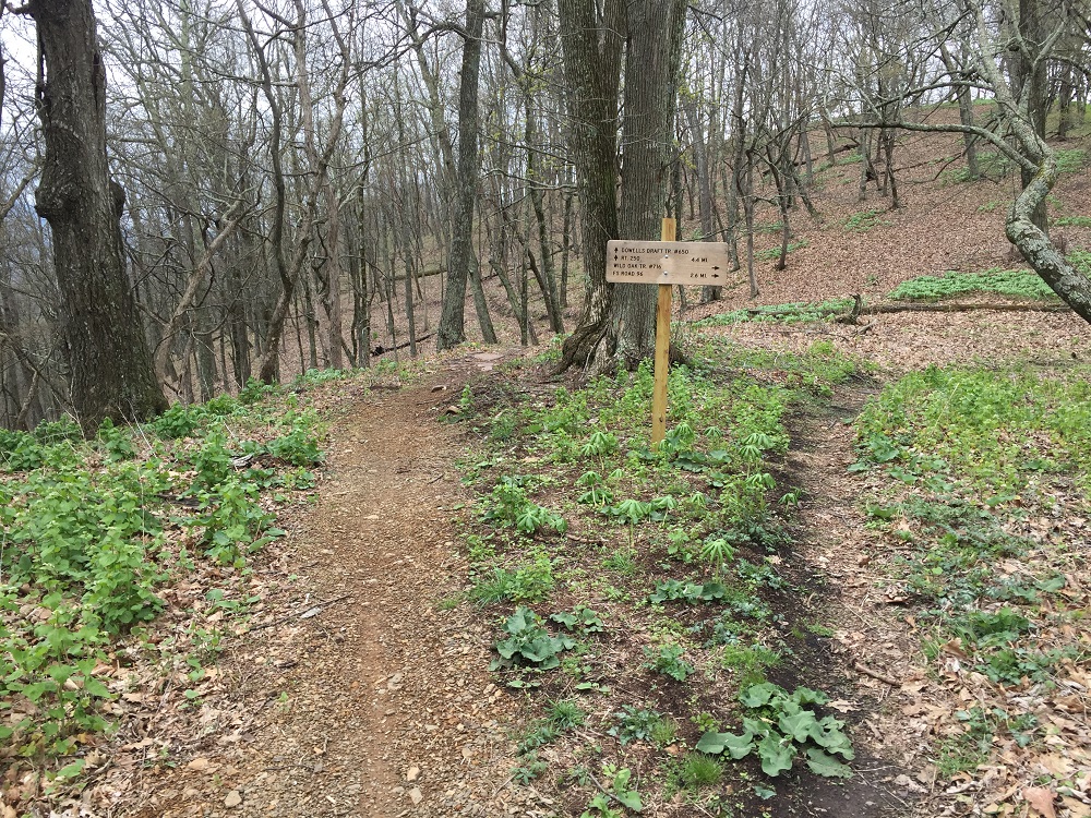
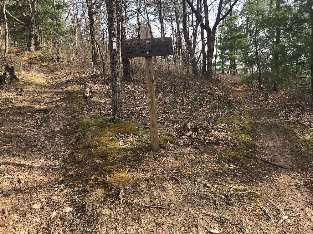
Mile 25.7 – Shortly after a switchback cuts left, come to a confusing section of trail that requires care due to a missing sign. You reach a point where the trail appears to cut to the left around a small slope. There used to be a sign here telling you that the trail forked, and to the left is the Dowell’s Draft Trail (#650), which heads south to US. 250 at the Crawford Knob Trailhead. As of this writing, this sign is gone. Look carefully for a fainter trail that ascends the slope on the right. This is the Wild Oak Trail. Cut right and crest the slope. The following small portion of the loop is seldom used by mountain bikers – they follow the Dowells Draft Trail (#650) for 0.4 miles to the Betsy Trail (#651) which they take right for 0.6 miles back to the Wild Oak Trail. This increases the distance of the loop by a half mile. Because of this diminished use, this little section of trail, though steep, is grass covered, wonderfully soft, and lacking erosion.
-
Mile 26.1 – The Betsy Trail (#651) connects from the left. This trail connects with the Dowells Draft Trail (#650), described earlier. Continue straight.
-
Mile 28.1 – After several additional switchbacks, the trail gradually drops to the Braley Pond Road and the parking lot where you left your vehicle. (Note to those hiking the loop in the opposite direction: two trails leave the road – take the gradual one on the left as the other is the old trail alignment.)
|
|
