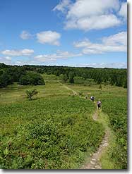
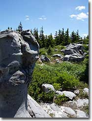
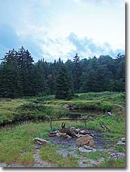
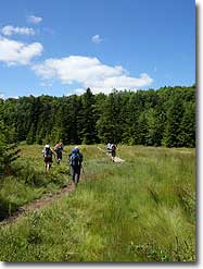
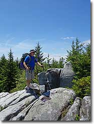
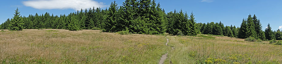
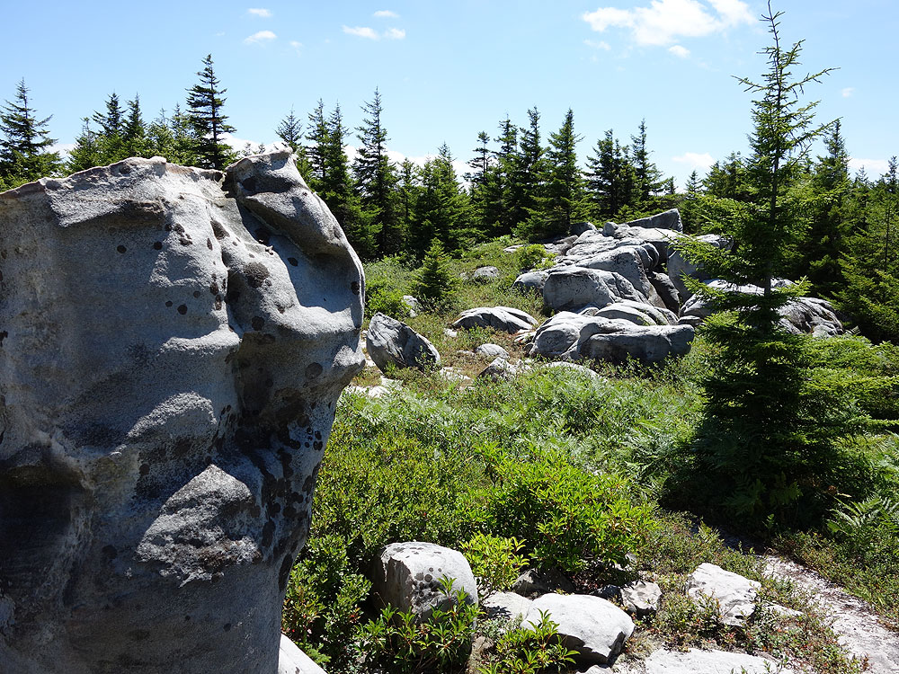
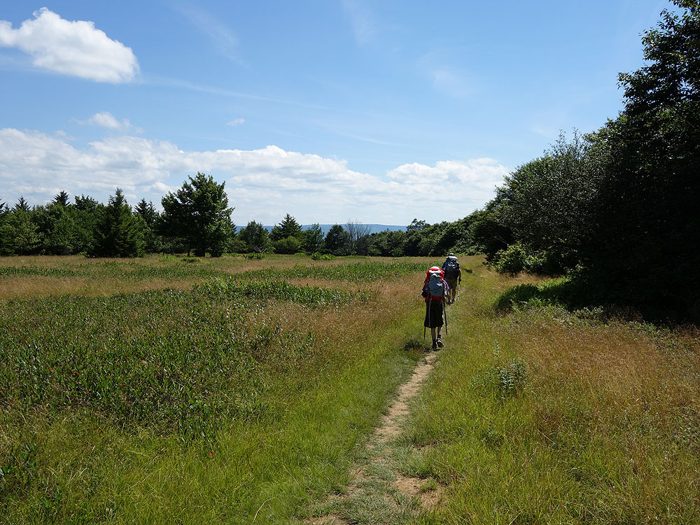
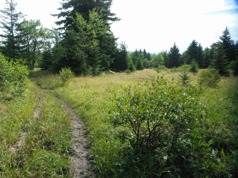
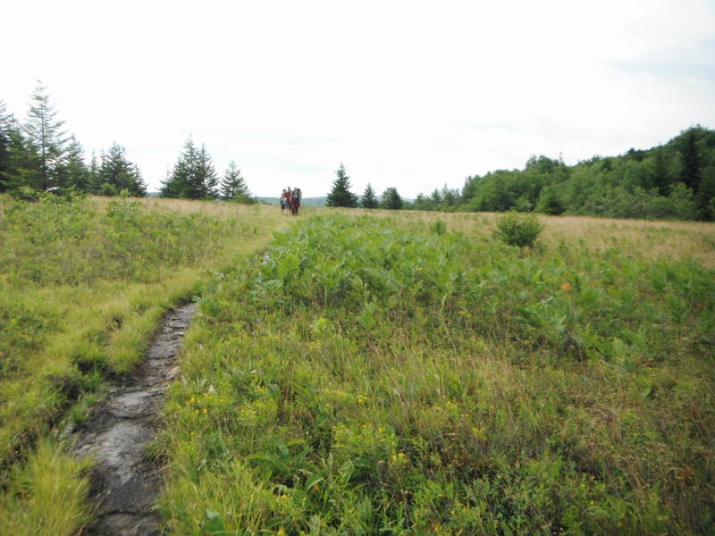
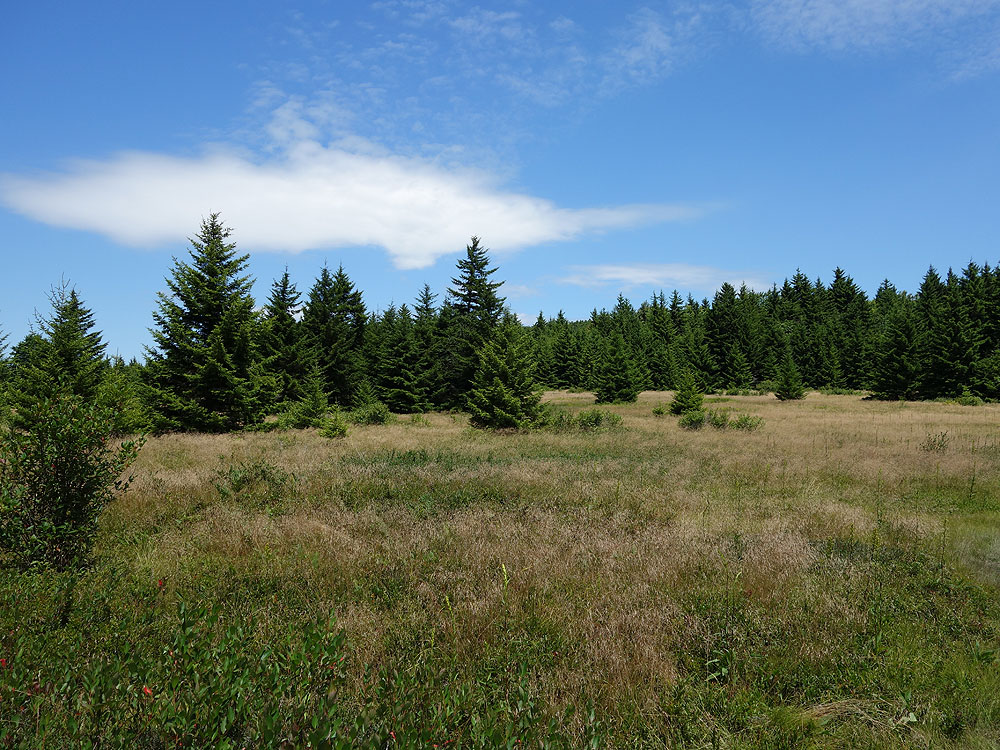
Arguably one of the most unique, and beautiful hiking areas on the East Coast. The high plateaus of Dolly Sods are made up of wind carved sand stone, stunted red spruce, grassy meadows, and sphagnum bogs. The characteristic meadows are the result of logging that took place from 1899 to 1924. During the Second World War the U.S. Army used the area for artillery and mortar training, and at the trailheads the Army Corp of Engineers still displays signs warning hikers that there may be unexploded ordinance in the area.
The name Dolly Sods derives from a combination of Dahles, a local 18th century family, and Sods, meaning an open mountain top or meadow. After WWII the area fell into neglect, and was threatened by multiple construction and mining project proposals. Then in the early 1970’s concerned environmentalists, along with The Nature Conservancy, began purchasing the land for preservation and recreational use. Today the Dolly Sods Wilderness Area comprises 17,371 acres.
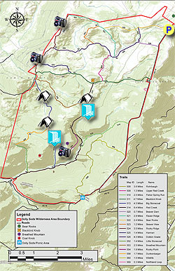
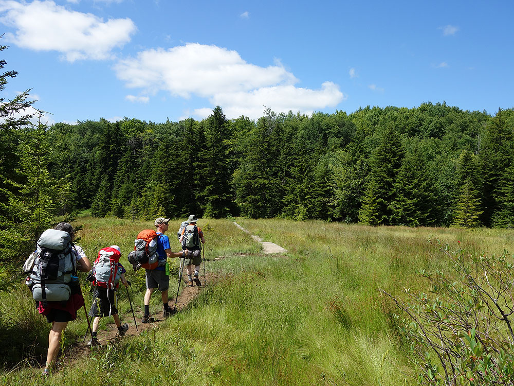
With over 47 miles of hiking trails following old railroad grades and logging roads there are many hiking circuit options. We have 3 circuit hikes posted here: Dolly Sods North, at 10 miles this hike highlights the high meadows and mountain views. The Forks of Red Creek, in the central section crossing Red Creek and several streams. And this hike, Dolly Sods/Lions Head, that combines the best parts of the first 2, as well as the view from the Lions Head on Breathed Mountain.
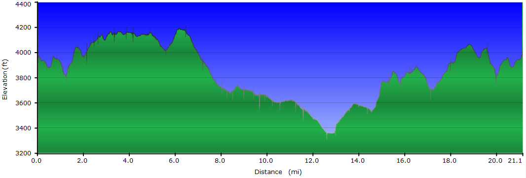
This 21.1 mile circuit can be done as either a 2 or 3 day backpack. As a 3 day backpack camp along Big Stonecoal Run the first night, then the Forks of Red Creek the second. This makes for a leisurely 9.4, 5.2, and 6.5 miles each day. Finding camping along the Big Stonecoal Trail TR513 should not be a problem any time, but make sure to arrive in the early afternoon at the Forks of Red Creek on the second day to get a good camp spot. If you decide to do this as a 2 day backpack, still camp along the Big Stonecoal Trail TR513, however this makes for a challenging second day of 11.7 miles back to the parking area.
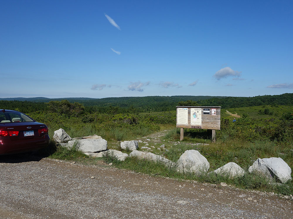
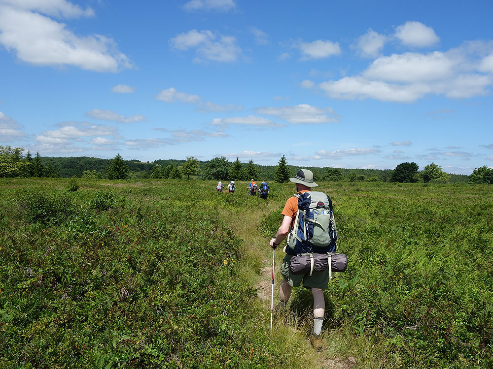
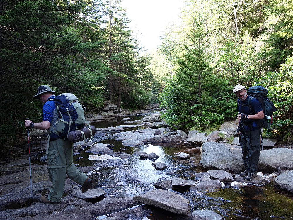
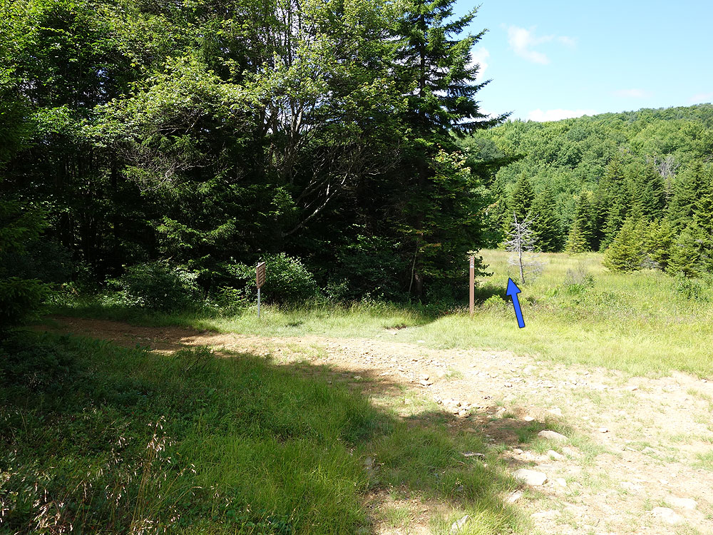
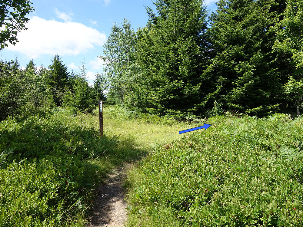
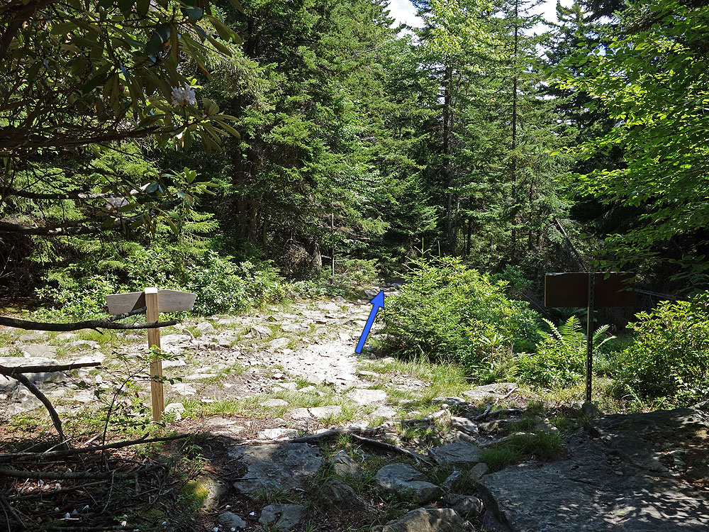
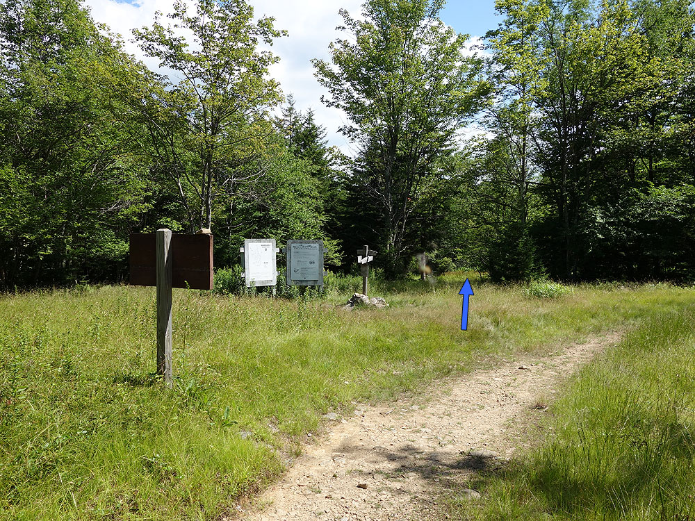
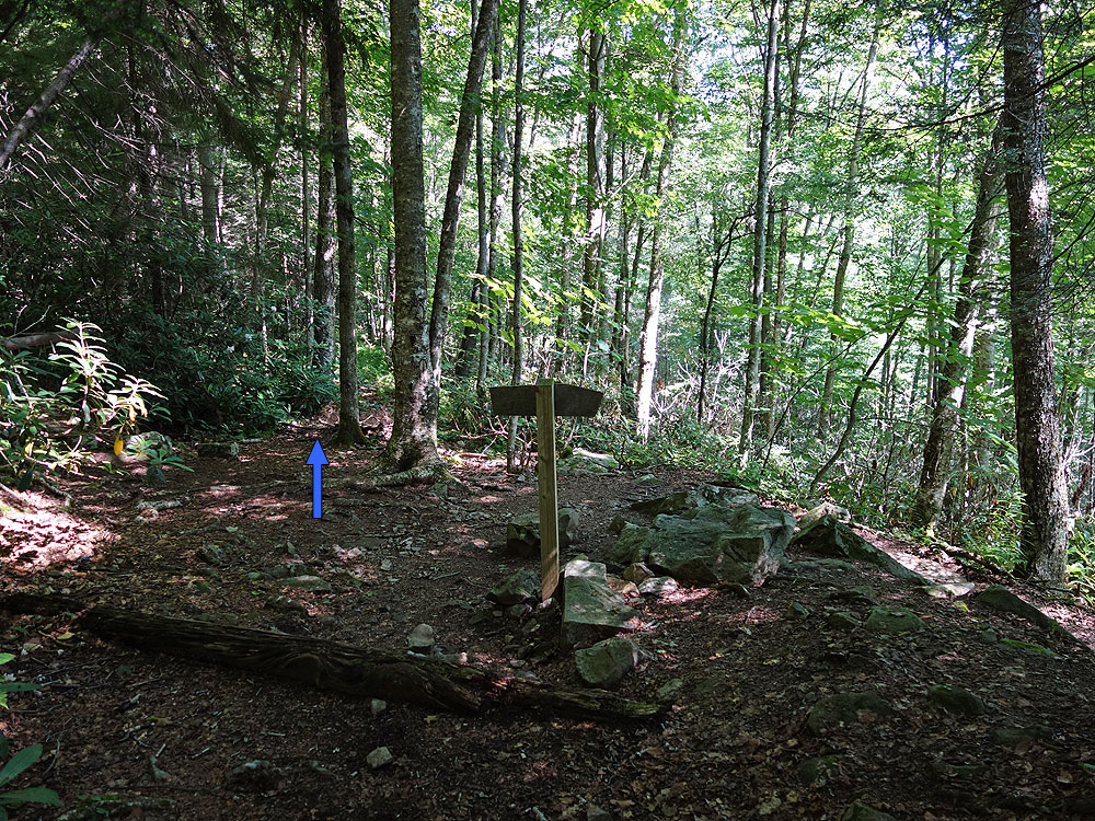
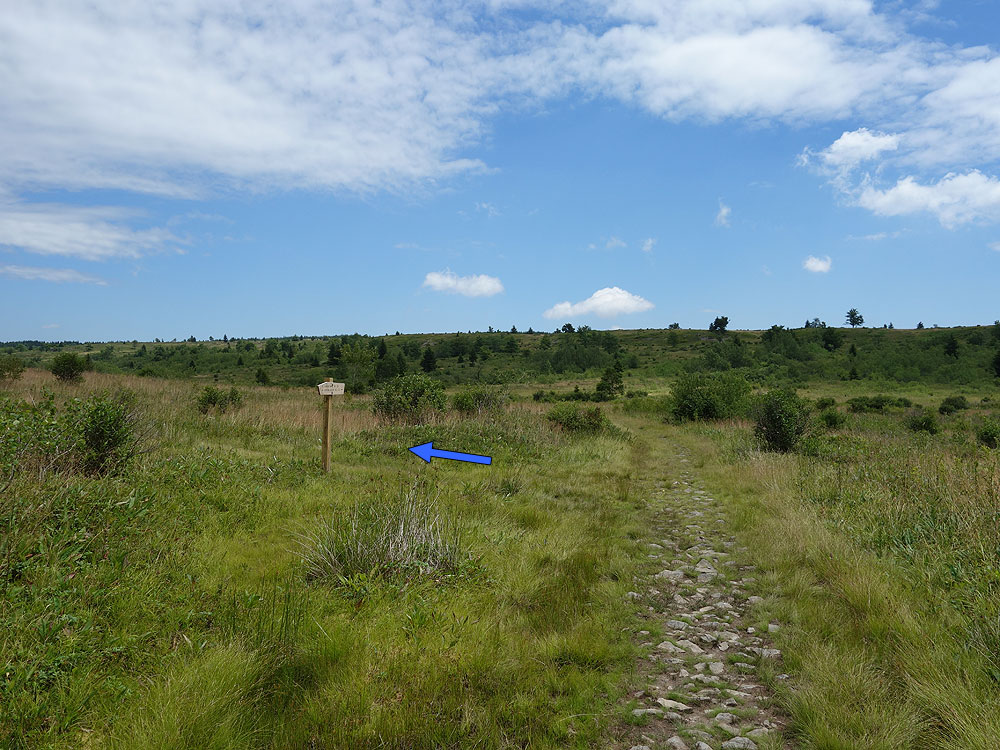
Mile 0.0 – From the parking area on FR75 pass the trailhead sign and start down the Bear Rocks Trail TR522. Note that none of the trails in the Dolly Sods area are blazed, however they are well marked with signage. The Bear Rocks Trail is washed out for the first 0.5 miles until it crosses a small stream. Pass over a ridge, and then descend another washed out section to the intersection of the Dobbin Grade Trail TR526 on the left.
Mile 5.5 – Reach the intersection of the Dobbin Grade Trail TR526. Stay right on the Rocky Ridge Trail TR524 climbing over Harman Mountain then arrive at the intersection of the Harman Trail TR525 in 0.9 miles.
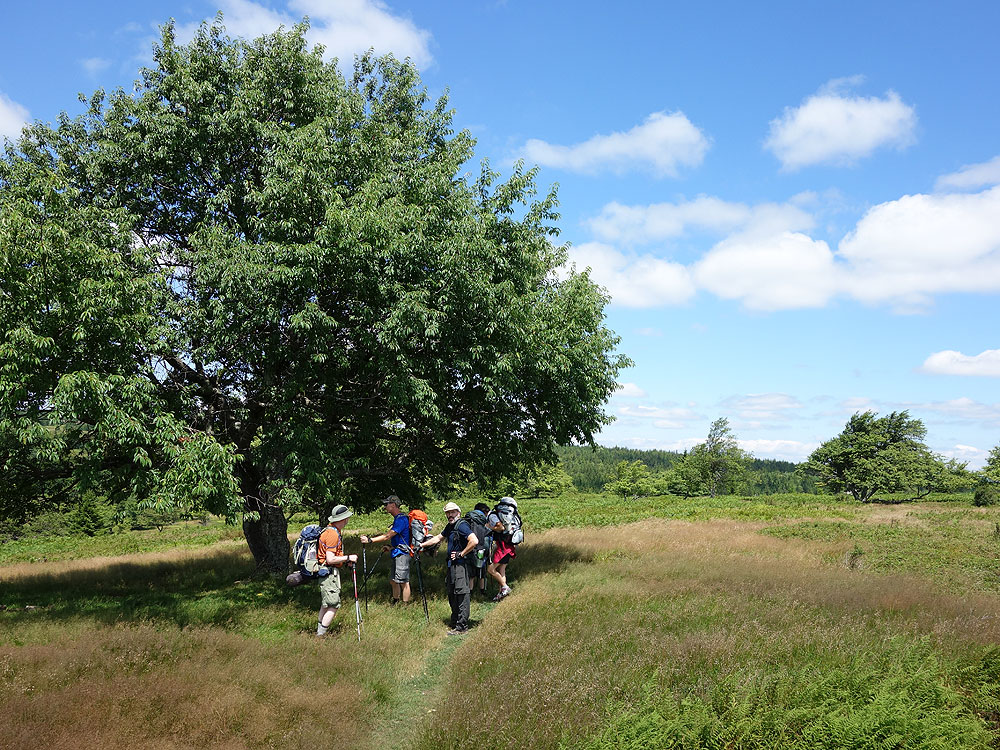
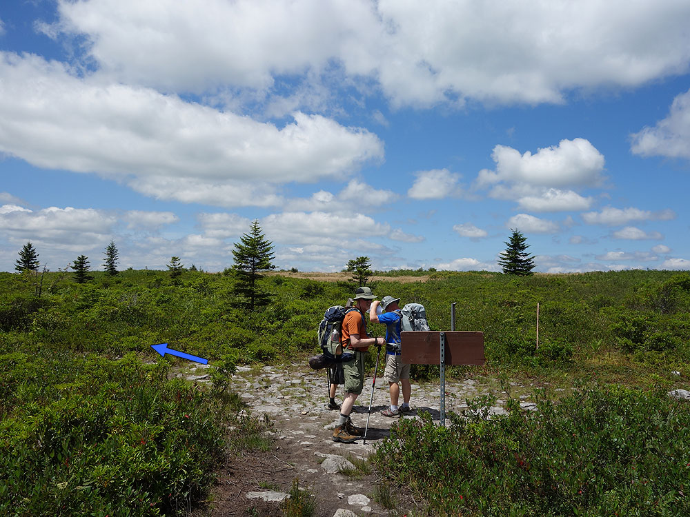
Mile 6.9 – Continue downward for 0.2 miles to the 4 way intersection of the Breathed Mountain Trail TR 553, Big Stonecoal Trail TR513, and Forestry Road that leads down to Canaan Valley.
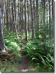
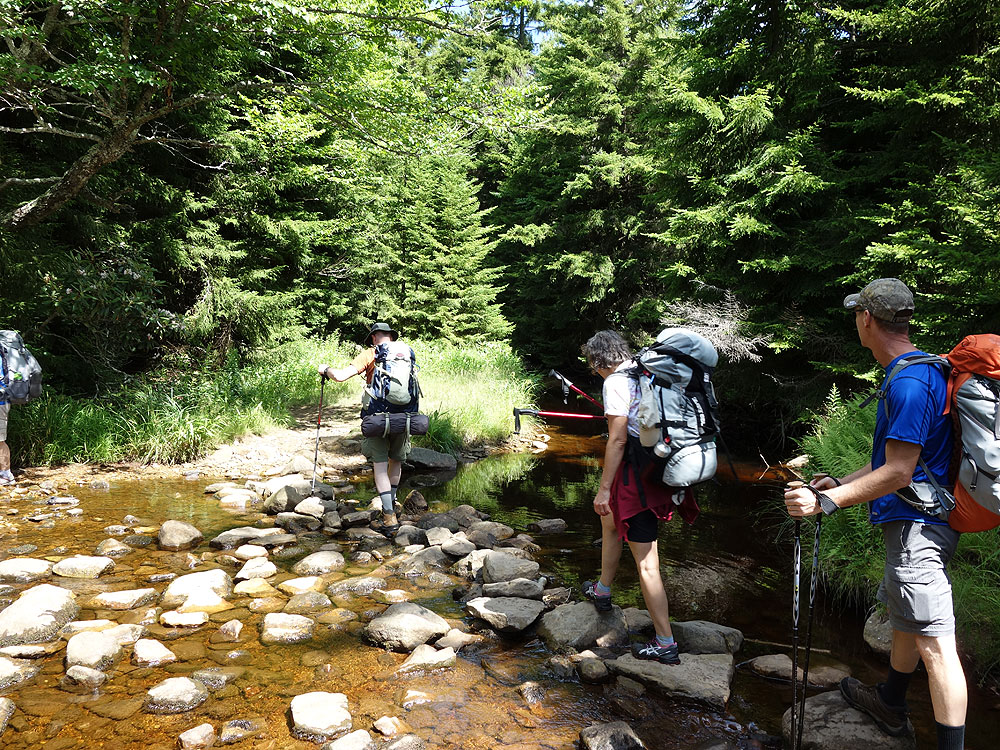
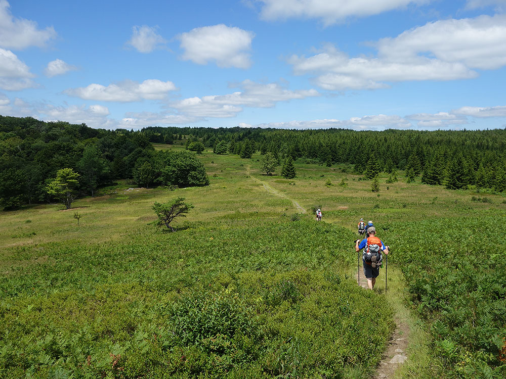
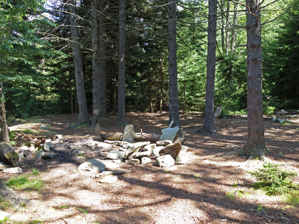
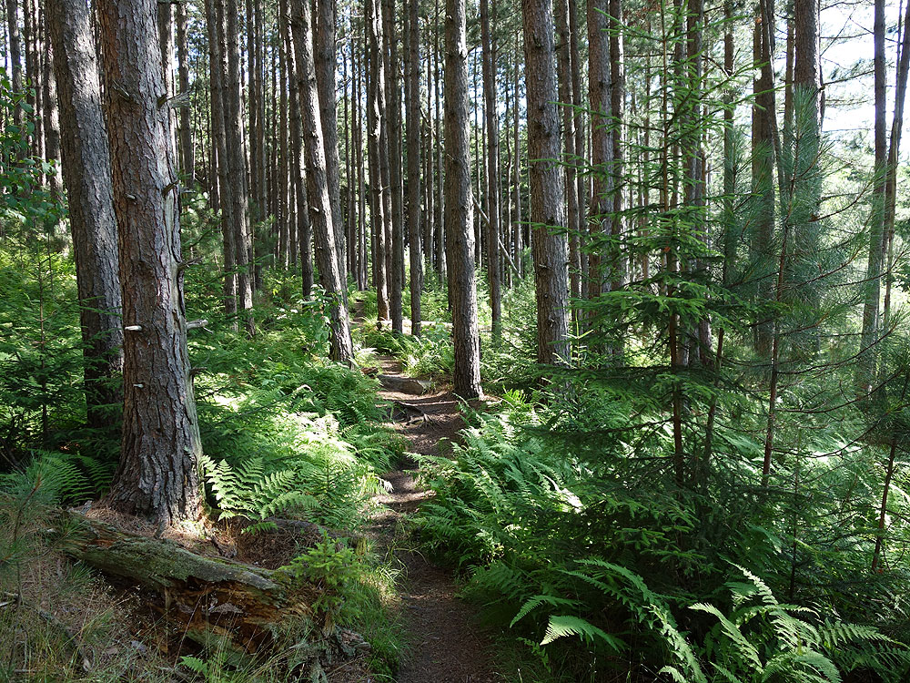
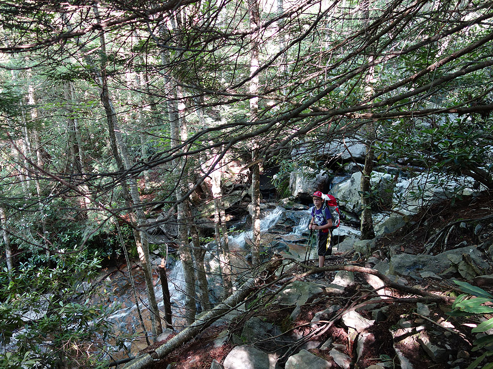
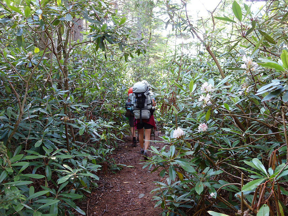
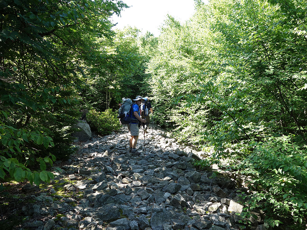
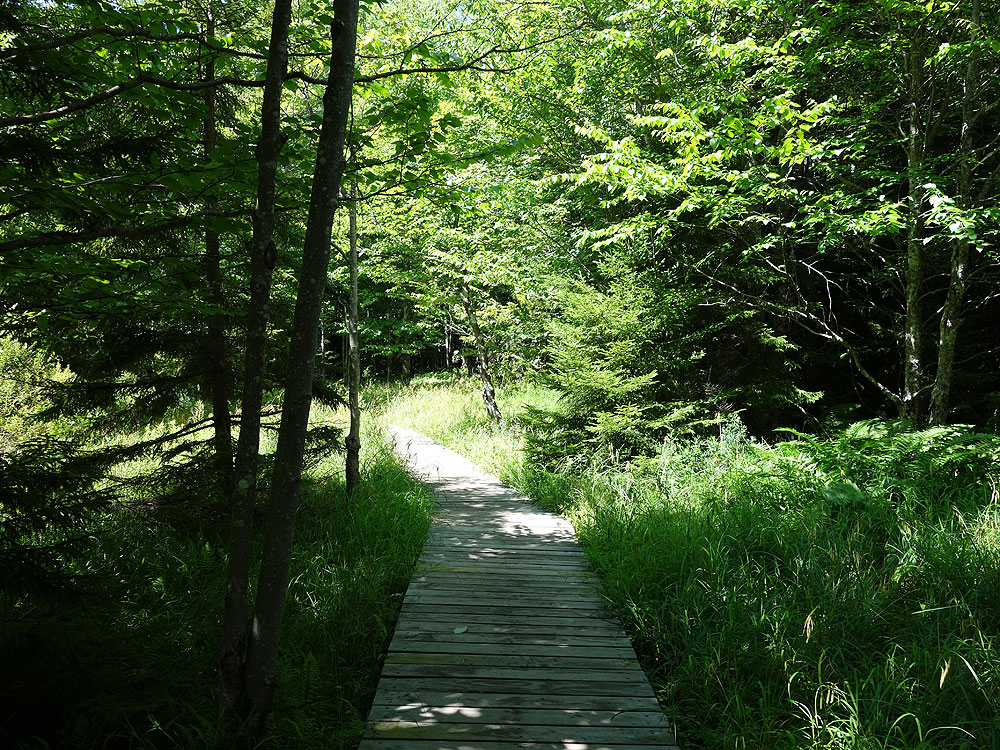
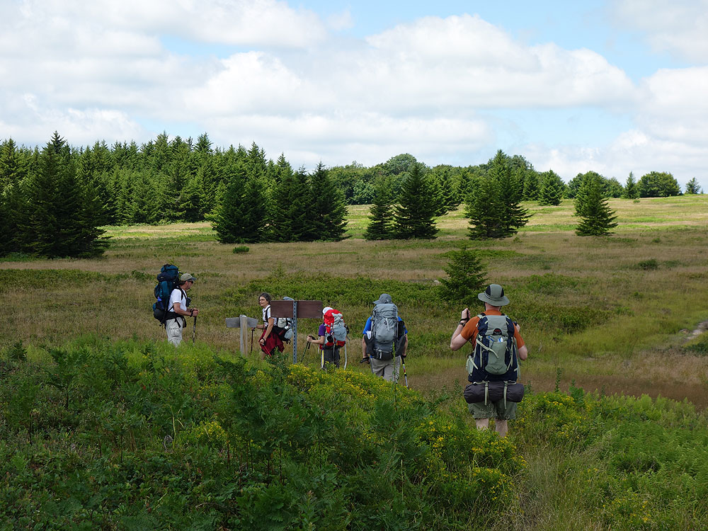
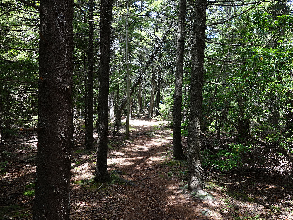
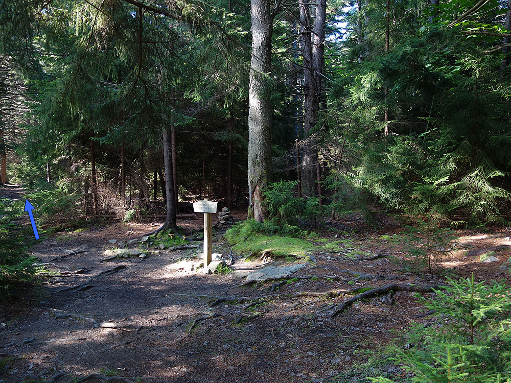
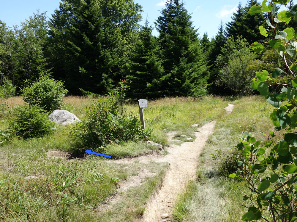
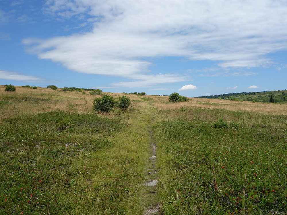
Mile 7.1 - There are 2 information boards at this intersection with maps of the area. The trail you have been on the Rocky Ridge Trail TR524 ends then becomes the Forestry Road leading to Canaan Valley. Take the narrower Big Stonecoal Trail TR513 directly ahead as it descends into the woods. This section of Dolly Sods is more wooded with heath and sphagnum bogs. Pass several good campsites as you descend gradually along Stonecoal Run.
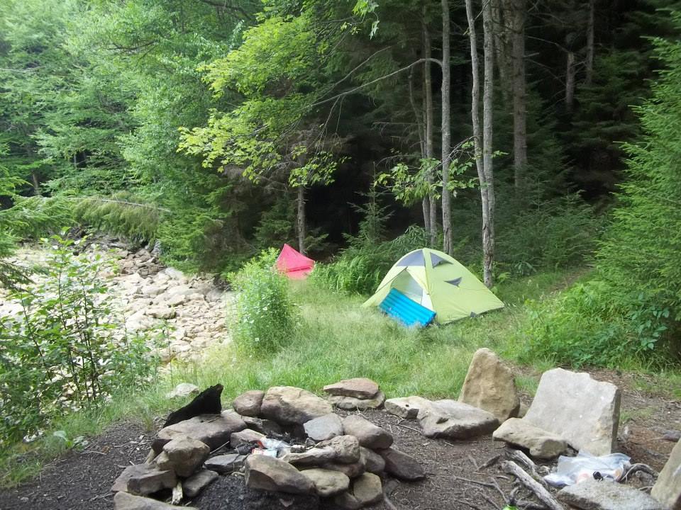
Mile 9.4 – Cross Stonecoal Run. On the opposite bank is a small campsite in a sandy area. Pass around the back of the campsite where there is a much nicer camp area 50 yards upstream.
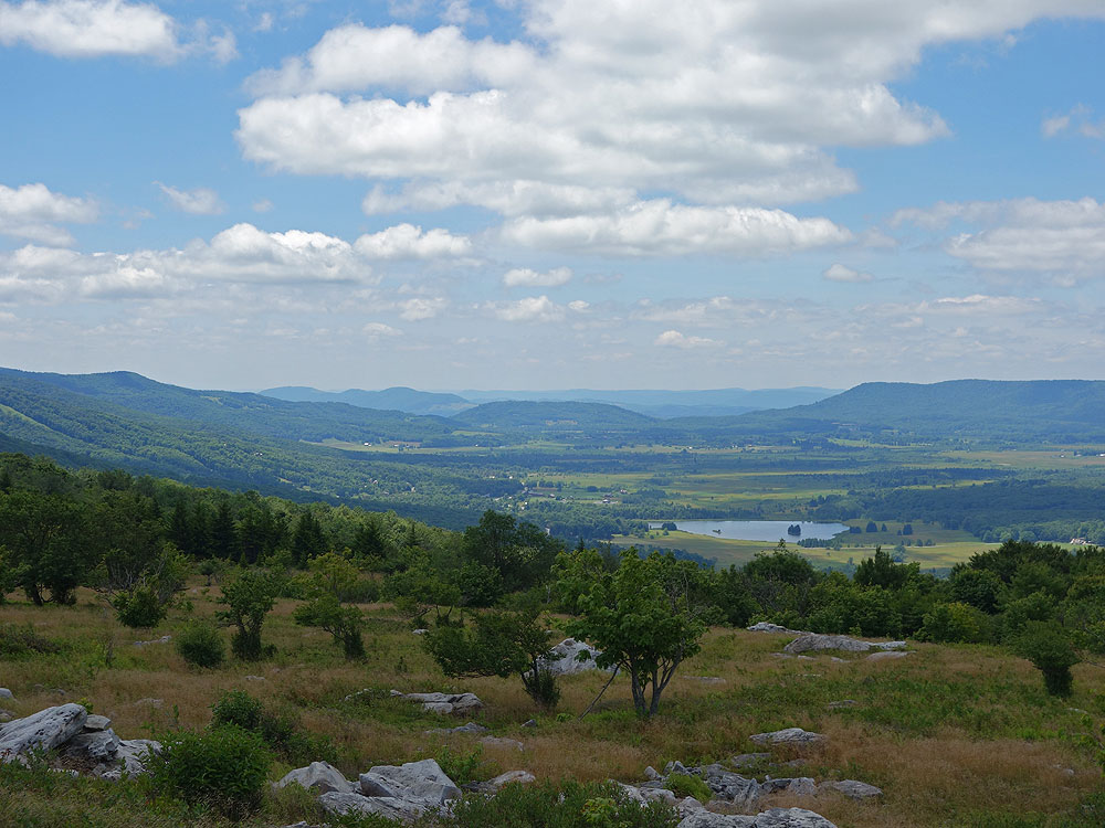
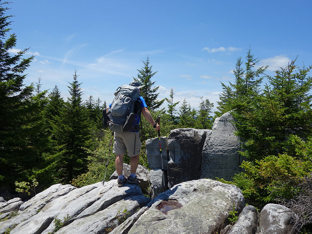
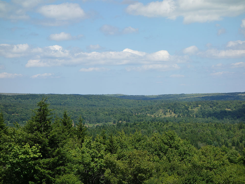
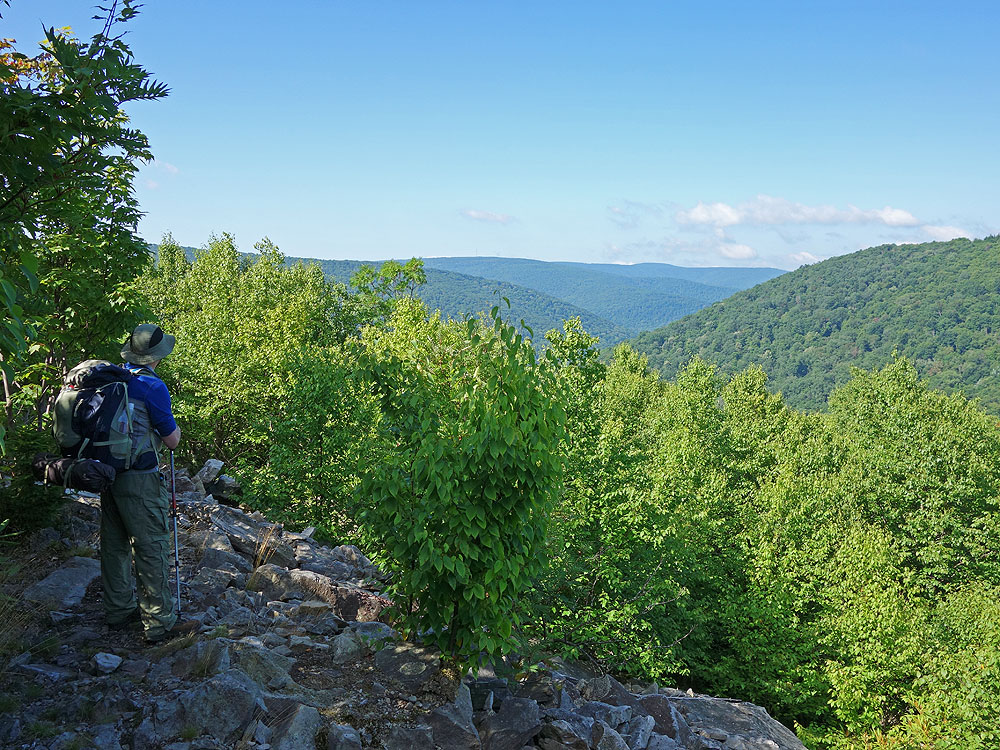
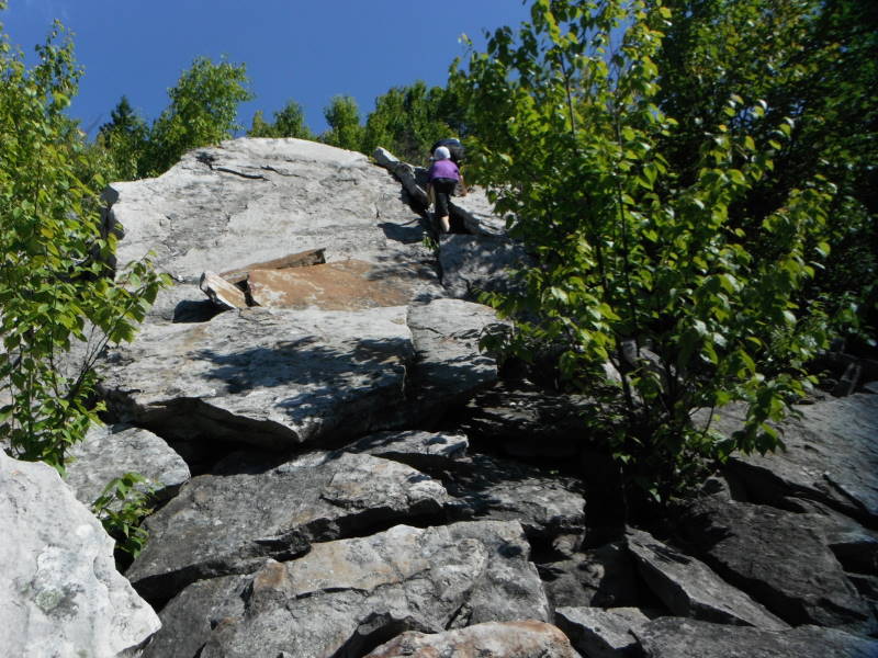
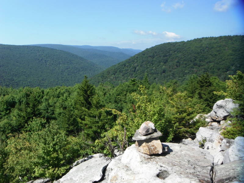
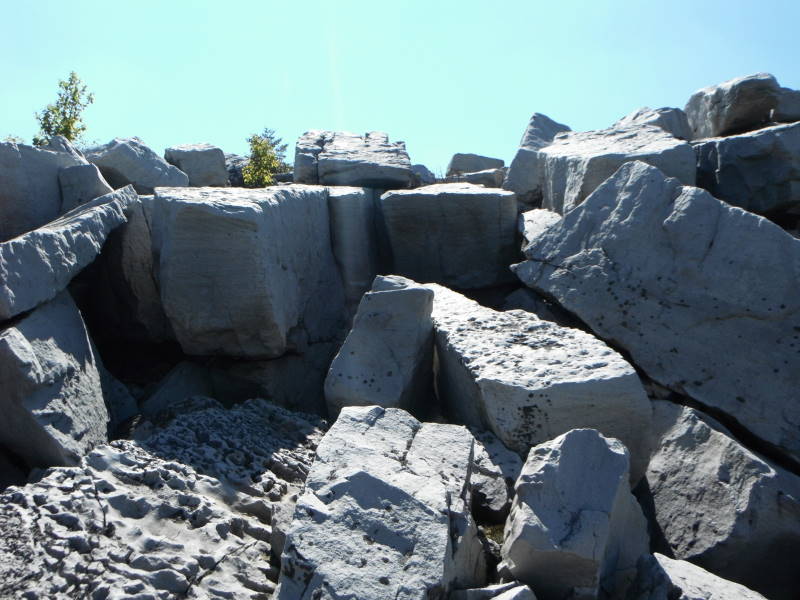
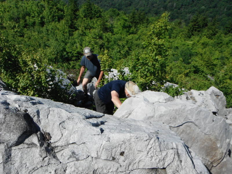
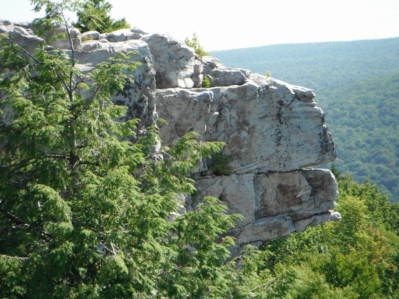
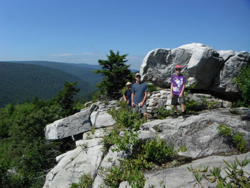
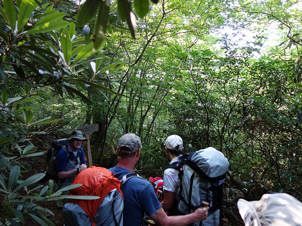
Mile 10.4 – Stay left on the Rocky Point Trail TR554 arriving at a vista to the south. At the point where the trail heads back to the north look closely for an unsigned trail with no blazes, and marked with occasional rock cairns that leads left uphill. This is a rock scramble uphill for the 0.1 miles. Bear right at a flatter area with a nice view of the Lions Head. After exploring the Lions Head return to the Rocky Point Trail TR554 and continue north towards Red Creek.
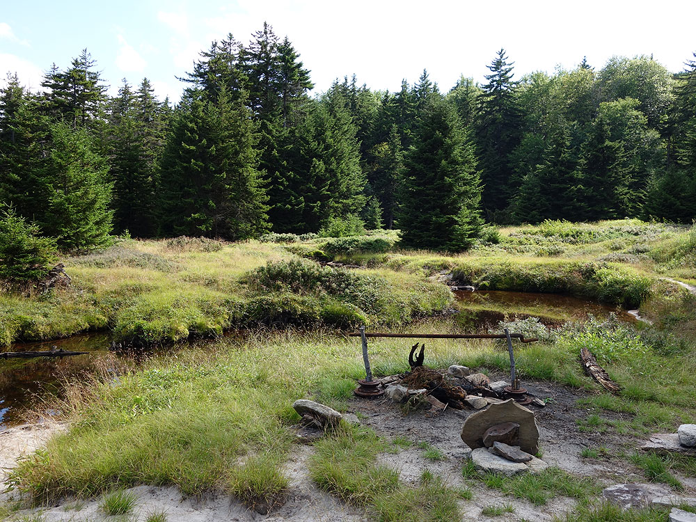
Mile 13.2 – The Rocky Point Trail TR554 ends at the intersection with the Red Creek Trail TR514. Continue straight on the Red Creek Trail TR514 for 1.4 miles to the intersection with the Breathed Mountain Trail TR553. Continue on the Red Creek Trail TR514 and shortly arrive at the Forks of Red Creek.
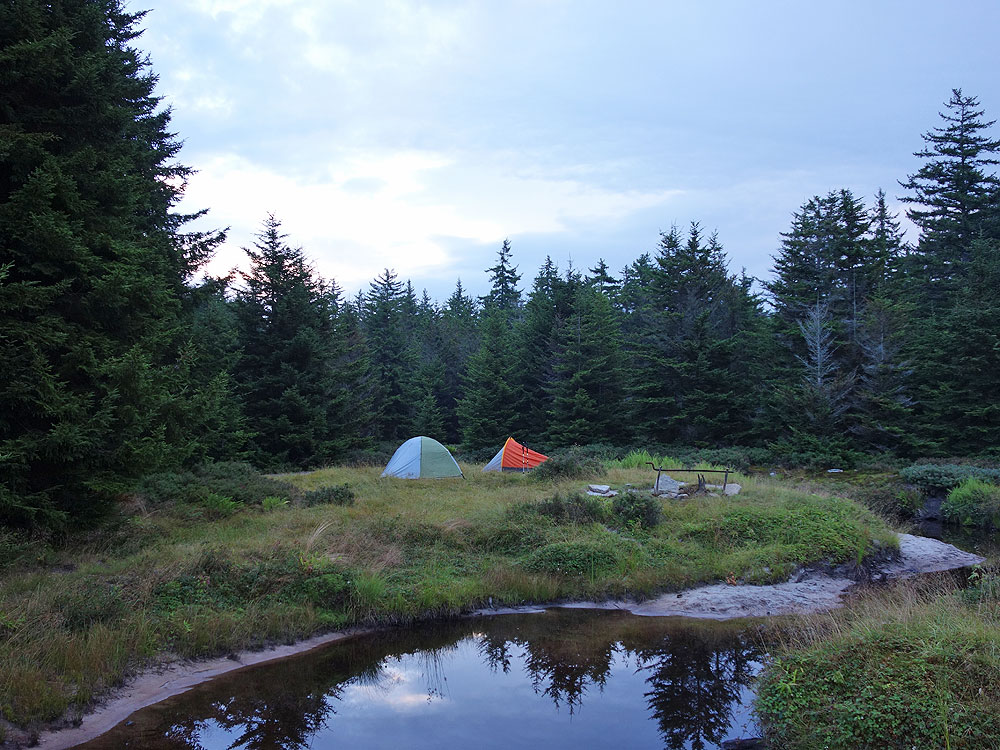
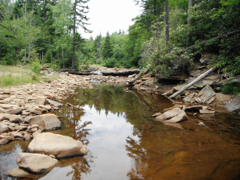
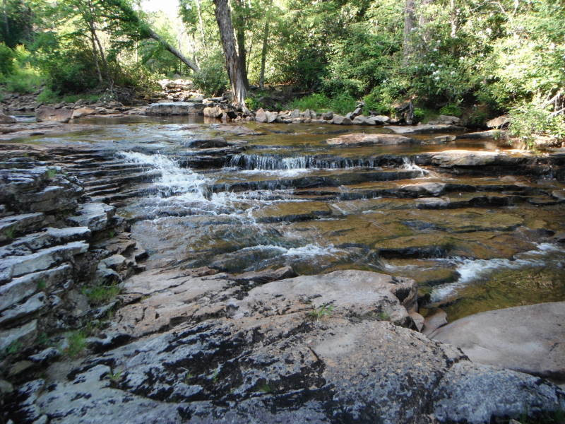
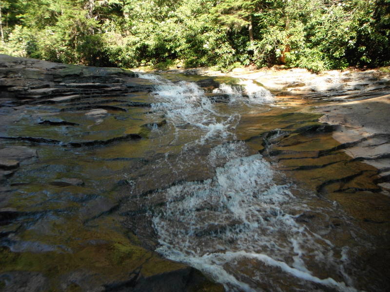
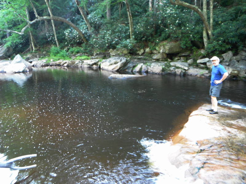
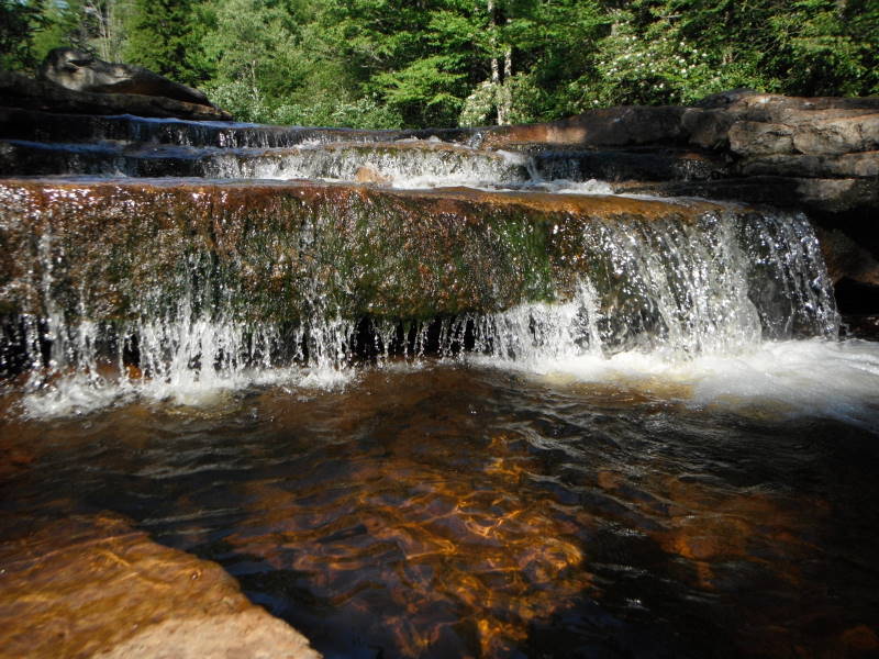
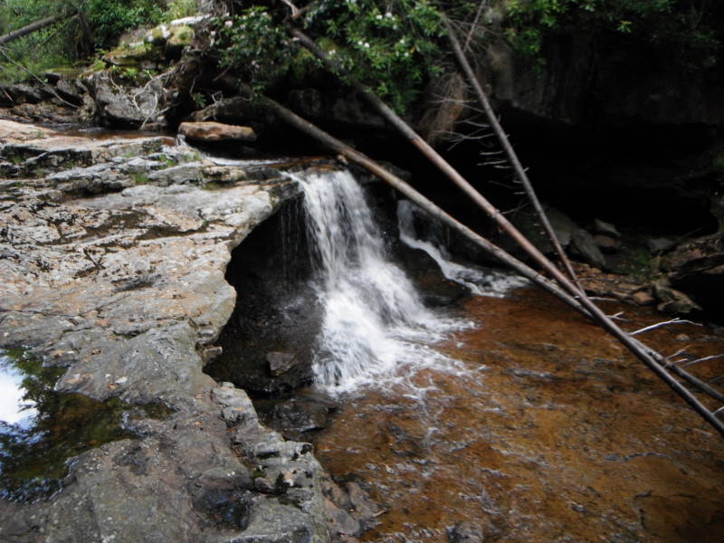
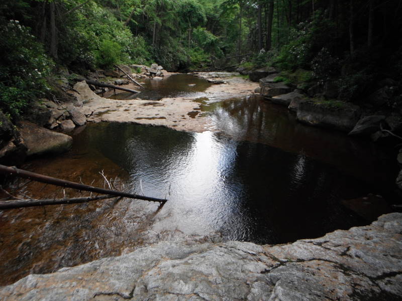
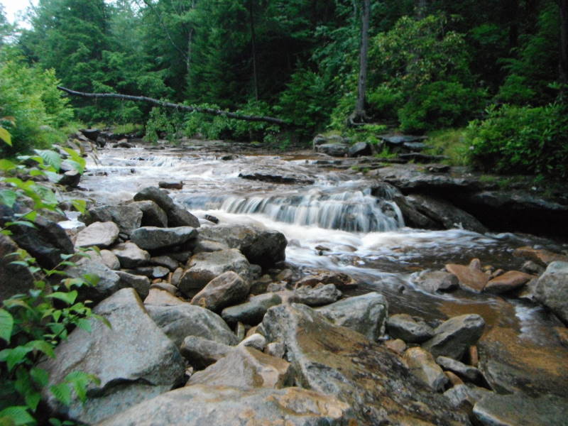
Mile 14.6 – There are numerous campsites at ‘The Forks’ but note that this area is an extremely popular camping area, especially with the college set. Explore many small waterfalls and swimming holes.
Day 3 (Optional)
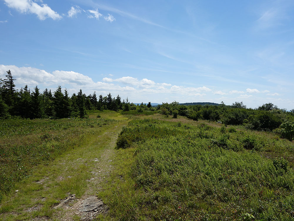
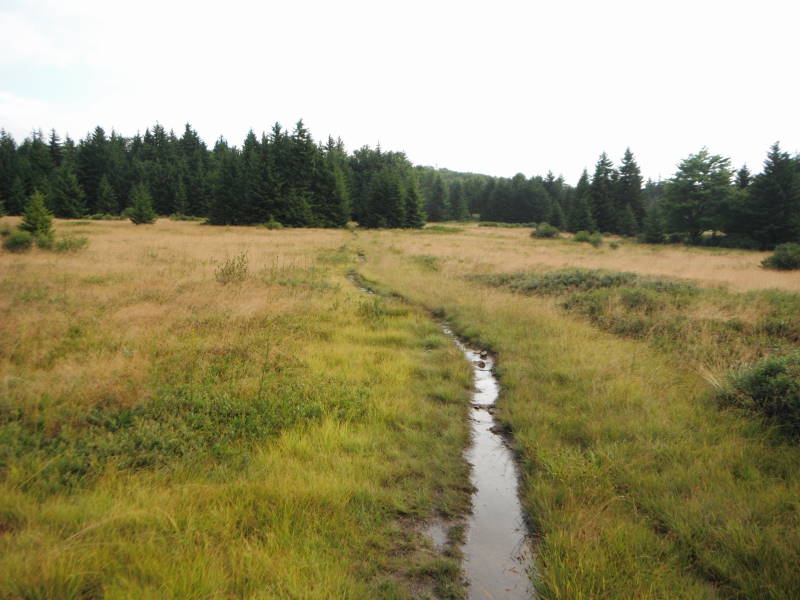
Mile 14.6 – Cross the Left Fork of Red Creek and stay to your left as the Red Creek Trail TR514 passes through a camping area then re-enters the woods on the left. From this point the Red Creek Trail TR514 becomes steeper until it enters the first of two large meadows. After passing through the second meadow the trail re-enters the woods and ends at the intersection of the Blackbird Knob Trail TR511.
Mile 15.5 – Turn right on the Blackbird Knob Trail TR511 passing through several boggy sections, then enter a small meadow and arrive at the intersection of the Upper Red Creek Trail TR509.
Mile 15.9 – Turn left on the Upper Red Creek Trail TR509 passing through several large meadows and gently climb towards the north. The trail will cross another tributary of Red Creek then end at the intersection of the Dobbin Grade Trail TR526.
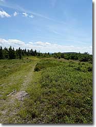
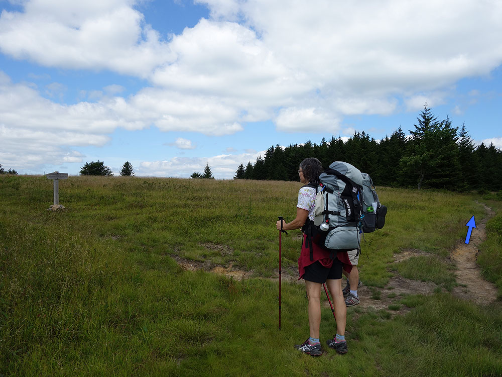
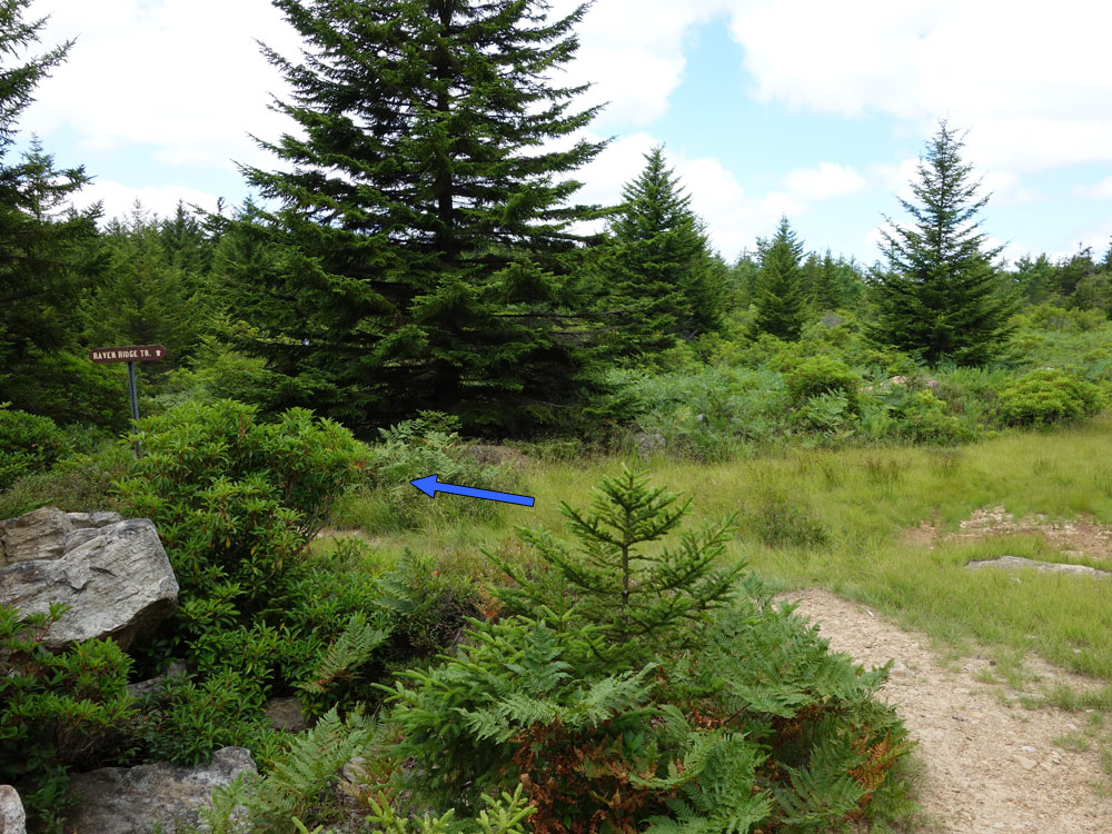
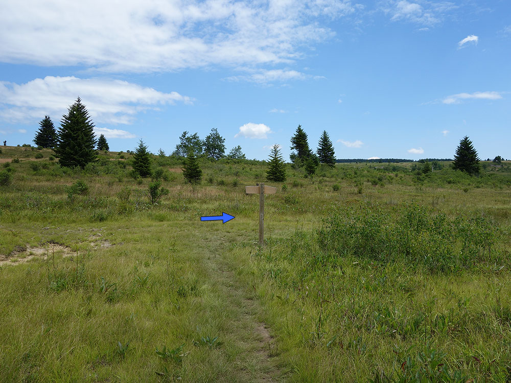
Mile 17.3 – Turn left uphill on the Raven Ridge Trail TR521. WARNING: People look at the map and notice that following the Dobbin Grade Trail back to the Bear Rocks Trail is a shorter route. Don’t do it! The Dobbin Grade Trail is a boggy mess anytime of the year, and offers little scenery. Taking the Raven Ridge Trail TR521 has much nicer views and is completely dry. So, after turning left uphill onto he Raven Ridge Trail TR521 pass through several nice meadows and wooded areas for 1.5 miles back to the intersection with the Bear Rocks Trail TR522 terminus you passed earlier in the hike.
Mile 18.8 – Turn right on the Bear Rocks Trail TR522 retracing your earlier steps through the meadows, crossing Red Creek, passing the Dobbin Grade Trail terminus, and climbing back to the parking area.
Mile 21.1 – Arrive back at the Bear Rocks Trailhead and parking area.
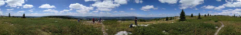
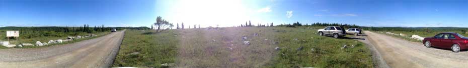
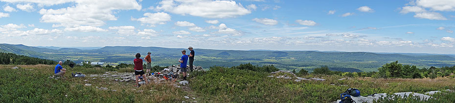
360° Panoramas
Panoramas
Late July
Canaan Valley
Dolly Sods/Lions Head Hike Comments
Archived Comments
By:Sean
Rating:
Date of Hike: Saturday, August 3, 2019
Haven't done the hike but was wondering if its possible for a fit, fast hiker to do it in a day (albeit a long one). Thanks in advance for the advice!
By:Chris
Rating:
Date of Hike: Tuesday, July 10, 2018
A beautiful and pristine wilderness! I visited when summer was in full swing, which is the best time to go if you wish to taste the wild huckleberries which are found all over the place.
I can confirm that black bears call this place their home! Ensure that you hang your food/keep it in an NPS approved bear canister if camping overnight or for multiple days. And, do not forget the black bears are easily scared away by making a commotion (unlike grizzlies).
Practice Leave No Trace principles, and please do not cut down living trees for firewood. Better yet, pack in a camping stove for your meals (a great backup should you not find sufficient dead firewood).
Cheers,
Chris
By:Schnitzel
Rating:
Date of Hike: Monday, July 9, 2018
When reviewers or websites offer a hike as being a "must see" or "best of the area"... I wonder.
This trail deserves the accolades.
With variation of both scenery, elevation, and foliage with a mix of different challenges, this one is a must for anyone within a few hours of the trailhead.
I hiked this for three days with my father. We left on a Monday aware that there might be crowds which seemed the case as the lot had cars parked in various spots along the road hinting that this is a popular trailhead on the weekend. Animal report: Lots of deer, no bear (although a couple of hikers said they heard one in the middle of the night) and just a little snake. No real mosquitos which concerned me as we slept under a tarp only and with all the mention of bogs.
Worth noting: 1) Bring plenty of water, especially the first day as there is really no source except at the beginning and towards the end of day one. There a great place to stop at the view of Canaan with a rock wall created as a windbreak for those interested in either a out and back or stopping early - not much more room than for one tent. And there are indeed portions where there are rock outcroppings that one MUST look for the cairns to stay on trail -- many thanks to those that did that work. We didn't have too much trouble but I think we got off trail and ended up using a game trail that found its way back to the main trail. We camped (night one) in the sites on the left around mile 8 which, as seems to often be the case, the campsites just a mile or so further are much better and open -- creek runs through / near those sites we chose but the sites at 9 plus miles are much better. 2) The hike toward the top of Lion's Head is a real scramble. I recommend leaving your pack after you turn up at the pyramid cairn (on the left at the start of the spur). It certainly is beautiful at the top, but you'll work for it -- both in climbing and descending as well as finding the trail to get back down. NOTE: quite a rocky trail portion from the cairn for a couple of miles that had one grumbling about possible turned ankles. 3) Second night next to the creek offers a good deal of sites -- disappointing though that often campers forget to / don't think about bury their own crap from the many TP remains found at trails that spurred off from the creek. Otherwise no real trash to speak of at what looks to be a very popular spot. 4) The hike up from the creek and out saw plenty of ripe blueberries, but no hints of bear, 5) be aware of the bogs and their effect on keeping your shoes wet (even in the midst of the summer in which we saw no rain) -- we took the recommendation to not take the short cut back to the trailhead through what looked from a distance like a low lying beaver dam area. BTW another great camping spot around Mile 17 before getting to the creek that runs through an open meadow.
A great hike. Great scenery. Wonderful to hike across open balds -- a rarity in this part of the country. While cooler here than in RIC, definitely should have brought and drank a great deal more water (especially important on day one). Highly recommend this trail -- in fact any of the Monongahela trails have been spectacular that I have been hiked.
By:Doug Colafella
Rating:
Date of Hike: Wednesday, June 20, 2018
The previous reviews are excellent, but thought I'd share some additional thoughts that might be helpful. This loop is sheer awesomeness the scenery constantly changes and the terrain is incredibly unique for the East Coast.
A couple thoughts on getting there: if you're coming from the West (Pittsburgh, Morgantown, etc), using the northern entrance to FR75 off Jordan Run Rd. is a grind. To begin with, navigating the mountain switchbacks on Rt. 37 in the vicinity of Mt. Storm puts you at turtle speed, followed by a very steep rugged climb up FR 75 to Bear Rocks trailhead. On the way home, we exited the Sods by heading south on FR 75 to Laneville Rd. From there it's a easy trek on Rt. 32N into Canaan Valley and back to Rt. 219N.
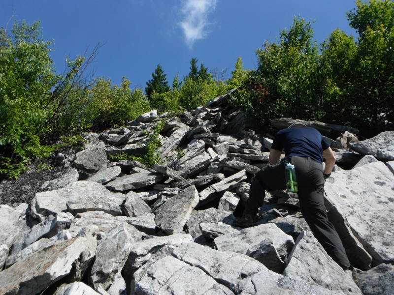
We didn't have too many problems navigating the trail. The intersections are very well-marked. The most challenging spot was in the boulder fields along the Rocky Ridge Trail (524). There are a few cairns to follow through the boulders, but then they disappear and the trail appears to go into the woods to the left. Don't go this way. Be patient and continue to follow the ridgeline boulders and the trail eventually reappears and becomes obvious.
We camped at the preferred campsite at mile 9.4 along Stonecoal Creek and it's spectacular. Note that it's about 100 yards off the trail on the opposite side of the creek, so you'll have to go back to the original creek crossing again in the morning to continue south on Big Stonecoal Trail (513) through an incredibly pretty section of trail through hemlocks and rhododendron lining the creek.
We were stoked to find Lion's Head and had a great lunch up there on the rocks. Keep an eye out for a spur trail off of the Rocky Point Trail (554) that could be easily missed look for a little opening in the rhododendron on your left with a short rock scramble through the woods. At the top the trail hooks right and you'll pass through a pine forest and a couple of cool campsites before the trail leads to open boulders and massive views of Red Creek Canyon. You are actually standing right on top of Lions Head, so if you walk about 60 yards to the right you can look back where you were standing for a clear view of Lion's Head. To get back to Rocky Point trail, follow the boulders to your right and look for a series of cairns leading you through a very tight (but cool!) rocky descent through very thick rhododendron back to the trail. Hang a left when you hit the main trail again and continue north on Rocky Point Trail. NOTE: if you miss the first entrance to the spur trail, you may wind up on the trail we descended from Lion's Head. That's OK, you'll just take the same trail up and down from the summit.
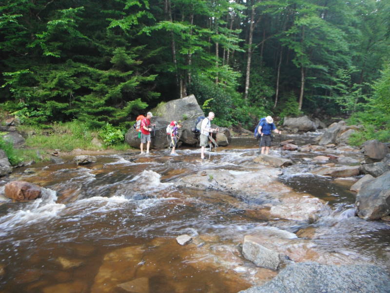
We also scored the deluxe campsite at the Forks of Red Creek. Clearly, hiking mid-week has its advantages! Taking a dip in the creek is glorious after summiting Lion's Head and completing the punishing trek on Rocky Point Trail. Bring river sandals - they come in handy for swimming and getting out of your hiking boots at camp. A word of caution at Red Creek Forks - if there's a risk of heavy rain overnight, consider camping on the opposite side of the river so you can avoid a potentially treacherous river crossing in the morning. It rained hard nonstop overnight and the creek was a raging torrent when we woke up, forcing us to ford the river in our hiking boots and hike the remaining six miles to the car in wet boots. Also, when you cross the creek, stay to the left and look for the trail. The trail to the right only goes to campsites.
I can't wait to go back. The mountain laurel was in full bloom, though mid-June is too early for blueberries. We didn't see any bears, but lots of deer and a very curious snowshoe hare who greeted us at camp on day 1 and hung out at the edge of our campsite all evening. Lots of small harmless snakes spotted on the trail in the bear rocks area, including a cool bright green species I'm not familiar with.
Shoot me a note if you have any questions.
By:Nikki Stavile
Rating:
Date of Hike: Sunday, May 27, 2018
We did the three day option for the Dolly Sods/Lion's Head hike and it is clear why this loop is so popular (we saw about twenty or so people a day, and there were probably about fifty people camping at the Forks when we settled down for day at around 2 p.m. 90% of the backpackers that we came across were doing this loop). The hike, while muddy and rocky at points, is overall an easy backpacking loop with big payoffs. The Lion's Head trail is easy to find and has great views, and the Forks is a beautiful place to relax and swim. The Meadows with the granite boulders were also very beautiful and made the first longer day worth it.
However, there were a few things that made this hike somewhat difficult.
Directions that were hard to follow:
- Mile 3.8 on day one refers to a windswept boulder field that is tricky to navigate. We came to the view of Canaan valley and saw four or five cairns leading up to the boulder field. However, there were no cairns that we could see after that distance. We ended up taking another well worn trail into the woods and around the boulders, which it was clear that many hikers took despite the three cairns marking the top of the ridge. Unfortunately, the unofficial trail that we came across dead ended in a loop and a lot of bushwacking - if you come here, you need to head to the right, where the trail is eventually marked and then intersects with the official trail. New cairns need to be made for the boulder fields - we were sorry that we missed this part of the hike, but there were eight other hikers who also got lost and we all had to work our way out of the woods together.
- Mile 13.2 on day two says to "continue straight". You can't continue straight - the trail gives a right or left option. To head to the Forks, you need to go LEFT up the hill. If you go right down the hill you will come to several nice campsites next to the river, which makes for a nice lunch spot after summitting the Lion's Head, but it is the wrong way.
Unfortunately, the worst thing about Dolly Sods is the huge amounts of people. The Forks may have been "popular with the college set" back in the day, but the only people we saw were families and huge groups of men in their forties trashing the campsites (you can't burn beer cans guys). We also had a very uncomfortable encounter with three day hikers, all men, two of whom were openly carrying hand guns - one guy, who was rude to us, had his gun strapped across his chest and the other man had it on his hip with several magazines. There is no reason to carry a gun in a wilderness like this, and with such a prominent display of ammunition, it was an offputting experience, especially as the two of us were women hiking together.
Dolly Sods is a beautiful place, but I would suggest doing the loop in reverse to avoid the crowds, and setting off early everyday to get a good campsite.
By:Jonathan
Rating:
Date of Hike: Monday, May 7, 2018
Unique area, fantastic scenery, amazing hiking. The only reason I knocked one star off is that I found it to be more difficult than rated. The main challenges for me were the amount of water in the area and staying on the trails.
Be prepared for multiple stream crossings, these are not lightweight. Bring sandles or river shoes specifically for crossing the streams. Be prepared for rapid weather changes, cool nights Suggest hiking in gaiters, there is a lot of mud and water on the trails. Might have been less wet if I had gone later in the season, I don't know.
Regarding following the trails I did have some problems as others describe in their posts. I had to back track a number of times and I was always able to get back on track but vigilance was required. I had to resort to All Trails a few times to find my position relative to the path (my last resort). All Trails saved my butt and got me back. Sometimes I was maybe just 50 feet off. Definitely need to pay close attention and be prepared for extra time backtracking.
By:Rob Cain
Rating:
Date of Hike: Friday, April 20, 2018
This is a spectacular hike, and worth a visit. Being early spring, our first night dropped into the low 20's at Big Stonecoal Campsite. There were a couple of occasions we lost the scent of the trail, but overall, trail intersections are well marked. Plenty of water sources, so don't pack heavy on the water. There are some places along the full loop where the trail becomes predominantly cobbles, so be prepared. The most lush and green parts of the trail were along the western edge, over by Big Stonecoal. Take plenty of pictures - you'll be surprise how beautiful they all turn out.
By:David
Rating:
Date of Hike: Saturday, April 14, 2018
I highly recommend this trail if you want to see a beautiful variety of scenery and don't mind that the trail is not always well marked. It is challenging - mostly for the length rather than the terrain. While there are some significant ascents and descents, they are short and most of the trail is relatively flat.
We did this as a 2-day hike, leaving Saturday morning and getting back around noon Sunday. We hiked nearly all day Saturday, arriving at The Forks and setting up camp under fading sunlight.
This trail is not always well marked and we found the directions to be confusing at some points. Take particular caution at the first crossing of Red Creek (mile 1) and around the rock scramble to Lion's Head (around mile 11). The rock scramble up to Lion's head is more of a spur trail so after you explore Lion's Head, you need to descend back down to Rocky Point trail.
Given the unusually cold spring season so far, most of the trees were still without leaves. We're looking forward to returning in the summer or fall!
By:Kilian
Rating:
Date of Hike: Thursday, April 5, 2018
Great hike, very unique. The Forks is one of the nicest campsites I've stayed at in WV and the views on the entire Rocky Ridge are pretty awesome. It was cold, windy, and snowy the first day but when the sun came out the meadows heated up quick. There's a few places where the path is tricky but with a few minutes of searching it's mostly easy to find.
By:Zachariah James
Rating:
Date of Hike: Sunday, January 28, 2018
Forest Road 75 is closed 4 miles before the start of hike. The conditions were wet and boggy, but we didn't see another person from start to finish, so if solitude and a challenge is what you seek, do this hike in the off season. The route finding in a few places is tricky, especially early on 524. There is a spectacular view from the southern peak. I highly recommend, but be ready for rugged conditions.


