
|
| Length |
Difficulty |
Streams |
Views |
Solitude |
Camping |
| 13.0 mls |
 |
 |
|
 |
|
Hiking
Time:
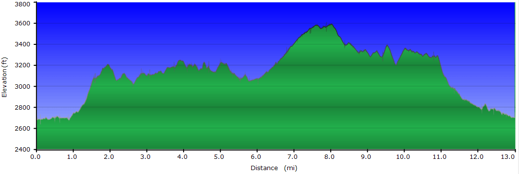
Elev. Gain:
Resources: |
7.5 hours
2,440 ft
 Topo Hike Trails Map (PDF) Topo Hike Trails Map (PDF)
Neola WV Weather Forecast
Garmin (GDB), Gaia/Trails App (GPX) (What's
this?)
3D View of Route |
 By Trail Contributor: Jeff Monroe (Email Jeff) By Trail Contributor: Jeff Monroe (Email Jeff)
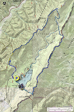
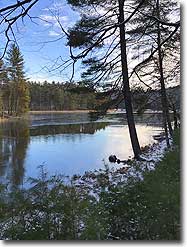
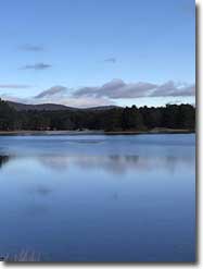
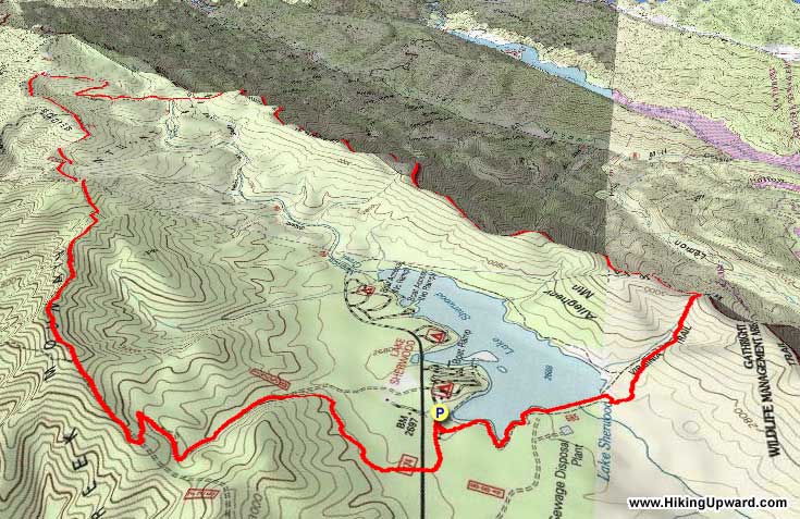
Lake Sherwood is a beautiful and popular recreation area located on the southern end of the Monongahela National Forest. This hike includes portions of two long distance trails as it ascends and follows Allegheny Mountain, then uses abandoned woods roads to traverse the national forest in looping back to the original trailhead. This loop makes a nice day hike if you are camping at the Lake Sherwood Recreation Area, with a shorter version also available.
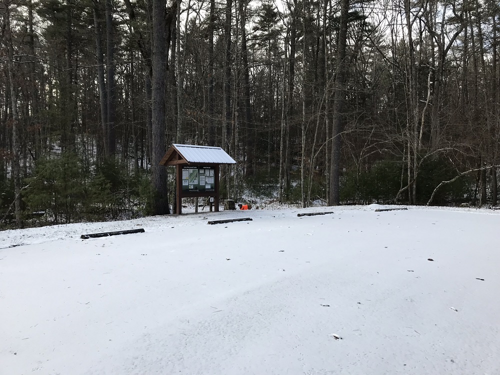
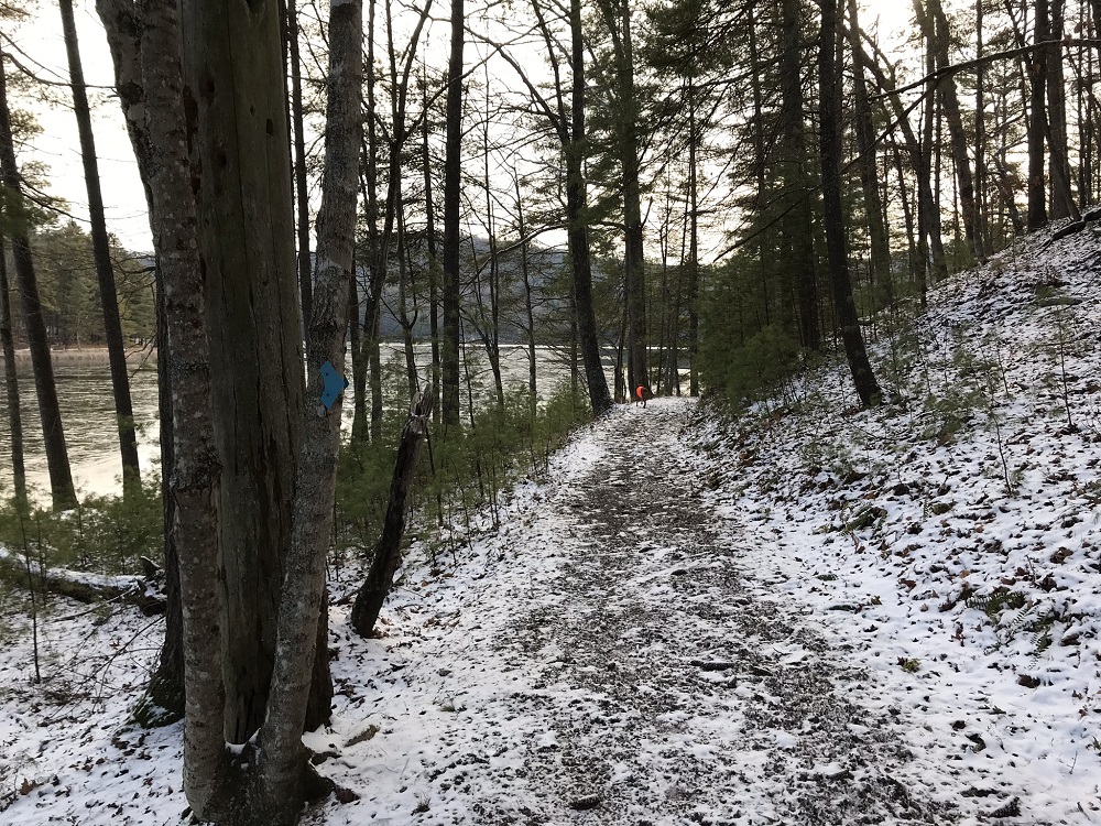
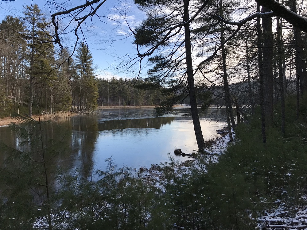
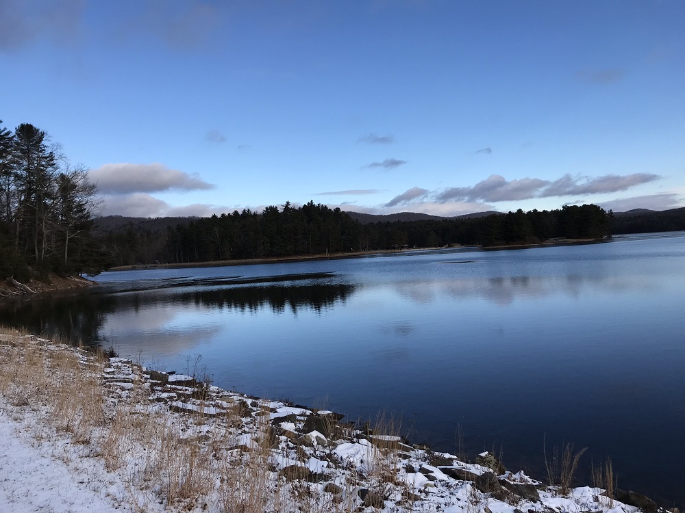
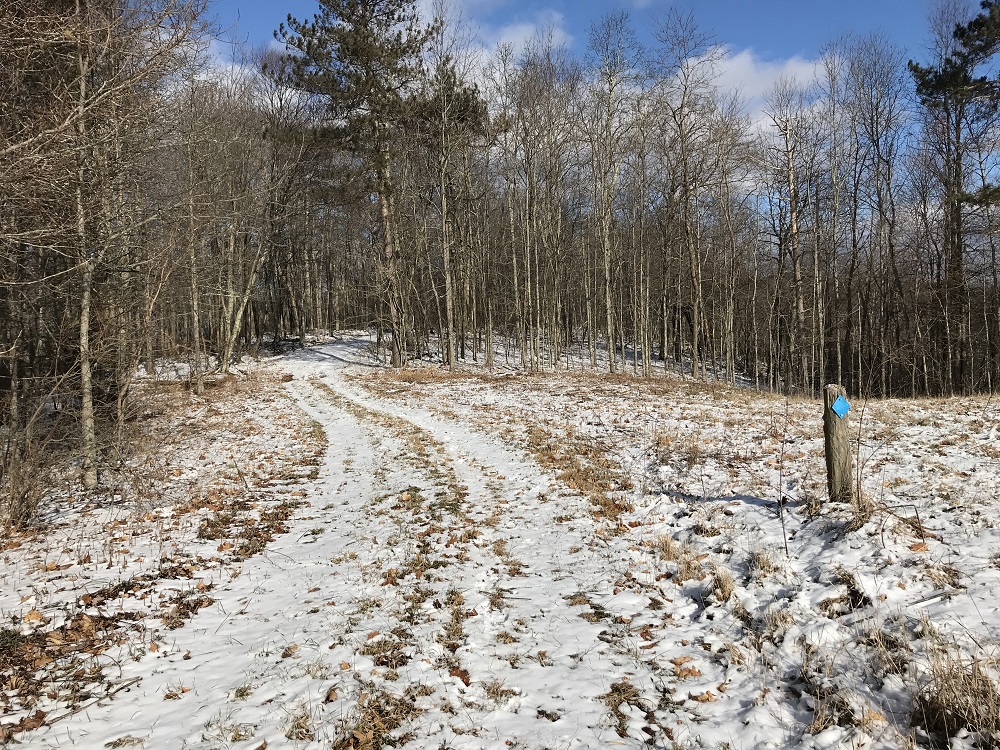
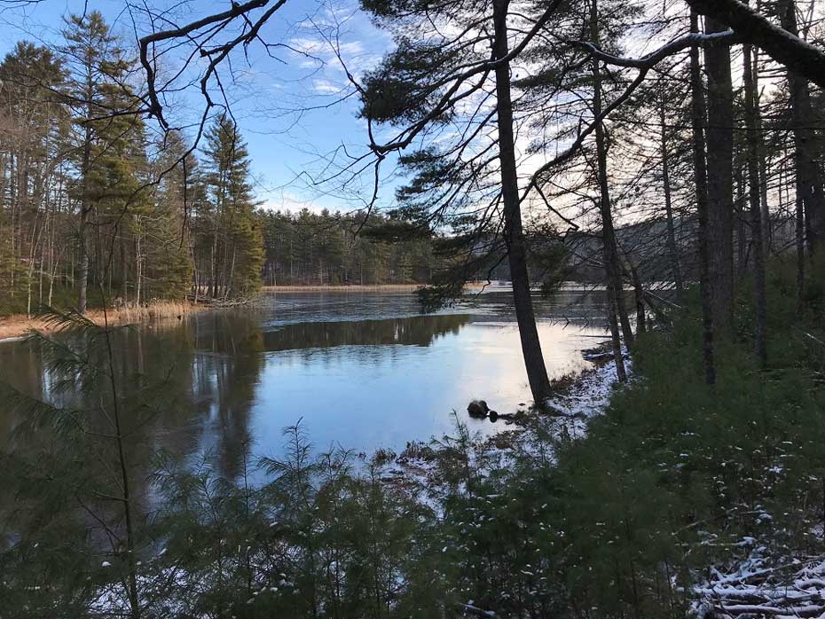
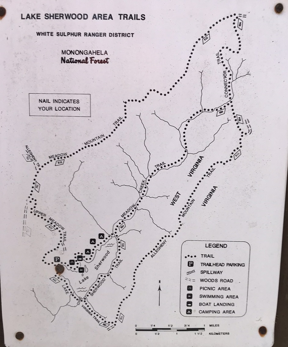
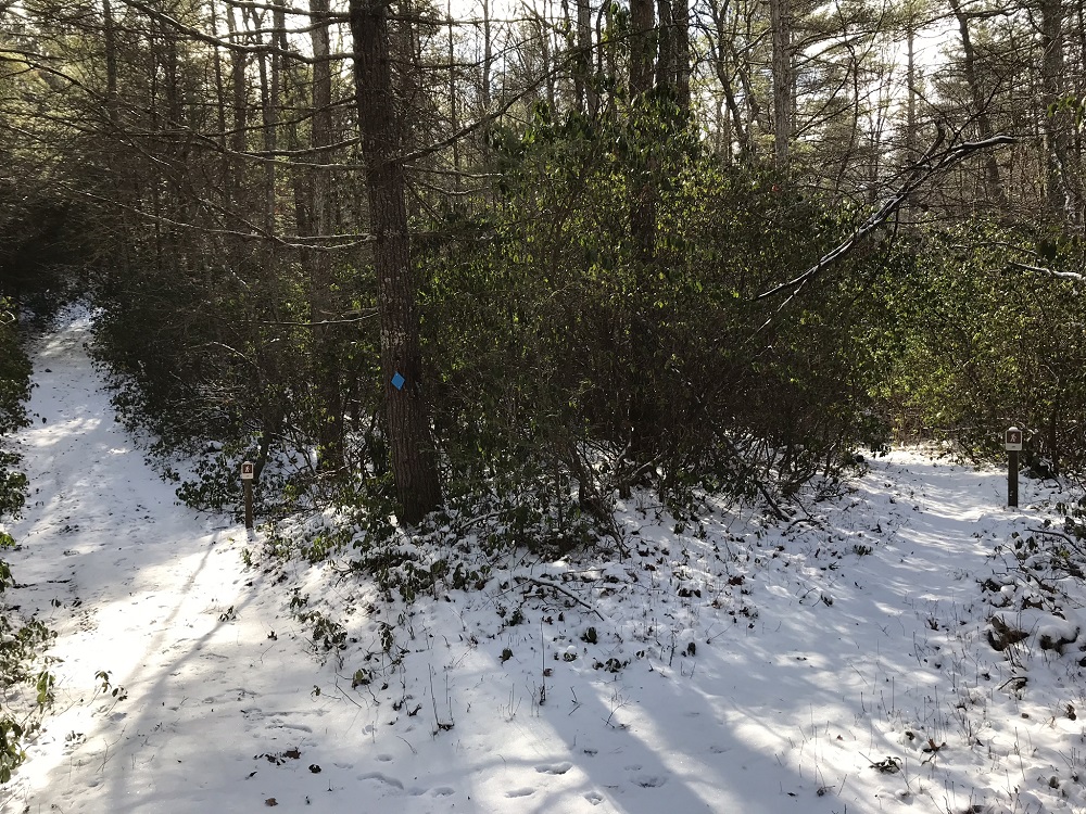
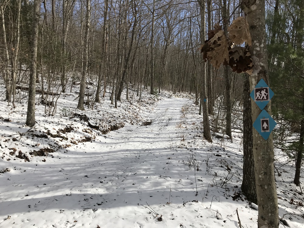
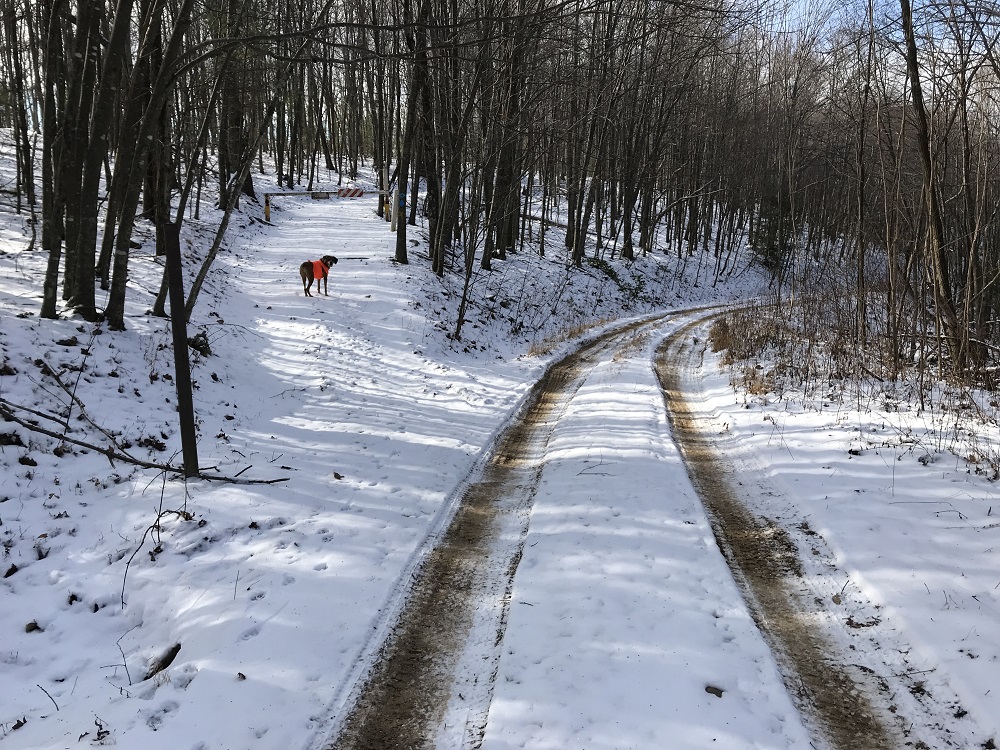
- Mile 0.0 – Parking is in the day use area of the Monongahela National Forest’s Lake Sherwood Recreation Area. Between Memorial Day weekend and Labor Day, the USFS charges a fee to park here, but summer hikers can also swim and camp at this location. The trail starts just behind the information kiosk at one end of the parking loop, marked by a sign indicating its designation as Trail Number 601. At the end of the hike, you will return to the other end of the same parking loop. The entire loop is well marked with blue plastic diamonds, and there are even metal maps at many of the intersections (though some have been stolen). The initial portion of this hike also follows the route of the Great Eastern Trail, a long distance trail under development that runs from New York to Alabama. After crossing a small bridge, stay to the right when another trail from the parking area comes in from the left. The trail follows the shoreline of Lake Sherwood providing many views across the lake to the swimming area.
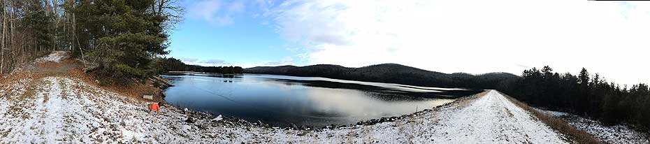
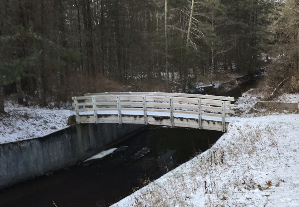
- Mile 0.6 – The trail crosses the dam that creates Lake Sherwood, providing wonderful views of the lake and surrounding mountains. After the dam, head right and cross the curved bridge spanning Meadow Creek.
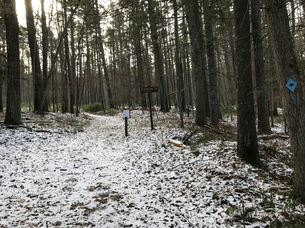
- Mile 0.9 – After entering into a pine forest this hike reaches an intersection. Leave the Lake Sherwood Trail and continue straight ahead on the Virginia Trail (#625). After crossing a couple of stream beds, the trail begins climbing, seeking the ridge top of Allegheny Mountain.
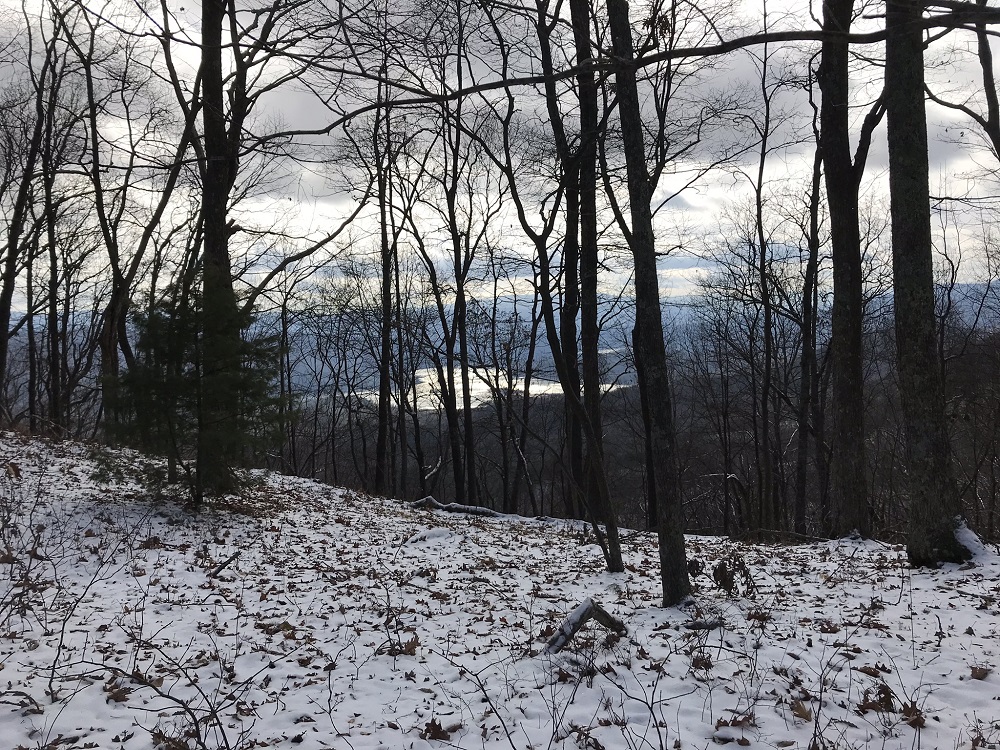
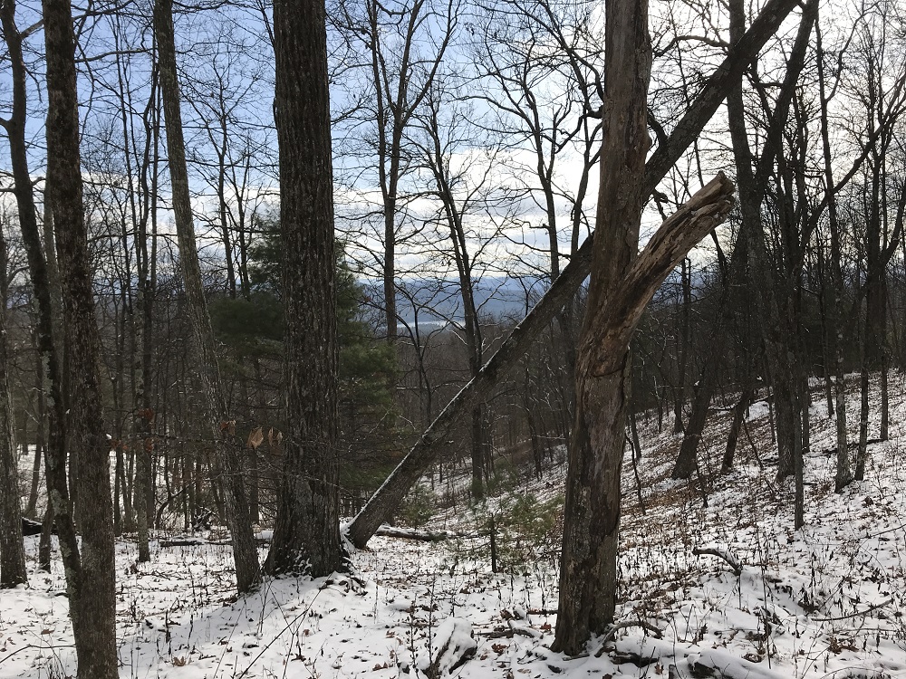
- Mile 1.5 – The Virginia Trail ends when it reaches the Allegheny Mountain Trail (#611) at the top of the ridge. The Allegheny Mountain Trail here is not to be confused with the Allegheny Trail, which this loop touches later in the route. Turn left here, and follow the Allegheny Mountain Trail north along the West Virginia/Virginia border. There are multiple winter views east of Lake Moomaw in the George Washington National Forest.
- Mile 2.3 – The Allegheny Mountain Trail has been following an old woods road, which splits right off of the trail here and heads down the eastern slope of Allegheny Mountain. Continue straight on the trail.
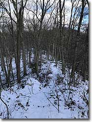
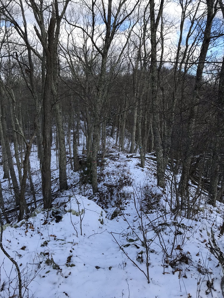
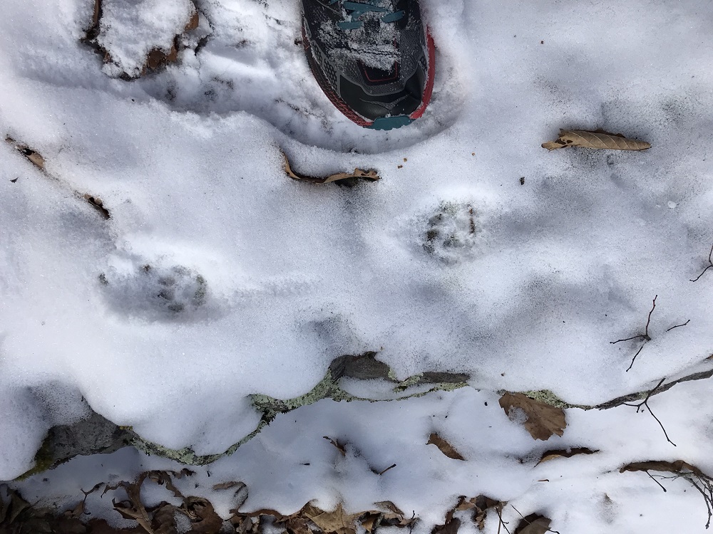
- Mile 5.3 – The Allegheny Mountain Trail generally follows the ridge of Allegheny Mountain, sometimes moving off the ridge and occasionally climbing steeply to regain the ridgetop. This ridgetop is the most remote portion of this loop, with a wide variety of winter animal tracks crossing the trail, including bobcat. At 5.3 miles, the Allegheny Trail reaches the Connector Trail. Take a left on the Connector Trail (#604).
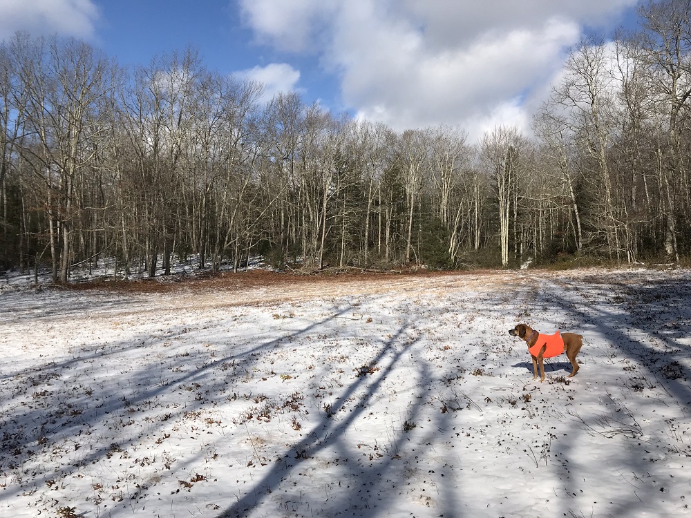
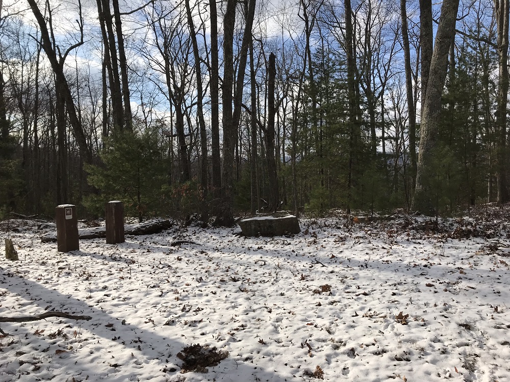
- Mile 5.5 – The Connector Trail, which is more like a woods road than a trail, enters the first of multiple wildlife clearings. These clearings provide excellent potential campsites, though no fire rings were observed - leave no trace! Stay to the right through the field, looking for an opening and a blue trail blaze at the other end of the field.
- Mile 5.8 – The Connector Trail intersects with the end of the Meadow Creek Trail (#684). The Meadow Creek Trail provides a quicker return to Lake Sherwood and the starting trailhead than the route described here. Continue straight.
- Mile 6.0 – Cross Meadow Creek. The Connector Trail uses an old woods road and is well marked with blue diamonds.
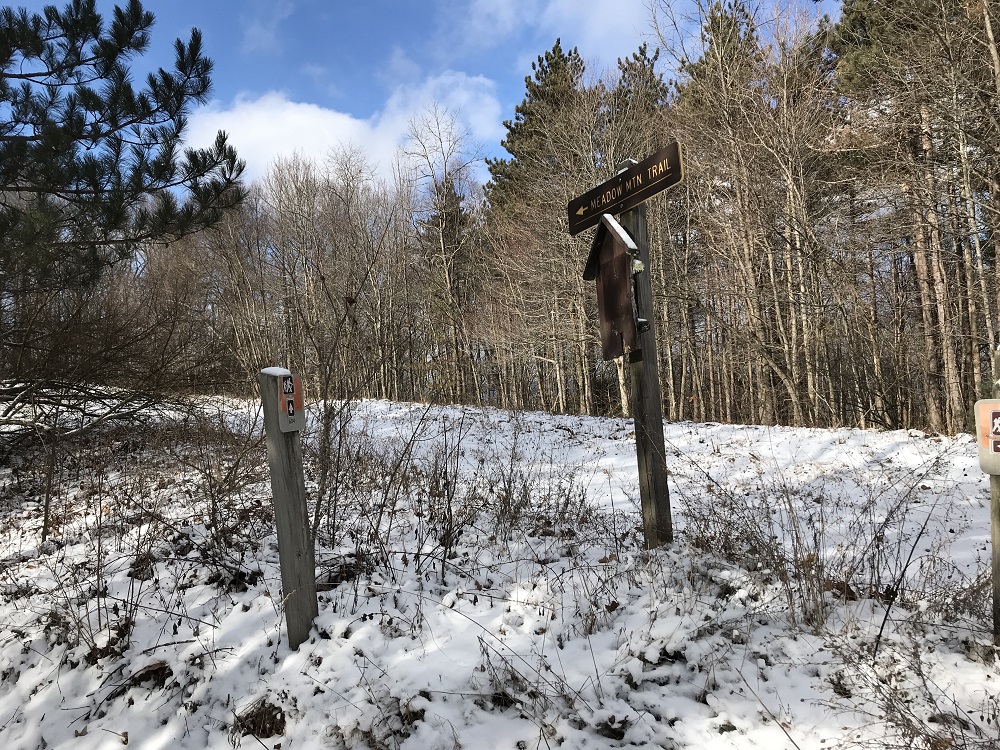
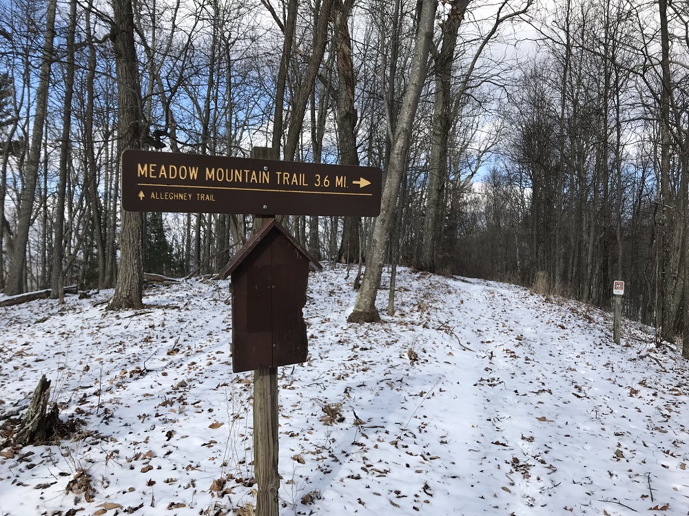
- Mile 7.3 – The Connector Trail ends at a sign for the Meadow Mountain Trail (#610). Turn left here on another closed woods road, passing additional wildlife clearings. Shortly after the 8 mile mark the loop reaches its highest point, with occasional eastern winter views that include the Homestead Ski Area in Virginia.
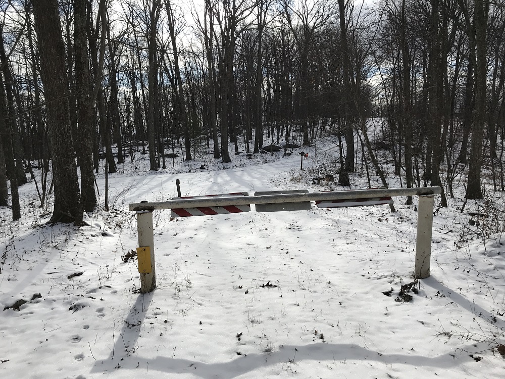
- Mile 8.4 – The Meadow Mountain Trail passes a gate and continues on a portion of woods road that is open to vehicles for at least part of the year. Continue heading in a southwesterly direction onto this road, following the blue diamonds, and begin a short climb.
- Mile 9.4 – The Meadow Mountain Trail leaves one woods road for another, gated inactive road on the left. Go left. The trail climbs, drops, then climbs again, each for a short distance but somewhat steep. Winter views of Lake Sherwood become visible to the left.
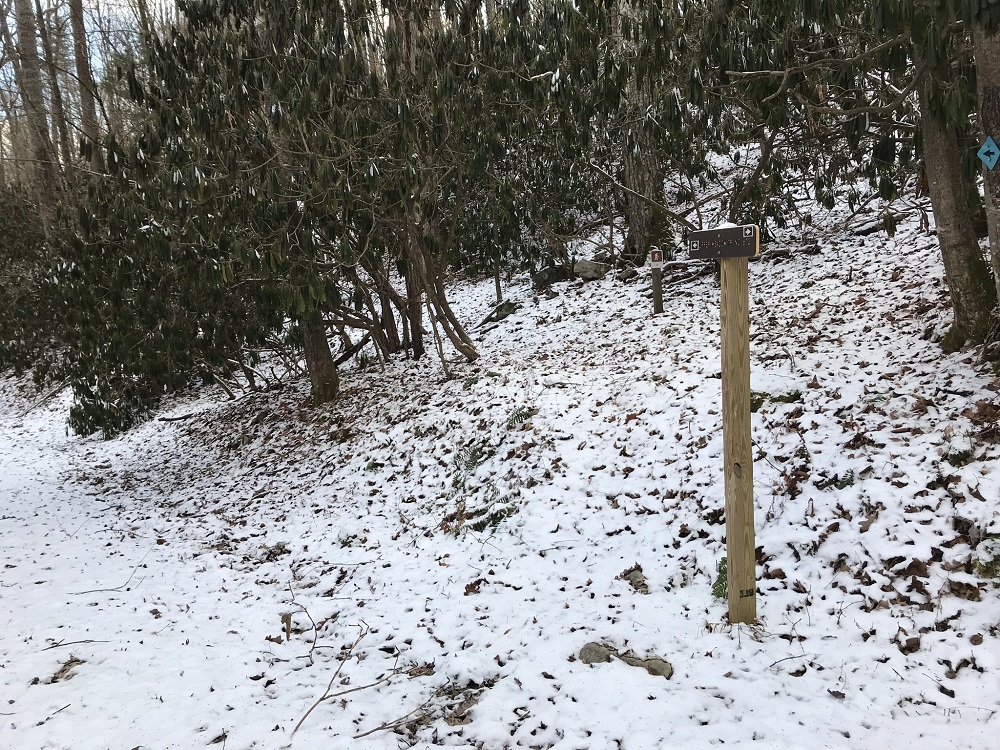
- Mile 10.6 – The Meadow Mountain Trail meets the Allegheny Trail (#701) at a signpost. The Allegheny Trail is a 330-mile hiking trail crossing north-south through West Virginia. Although the trail dates back to 1975, it is still incomplete. The West Virginia Scenic Trails Association maintains this long distance trail. The Allegheny Trail northbound drops off Meadow Mountain to the right. Continue straight, which is also south on the Allegheny Trail.
- Mile 11.4 – The Meadow Mountain Trail ends at an intersection with the Upper Meadow Trail. The Allegheny Trail continues straight ahead through the pylons, but you should take a left down the Upper Meadow Trail (#672), a woods road. The Upper Meadow Trail is also part of the Great Eastern Trail.
- Mile 12.1 – After a couple of switchbacks the Upper Meadow Trail leaves the woods road on the right side, so keep an eye out for the sign as you descend on the road.
- Mile 12.8 – The Upper Meadow Trail crosses the main road to Lake Sherwood and reenters the woods directly on the other side. Watch for traffic on this road.
- Mile 13.0 – The Upper Meadow Trail ends at the trailhead parking lot.
|
