|
| Length |
Difficulty |
Streams |
Views |
Solitude |
Camping |
| 11.3 mls |
 |
 |
 |
|
|
Hiking
Time:
Elev. Gain:
Resources: |
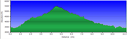
6 hours with 1 hour of breaks
2,480 ft
 Topo Hike Trails Map (PDF) Topo Hike Trails Map (PDF)
Rainbow Springs NC Weather Forecast
Garmin (GDB), Gaia/Trails App (GPX) (What's
this?)
3D
View of Route |
 By Trail Contributor: Zach Robbins (Contact Zach) By Trail Contributor: Zach Robbins (Contact Zach)
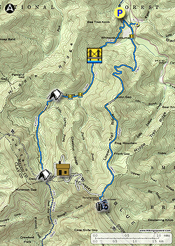
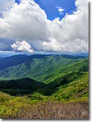
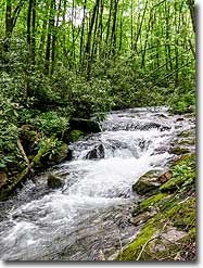
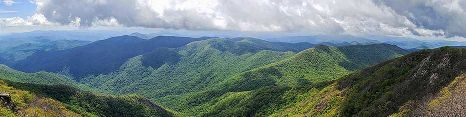
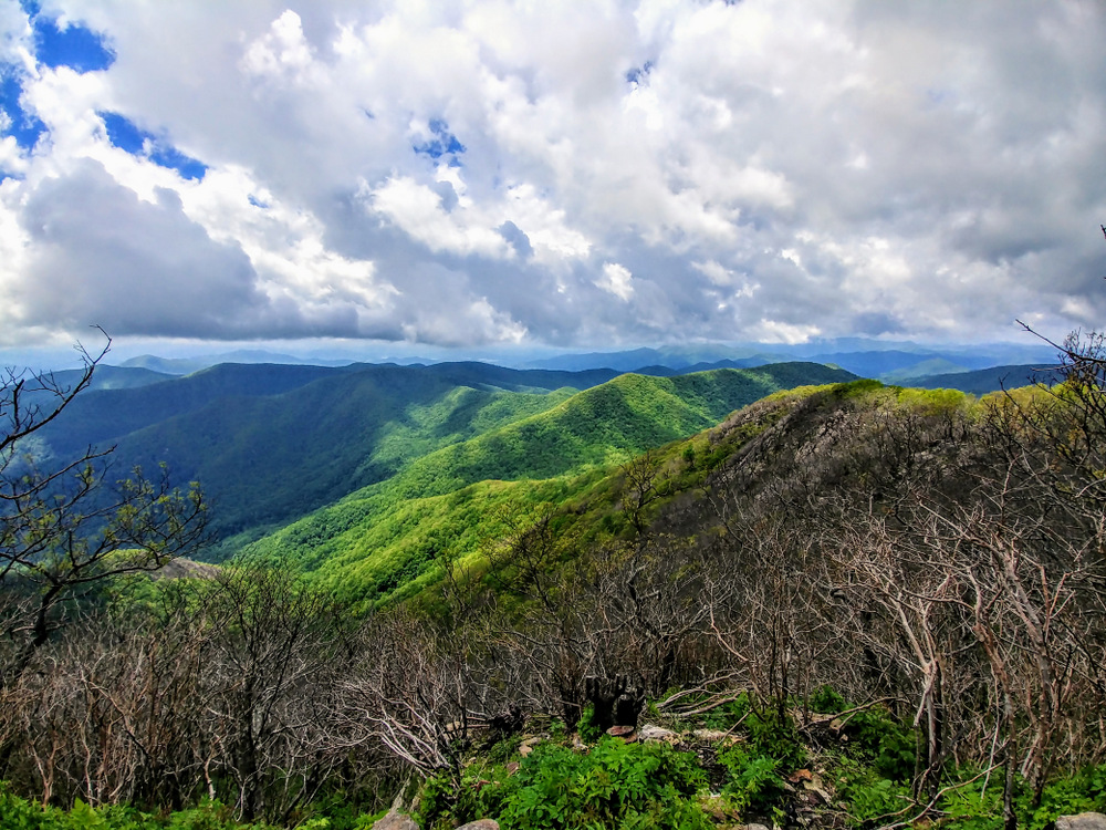
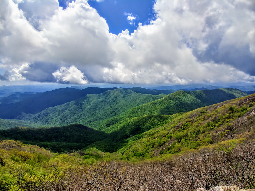
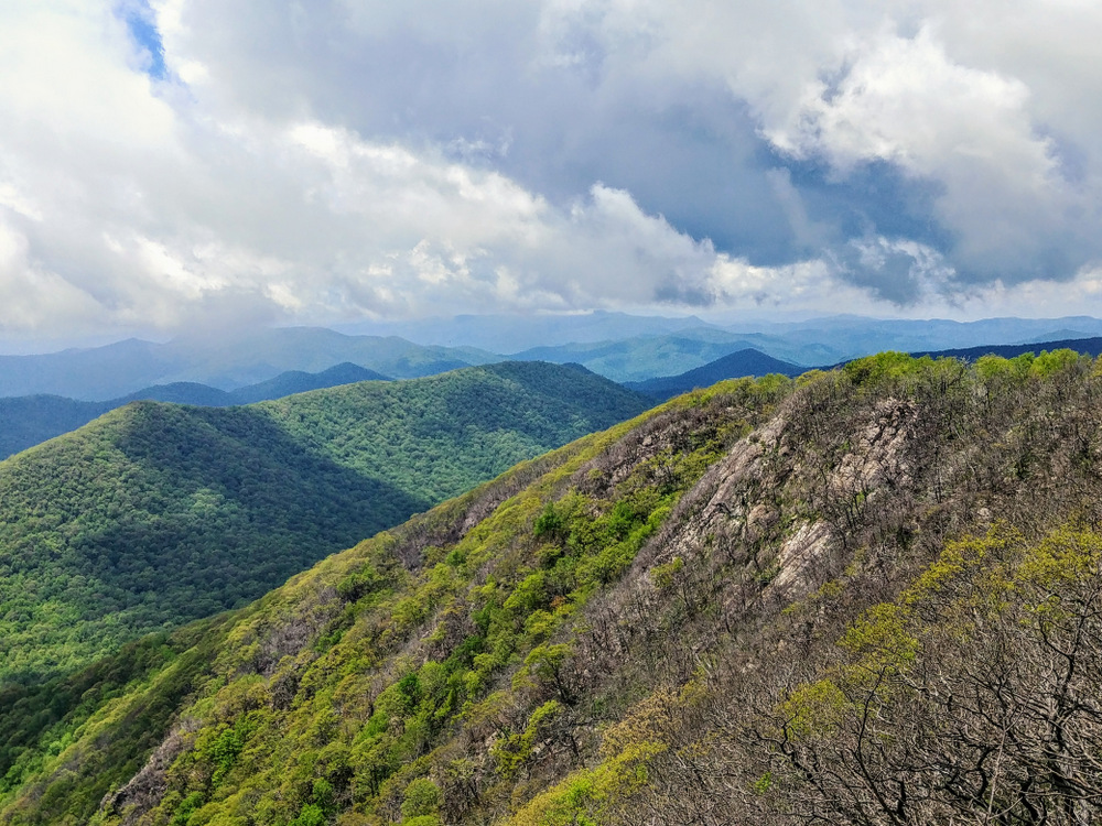
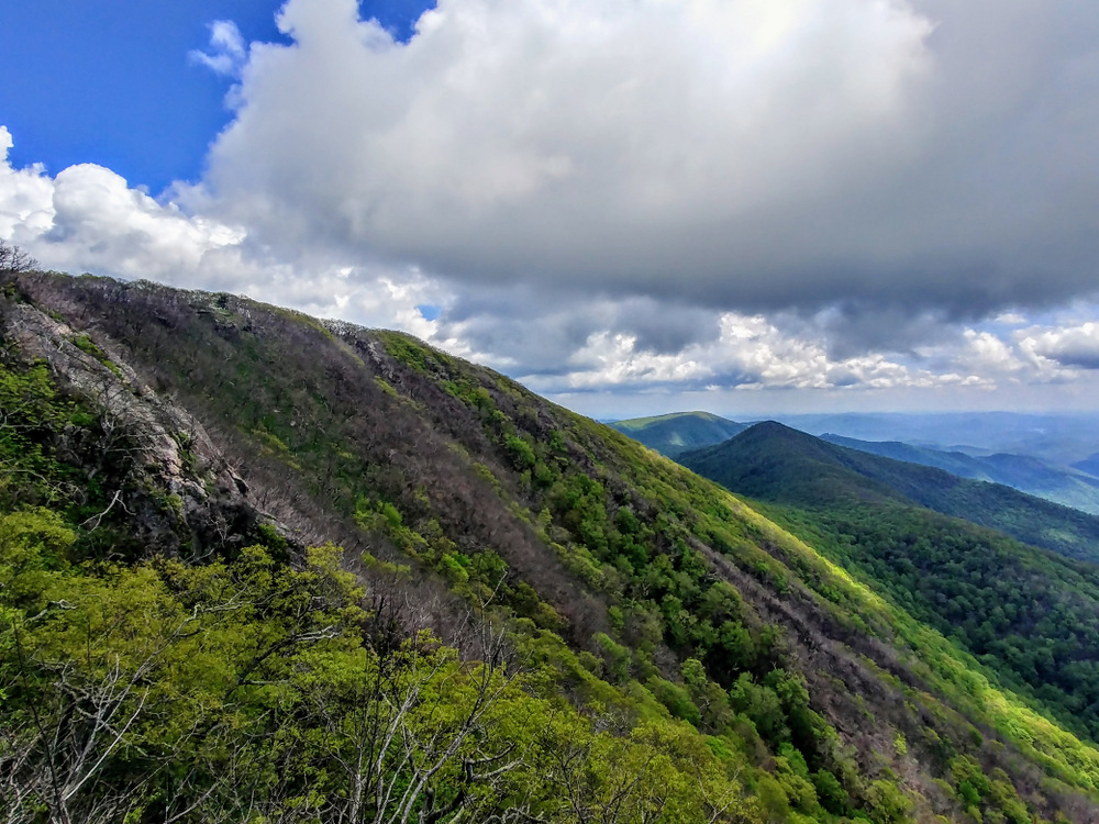
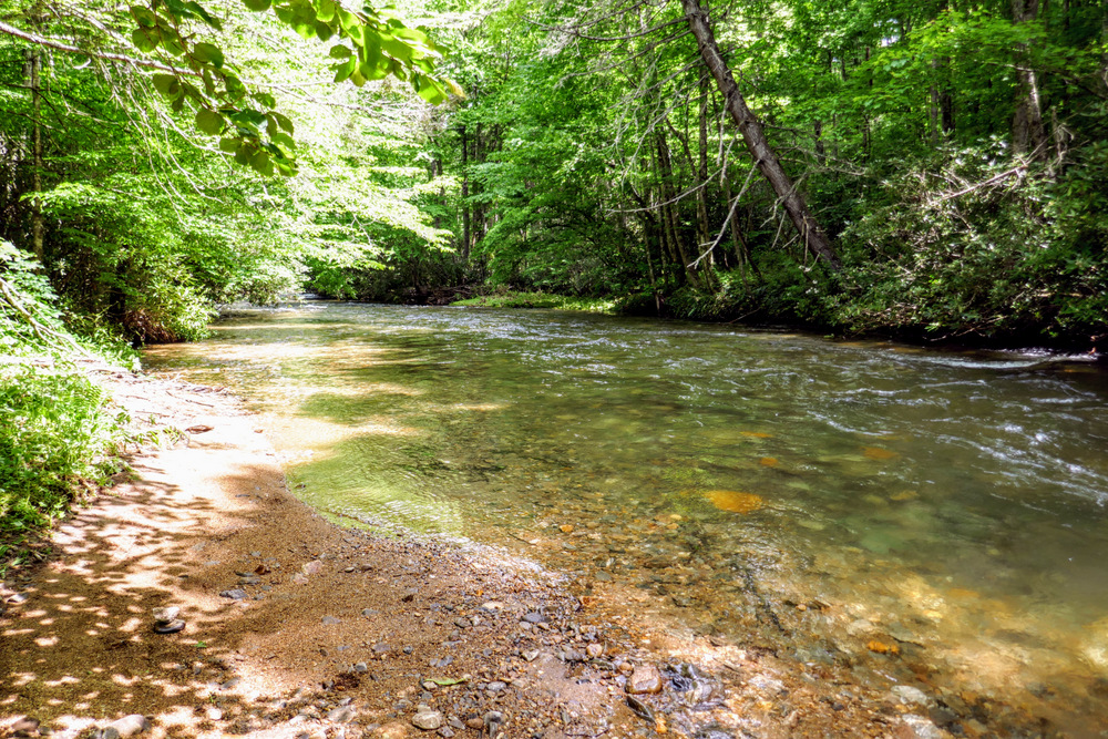
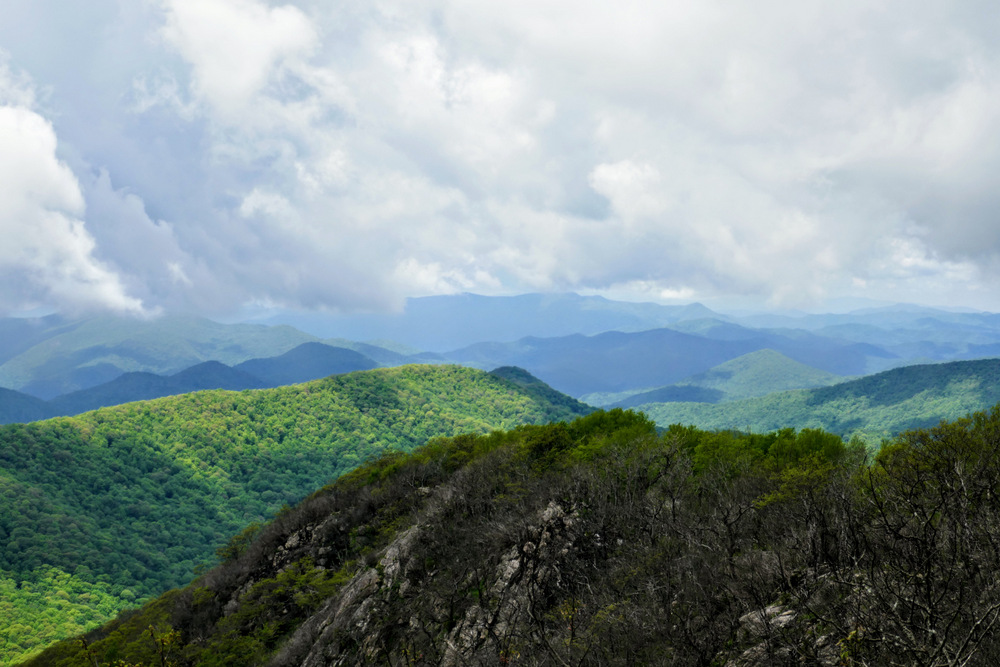
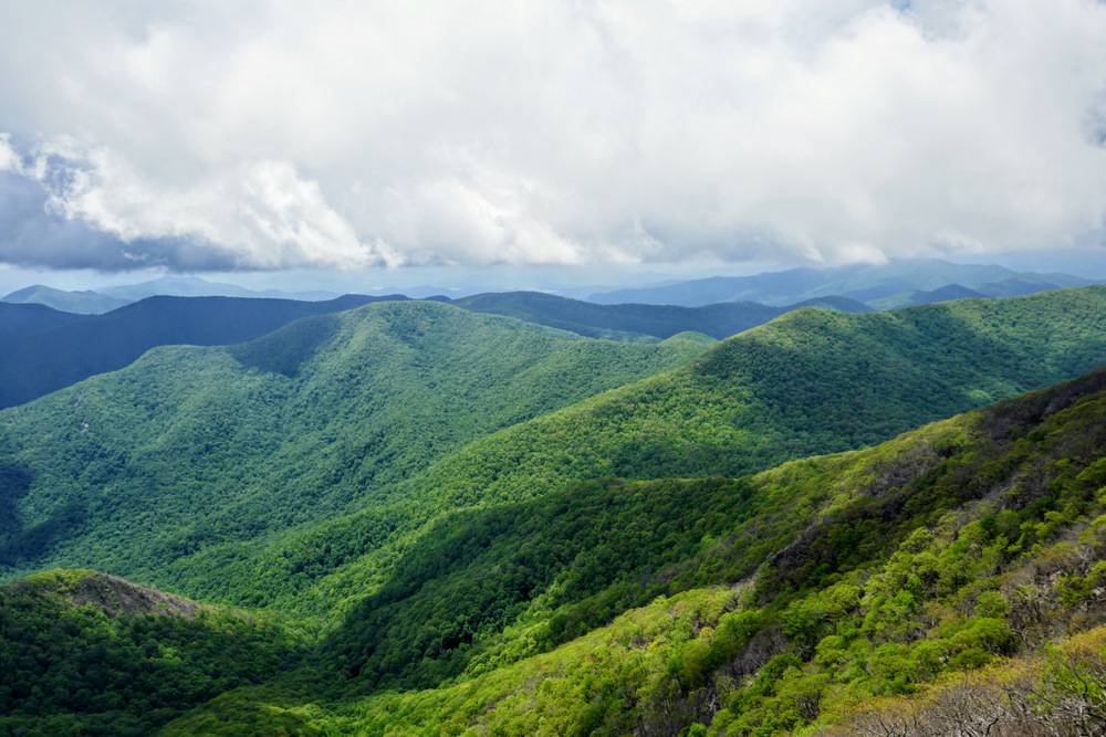
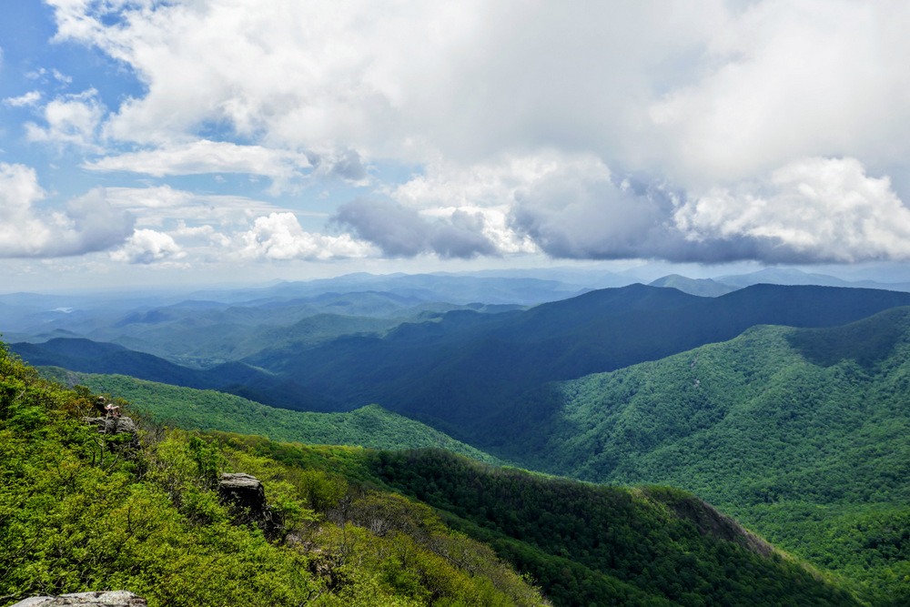
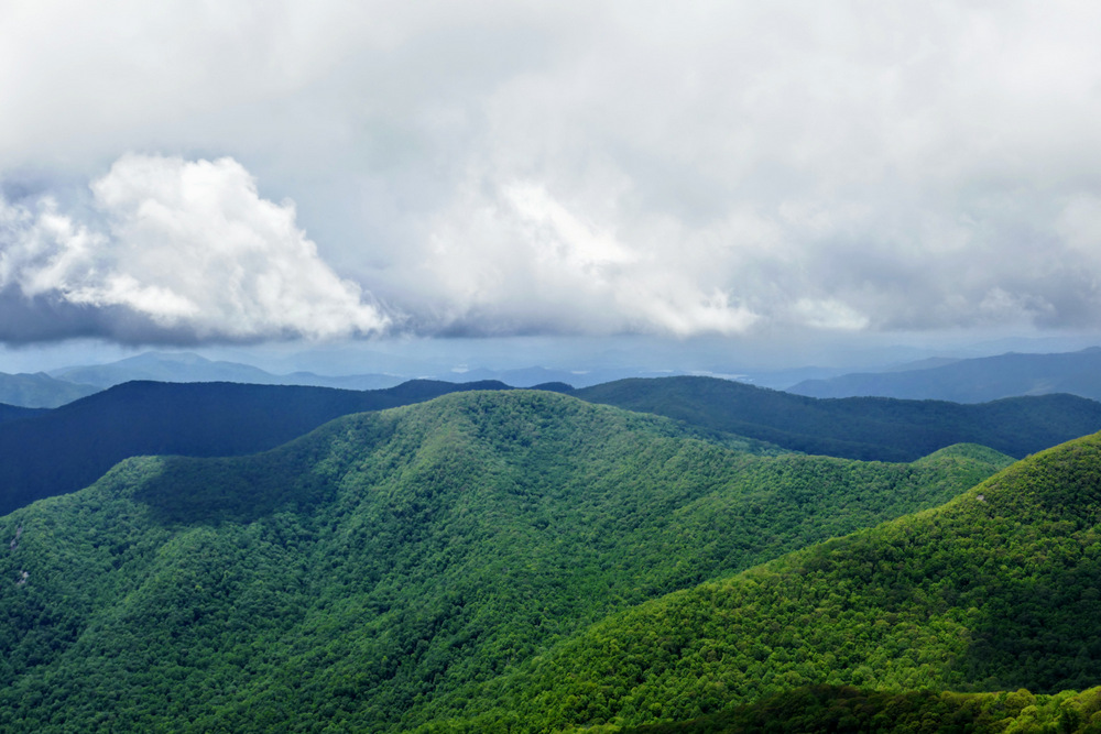
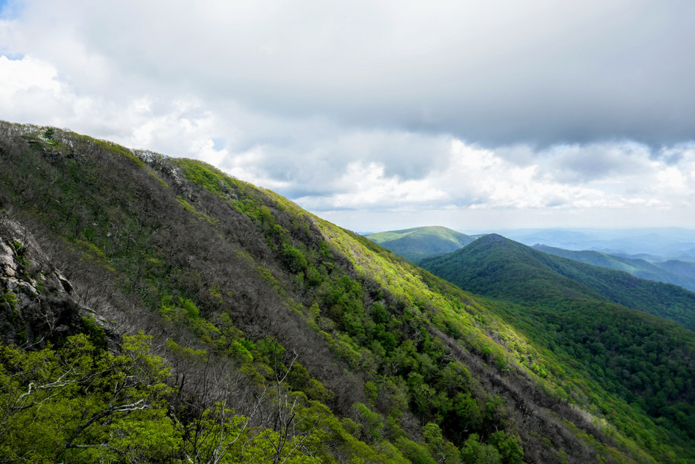
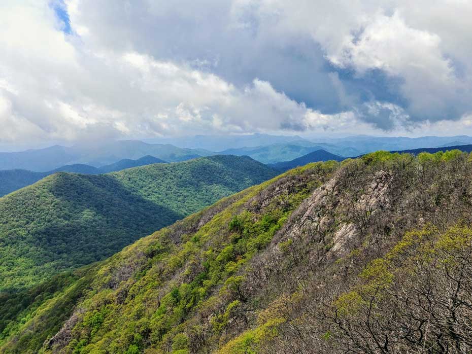
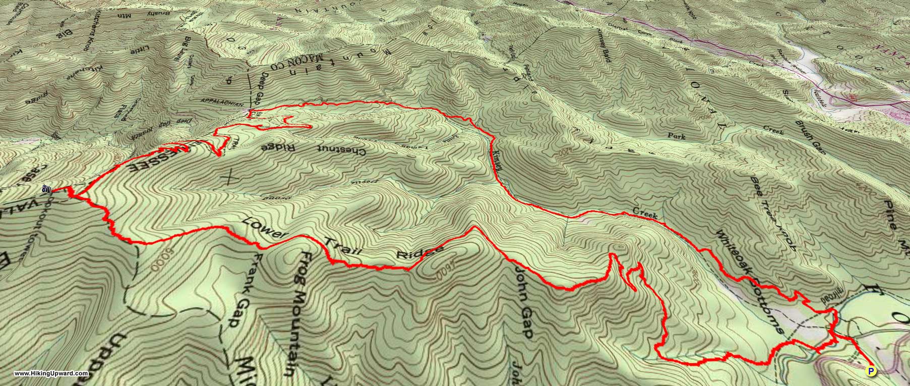
Standing Indian Mountain, nicknamed the “Grandstand of the Nantahalas,” is the highest peak in the Nantahala Mountains of North Carolina and Georgia. This landmark is well-known to Appalachian Trail thru hikers since it is the highest elevation along the trail south of the Great Smoky Mountains. Nestled deep within the Southern Nantahala Wilderness, Standing Indian cannot be reached without putting some miles on your feet. The shortest access is via Deep Gap on FR 71, which is 2.5 miles from the summit. However, the Lower Trail Ridge and Kimsey Creek trail loop affords a longer hike that is easily accessible from U.S. 64. From the Standing Indian Campground follow the Lower Trail Ridge Trail into the Southern Nantahala Wilderness. Although the elevation change is approximately 2,000 feet over 4.3 miles, the trail is never steep. Despite the low foot traffic and official wilderness designation, the trail is in surprisingly good shape and is currently blazed. The summit is just above the Appalachian Trail intersection and provides wonderful views south and west of the Tallulah River headwaters, Rabun Bald, and the Fires Creek Rim. Below the summit the Appalachian Trail travels west towards Deep Gap, passing by the Standing Indian Shelter which is your best area for an overnight campsite. From Deep Gap pick up the Kimsey Creek Trail, which parallels the creek for 2+ miles before ending at the Standing Indian Campground. This is a great introduction to the Southern Nantahala Wilderness and easier than the mileage and elevation gain suggest.
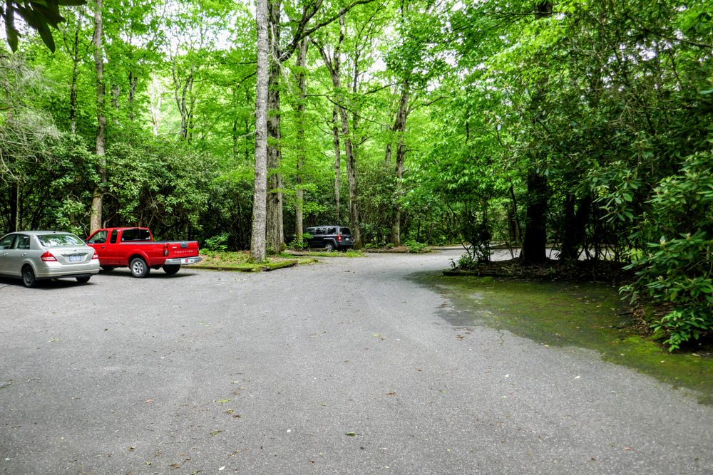
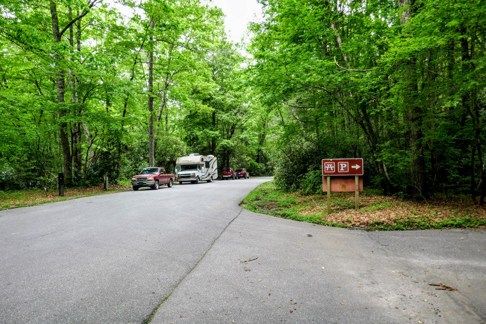
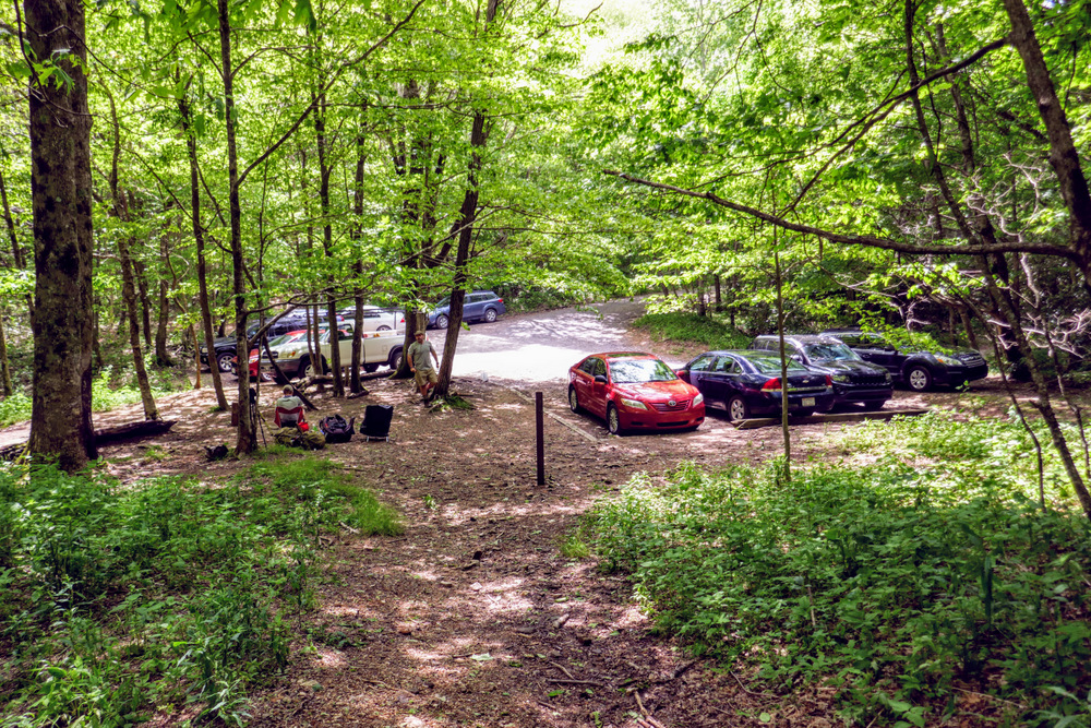
Alternate Parking – You can also park at the Standing Indian Campground day-use parking and picnic area. This is located a few hundred feet north of the bridge over the Nantahala River. Parking here requires a $2 day-use fee. Additionally, the campground entrance is closed from Dec 1 – Mar 31.
| Mile Summary and Highlights |
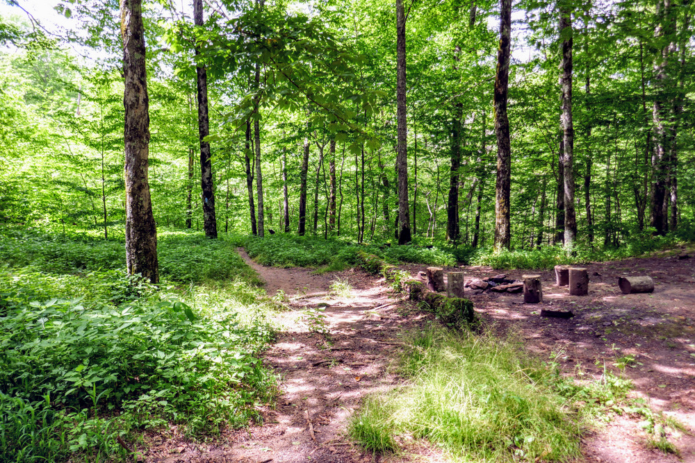
0.0 - Lower Trail Ridge Trail passes through the Standing Indian Campground
1.7 - Enter the Southern Nantahala Wilderness
4.4 - Standing Indian summit (5,499 feet) with southwest views
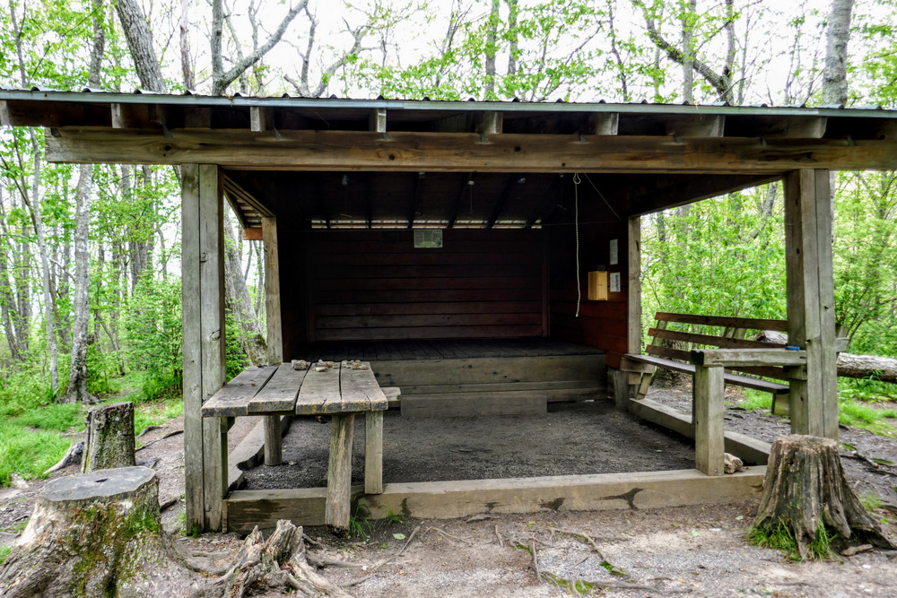
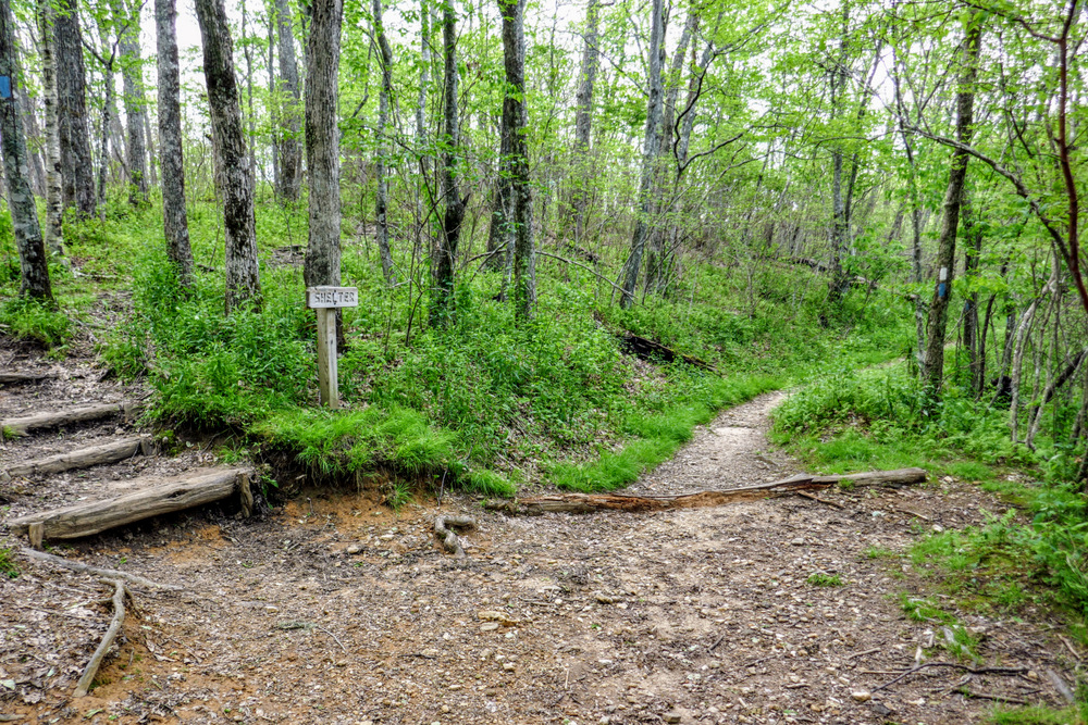
6.3 - Standing Indian Shelter and campsites
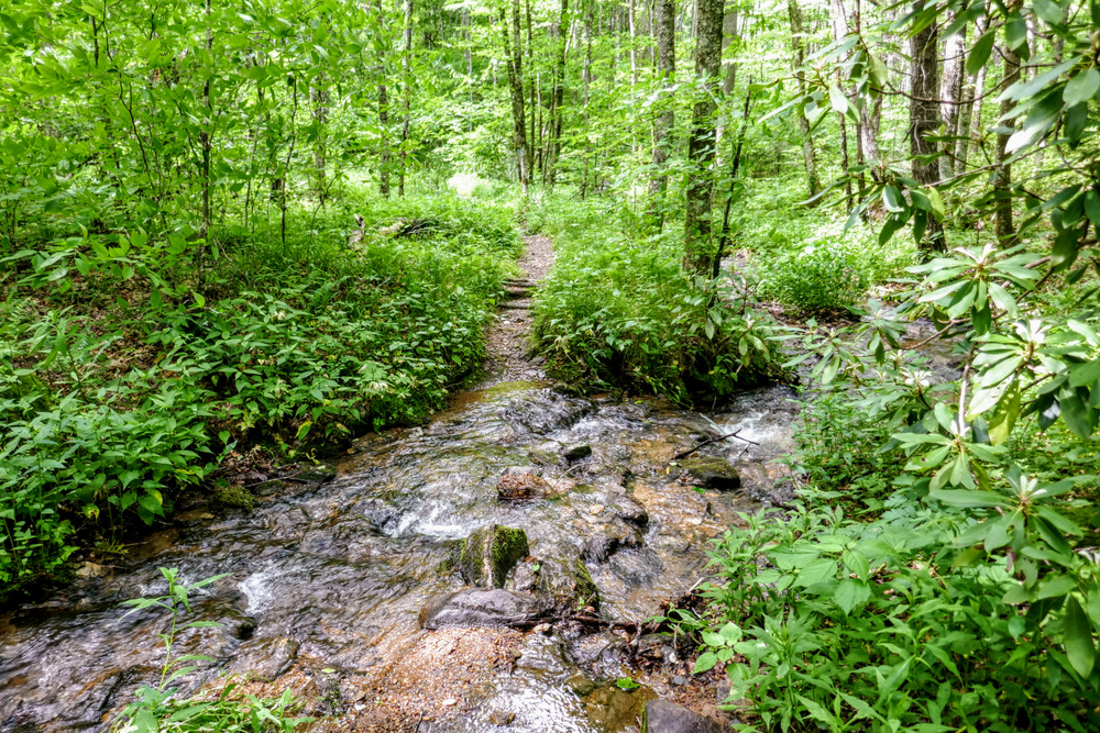
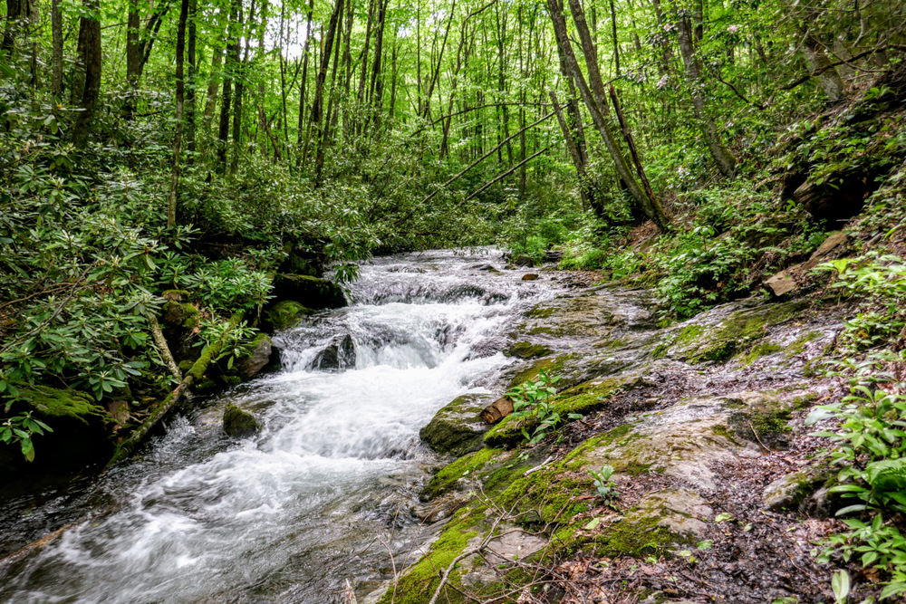
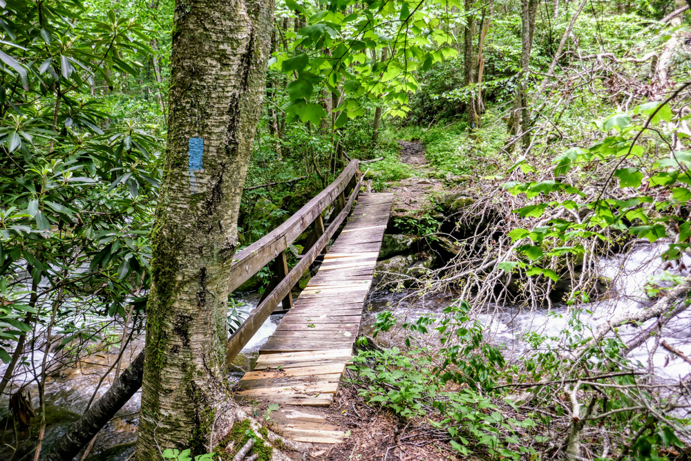
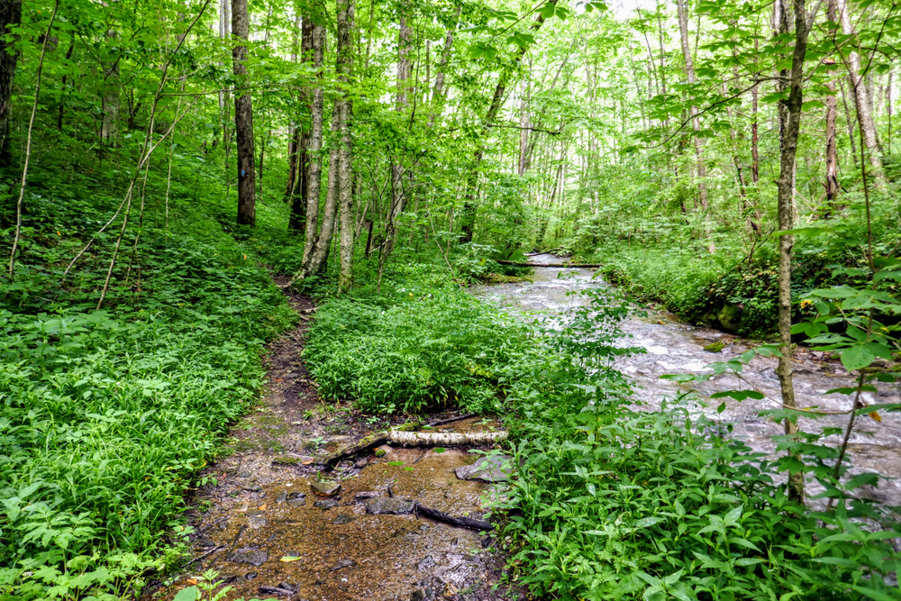
7.2 - Begin Kimsey Creek Trail at Deep Gap
8.3 - Parallel Kimsey Creek for the next 2 miles |
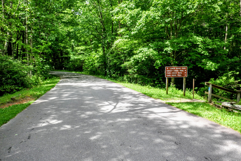
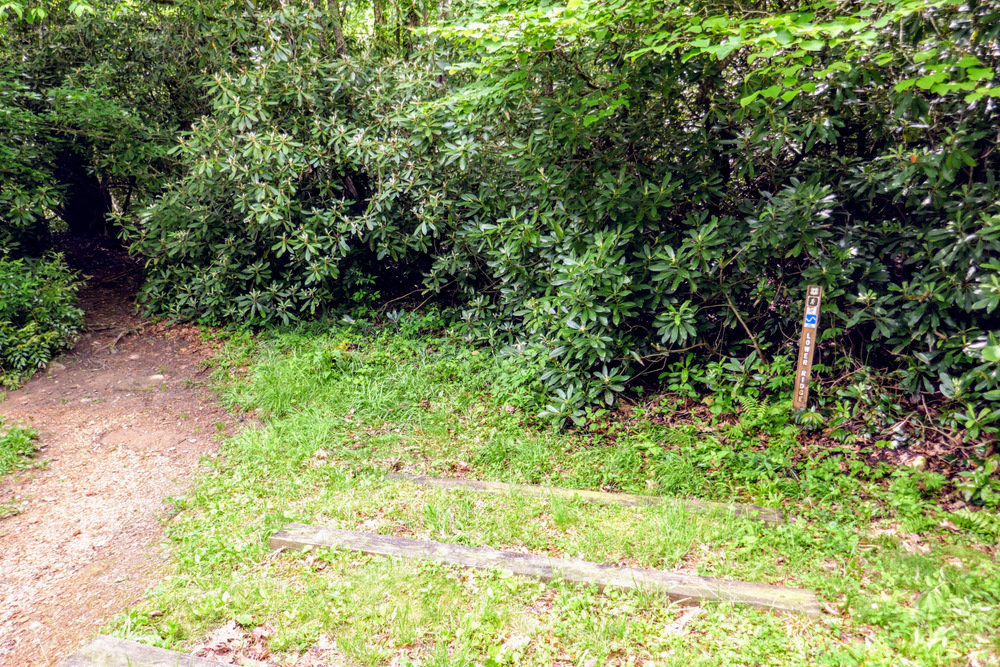
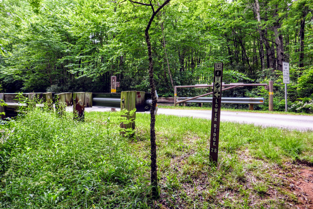
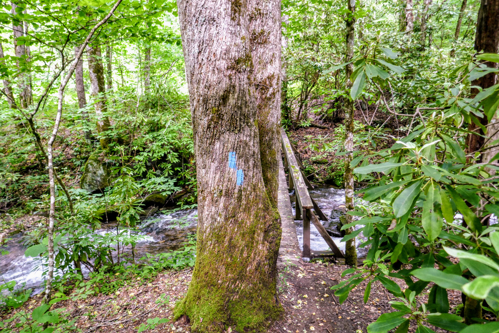
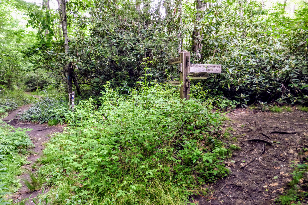
- Mile 0.0 – Parking is available on FR 67 on either side of Long Branch. The Backcountry Information Center is located before crossing Long Branch at the intersection of FR 67 and FR 67B. This is the trailhead for the Blackwell Gap Loop Trail [366] which initially follows FR 67B. Immediately after crossing Long Branch is additional parking for the Lower Trail Ridge Trail [28] (blue blaze) and the Long Branch Trail [86]. The Long Branch Trail heads east. To begin the hike, follow the Lower Trail Ridge Trail west towards the Standing Indian Campground. On many maps you will see the name shortened to the Lower Ridge Trail.
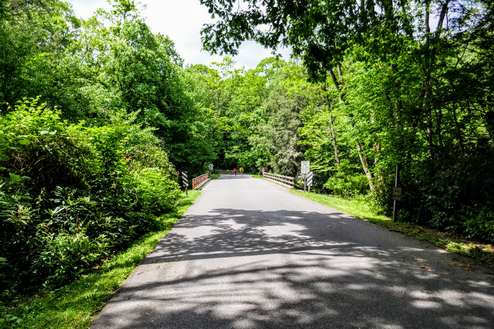
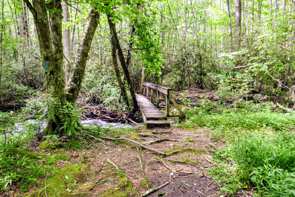
- Mile 0.1 – Lower Trail Ridge Trail crosses Long Branch on a wooden bridge and meets Standing Indian Campground Rd. Turn left to cross the Nantahala River. The day-use parking lot for the Standing Indian Campground is located a few hundred feet on the right.
- Mile 0.2 – On the other side of the river is a four-way junction for the Lower Trail Ridge Trail and Kimsey Creek Trail [23]. Turn left onto the Lower Trail Ridge Trail. The trail follows a narrow strip of land between the Nantahala River and group campsites.
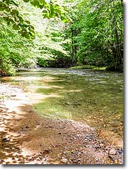
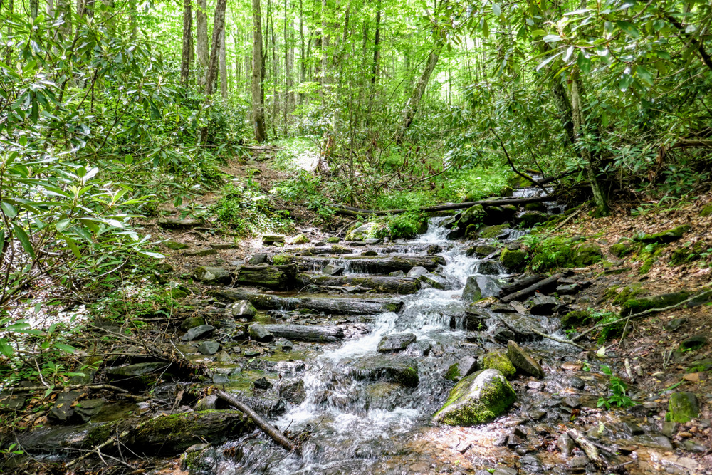
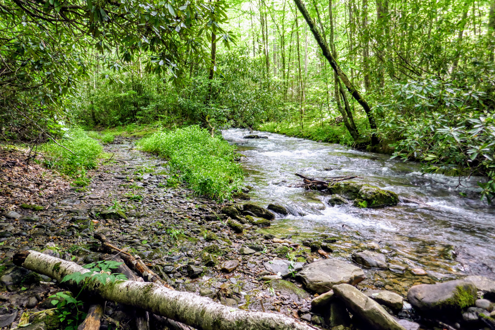
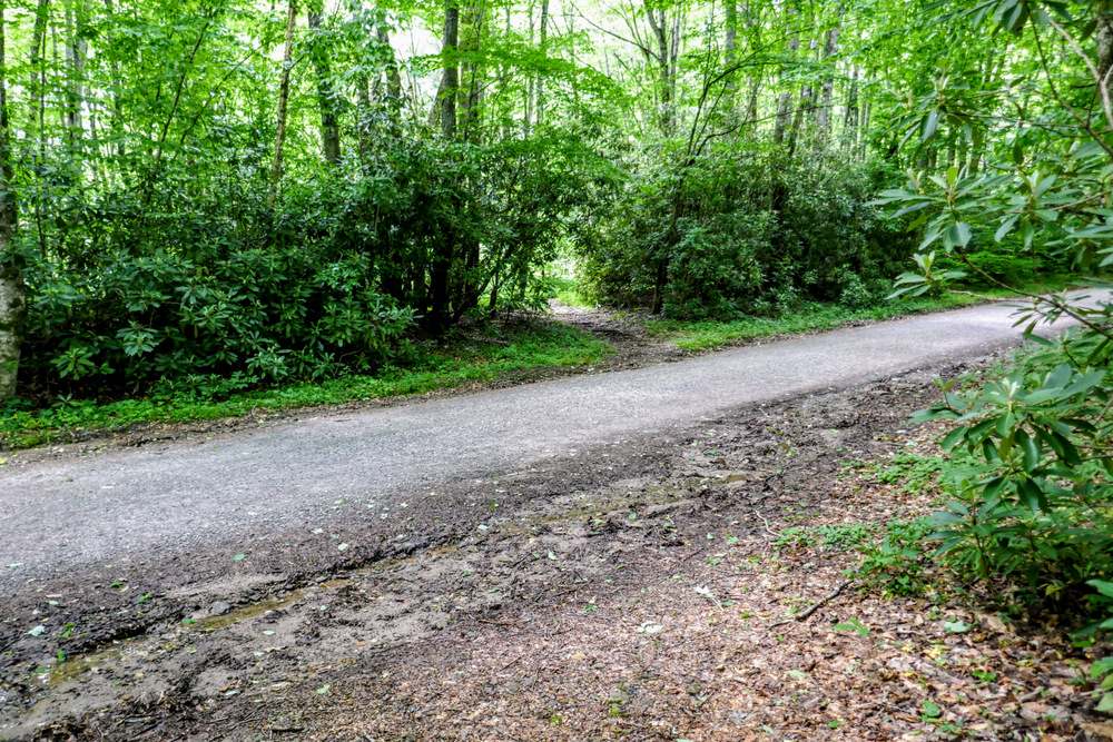
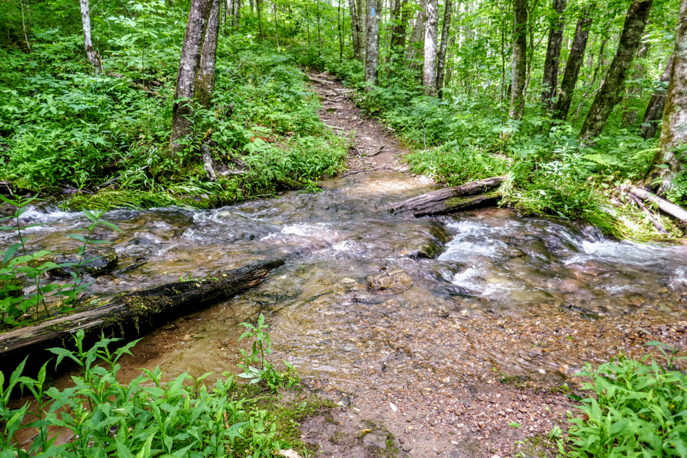
- Mile 0.45 – Follow the FR 424E bridge over Kimsey Creek then leave the road turning right.
- Mile 0.5 – Cross FR 424E a second time.
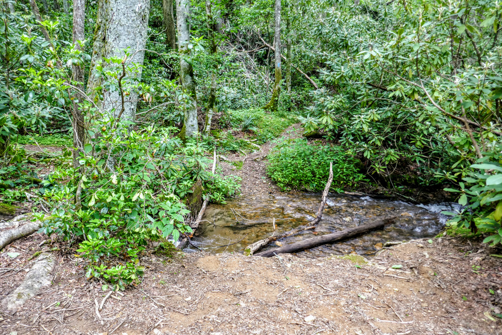
- Mile 0.75 – Rock hop a small unnamed tributary, then cross FR 424D1. After crossing FR 424D1 you will leave the Standing Indian Campground roads.
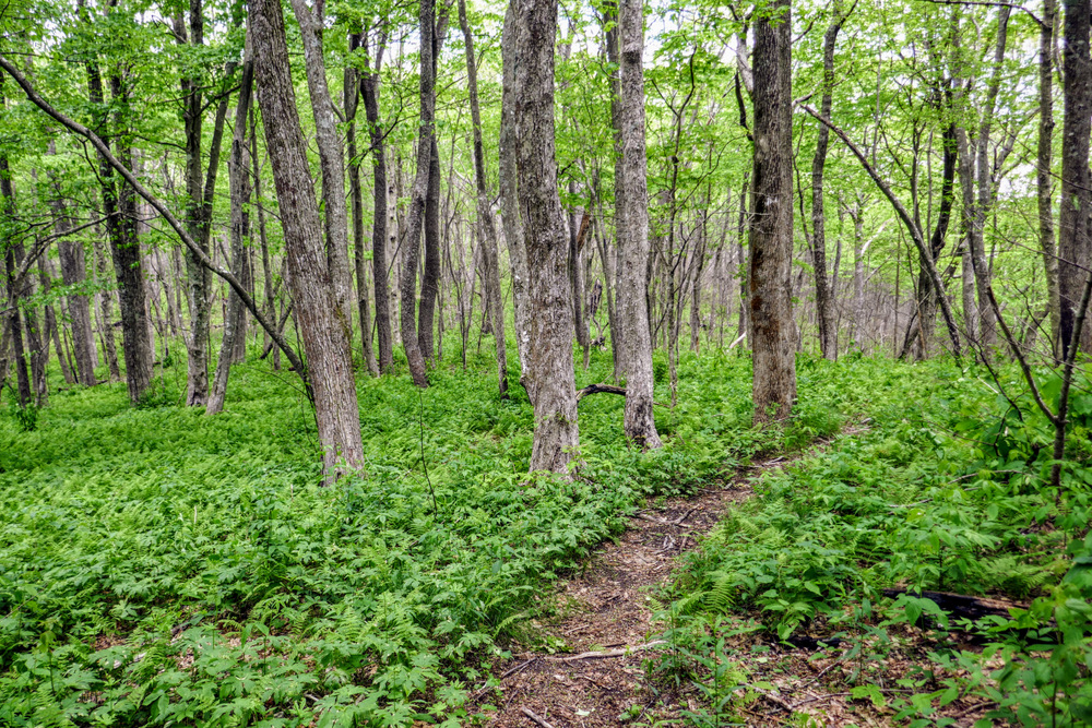
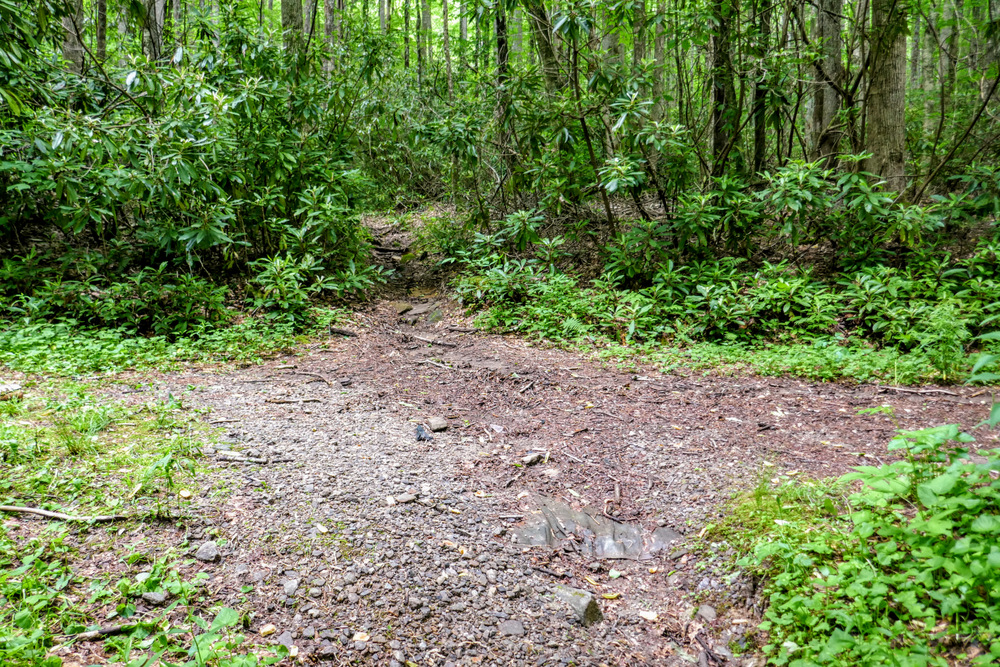
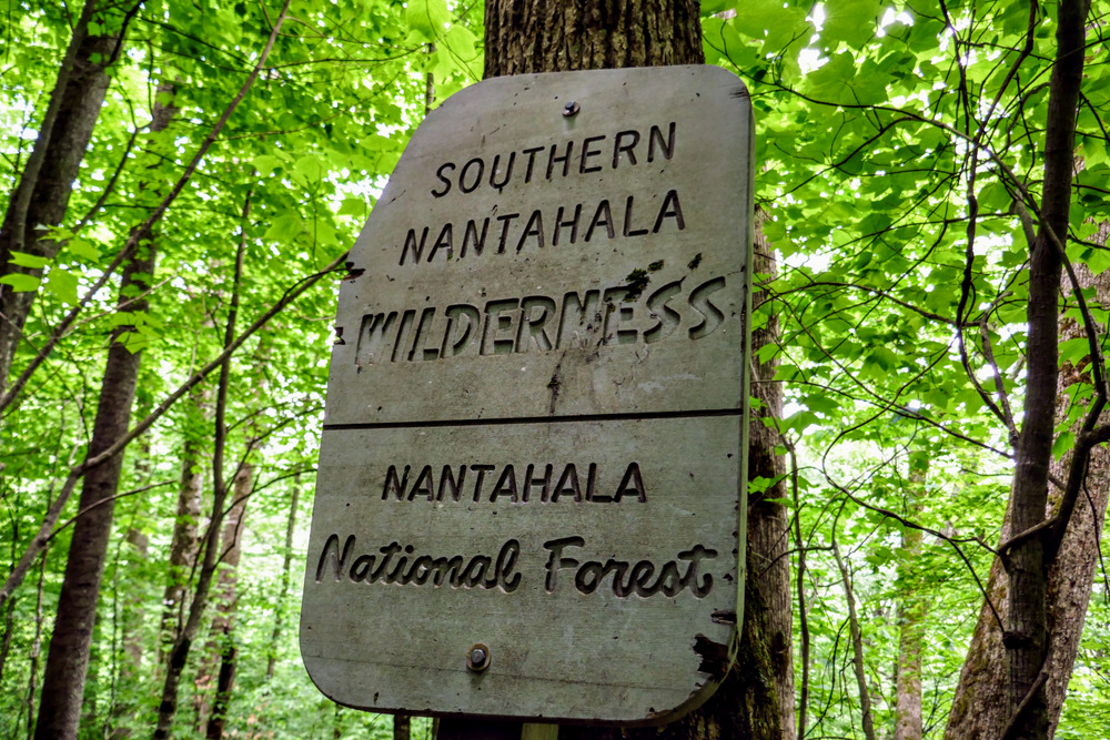
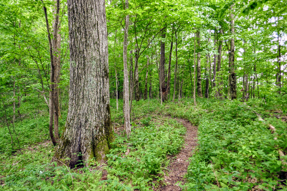
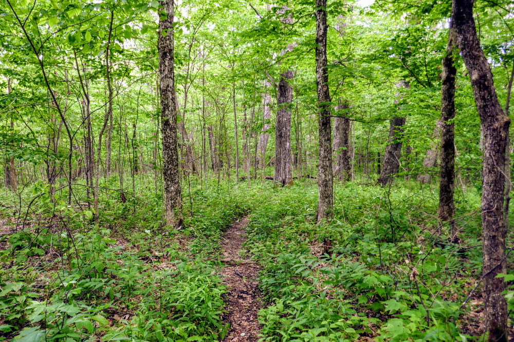
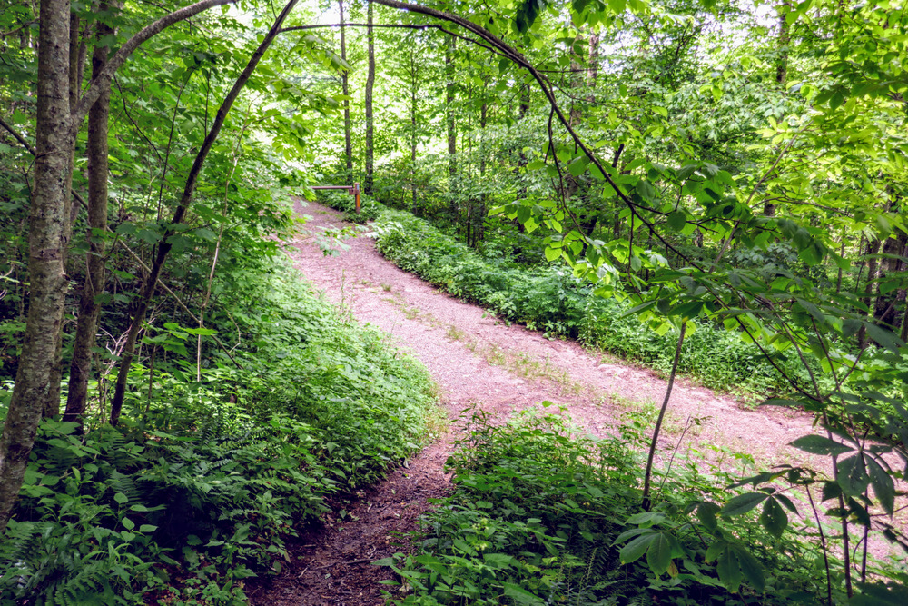
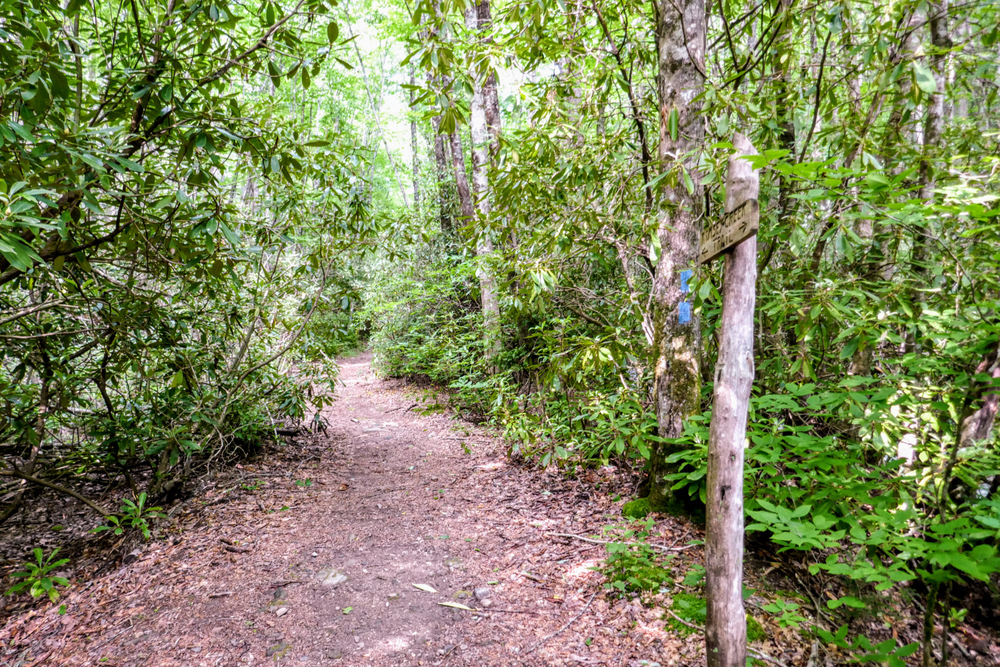
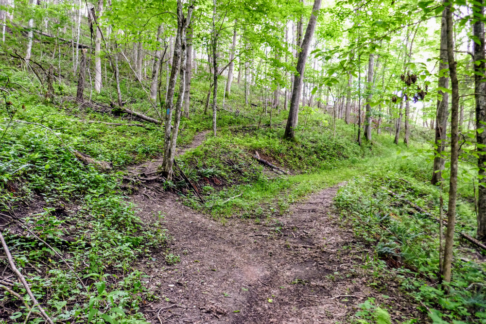
- Mile 1.7 – Enter the Southern Nantahala Wilderness. You’ll climb through sparse hardwood forests with a pleasant understory of grasses and ferns. Occasionally you’ll spot large second-growth hardwoods.
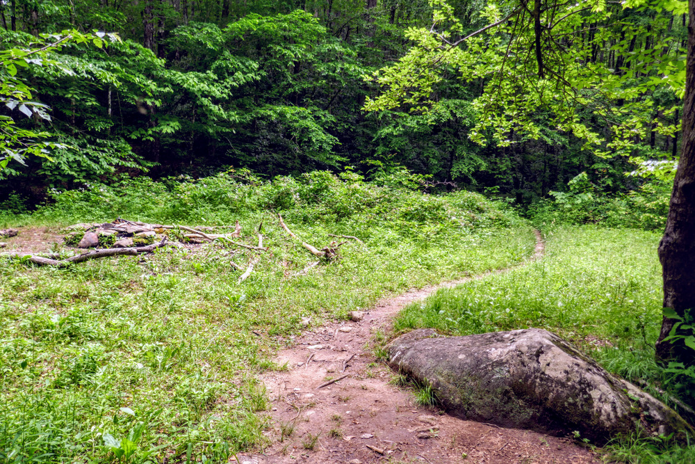
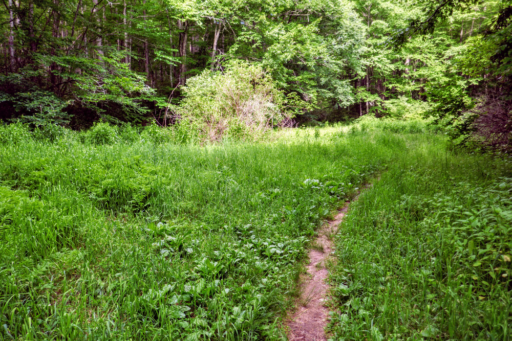
- Mile 2.3 – Pass through John Gap. Although there are no established primitive campsites, this gap is very wide and flat and could easily accommodate tents.
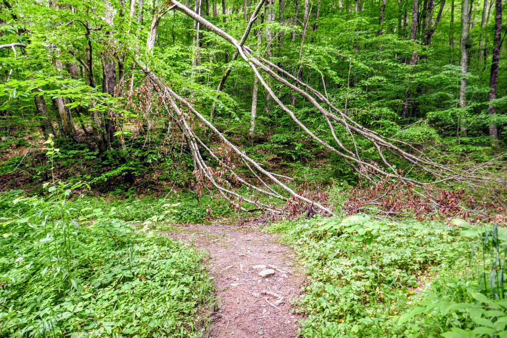
- Mile 3.5 – Pass through Frank Gap between Frog Mountain and Standing Indian Mountain.
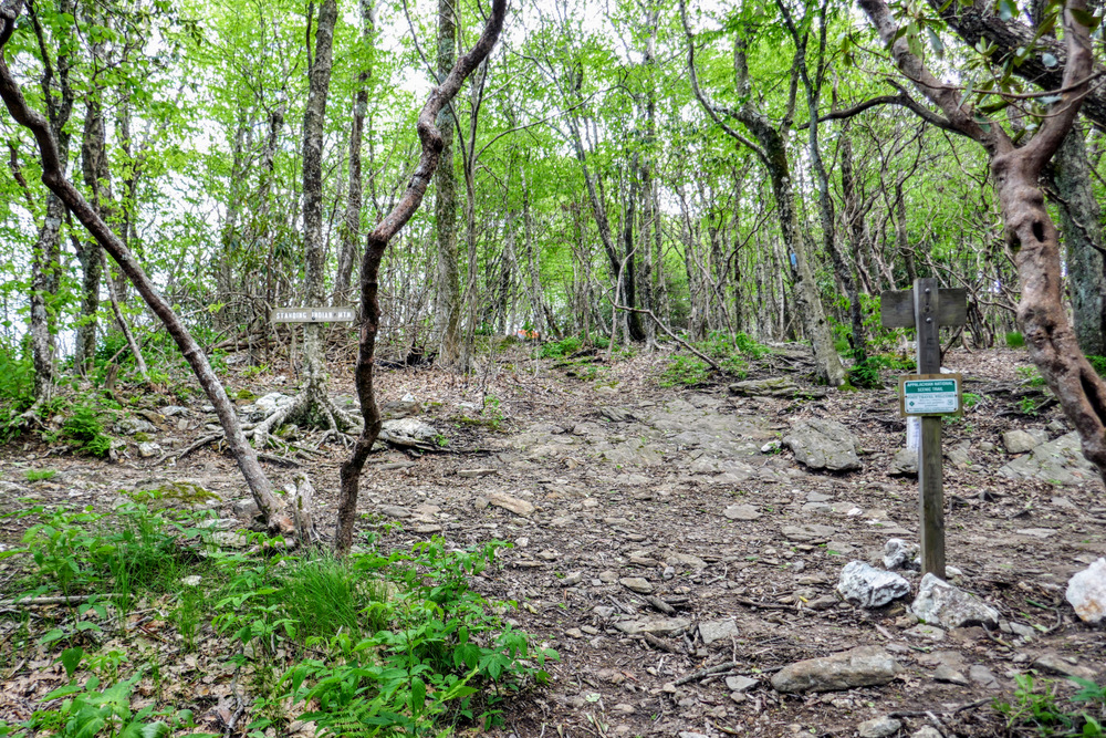
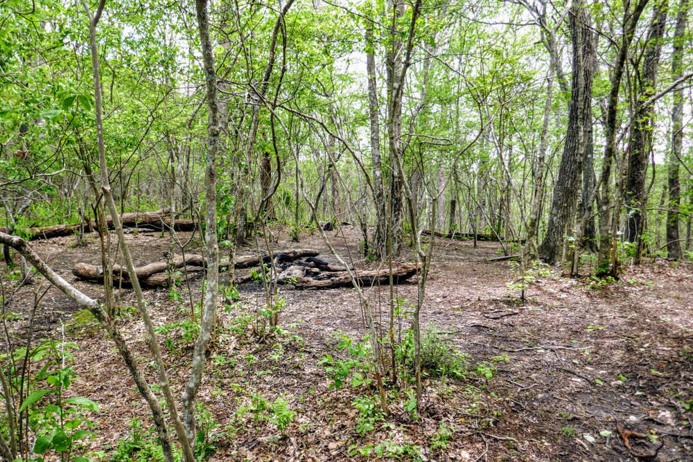
- Mile 4.3 – The Lower Trail Ridge Trail ends at a T-junction with the Appalachian Trail. A heavily used side trail continues straight towards the summit. There are good campsites on both sides of the trail.
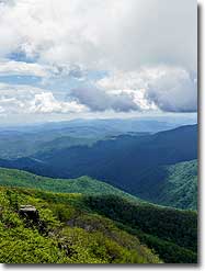
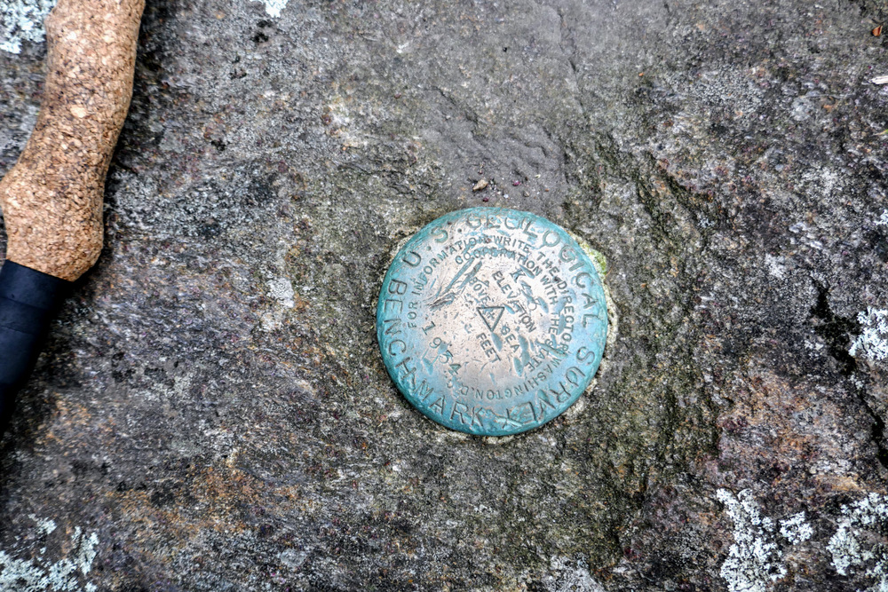
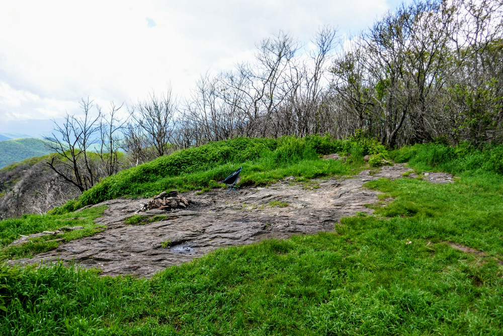
- Mile 4.4 – Reach the summit of Standing Indian Mountain (5,499 feet). The small clearing was the site of a former lookout tower until it was abandoned in 1951 and removed in the mid-1960s. The lookout tower on nearby Albert Mountain served as a replacement. There is a good view from the clearing on the summit, but you should continue on the trail southeast to a better overlook.
|

