|
| Length |
Difficulty |
Streams |
Views |
Solitude |
Camping |
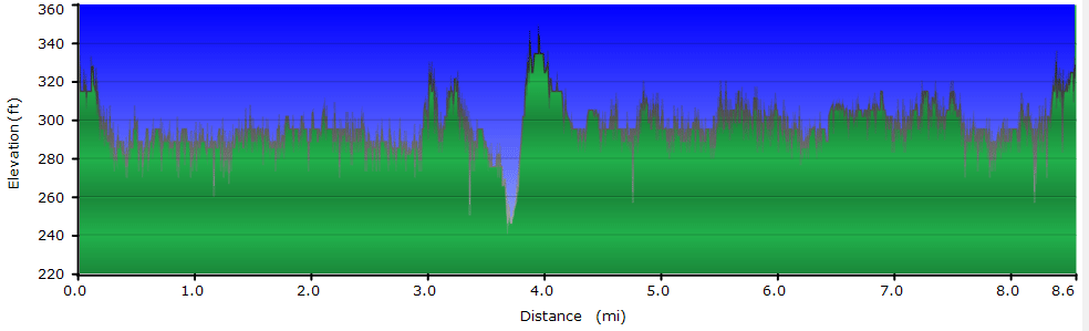
| 7.7 mls |
 |
 |
|
|
N/A |
Hiking
Time:
Elev. Gain:
Resources: |
3.5 hours with half hour for lunch
150 ft
 Topo Hike Trails Map (PDF) Topo Hike Trails Map (PDF)
Brambleton, VA Weather Forecast
Garmin (GDB), Gaia/Trails App (GPX) (What's
this?) |

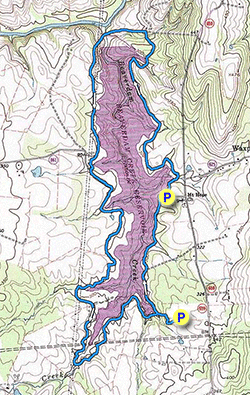
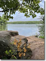
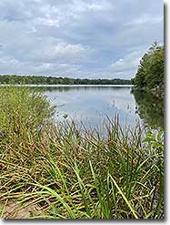
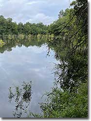
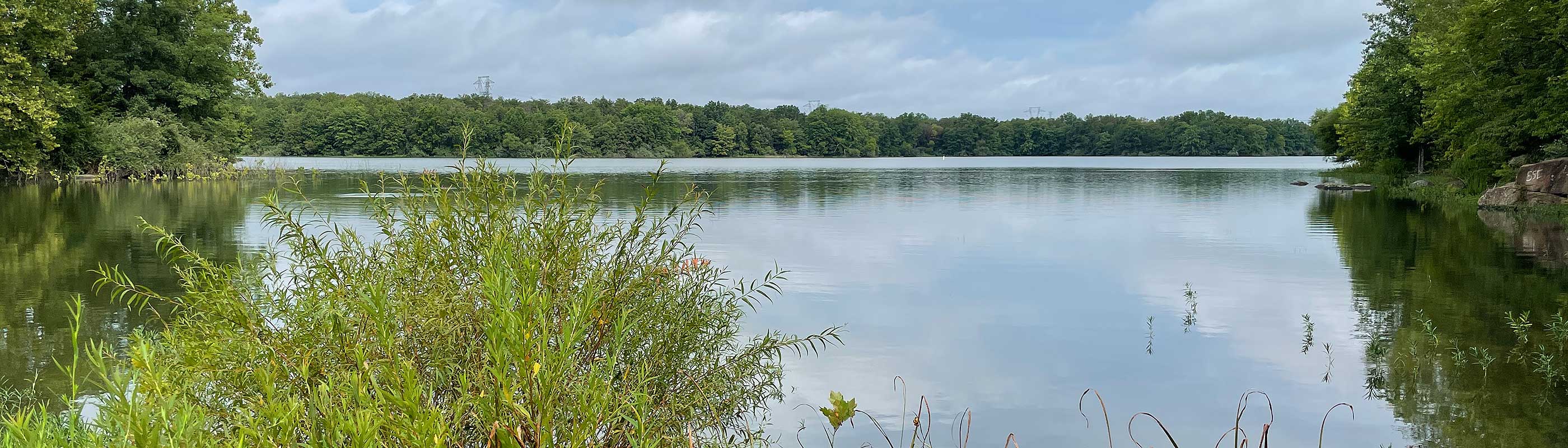
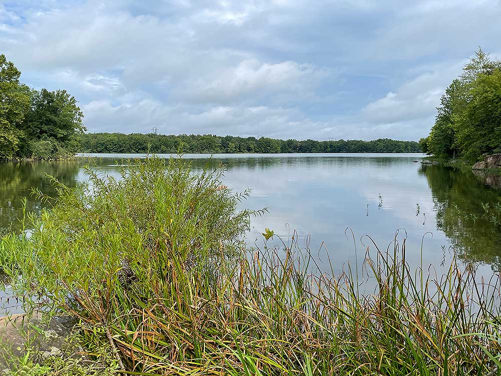
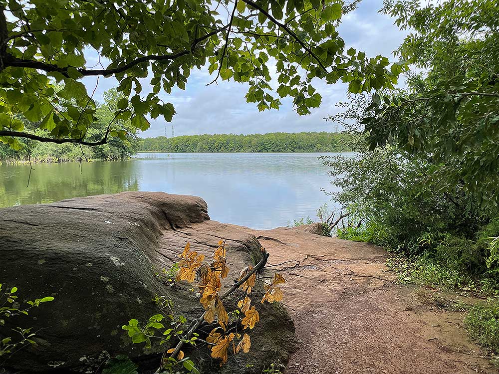
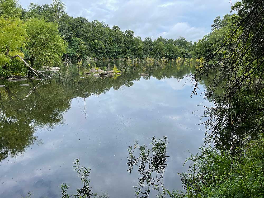
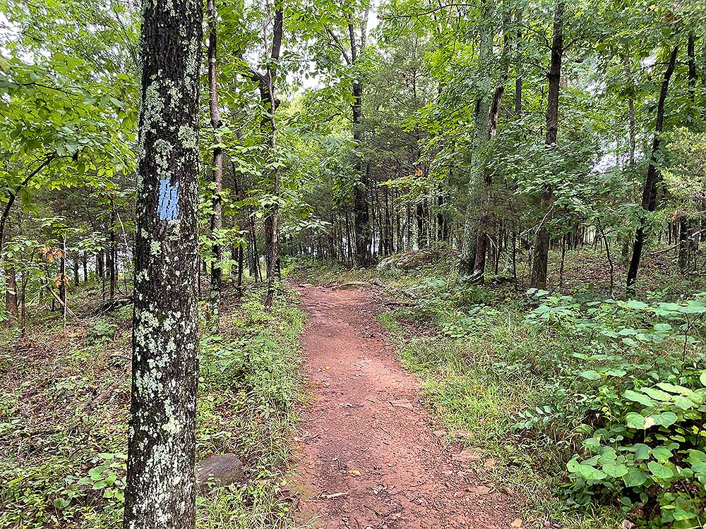
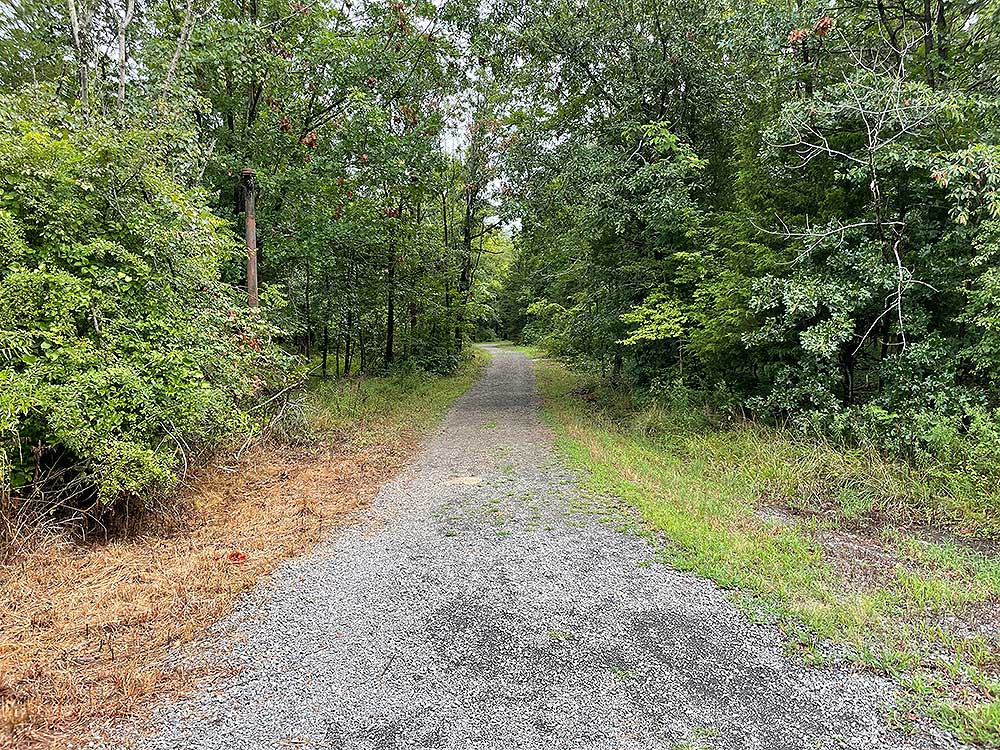
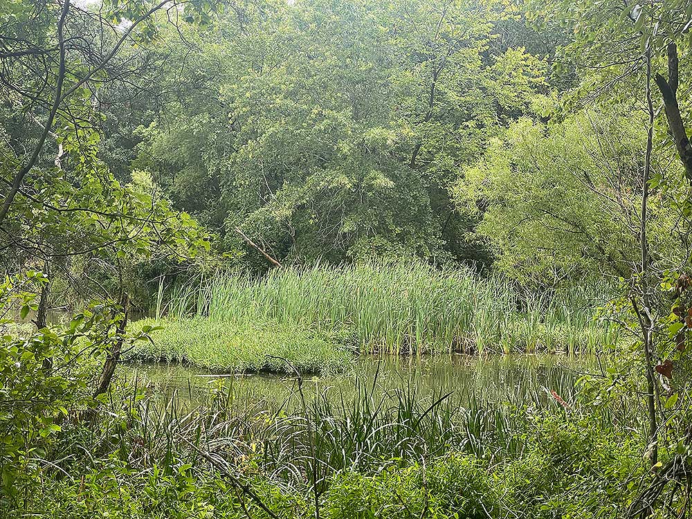
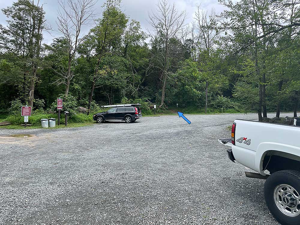
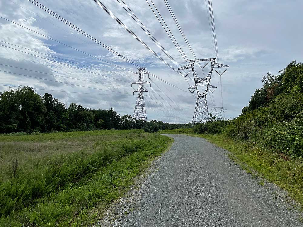
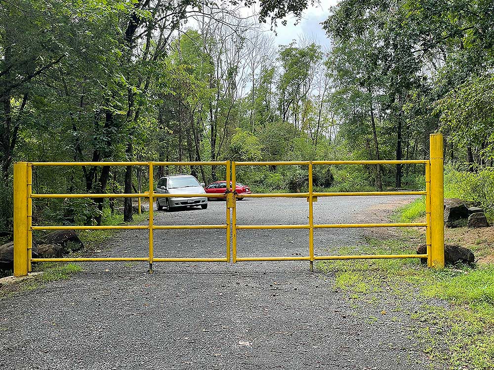
The Beaverdam Reservoir is located in Loudoun County VA, and is a partnership between Northern Virginia Regional Parks and Loudoun Water. There are over 600 acres of parkland available for hiking, fishing, and non-motorized water sports. Swimming and wading is prohibited. There are three main access points, from the National Recreation and Park Association building area, the end of Mt. Hope Rd, and at the end of Reservoir Road on the western side of the reservoir.
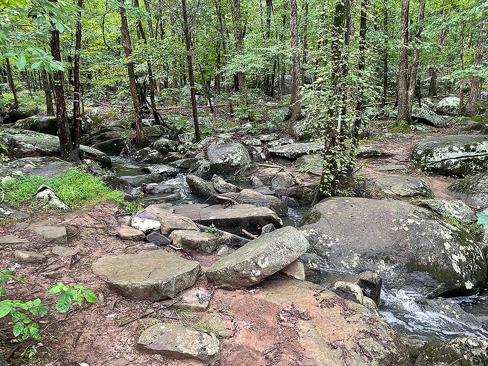
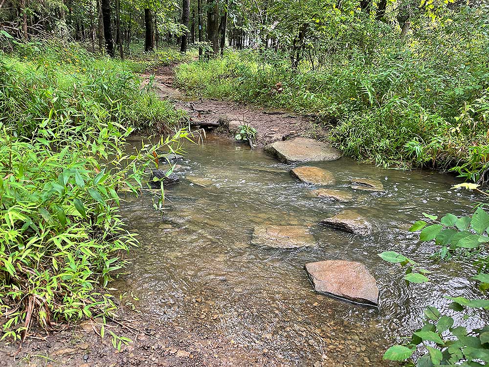
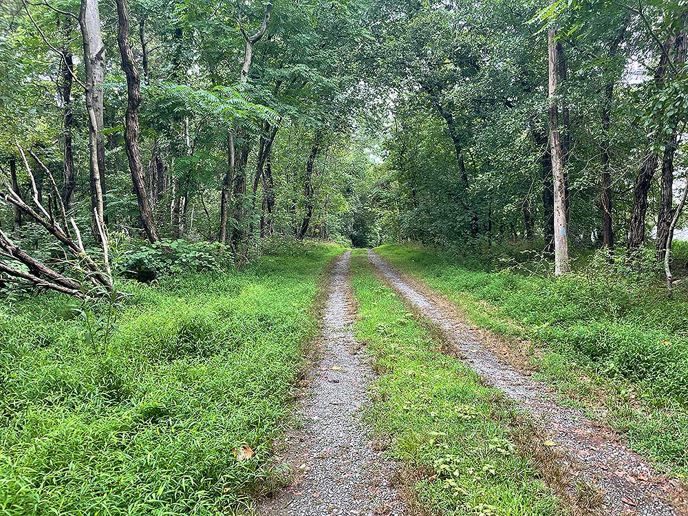
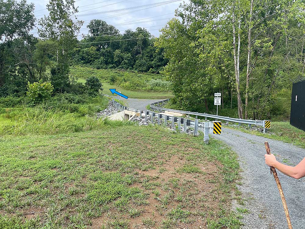
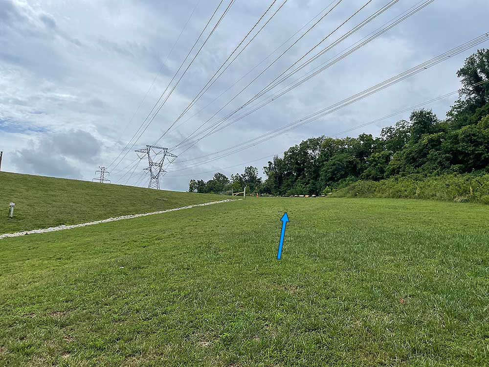
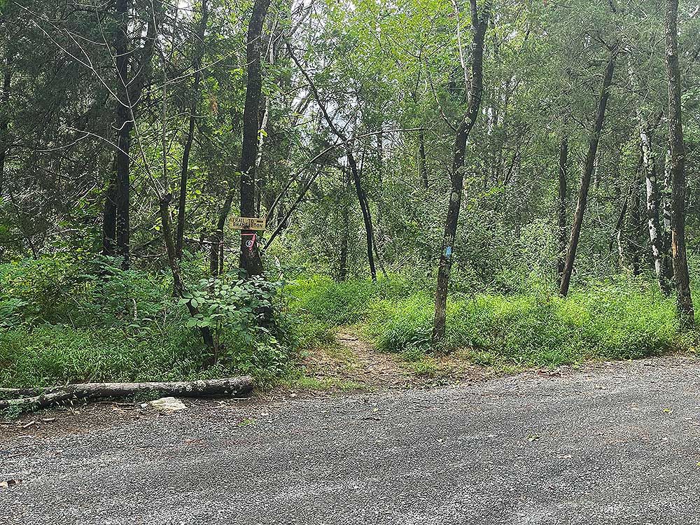
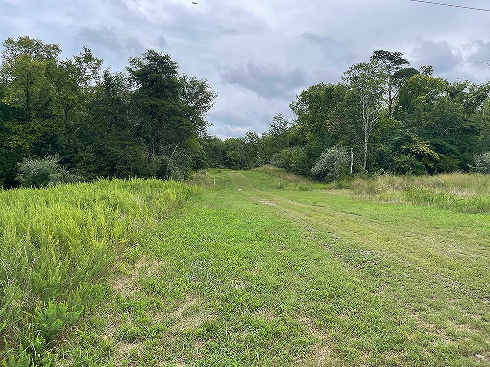
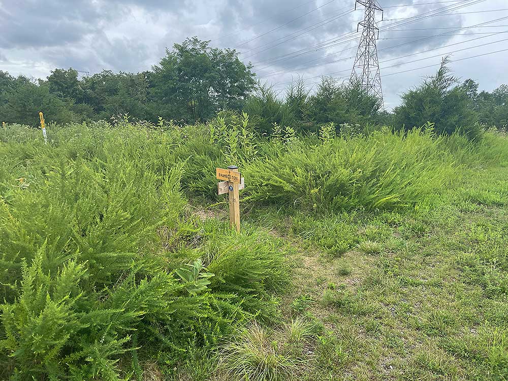
The main hiking circuit described below is 7.7 miles and circumnavigates the reservoir.
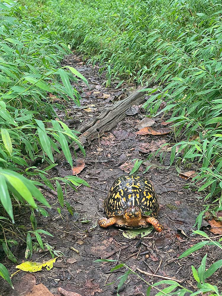
Keep an eye out for Box Turtles that are very prevalent in the park. We came across six of them when hiking the circuit in October.
|


