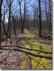
| Length |
Difficulty |
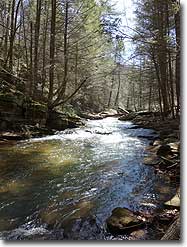
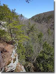
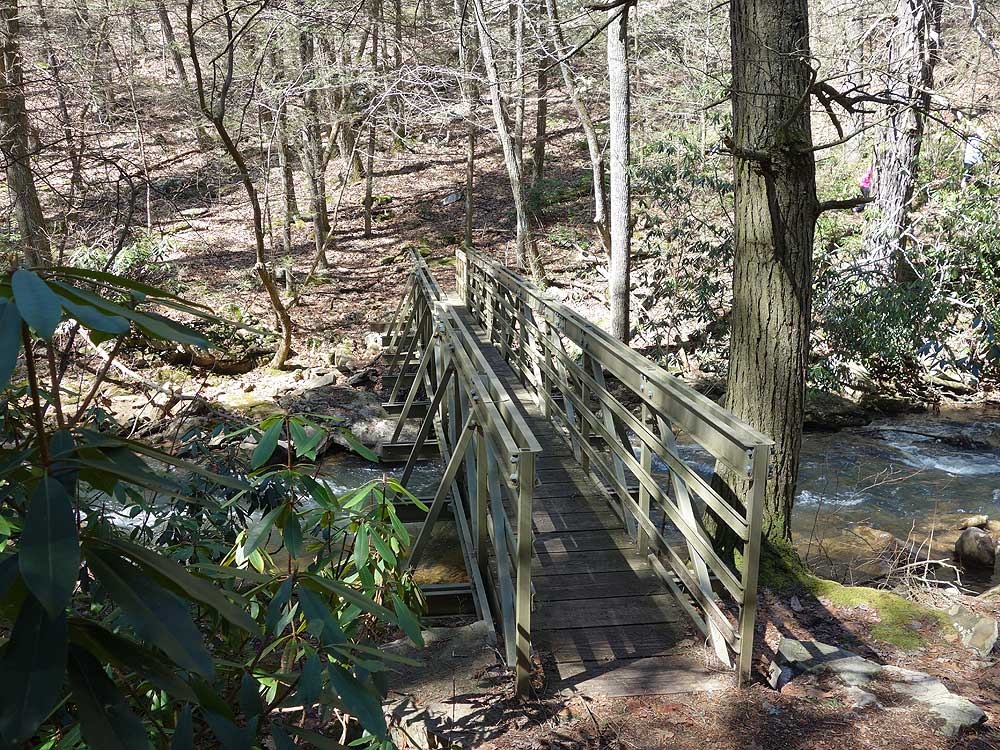
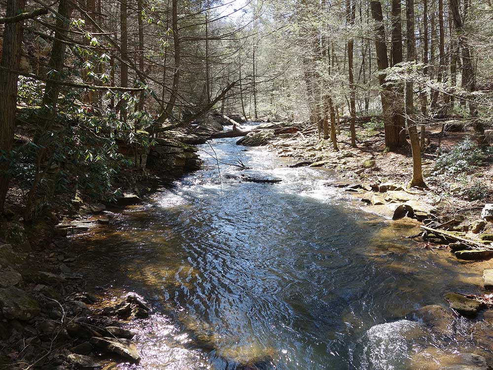
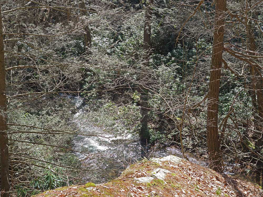
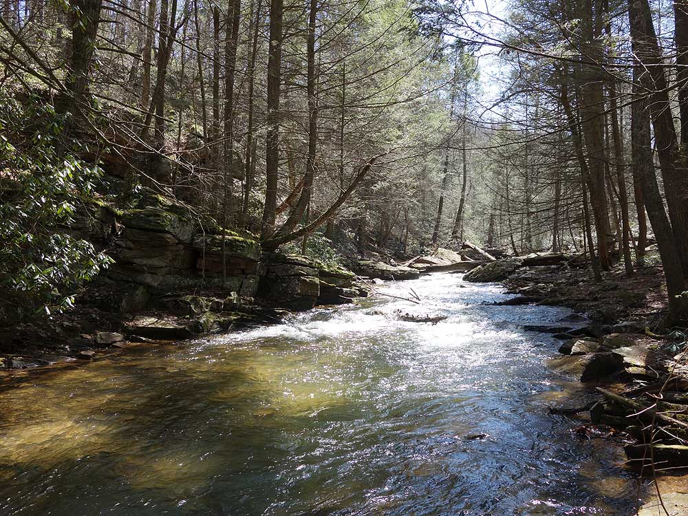
Streams |
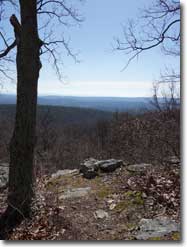
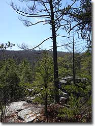
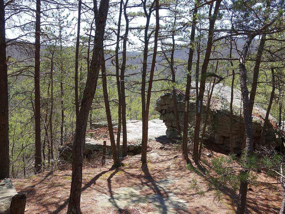
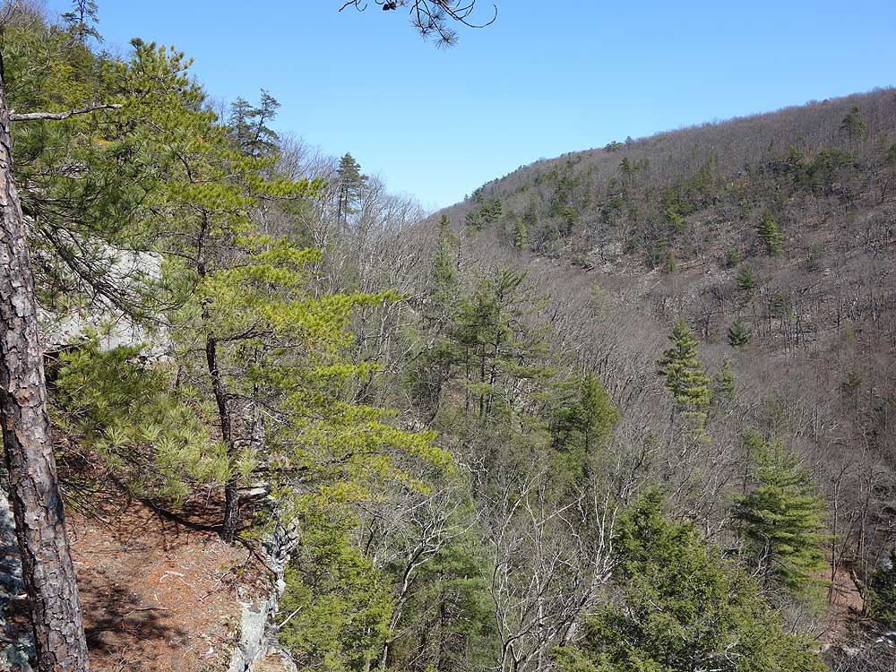
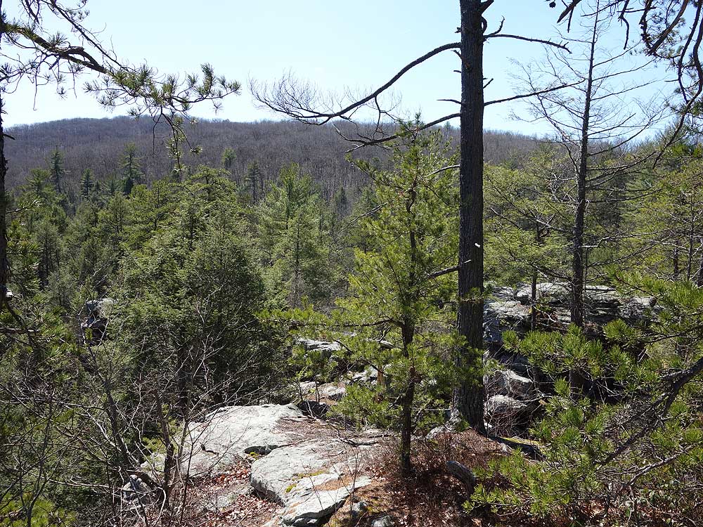
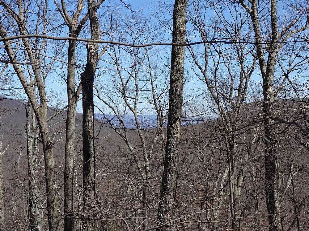
Views |
Solitude |
Camping |
| 2.2 mls |
 |
 |
|
 |
N/A |
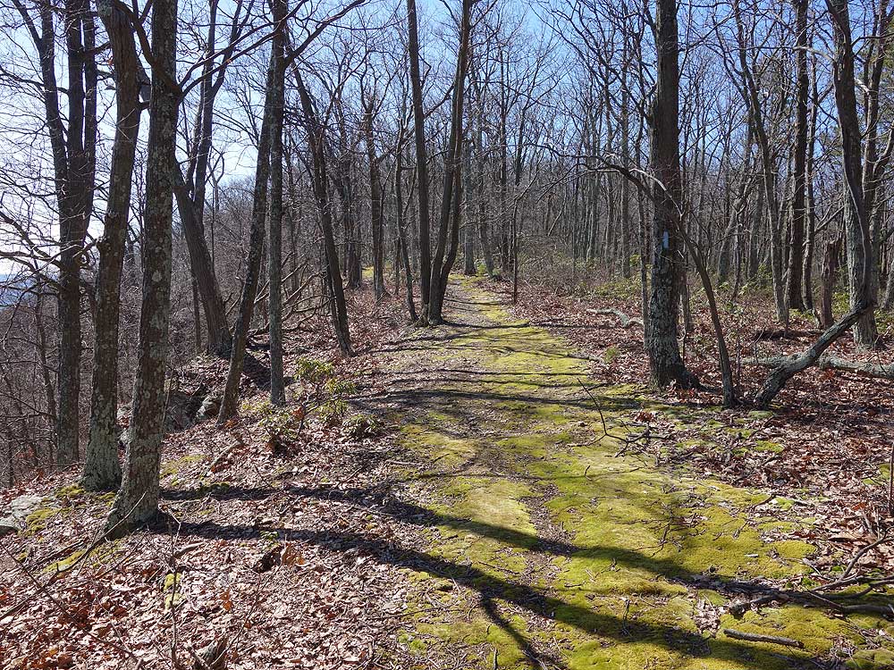
Hiking
Time:
Elev. Gain:
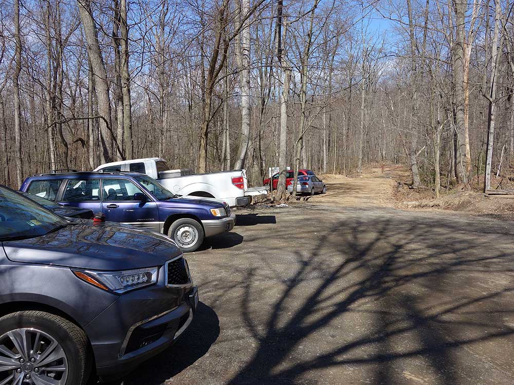
Parking:
|
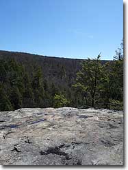
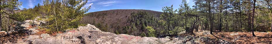
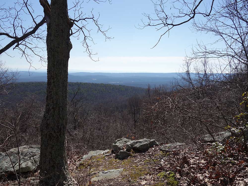
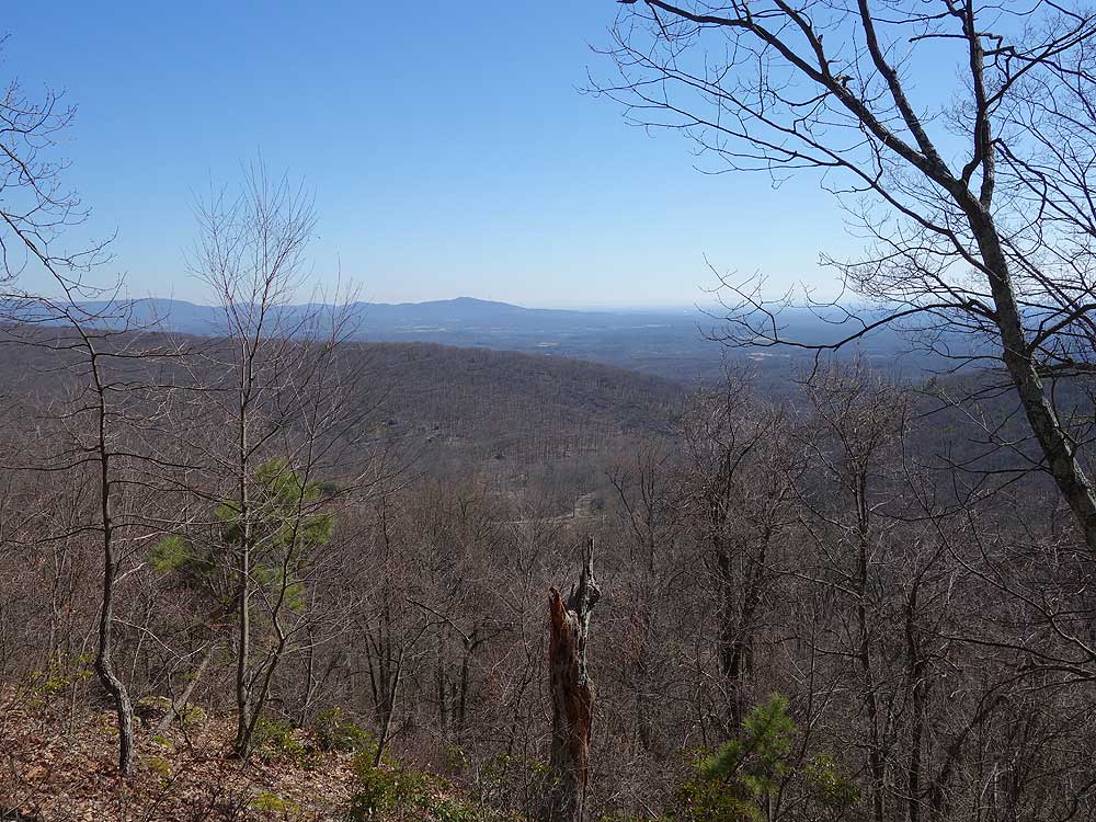
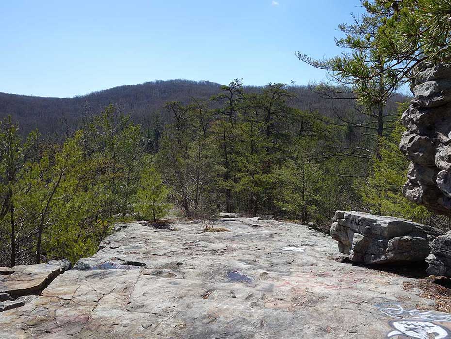
Devils Nose
1.5 hrs plus a half hour for lunch
440 ft
|
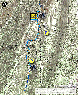
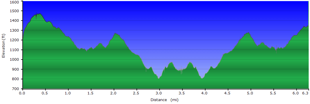
| 6.2 mls |
|
|
 |
|
N/A |
Hiking
Time:
Elev. Gain:
Parking: |
Devils Nose/Third Hill Mountain
4.0 hrs plus a half hour for lunch
1,290 ft
|
| Resources: |
 Topo Hike Trails Map (PDF) Topo Hike Trails Map (PDF)
Cherry Run WV Weather Forecast
Garmin (GDB), Gaia/Trails App (GPX) (What's
this?)
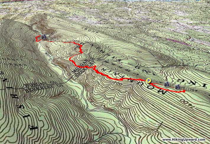
3D View of Route |


