|
| Length |
Difficulty |
Streams |
Views |
Solitude |
Camping |
| 3.0 mls |
 |
 |
N/A |
 |
N/A |
Hiking
Time:
Elev. Gain:
|
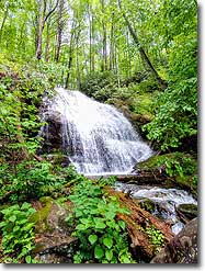
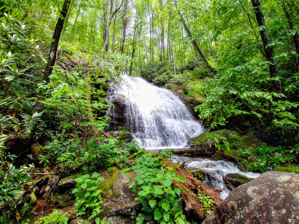
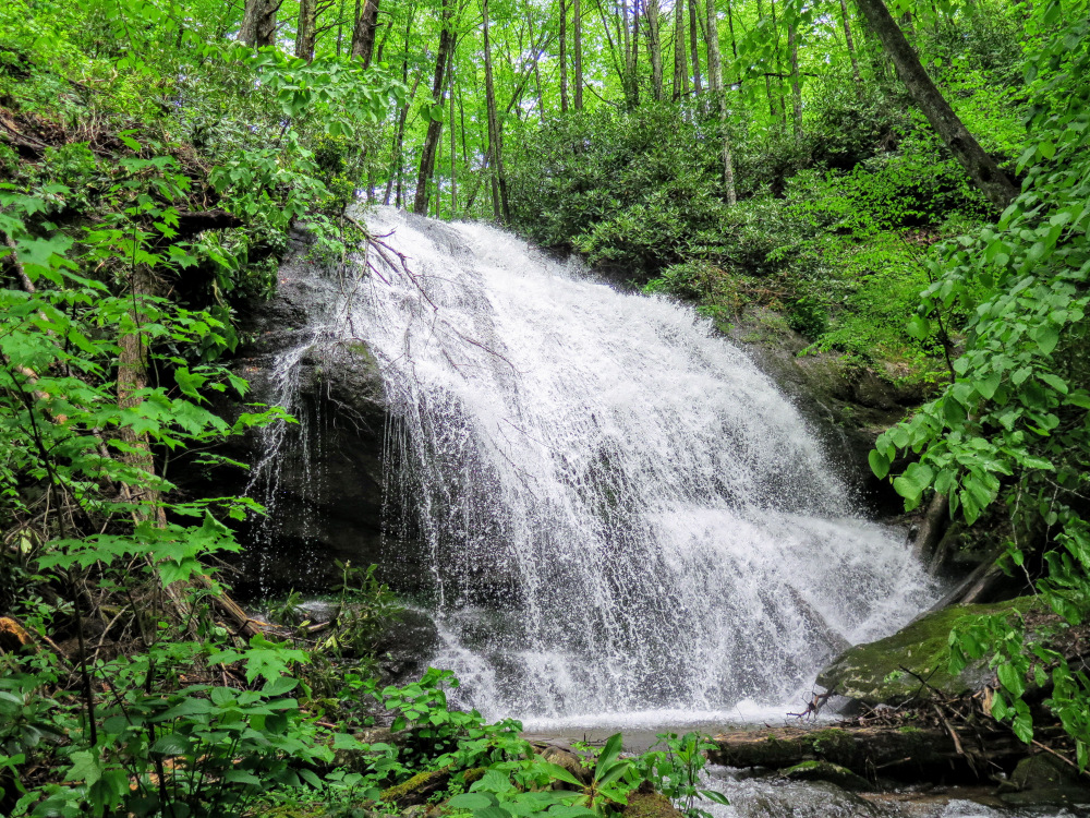
West Prong Hickey Fork Falls
1 hour and 45 with 15 minutes of breaks
560 ft |
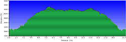
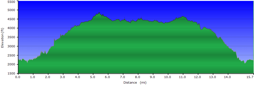
| 15.7 mls |
|
|
|
|
 |
Hiking
Time:
Elev. Gain:
|
Camp Creek Bald, Blackstack Cliffs, and Big Firescald Knob
8 hours and 30 minutes with 2 hours of breaks
3,670 ft |
| Resources: |
 Topo Hike Trails Map (PDF) Topo Hike Trails Map (PDF)
Carmen NC Weather Forecast
Garmin (GDB), Gaia/Trails App (GPX) (What's
this?)
3D
View of Route |
 By Trail Contributor: Zach Robbins (Contact Zach) By Trail Contributor: Zach Robbins (Contact Zach)
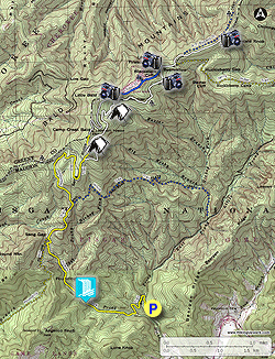
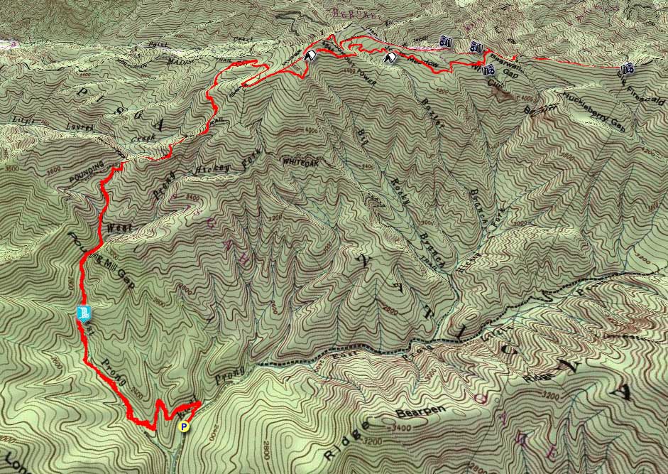
This hike explores many of the notable landmarks within the Shelton Laurel Backcountry Area, a remote region in the Appalachian Ranger District of Pisgah National Forest. Located between Hot Springs and Interstate 26, these national forest trails receive little traffic year-round. You’ll start with the Hickey Fork Trail on FR 465, and follow West Prong Hickey Fork deep into the backcountry towards West Prong Hickey Fork Falls. After viewing the waterfall, you can turn around for a 3-mile hike or continue climbing to the Appalachian Trail to see many notable landmarks along the North Carolina-Tennessee border. Your first stop is Camp Creek Bald, home to the oldest original lookout tower in the state. Although the massive mountain rises high above the surrounding peaks, the summit itself is blocked by trees and communication structures. The top cab is typically locked, and the view from the stairs is limited. However, the next few miles contain some of the best views in the area.
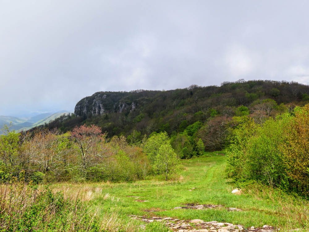
First you’ll pass through Jones Meadow, a large clearing parallel to the Appalachian Trail and the site of the former Viking Mountain Resort. The access road ends at the old resort site, with wonderful views of Camp Creek Bald and the Blackstack Cliffs. You’ll then hike over to the Blackstack Cliffs with equally impressive views. From here you can turn around, or continue north on the Appalachian Trail to Big Firescald Knob. The extra mileage is worth it. The long, exposed ridgeline on Big Firescald Knob has tremendous 360° views of the Bald Mountains, Black Mountains, Great Craggy Mountains, and Cumberland Plateau. On your return you’ll be treated to a nice stop at Whiterock Cliff before the lengthy trek down to the parking area. This route is perfect for a weekend backpacking trip, but sturdy hikers will relish the opportunity to see so many sights in one long day.
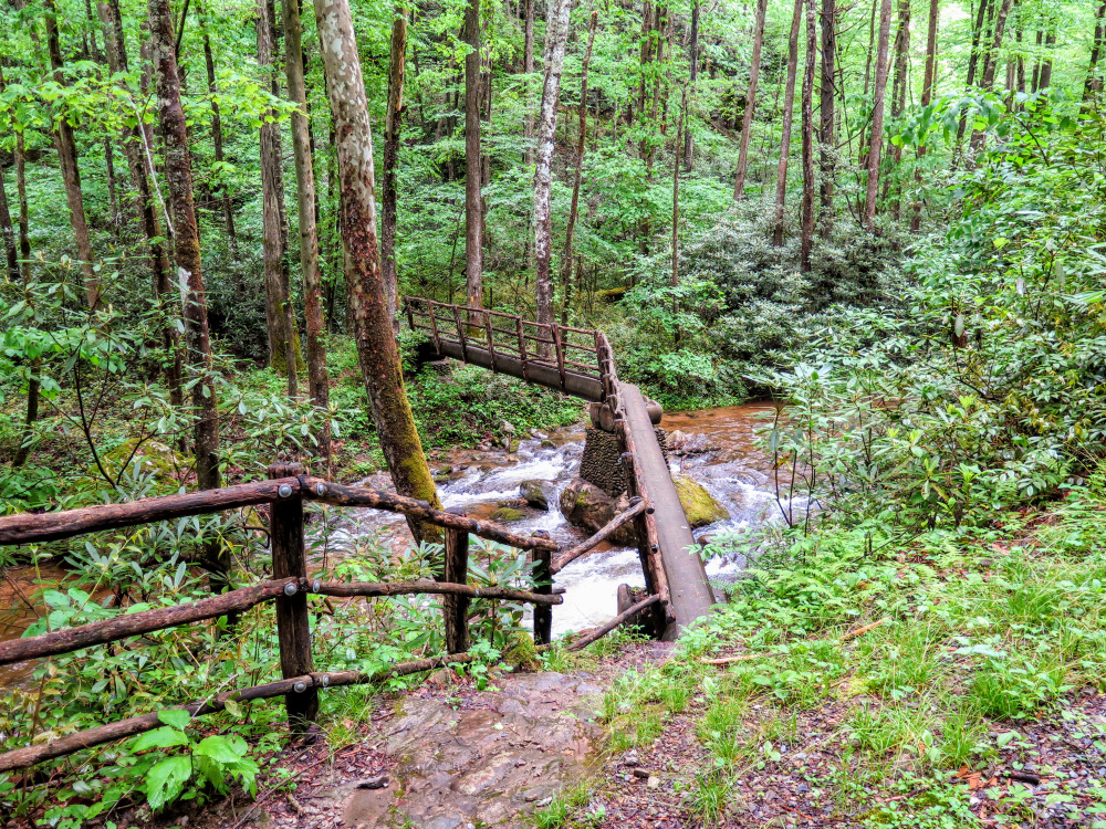
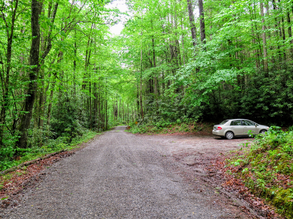
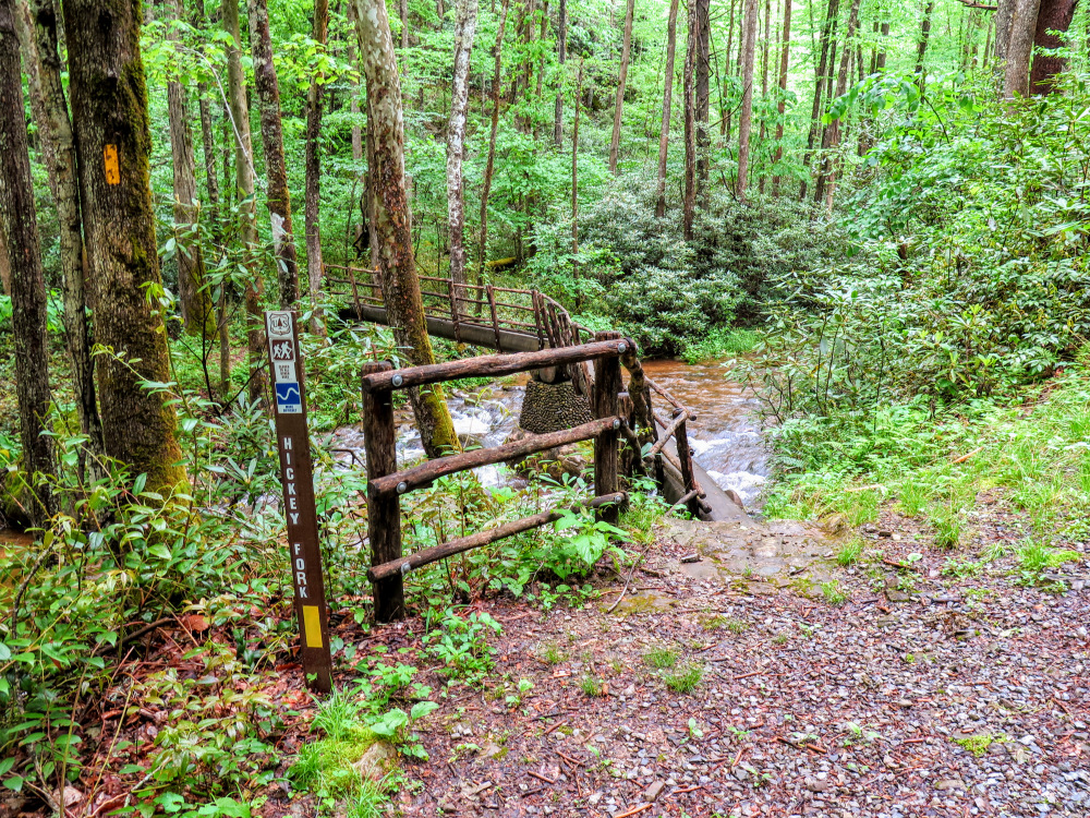
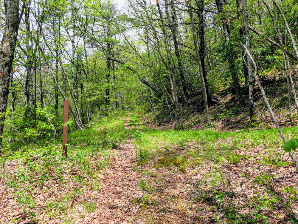
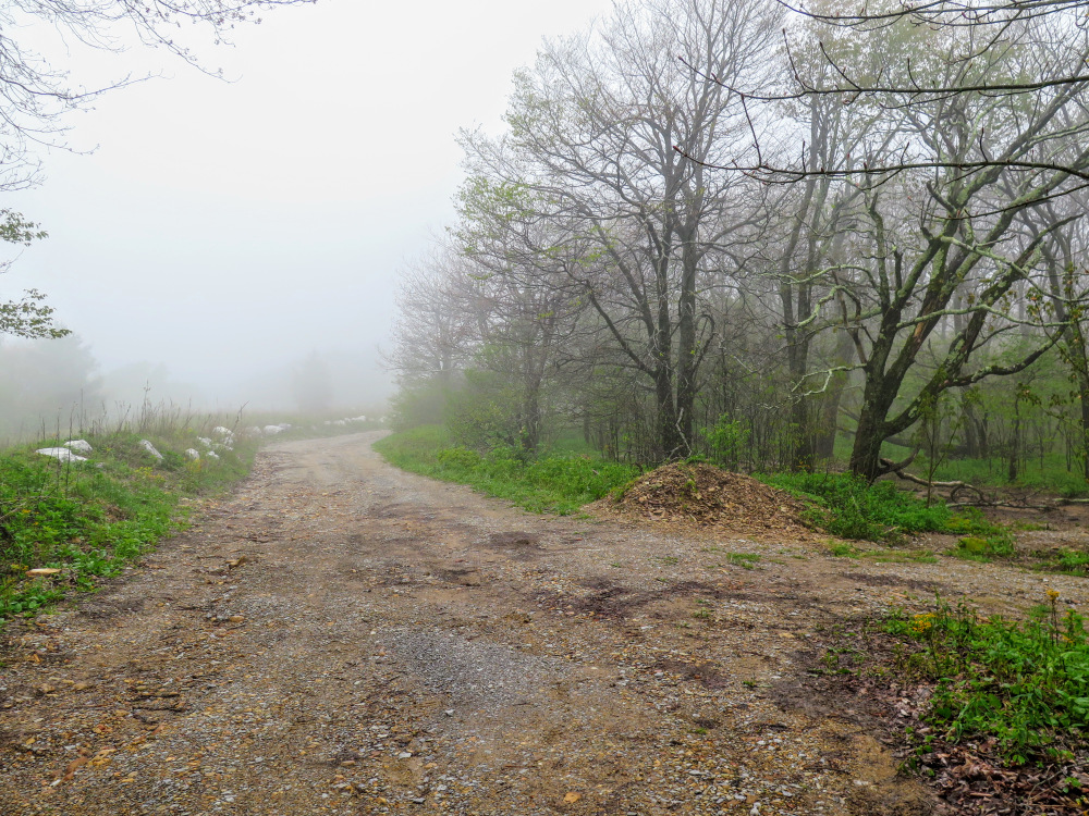
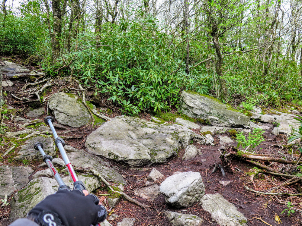
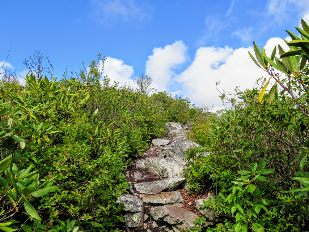
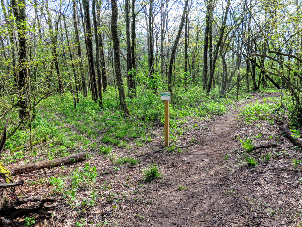
- Mile 0.0 – A small parking area is located near the gate on FR 465/Hickey Fork Rd. The Hickey Fork Trail [292] (yellow blaze) begins just past the gate on the left and immediately crosses East Prong Hickey Fork. This single-rail wooden bridge is narrow and quite slippery when wet, please use caution.
- Mile 0.4 – Rock hop a tributary of West Prong Hickey Fork.
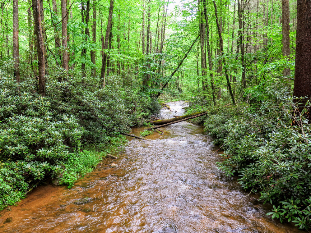
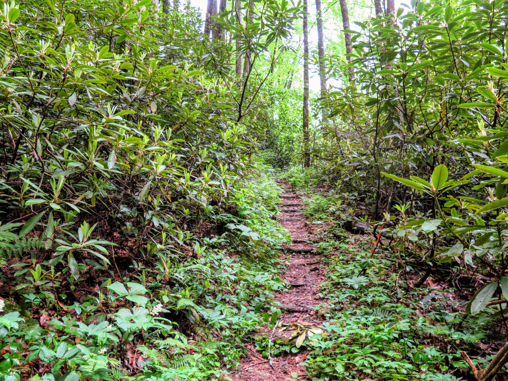
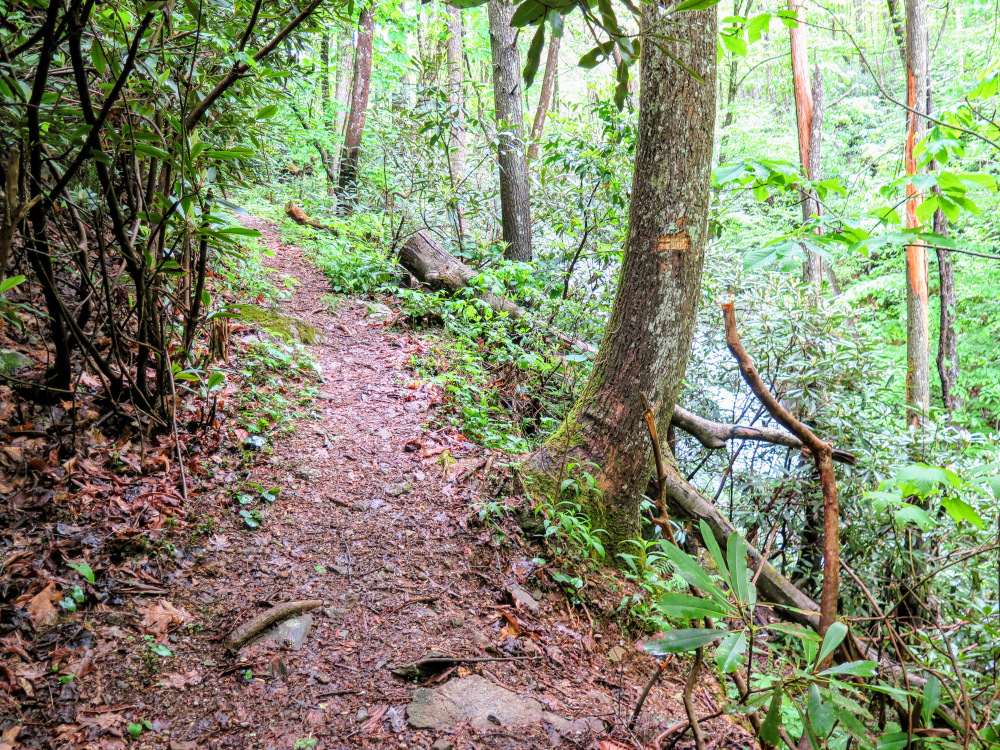
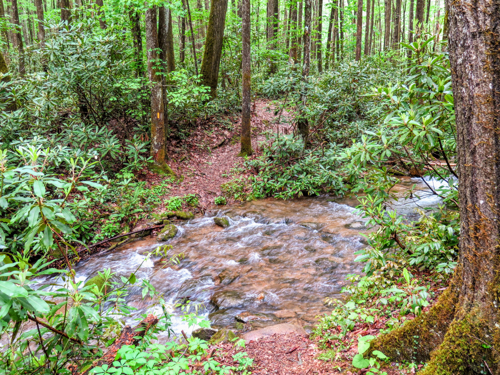
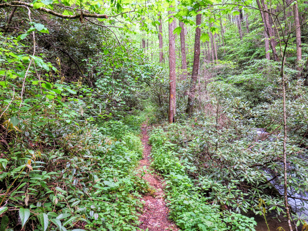
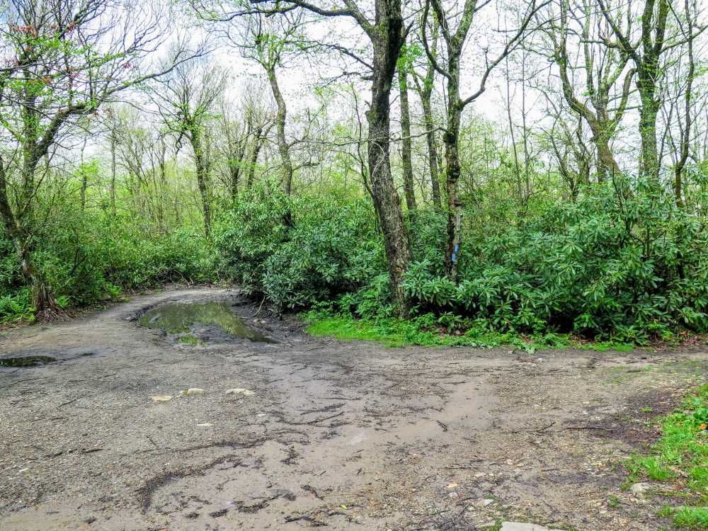
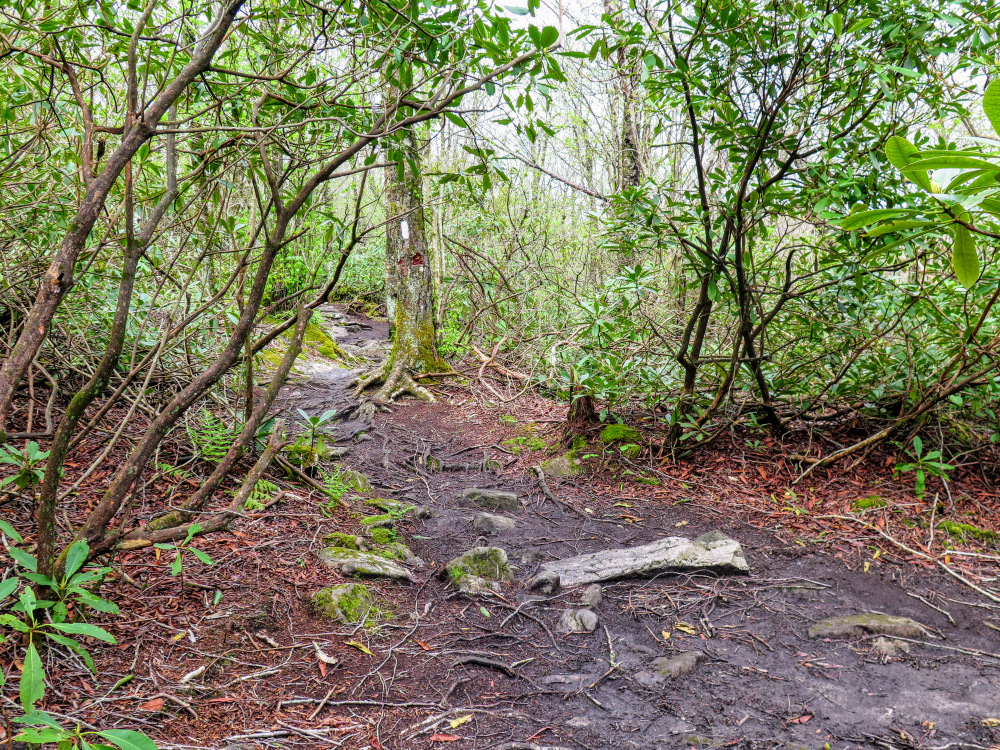
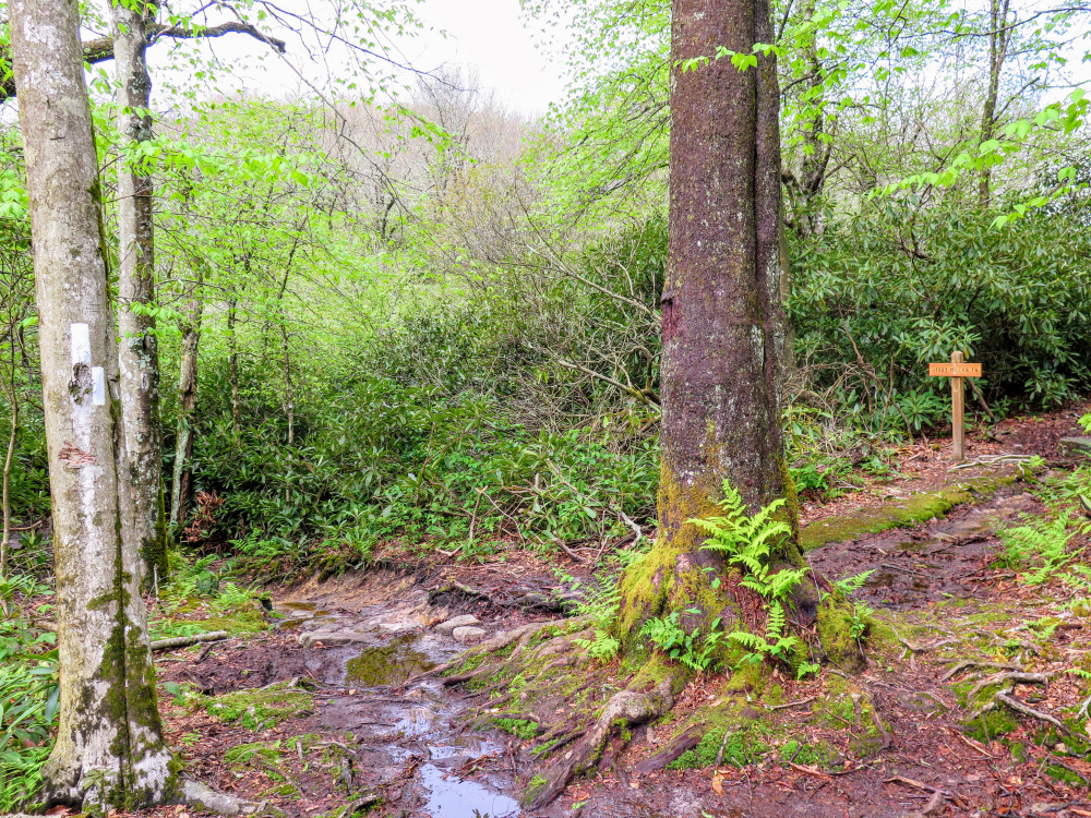
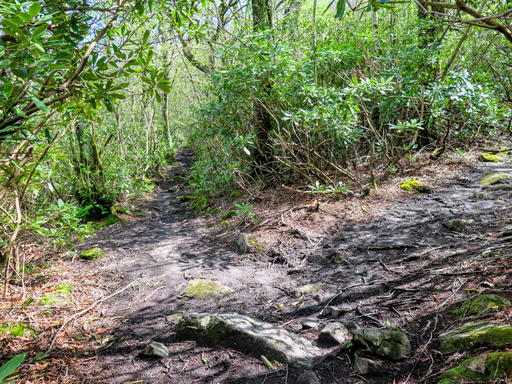
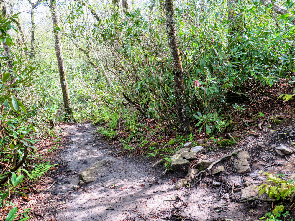
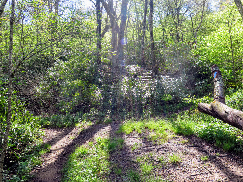
- Mile 0.6 – Rock hop West Prong Hickey Fork. When the water level is above normal this will likely be a wet ford. After the crossing the Hickey Fork Trail closely parallels the creek on a narrow trail through a verdant jungle of rhododendron.
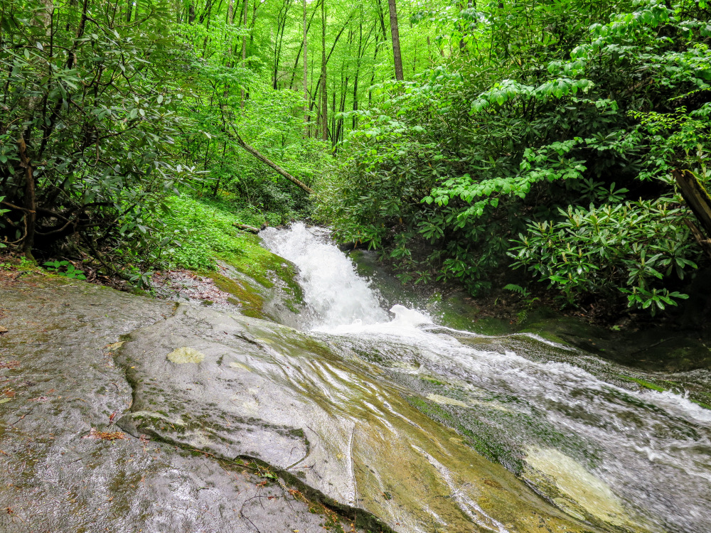
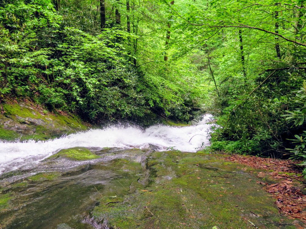
- Mile 1.3 – Pass beside the top of a large slide waterfall on West Prong Hickey Fork. This slide is around 50 feet tall. However, the base is choked by rhododendron and difficult to access. The only sensible view is from the rocks near the top, which are covered in moss and are dangerous.
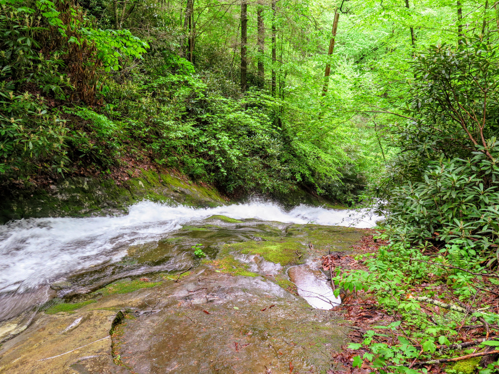
- Mile 1.5 – A steep scramble path on the right leads down to West Prong Hickey Fork Falls. The 25-foot waterfall lies at the head of a horseshoe-shaped gorge where multiple streams converge. There are other waterfalls on these side streams, but they are low-flow and blocked by thick rhododendron.
- Mile 2.0 – The trail turns left leaving West Prong Hickey Fork. You’ll climb steeply beside a small branch.
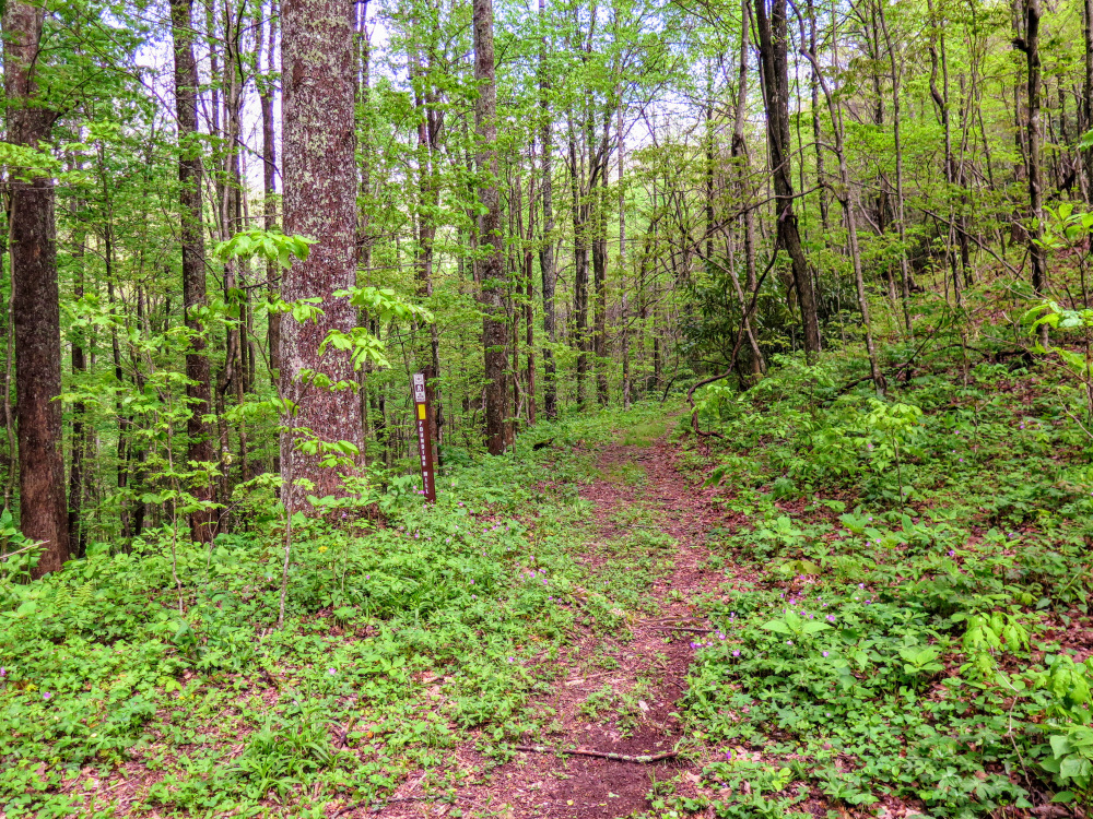
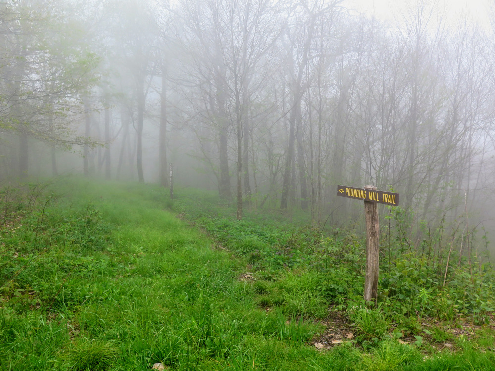
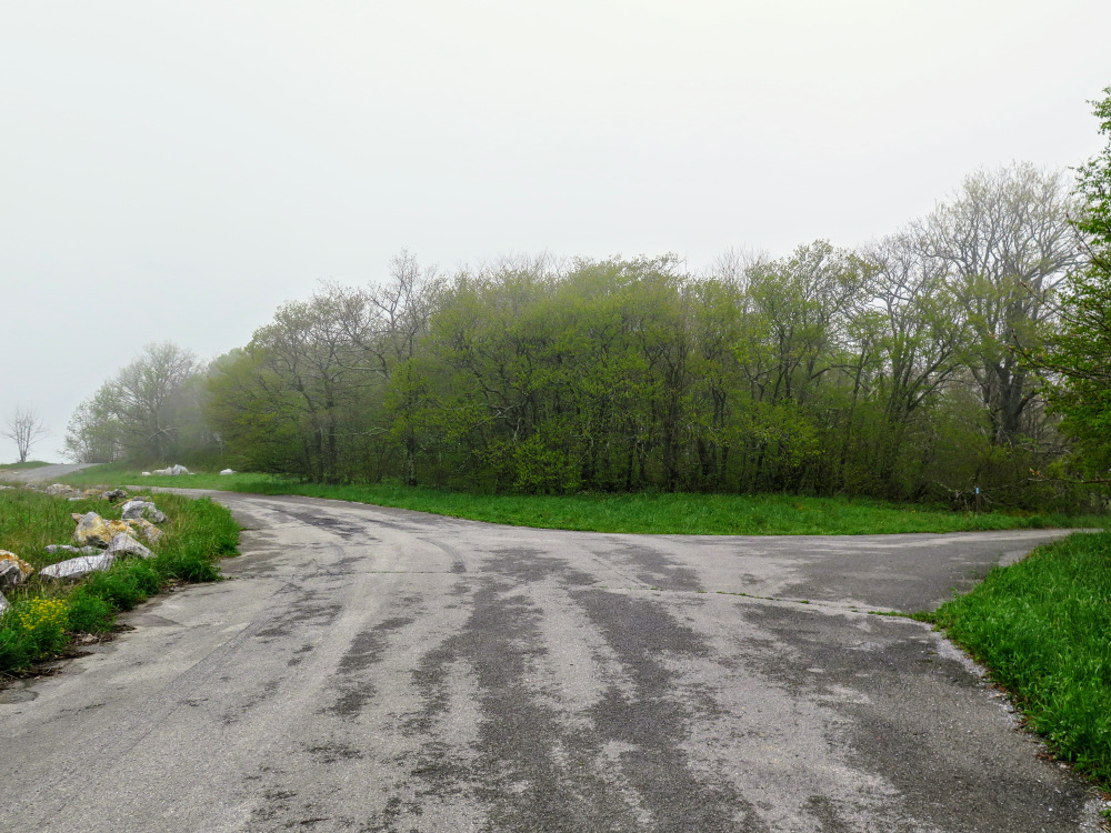
- Mile 2.7 – The Hickey Fork Trail ends at a cross junction with the Pounding Mill Trail [297] (yellow blaze) at Seng Gap. Turn right following the trail uphill, which follows an old forest road grade.
- Mile 3.4 – T-junction with the White Oak Trail [293] (blue blaze) on the right. As you climb Seng Ridge the environment changes to sparse hardwood forest.
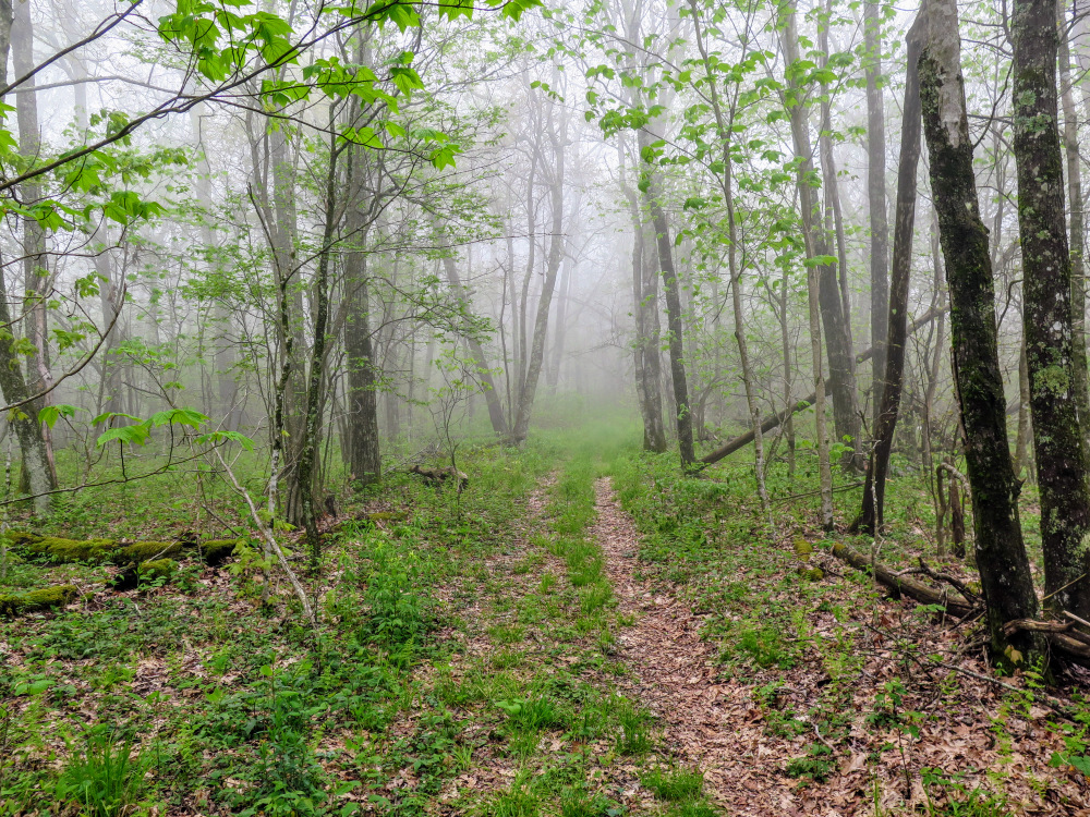
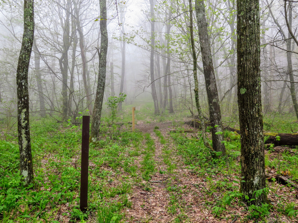
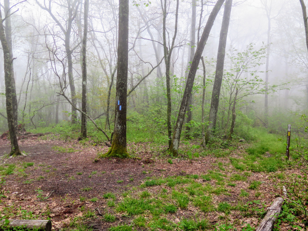
- Mile 4.9 – Cross junction with the Appalachian Trail (white blaze). Continue straight on the Pounding Mill Trail.
- Mile 5.1 – The Pounding Mill Trail brushes against the AT separated by a campsite.
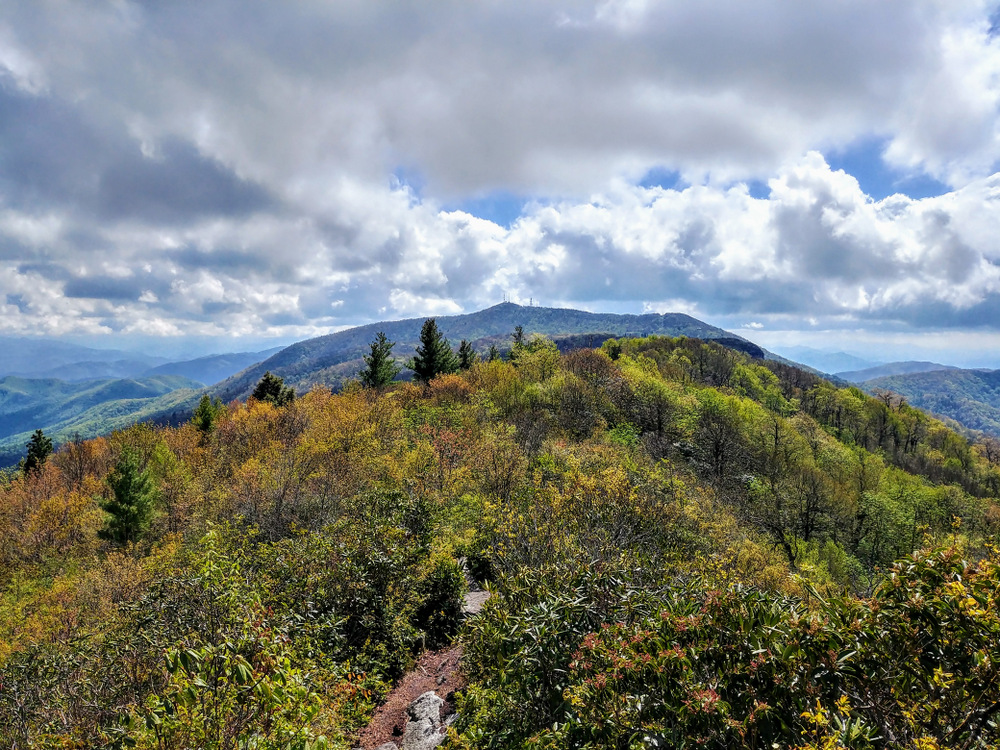
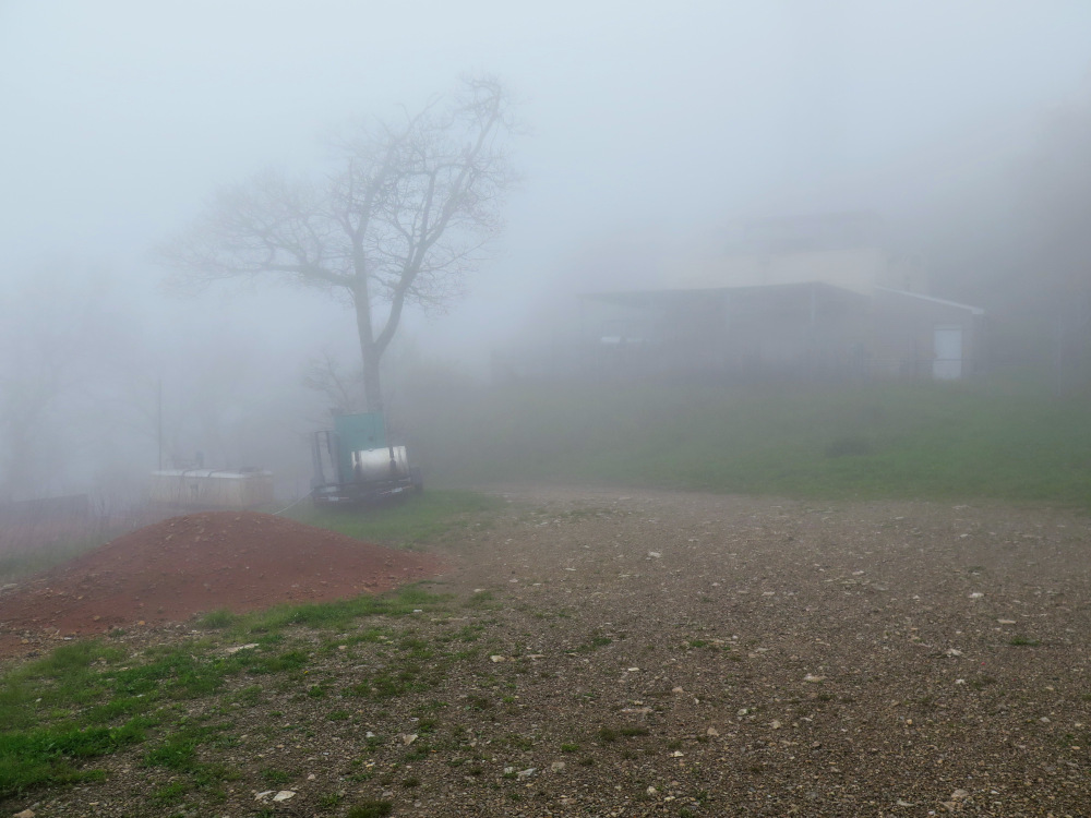
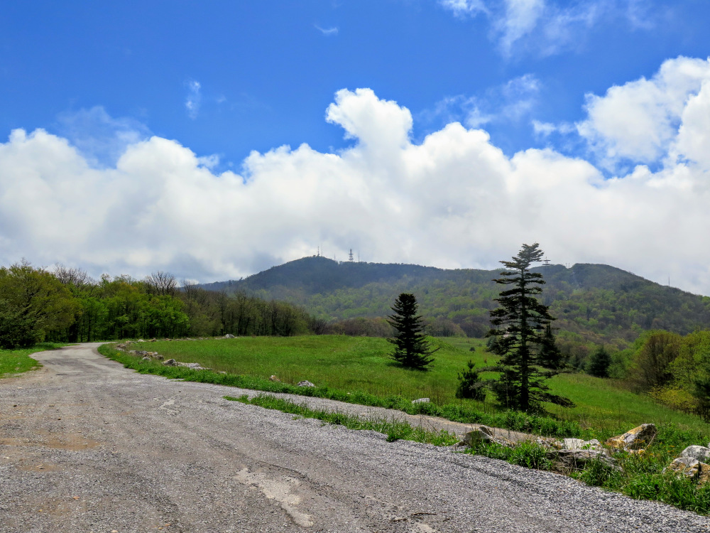
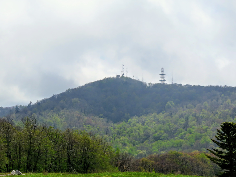
- Mile 5.2 – The trail ends at the summit road and buildings on Camp Creek Bald. Follow the gravel road around the left side of the communication complex.
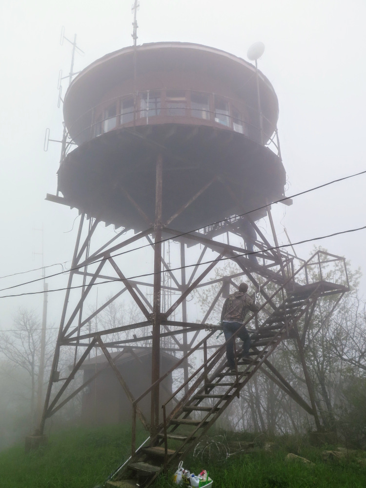
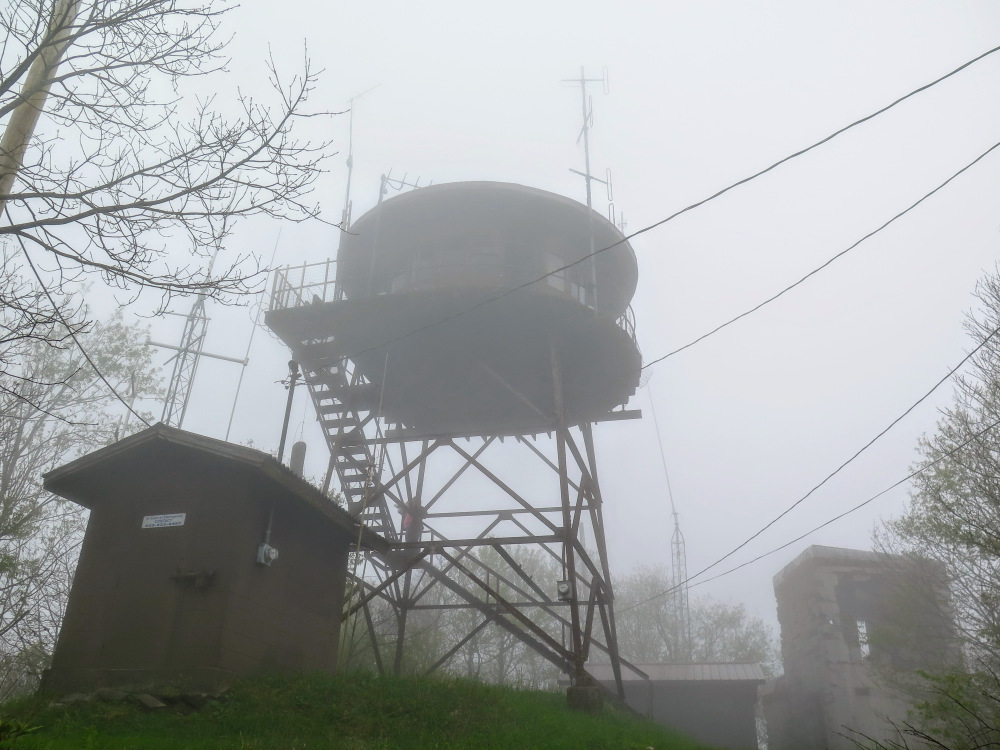
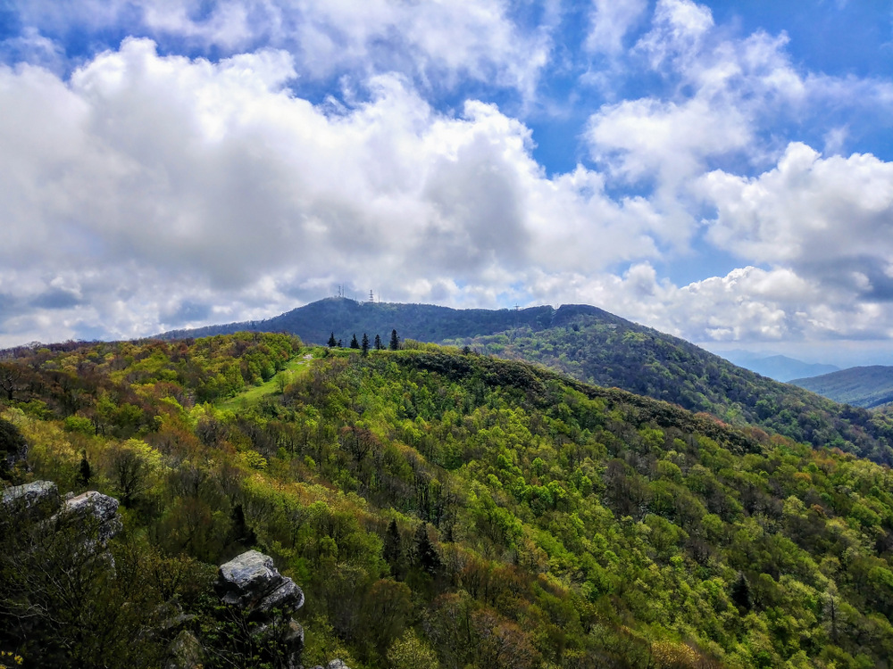
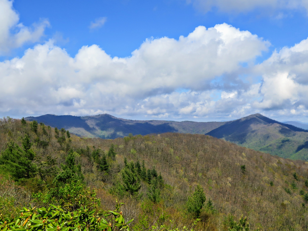
- Mile 5.3 – A steep, gravel road on the right leads to the summit of Camp Creek Bald (4,844 feet). The odd circular 21-foot steel live-in tower was built in 1928, making it the oldest original lookout tower remaining in the state. You won’t get any views from the summit, which is surrounded by trees and communication structures. The tower catwalk entrance is typically locked, but you can climb the stairs to get decent views. Due north lies the city of Greenville beyond the lesser Bald Mountains. The most prominent peaks east and northeast are Green Ridge Knob and Gravel Knob, respectively. Big Bald and the Roan Highlands are further east. The AT follows the prominent ridgeline, including Big Firescald Knob, connecting Camp Creek Bald to these peaks. In the distant southeast you can see the Black and Great Craggy Mountains on a clear day. Rich Mountain is the largest peak to the south, also the home of a lookout tower. Continue north on FR 42/Bald Mountain Rd. Although you can backtrack to the AT, this would be a longer hike. The forest road is faster and eventually reconnects with the AT.
- Mile 6.2 - T-junction with a blue-blazed spur trail to the AT on the right.
- Mile 6.3 – FR 42 becomes paved and turns left . Continue straight on the blue-blazed paved extension through Jones Meadow.
- Mile 6.6 – The main blue-blazed paved road turns right. Turn left towards the cul-de-sac.
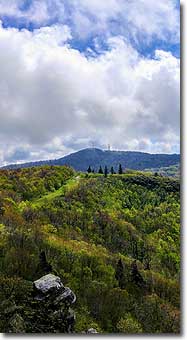
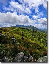
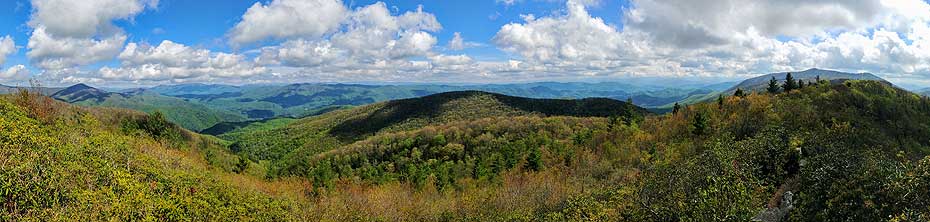
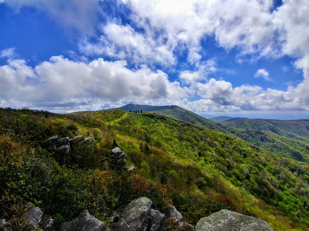
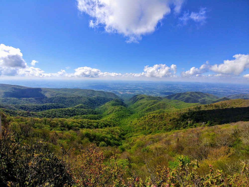
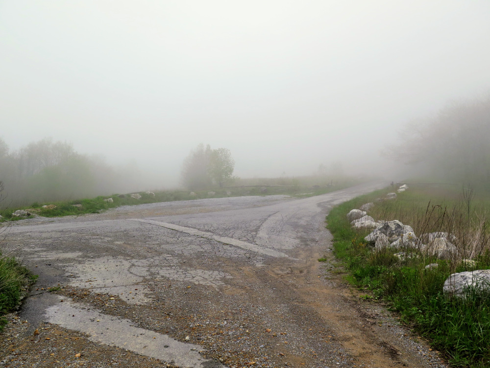
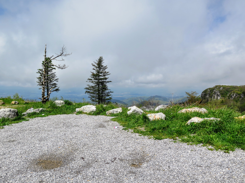
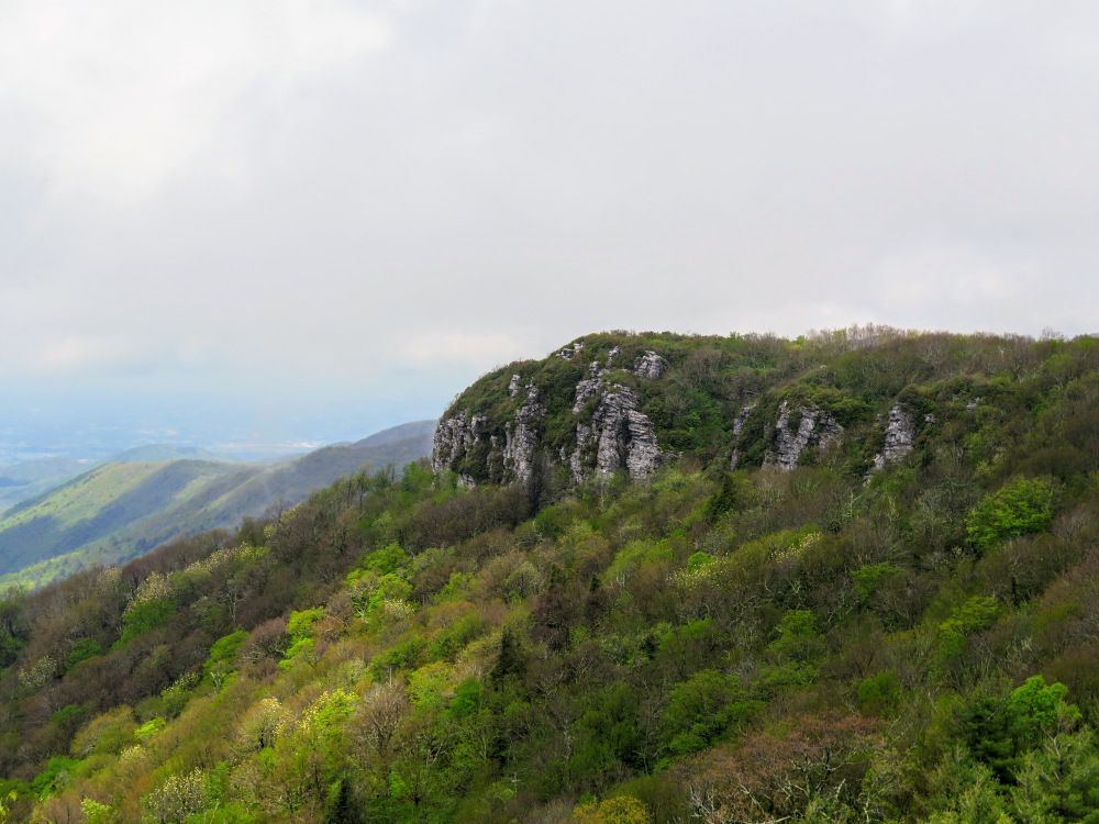
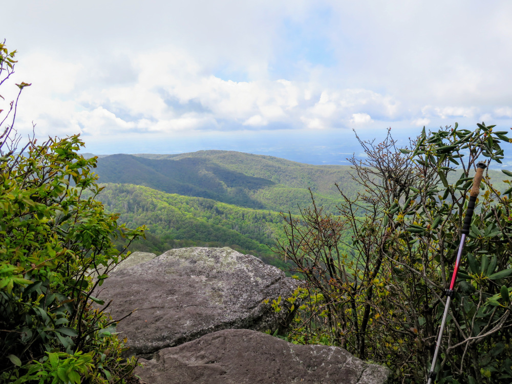
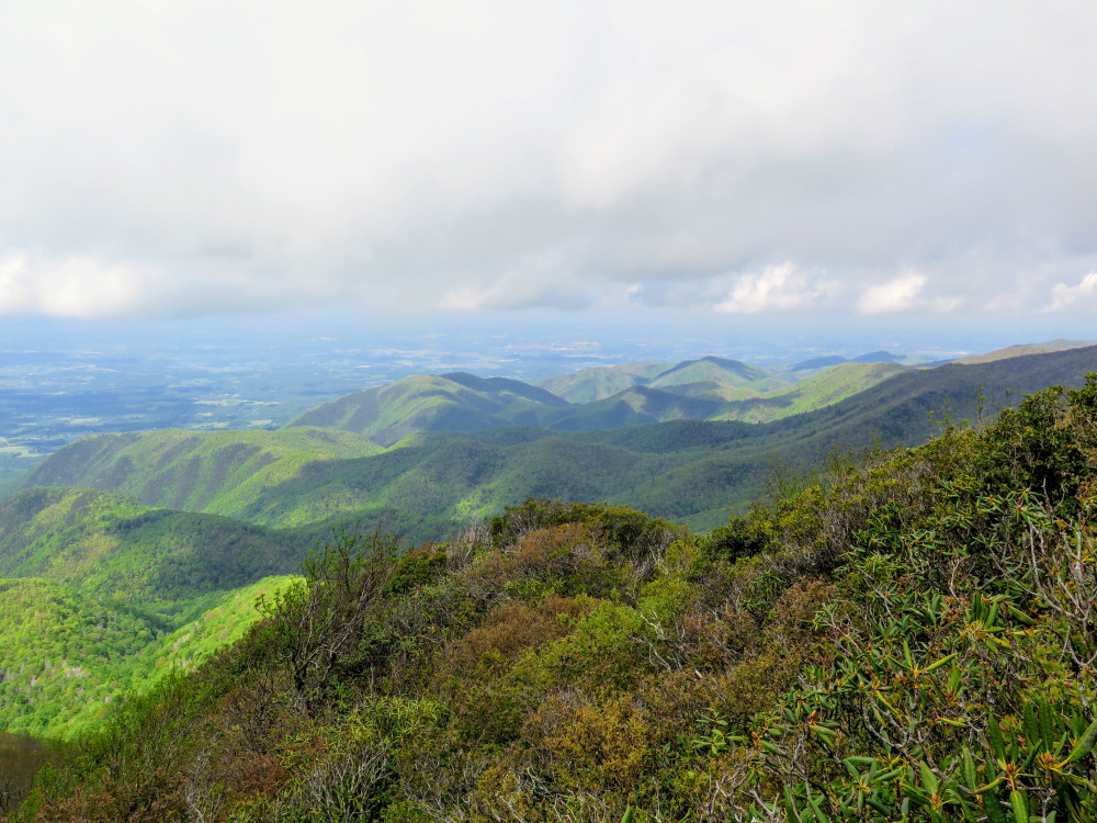
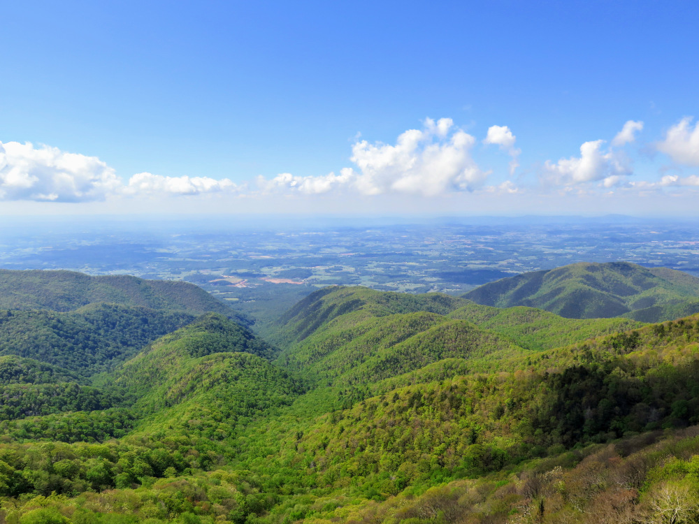
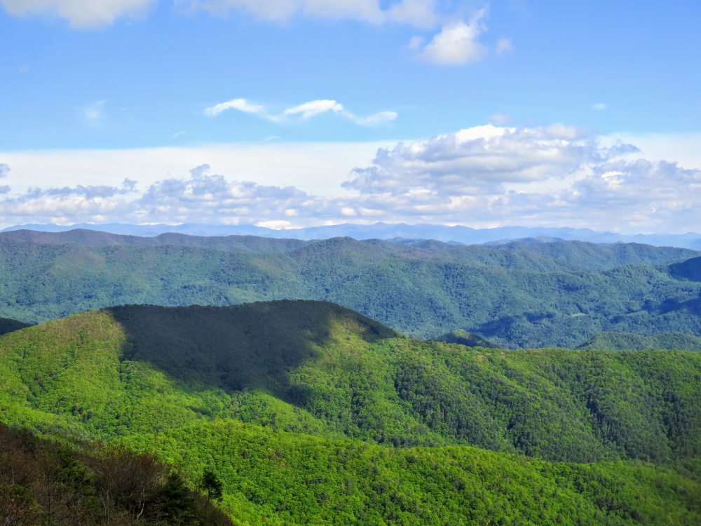
- Mile 6.7 - The road ends at a picnic area on Little Firescald Knob, the former site of the Viking Mountain Resort. From here you have expansive views from south to north. The wide profile of Camp Creek Bald looms to the south, marred by many communication towers. The lookout tower is one of the smallest visible structures on the left side. Immediately northeast the impressive Blackstack Cliffs loom over a grassy saddle.
- Mile 6.8 – Rejoin the blue-blazed paved road heading north.
- Mile 6.9 – Cross intersection with a blue-blazed spur trail on the right. Continue straight. Ignore the rugged forest road leading down to the left.
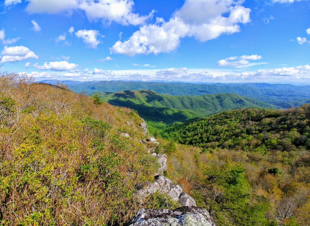
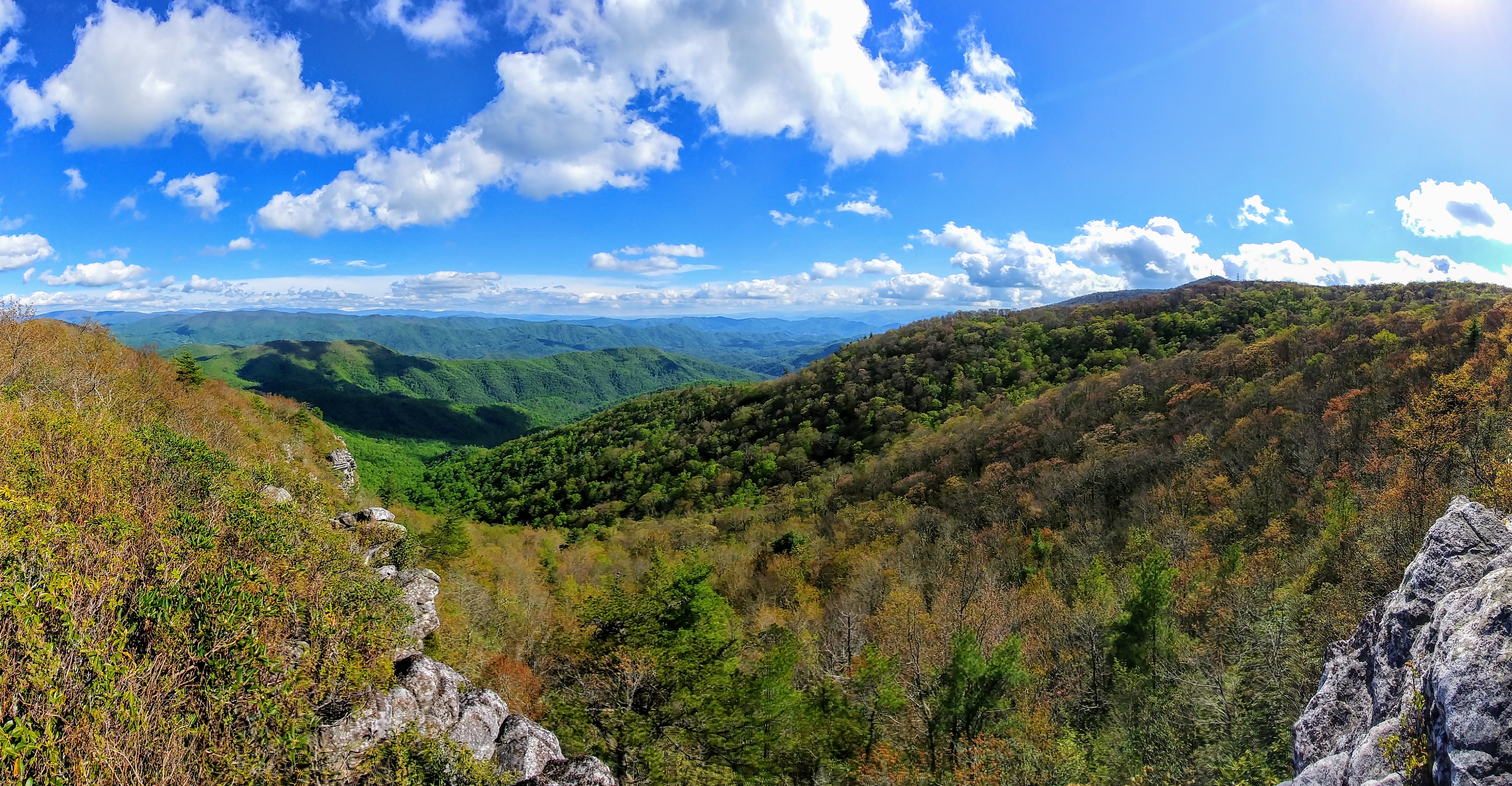
- Mile 7.0 – Blue-blazed road ends at the Appalachian Trail (white blaze), turn left. In approximately 150 feet look for an obvious side trail on the left which leads to the Blackstack Cliffs.
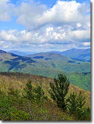
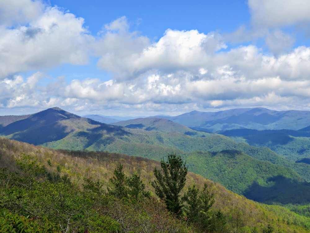
- Mile 7.1 – The side trail ends at the Blackstack Cliffs with open views from south to north. From the small viewing area choked by mountain laurel and rhododendron you have outstanding views of Camp Creek Bald rising above Jones Meadow to the southwest. The exit notch of the Dry Creek Gorge is clearly visible to the north while the Sampson Mountain Wilderness lies further northeast.
- Mile 7.2 – Rejoin the AT and turn left heading north.
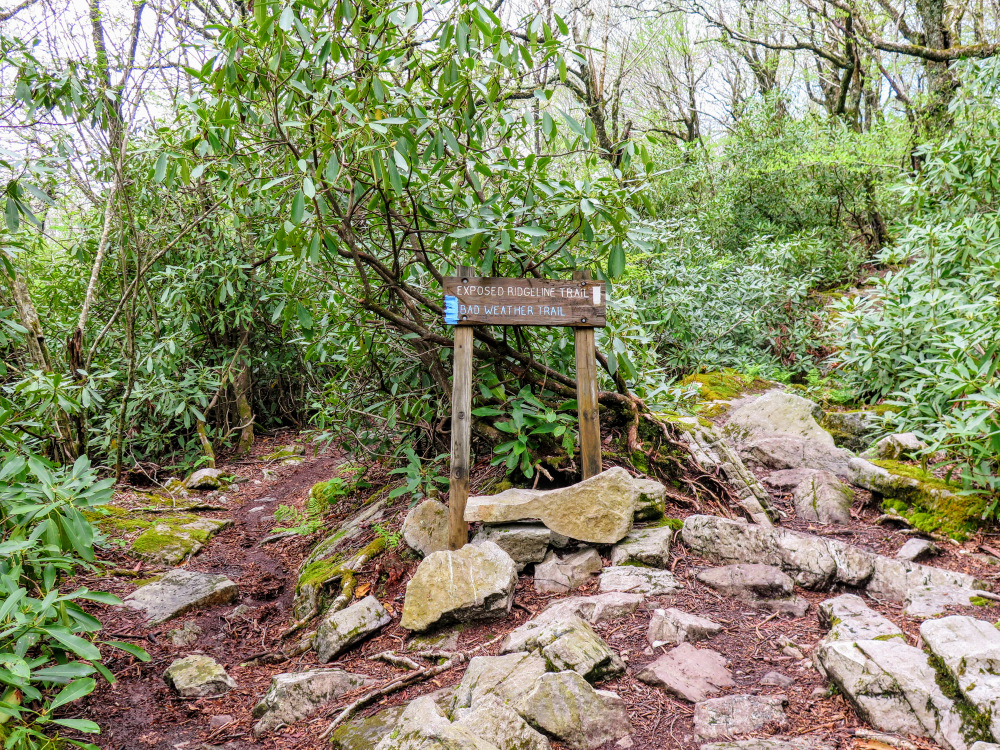
- Mile 7.3 – Veer left at a Y-junction with the Jerry Miller Trail [286] (yellow blaze) at Bearwallow Gap.
- Mile 7.4 – Veer right at a Y-junction with the blue-blazed bad weather bypass trail.
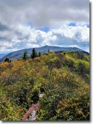
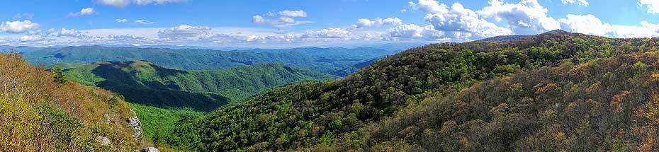
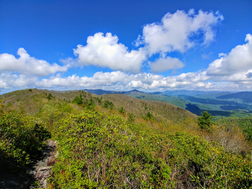
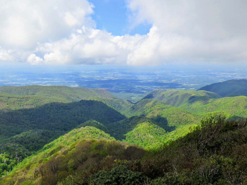
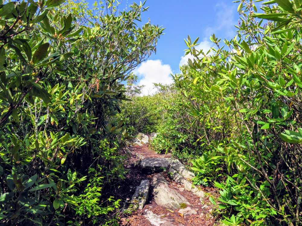
- Mile 8.0 – The AT emerges from thick mountain laurel and crosses the spiny crest of Big Firescald Knob (4,520 feet). From this long, exposed ridgeline you have 360° views of the region. The AT continues northeast, curving around the Shelton Laurel Creek watershed. The prominent horseshoe crest rises highest at Gravel Knob and Green Ridge Knob before dropping into Devil Fork Gap. Further northeast the massive Big Bald rises high above Sams Gap and the I-26 corridor, the tallest peak in the Bald Mountains. On clear days you may be able to see Unaka Mountain and the Roan Highlands in the distant northeast. The dominant crest of the Black Mountains spans the southeast horizon, the slightly smaller Great Craggy Mountains continue further to the south. Camp Creek Bald looms to the southwest, blocking open views of the Bald and Newfound Mountains. The elevation drops nearly 3,000 feet to the west into Tennessee. Dry Creek exits a gorge through a deep notch immediately below Big Firescald Knob. After enjoying the views, turn around and head south on the Appalachian Trail.
- Mile 9.1 – At the junction with the blue-blazed road stay left on the AT. You’ll pass another blue-blazed connector in 100 feet.
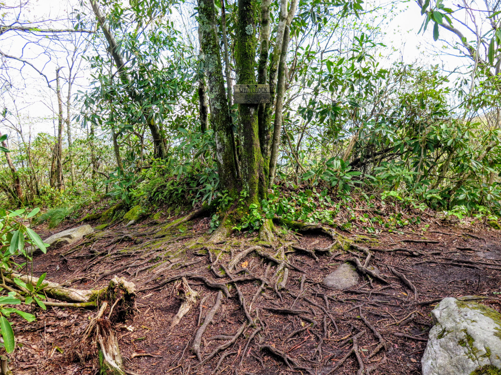
- Mile 9.2 – Turn left on a side trail to Whiterock Cliff.
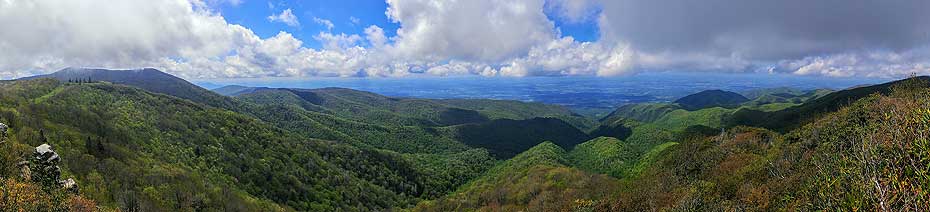
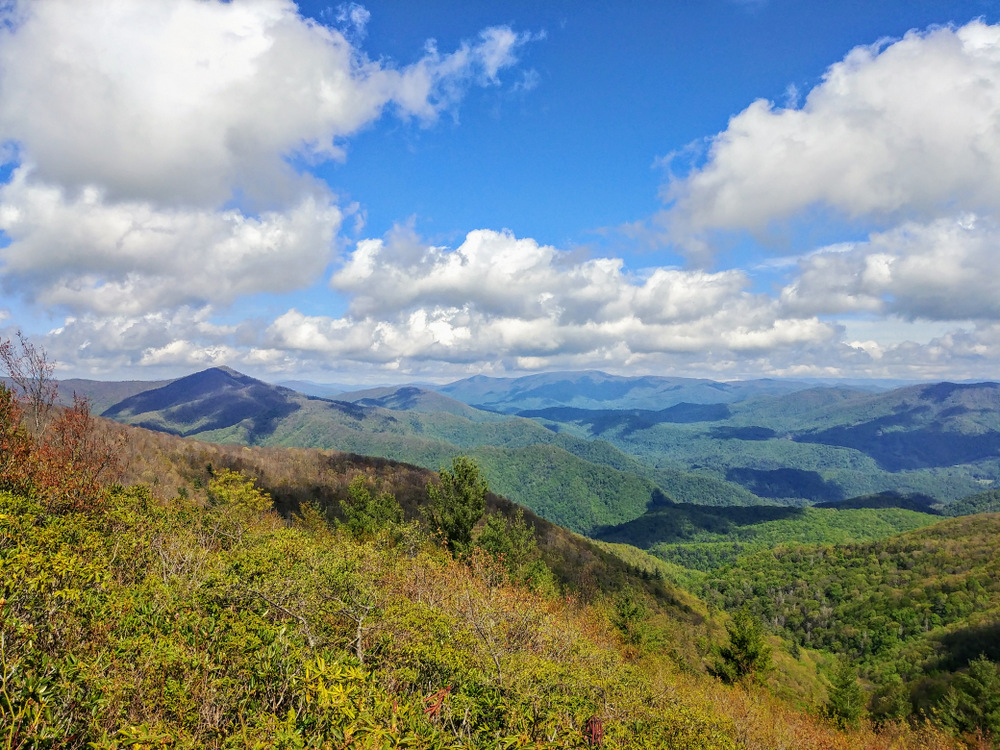
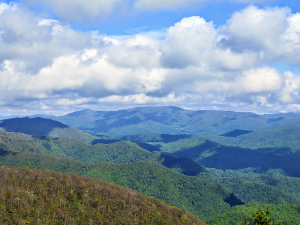
- Mile 9.25 – The short trail ends at Whiterock Cliff, a series of south-facing outcrops rising high above the headwaters of East Prong Hickey Fork with expansive southeast views. The Black and Great Craggy Mountains are usually visible in the distant east. Camp Creek Bald rises thousands of feet above the Hickey Fork watershed. Return to the Appalachian Trail and continue south.
- Mile 10.2 – T-junction with a blue-blazed trail to Jones Meadow on the right.
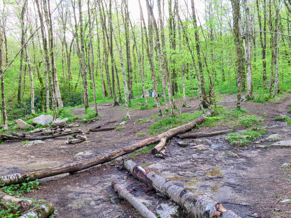
- Mile 10.3 – Large campsites on the left side of the trail.
- Mile 11.0 – Cross junction with the Pounding Mill Trail [297] (yellow blaze). Turn left heading back down towards West Prong Hickey Fork.
- Mile 13.5 – Turn left on the Hickey Fork Trail [292] (yellow blaze) at Seng Gap.
- Mile 15.7 – Hike ends at FR 465.
|

