
|
 By Trail Contributor: Zach Robbins (Contact Zach) By Trail Contributor: Zach Robbins (Contact Zach)
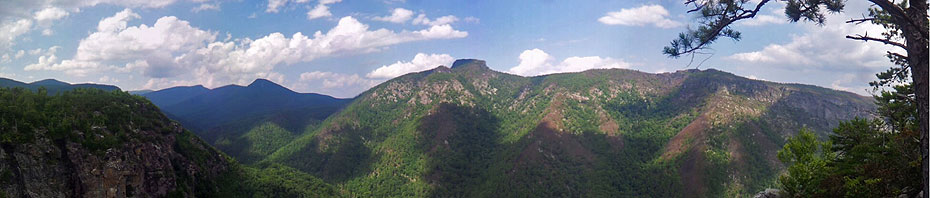
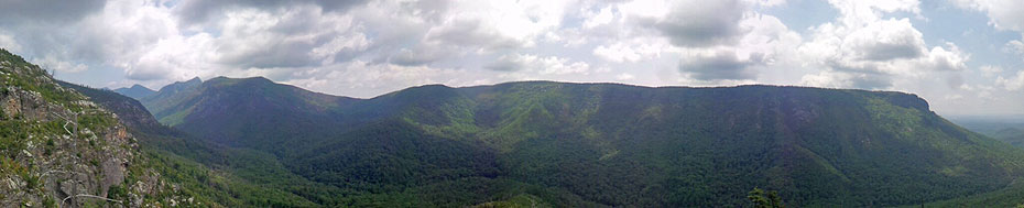
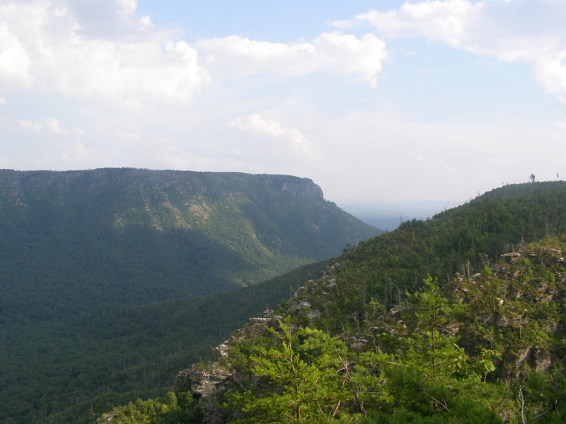
Linville Gorge is described as some of the most rugged terrain in the East and is nicknamed “The Grand Canyon of North Carolina.” The gorge is the deepest on the East Coast at 1,400 feet, and boasts many rugged, scenic trails in the third largest wilderness in North Carolina. Most people only visit Linville Falls at the north entrance of the gorge, some make it up the paved road to Table Rock Mountain or the rough gravel road to Wiseman’s View. The trails however are primitive and isolated. With most of the trails in the gorge, it is difficult to make a loop hike without a long road walk.
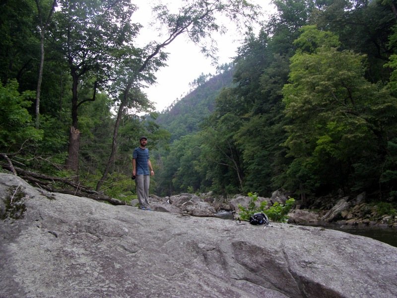
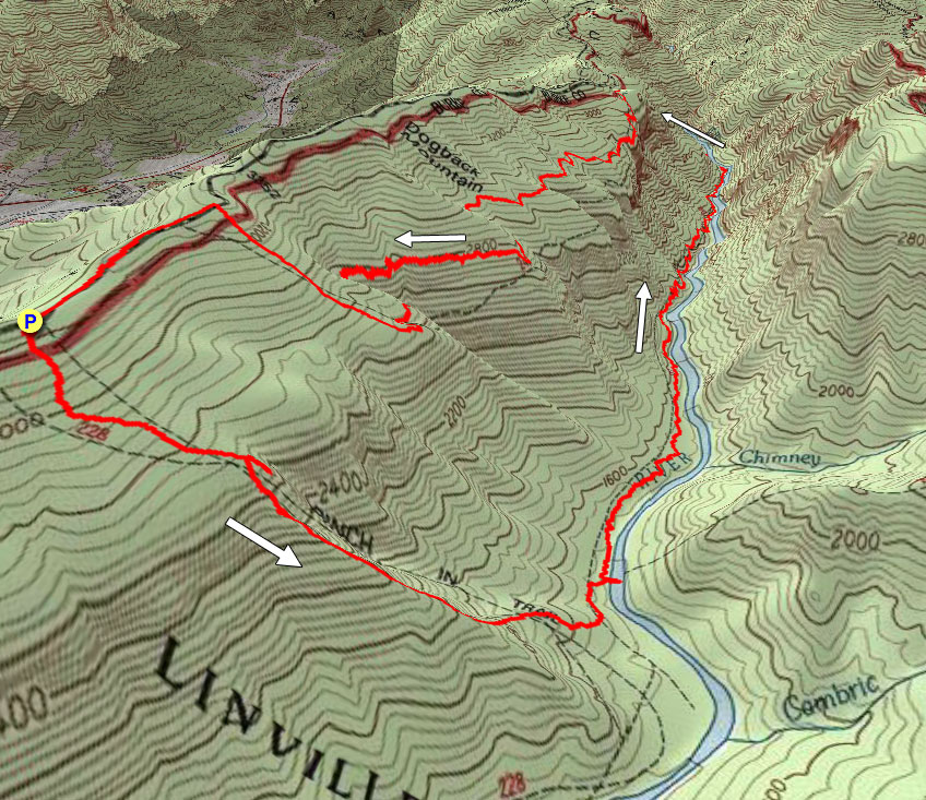
This hike combines rugged, remote trails along the Linville River and the towering ridges above it for a difficult full day. The southwest portion of the gorge is not heavily visited, but has many views from different angles of Table Rock Mountain, The Chimneys, and Shortoff Mountain. Fair warning, this hike is not for the faint-hearted. It is difficult, remote, and overgrown with shrubs in many sections. Only hikers with above average experience and navigation should try this loop. Mileage is slow in the gorge, what may look like a 2-2.5 mph stretch quickly becomes 1-1.5 mph even for strong hikers. You will be rewarded with many views in a gorge that is reminiscent of canyons in the Rockies.
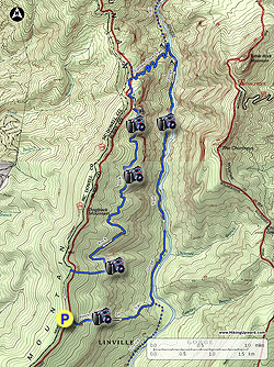
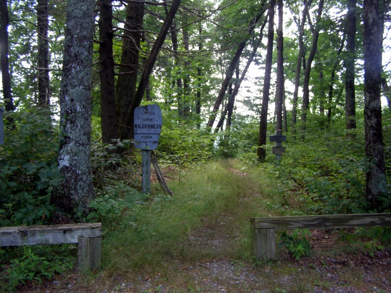
The park is accessed by taking Old NC Highway 105 north (also called Kistler Memorial Highway) from NC-126. Drive on Old NC 105 for 7.4 miles to the Pinch In parking area. After approximately 2 miles the road turns to a gravel/dirt forest road. This road is well-graded and manageable for 2-wheel drive vehicles. After passing the first obvious parking area on the right for the Pinnacle, continue another 2 miles to the next obvious parking area for Pinch In. There are about 15 spots for cars. The Pinch In Trail starts at the east side of the lot. You can also get to the trail head by taking Old NC 105 south from NC-183 for 8.2 miles. The forest road is much rougher and steeper coming from the north.
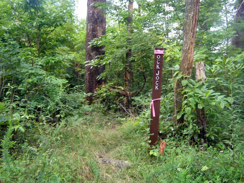
Caution – This loop is difficult and many trails are overgrown and steep and/or rocky. None of these wilderness trails are blazed, there are occasionally signs at trail intersections. Carrying a topographic map or GPS is strongly advised. The Rock Jock Trail, 1/3 of this loop, is rarely used and has many sections completely overgrown with shrubs and is difficult to follow in multiple spots. This is not the trail to start in the late afternoon hours. It is suggested to hike this loop in reverse, starting with the Rock Jock Trail. A car shuttle from Pinch In to Conley Cove is a much easier option. This allows more time for exploration along the river, and can include a quick out-and-back to Fern Point on the Rock Jock Trail.
Wilderness Rules & Camping – Since this is wilderness, groups for day hiking and camping are restricted to a maximum of 10 people. There are many flat backcountry campsites along the river. Wilderness camping permits are needed May 1-October 31. There are also flat campsites along the Pinch In Trail and Rock Jock Trail, but these have limited access to water. Permits are not needed for day hiking. Information about permits can be found here.
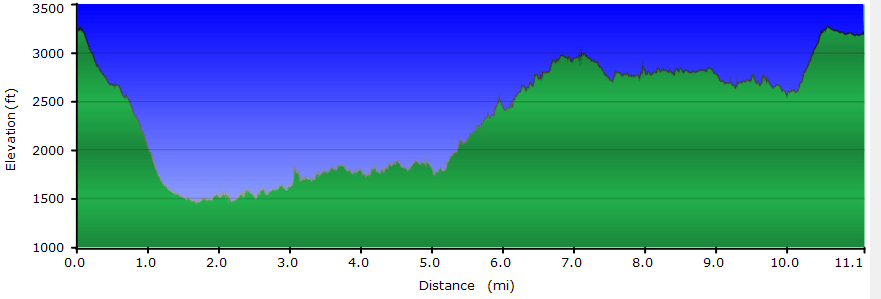
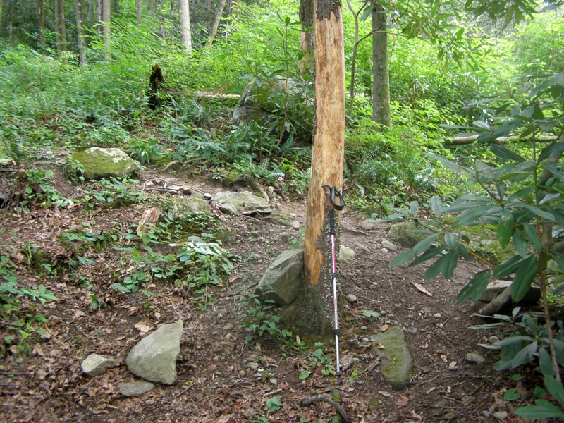
- Mile 0.0 – Begin at Pinch In trailhead parking. The Pinch In Trail drops steeply off the mountain to Linville River. The descent is 1,758 feet in 1.5 miles, or 1,172 ft/mi.
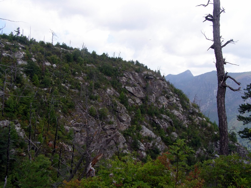
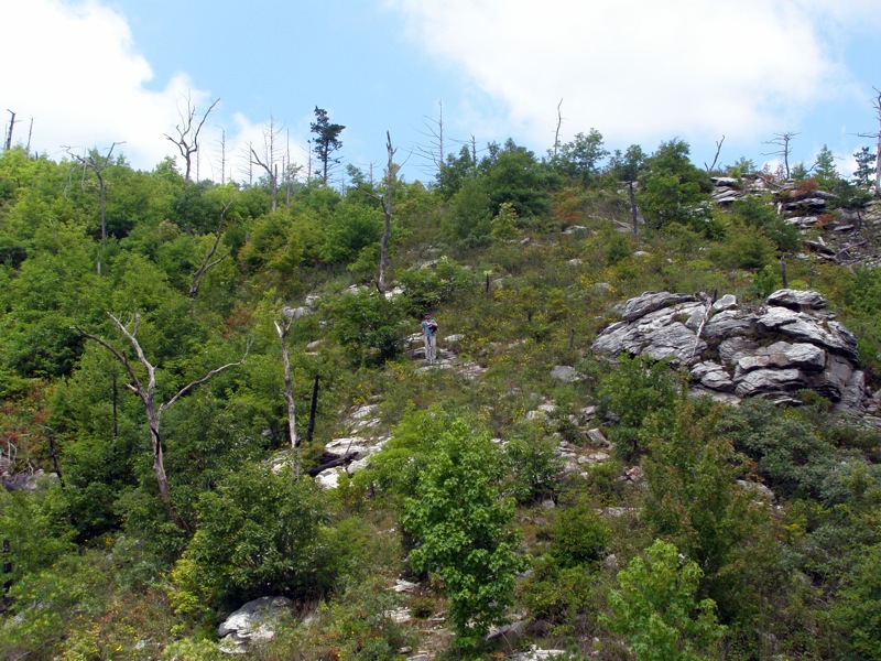
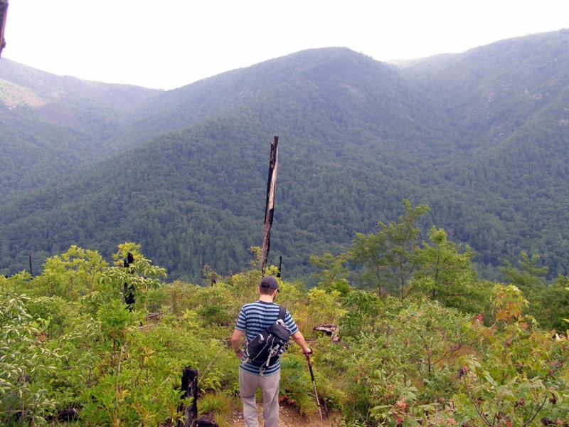
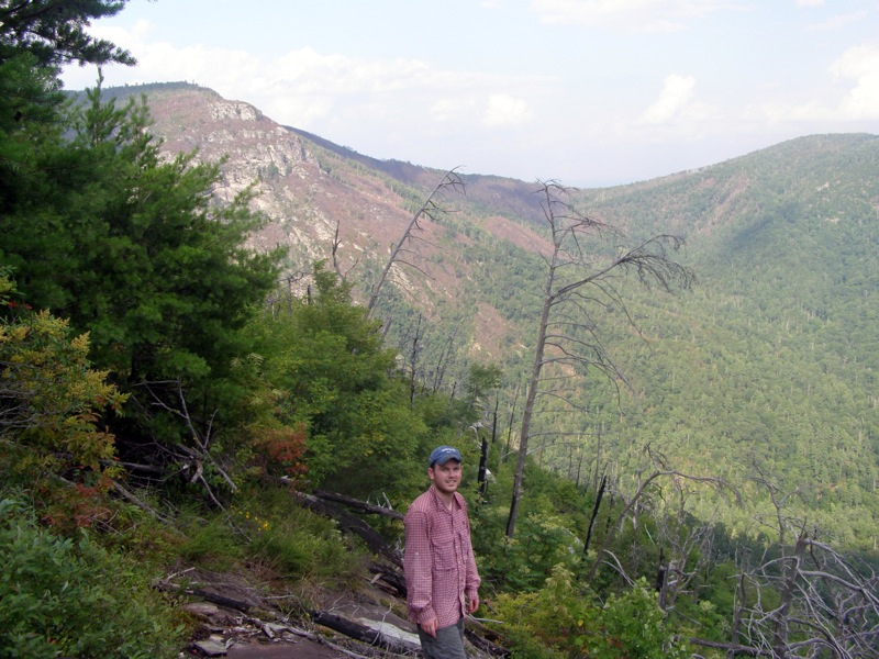
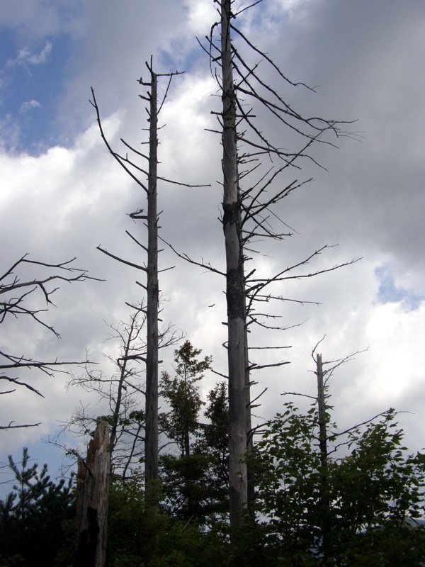
- Mile 0.3 – After leaving the forest, the trail descends through wide open canopy. The lack of tree cover is due to multiple fires that have scarred this section of the gorge.
- Mile 0.5 – Unmarked side trail on the left, go left for a quick detour to a campsite and a rock outcrop overlooking the gorge. Return to Pinch In Trail.
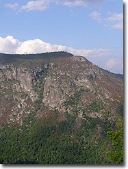
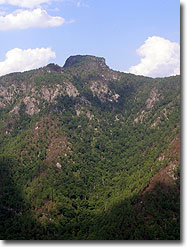
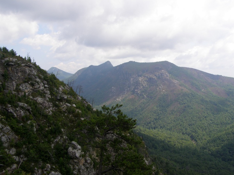
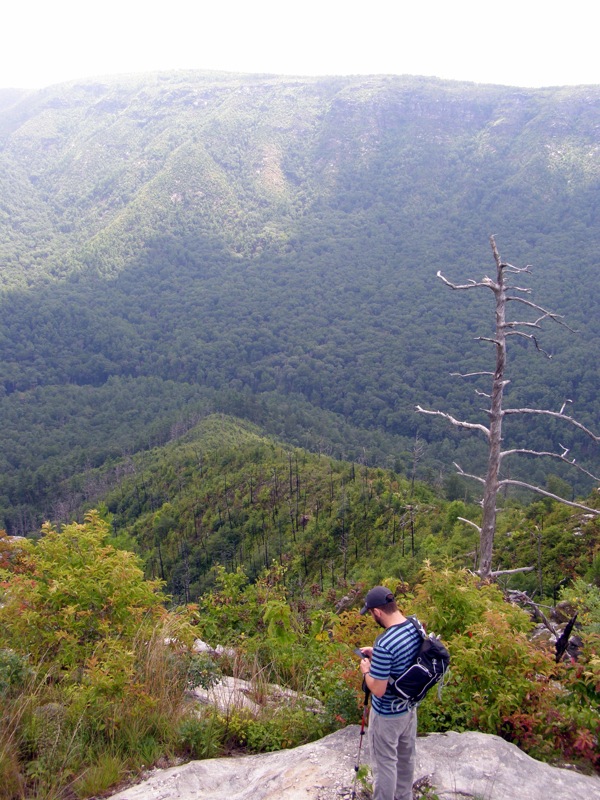
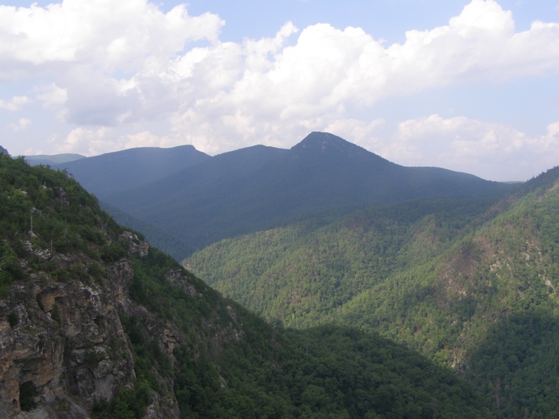
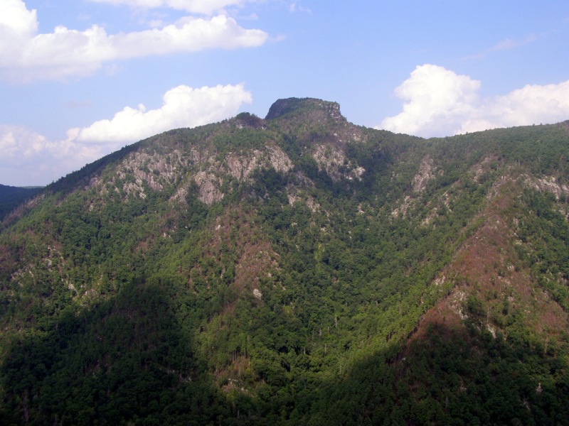
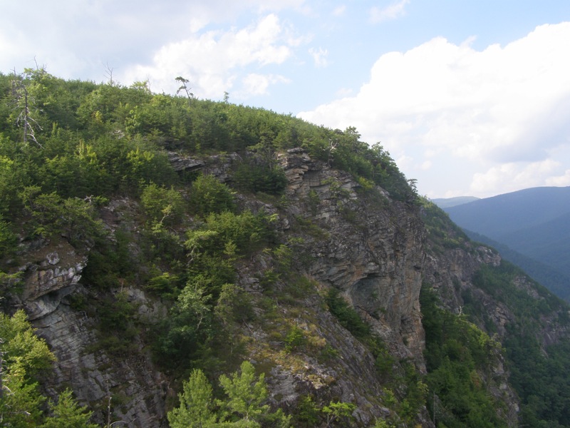
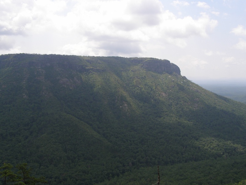
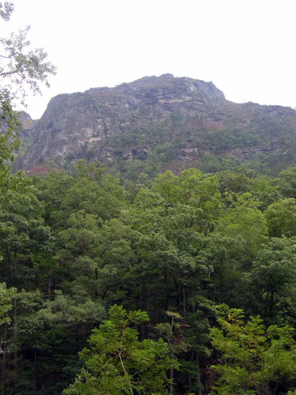
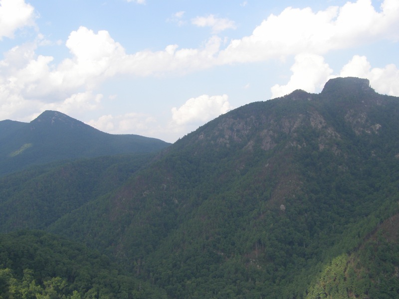
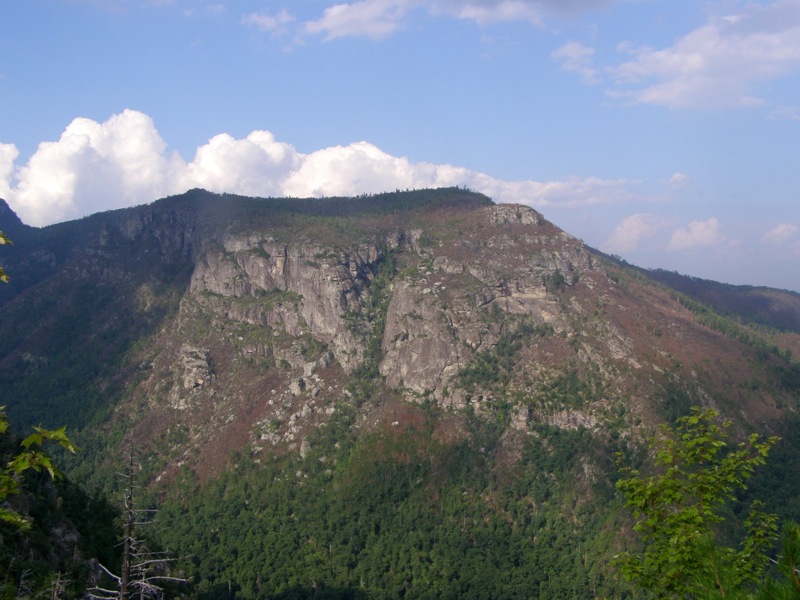
- Mile 0.6 – A large rock rises above the trail and is easy to climb. Views from this rock include Shortoff Mountain, Linville River, The Chimneys, Table Rock Mountain, and Hawksbill Mountain.
- Mile 0.8 – Continue steep descent, the trail begins ducking into trees and the trail is much sandier here. The absence of rocks makes the descent very slippery.
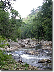
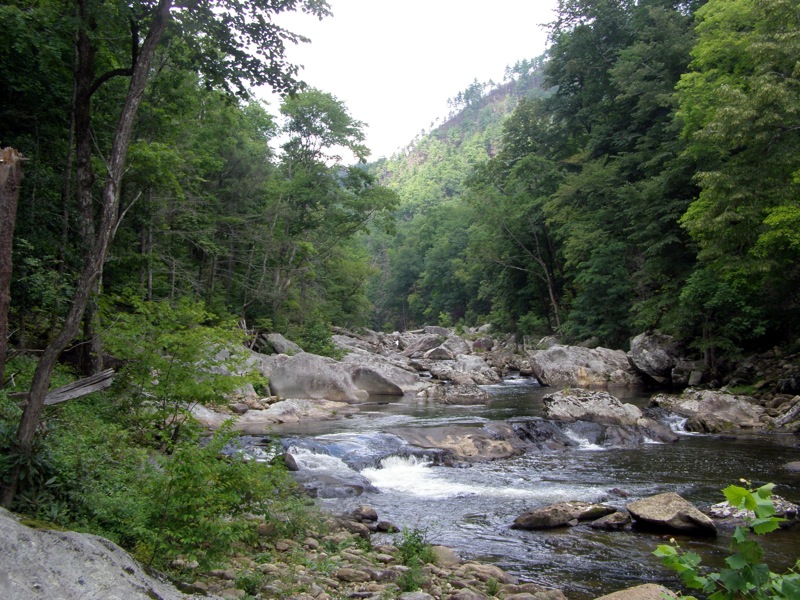
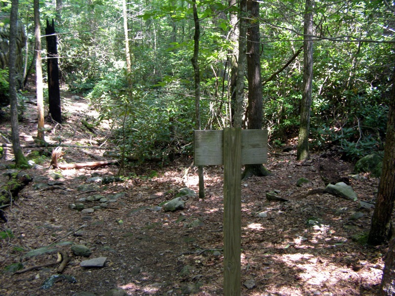
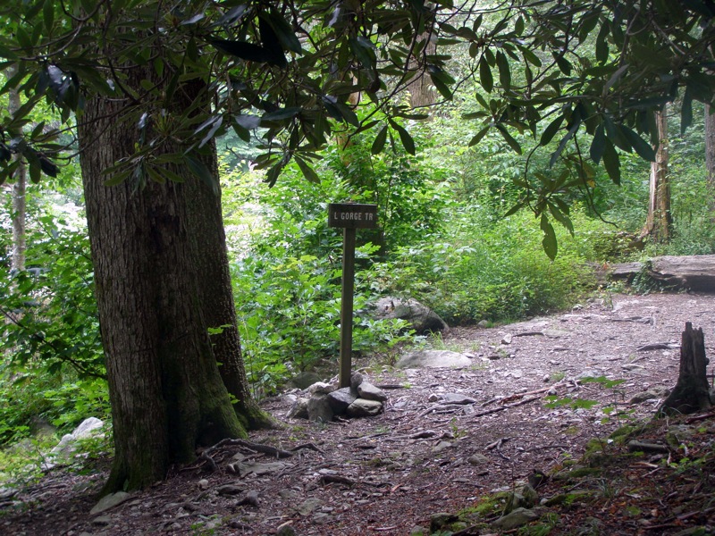
- Mile 1.3 – The Pinch In Trail ends at the Linville Gorge Trail. There is a sign for the Pinch In Trail here, go left heading north along the river. You will follow Linville River upstream for the next 3.9 miles.
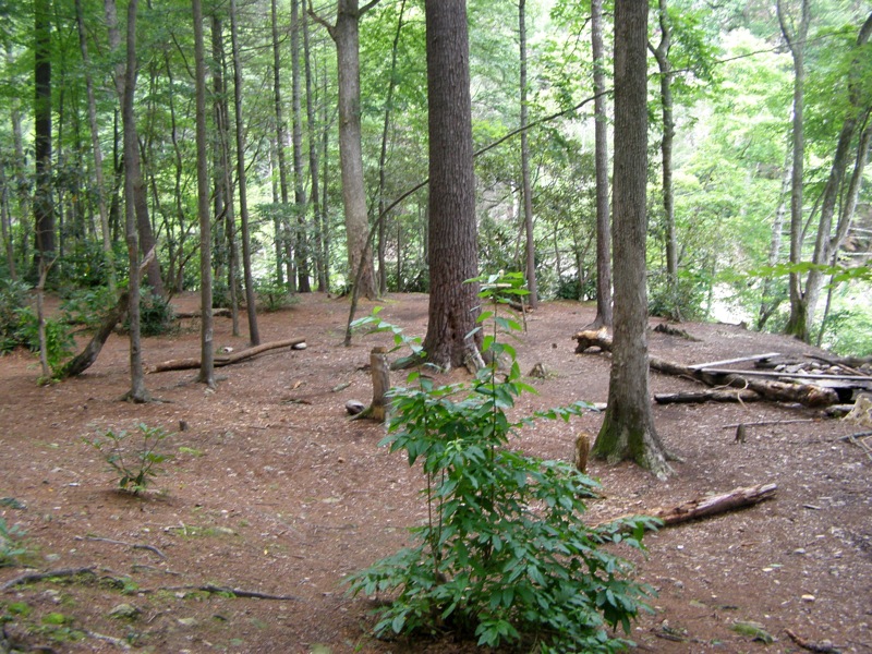
- Mile 1.5 – Reach a flat camping area at the river, the river is mellow here.
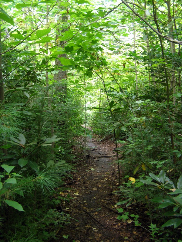
- Mile 1.6 – Begin a long arduous trek paralleling the river. The trail goes through overgrown shrubs and has few views of the river for the next mile. The LGT slowly gains elevation going up and down over many rocks.
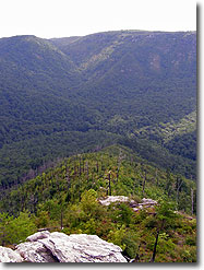
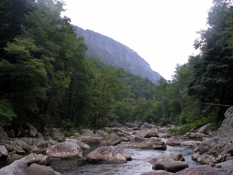
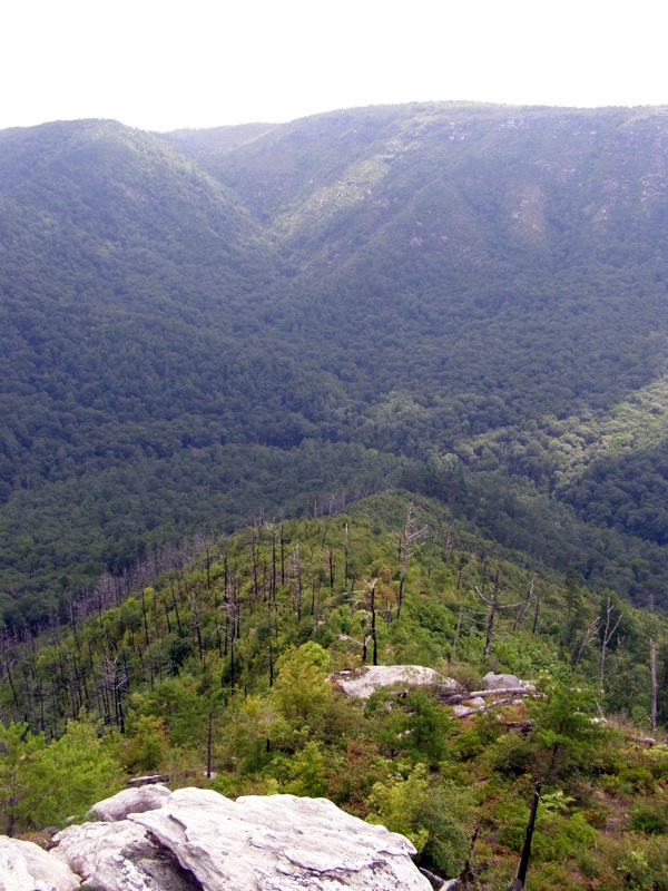
- Mile 2.9 – The trail begins to get much rockier and steeper as it hugs the river. There are more views for the next 1.4 miles of the whitewater river and The Chimneys towering above.
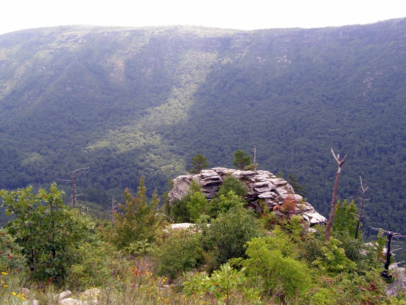
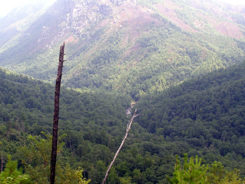
- Mile 4.3 – An excellent spot of large flat rocks in the river. The view of The Chimneys to the south is fantastic.
- Mile 4.8 – A large flat area of many built up campsites with benches and fire rings.
- Mile 5.2 – Reach intersection with Conley Cove Trail in another area of campsites. There is no sign for the trail, but there is a sign for the Linville Gorge Trail. The Conley Cove Trail climbs uphill to the southwest. Follow this steep trail for 1.35 miles to the intersection with the Rock Jock Trail. The trail is well graded switchbacks, gaining 976 feet or 725 ft/mi.
- Mile 5.9 – A cascading spring parallels the trail for the next half mile. This is a good spot for water, and one of the only reliable sources of water until the end of the hike
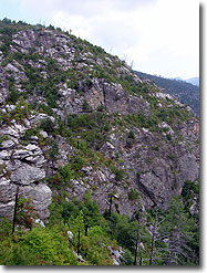
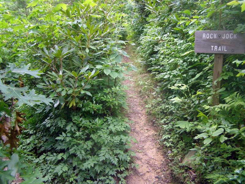
- Mile 6.5 – Rock Jock Trail intersection, go left heading south. This trail is for experienced hikers only. It is extremely rugged and remote, very overgrown and difficult to follow at times. It is also much longer than listed on the USDA topo map. GPS measured it as 4.1 miles while the map says 2.8 miles. This section can take 3 hours.
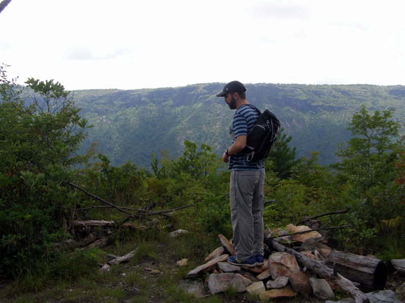
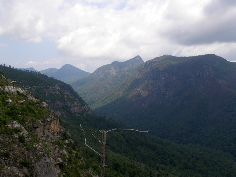
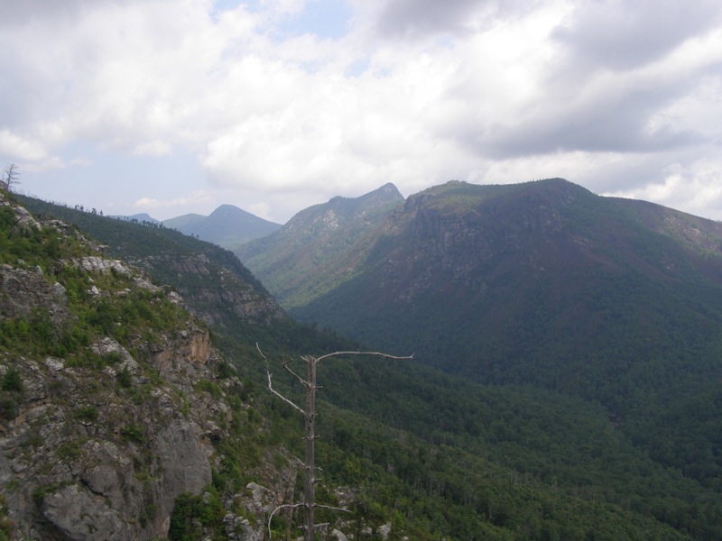
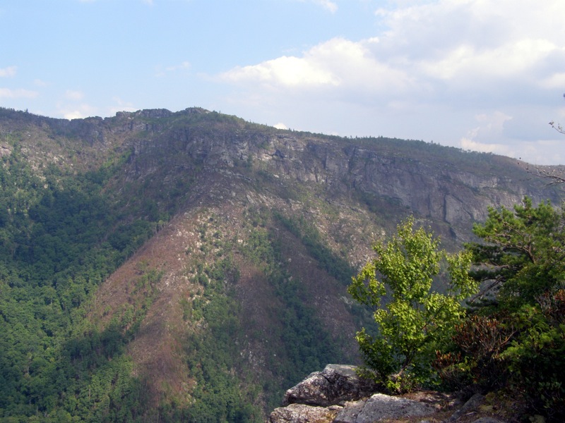
- Mile 7.1 – Short side trail to an excellent cliff nicknamed Fern Point. The views looking directly at Table Rock Mountain and The Chimneys are outstanding.
- Mile 7.3 – Another short side trail to Hackers Point. This view is similar to Fern Point with a better view of The Chimneys and you can see Fern Point on the left.
- Mile 7.4 – Beyond Hackers the Rock Jock Trail is very primitive and overgrown. There are few views on the trail for the next 1.7 miles. The trail descends into multiple remote, dark drainage gullies which are thick with weeds and boulders. At times it looks like the trail disappears – usually the trail loops around the gullies on a flat track.
- Mile 8.2 – Unmarked side trail on left that goes to Razor’s Edge and Zen Point
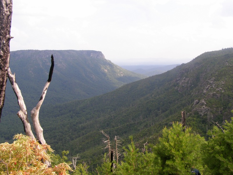
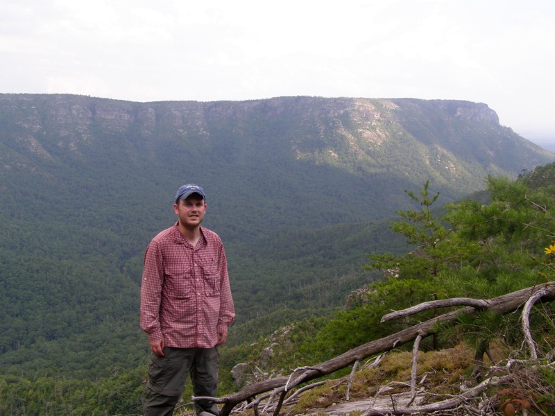
- Mile 9.1 – The trail descends to T-shirt Point with great views of Shortoff Mountain.
- Mile 9.3 – Cliff overlooking Mossy Creek Canyon with great view of Shortoff Mountain.
- Mile 9.5 – The trail seems to end at a boulder field, do not climb up these boulders. Continue going straight into the gully and the trail will reappear.
- Mile 9.7 – The trail passes by huge rock faces at the west entrance of Mossy Creek Canyon and then begins climbing up the south edge of the canyon. From here the trail is used more frequently and easier to follow.
- Mile 10.1 – The trail after following a flat ridge south loops around a point and begins a very steep but short climb west towards the road. This climb is 681 feet in 0.5 miles, 1362 ft/mi.
- Mile 10.6 – The Rock Jock Trail ends at Old NC Highway 105, there is no parking here and only a small metal national forest sign indicating the trail head. Walk south on Old NC 105 towards the Pinch In Trail.
- Mile 11.1 – Hike ends at the Pinch In parking lot
|


