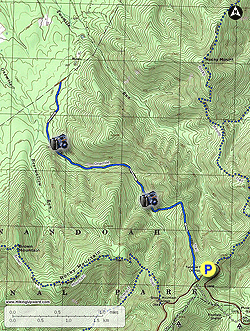
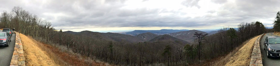
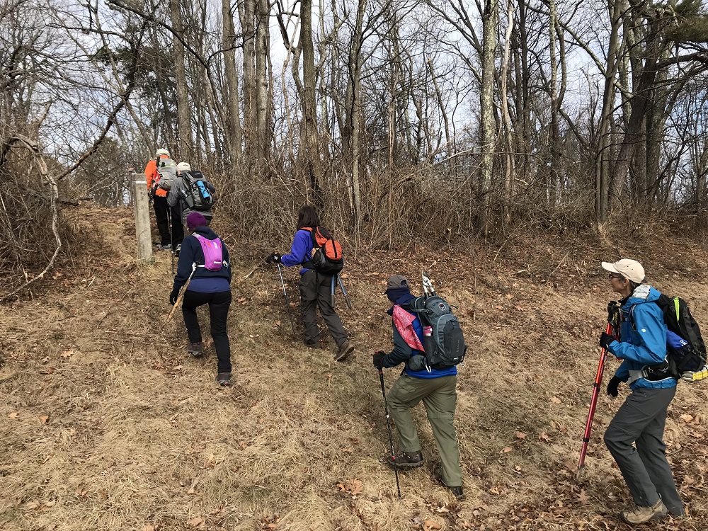
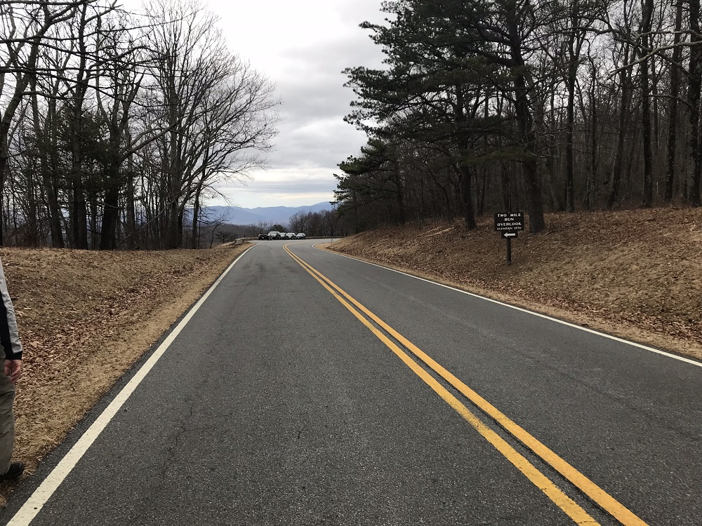
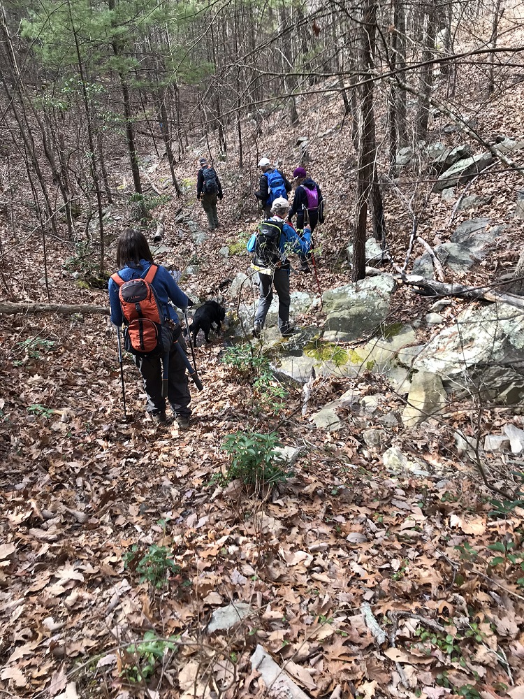
If Shenandoah National Park maintained a list of park trails ranked by the number of hikers who travel them, the Onemile Run Trail would very likely be at the bottom of the list - among the least hiked trails in the park. Several factors contribute to the lack of use on this trail. The best view on the entire hike is from your car before you even start the hike. Additionally, this hike is not part of a loop, but requires an out and back hike, as there is no public access from outside of the park. And it is in the Southern District of the Park, which is less utilized than the Central or Northern Districts. Therefore, unless you hike with a group, you are less likely to see other users than on nearly any trail in the Park.
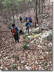
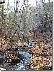
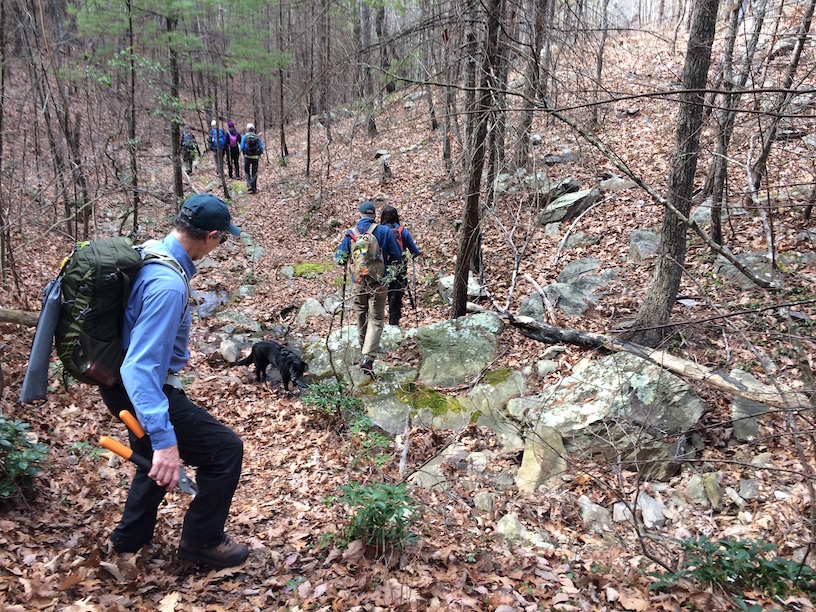
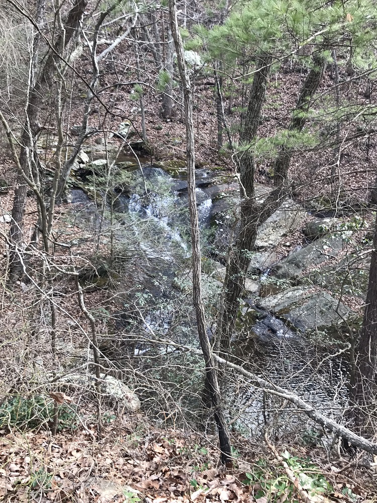
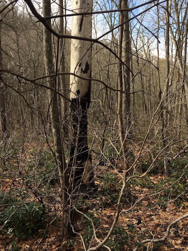
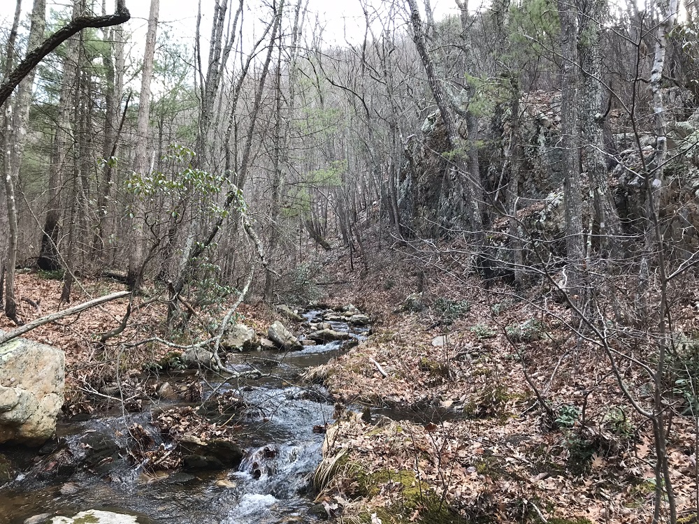
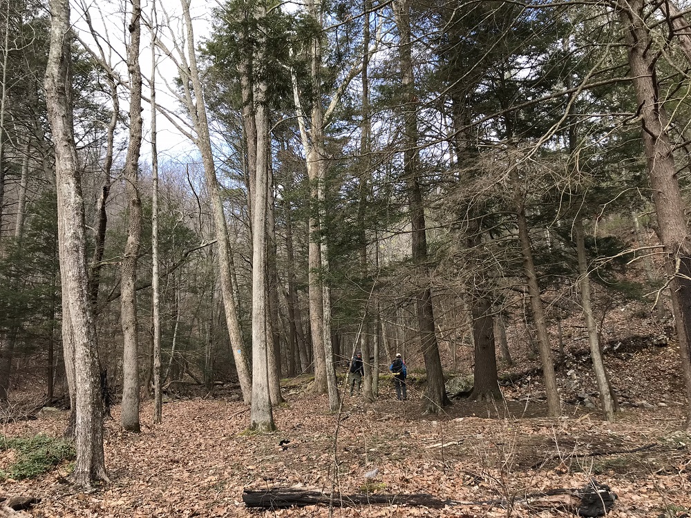
But there are great reasons to check this trail out! If you are looking for a beautiful hike with few other hikers and lots of stream crossings, or if you would like to backpack into an area that is more pristine than the more popular Big Run drainage just to the south, or if you would like to see a healthy stand of hemlocks, check this trail out. (Remember that SNP backcountry regulations prohibit campfires or camping within 10 yards of a stream or 20 yards from a park trail). Along this hike, there is near constant evidence of the April, 2016 fire that raged through this part of the park.
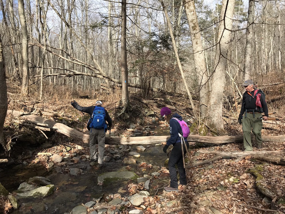
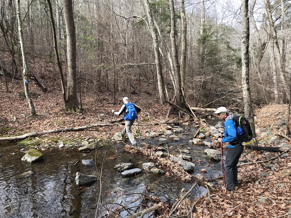
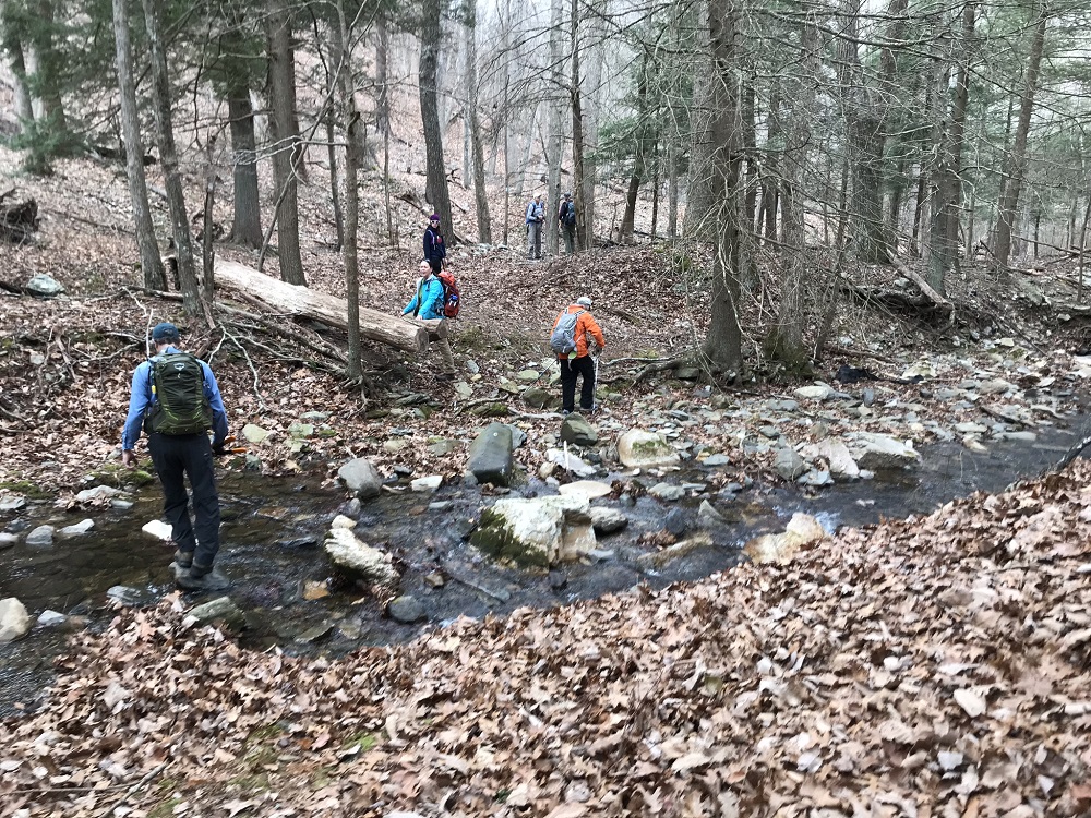
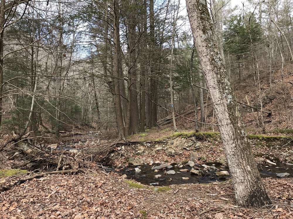
Because of the number of stream crossings, do not attempt this trail after unusually wet periods. And if you do camp, be sure to check for “widowmakers” when placing a tent: trees that are weakened or dead and could flatten your tent overnight!
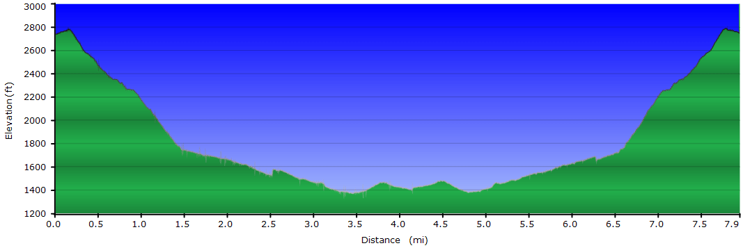
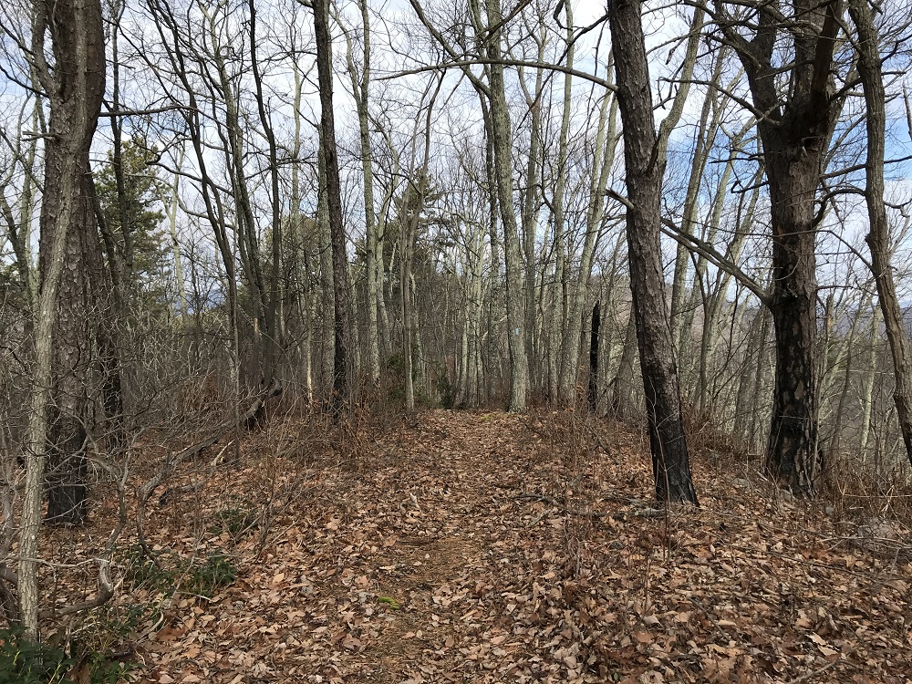
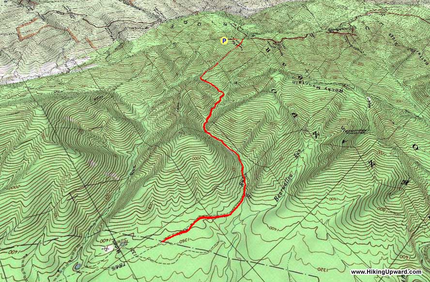
Mile 0.1 – The trail starts by heading uphill, but this does not last long. After cresting at about 2850 feet elevation, the trail starts dropping steeply over the next 1.25 miles until it reaches Onemile Run more than 1000 feet below, and follows the stream that forms the valley. Follow the trail along Twomile Ridge.
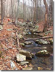
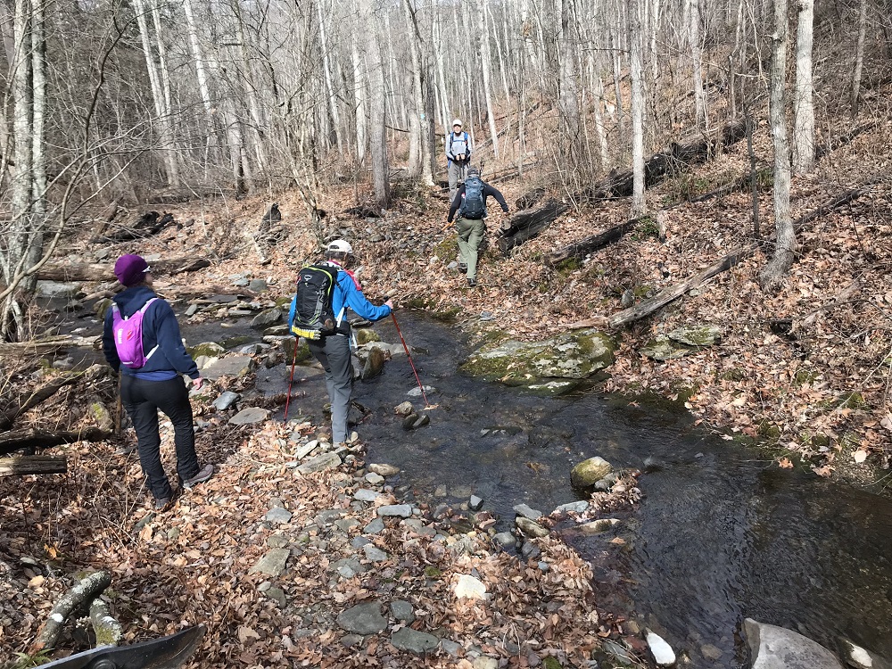
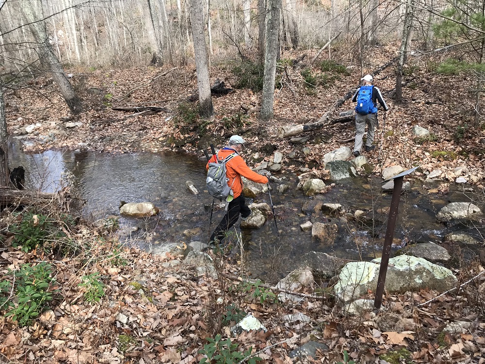
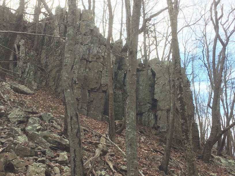
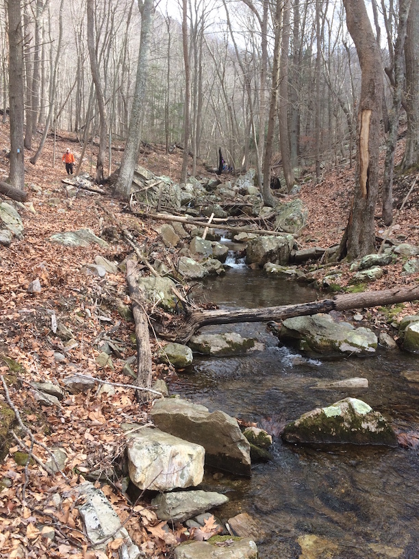
Mile 2.1 – Cross the stream again, and continue alternating the sides of the stream for several more crossings. Each one can be an adventure! (Expect wet feet by the end of this hike if your boots are not waterproof.) The trail is never far from the stream. The valley will start to open up as the ridges on each side begin to recede. You will hike near a talus slope, located just to the right of the trail.
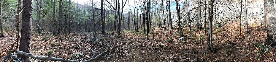
Mile 3.0 – Reach the thirteenth and final stream crossing (in this direction). From here to the park border, the trail leaves Onemile Run and traverses through woods that show evidence of the 2016 fire. This part of the hike is less interesting, and only recommended if you want to say you’ve hiked this entire trail.
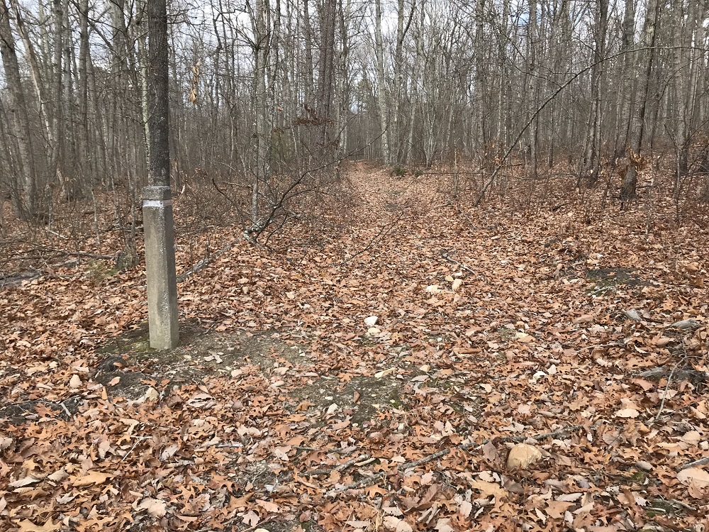
Mile 3.8 – A concrete mileage post signals the park boundary. Although the trail appears blazed further than this point, this is the end of public property, so we advise you to turn around here. Return via the same route.
Mile 6.2 – After again crossing Onemile Run many times, the trail again leaves the valley and begins climbing back to the trailhead. You better have saved some energy! Over the next 1.25 miles, you will need to climb over 1000 feet to get out of this valley.
Mile 7.8 – Reach the Skyline Drive. Walk north (left) along the Drive to return to your vehicle.
Mile 7.9 – Return to your vehicle.
Late January
Onemile Run Hike Comments
Archived Comments
By:Sean
Rating:
Date of Hike: Tuesday, July 2, 2019
Unfortunately I did not see the 6/29/2019 review before my hike today. As with that reviewer, things were fine until 2.0 miles in. As they reported, there starts blowdown after blowdown, and recurring overgrowth. At the 2.2 mile point the overgrowth mostly obscured the trail and was over my head for about 100 feet. (The leaf shape on these young tall is similar to the tulip poplar tree. I could make out further blue blazes (there were enough but I'd like to see more blazes) so I continued on, hoping it would get better. There were good stretches between 2.2 and 3.0 miles but there was still recurring blowdown and overgrowth -- many times worse than any other trail I've been on in the park. At 3.1 miles it was so bad -- a wall of foliage, branches, and tree trunks -- I gave up and went back. I wanted to go on and make it to the end but that was too much. If someone ever finds this trail cleared at 2 miles and beyond, please let us know.
By:SChiker
Rating:
Date of Hike: Saturday, June 29, 2019
A small group from our hiking club did this hike on Saturday 6/29/19. I do not recommend this trail until it has been cleared. The trail was somewhat maintained until around two miles in, when the maintenance ended, and we were faced with blowdown after blowdown and so much overgrowth, it was more like bushwhacking than hiking. An area of the trail at around 2.2 miles in was consumed by overgrowth and came over our heads. We could no longer see our feet or what we were stepping on. We chose this hike on a Saturday to avoid the weekend crowds. We learned quickly there's a very good reason this trail is not frequently used.
By:Melanie Perl (Hikermel)
Rating:
Date of Hike: Friday, June 21, 2019
This trail is no longer maintained beyond the seventh stream crossing down from Skyline Drive. PATC does maintain it to this point, however it is currently without an overseer. A small crew was out on May 7, 2019 and cleared the trail of blowdowns. Another crew was out on June 21, 2019 and weeded to the seventh stream crossing. It's a beautiful trail with some views near the top now due to the 2016 fire, as well as a sweet little stream that follows the trail for over a mile. Give it a chance :) And, let me know if you're interested in overseeing it! Hikermel~ District Manager, PATC, side trails, southern district of SNP.
By:Jane Ruppe
Rating:
Date of Hike: Sunday, May 8, 2016
My husband was the trail maintainer for the Onemile Run Trail until he got ALS ( Amyotrophic Lateral Sclerosis) in 2008. Even after his diagnosis he continued to try to do trail maintenance and one day fell at a stream crossing and knew then he had to give it up. He loved it and had a favorite spot just off the trail by a spring. Some of his ashes are scattered there. There was quite a bit of fire damage in the 2016 fire but his favorite tree, a Table Mountain Pine which has a branch that arcs over the trail, survived the fire.
By:Tim D
Rating:
Date of Hike: Wednesday, April 1, 2015
Did this exact hike back in 2015 before the fire. Made camp about two thirds of the way in, during a long weekend of hitting all kinds of side trails. I think we had come up from rocky Mount that morning. A few of the stream crossings that spring were really rolling so we had to take our shoes off and roll up our pants. The last one before the park boundary was 5 deep so we skipped it and never made it to the gate... but a rear trail and very clearly skipped by most hikers.


