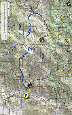
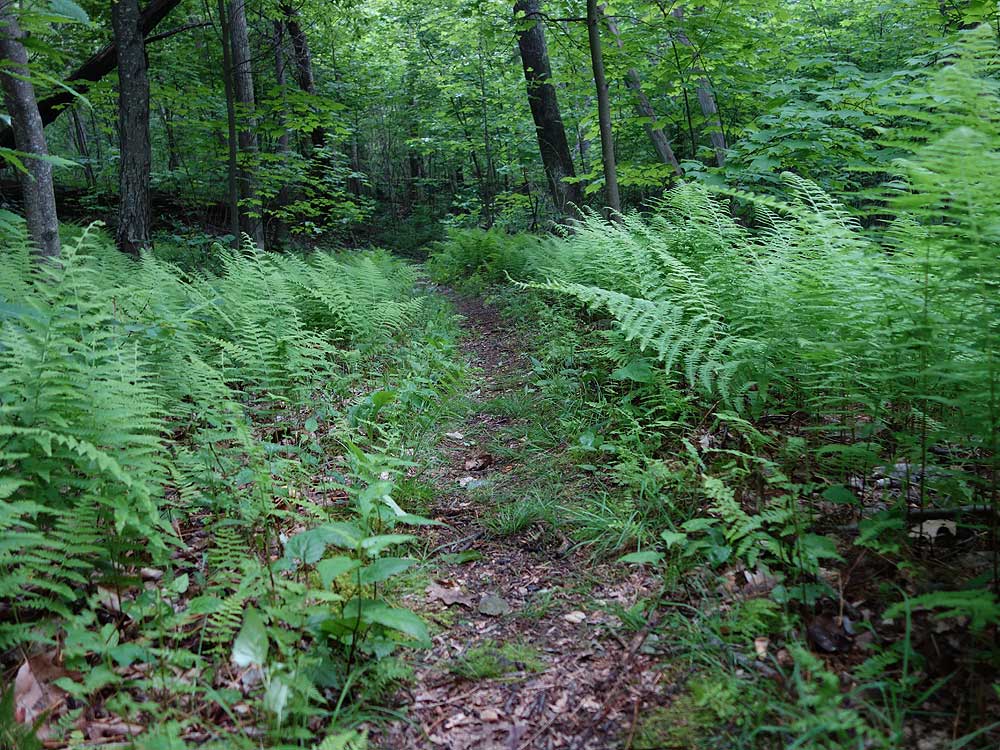
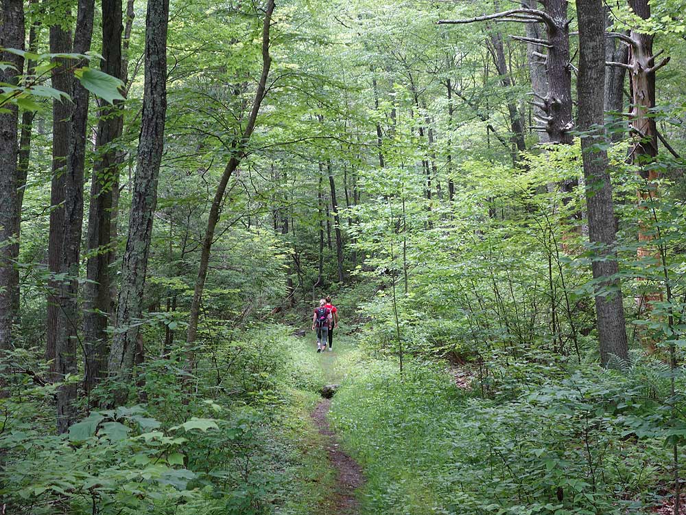
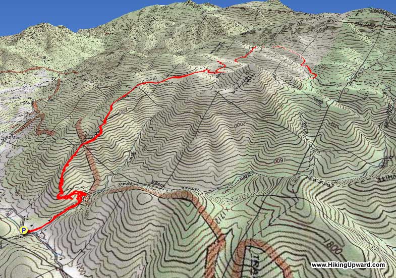
Located in one of the remote sections of the central Shenandoah National Park, the Sams Ridge Trail gets very little traffic compared the more popular hikes on Skyline Drive just a few miles away. After initially walking along Hazel River for a short distance, you then climb up the Sam's Ridge Trail that is a solid workout on its way to the plateau between Hazel and Catlett Mountains. The teardrop circuit on the Catlett Spur and Catlett Mountain trails is a nice hike in secluded old growth forest.
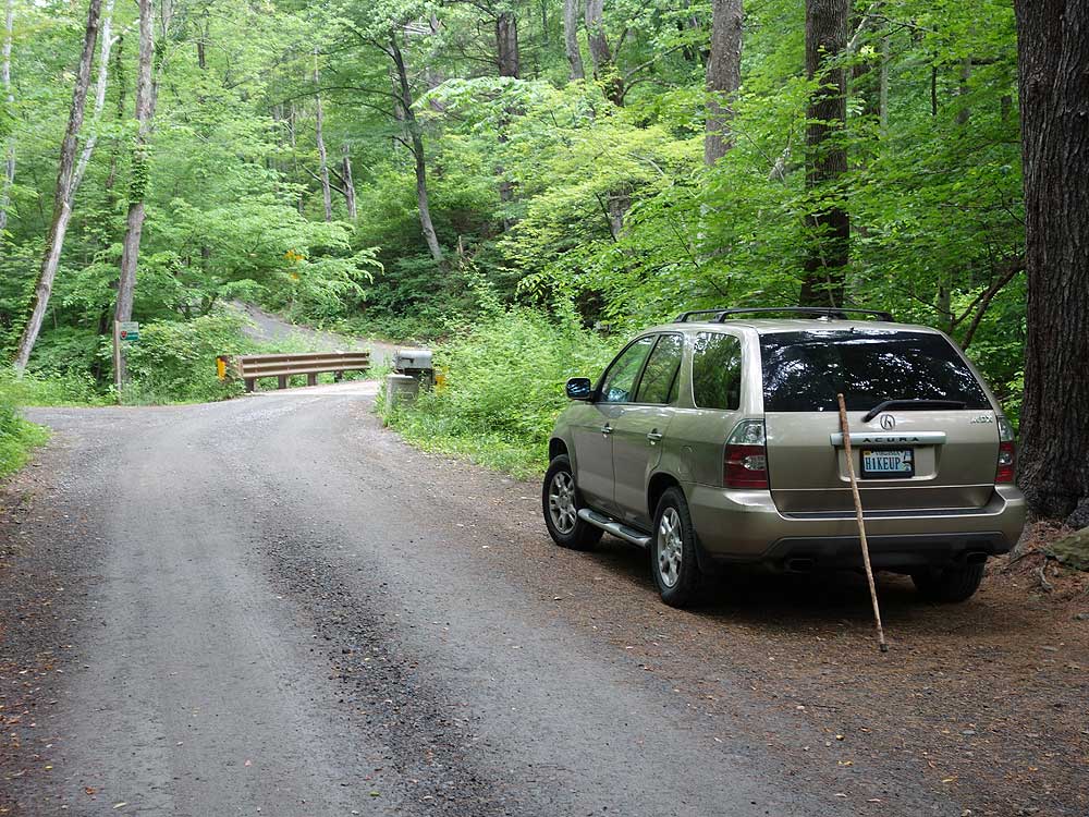
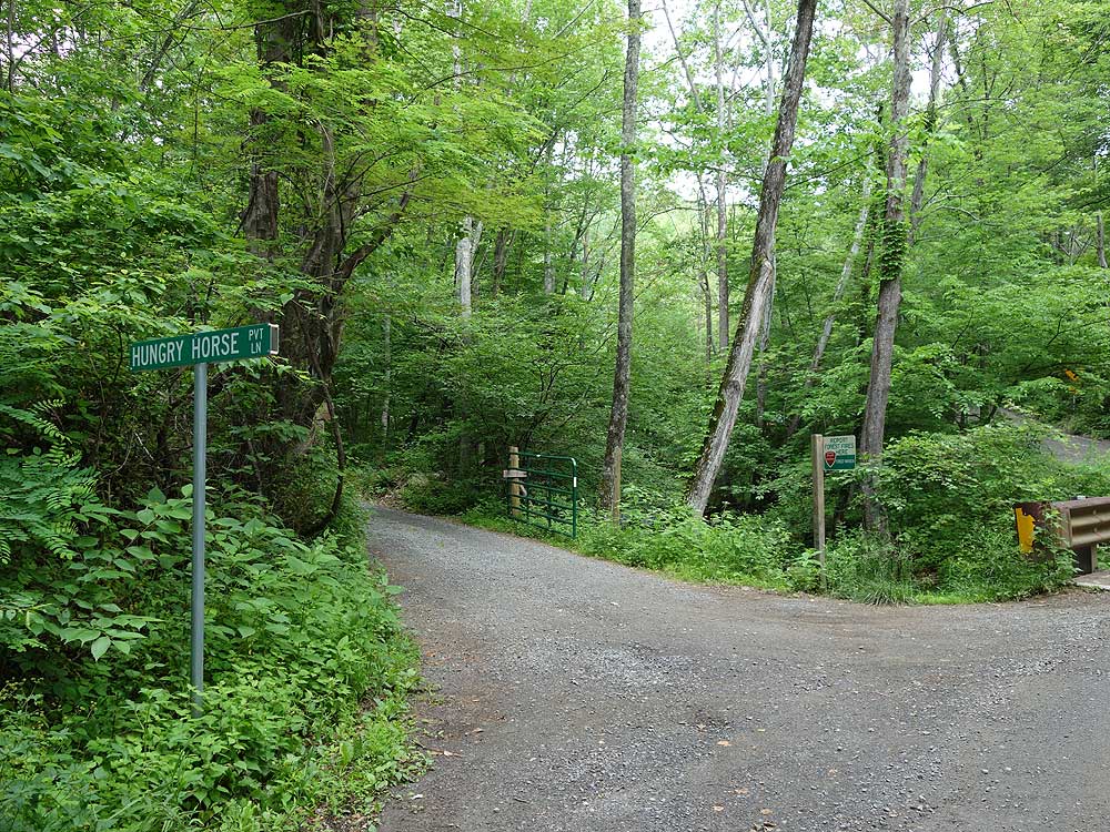
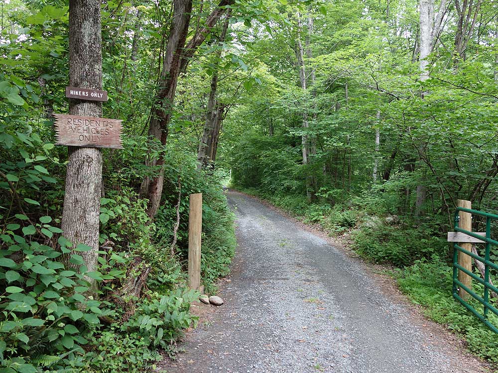
Mile 0.0 - Park along Woodward Rd/VA 600 opposite Hungry Horse Ln. DO NOT drive up Hungry Horse Ln. This is a private driveway and open to resident cars and hikers only. Please respect private property. From the parking area pass the gate and walk up Hungry Horse Ln. Pass a house on the left then the Virginia Farm Bureau on the right before the road makes a hairpin turn to the left. Continue on the road for 50 yards where the Hazel River Trail starts.
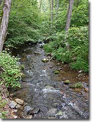
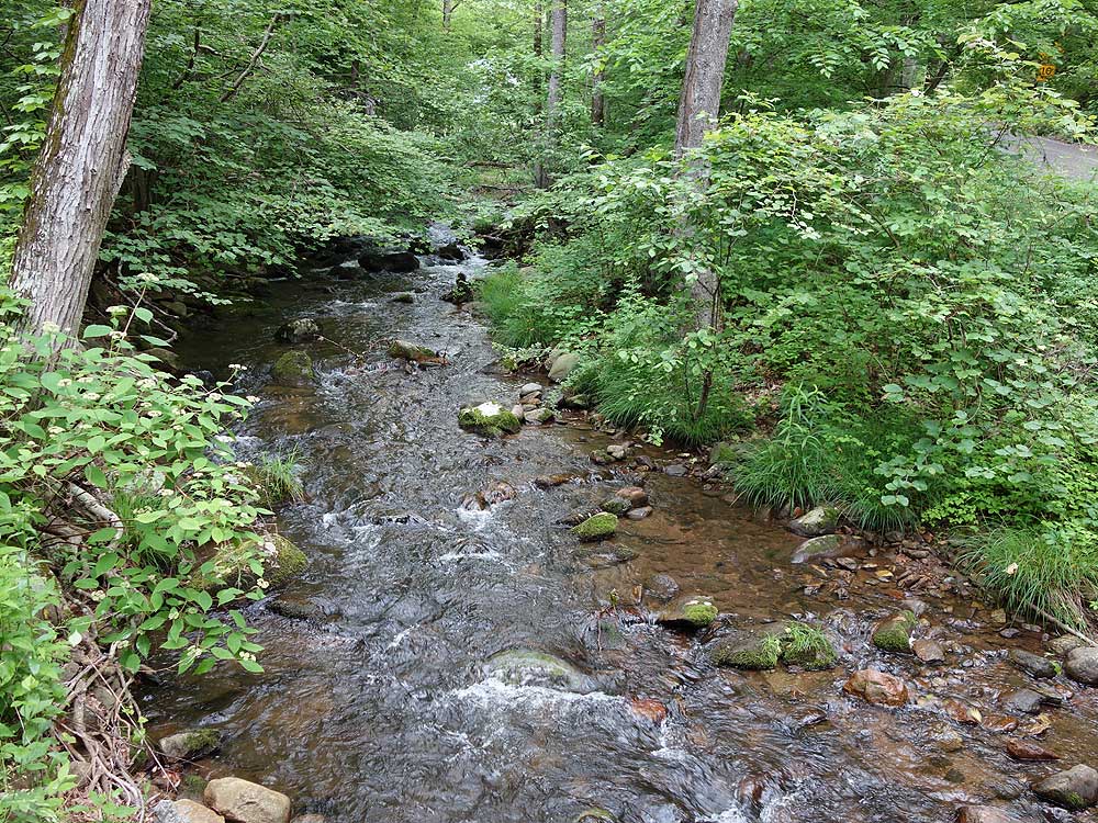
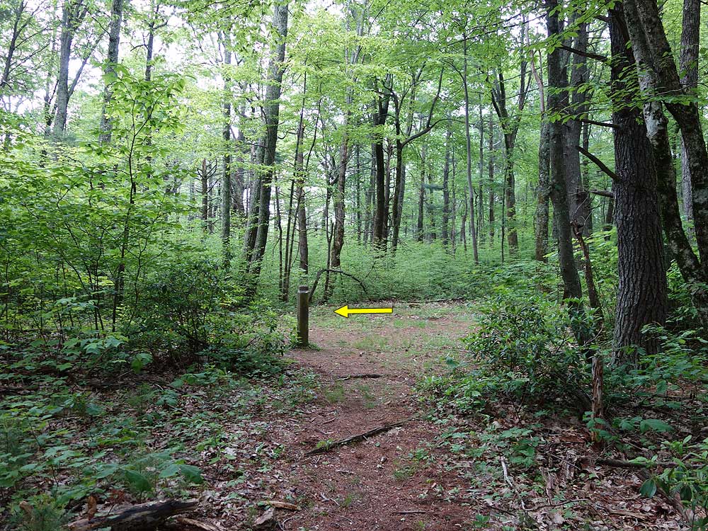
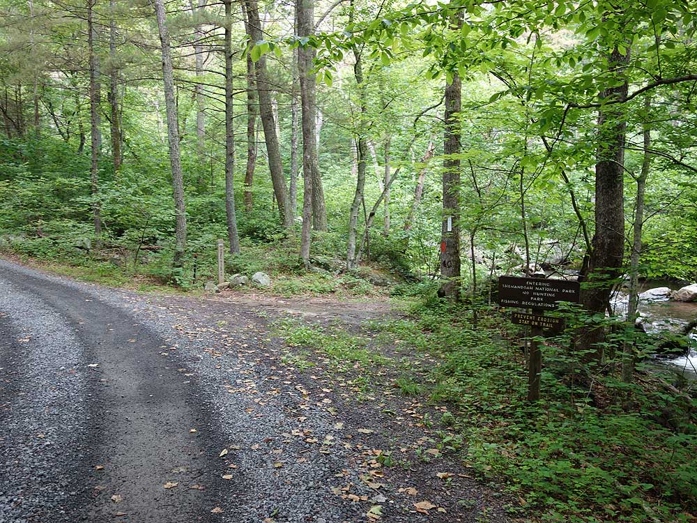
Mile 0.3 - Turn right along the yellow blazed Hazel River Trail with Hazel River on your right for 250 yards to the intersection of the Sam's Ridge Trail.
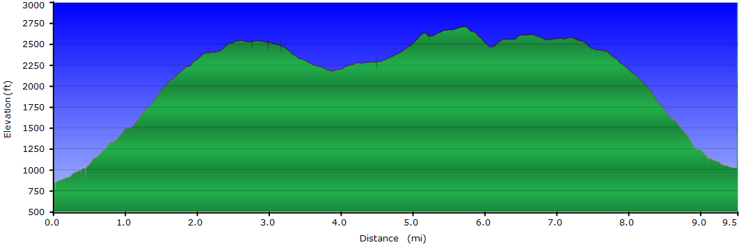
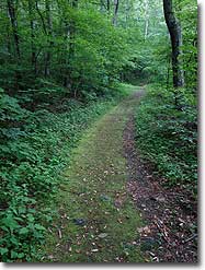
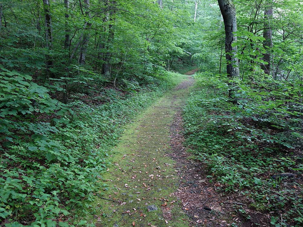
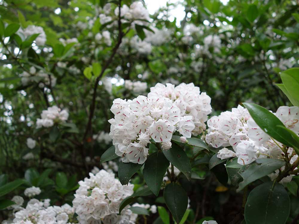
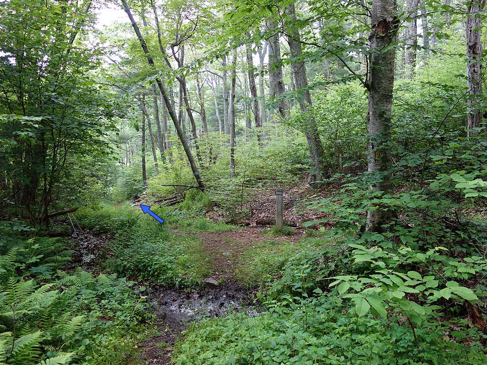
Mile 0.41 - Turn left onto the blue blazed Sam's Ridge Trail. After the first 0.4 miles the trail becomes increasingly steeper without the aid of switchbacks. Pass several areas of Mountain Laurel that bloom in early June, then the trail begins to level out near the saddle ending at the intersection with the blue blazed Broad Hollow Trail.
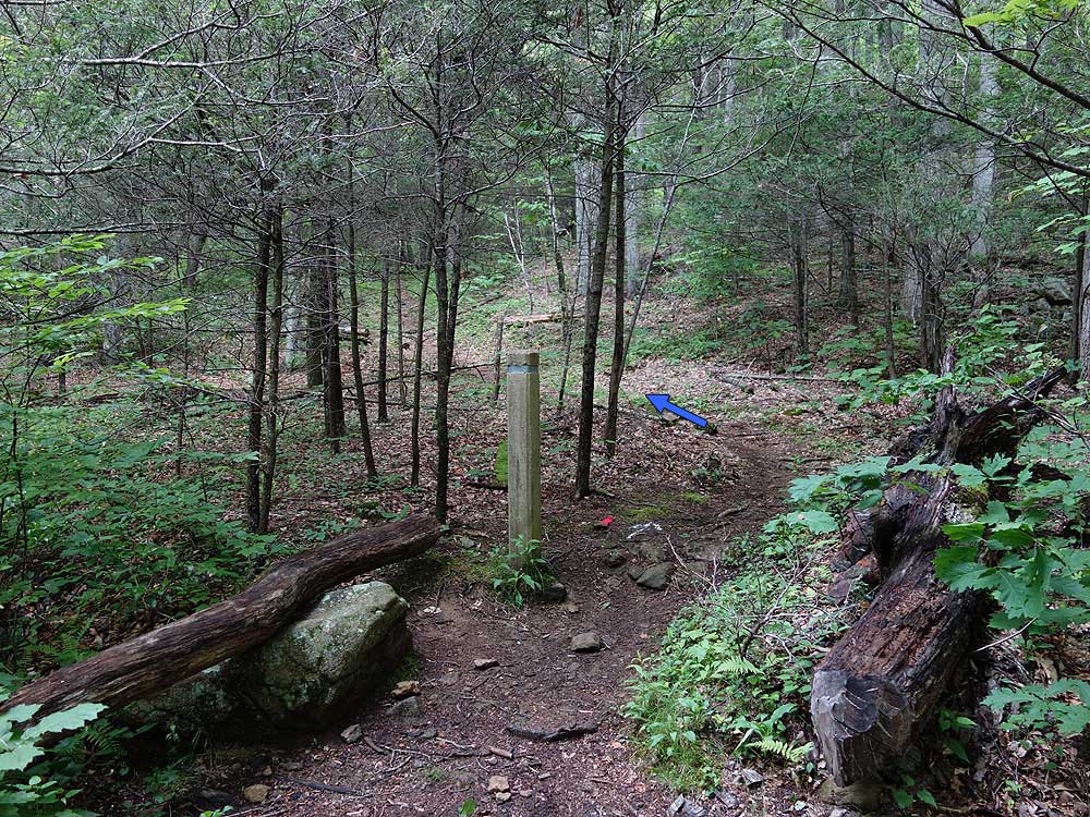
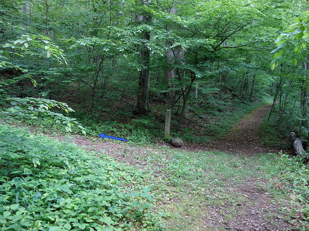
Mile 2.72 - Turn right onto the blue blazed Broad Hollow Trail for 0.2 miles crossing Sams Run then arriving at the intersection of the Hazel Mountain Trail where the Broad Hollow Trail ends.
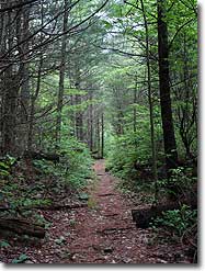
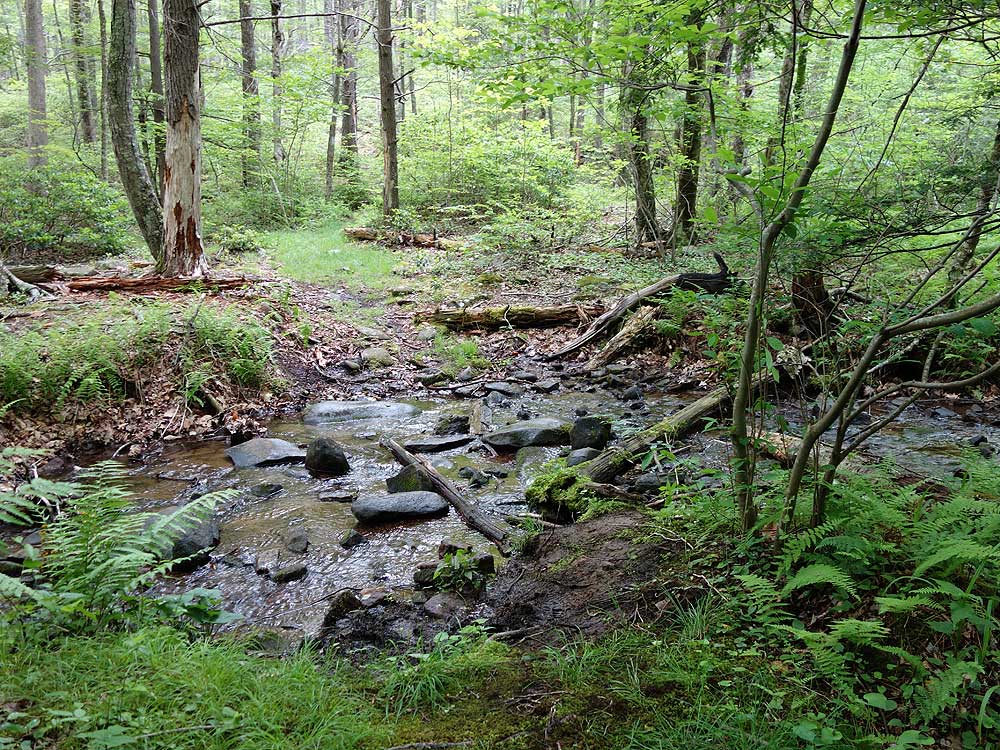
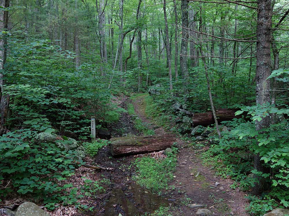
Mile - 2.92 - Turn right on the yellow blazed Hazel Mountain Trail where it gradually descends into the hollow through old growth forest with a small stream on the left. Pass the top terminus of the Hazel River trail on your right and continue downhill on the Hazel Mountain Trail. Cross two streams that feed Hazel River and reach the intersection of the Catlett Spur Trail.
Mile 3.88 - Turn left onto the blue blazed Catlett Spur Trail gradually climbing for the first 0.3 miles then recrossing the stream. From this point the Catlett Spur Trail becomes steeper for the remaining 0.9 miles to the intersection of the Catlett Mountain Trail.
Mile 5.08 - Turn left on the blue blazed Catlett Mountain Trail descending through a hollow and passing a sink hole created by the porous limestone collapsing within the mountain. The trail gets steeper then crosses a small stream. Pass over a small knoll and follow the trail to the Hazel Mountain Trail intersection where the Catlett Mountain Trail ends.
Mile 6.21 - Turn left onto the yellow blazed Hazel Mountain Trail and pass over a the trail high point arriving back at the intersection of the Broad Hollow Trail where the loop section of the hike began.
Mile 6.7 - Turn right onto the Broad Hollow Trail for 0.2 miles back to the intersection if the Sams Ridge Trail.
Mile 6.9 - Turn left downhill on the steep descent down Sams Ridge to the valley and intersection with the Hazel River Trail.
Mile 9.21 - Turn right on the Hazel River Trail for 250 yards to the Hazel River Trail terminus and Hungry Horse Ln.
Mile 9.22 - Turn left on paved Hungry Horse Ln. for 0.3 miles back to the parking area on Woodward Rd/VA600.
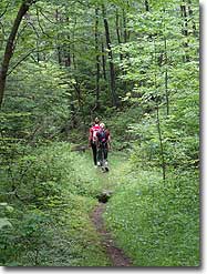
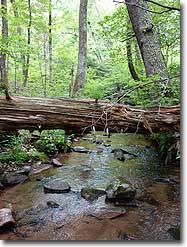
Hiked the amended version of the trail of Sams Ridge and Hazel River trail as mentioned by the previous two reviews and really enjoyed it. Took four hours to complete the loop at a pokey pace due to the hot and muggy weather. Sams ridge is steep but I see why switch backs were not built into it because it's border line as to whether it needs them. I expected the trail to go straight up per previous comments, but it winds and varies the incline. Keep an eye out for old burn spots in the flora, looks like the whole ridge burned some time ago. Very cool. The Hazel river trail is one of the best single track trails to head down a mountain that I've hiked in some time. Well tamed surface, good width, and the bottom portion has some awesome pools to stop and soak in. River crossings were a little tricky.....those with shorter legs might consider packing water socks to simply wade across. Hike this one in the fall so that you can actually have a view!
By:cpo
Rating:
Date of Hike: Sunday, March 4, 2018
We headed out a few days after a big windstorm, and be warned that there were a lot of blowdowns. It took us a while to get up Sams Ridge, where there were probably five major blowdowns and another five smaller ones. It made us appreciate how well maintained the trails in the park usually are. Anyway, because it took so long to get up to the junction with the Hazel River Trail, we decided to change things up and head down the Hazel River Trail instead of doing the full circuit as described on this website. The Hazel River Trail was much more open, had only two or three blowdowns, and it loses its elevation more gradually. Just a few tricky creek crossings, but much more open. The amended circuit is much shorter, though, less than seven miles total, but still a lovely circuit. We'll be back to do the trail as described, as it looks lovely and it seemed like the best part would have been the part that we skipped. Next time!
By:Jamey
Rating:
Date of Hike: Friday, December 29, 2017
Did the Sams Ridge/Hazel River loop section of this trail with my brother. We're very experienced hikers in our mid-fifties. Ascending Sams Ridge Trail was definitely tough we stopped several times to catch our breath. The leafless trees allowed nice views on both sides. The walk down was very pleasant. We noticed several old rock foundations. There are four Hazel River crossings, two of which required very careful steps due to the ice on the rocks. I plan to return in late spring to do a different variation (without Sams Ridge) the blooming mountain laurel and the river will be beautiful. We had the trails to ourselves. Very nice hike.
By:Steve
Rating:
Date of Hike: Friday, November 17, 2017
I hiked this as described. With most of the leaves off the trees there were good if not unobstructed views of nearby peaks. Mary's Rock was one I picked out (I think). As hikes go in the park the trails on this one are relatively smooth -- that was good because a few inches of leaves covered portions, but there were few surprises underneath. As the description says, the first part is steep without switchbacks -- but, may as well take it in a relatively straight run and get it over with. I stopped a few times to catch my breath, but no big deal. Going down I slid on loose gravel a little -- a hiking pole was a good aid. I found the whole hike and nearby area quite beautiful overall, despite lack of vistas, with some nice streams. I note this hike shares some trails with the Catlett Mountain hike and the Broad Hollow hike, also on this site. Those are good but I think I prefer this one. I didn't see anyone else on this hike. Returning to my car I saw and chatted with a few homeowners who were very cordial. Don't hesitate to say hi. Please follow the advice on parking and respect private property.
By:twin8721
Rating:
Date of Hike: Tuesday, November 1, 2016
Parked on the side of the road like mentioned. Very little people on the trail. Few trees over the trail to get over but nothing major. Started out on the steeper side, but the fall colors were wonderful. Hiked on a dry day as lots of leaves on the ground. Ended up hiking in the opposite direction as missed the marker for Catlett Spur. Still ended up being a great hike! Well worth it if you like the solitude.
By:Shannon W.
Rating:
Date of Hike: Saturday, October 29, 2016
Hiked exactly as written above. Beautiful hike in the fall - lots of leaves on the ground, but we went on a dry day and it wasn't too slippery. The first major leg on the Sams Ridge trail is pretty strenuous but the hike after mile 3 is good. Lots of options when intersecting different trails. Definitely saw bear scat on the Sams Ridge trail, but saw no actual bears. Would definitely do this again and perhaps do the Hazel Creek trail. Hazel was really beautiful.
By:Tom R.
Rating:
Date of Hike: Thursday, July 7, 2016
We did a 6.1 mile hike from Hungry Horse Lane up the Hazel River Trail and down Sam's Ridge Trail (SRT). Highlights were the beauty and sound of the Hazel River on the former and the "Bear Alley" of the latter. On the SRT, a great number of rocks and logs throughout a long section of the trail had been clearly dislodged, we think likely by bears looking for insects. One log even had blood on it throughout where it appeared to have been gnawed. Four piles of bear scat to boot. Although we saw indications of movement off the trail, we never actually saw a bear.


