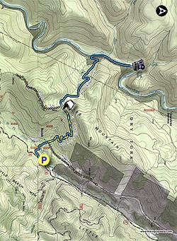
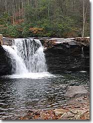
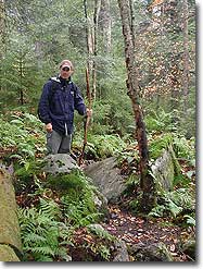
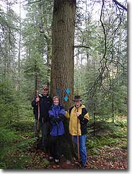
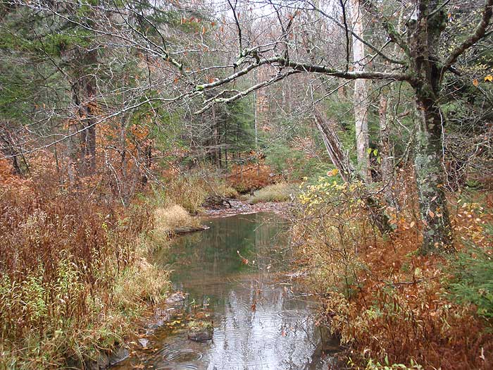
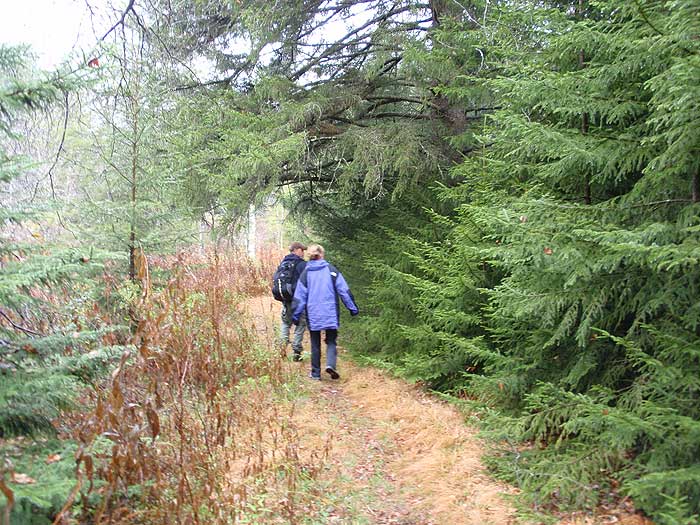
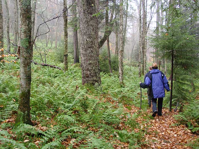
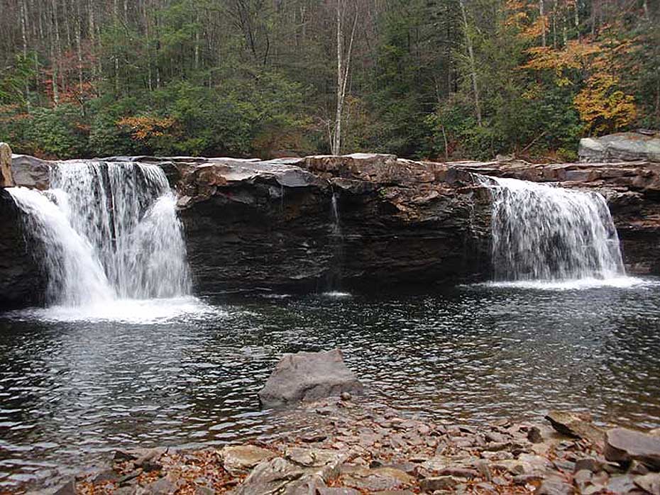
High Falls is one of the most beautiful waterfalls in the Monongahela, and at an altitude of over 2,800ft, one of the highest. The High Falls trail passes through old growth forest, and large hemlock as it winds through the saddle on Shavers Mountain. This is a beautiful hike in the backcountry of the Monongahela National Forest.
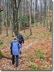
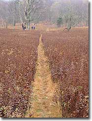
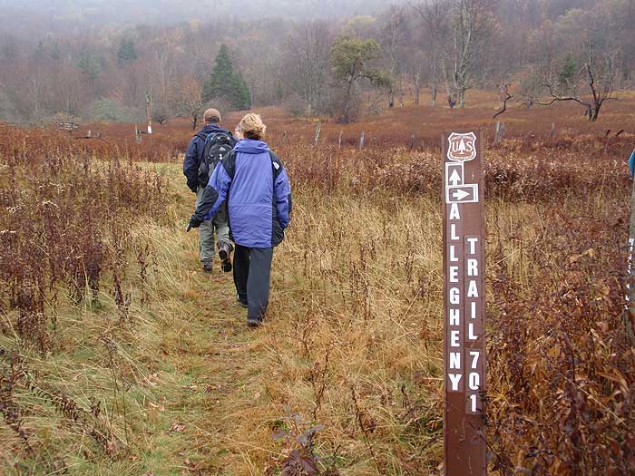
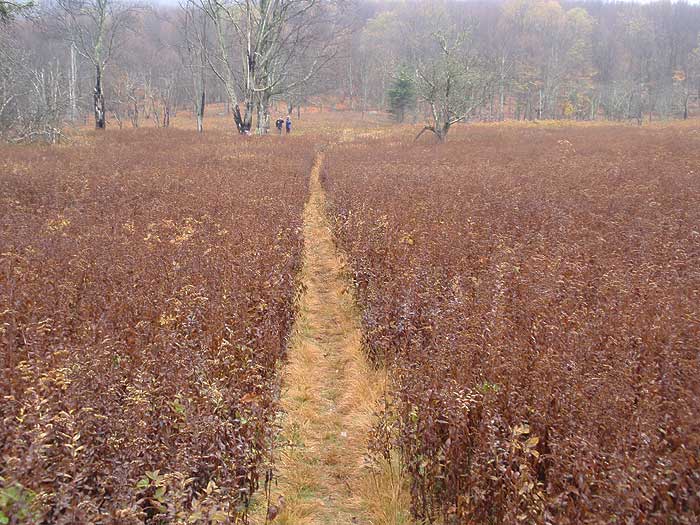
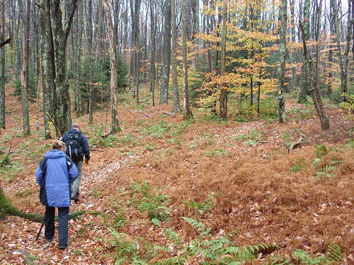
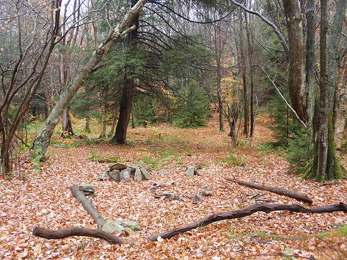
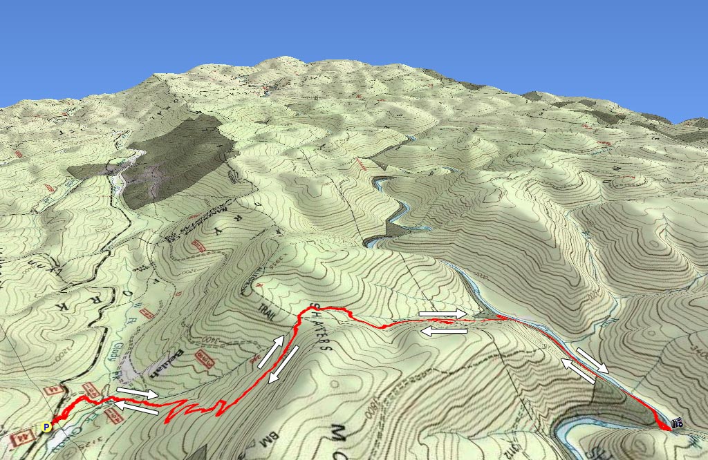
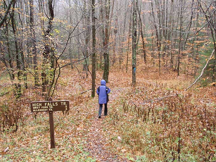
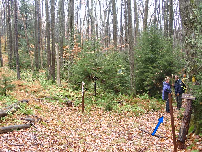
Cross the access road and pass through a large field, as the now blue/yellow blazed Allegheny/High Falls trail climbs Shaver Mountain. In 1.2 miles from the field, arrive at the saddle on Shaver Mountain and the only good campsite on the hike (no water). Just past the campsite arrive at the intersection where the Allegheny Trail splits left.
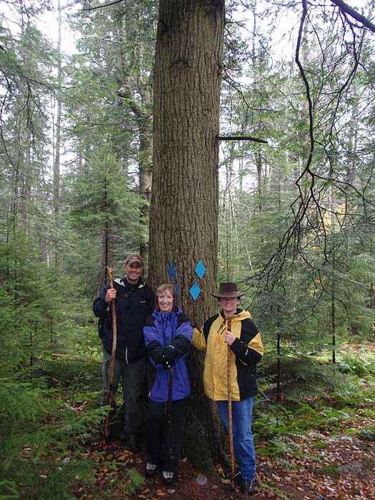
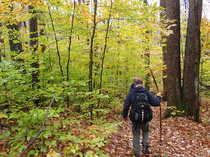
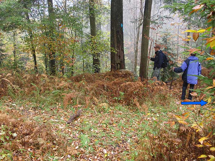
Stay straight, now going downhill on the blue blazed High Falls trail and reach a small abandoned service road in 0.2 miles. Important:Turn right as the blue blazed trail now follows the service road (SR), and DOES NOT cross it. Follow the blue blazed SR for another 0.2 miles where the High Falls trail turns left off the SR downhill.
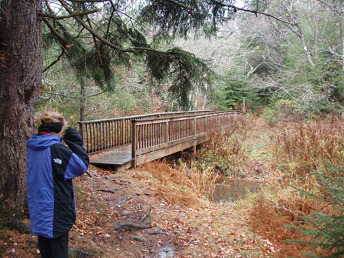
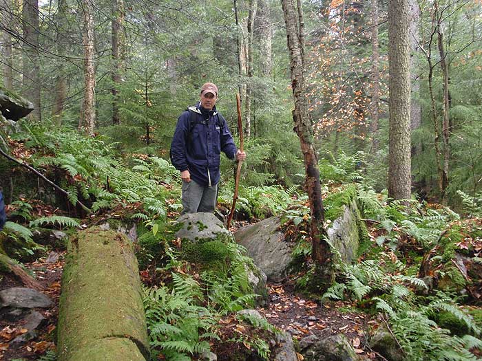
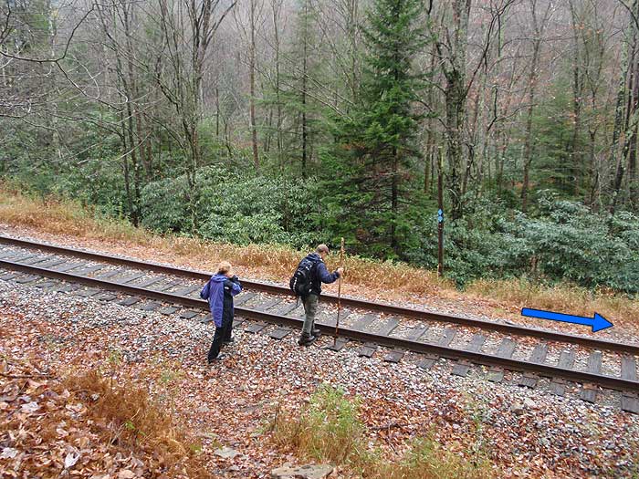
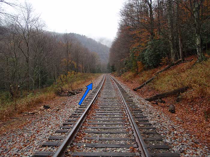
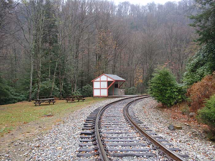
Follow the blue blazed High Falls trail for 1.1 miles where the trail arrives at the railroad tracks. Important: DO NOT descend the burn on the other side of the railroad tracks. Turn right, the High Falls trail will now follow beside the railroad tracks the remaining 0.9 miles to High Falls. DO NOT walk in the center of the tracks, and pay extra attention for trains.
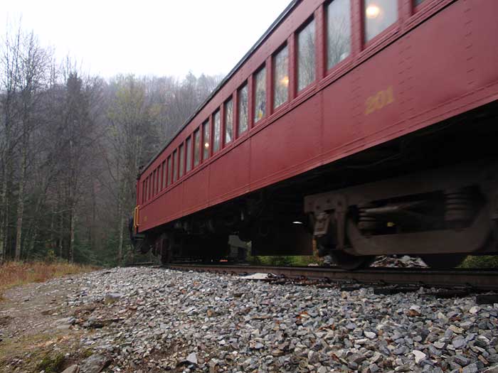
High Falls is a stopping point for a scenic rail tour, and it's possible that when you arrive at the depot hut, and High Falls, there are a group of people. If a scenic tour passes make sure to wave to the passengers, as they'll be wondering where you came from :)
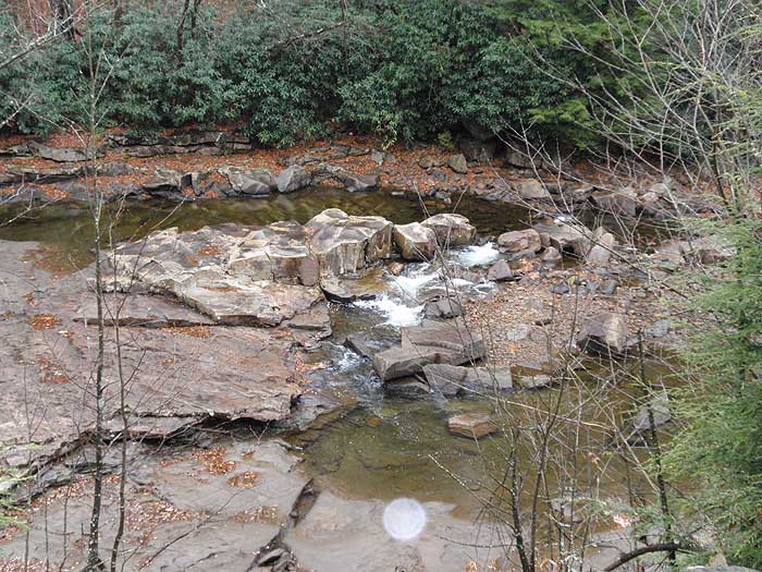
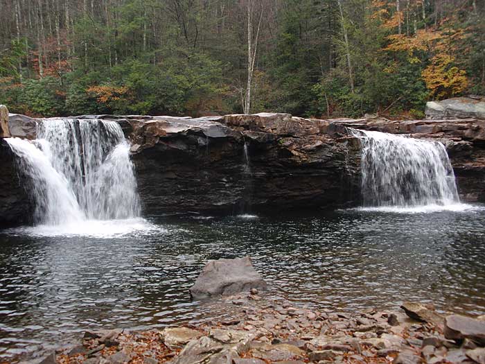
At the small depot and High Falls, follow the trail as it heads to either the upper or lower viewpoint. High Falls is horseshoe shaped, and over 100ft wide, falling 20ft into a large pool below.
To return, retrace your route back over Shavers Mountain. Be extra cautious listening for trains on the return route, as they generally approach from the north at your back.
Late October
Video
High Falls
High Falls Hike Comments
Archived Comments
By:John Rogers
Rating:
Date of Hike: Saturday, August 18, 2018
My lady and I did this hike over the past weekend. We hiked out to a fabulous campsite by the river about a half mile from the falls and spent the night. The trail is in great shape along the way and the fishing looked like it would be excellent down around where we camped. We both loved it and recommend it to anyone looking for a quick get away.
By:cpo
Rating:
Date of Hike: Sunday, January 22, 2017
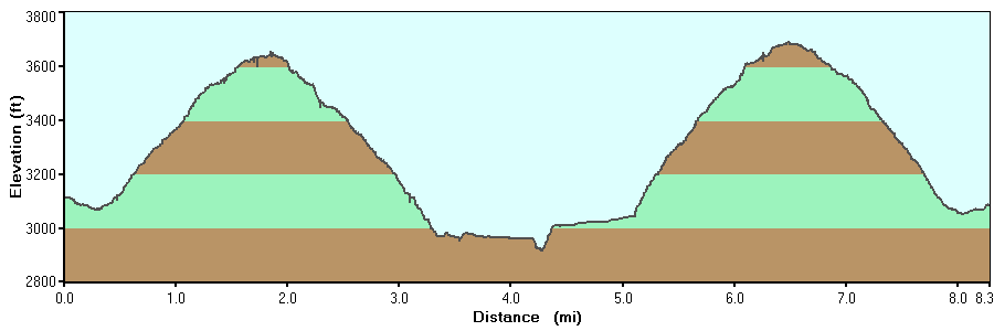
This is an excellent out/back hike, especially off-season. We found it to be very well marked, so perhaps it's been re-blazed since the previous reviewers. We are generally fit but not speed hikers, and we took about 3:30 out/back, and another 45 minutes for lunch at the falls (4.15 total time). We found the grade to be steady. The steepest stretches were a short section right as you leave the meadow nearest the trail head, and then right as you drop onto the river. Lots of switchbacks made for a mellow grade otherwise, and we found the elevation summary pretty accurate.
We had the entire hike to ourselves, but can easily see how it could be quite busy on a nice warm day in high season. There were a lot of seeps so plenty of water if you run out, and we enjoyed the picnic benches down at the depot/river. There's also been a lot of work to build a staircase, etc., looks pretty new (just this past season?). We had lunch right at the base of the falls and enjoyed the cool spray. The only negative to the hike is that there isn't much of a trail next to the rail bed, but that's a pretty minor thing. We're also guessing it would be a little tricky in icy weather. Laslty, it was a little further drive from Alpena than we were expecting, but that may say more about our map skills than about the info on this website. Thanks to all who have had a hand in this website, including previous reviewers!
By:Peter
Rating:
Date of Hike: Saturday, August 6, 2016
This is an EPIC hike. Out of my top 10 hikes, this one is now #2. Abdolutely beautiful scenery. ENOURMOUS mushrooms abound. The ascents are not too hard, and there are very few rocky areas, and a few muddy spots. There was also an abundance of blackberries. We arrived at the falls just as the Durbin express was unloading, so we even got a few pictures with the train. The falls were very full and every bit of the 10 of 10 that my West Virginia waterfalls book gave them for beauty. Below the falls is a HUGE swimming hole, and at 6'3 the water went way over my head. It was every bit of a wonderful experience.
There are a few detractors in this hike. They are:
1. The blue trail markers are few and far between a few miles into the hike. Forrunately the intersections are typically well marked.
2. The rock is UNBELIEVABLY SLICK above the falls. I slid on my butt to get to the other side. The rocks are also very slick getting into the swimming hole.
3. The port-a-potties they have there were nasty and you can smell them from 50 yards away.
4. It is very wet there, making the rocks very slick. Travel slow in rocky areas. I am currently at the Emergency Room in Petersburg because my friend fell and cracked open her head. It is not wise to hike very fast.
Aside from those things, this hike was phenomenal. If it wasn't so far away from home, Id come here every week.
By:Melissa
Rating:
Date of Hike: Sunday, May 17, 2015
Beautiful hike!! Took our dogs they loved it!!
By:Patrick
Rating:
Date of Hike: Friday, May 15, 2015
We stayed at the Middle Mountain Cabins and made the 40 min drive to the Trail where the Wife, 2 dogs and I made the hike...What a Beautiful adventure!!
We have the cabins reserved again this year (2016) with some friends who we hope will enjoy it as much as we did!
By:NateC4
Rating:
Date of Hike: Saturday, August 23, 2014
Absolutely love this hike! We have come up here for the last three years to jump off the falls and camp. The hike to the falls is a quick 2-3 hours depending on your pace and the campsites are great. There are even modern conveniences including porta-potties and trashcans right by the falls.
By:George
Rating:
Date of Hike: Saturday, January 4, 2014
Great winter day hike! Bluebird day with 6" of fresh snow hanging on all the trees, no tracks on the trail, nobody at the falls. Doesn't get much better than that! Trail was well marked where it ran with Allegheny Trail but blazing is sporadic on section after Allegheny Trail cut off up the ridge. Still the trail was fairly evident and didn't have any problems locating it. 4* when I started but warmed up nicely and was 32* when I got back to truck. Took about 5 hours including 1/2 hour spent at the falls.
By:Russell Tuning
Rating:
Date of Hike: Thursday, April 25, 2013
This is a real nice hike.It took me and a freind about 2 hours to reach the falls.Real good fishing and a beautifull place.Well worth the trip.The front side of the mountain is marked real good and easy to fallow but the back side needs work and very hard to find the trail.
By:salzapal
Rating:
Date of Hike: Sunday, May 27, 2012
We took the whole family ( three boys). Even our seven year old did great. Make sure to wear long pants as there are plenty of stickers and thorns early on. If you don't bring water there are a few running streams you can fill up and tastes great too. We use a filter. Once on top of the mountain there are lots of ferns and it is a lovely forest. We followed the train tracks all the way to the falls. The trail is marked very well. We made it to the falls in three hours and set up camp by the river. There are several primo campsites there. The roar of the falls made the perfect white noise for sleeping. The falls can be safely swam and several people jumped from the falls and swam to the shore. It was an outdoor adventure playland.
By:Ken Hicks
Rating:
Date of Hike: Saturday, May 19, 2012
I did this as a day hike a few weeks ago and as an overnight backpacking trip this weekend. Loved it! Great campsite right at the river above the falls. My GPS said the round trip was about 9.5 miles though, not 8.2. Overall a great hike!


