|
| Length |
Difficulty |
Streams |
Views |
Solitude |
Camping |
| 4.3 mls |
 |
|
 |
|
 |
Hiking
Time:
Elev. Gain:
Resources: |
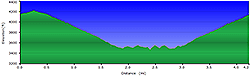
2.5 hours with half hour for lunch
950 ft
 Topo Hike Trails Map (PDF) Topo Hike Trails Map (PDF)
Norton, VA Weather Forecast
Garmin (GDB), Gaia/Trails App (GPX) (What's
this?)
3D
View of Route |
 By Trail Contributor: Jeff Monroe (Email Jeff) By Trail Contributor: Jeff Monroe (Email Jeff)
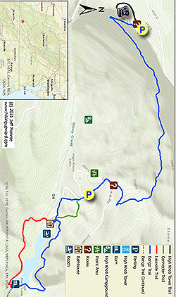
This relatively short hike covers the westernmost portion of the 16.6 mile Chief Benges Scout Trail and features a lookout tower at the summit of High Knob Peak, located at the trailhead parking area. It also explores the High Knob Recreation Area, a US Forest Service campground and swimming area open only from May 15 to September 15. If interested in a guide to the rest of the Chief Benges Scout Trail and other nearby trails, we recommend purchasing a copy of High Lonesome Trails: Hiking Virginia’s High Knob Region, published in 2021 by Wally Smith, a Biology professor at the nearby University of Virginia’s College at Wise. The Chief Benges Scout Trail is considered a good backpacking route. I did not see any campsites on the relatively short portion described in this guide, so campsites are likely further down the trail.
Forest Service roads that climb from the nearby City of Norton access the trailhead. Because High Knob is considered the wettest area in Virginia and holds the unofficial record for the most snow in a single year (200.5 inches in 1995-96), hikers should check with the Jefferson National Forest’s Clinch Ranger District at 276-679-8370 before attempting this hike in the winter. Driving from Norton, you will pass the Flag Rock Campground, a city-owned campground that is open for a longer camping season than the USFS High Knob Recreation Area, and has hot showers and flush toilets. Flag Rock also has a growing network of hiking/mountain biking trails.
-
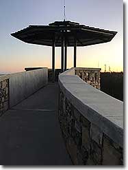
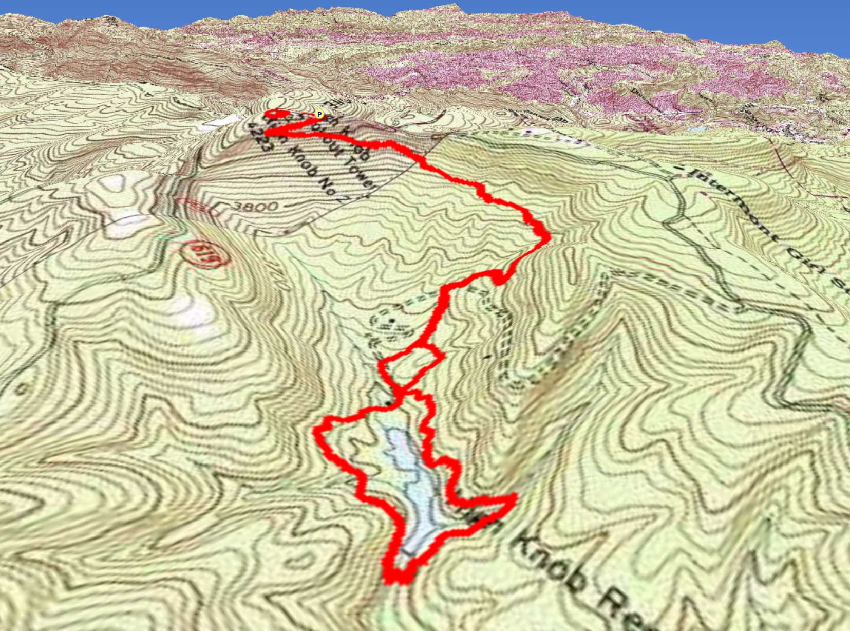
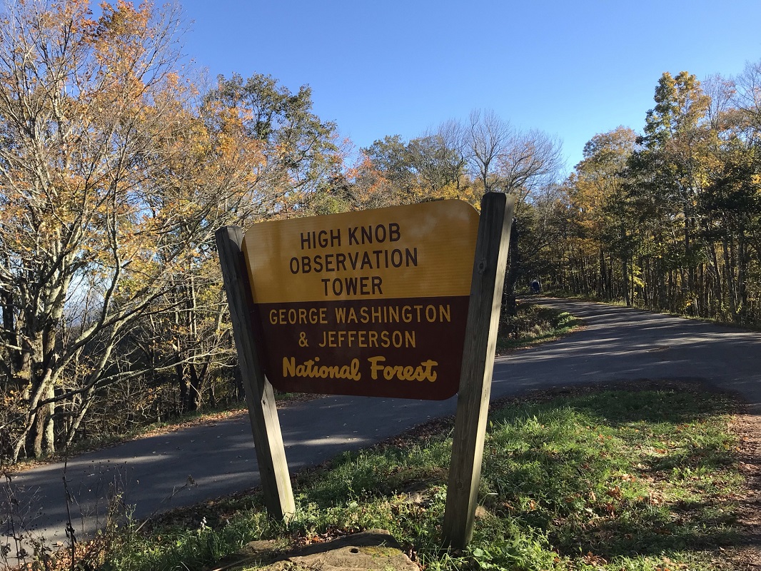
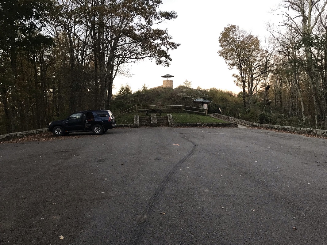
Mile 0.0 – The trailhead for this hike is the parking area for the High Knob Observation Tower. High Knob, at 4,223 feet elevation, is the highest point in the 131 mile long Cumberland Mountain range.
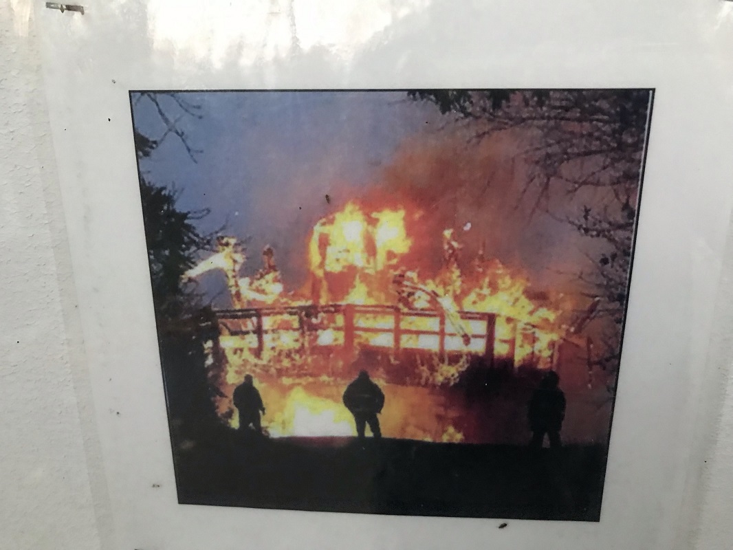
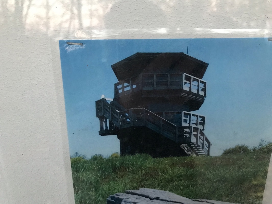
The current tower is the third one on this summit, as a 1939 tower burned in the mid-1970’s and the 1978 replacement tower was burned by arsonists on Halloween night in 2007. (Research uncovered that a 22 year old volunteer firefighter from a nearby town eventually pleaded guilty with an accomplice, and both were sentenced to just over three years in federal prison and ordered to pay over $500,000 in restitution.) Local interest powered construction of a third tower at a cost of about $700,000 that opened in 2014. The current tower appears to be very fireproof but is more modest than the previous tower. The tower is now one of the top destinations in the Jefferson National Forest’s Clinch Ranger District.
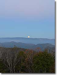
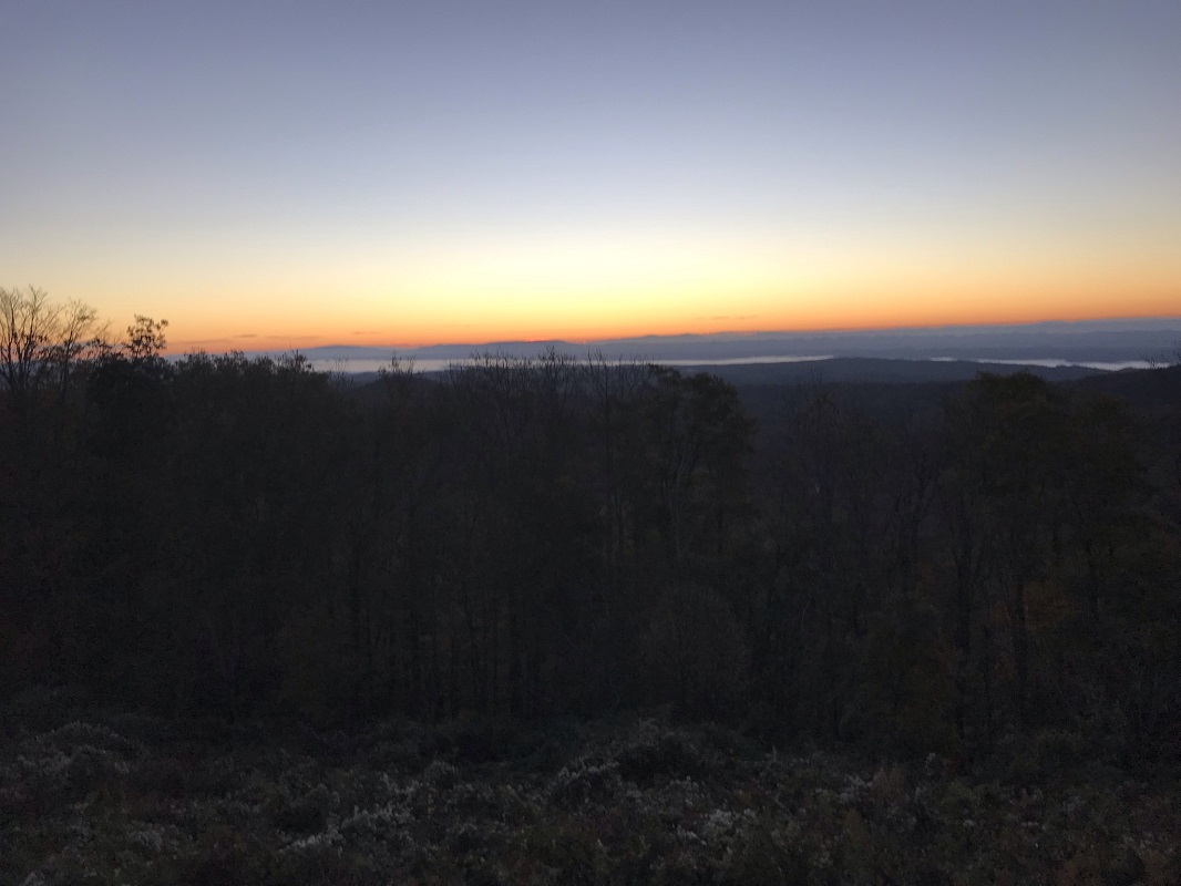
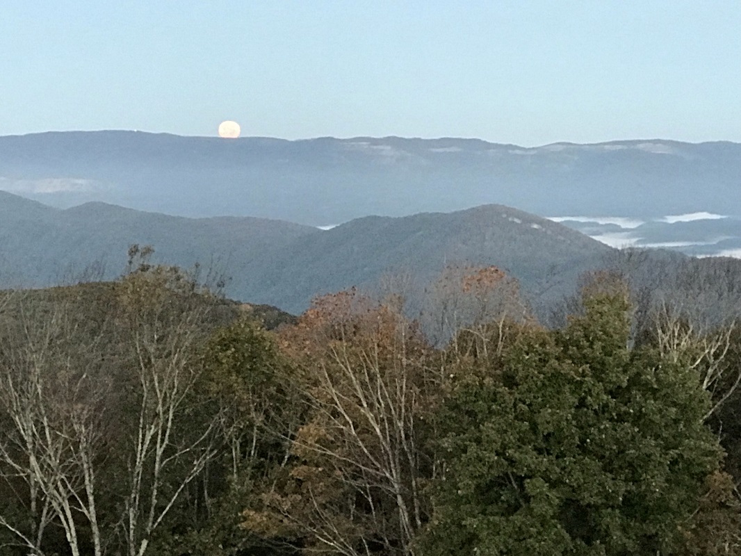
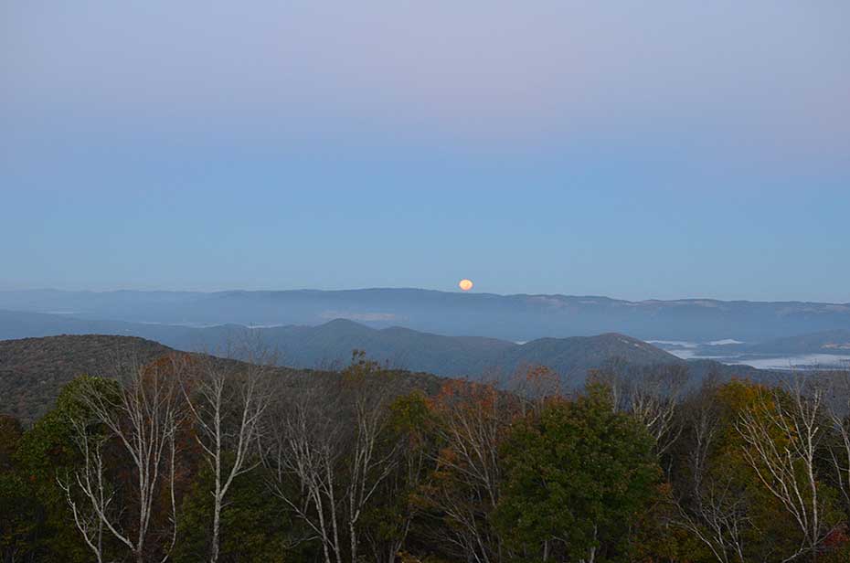
Be sure to travel up the handicapped accessible walkway to experience the views from this tower, with views as far as Kentucky, Tennessee, North Carolina and West Virginia. I visited at dawn during a full moon, and pictures could not capture the wondrous sights from this structure.
-
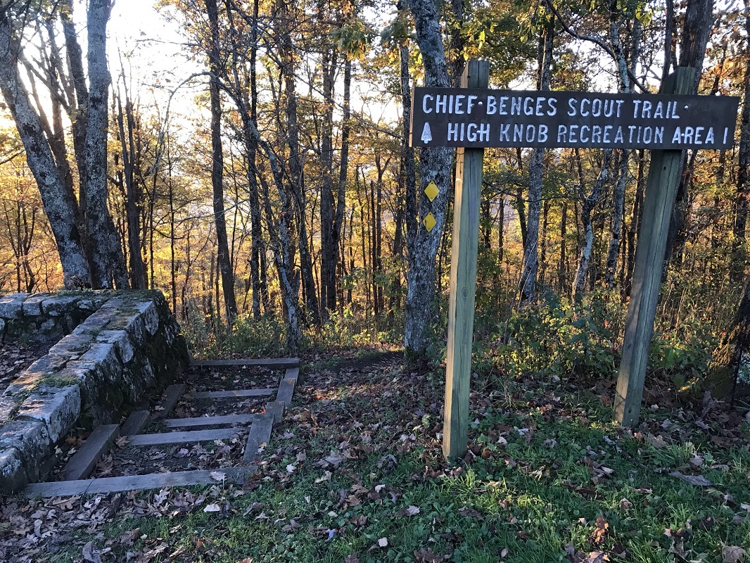
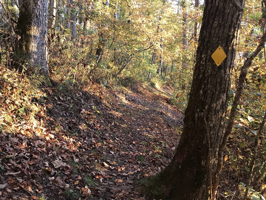
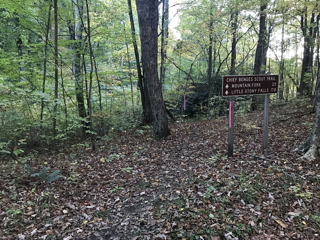
Mile 0.5 – After returning to the parking lot, the Chief Benges Scout Trail starts at the observation tower end of the large parking lot. Look for a large sign signaling the trail. Since the High Knob summit is the highest point, predictably the trail starts by descending after a quick switchback. The trail, marked by yellow diamonds, descends at a consistent 8% grade over the next 1.6 miles, dropping 730 feet. The trail is named after Chief Bob Benge, a Cherokee leader who raided early area settlements in the late 1700’s.
-
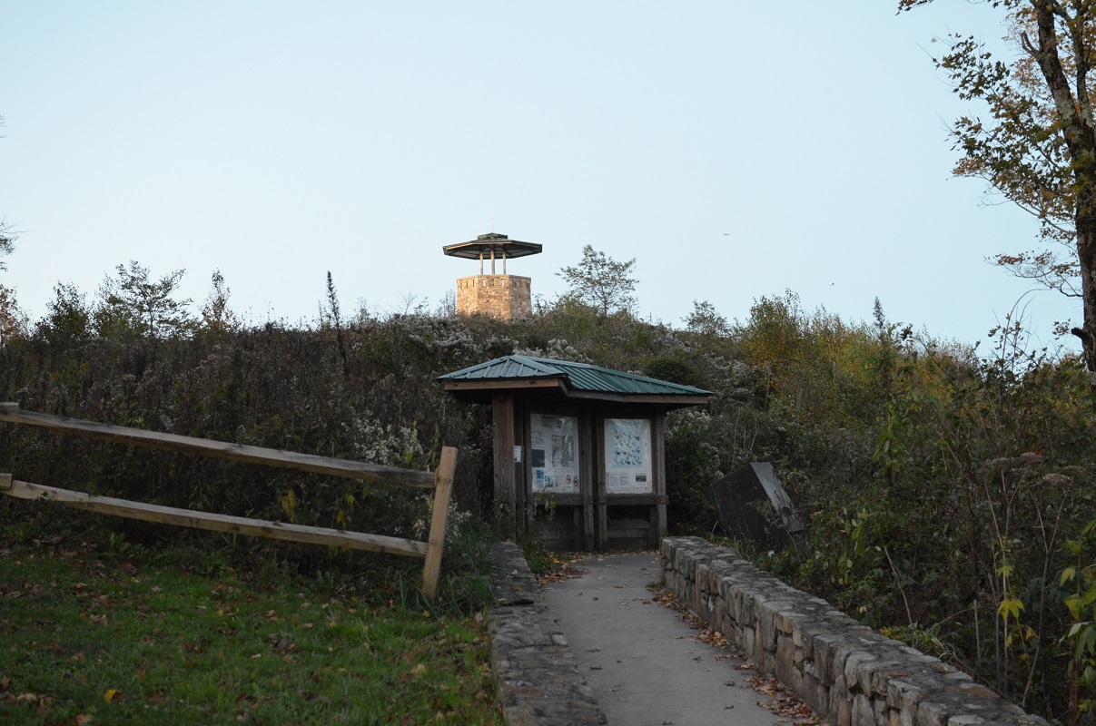
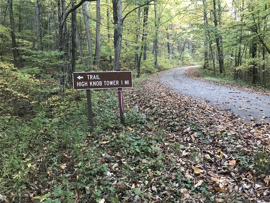
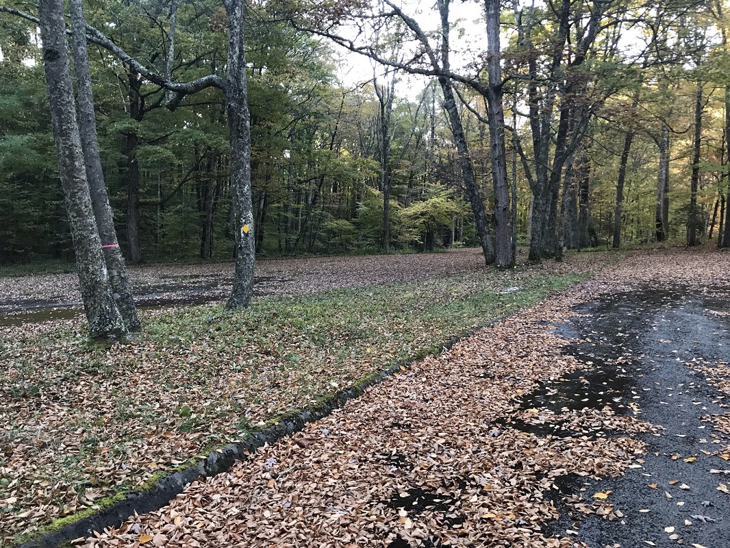
Mile 1.6 – Reach a gravel forest road with a sign for the trail. Take a right on the road, which crosses a creek, and look for yellow diamonds. A short time later, the trail re-enters the woods on the other side of the road, behind a large brown sign. The trail follows Little Stoney Creek.
-
Mile 1.7 – Pass a kiosk that explains that this trail “was developed along old railroad lines.” Shortly after the kiosk, the trail crosses the parking lot for the High Knob Day Use Area. There are picnic tables to the right. Cut across the parking area at an angle, looking for yellow diamonds on trees. (The campground in this area is straight – not diagonal – and then take a right on the access road. It is about 3/10 mile from where you stand here.)
-
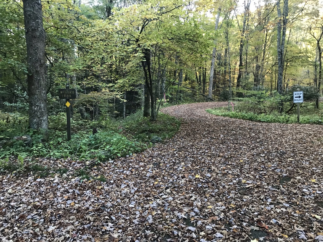
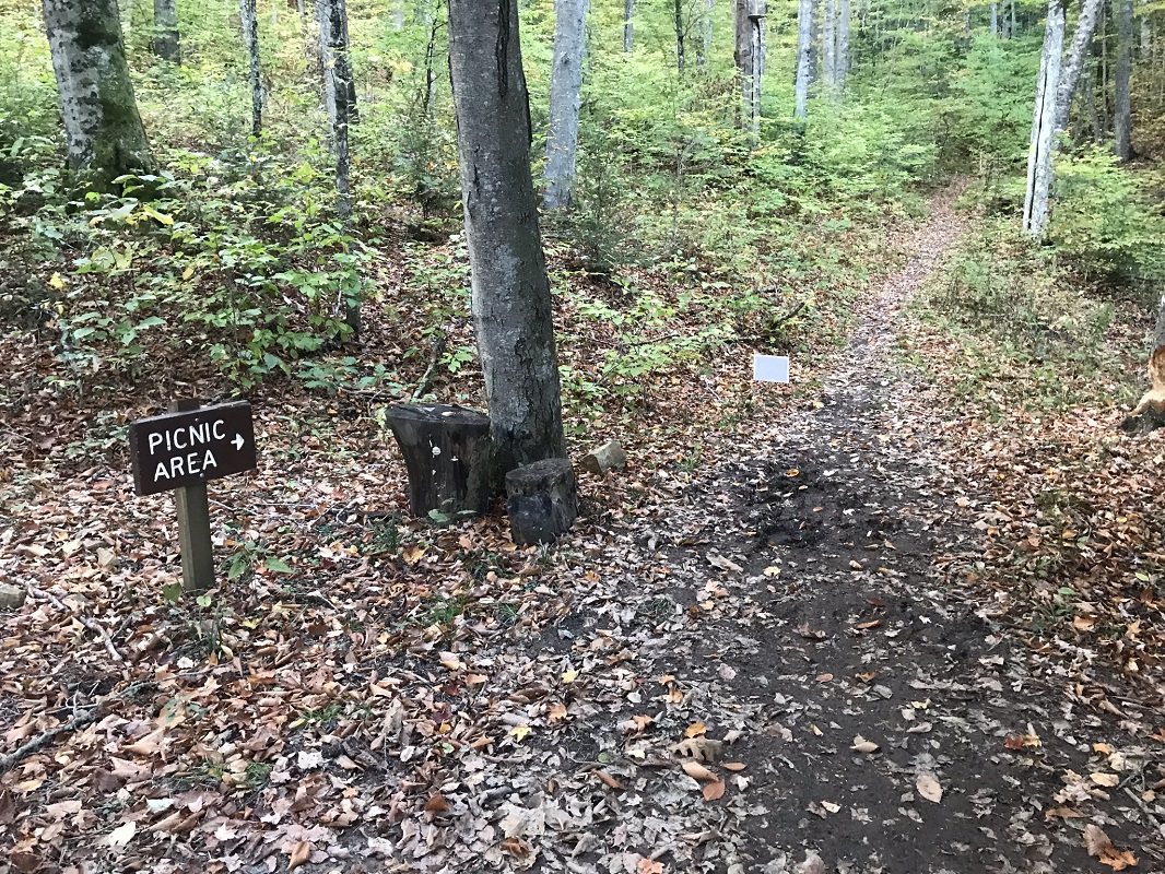
Mile 1.8 – At the far end of the parking area is a sign reading “Benges Trail” with a yellow diamond. Follow that. Another trail crosses shortly after leaving the parking lot. It is signed with “picnic area” and an arrow. Keep straight.
-
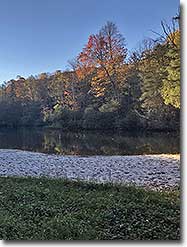
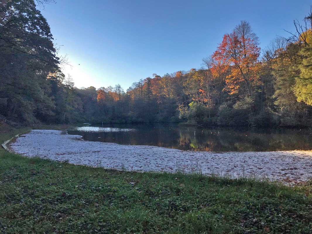
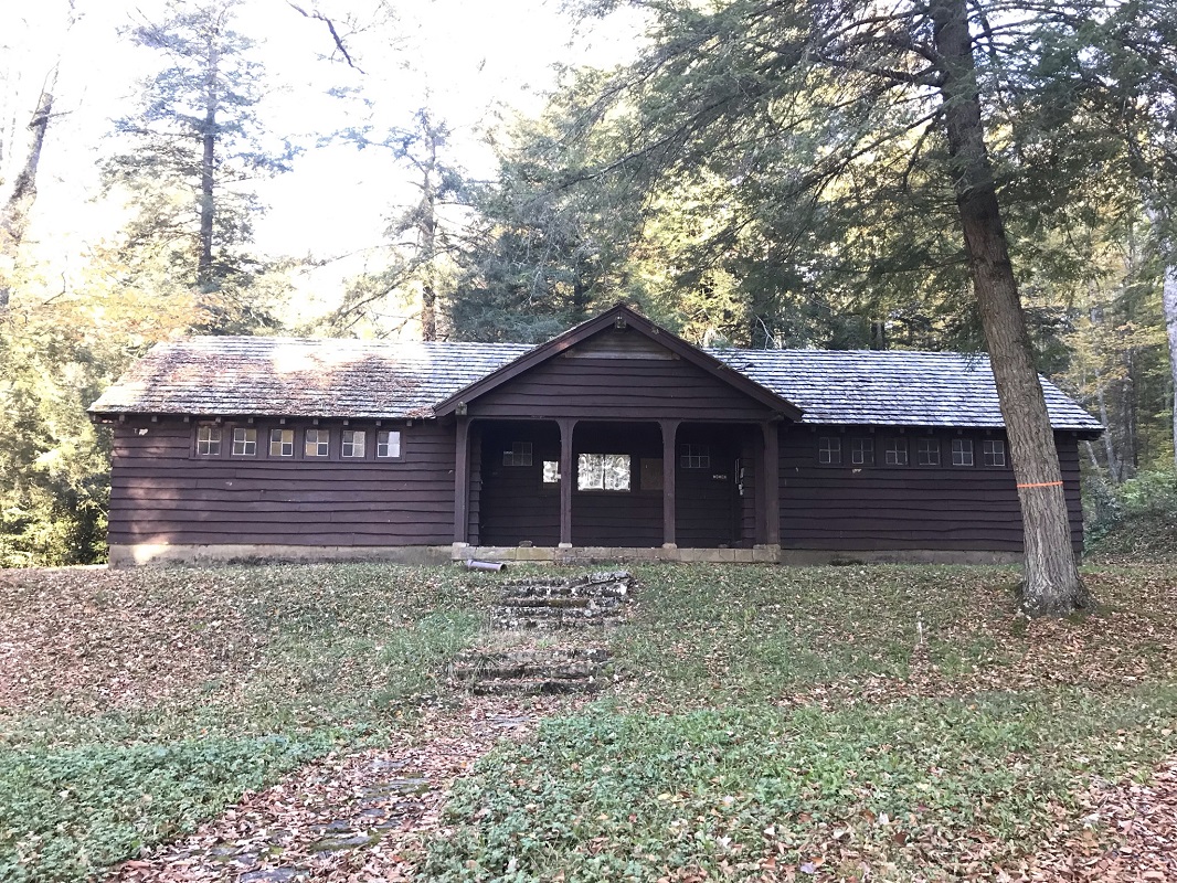
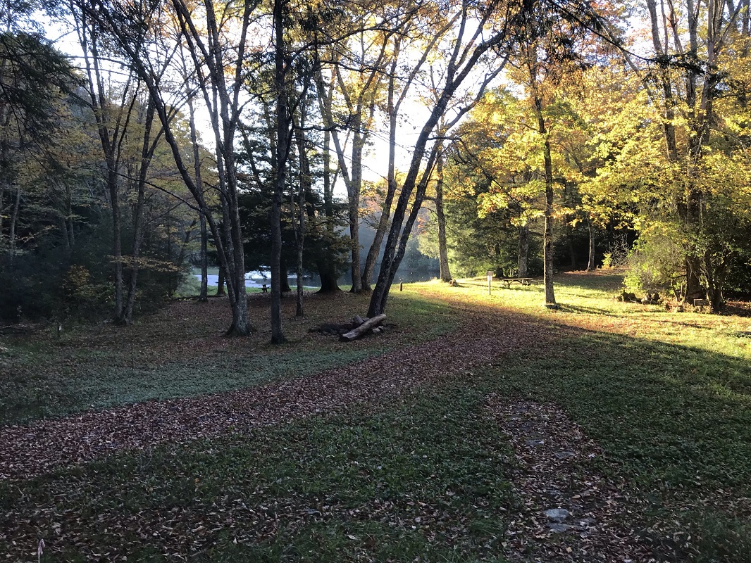
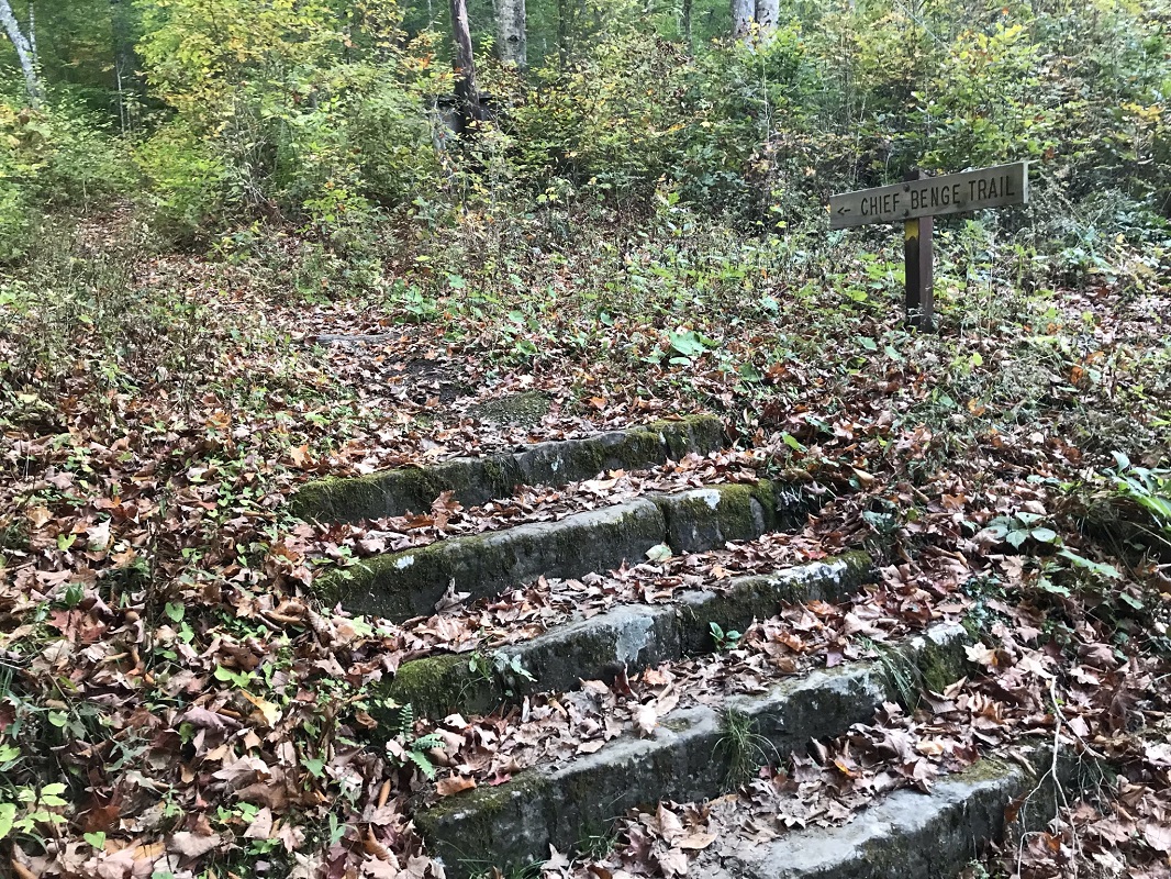
Mile 1.9 – Enter an open area with a view of High Knob Lake and the swimming beach. On your right is a beach house, open during the summer only. The Chief Benges Scout Trail continues to your left, up some stone steps marked by a trail sign. The trail follows the north shore of the lake, upslope, giving some nice lake views along the way. Another trail comes up from the swimming beach shortly after this point.
-
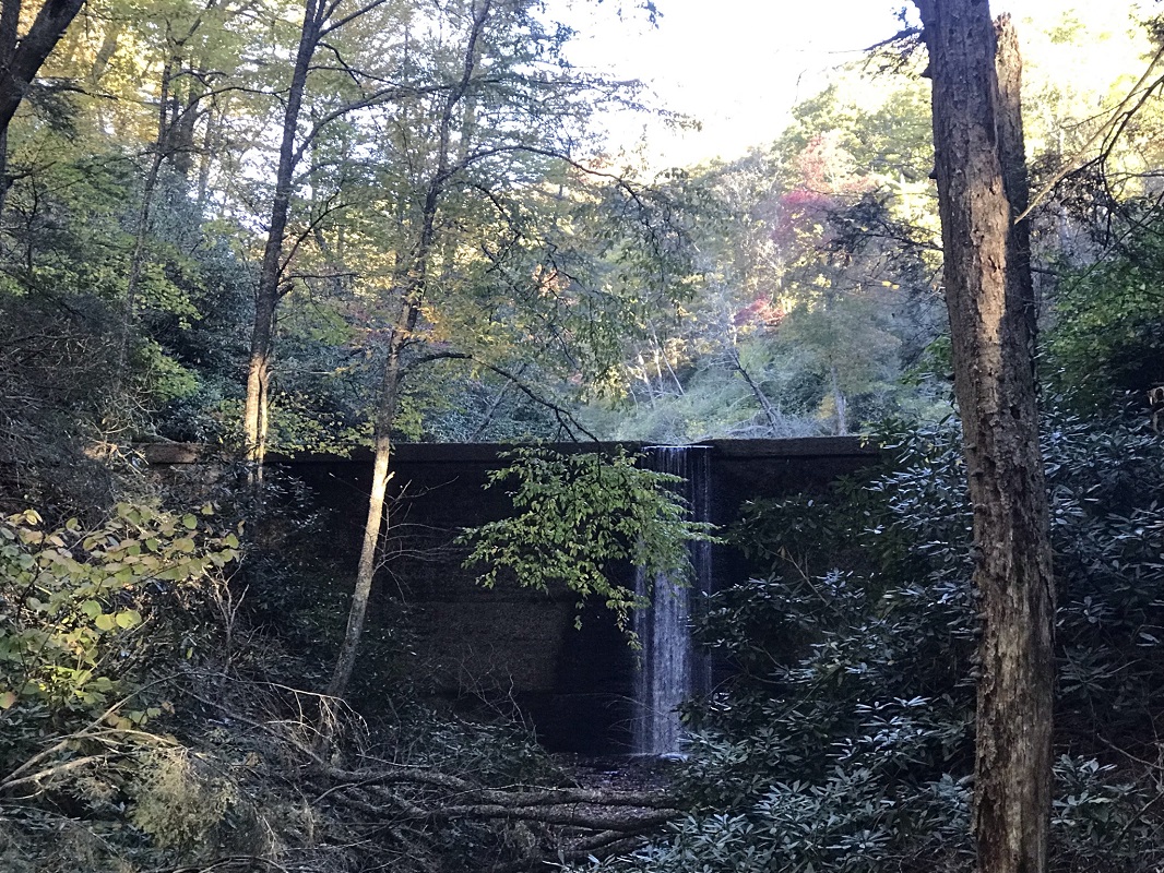
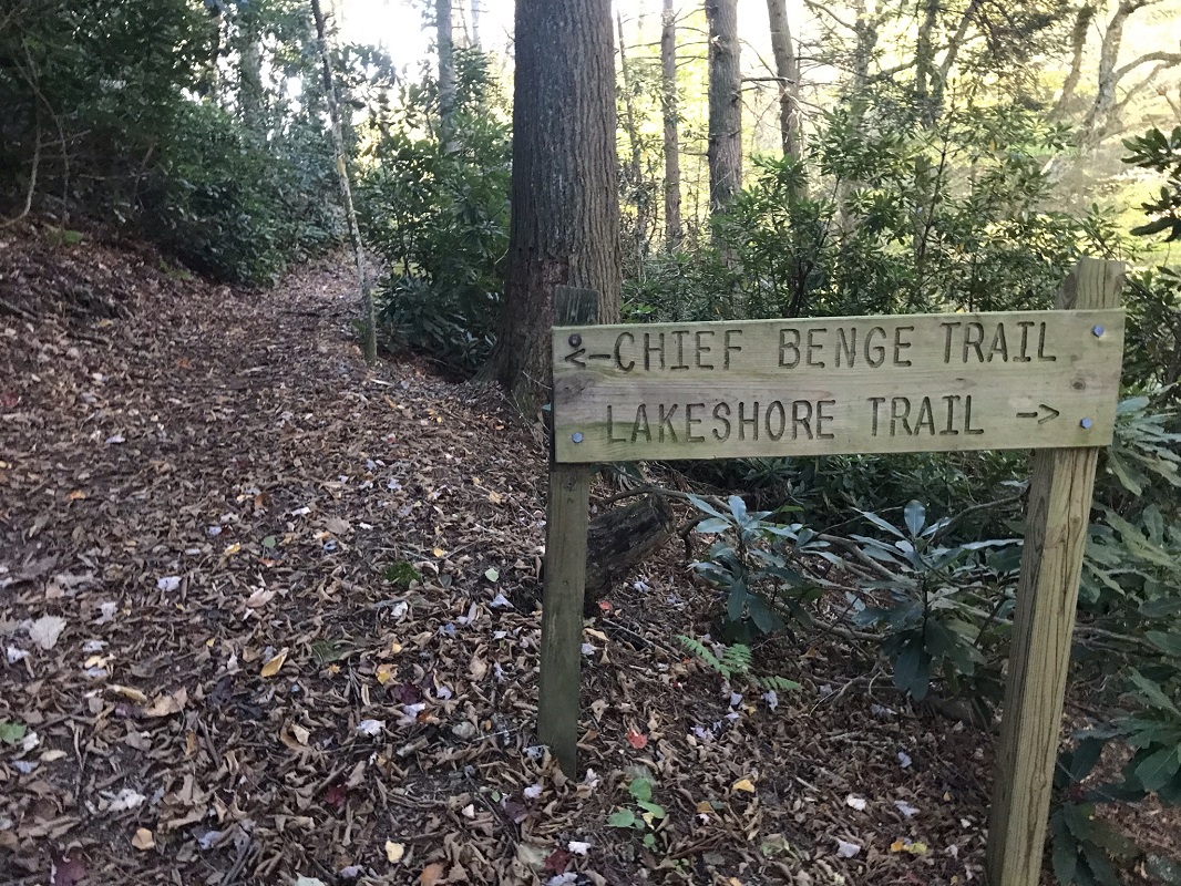
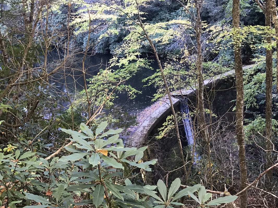
Mile 2.4 – At the eastern, dam end of the lake, come to a trail intersection. The Chief Benges Scout Trail continues straight at this point, but this hike description takes a right to circle the lake on the Lakeshore Trail. Descend to a bridge over Little Stoney Creek with views of the dam. The trail ascends again, giving views down to the dam.
-
Mile 2.8 – Cross a bridge spanning Little Stoney Creek and walk through an open area past the beach house. There is no established trail here – just head for the right side of the beach house and you will complete your loop around the lake and return to where you first encountered the lake. On the other side of the beach house, you have a choice: either retrace your steps, or follow the paved trail signed “to picnic area.” Both return to the same spot – the parking lot the trail crosses through diagonally. I chose the path not yet taken, then turned onto the Chief Benges Scout Trail.
-
Mile 3.1 – Reach the Chief Benges Scout Trail again and take a right. From this point, retrace your steps back to your vehicle.
-
Mile 4.3 – Reach the High Knob Observation Tower Parking Lot, and return to your vehicle.
|

