|
| Length |
Difficulty |
Streams |
Views |
Solitude |
Camping |
| 2.6
mls |
 |
 |
 |
 |
N/A |
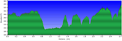
Hiking
Time:
Elev. Gain:
Resources: |
2.0 hours plus a half hour
for lunch
200 ft
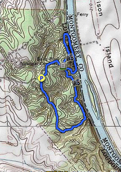
 Topo Hike Trails Map (PDF) Topo Hike Trails Map (PDF)
Leesburg VA Weather Forecast
Garmin (GDB), Gaia/Trails App (GPX) (What's
this?) |
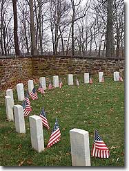
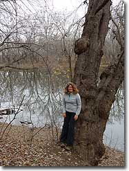
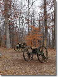
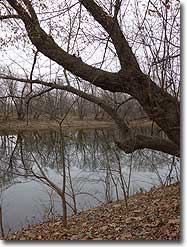
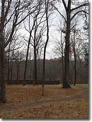
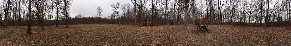
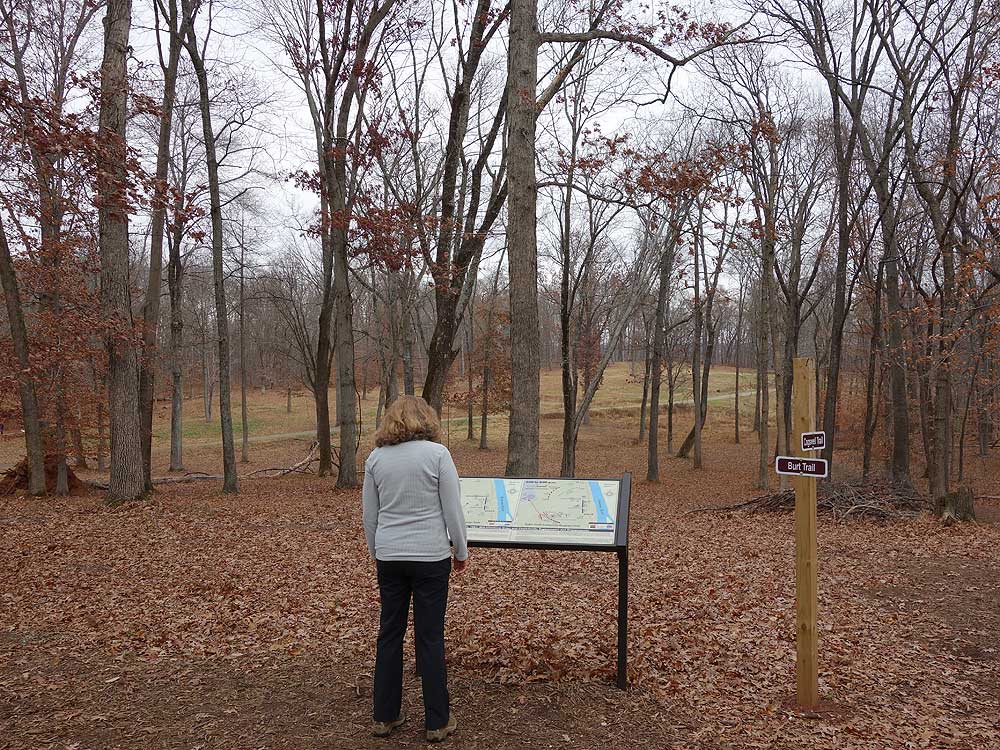
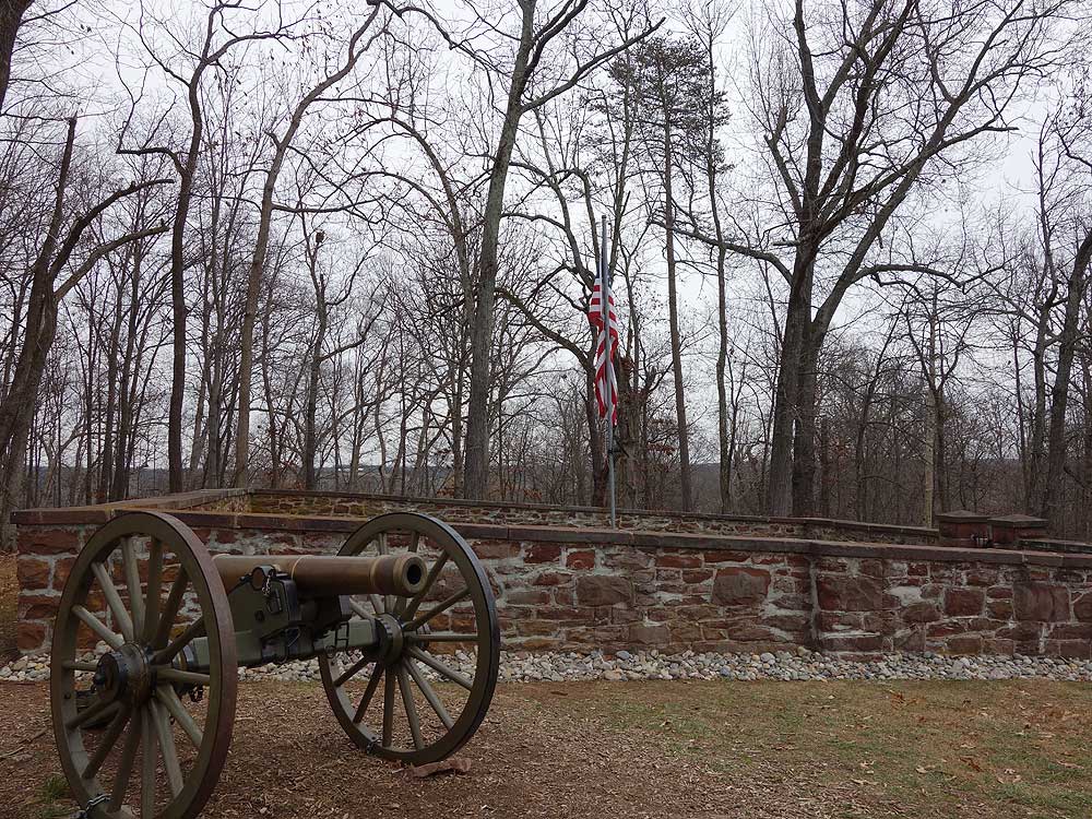
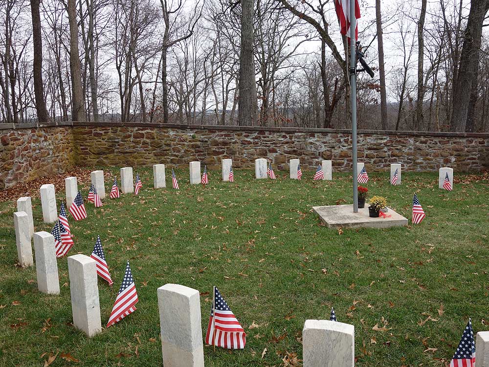
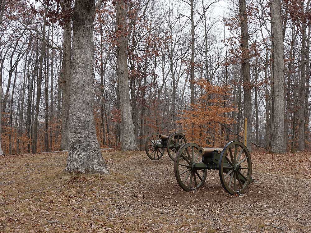
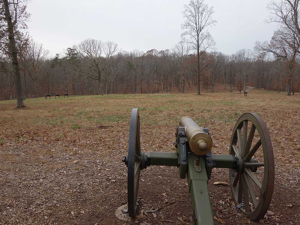
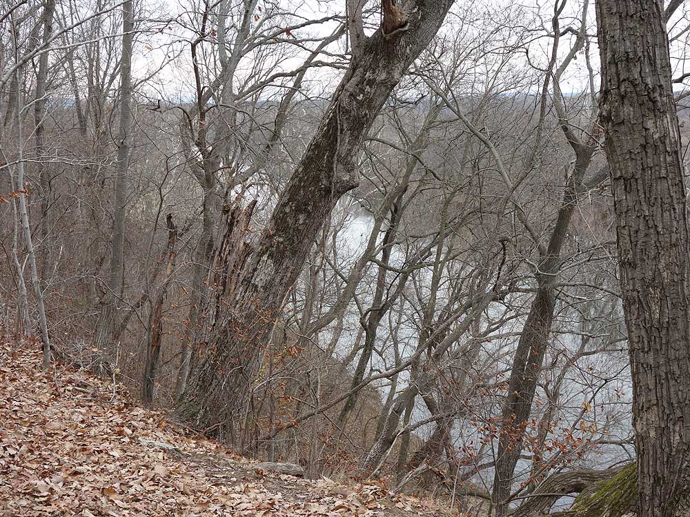
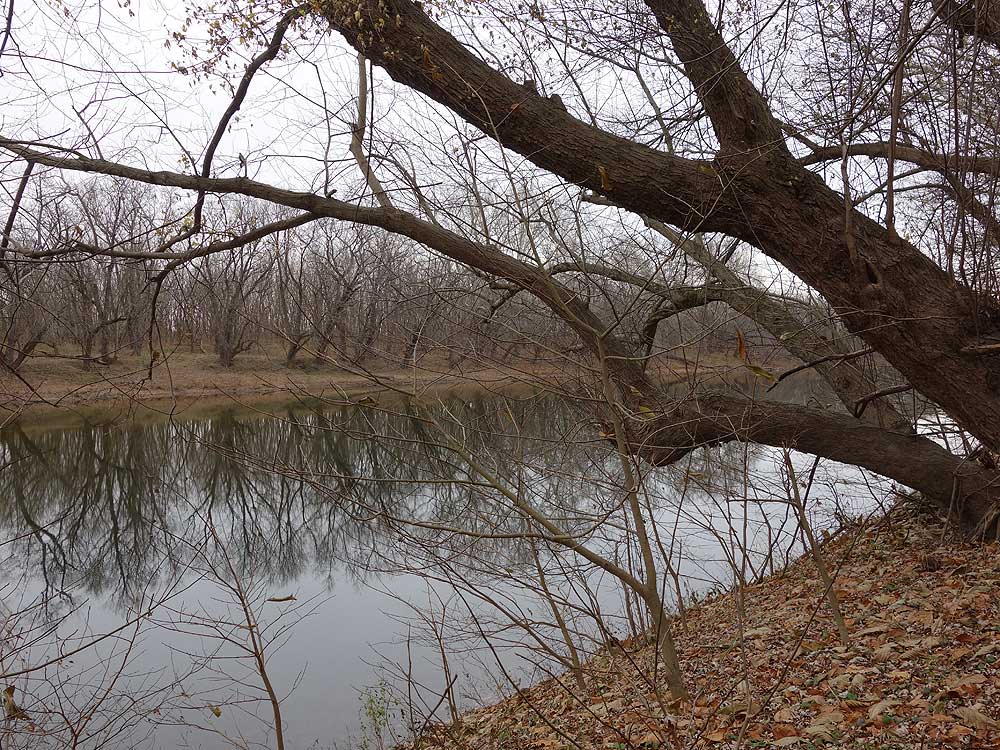
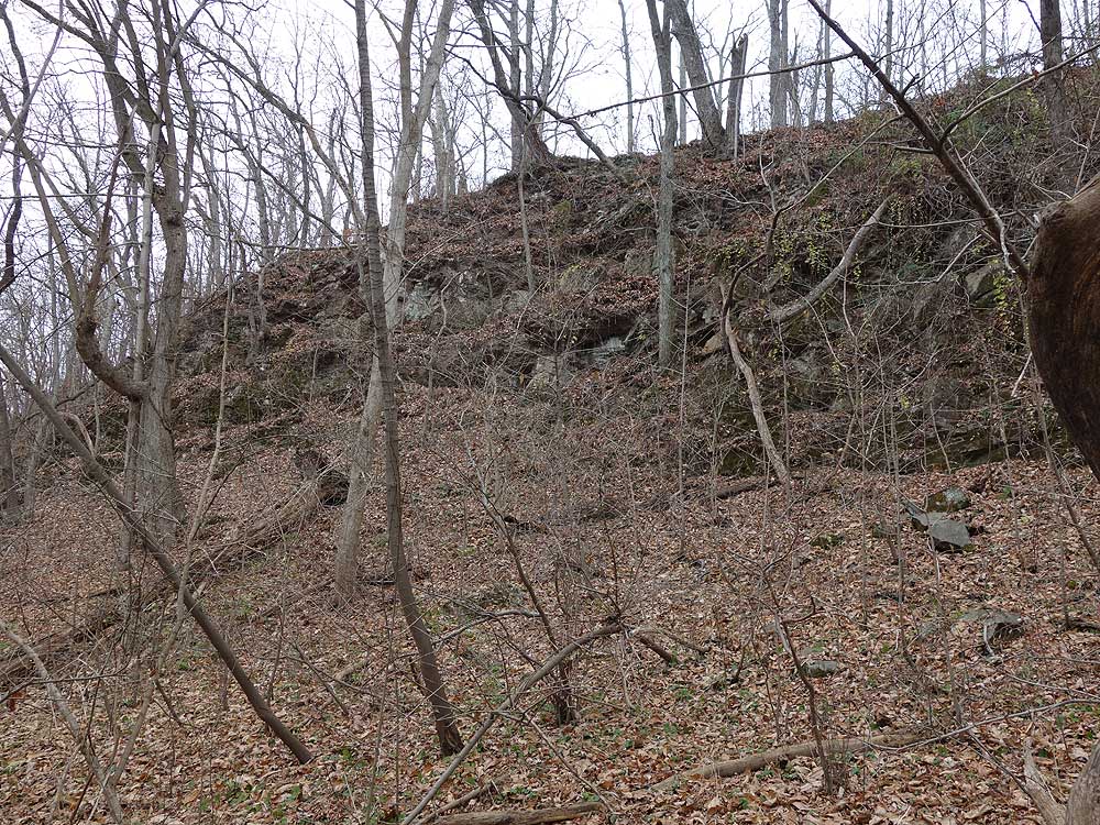
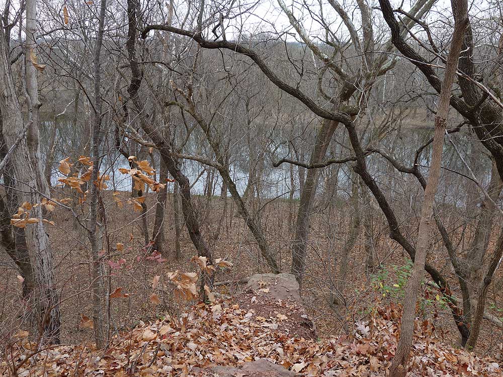
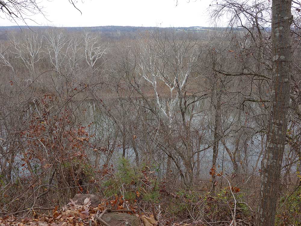
 Located in the heart of Loudoun County between the Potomac River and Leesburg VA, the Balls Bluff Battlefield Regional Park was the location of a battle that effected the course of the Civil War. There are many things to see in the park including the National Cemetery, Potomac River, and views from the sandstone shale bluffs. Make sure to print the trail map provided by the NVRPA as there are so many trails to explore having a trail map with you will make it a lot easier to navigate the park. Located in the heart of Loudoun County between the Potomac River and Leesburg VA, the Balls Bluff Battlefield Regional Park was the location of a battle that effected the course of the Civil War. There are many things to see in the park including the National Cemetery, Potomac River, and views from the sandstone shale bluffs. Make sure to print the trail map provided by the NVRPA as there are so many trails to explore having a trail map with you will make it a lot easier to navigate the park.
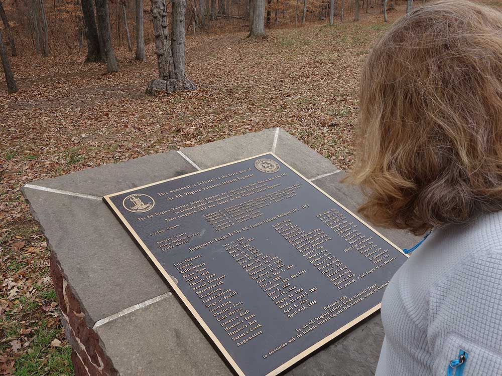
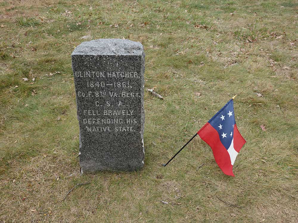
Battle of Balls Bluff - October 21, 1861
Early on the day of October 21, 1861 a Union raiding party from the 15th Massachusetts advanced on a presumed Confederate camp based on information provided by a patrol the previous night. This information was inaccurate, and the camp was actually a tree line misidentified as tents in the low light. Company K of the 15th Mississippi advanced from the southwest and clashed with the Union troops shortly thereafter. The Union army was then hampered by the slow arrival of reinforcements caused by too few boats able to transport troops across the river.
The battle turned into a rout of the Union when more reinforcements from the Confederate's Virginia Cavalry and Virginia 8th Infantry arrived by 12:30p.m. The now 700 strong Confederate soldiers attacked the 650 Union troops who then retreated back to the southern point on the bluff. At this time some of the fiercest fighting occurred, with 236 Union soldiers killed and 553 captured, and 36 Confederate soldiers killed with 3 captured.
Battle of Balls Bluff Troop Movement Map
|


