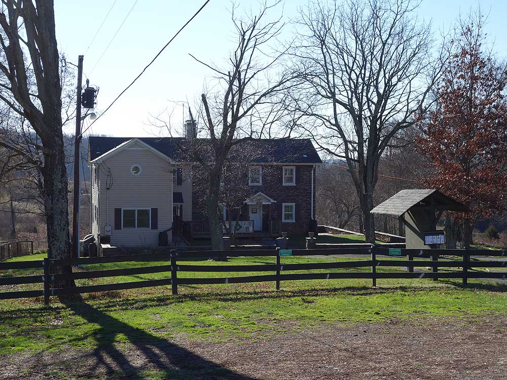
Banshee Reeks Nature Preserve nestled in the heart of Loudoun County on 775 acres next to Goose Creek, has more than 20 miles of hiking trails. The unusual name originates from the 19th Century Farm where in Gaelic 'Banshee' is a female spirit, and 'Reeks' refers to hills and dales. The preserve allows dogs on a leash but horses and bikes are not permitted. The trails and park are only open Saturday and Sunday from 8-4, with the Nature Center at the main parking area open on the 3rd weekend of the month.
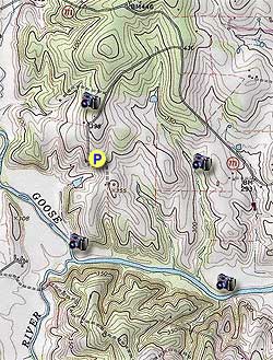
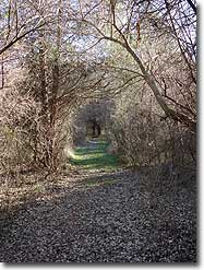
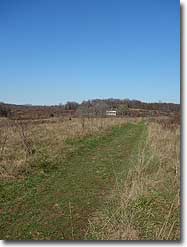
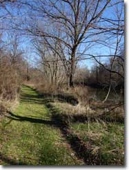
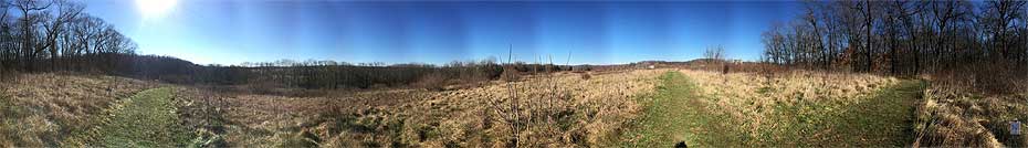
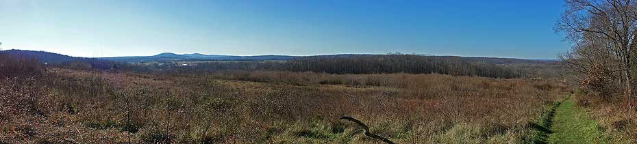
As you can see on the excellent trails map produced by the Banshee Reeks Nature Preserve, there is a virtual labyrinth of trails to choose from. The 6 mile/3hr circuit listed here uses the majority of the perimeter trails, but you could spend months exploring the different trail combinations.
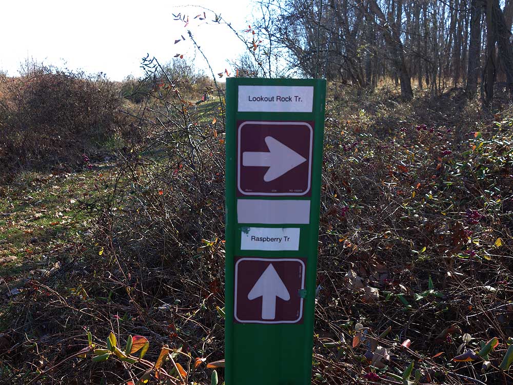
The trail signage is very good and combined with the preserve map, you should easily be able to navigate the park and put together a hike that's suitable for you.
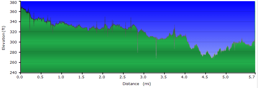
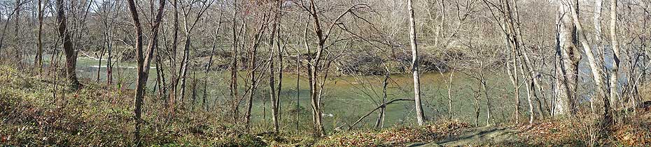
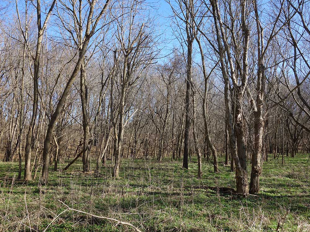
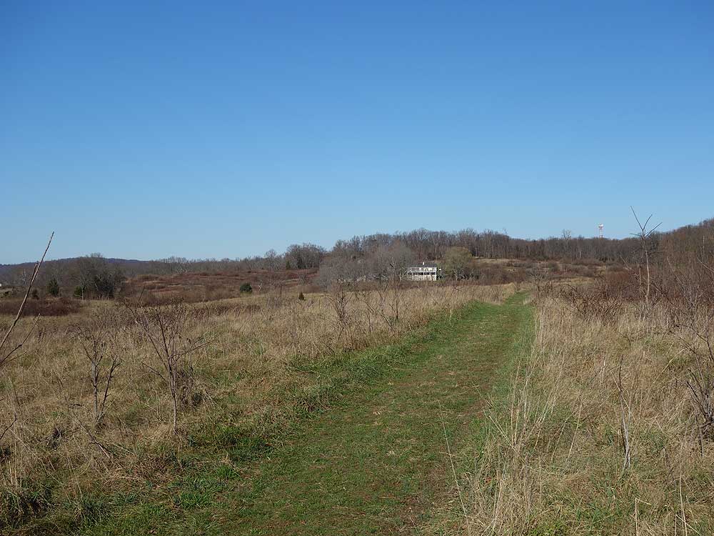
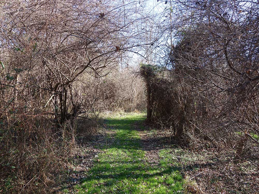
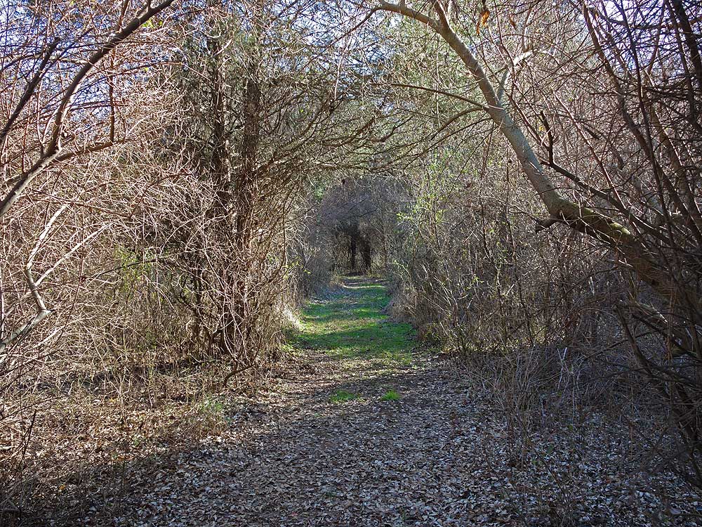
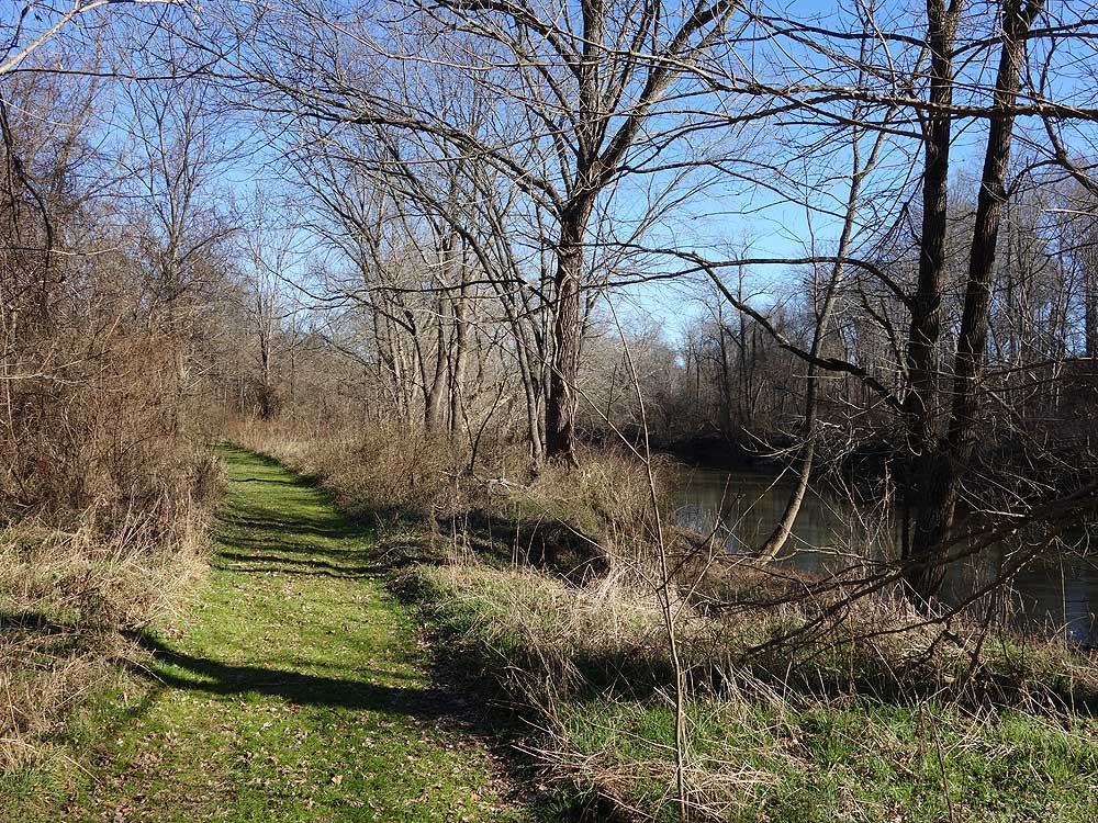
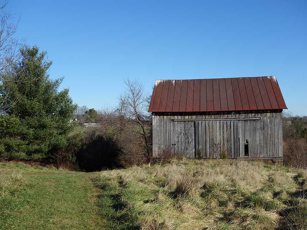
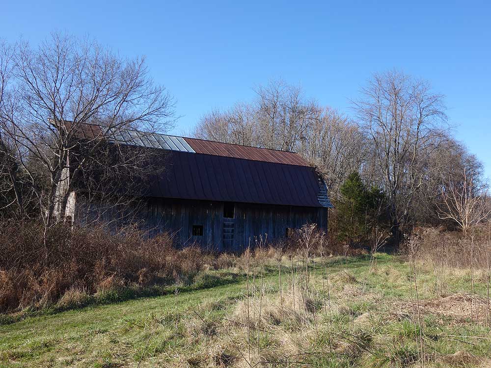
Below are just a few of the highlights from the perimeter trails.
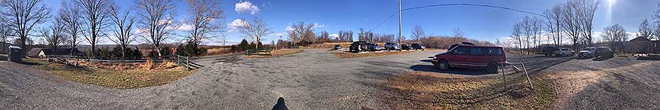
Overall this is a nice place for low-intensity hiking with interesting and diverse terrain and foliage. Mostly wide and smooth trails. A nearly full parking lot around 9 a.m. on Saturday morning. The visitor center was open and I picked up a printed color map the same as the one you can download here. My three-star rating is specifically for the 6-mile perimeter hike mentioned in the description and roughly mapped out by the GPX file of GPS data. I find the GPX file to be a rough outline of the hike that I wish were more granular, with waypoints at all intersections -- but it's generally OK and helped me when I lost the trail, as I now describe. The problem with the perimeter hike (at the moment) is the 1.5 mile "Wetlands" segment in the far southeast corner of the perimeter. This trail isn't mentioned in the description but is part of the GPX track. The bottom third of the Wetlands trail is overgrown and unmaintained. I hiked the perimeter counterclockwise and so tried to take the Wetlands trail north. I lost the trail in parts. I ended up bushwhacking north about 1000 feet -- not a fun bushwhacking but through brush -- and was ready to turn back when I ran into someone hiking south who was also looking for the trail. I gave him the best guidance I could. He directed me to a point behind him where the Wetlands trail became more distinct and then I was OK. Note the nearly parallel Bankbarn trail is in the description, but it's not on the GPX track. So, if you're doing the perimeter I suggest avoiding the Wetland trail and taking the Bankbarn trail (assuming it's OK) instead. My last comment is I was disappointed to see a box turtle that recently died lying on a tire track on one of the wide trails. It's shell was cracked and I expect it may have been run over. I moved the remains off the trail. To those who operate vehicles on the trails (many are mowed), please watch out for wildlife.
By:Diana H
Rating:
Date of Hike: Saturday, February 23, 2019
Really nice nature preserve. They are now open everyday of the week except Monday and Friday. These are their current posted hours: November - February: 8 am to 5 pm, March: 8 am to 6 pm, April - September: 8 am to 8 pm, October: 8 am to 6 pm. Not a bad stroll, nothing terribly exciting, but peaceful.
By:Mark
Rating:
Date of Hike: Sunday, January 7, 2018
Always love hiking at Banshee Reeks (it's only 10 minutes away), just wish it was open during the week. It's amazing to me in this area with so much development that an area like Banshee Reeks exists still with miles and miles of trails. I've been here many times and always find different routes to take and rarely do one a second time. You can go for a couple miles or pretty much hike all day if you want to. No great views really (though nice ones) like mountain hikes, but lots of variety of terrain and geography to experience. Very quiet and peaceful and rarely run into other hikers so it's a great place to take my dogs. They do a great job keeping the paths mowed and cleared when through meadows or in the woods where trees have fallen. Highly recommend it for a nice local hike for those in the Loudoun County (and beyond).
By:H&A
Rating:
Date of Hike: Sunday, June 25, 2017
Very peaceful nature walk!! My dog and I enjoyed it very much and we will revisit soon.
By:Teri C
Rating:
Date of Hike: Saturday, April 8, 2017
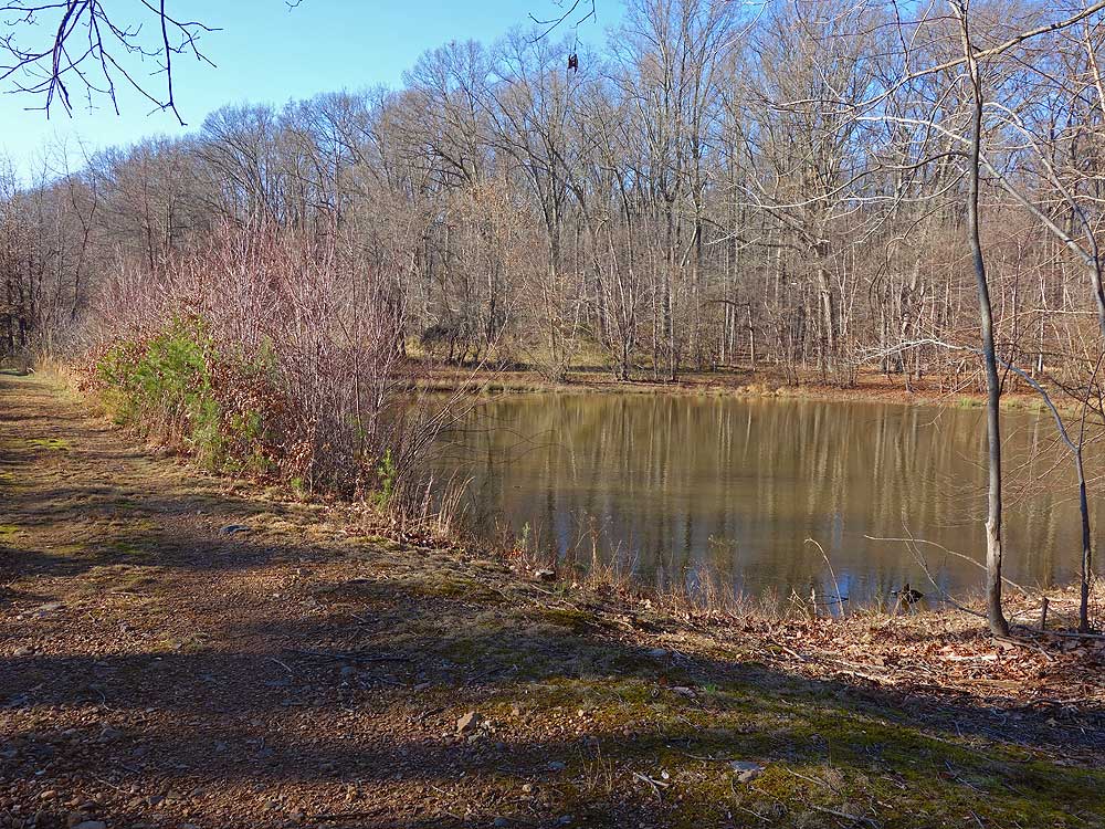
Nice hike. We did about 3 miles of the many trails in a little over an hour. I like the diversity, forested areas, meadows, creeks and ponds. Lots of birds, ran into large group of tree swallows.
When we arrived there were 20 or so cars in the parking lot but we only ran into two other families on our hike.
Most of the trails are wide mowed tracts but some of the trail markers have been worn off by the weather. Lots of criss-crossing paths, a map is very useful or practice your orienteering :)
By:GDehne
Rating:
Date of Hike: Sunday, November 20, 2016
Our small hiking group was looking for a safe hike on Sunday 11/20/16 when Gale Force winds were predicted for the region. We have learned to avoid the danger of being on the ridge of the mountains in a stand of old trees in high winds. We wanted something on a hillside with southern exposure and young trees and vegetation for protection. We couldn't have picked a better hike. Gale Force winds, 45-56 mph, were reported at nearby Godfrey Airport in Leesburg, VA during our hike. We felt the wind but only up to 25 mph by the visitors center but for most the hike, we felt the wind to be up to 15 mph.. It was windy but the terrain gave us good protection.
We liked the trails with the good signage that actually matched the map we printed from this website.
We had the trails to ourselves and enjoyed every minute of the hike. The place merits a revisit for us. It would be interesting to see it in the spring. I can imagine lots of birds and other wildlife. Even saw evidence of Pocket Gophers, something we have not seen before in hiking.
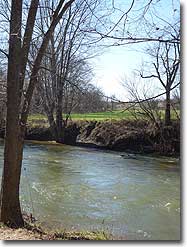
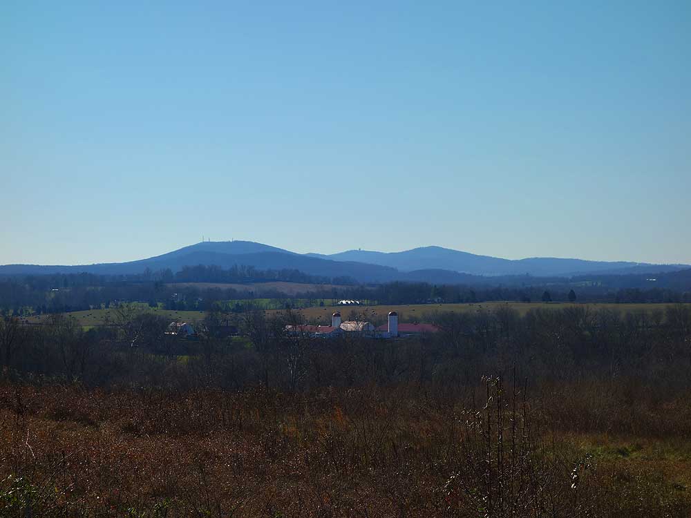
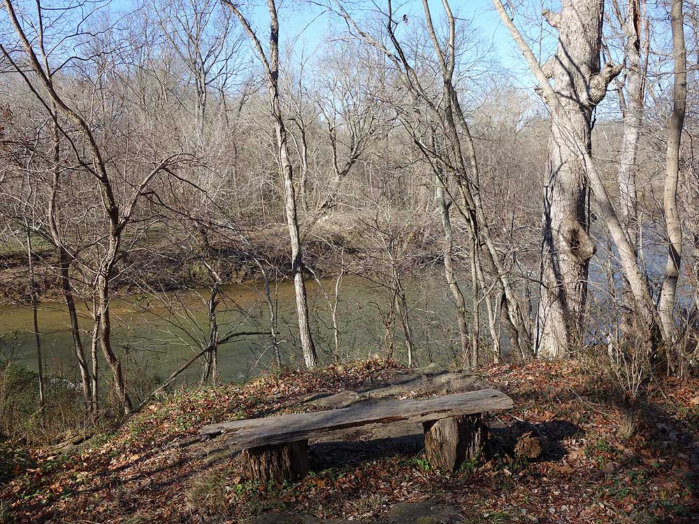
Don't let our 3 star rating discourage anyone from visiting. It might be the lack of difficulty that would not appeal to many. The short trails, streams, and the Goose Creek add a lot. There was a bench placed along one of the nicest trails with a view of the woods and a stream. It was thought-inducing moment to pause there and enjoy being there. You could draw the scene, create a painting, write a few lines for a poem, or just enjoy.
It would seem like a good place for families with small children because the trails are easy and the short trails with many intersections give a chance to modify the route according to interest and endurance.
By:Songe
Rating:
Date of Hike: Sunday, April 24, 2016
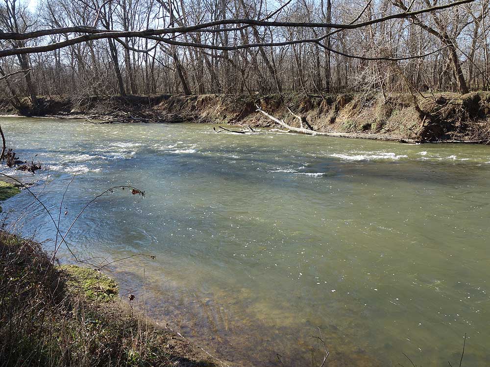
Nice meadow hike. Especially enjoyed the creek (Goose Creek Trail) and the pond (Spring House Trail). Watch out for ticks though! Found 3 on me and 1 on my husband
By:Hans (und Heidi)
Rating:
Date of Hike: Sunday, February 7, 2016
Heidi always sees the good and gives a 4 star,and was charmed by the old buildings I thought less of this place w 2 stars. It was closer to home, that was nice mit limited time for the Supper Bowl . This day was 50 degrees with 8"-12" snow remaining in the low lands. The snow become like walking on a memory mattress so it made for a pleasant walk.
We walked the Old Log trail in mostly snow, and shortly upon heading north up the Bank barn trail the area was flooded , being frozen over. here and there. We swung wide of the trail following the animal trails to find suitable crossing and bushwhacked back to the trail. Return was by the Greenway route, which was a pleasant mud slog. We saw no one on the trail, and were the first to walk the Bank barn Trail since the big snow.
The wildlife here is abundant as the tracks from turkeys, critters and deer were everywhere. I would take heed of the warning signs that the place is infested with ticks.
By:Brian
Rating:
Date of Hike: Saturday, January 16, 2016
I'm so glad this hike is finally on here. I've done this hike many times over the years, but not always along the same path that's described above. The park features many interconnecting trails so that you can build your own hike depending on what you'd like to see. Because the park is circular and the paths do a good job of criss-crossing the entire park, this is a great place for photographers since you can stay out well into golden hour and not necessarily have to hike out in the dark, or for people with limited hiking ability (older, younger, or inexperienced). It's also a great place to test out orienteering skills, since you can only get *so* lost in such a small park.
Wildlife is a big draw here. On any given day you can see many species of hawks and even eagles, songbirds, and mammals from the trails. The museum they have on the grounds is interesting and would serve as a good primer for people unfamiliar with the local ecology, or for children who can learn what to look for while they're out on the trail.
The area changes dramatically depending on the season, so this hike is worth multiple trips.


