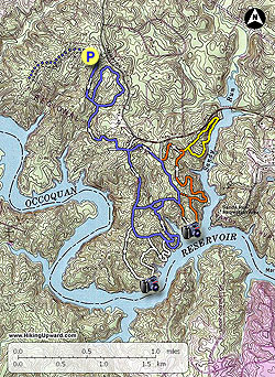
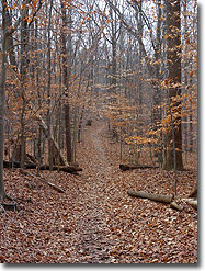
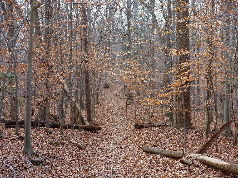
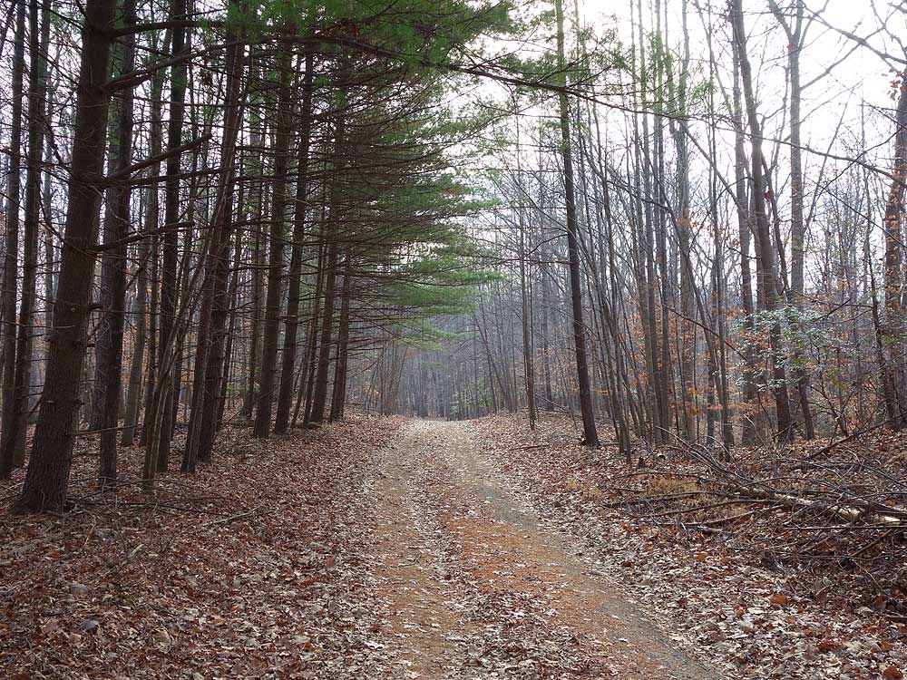
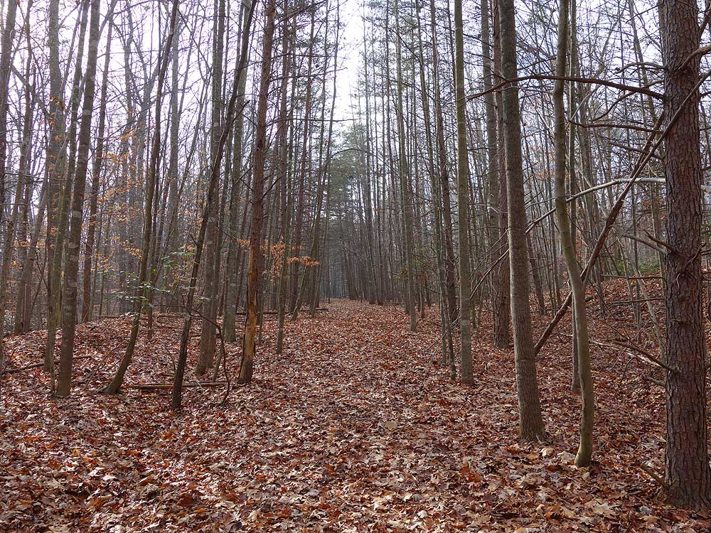
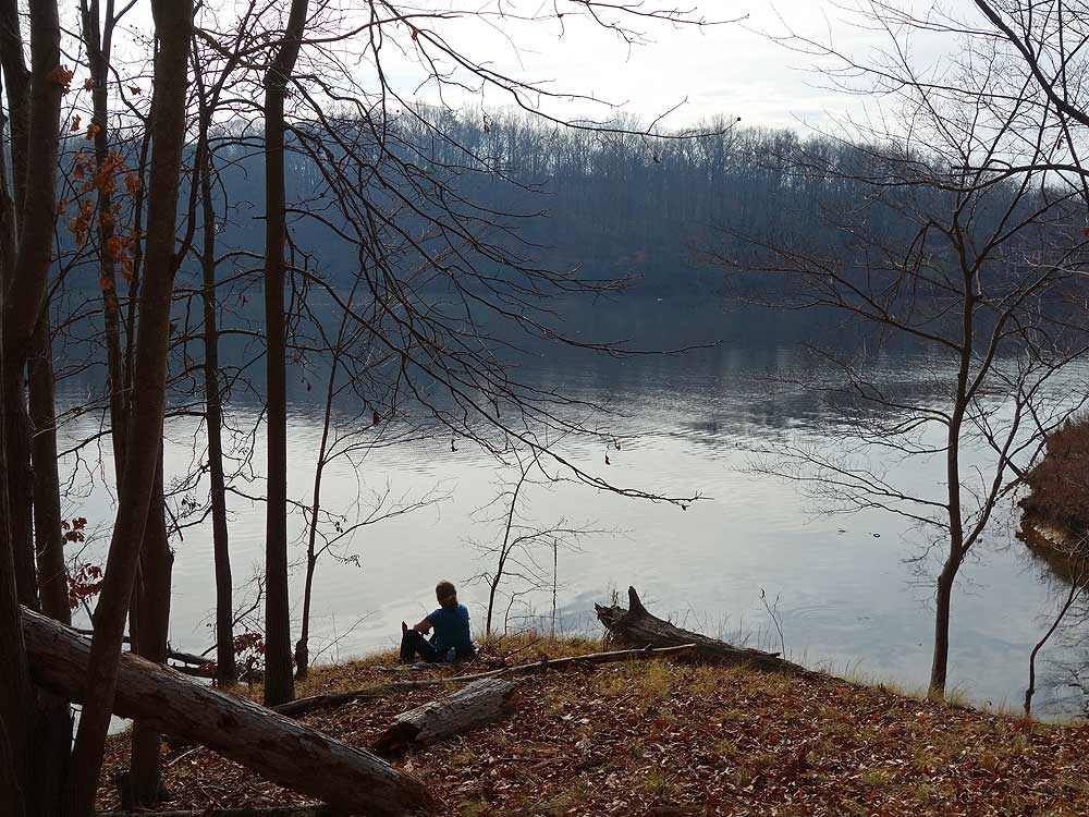
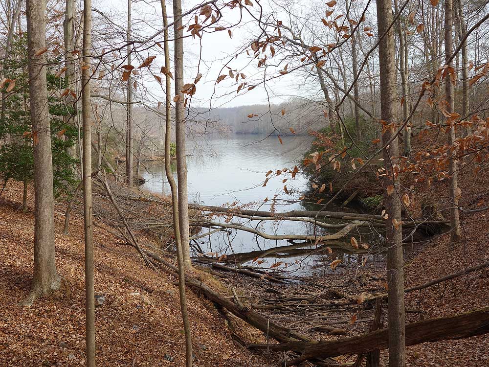
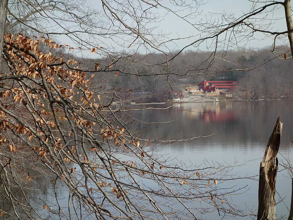
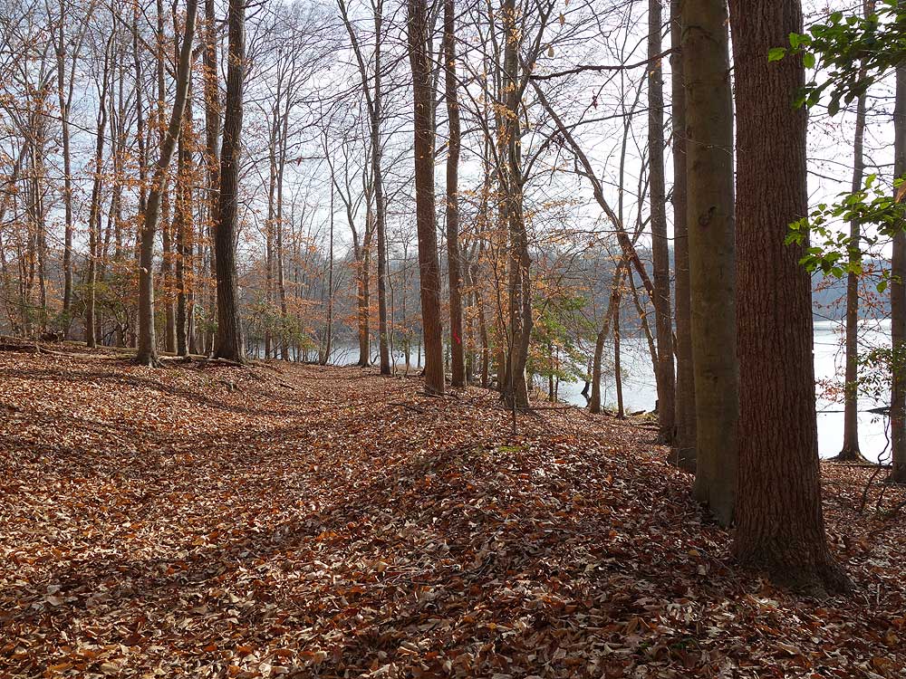
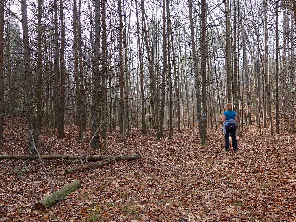
Fountainhead Regional Park, on the banks of the Occoquan Reservoir in Fairfax County Virginia, has a labyrinth of hiking trails with surprisingly low usage. The park is broken into 2 areas, a mountain biking-only set of trails on its western side, and equestrian/hiking-only trails on the eastern side. The white, orange and portions of the blue trails near the reservoir are a true walk in the woods. This area requires going from balze to blaze with no discernable trail in most places.
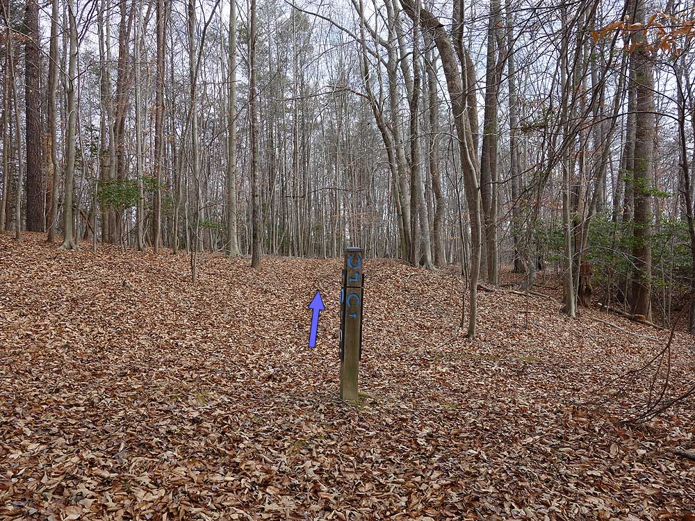
Note: The trail intersection numbers (Intersection ) in the trail notes below correspond to the Topo Map Directions with this hike only, and are not part of the official park markings.
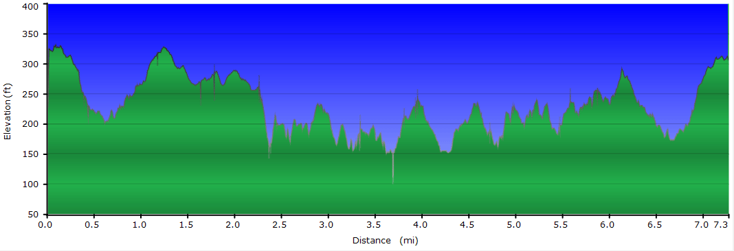
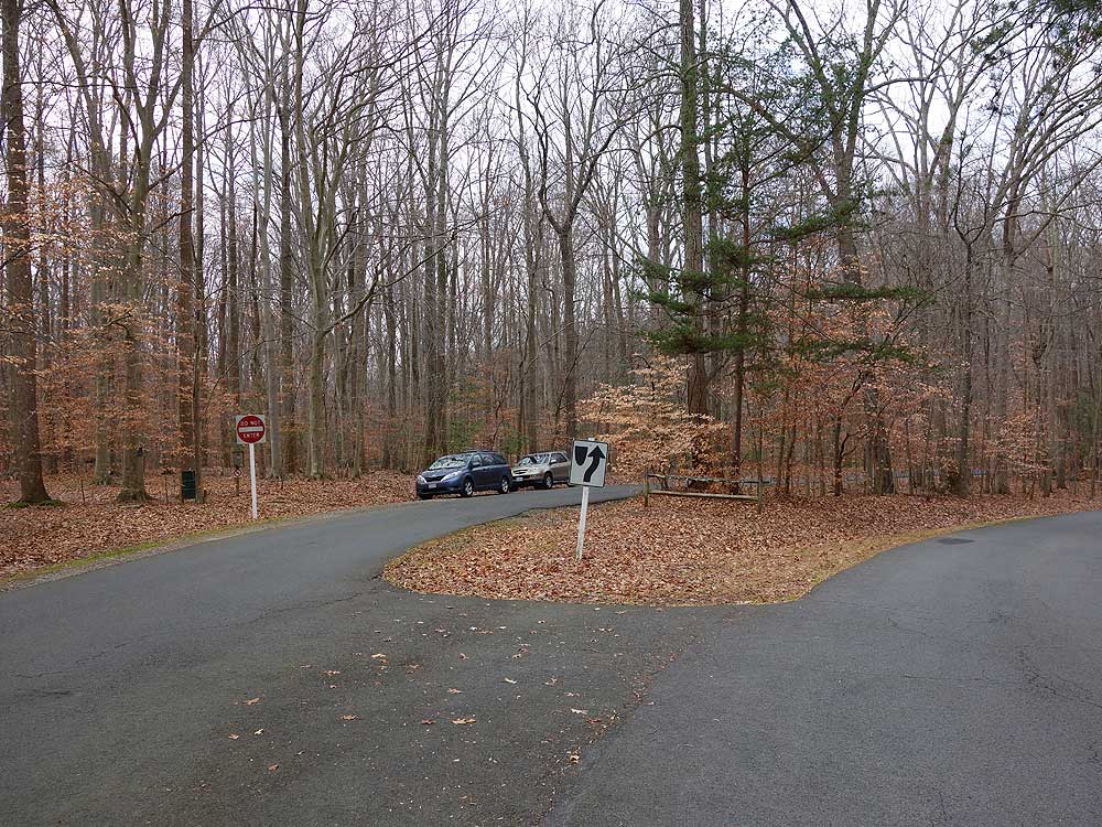
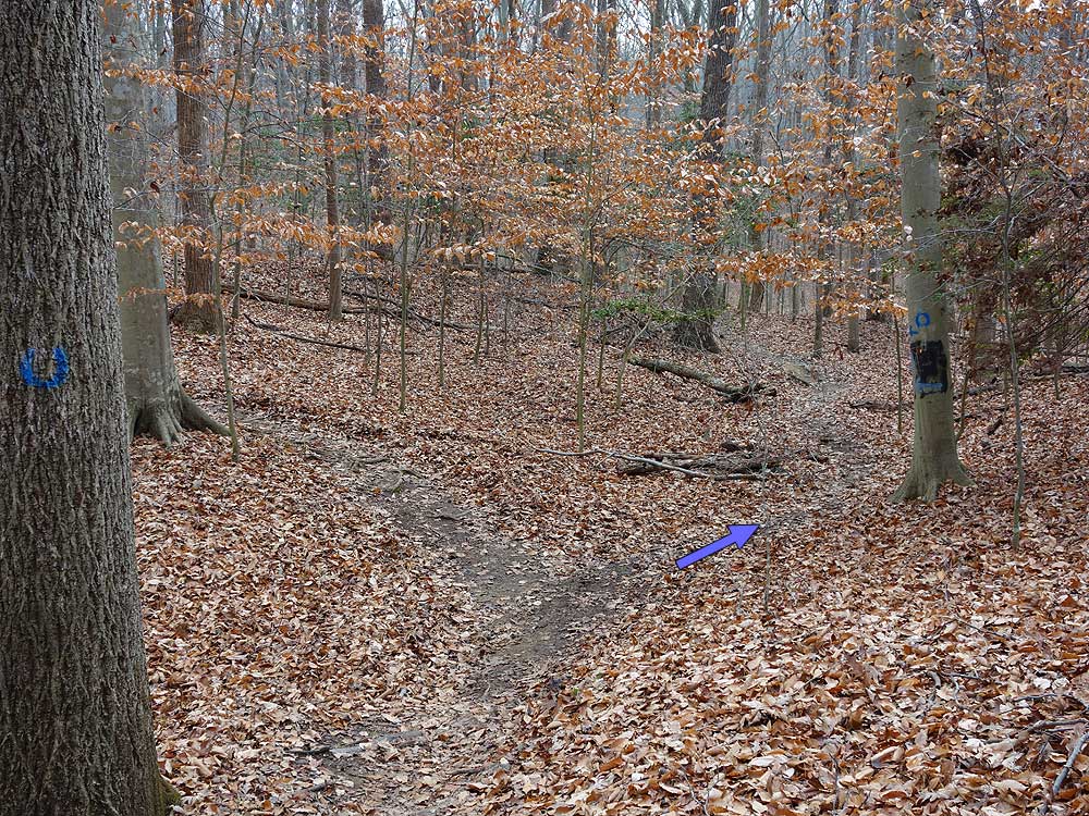
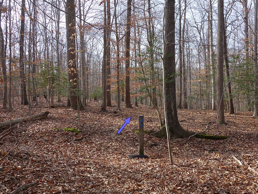
Mile 0.0 – Start the hike from the parking area on the blue blazed trail. Pass the information box and first blue horseshoe, then follow the trail for 0.37 miles to Intersection (no trail post) at the bottom of a gully.
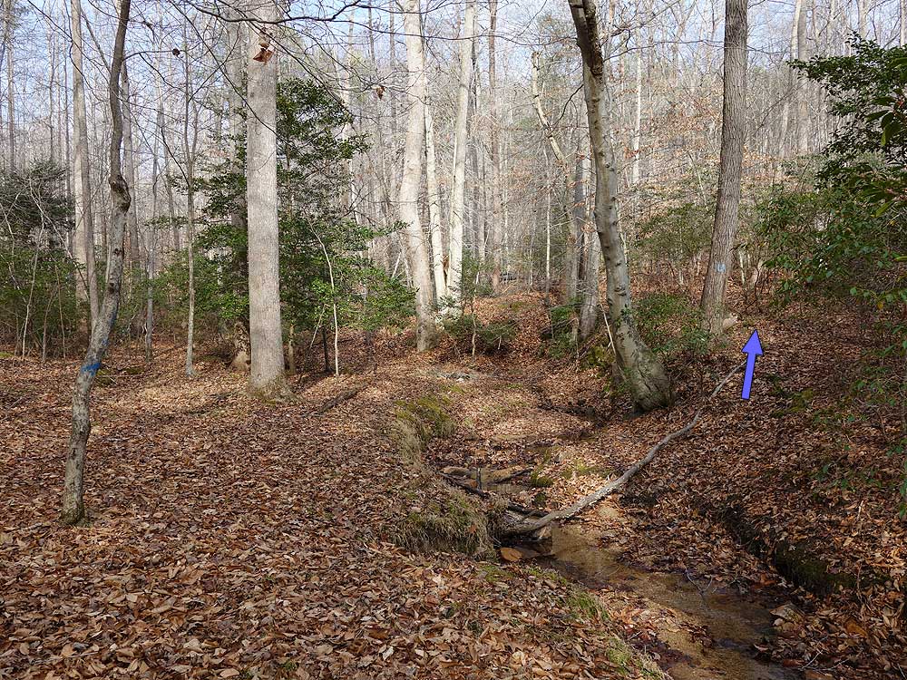
Mile 0.37 - Stay right on the blue trail (turning left adds an additional 1.0 mile loop to the hike). After staying right at Intersection continue 100 yards to Intersection (no trail post) at a small stream. Do Not cross the stream, instead turn right downstream on the blue trail. Follow the trail on the right bank of the stream for 0.2 miles where it crosses the stream over a small footbridge. The blue trail will now gradually climb through a small ravine with several switchbacks then arrive at a t-junction and Intersection . On this section of the hike you are most likely to see mountain bikers on the opposite side of the ravine on one of the many bike trails.
Mile 1.05 - At Intersection turn left on the blue blazed trail for 0.07 miles to the 4-way Intersection with the blue blazed service road.
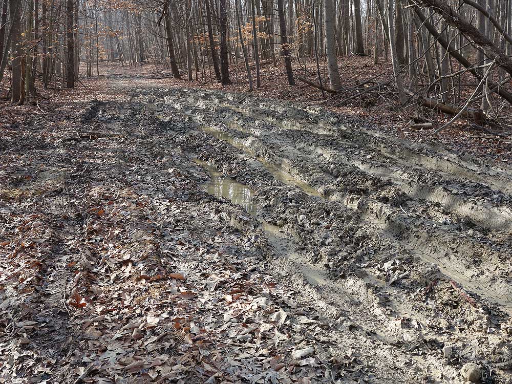
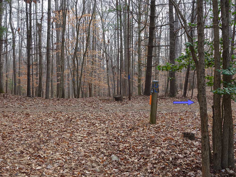
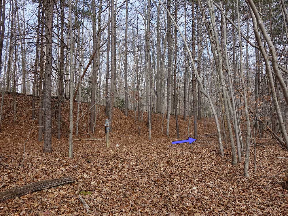
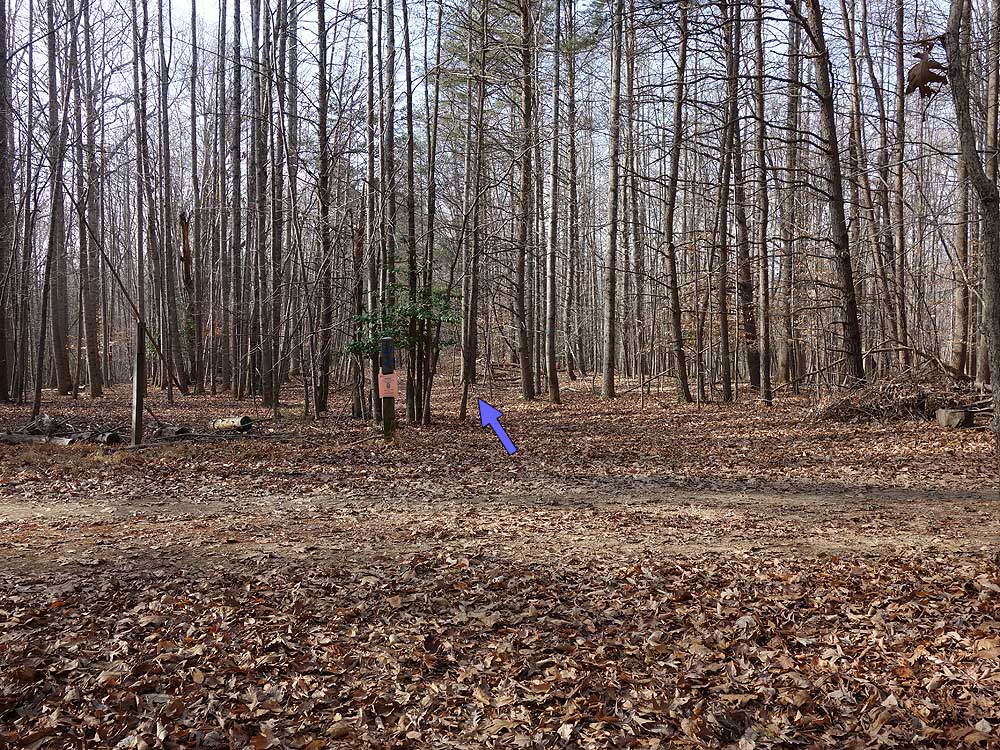
Mile 1.59 - Stay straight on the trail and pass a very muddy section of the road. Stay off the left side of the road, then in 0.16 miles arrive at Intersection and white blazed trail junction.
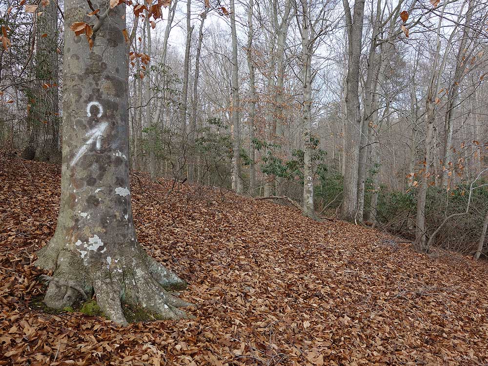
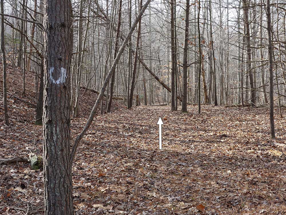
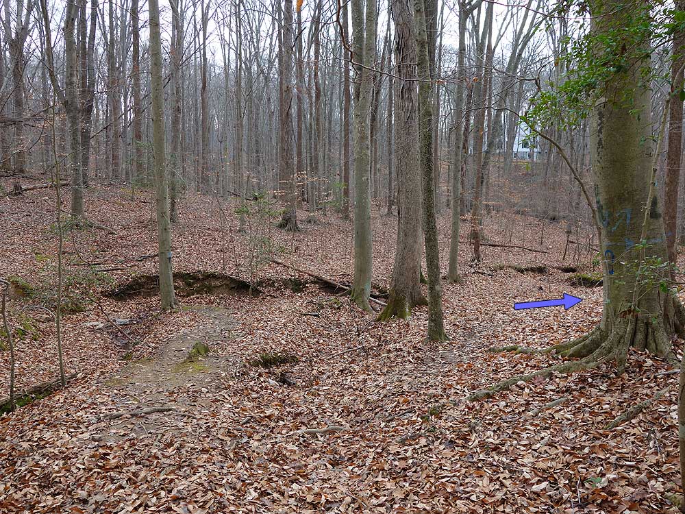
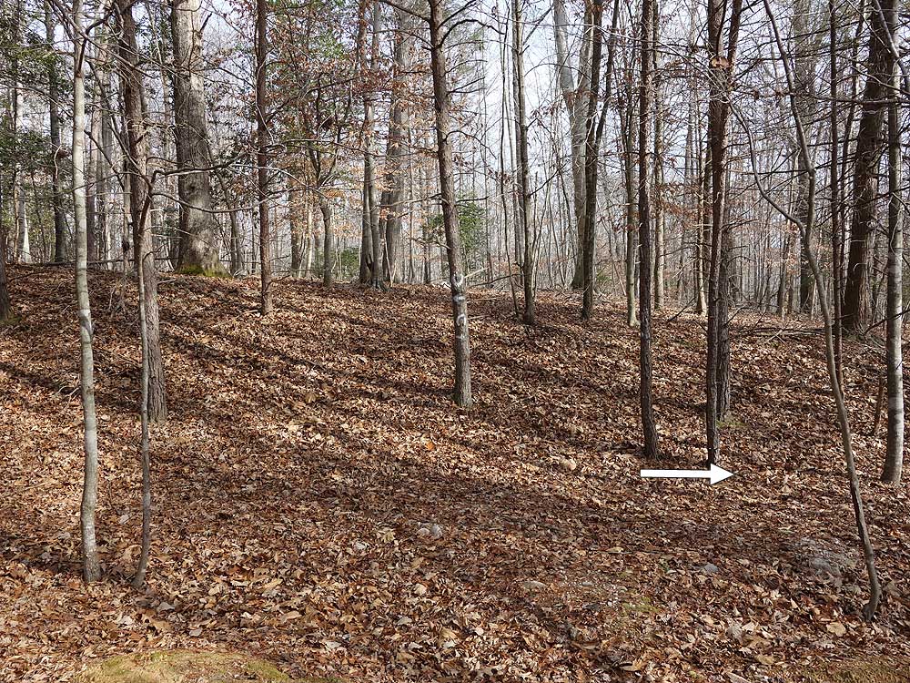
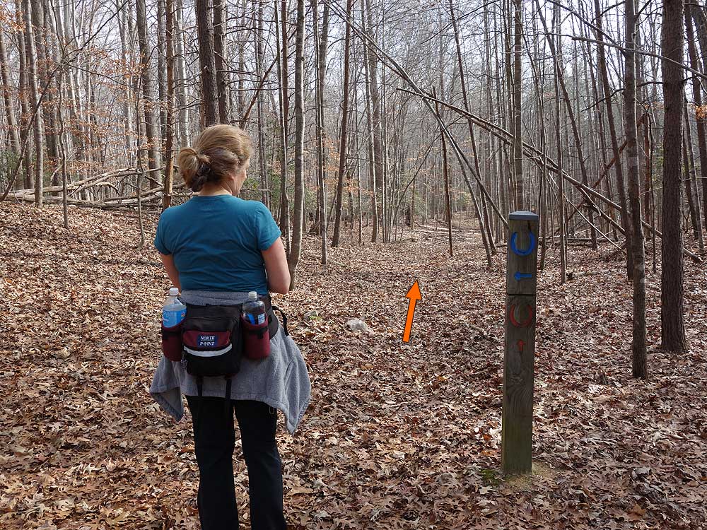
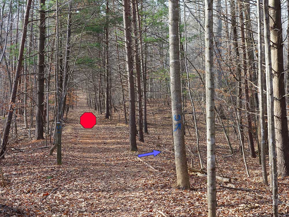
Note: For the next 4 miles on the white, blue, and orange, horseshoe trails the hike is a bushwack following trail markers. For most of this section there is no visable trail. If you don't see the next marker backtrack to the last marker before proceeding.
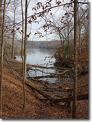
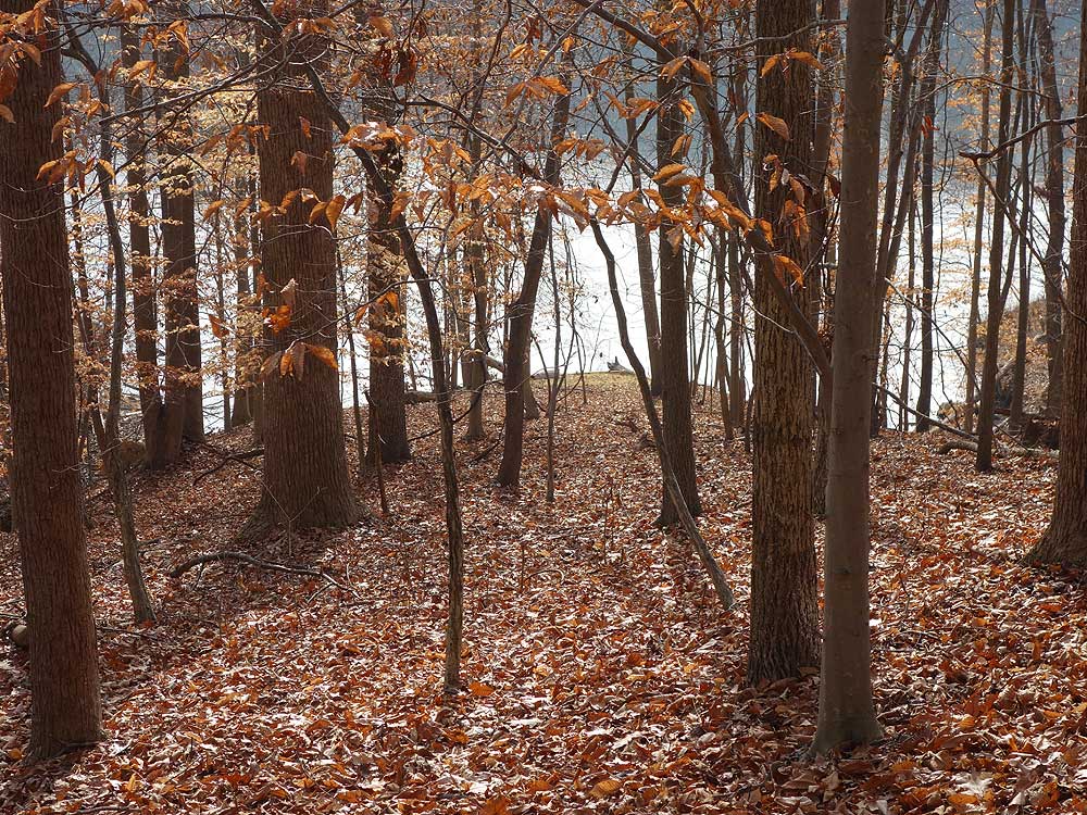
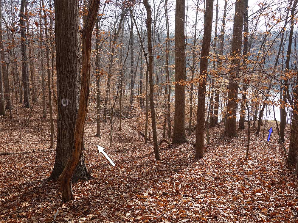
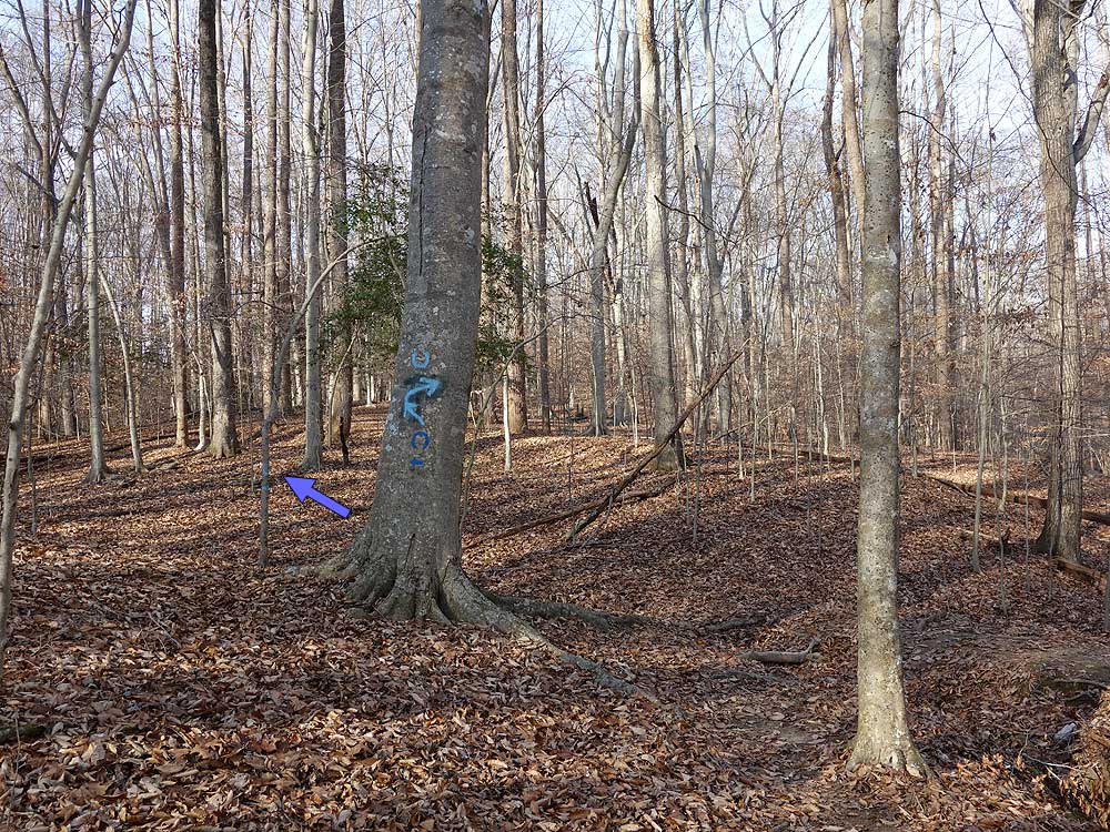
The white trail will pass through several gullies then arrive at Intersection (no trail post). Turn right on the white trail as it descends to the reservoir before heading back uphill. Pass through another small gully and ascend to Intersection and blue trail where the white trail ends.
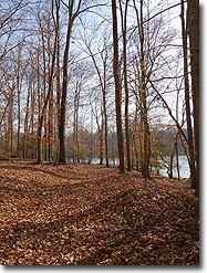
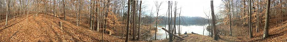
Mile 3.25 - Cross over Intersection staying straight onto the blue trail (turning right will take you on a longer loop along the banks of the reservoir). Continue to follow the blue horseshoes to Intersection (no trail post) where the loop rejoins. Continue along the blue blazed trail until the trail descends to the creek just past the head of the inlet. At this point the blue trail splits at Intersection .
Mile 3.65 - Turn right crossing the creek and follow the blue horseshoes uphill to an old service road and Intersection .
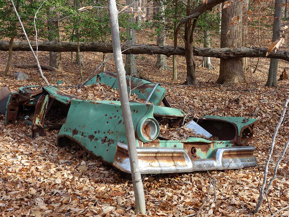
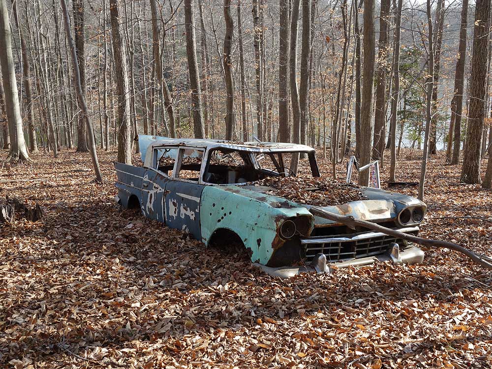
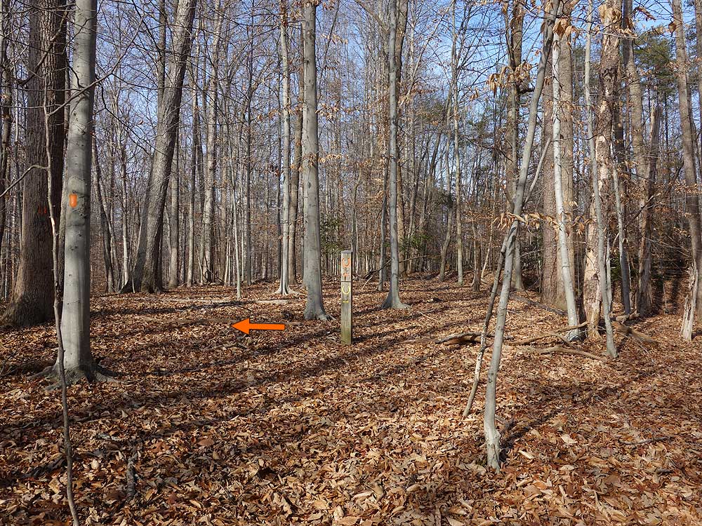
Mile 3.75 - Turn right at Intersection for 0.11 miles where the blue trail turns left, and the orange trail stays straight at Intersection (there is a 1957 Ford Fairlane in 25 yards on the blue trail).
Mile 3.86 - At Intersection stay straight on the orange trail as it descends back to the reservoir. The trail will loop back towards the park and pass the the red connector trail at Intersection (no post or blazes), then descend towards the reservoir again. Pass another old car, then the trail continues through multiple gullies as it climbs back towards Hampton Rd. Arrive at the Intersection of the yellow blazed loop where the orange loop turns left.
Mile 5.49 - Turn left on the orange blazed trail at Intersection and follow it to the 4-way Intersection with the blue blazed trail and old service road. The blue blazed trail continues straight and left, with the unblazed service road right that leads to Hampton Road.
Mile 5.77 - Continue straight at Intersection on the blue blazed trail for 0.28 mils to Intersection with the service road you passed at the beginning of the loop.
Mile 6.05 - Continue straight for 0.07 miles to Intersection where the blue blazed trail turns right. Do Not be tempted to continue straight as this path leads to the bike only trails section of the park.
Mile 6.12 - Turn at right at Intersection downhill following the blue trail back to the creek, cross the footbridge, then continue back to Intersection (no post), and turn left and shortly arrive back at Intersection
Mile 6.8 - Stay left uphill for the remaining 0.37 miles back to the park road.
Mile 7.17 - Arrive back at the parking area and park road
Mid December
Fountainhead Regional Park Hike Comments
Archived Comments
By:Jackie
Rating:
Date of Hike: Saturday, September 17, 2016
I followed the blue trail form the parking lot until i got to the orange trail, from the orange I did just a little bit of the yellow (i was curios to see the burned cabin as it says on their map, but i din't see anything) but it seemed too deserted and no sings that it had been used recently so i turned back and followed the orange back to the blue but once i finished the orange by the 57 Ford I turned back to the parking lot through the blue trail. About 6.5 easy hiking miles. I'm very curious though why the old cars and how they got there. Anybody know?
I love HikingUpward btw! Thank you!
By:Steve
Rating:
Date of Hike: Monday, May 16, 2016
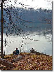
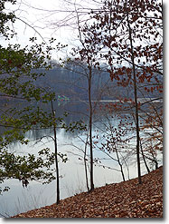
A pleasant hike in the woods with great views of the Occoquan Reservoir. Trails were in generally good condition despite wet weather. For a portion of the trail the description says "If you don't see the next marker backtrack to the last marker before proceeding." That's good advice. On the white trail especially, the path is indistinct. Some of the horseshoe-shaped blazes are faded white on light gray bark. As I had my GPS I didn't worry too much and didn't heed that advice, and ended up off the trail several times. At one point I backtracked a couple hundred feet without knowing it. At mile 1.75 I went out on the outcrop as suggested, and recommend it, but didn't find the trail upon returning. When I felt lost I just set a bearing to the next waypoint. The ground is relatively clear and it is easy to walk amongst the trees on a different path. Worst case, without GPS, just head north and you will hit a road before very long. I'll be smarter when I hike this one again.
I read "parking area" and was looking for a lot -- it is just parking along the side of the road along the exit lane of the park. Go in the park and make a u-turn. If you click on the "P" parking marker on the maps here you'll see a photo.


