|
| Length |
Difficulty |
Streams |
Views |
Solitude |
Camping |
| 7.0 mls |
 |
 |
|
|
 |
Hiking
Time:
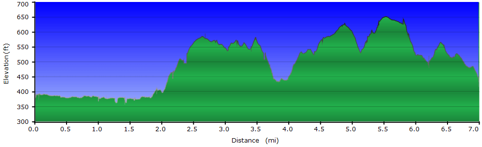
Elev. Gain:
Resources: |
4.0 hours with time for stops
1,700 ft
 Topo Hike Trails Map (PDF) Topo Hike Trails Map (PDF)
Norwood, VA Weather Forecast
Garmin (GDB), Gaia/Trails App (GPX) (What's
this?)
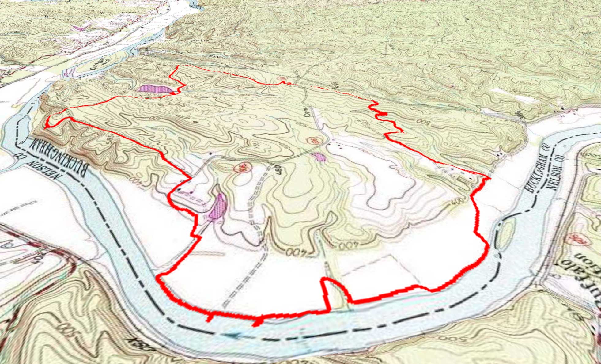
3D
View of Route |
 By Trail Contributor: Jeff Monroe (Email Jeff) By Trail Contributor: Jeff Monroe (Email Jeff)
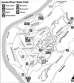
James River State Park is one of the newer additions to Virginia’s state park system, as it was only added in 1999. It is amazingly remote – truly one of those “you can’t get there from here” kind of places! The best way to explore this park is to come for a couple of days and stay in a campsite at one of the wonderful campgrounds in the park – there are five different campgrounds! (The main campground, a group camp, an equestrian camping area, and two primitive tent camps: one open and near the river and another in the woods and located on this trail loop.) Or, you can rent one of the park’s 18 cabins. This is not a backpacking trip, however, as all park camping is restricted to established campsites. Note that all Virginia State Parks require a fee to enter; as of this writing, that fee was $5.00 for a regular vehicle.
The main attraction of James River State Park is its eponymous river, where visitors can rent watercraft, take a livery upstream, and float back downriver about 9 miles to the State Park. (Details can be found here.) However the park also has a robust trail system, which continues to grow. The loop described here generally circles the park.
This is an easier hike than many we cover on hikingupward.com, as it is further from the mountains. There isn’t a lot of elevation gain in this one, so it is perfect for families. Especially great is the access to the James River near the beginning of this hike; there are some riverside spots ideal for dipping little toes in the water and those hikers need not complete the entire loop.
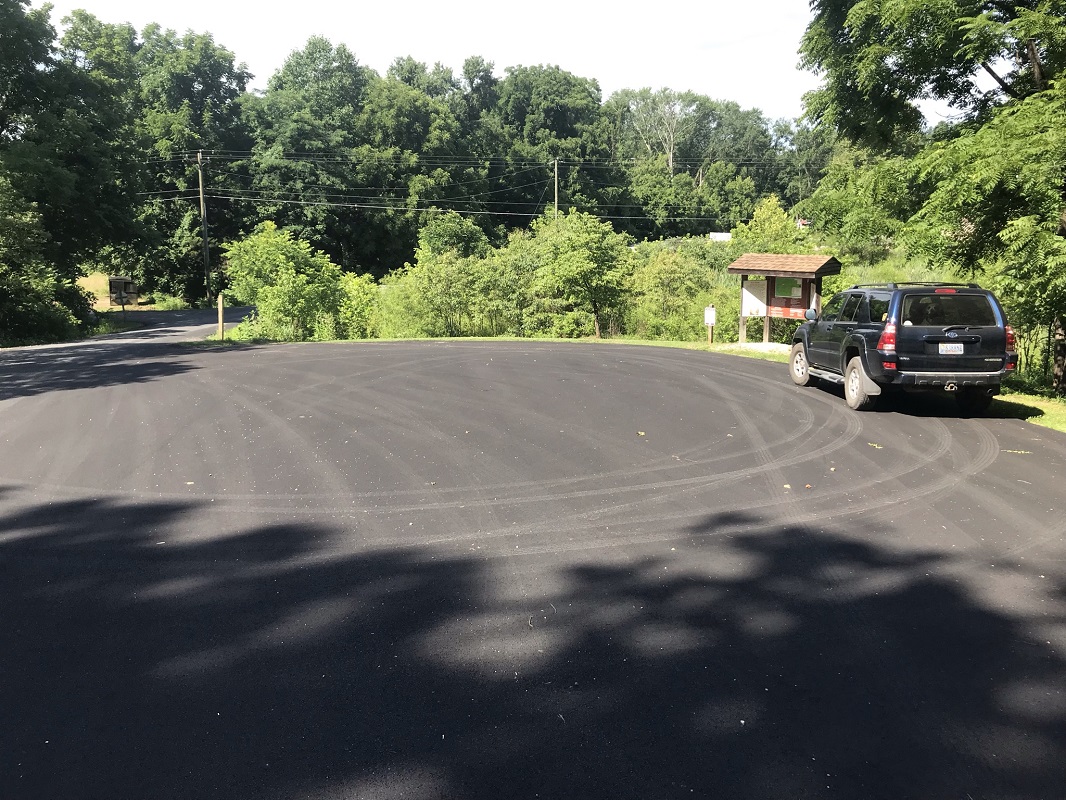
There are multiple parking areas along this loop. I chose to start at a trailhead along the side of Canoe Landing Road, which is easy walking distance from campsites at the park’s Canoe Landing Campground. Look for the kiosk on the right just before the road splits.
-
Mile 0.0 – Begin by following the blue blazed River Trail located behind the kiosk. Normally, I’m going to tell you to take a photo of the kiosk’s map, however I did that on this hike and found out the hard way that the kiosk map is inaccurate. You are better off obtaining a paper map either online or at the entrance station. The park is still adding facilities and trails, and even the printed park map did not show the park’s Group Campsite, which must be new.
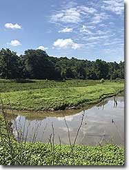
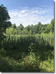
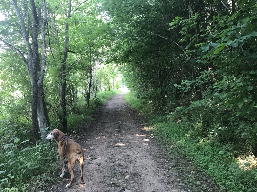
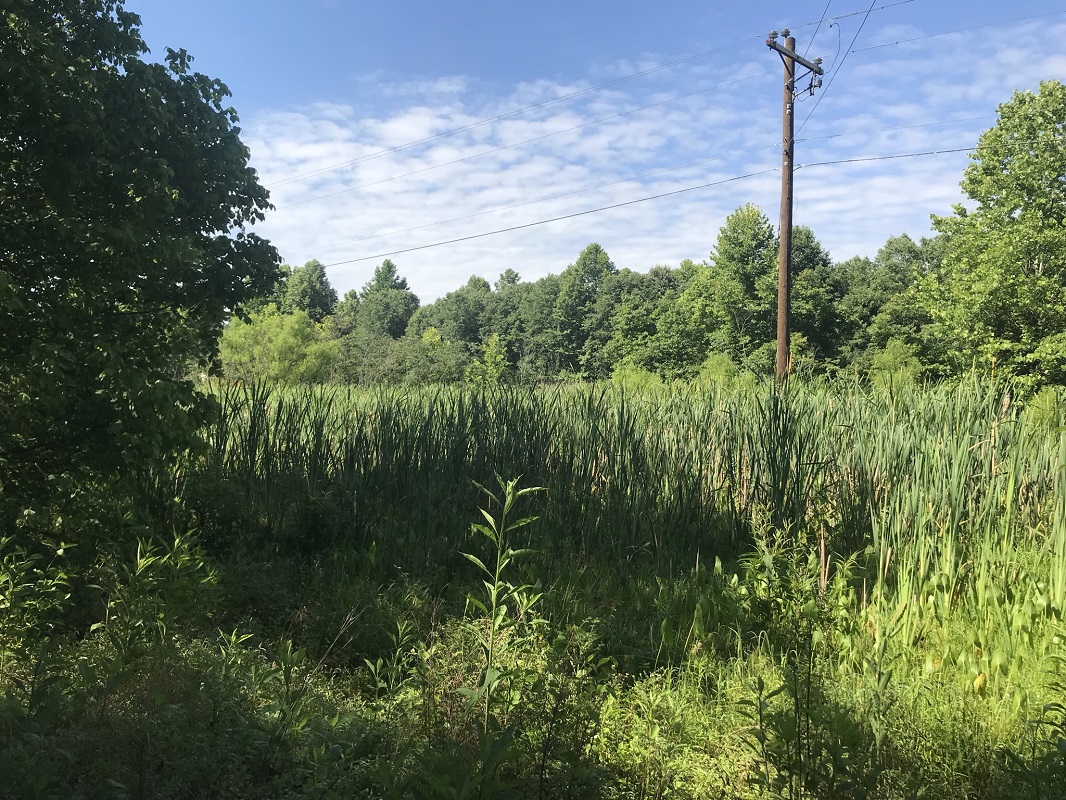
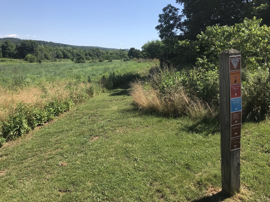
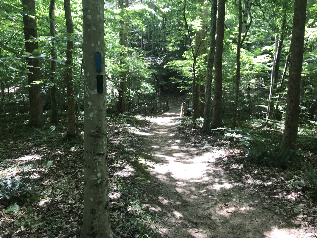
This loop samples many different types of terrain. It starts out flat and straight, shaded from nearby trees, but next to a cattail swamp. It is sometimes very open.
-
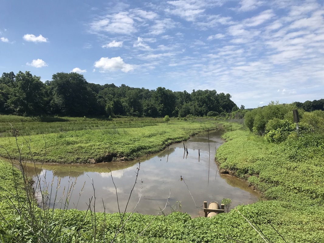
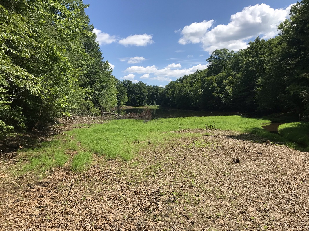
Mile 0.2 – Reach the intersection with the end of the Cabell Creek Connector Trail. Stay to the left on the River Trail. The River Trail can be muddy at times in this area, and you will see multiple types of tracks, including deer, horse, bike and human foot tracks. The River Trail approaches close to the edge of the James River.
-
Mile 1.0 – Arrive at a T intersection marked by a trail sign. Continue on the River Trail, turning left.
-
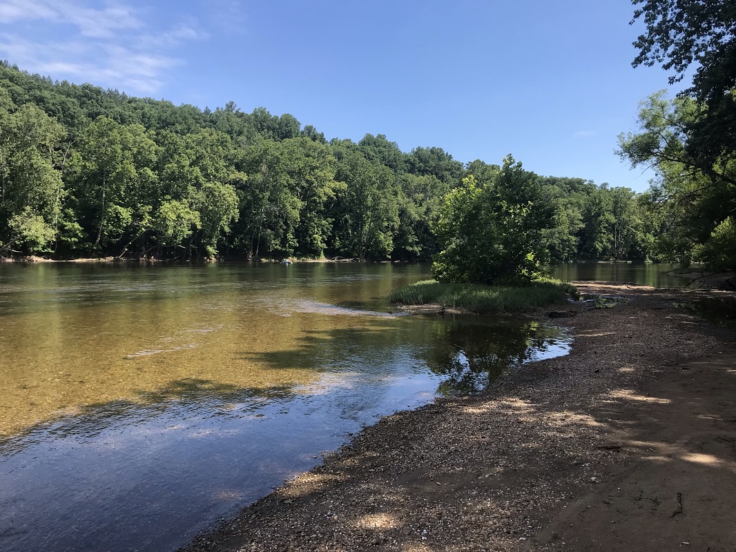
Mile 1.3 – At three points in quick succession are short side trails to the James River, each marked by a “no horses” sign. The best of the three is the middle one, with a sandy beach and a section of shallow, gentle river. This is a great spot for families to experience the river close up.
-
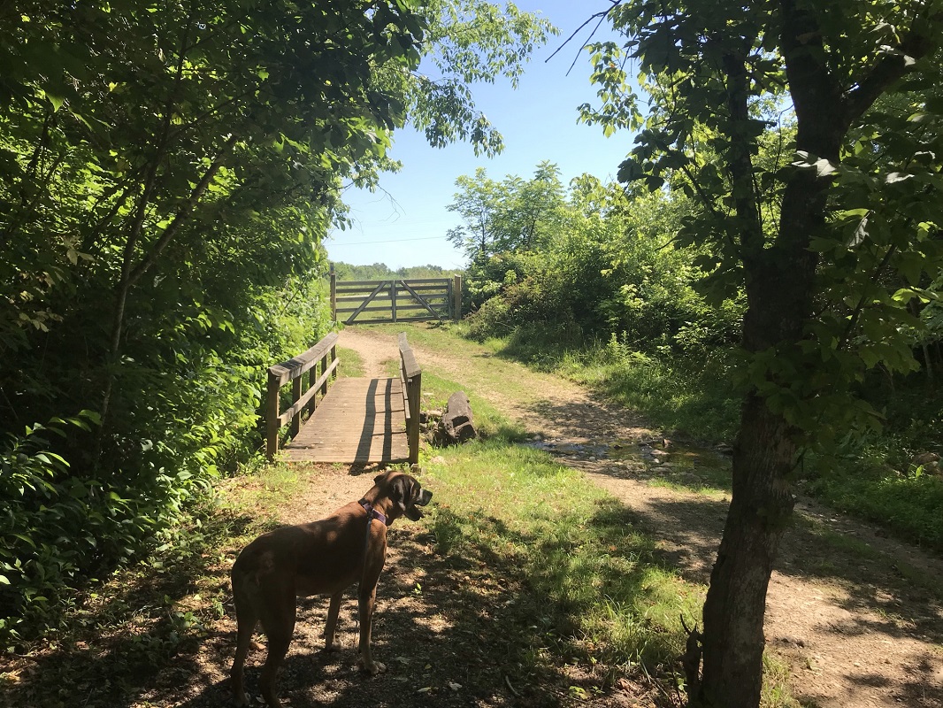
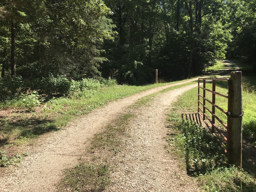
Mile 1.8 – Travel through some wetlands before reaching an intersection with the Cabell Trail. Take a left here over a bridge and through a gate, and reach a gravel road. At this point, you leave the River Trail and follow the Cabell Trail uphill on the gravel road.
-
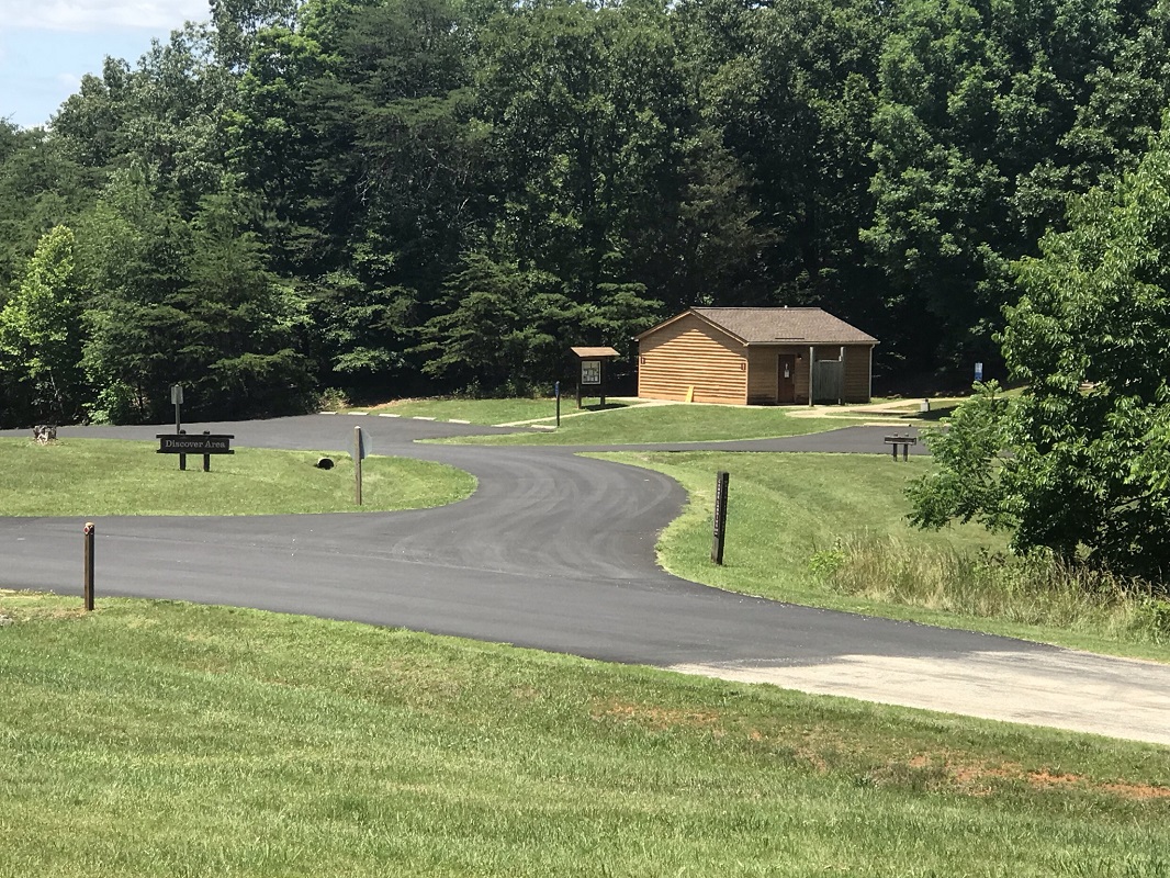
Mile 1.9 – On your left is a grass cut that the Cabell Trail follows. Either take this route, or you can continue up the gravel road to use facilities at the James River State Park Headquarters at the top of the hill. There is also a pavilion with picnic tables and a pond ahead on your right – great for stopping to snack. The Headquarters is also another place along this loop where you can park and start the hike.
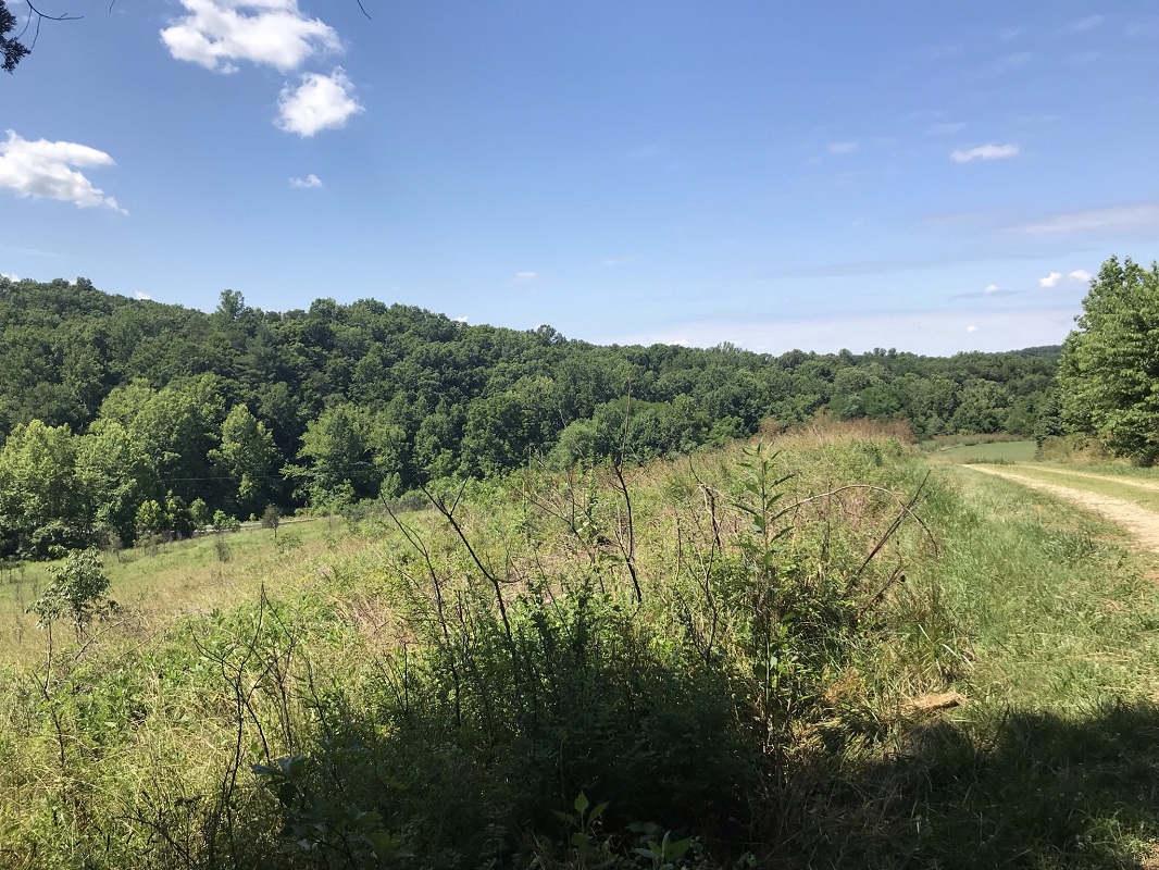
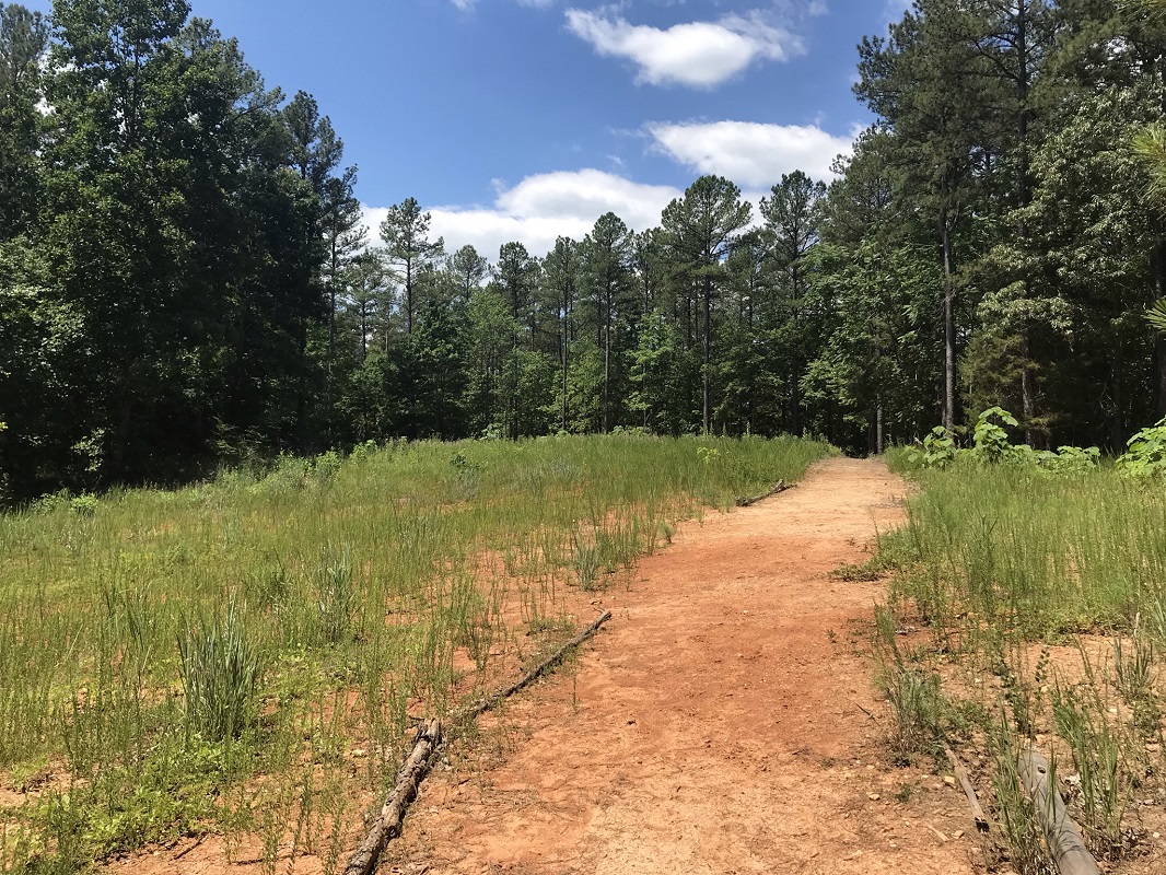
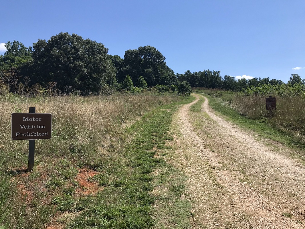
The trail travels behind the Headquarters before turning right and crossing the entrance to the Headquarters Parking right near where it turns off of the main park road. If confused, follow signs for the Cabell Trail. It crosses the entrance road, cuts through a gravel parking area, then takes a left and crosses the main park road on a gravel road behind a sign that says, “Motor Vehicles Prohibited.” As you ascend on this gravel road, notice the Piedmont prairie ecosystem that is maintained by the State Park on your right.
|
-
Mile 2.3 - After passing a gate, there will be a signpost on your left for the Dixon Landing Overlook Trail. Continue on the gravel road.
-
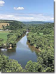
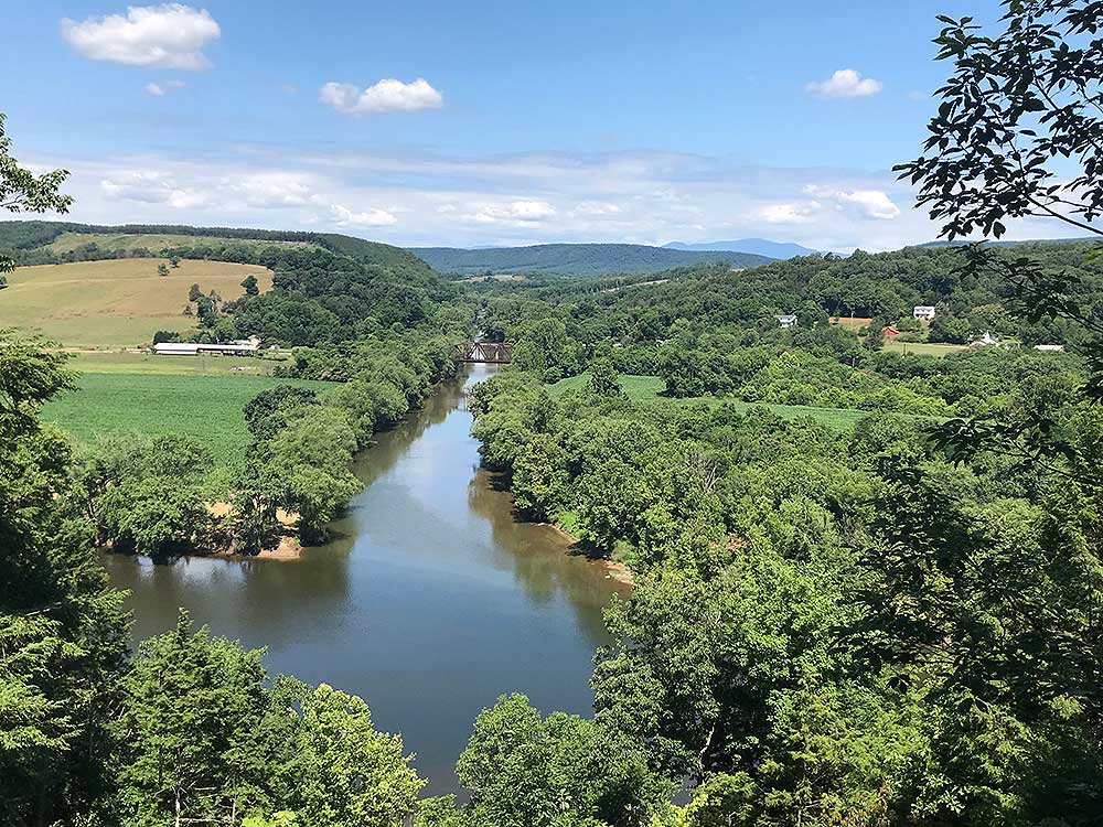
Mile 2.9 – A fence is on your left and horse dismount on your right. Go through the gate in the fence and follow the limestone path to the Tye River Overlook. This is the best viewpoint of the entire hike, looking down on the confluence of the Tye and James Rivers. The Tye River is fed by streams from the Blue Ridge Mountains in the area of Three Ridges and The Priest wilderness areas. These mountains can be seen in the distance from the overlook, nearly 20 miles distant. There are benches here, so you may want to stop for a snack. After you have soaked in this view, use the steps up to the horse dismount area and follow the Equestrian Overlook Access trail back to the Cabell Trail. (Note: this trail is not found on the kiosk maps of the park, though the paper brochure shows its route.)
-
Mile 3.2 – At the end of the Equestrian Overlook Access Trail, turn left into an open turnaround area, then right following the Cabell Trail. This is also a wide gravel road.
-
Mile 3.4 – Reach an intersection where the Cabell Trail cuts right. Here, you leave the Cabell Trail and continue straight on the Branch Connector Trail.
-
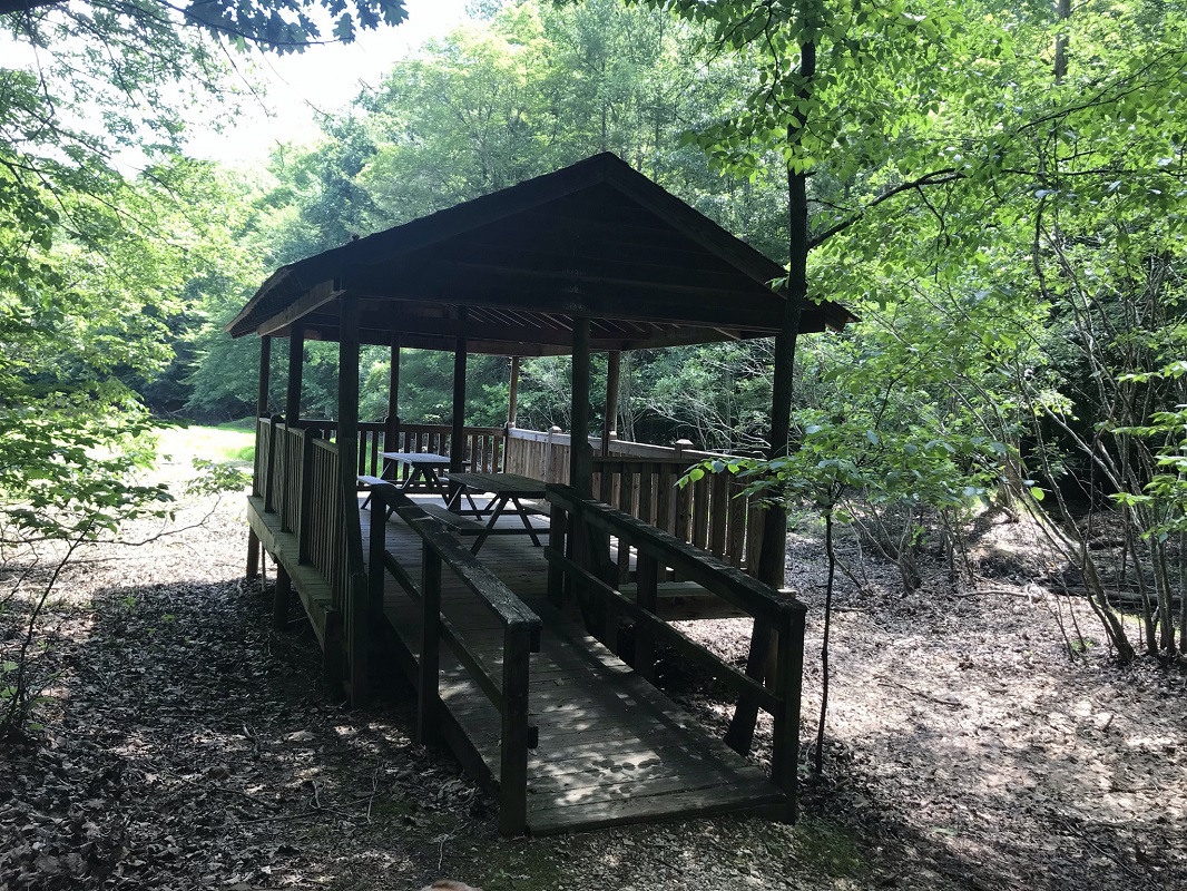
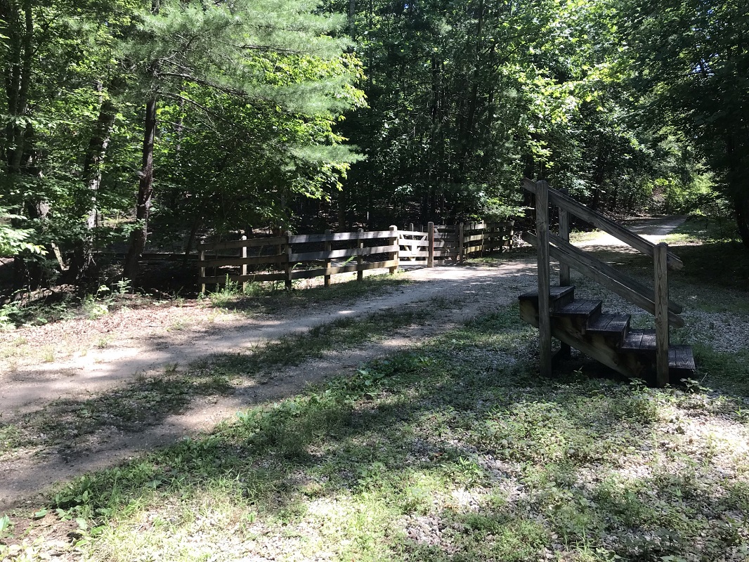
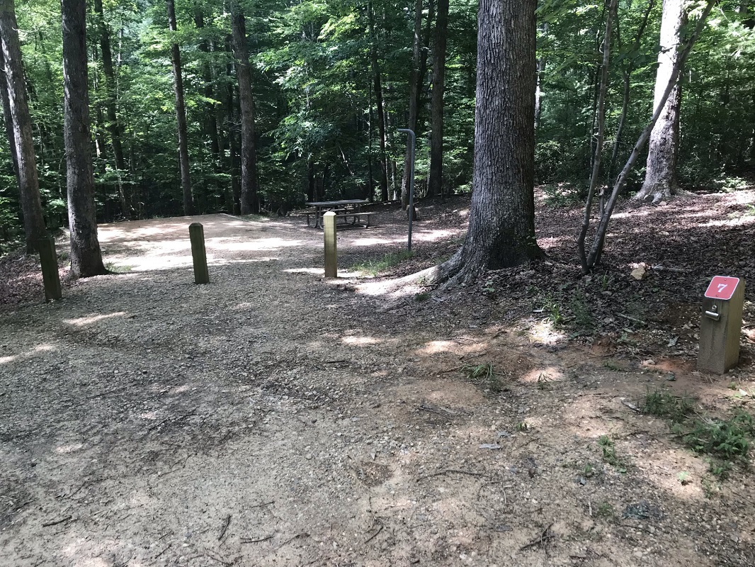
Mile 3.7 – Pass through a gate, descend a hill, and pass several shaded and secluded campsites that are a part of the Branch Pond Campground. Campsites here are reservable online at reserveamerica.com, though individual sites cannot be reserved. You only obtain a permit to camp here, and it is first-come, first-served. At the bottom of the hill, a set of privies is on your right, and to the left you can see Branch Pond. There is a covered picnic shelter that overlooks the pond. This is a great spot to stop for lunch! Unfortunately, as of this writing the loop trail around Branch Pond was closed.
-
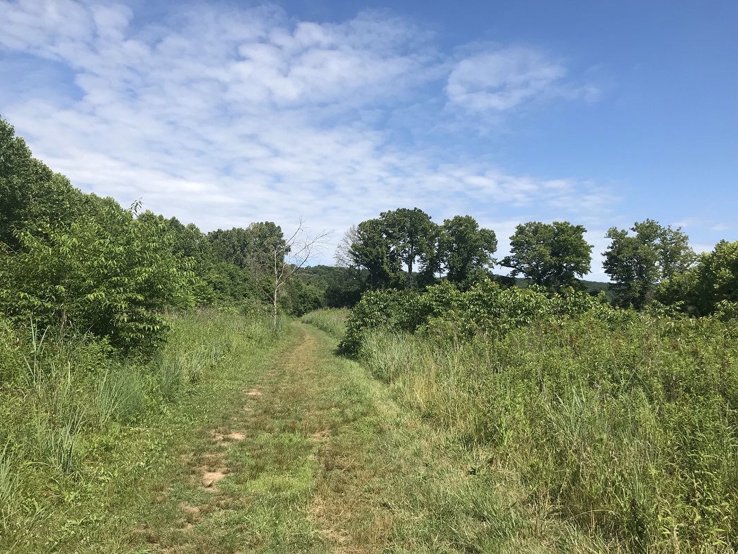
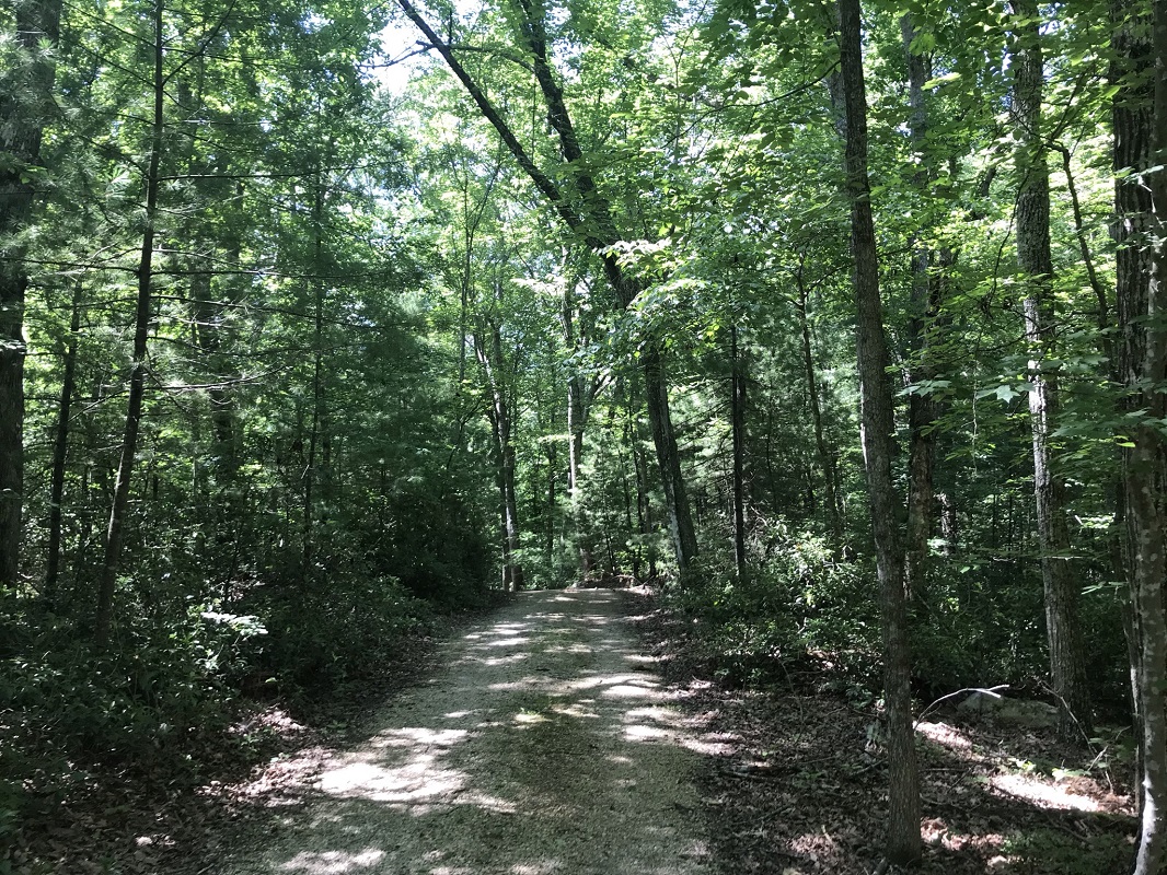
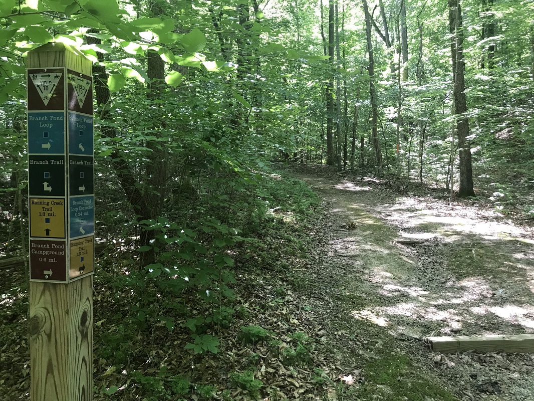
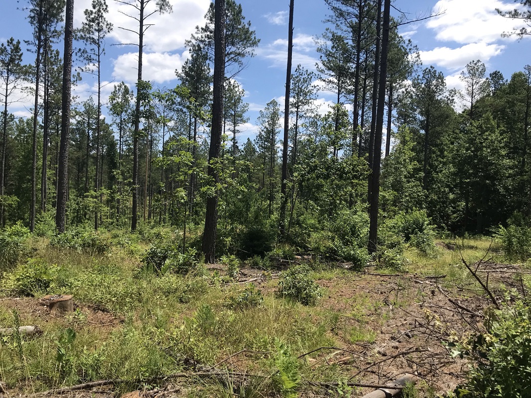
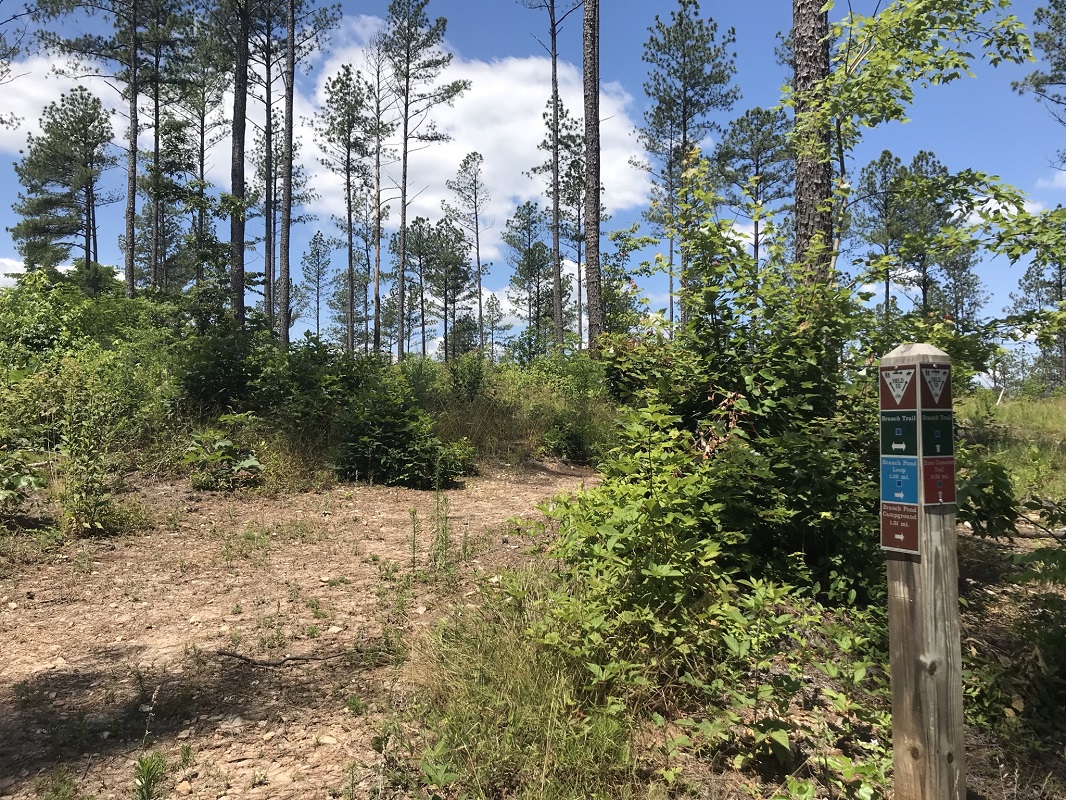
Mile 3.9 – Continue straight from the road you first arrived on, now on a trail marked with blue and black blazes. The trail crosses over streams on a couple of small bridges before reaching an intersection with the Branch Pond Loop Trail. Take a right here and follow the Branch Trail generally uphill until reaching a ridge, which it follows relatively straight, passing through an open field then into an area that was logged relatively recently.
-
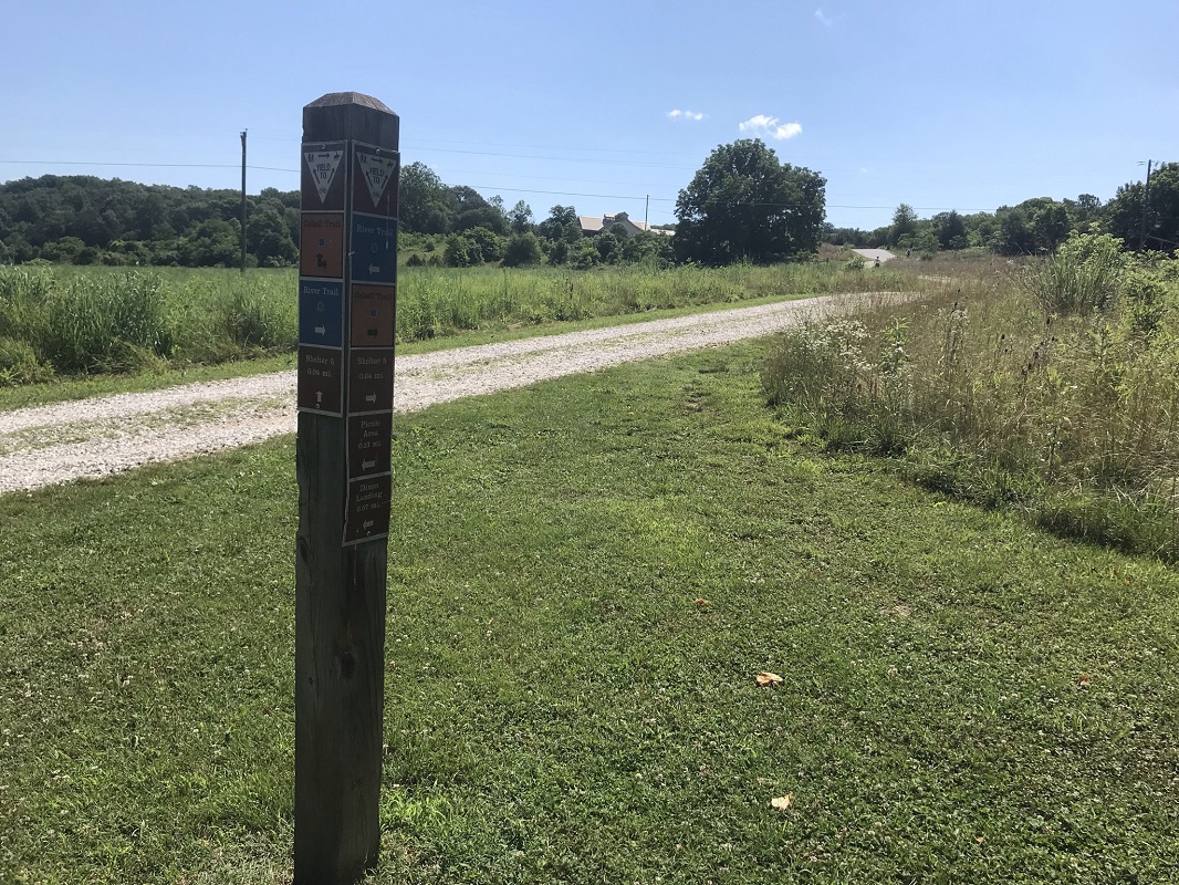
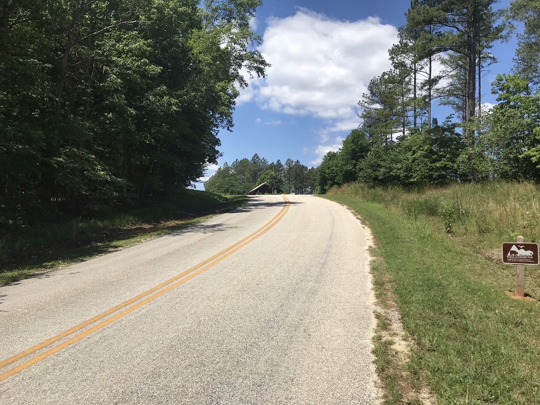
Mile 5.3 – Reach an intersection marked by a trail post. Take a left and quickly cross the State Park Entrance Road. The entrance station you passed on the way into the park is visible uphill.
-
Mile 5.4 – Come to an intersection with the yellow blazed Running Creek Trail. Take a left here onto the Running Creek Trail.
-
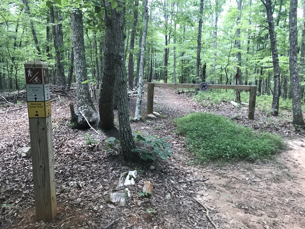
Mile 5.8 – Reach a gate and a sign noting the Ridgeline Loop Trail. There is also a picnic table here. If you want to extend the length your hike, feel free to take the Ridgeline Loop. Full disclosure: because I was only in possession of a photo of the trail system taken at the trailhead kiosk, and because this Ridgeline Trail is not contained on the Kiosk map, I followed the Ridgeline Loop Trail thinking it looped around the park and would take me back to the trailhead. Instead, it loops back to the picnic table just described. As a consequence, I added a mile-and-a-half of wooded trail miles to my total and do not recommend the Ridgeline Loop Trail to others. Lesson learned! This trail was clearly built for mountain biking and contains no outstanding features. I recommend instead taking a right and following the Running Creek Trail down the slope.
-
Mile 6.2 – Reach an intersection with the beginning of the River Trail. This trail take you back to your vehicle in the most direct manner. When I hiked this loop, however, this portion of the River Trail was closed because a tree had recently come down on one of the pedestrian bridges between here and the trailhead. If open go this way to avoid a road walk. For this hike, I continued straight.
-
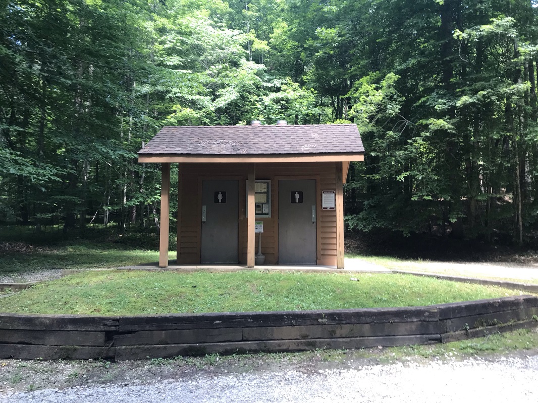
Mile 6.4 – Just before reaching the Canoe Landing Road, encounter a side trail to Equestrian Parking. Follow this for a short distance instead of walking on the road. You will come out on a small mowed area with two wonderful large trees, across the street from restrooms. Continue down the road.
-
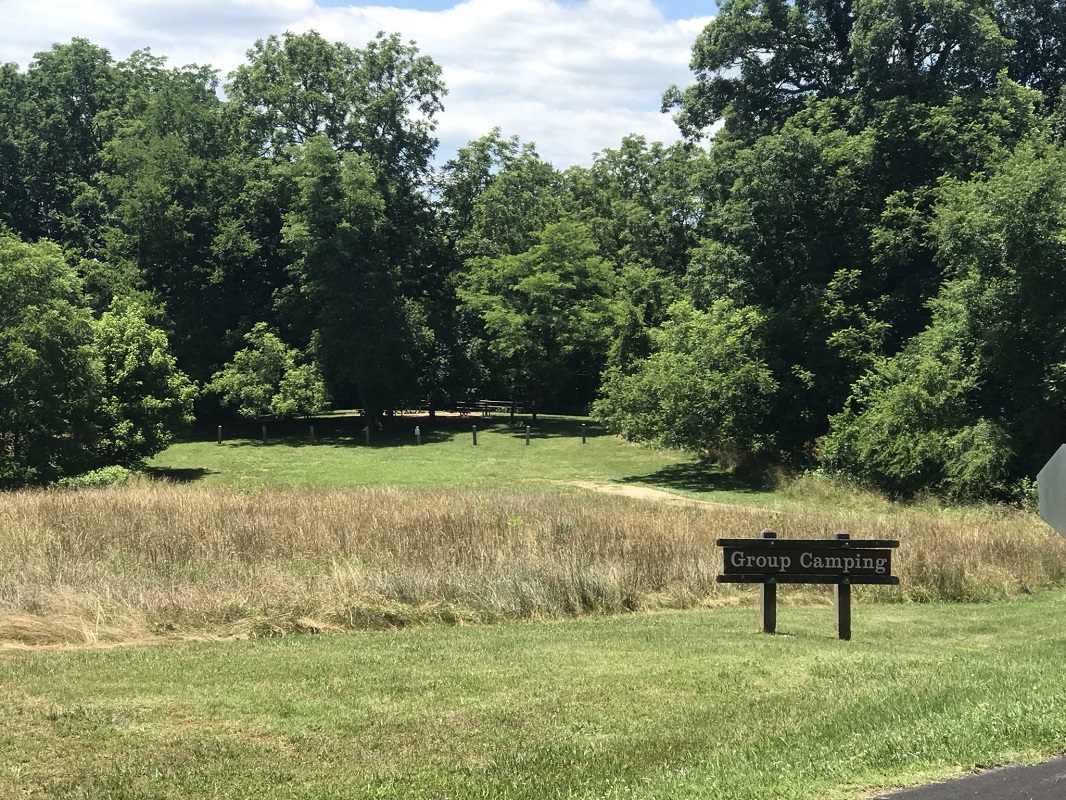
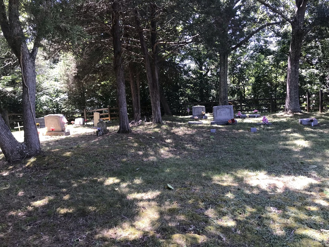
Mile 6.8 – Pass a sign for the Group campsite. There is a mowed path to the left of this that leads to the Cabell Family Cemetery, if interested.
-
Mile 7.0 – Reach the trailhead where you parked your vehicle.
|
|


