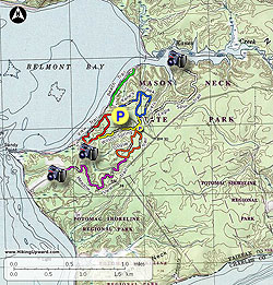
Mason Neck State Park, just south of Fort Belvoir in the Lorton VA area, is a treasure of 10 hiking trails passing through diverse scenery and flora. Mostly flat, this park is the perfect location for a weekend picnic and hike, and suitable for all skill levels. Mason Neck State Park covers 1,825 acres, and is one of several wildlife and recreation areas in Mason Neck, with a total area dedicated to wildlife management and recreation of over 6.400 acres.
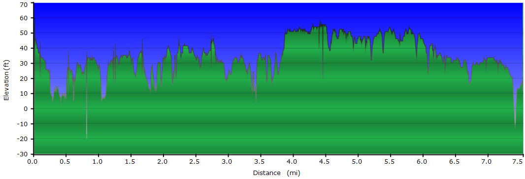
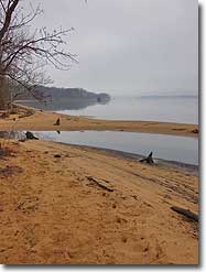
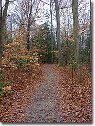
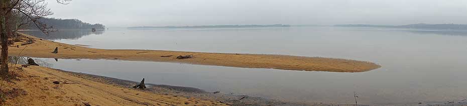
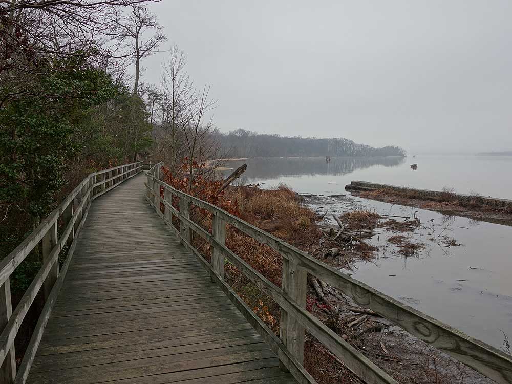
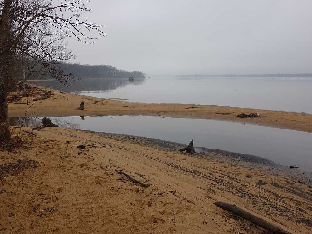
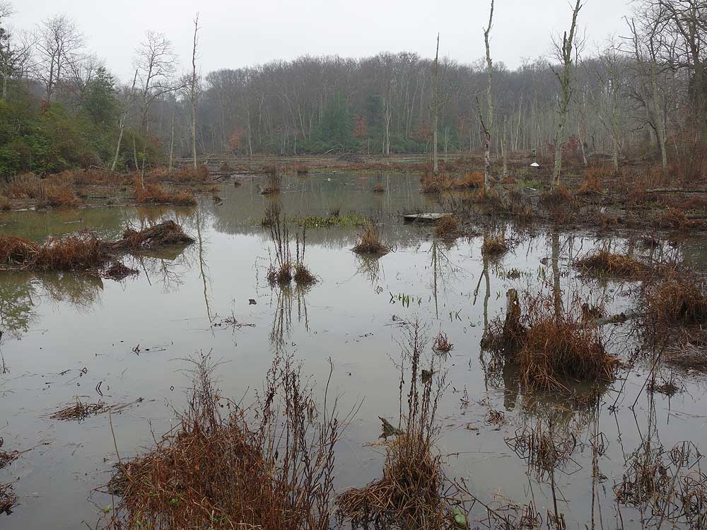
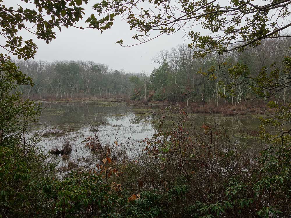
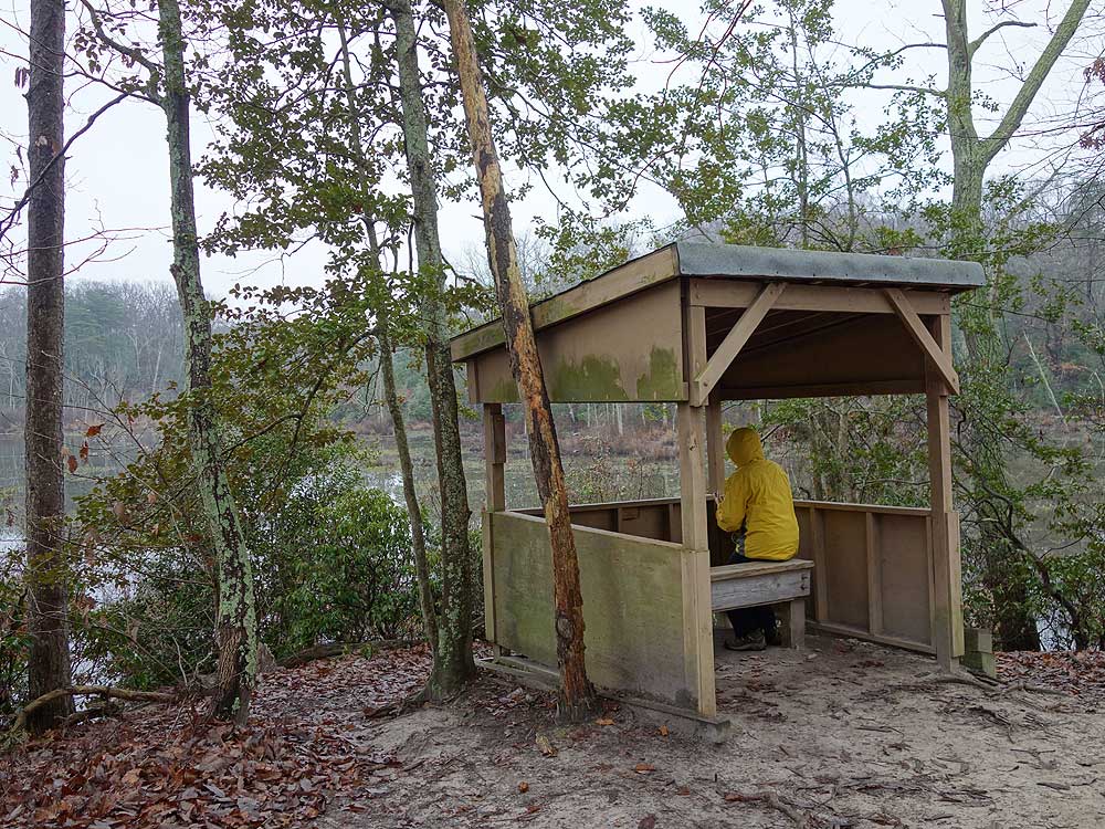
With a sandy beach and wetland marsh along the Bay View Trail, to meadow views and bird blinds, the park has something for everyone. With 200 different species of birds that call the park home, this area is a bird watchers paradise. The 7.5 mile hike listed here utilizes all but a couple of trail sections and passes all the highlights in the park.
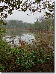
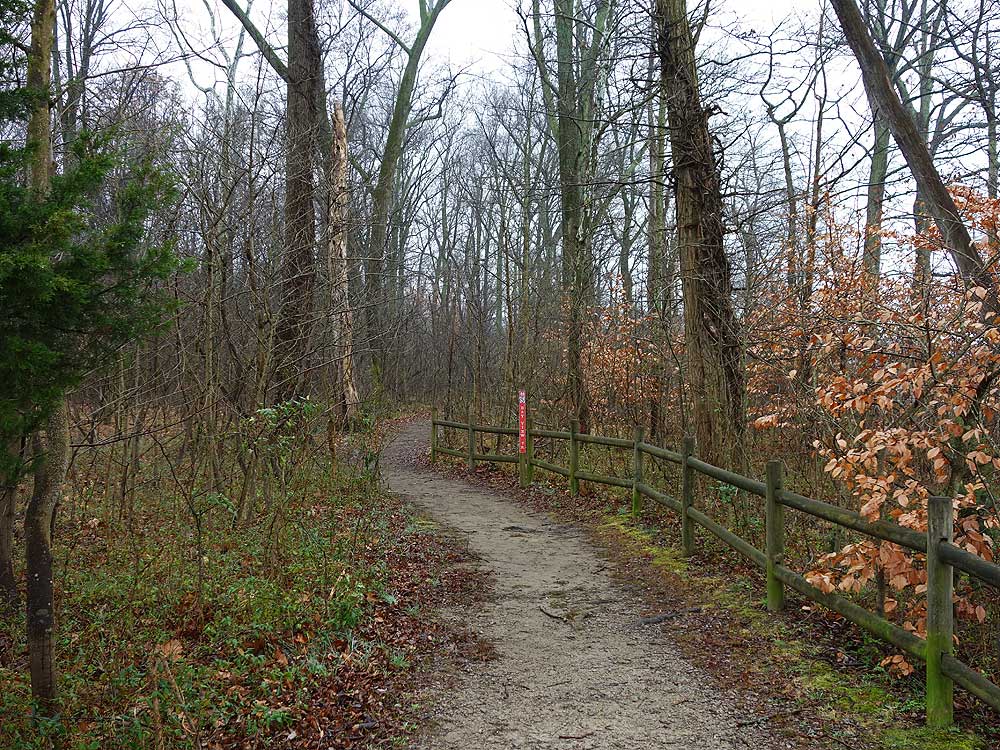
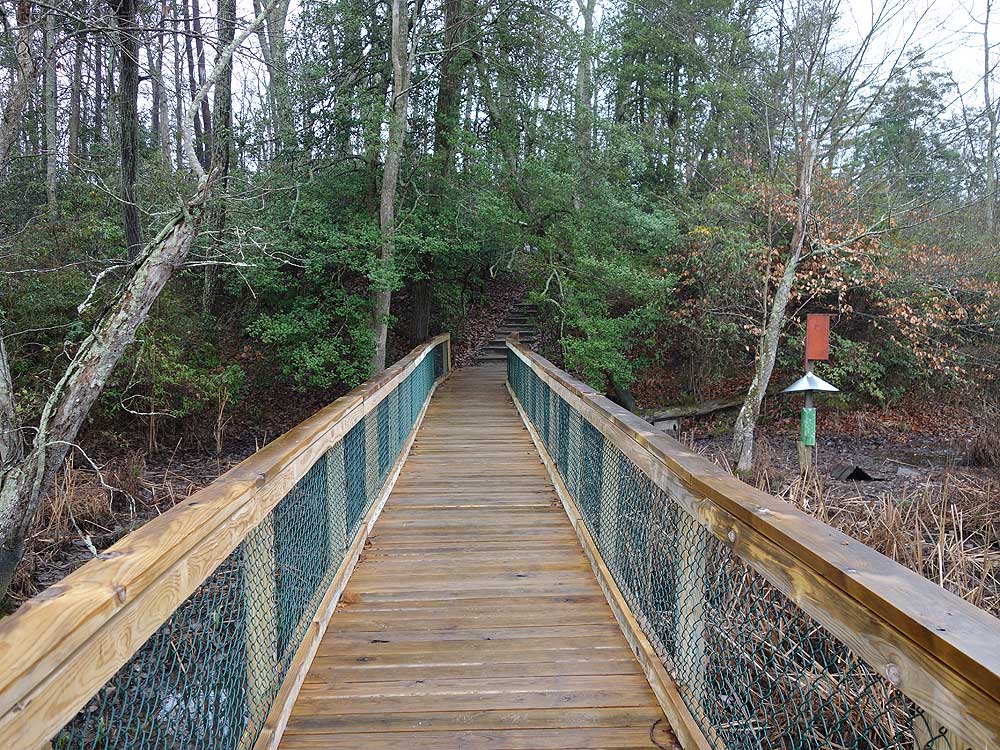
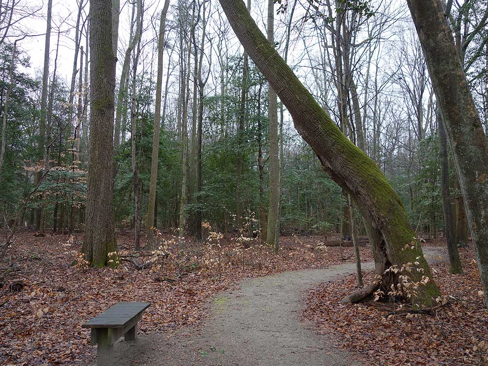
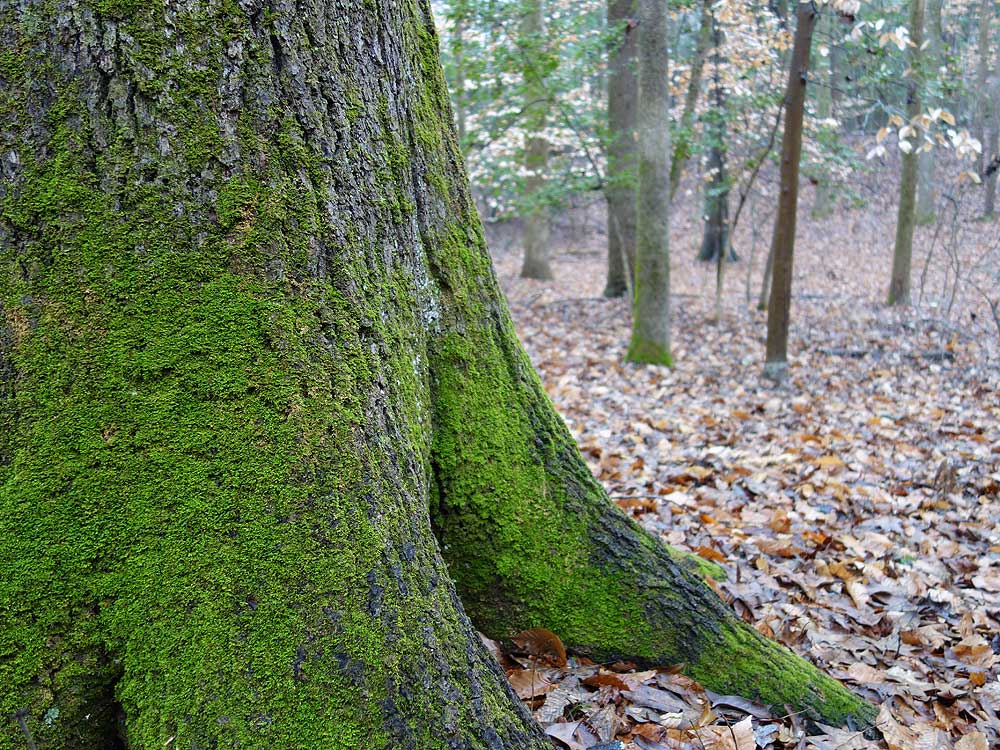
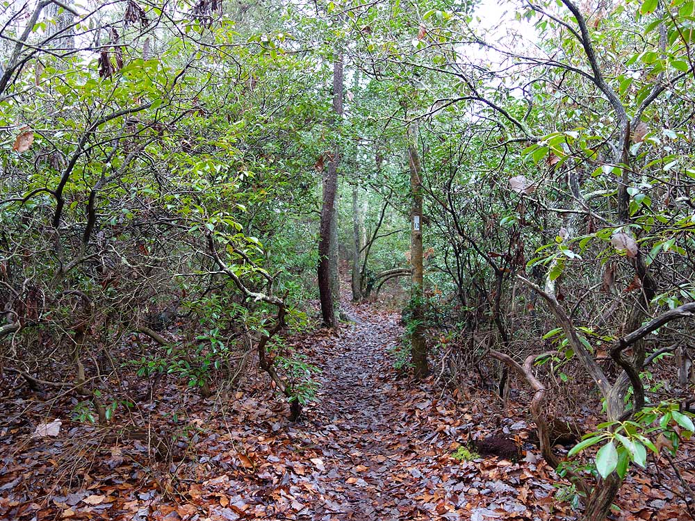
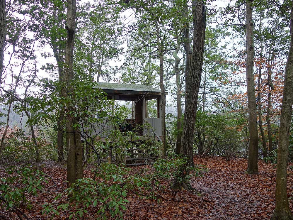
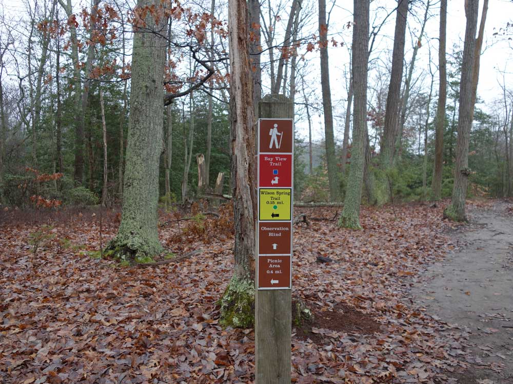
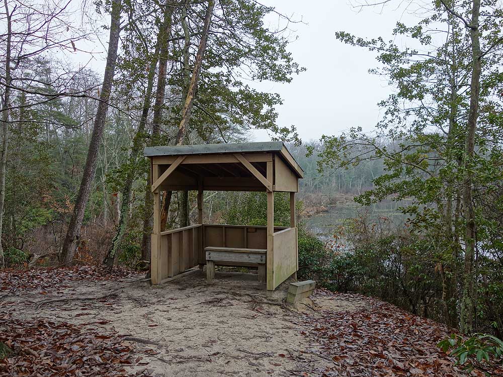
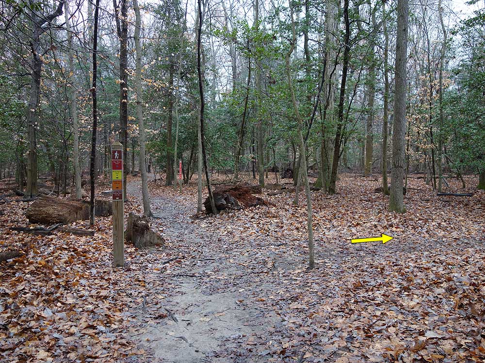
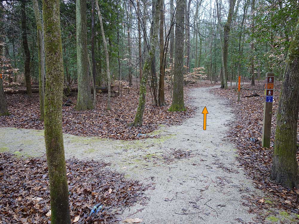
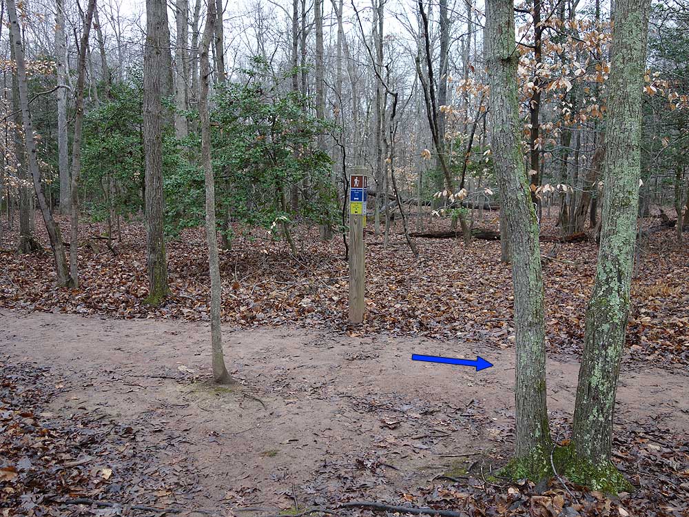
Mile 0.5 - Turn right to complete the smaller loop side of the Bay View Trail. At the far end of the small loop is a bird blind of the western section of the marsh. Continue and complete the loop back to the 4-way intersection. Turn right continuing on the red Bay View Trail and arrive at the intersection with the yellow blazed Wilson Spring Trail. Turn right, the yellow trail will pass through several gullies before reaching the intersection of the Dogue Trail and Wilson Spring parking area.
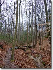
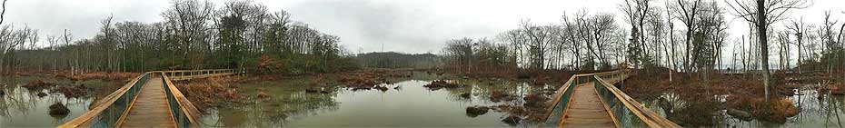
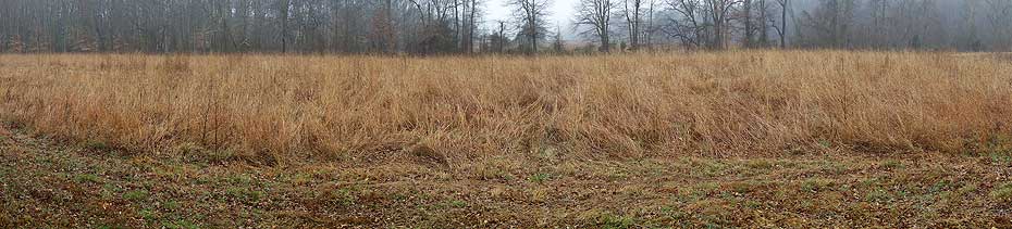
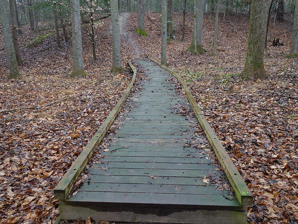
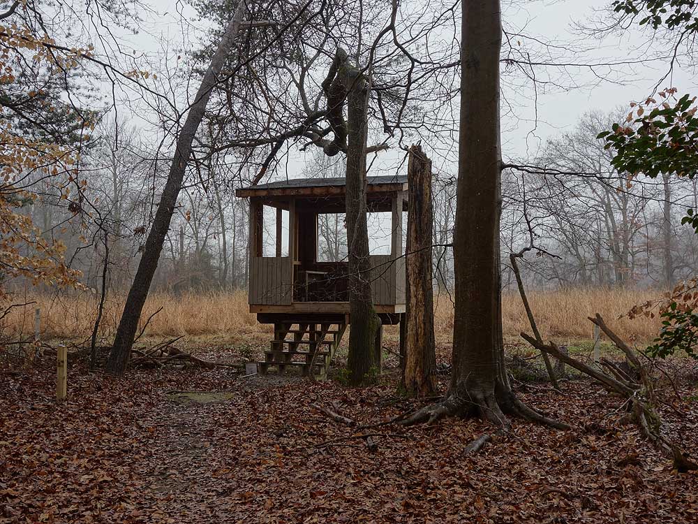
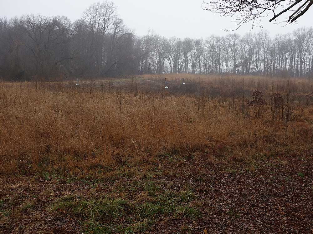
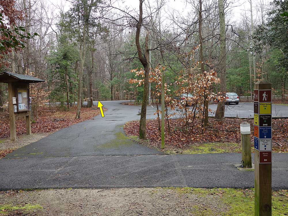
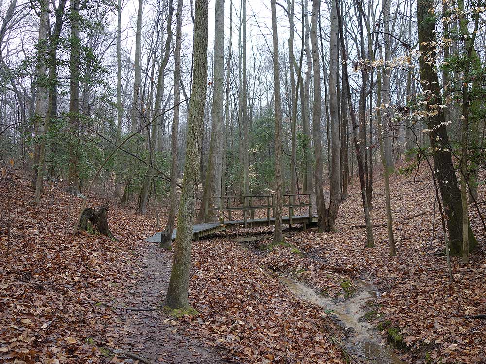
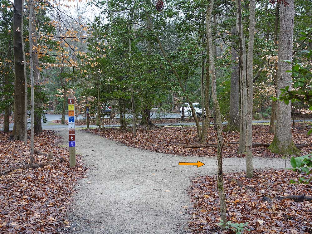
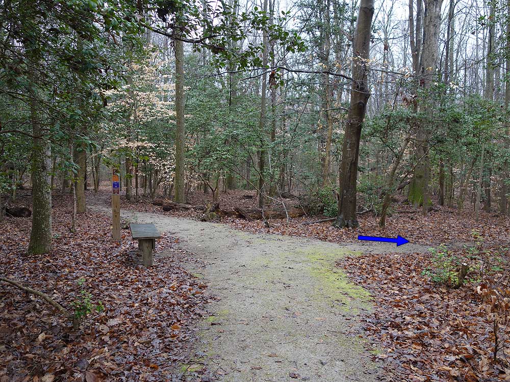
Mile 1.64 - Turn right on the purple Meadow View Trail. The trail is narrower than the more path like Dogue Trails. The Meadow View Trail offers the most elevation gain of the hike. Cross multiple wooden board walks, then arrive at the trails end and elevated bird blind over a large field. Return back to the t-juntion with the Dogue Trail and turn right. Follow the path back to the loop start, turn right and arrive at the Wilson Spring Trail parking area and main park road. Cross the road on the yellow blazed Wilson Spring Trail then soon arrive at the intersection of the blue blazed Kane's Creek trail.
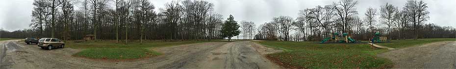
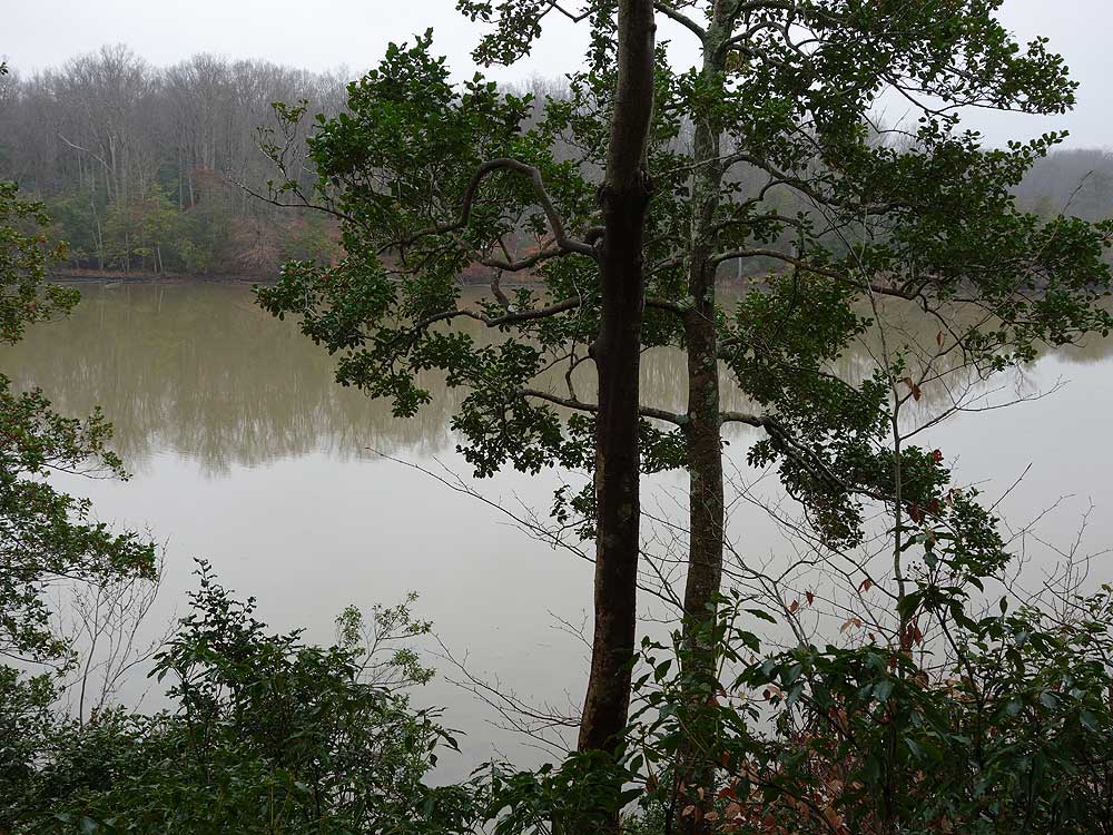
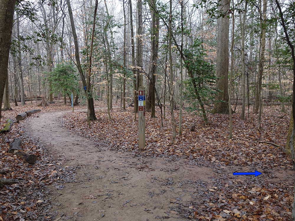
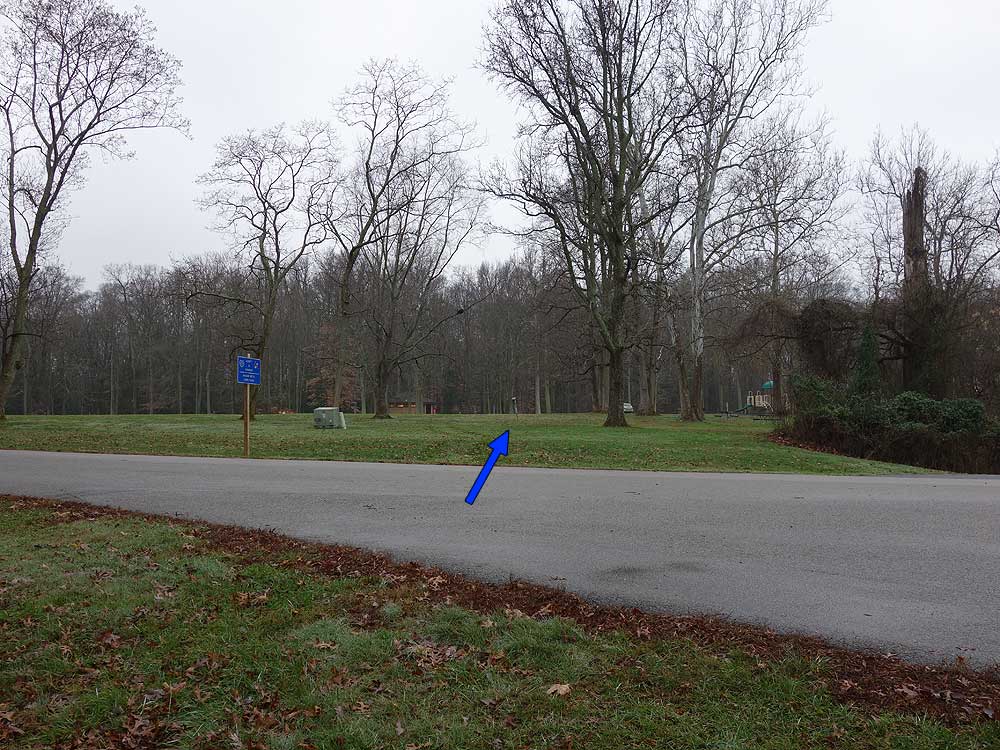
Mile 6.71 - Turn right on the wider blue blazed Kane's Creek trail, and pass the loop section of the trail in 0.3 miles. Continue straight on the blue Kane's Creek Trail for the remaining 0.49 miles to the main picnic area.
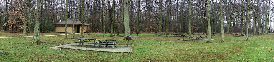
I've lived in NoVA for many years, but this was only the second time I'd been here. The trails are easy, well-maintained, and there's a lot of amenities here to enjoy before and after your hike (picnic tables, playground, open grassy fields, Visitor's Center). I can't speak for the weekends, but on a weekday, the solitude was better than I anticipated for a place so close to DC. It is $4 to enter for residents.
By:Steve
Rating:
Date of Hike: Thursday, May 26, 2016
A great hike made up of four smaller trails. Any of the four would be good for anyone wanting a shorter hike, with the red Bay View Trail probably the most intriguing to kids. There's a beach I didn't take the time to see but would like to later. There are other trails, one paved. It's nice to see several trails in the park deemed "handicapped accessible" according to the trail guide brochure, including the orange Dogue Trail on this hike, which is relatively smooth. The trails are in good condition. Just saw three others on the hike. As a non-resident of Virginia, I paid $6 to enter the park and received a collection of literature including a trail map, not as detailed as the one on this web site. Friendly staff, restrooms, Coke machines, drinking water, a playground, picnic areas, too. There's a visitor center I did not check out.


