| Length |
Difficulty |
Streams |
Views |
Solitude |
Camping |
| 4.9 mls |
 |
N/A |
|
 |
N/A |
Hiking
Time:
Elev. Gain:
Resources: |
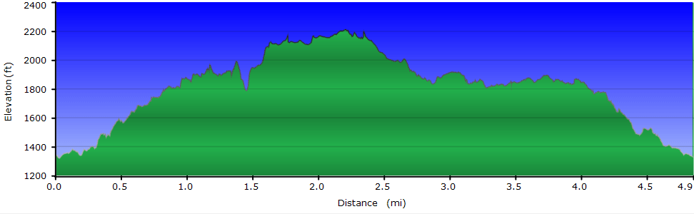
2 hours and 45 minutes with 30 minutes of breaks
1,340 ft
 Topo Hike Trails Map (PDF) Topo Hike Trails Map (PDF)
Roanoke VA Weather Forecast
Garmin (GDB), Gaia/Trails App (GPX) (What's
this?)
3D
View of Route |
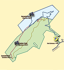
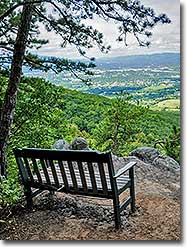
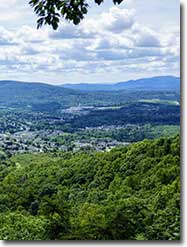
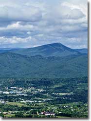
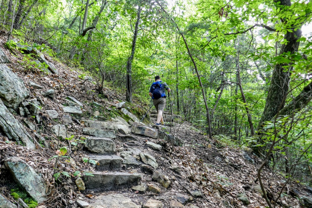
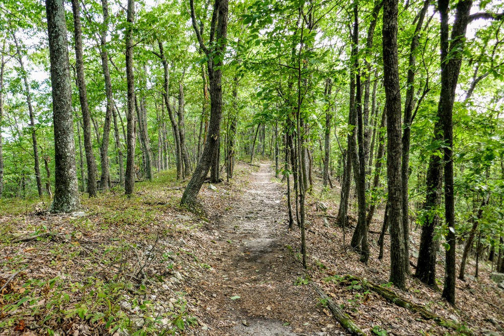
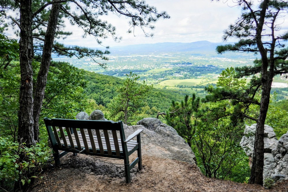
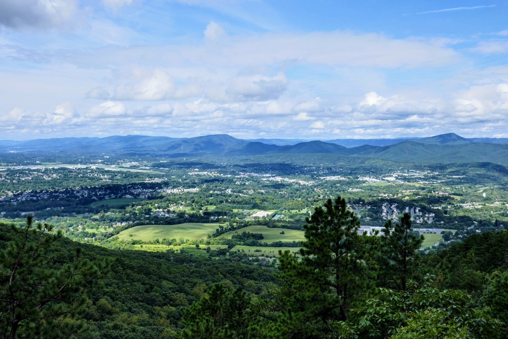
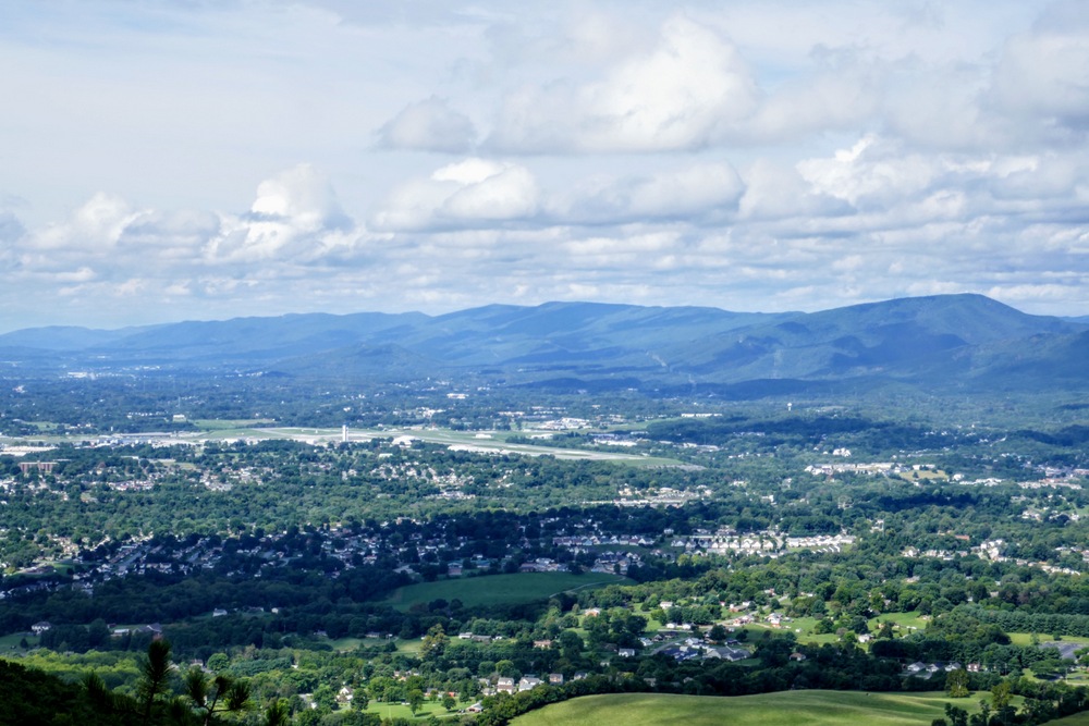
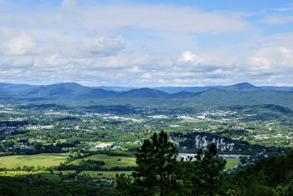
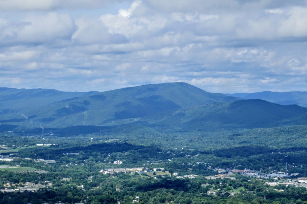
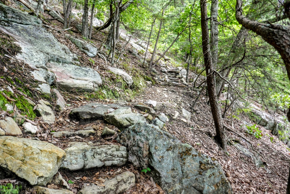
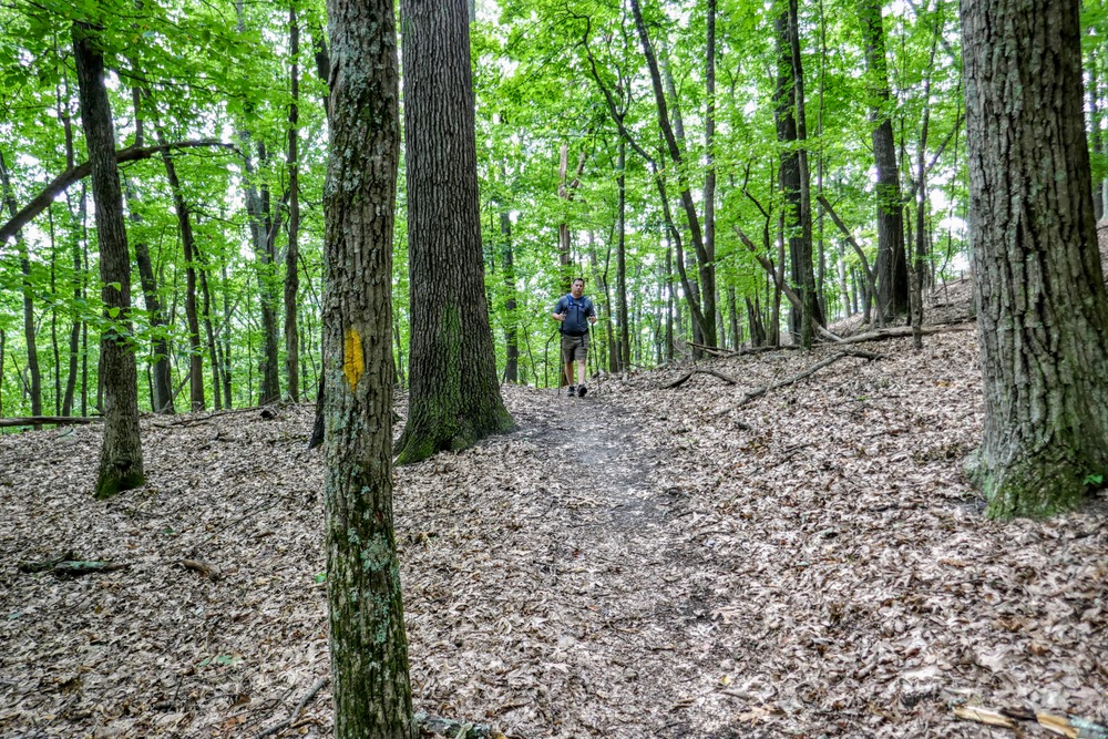
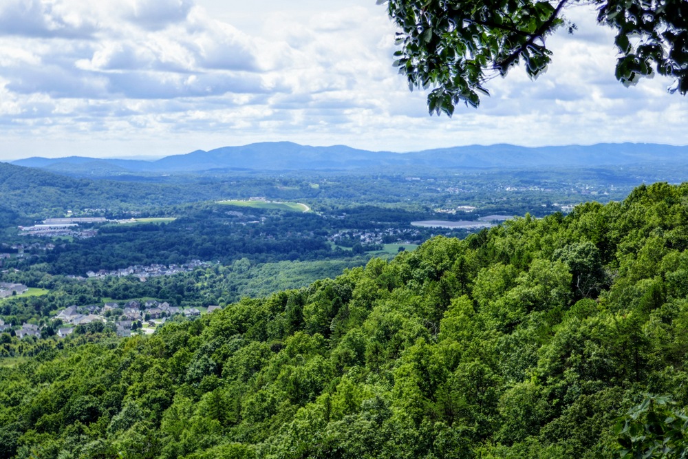
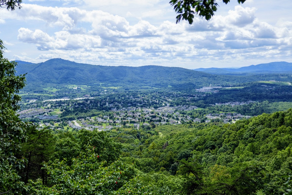
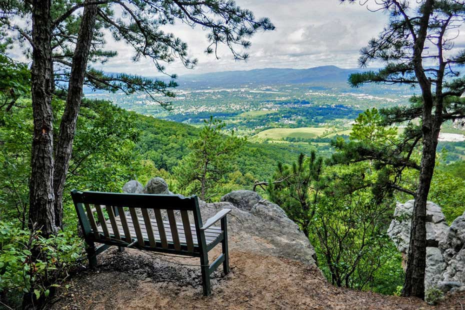
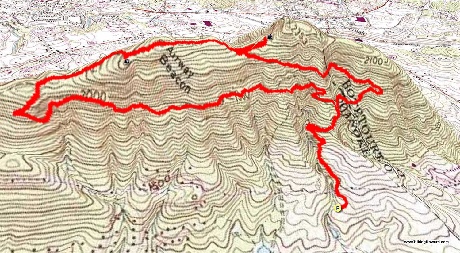
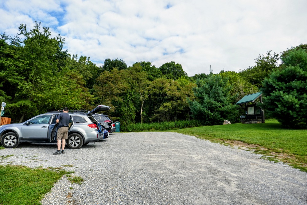
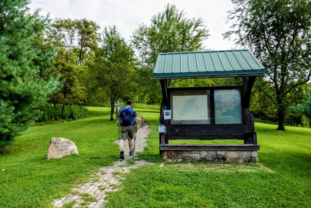
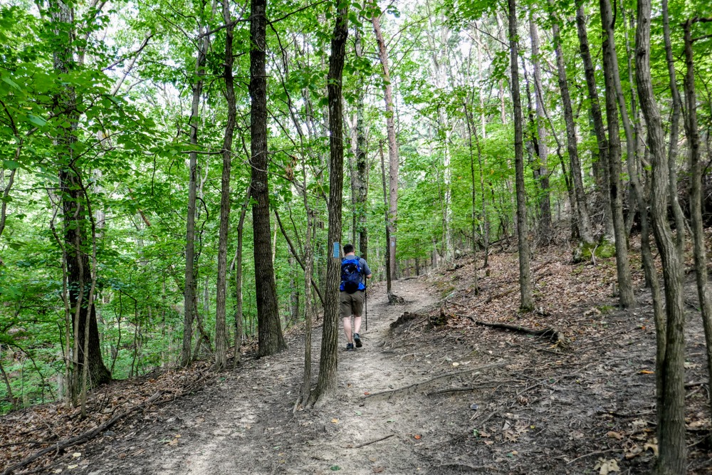
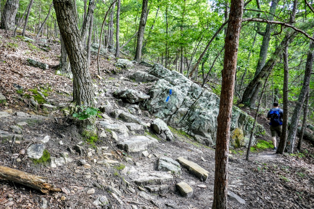
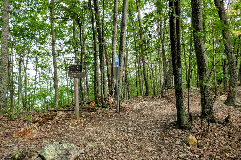
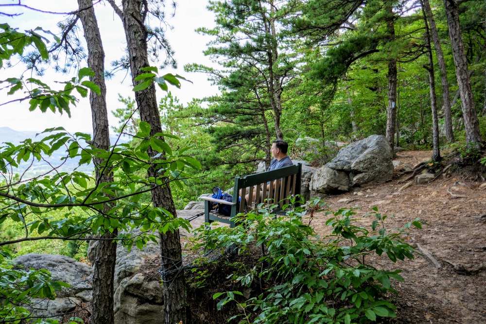
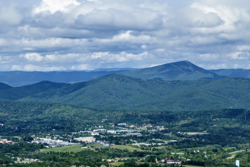
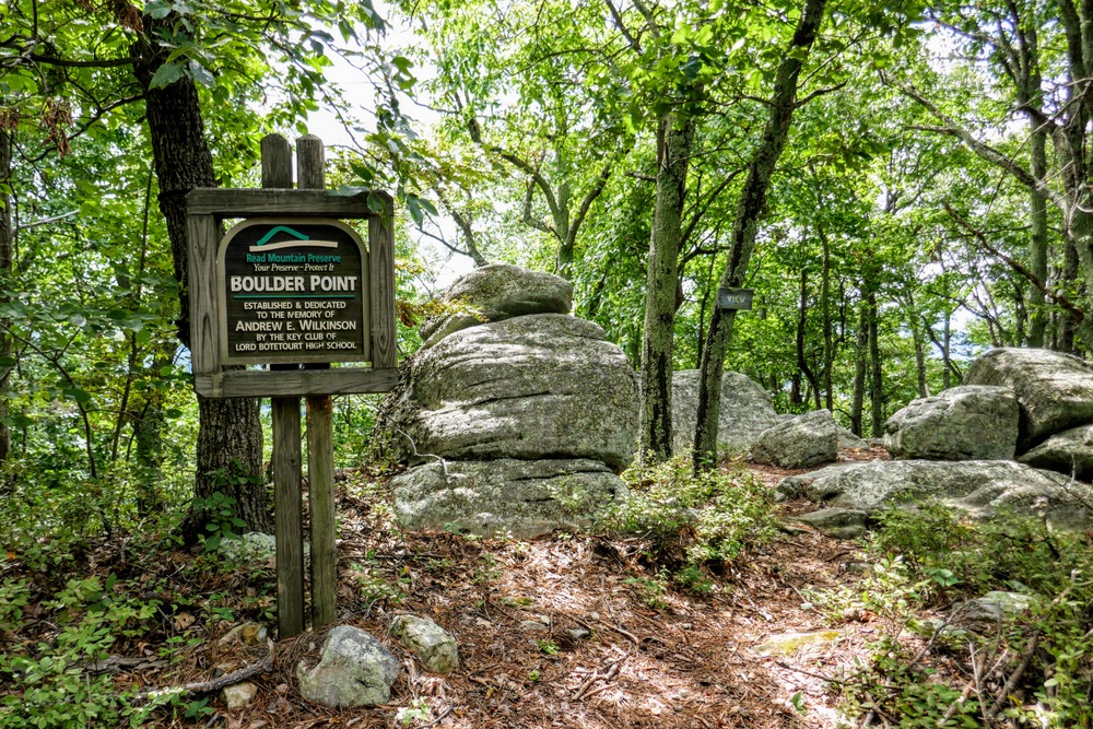
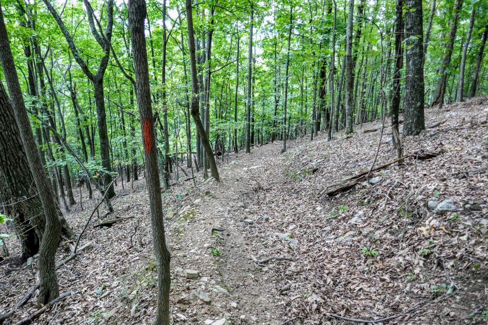
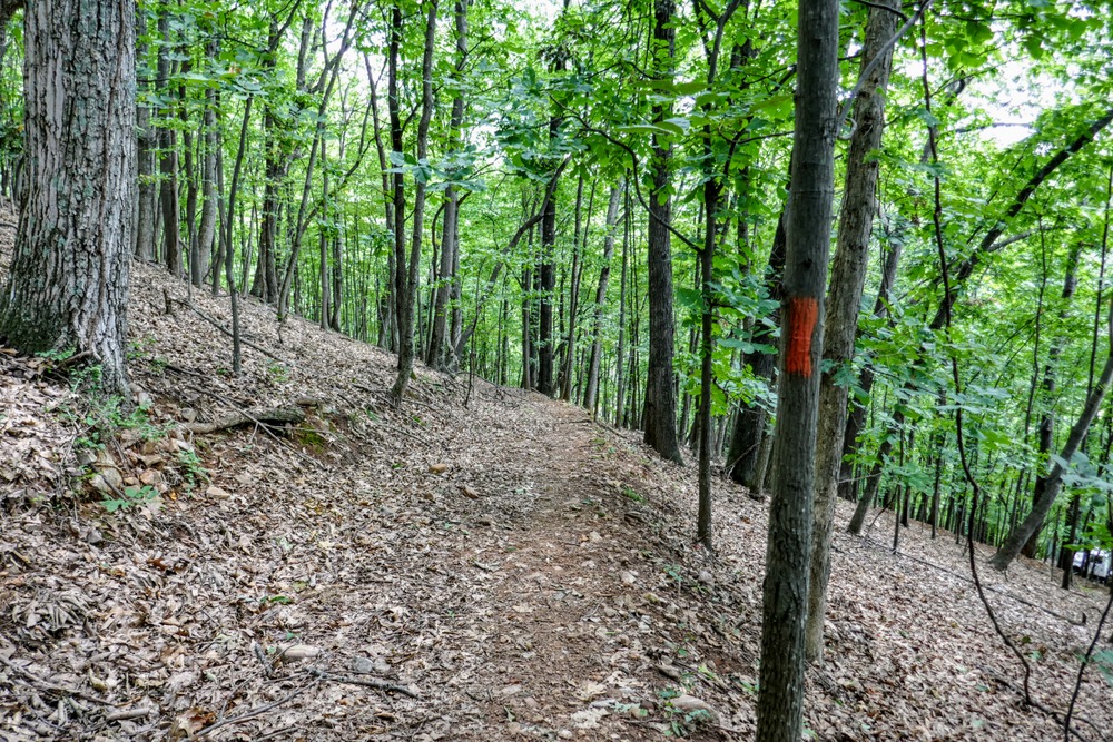
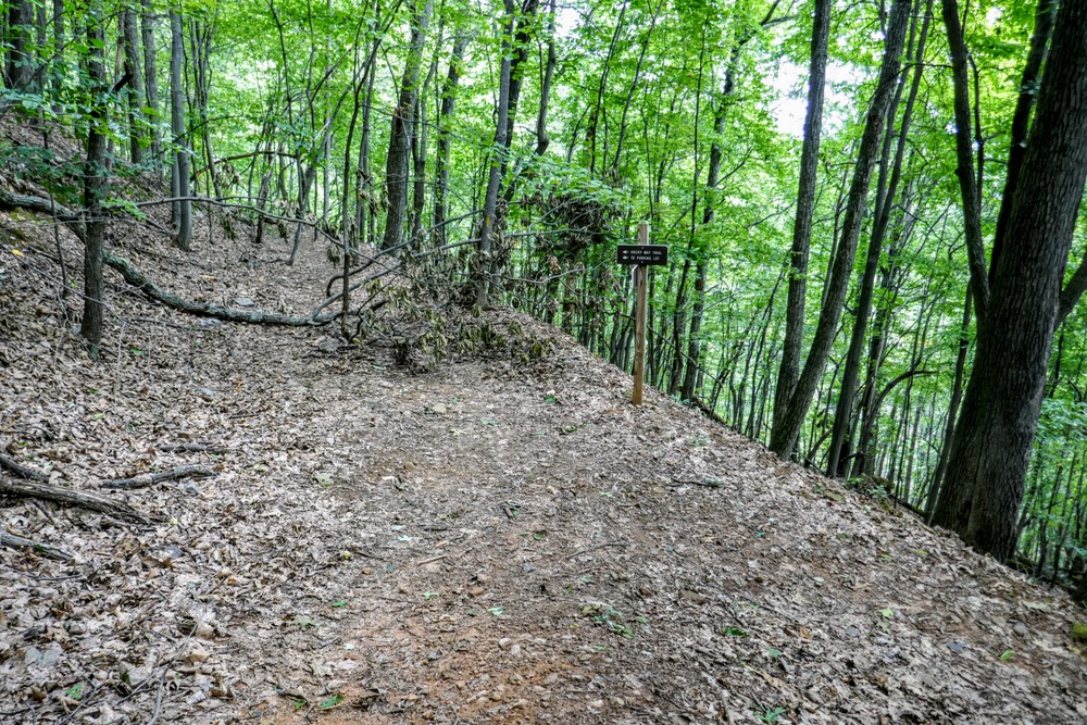
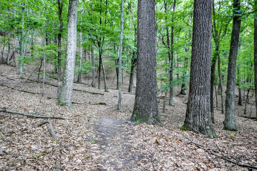
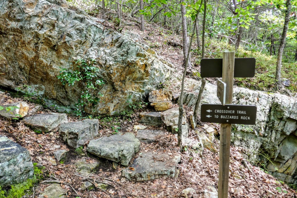
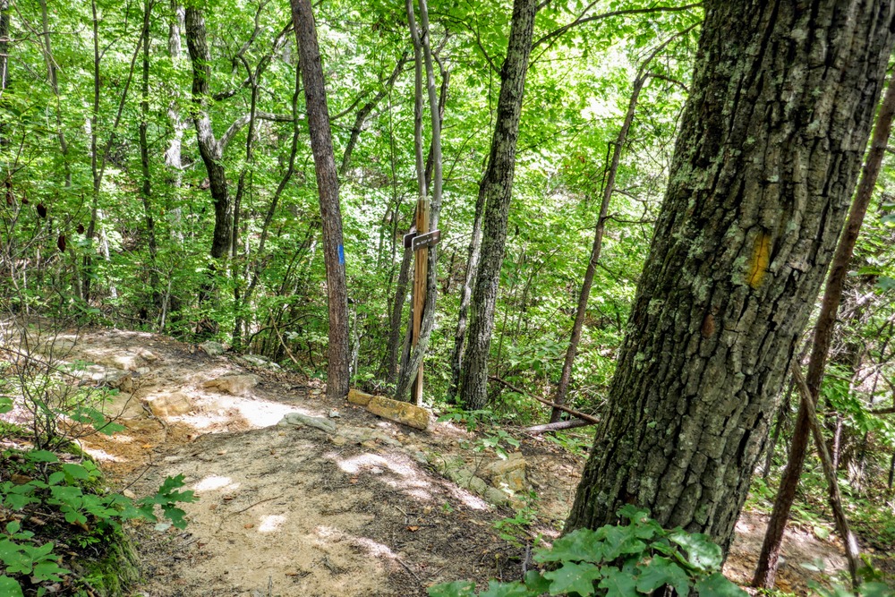
The Read Mountain Preserve is a wonderful urban hiking destination located in the northern outskirts of Roanoke, VA. This county park boasts four trails across 243 acres that can be utilized to create a loop featuring the highlights of the preserve. From the parking area, the Buzzards Rock Trail provides access to the park as it follows a dry ravine before climbing around the east side of Read Mountain. This trail brings you to Buzzards Rock, the best viewpoint in the park with western views of the peaks surrounding the Roanoke Valley. From Buzzards Rock you can either return to your car, or make a loop using the CCC and Rocky Way Trails. Although views are sparse outside of Buzzards Rock and Devil’s Drop, the mountain is covered in deciduous trees and you should have wonderful winter views from the CCC Trail as it gently traverses the crest of Read Mountain.
| Mile Summary and Highlights |
0.0 - Read Mountain Preserve parking
1.8 - View from Buzzards Rock
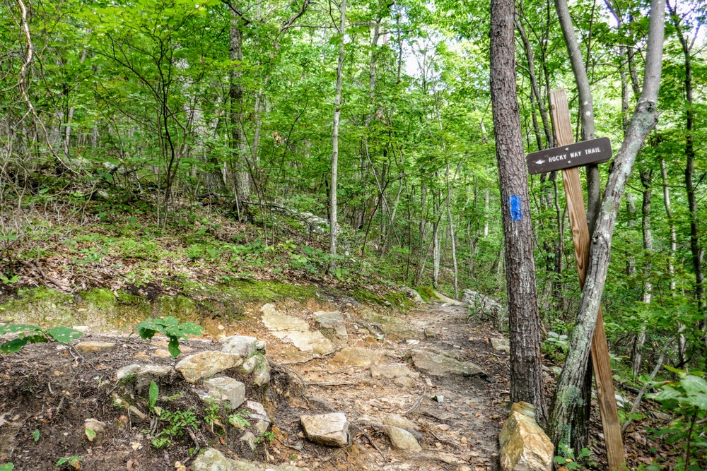
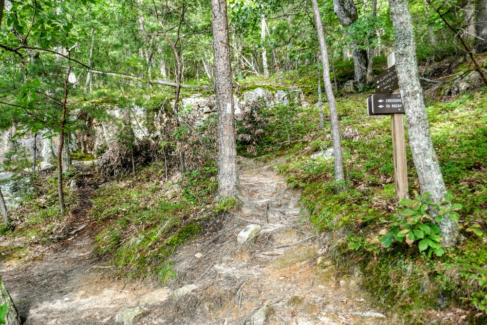
2.8 - Begin the Rocky Way Trail
4.0 - View from Devil’s Drop |


