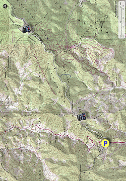
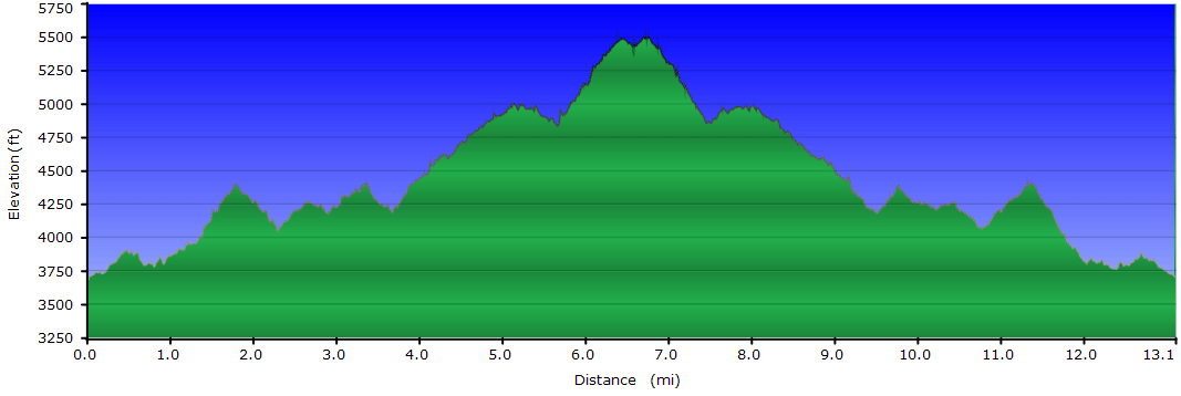
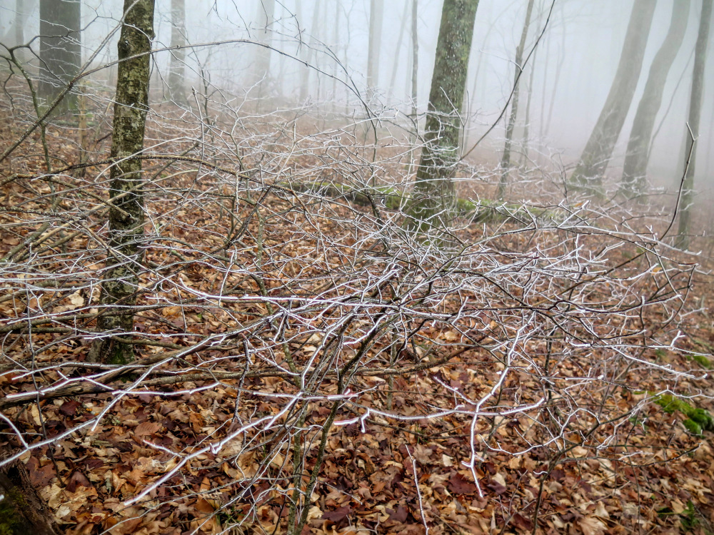
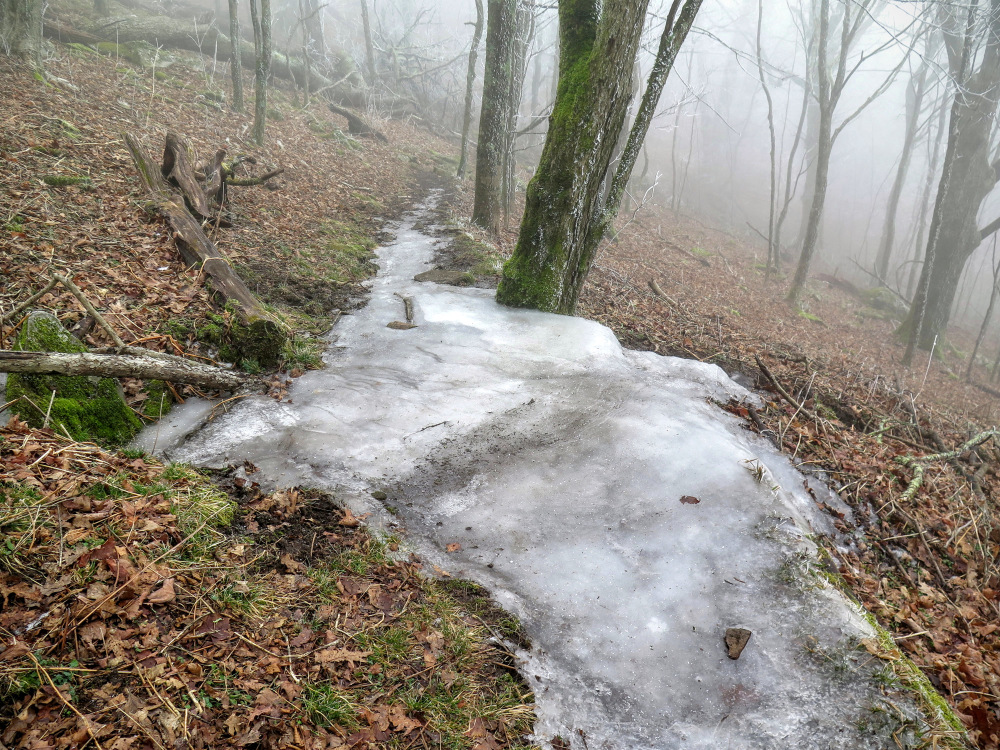
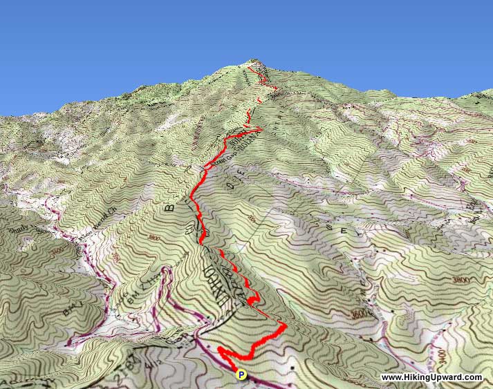
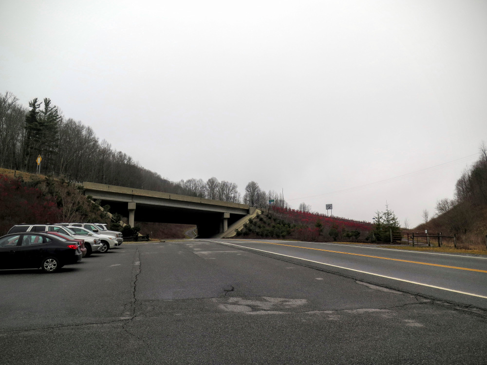
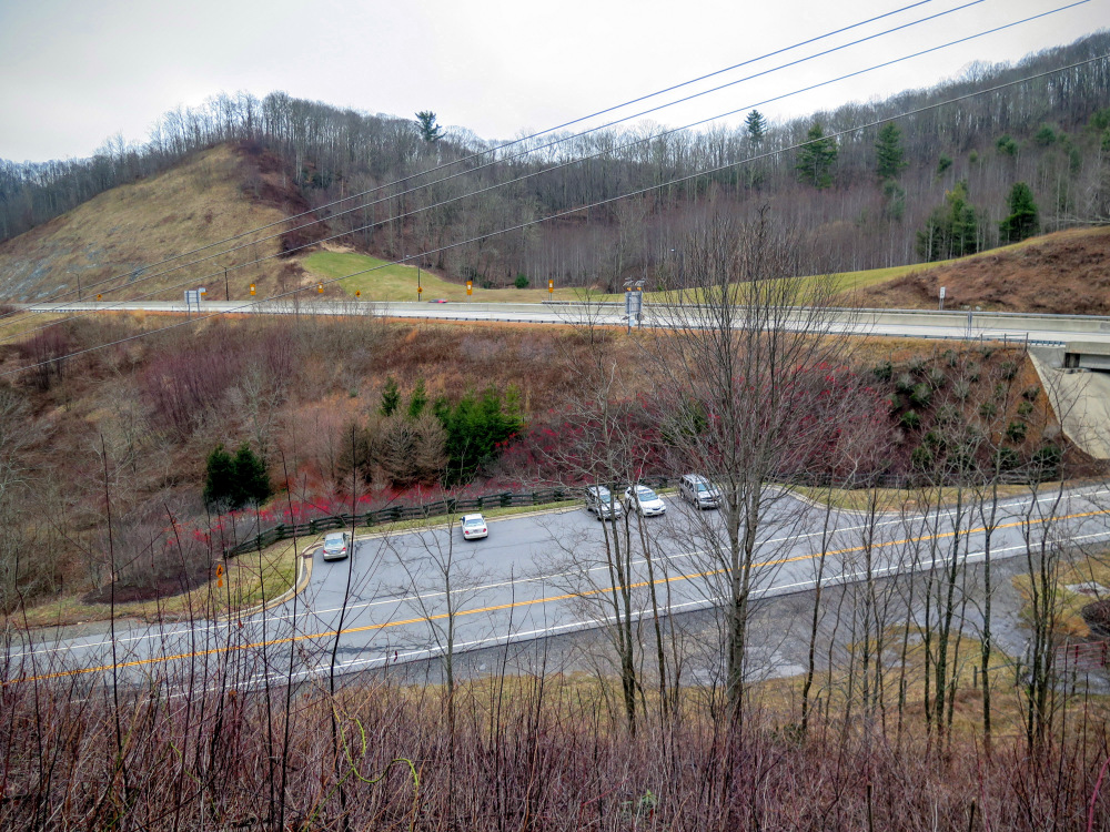
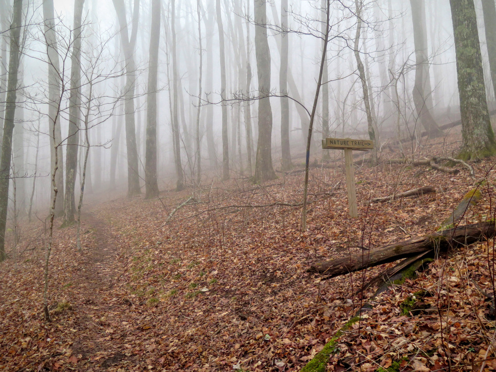
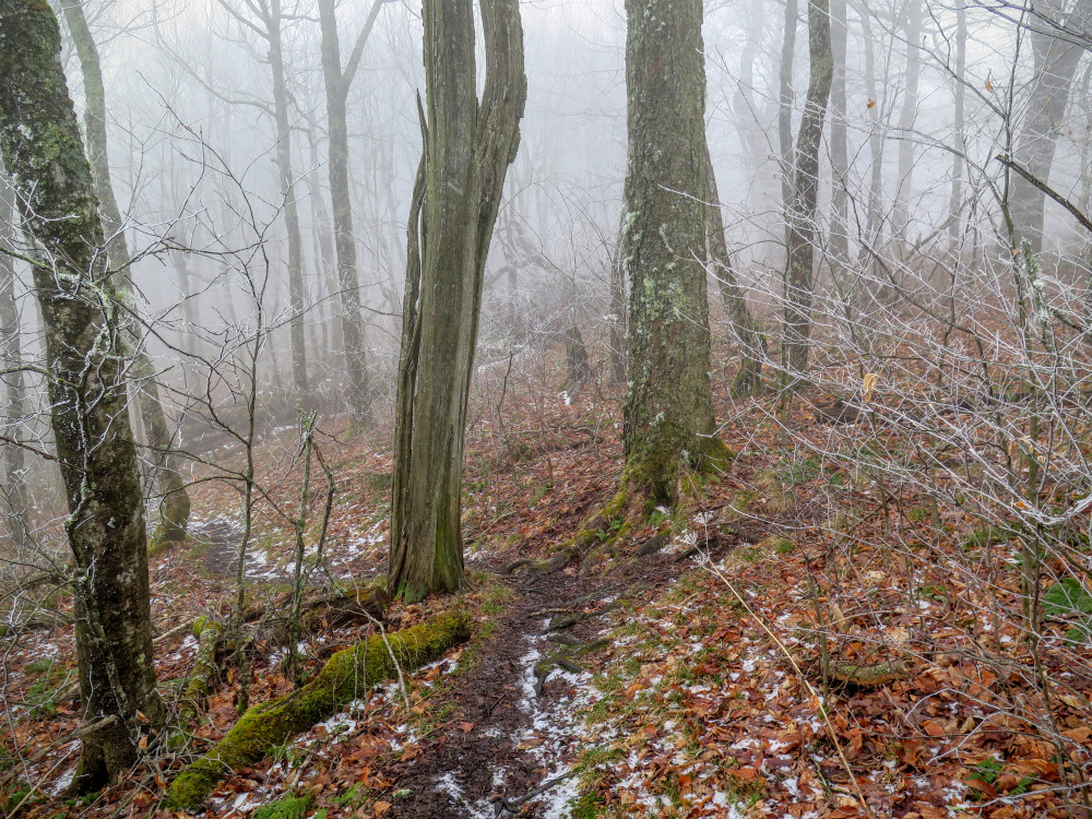
The long trek to Big Bald is a classic Appalachian Trail hike in the Southeast. (Unless you happen to be staying at the Wolf Laurel Resort, then you can take a much shorter hike to the summit.) Although long at 13 miles, this hike feels much easier than most because it is well-maintained and the grades are never too steep. It is also conveniently located off I-26, which means it is can be hiked all winter while other trails in the region may be inaccessible.
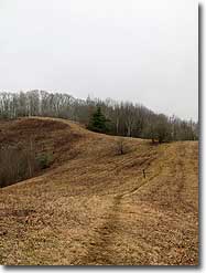
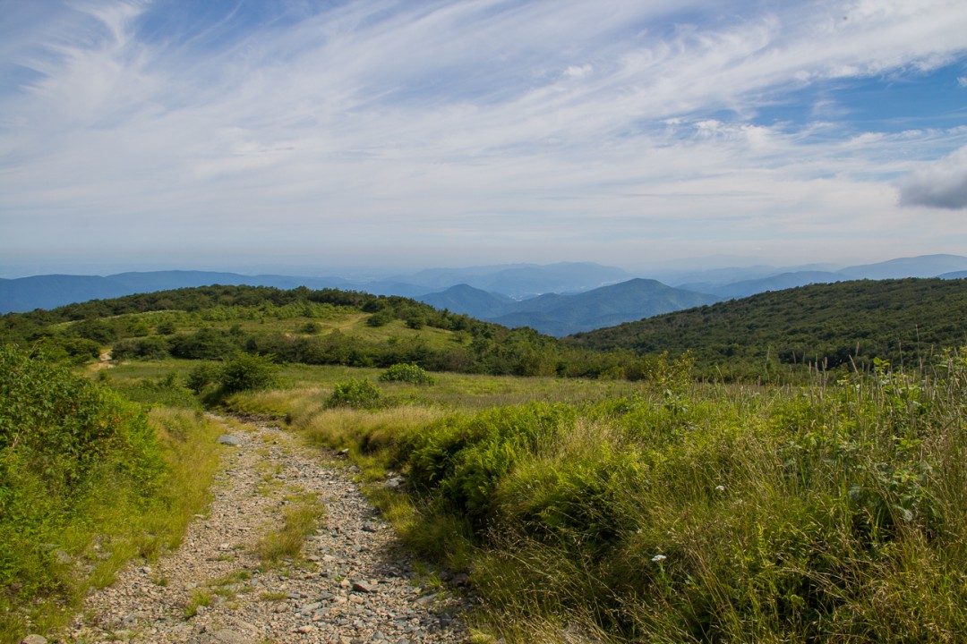
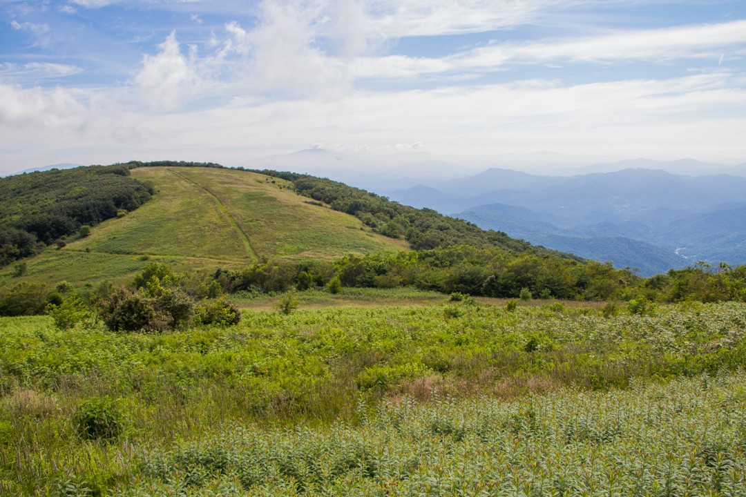
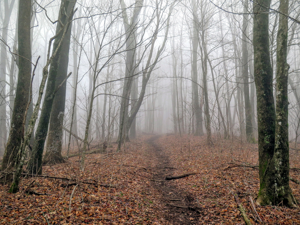
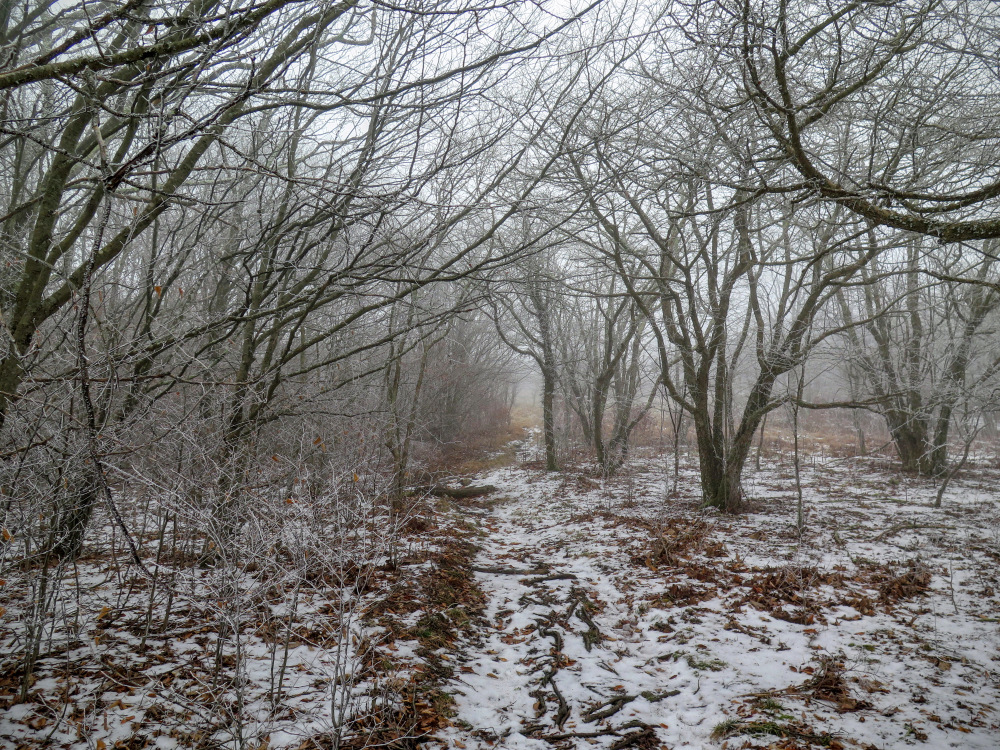
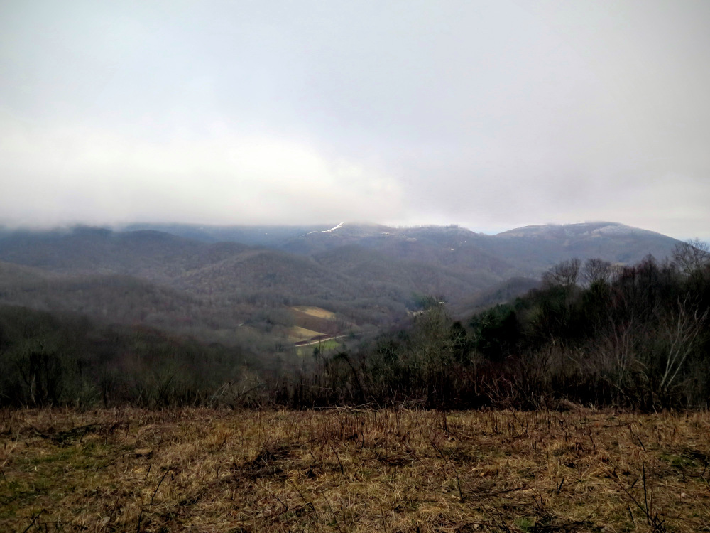
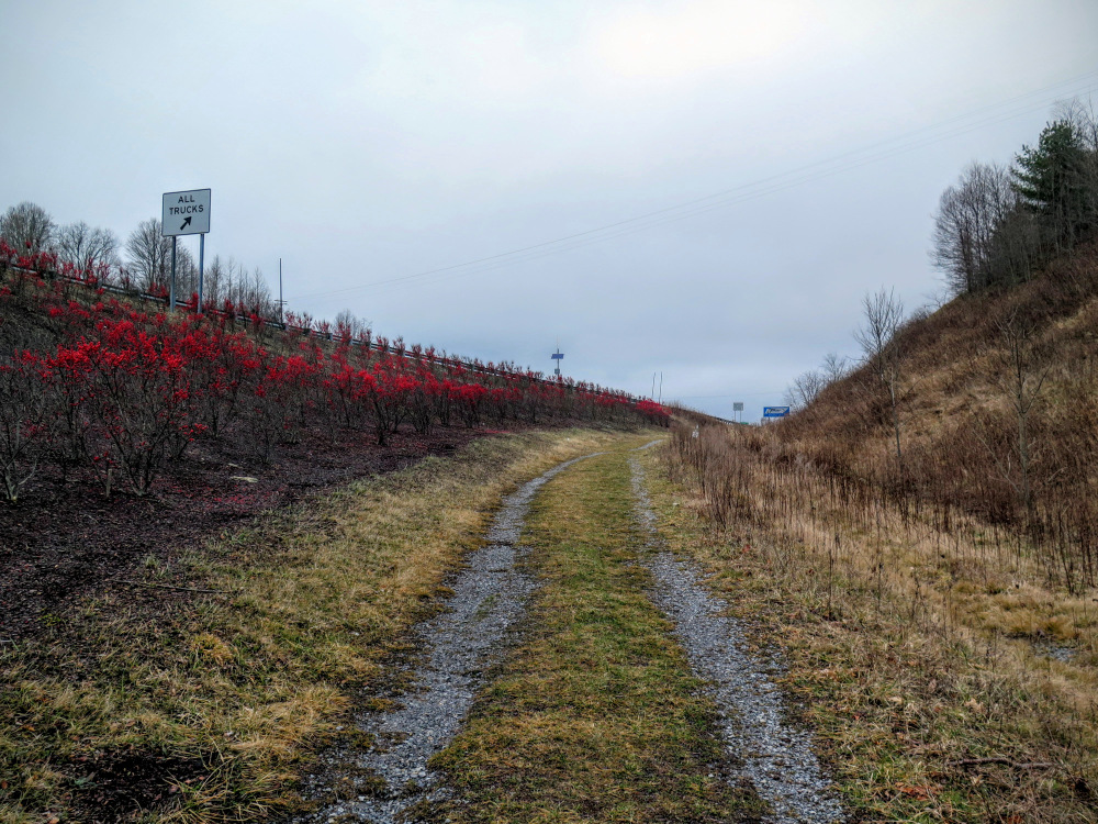
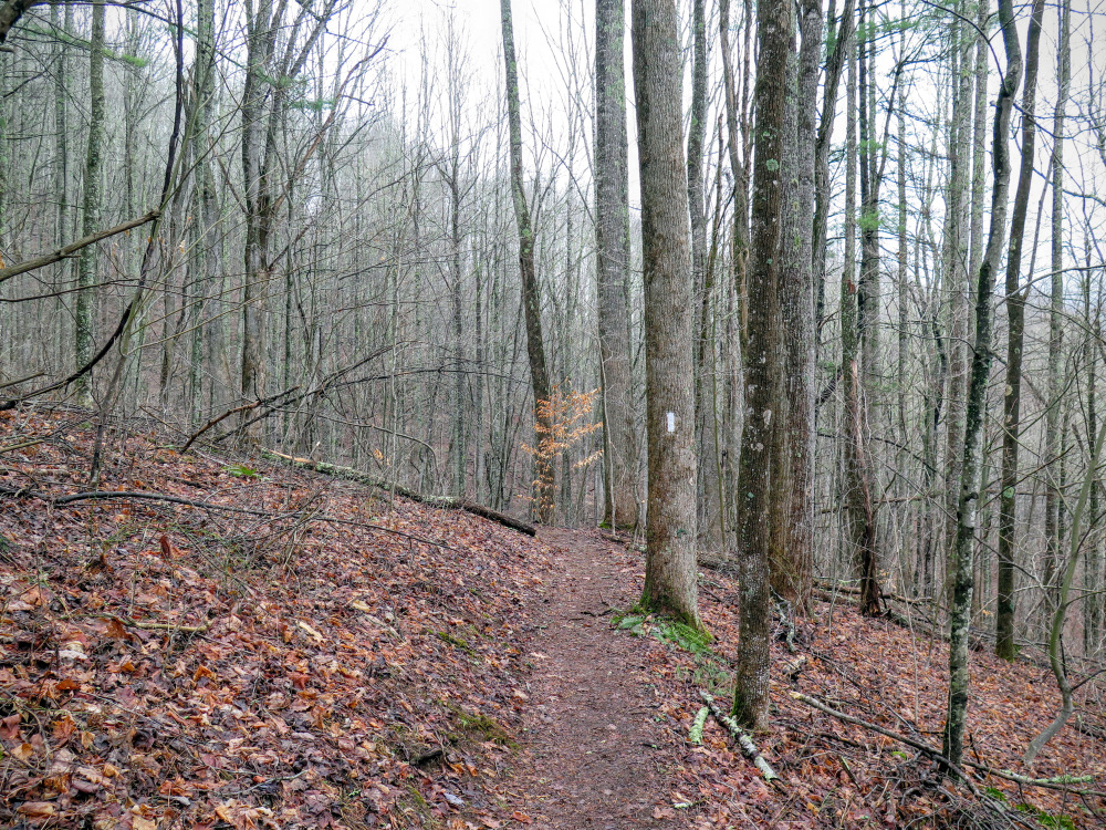
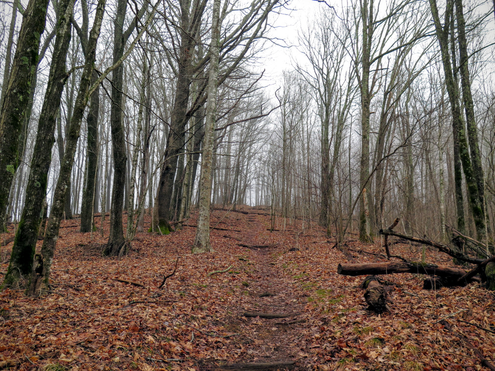
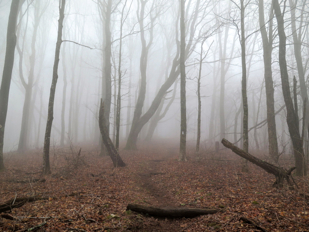
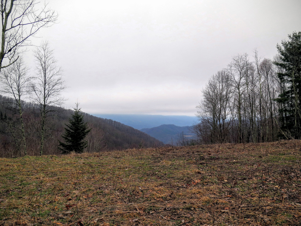
The hike starts at Sams Gap on the NC/TN border and gradually ascends through maple and oak forest for 6.5 miles to the expansive summit of Big Bald. From this lofty grassy bald at 5,516 feet, one of the finest in the Southeast, you’ll have 360° views of the Appalachian Mountains of North Carolina and Tennessee. Although Big Bald is the tallest peak on the Appalachian Trail for 148 miles you’ll be dwarfed by the Black Mountains (southeast) and Great Smoky Mountains (southwest), the two tallest ranges on the East Coast. You’ll also have clear views of the Roan Highlands, Great Craggy Mountains, Bald Mountains, and Newfound Mountains from the summit. Big Bald is truly a special mountain and should be at the top of your hiking priority list.
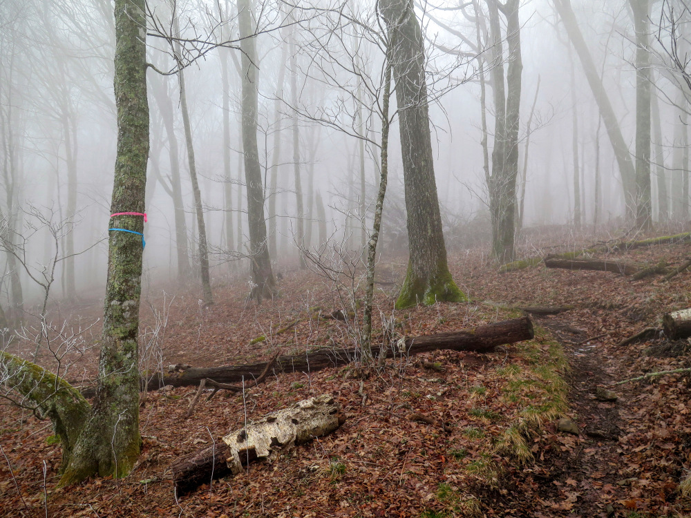
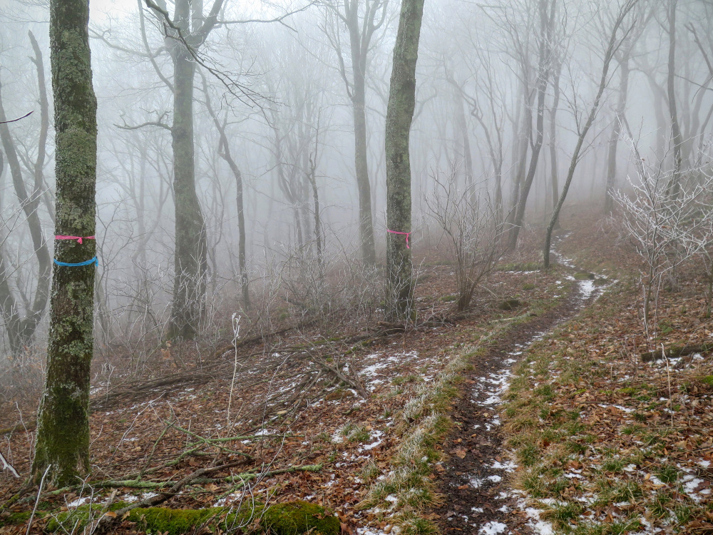
Mile 5.1 – A side trail on the left is marked with flagging tape. (This was likely an under-construction reroute for the Appalachian Trail that may now be completed.)
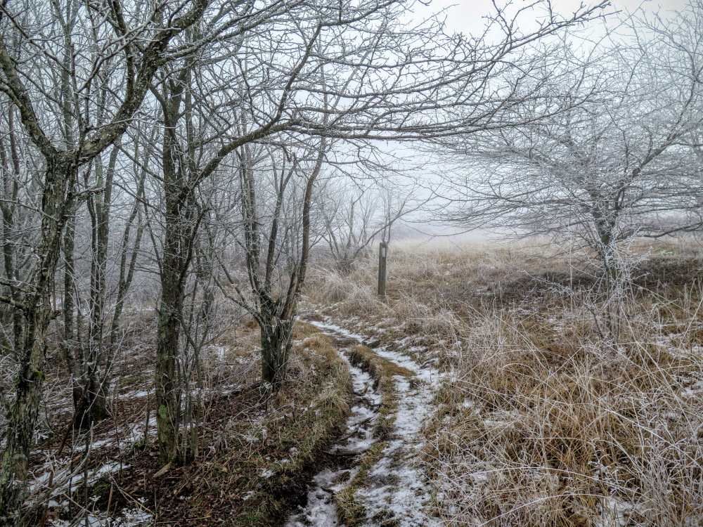
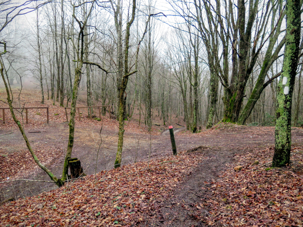
Mile 5.8 – Y-junction with the AT Alternate Trail (blue blaze) on the right. Continue left on the Appalachian Trail which starts climbing a moderately steep grade towards the top of Big Bald. The Alternate Trail can be used to bypass the exposed summit of Big Bald during bad weather.
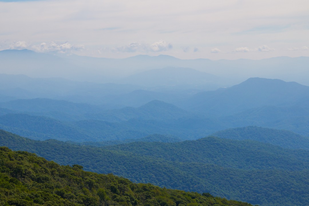
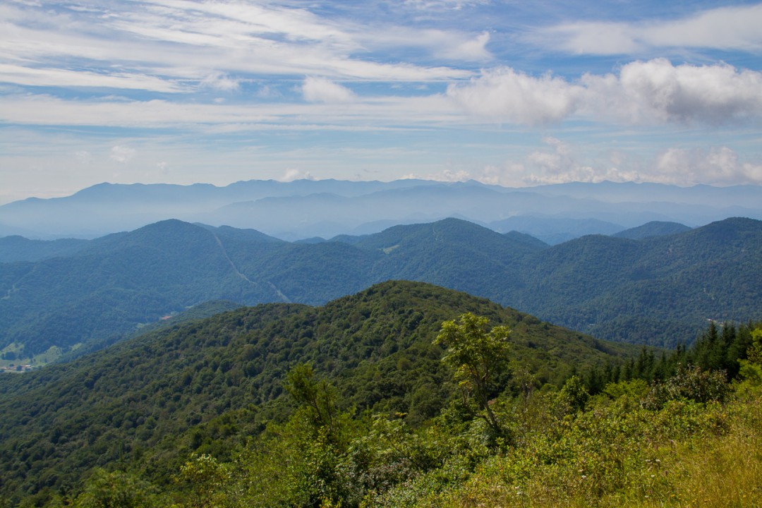
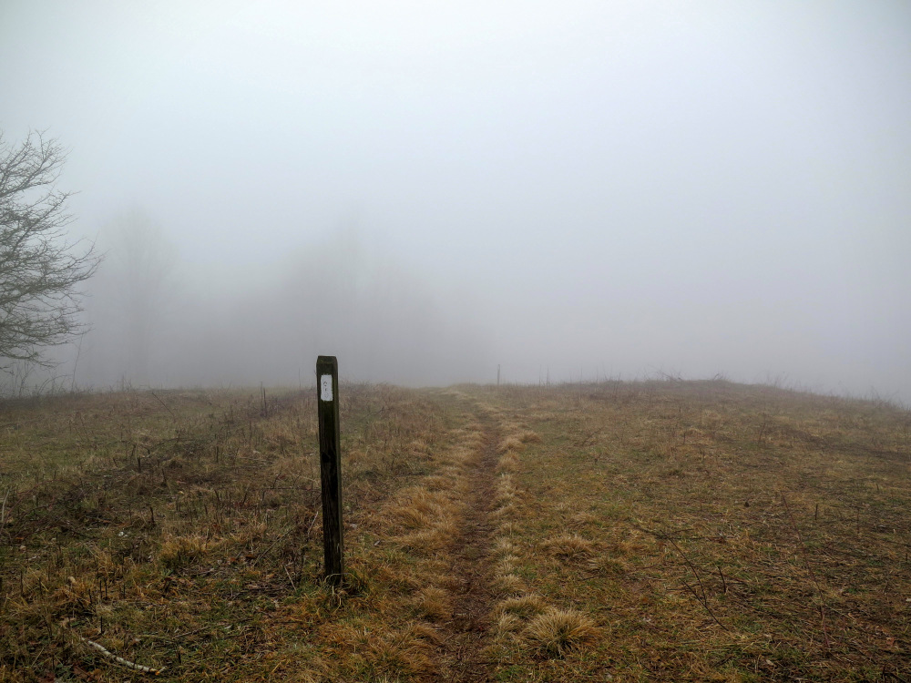
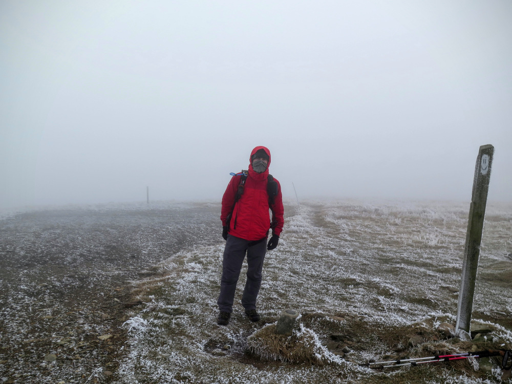
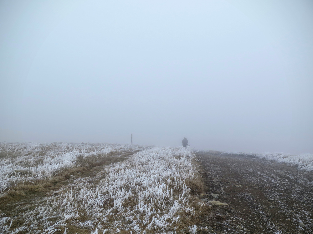
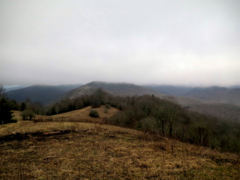
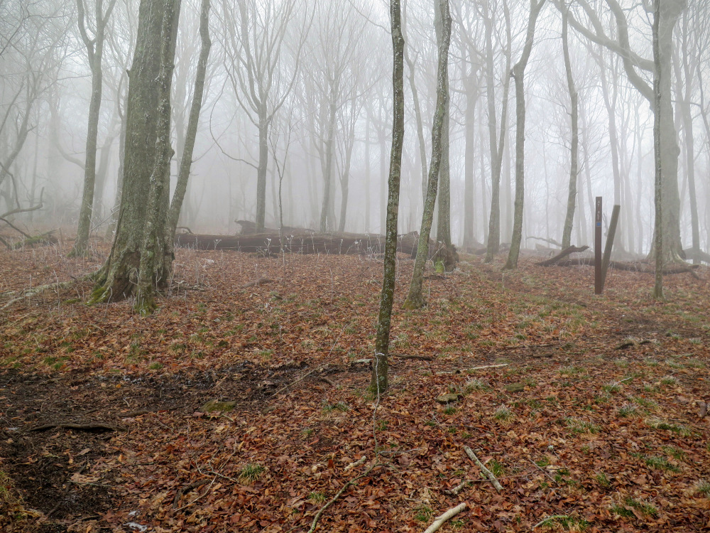
Mile 6.4 – Reach the summit of Big Bald. At 5,516 feet, this is the tallest peak in the Bald Mountains that straddle the North Carolina/Tennessee border and the tallest peak for 148 miles of the Appalachian Trail between the Great Smoky Mountains to the southwest and the Roan Highlands to the northeast. Immediately south you can see the houses and ski slopes of the Wolf Ridge Ski Resort. Further south the I-26 corridor leads to Asheville. To the south-southeast the Great Craggy Mountains and Black Mountains dominate the region. You may be able to spot the notable summits of Linville Gorge in the distant east. The first big peak in the north-northeast direction is Unaka Mountain, with the much taller peaks of the Roan Highlands further behind in the northeast direction. Almost due north the Nolichucky River sharply cuts between the mountains of Tennessee leading to Erwin and eventually Johnson City. To the southwest the Bald Mountains and Newfound Mountains seem noticeably small in the forefront of the Great Smoky Mountains.
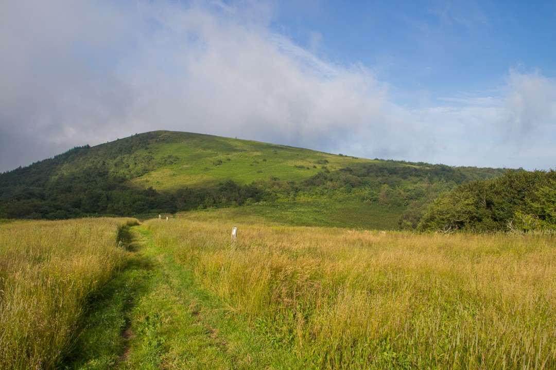
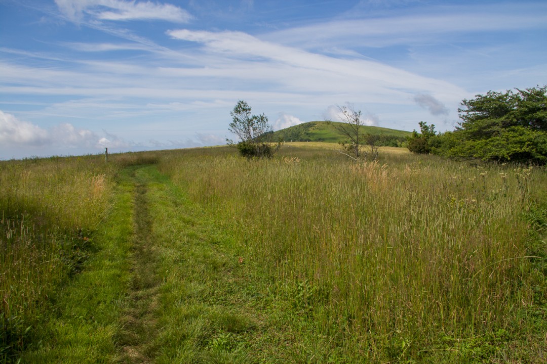
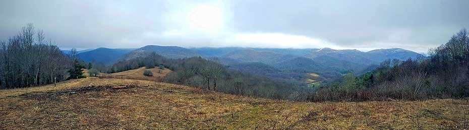
If you have time you should continue north on the Appalachian Trail to Big Stamp, a bald sub peak of Big Bald. You can see open grass extending to Big Stamp from Big Bald, it is less than a mile between the peaks. After you’re done exploring the area turn around and head south on the AT towards Sams Gap.
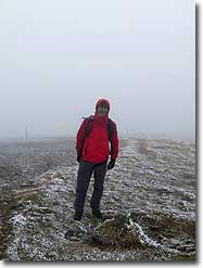
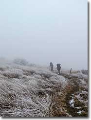
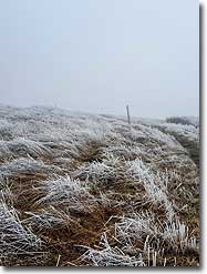
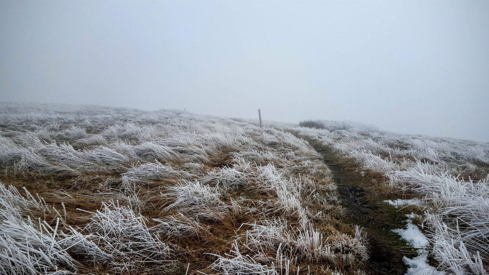
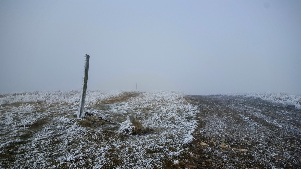
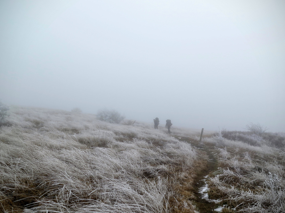
I hiked to Big Bald from the opposite direction, and I have to say, it is a pretty nice summit when it's not socked in icy clouds! I would rate this as one of the best views in North Carolina on a clear day. You can pick out almost every 6,000-foot peak, which is remarkable.
By:Bald Mountain House: Monica
Rating:
Date of Hike: Thursday, September 20, 2018
I have hiked Big Bald and surrounding areas many times as I live inside the Wolf Laurel Community.
The original Wolf Laurel developer, having owned Big Bald Mountain at one time, retained the rights to the roads at Big Bald after the sale to the AT thus, giving the Wolf Laurel community a private gated entrance onto the AT at Big Stamp and Big Bald Mountain.
I have owned and operated a B&B inside the Wolf Laurel Resort and Ski Area since 2000. Guests of the Bald Mountain House (elevation: 4,500') are entitled to use this AT access point for hikes. This offers hikers a shortcut onto the AT ( a 1/4 mile hike from the parking area) at Big Bald Mountain (elevation:5516') and Big Stamp.
Bald Mountain is a great starting point for a round trip hike to Sam's Gap and, in the other direction, to Spivey Gap.
For those looking for a break from tent camping and sleeping bags or cold weather nights, I offer comfortable king and queen beds and a full, hot breakfast each morning (I am a trained chef) included with your stay.
Please do not ask me to get you through the gate without staying here as I am not allowed to do this per Wolf Laurel Resort restrictions. You must be a guest or property owner of the community.


