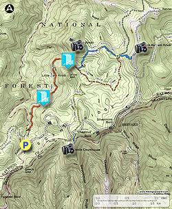
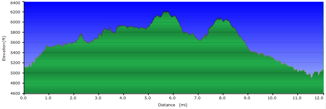
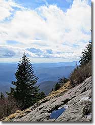
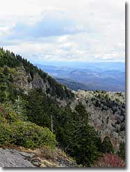
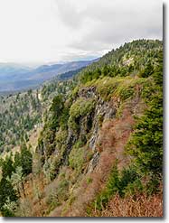
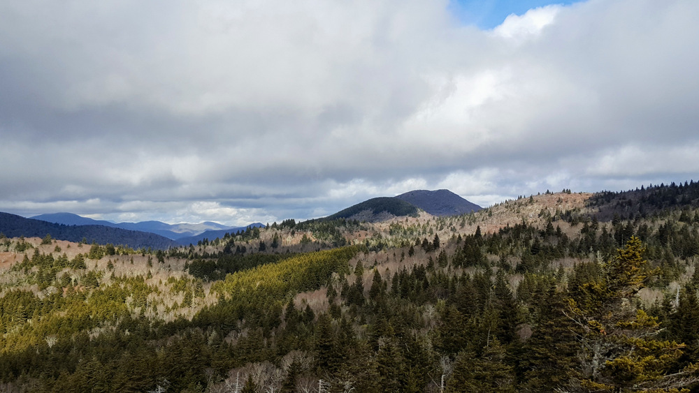
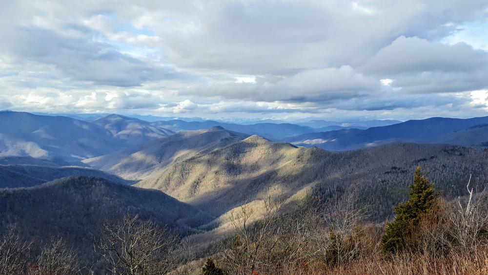
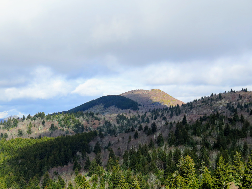
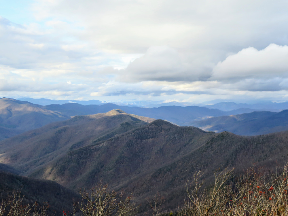
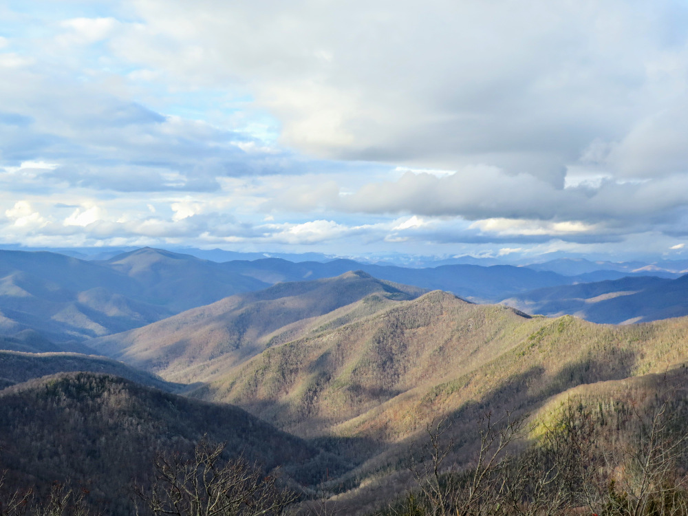
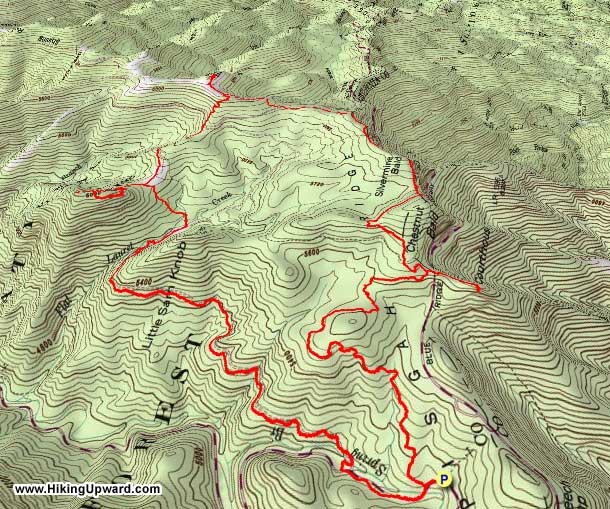
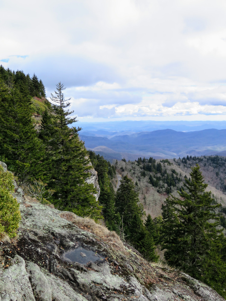
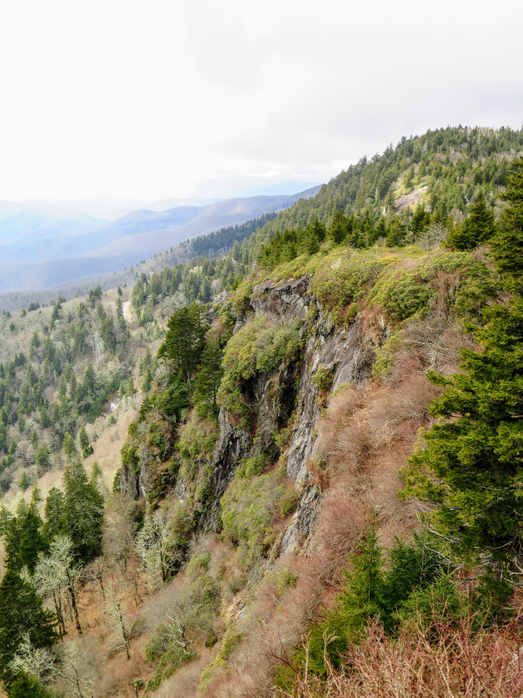
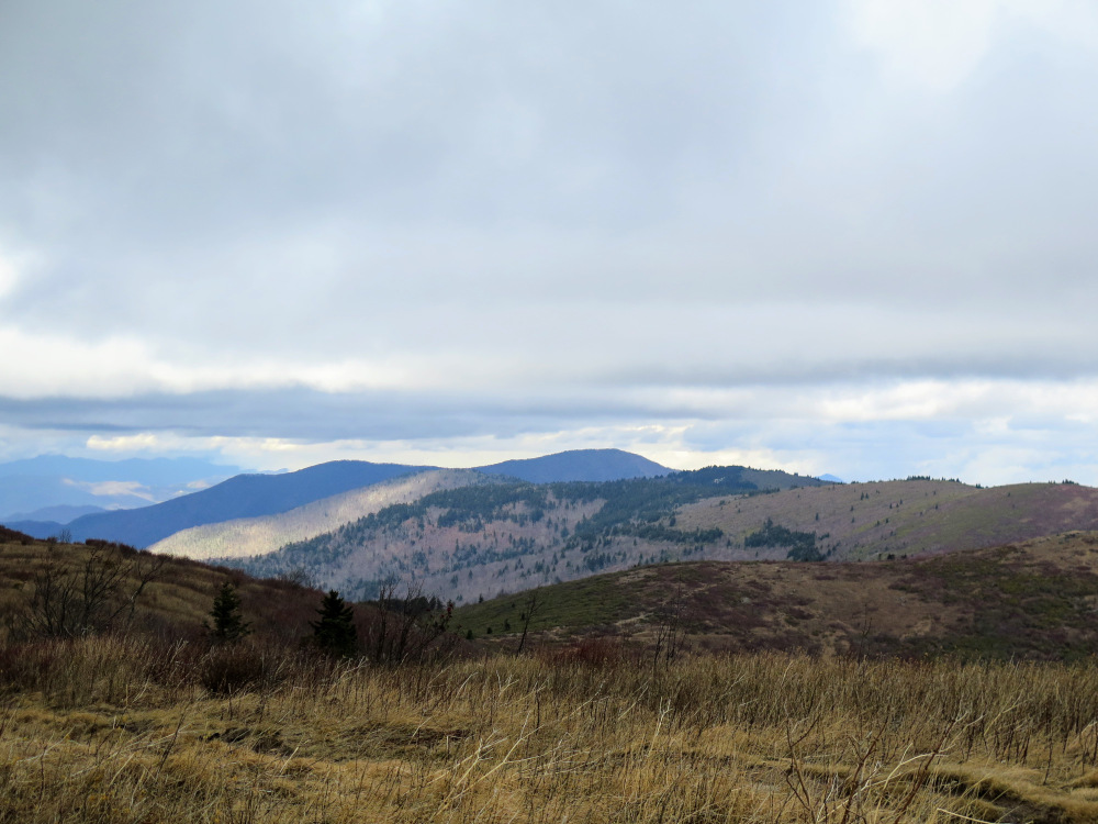
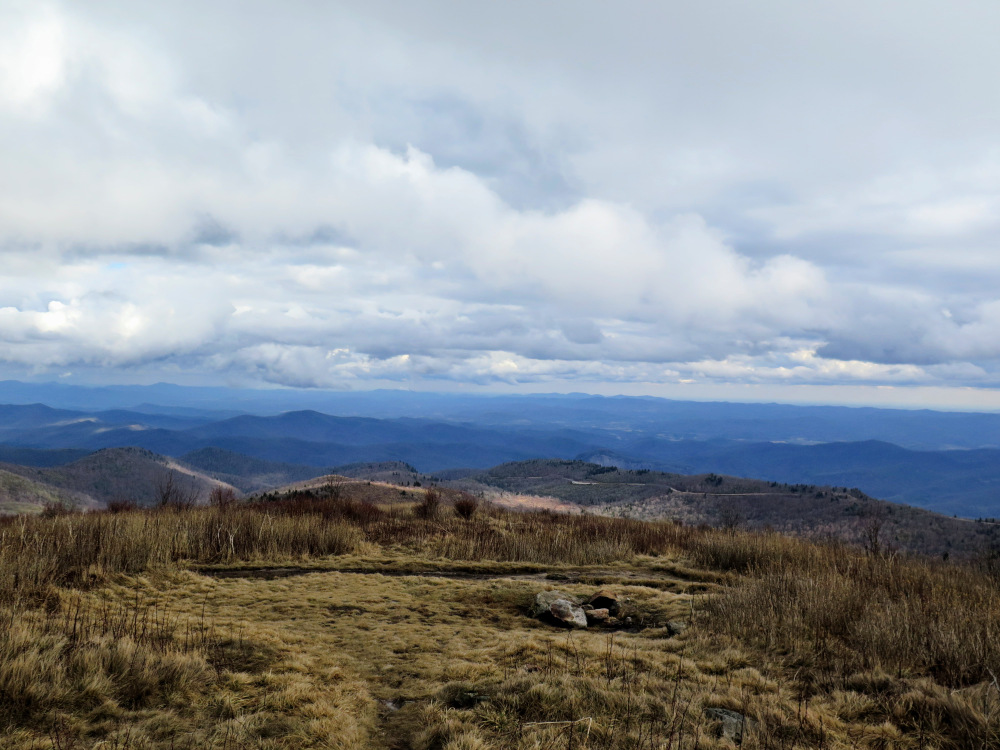
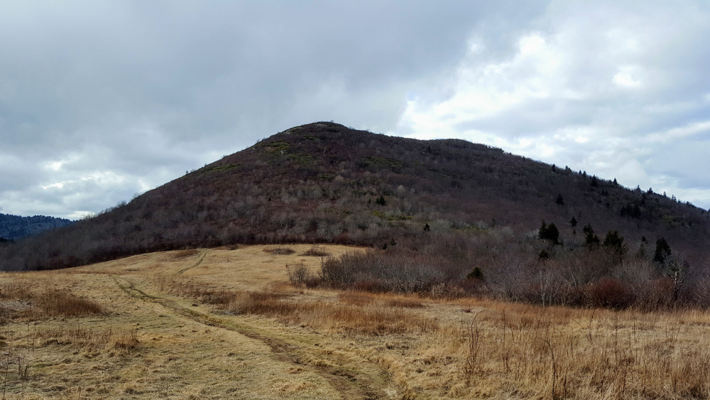
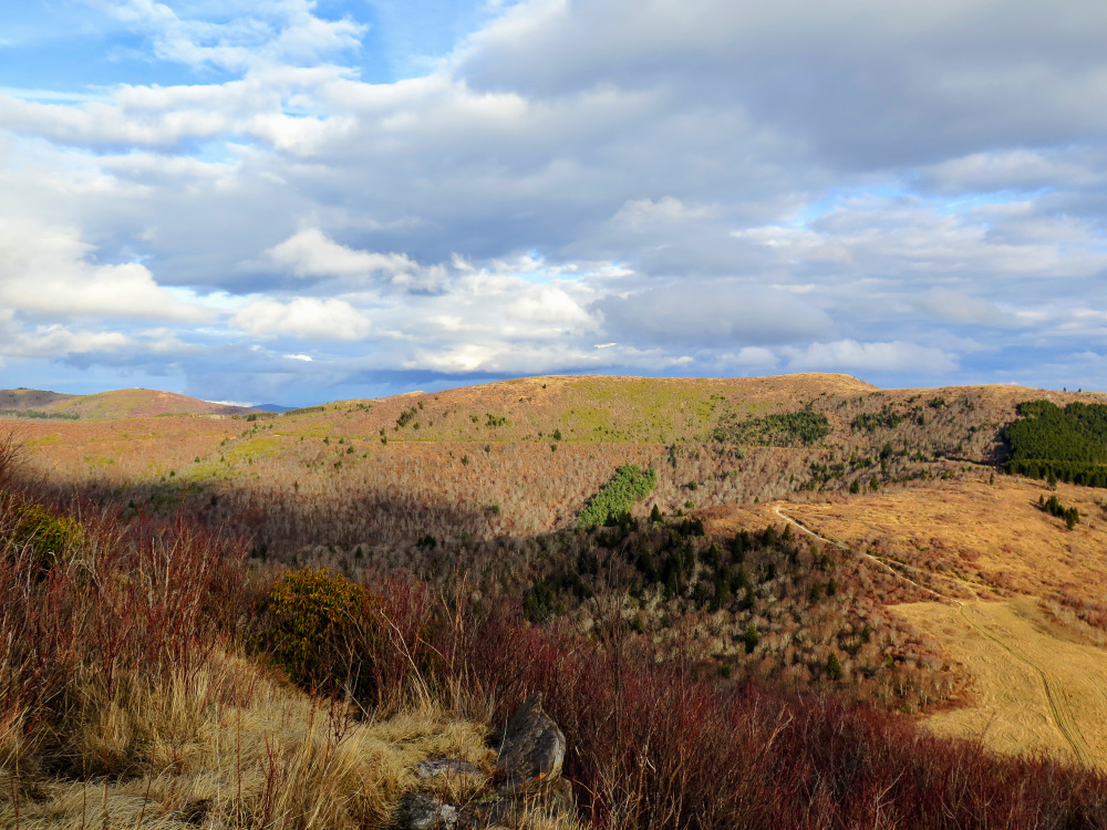
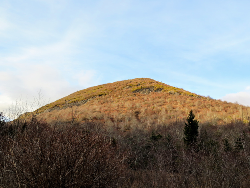
This loop hike in Pisgah National Forest, tucked between the Shining Rock and Middle Prong Wilderness Areas, is one of the most scenic hikes in North Carolina. The nearly mile-high plateau around the Flat Laurel Creek watershed offers views upon views from many prominent peaks. You’ll begin your hike on the Mountains-to-Sea Trail heading east from N.C. 215 and hover between 5,000 and 6,000 feet for the most of the hike. Devils Courthouse is the first notable summit you’ll visit just above the Blue Ridge Parkway. The tall cliffs offer 270° views of surrounding mountains in three states. Next you’ll pass by sheer cliffs below Chestnut and Silvermine Balds with in-your-face views of Pilot Mountain and Looking Glass Rock. The highlight of this hike, and the region, is the grassy expanse of Black Balsam Knob. At 6,214 feet this is the 2nd tallest peak in the Great Balsam Mountains and is comparable to the Roan Highlands.
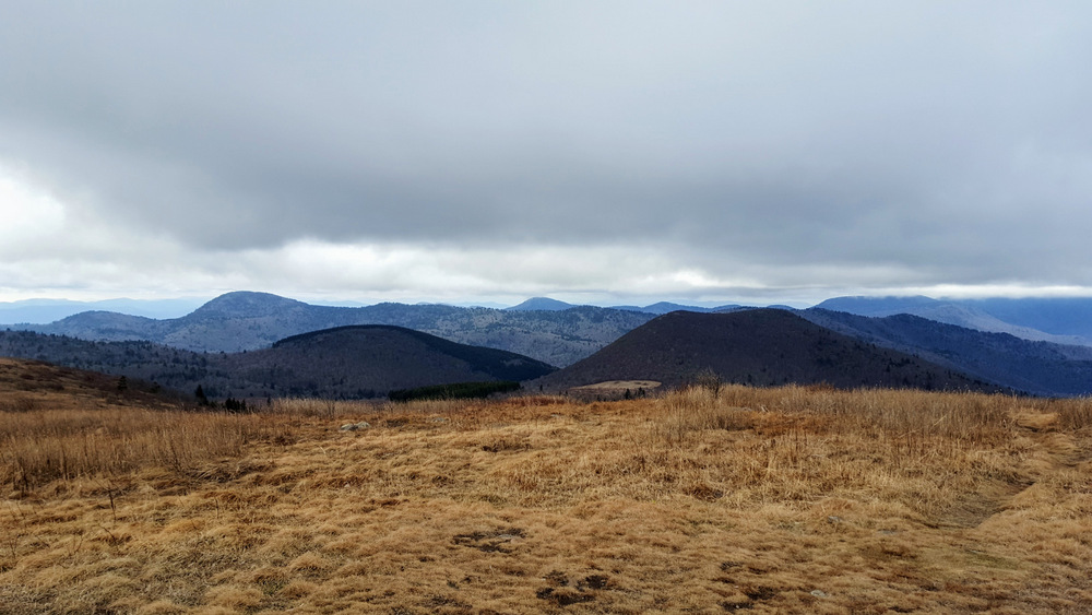
The double-humped Sam Knob is the third noteworthy peak on this hike. Both north and south knobs have grand views of the region. During the final leg of the hike you’ll drop into the high-elevation Flat Laurel Creek bowl following the creek beside campsites and waterfalls while Little Sam Knob and Sam Knob tower above. Before the hike ends you’ll get a last-second treat passing below Wildcat Falls. This loop is perfect for a full-day or a weekend backpacking trip and truly one of the most stunning hikes in the state.
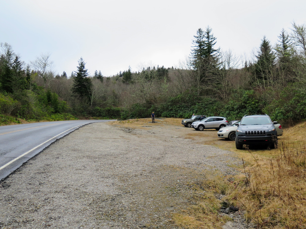
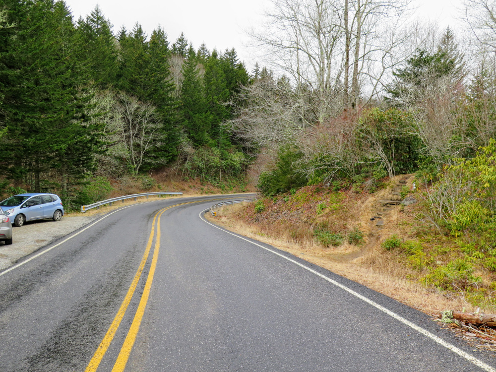
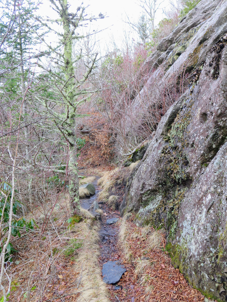
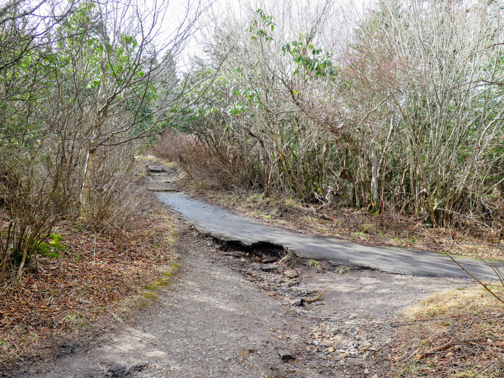
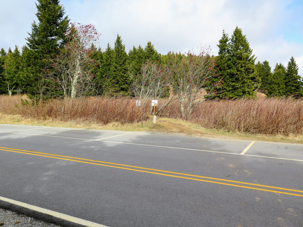
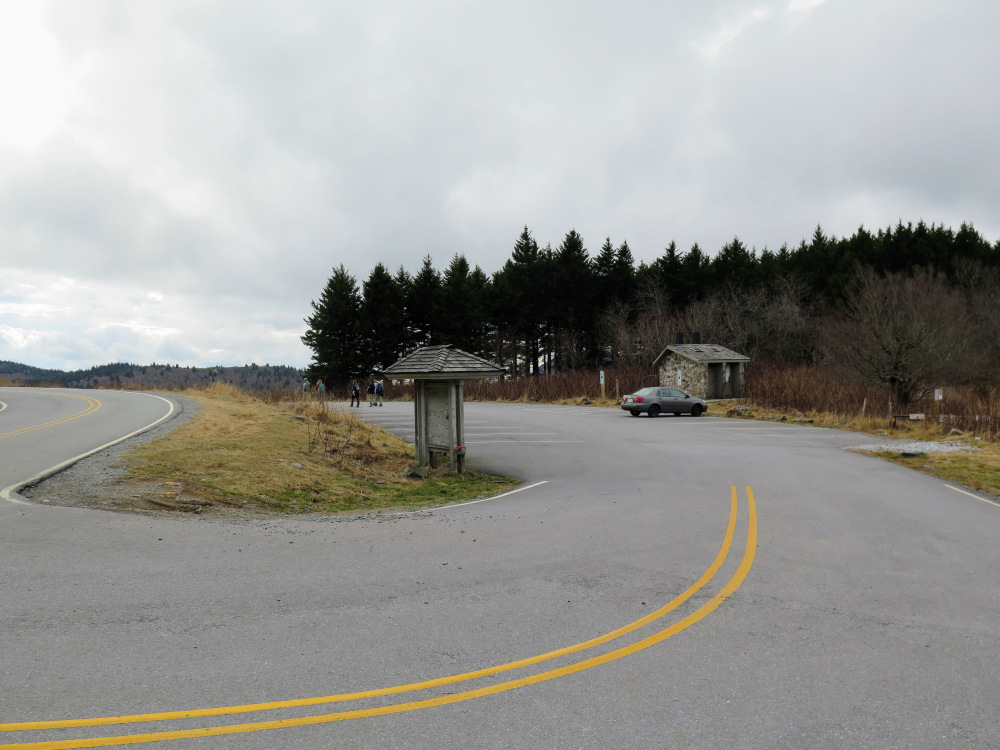
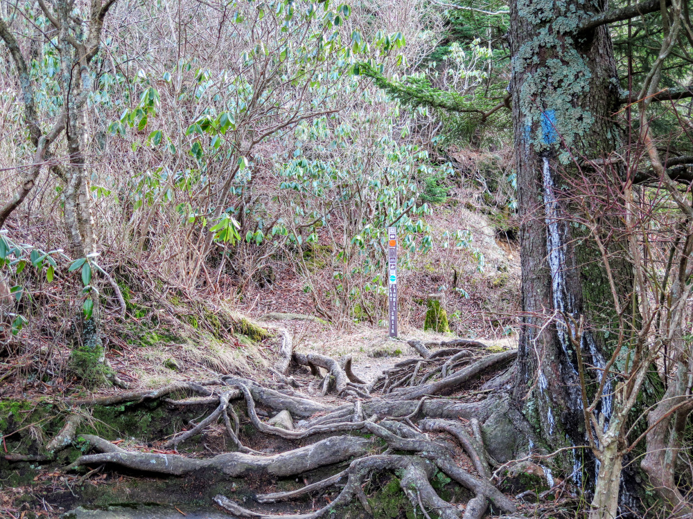
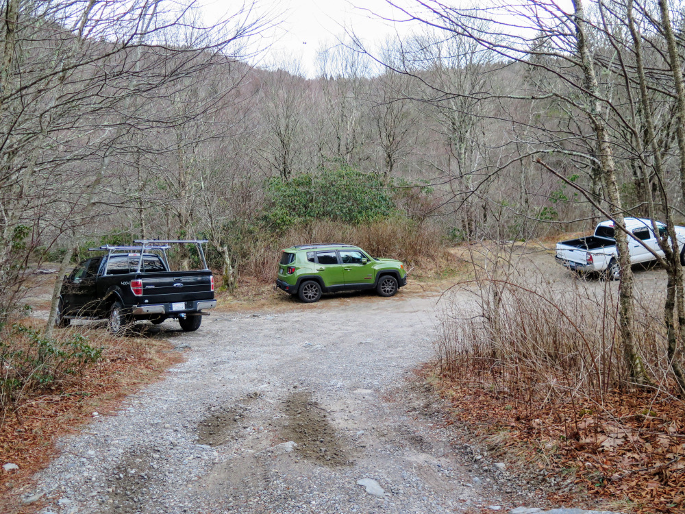
Parking – There are two pullouts on N.C. 215 near the Mountains-to-Sea Trail crossing. The larger parking area is 100 feet south of the trail crossing. In order to complete this loop you’ll have to walk 0.4 mi on N.C. 215 between the Mountains-to-Sea and Flat Laurel Creek Trails. You can also park at the Flat Laurel Creek Trail, but the parking entrance is steep and is tough for small cars.
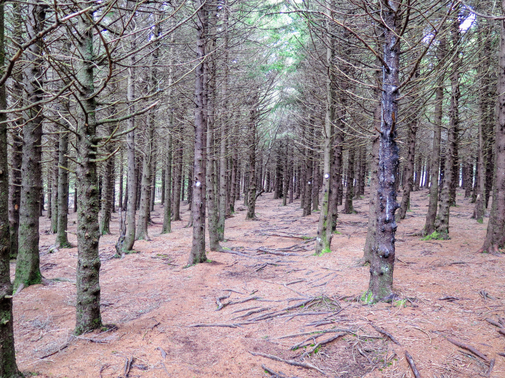
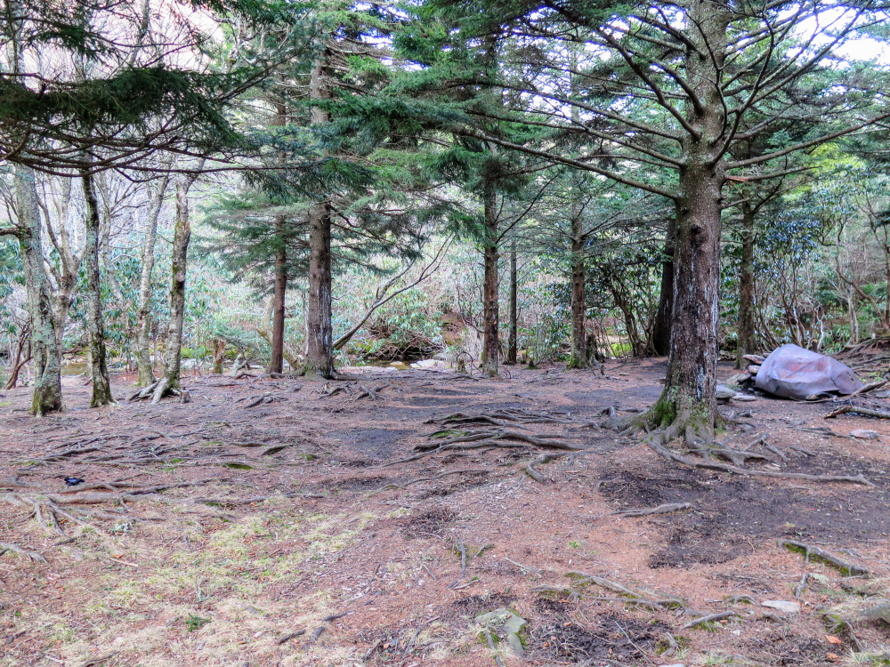
Backcountry Camping – There are many great campsites to choose from along this hike. Most of them are not beside water sources, so packing in water or a hiking to a water source will be necessary. Bear canisters are required in this area.
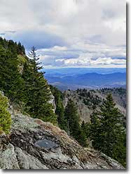
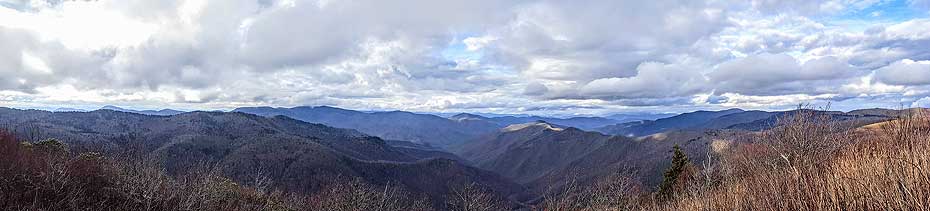
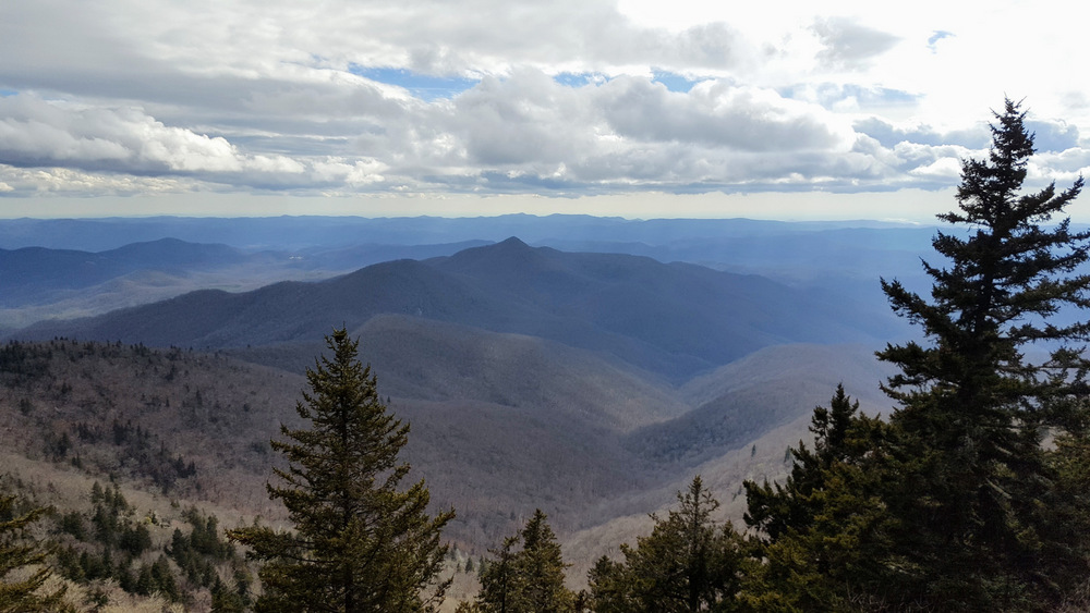
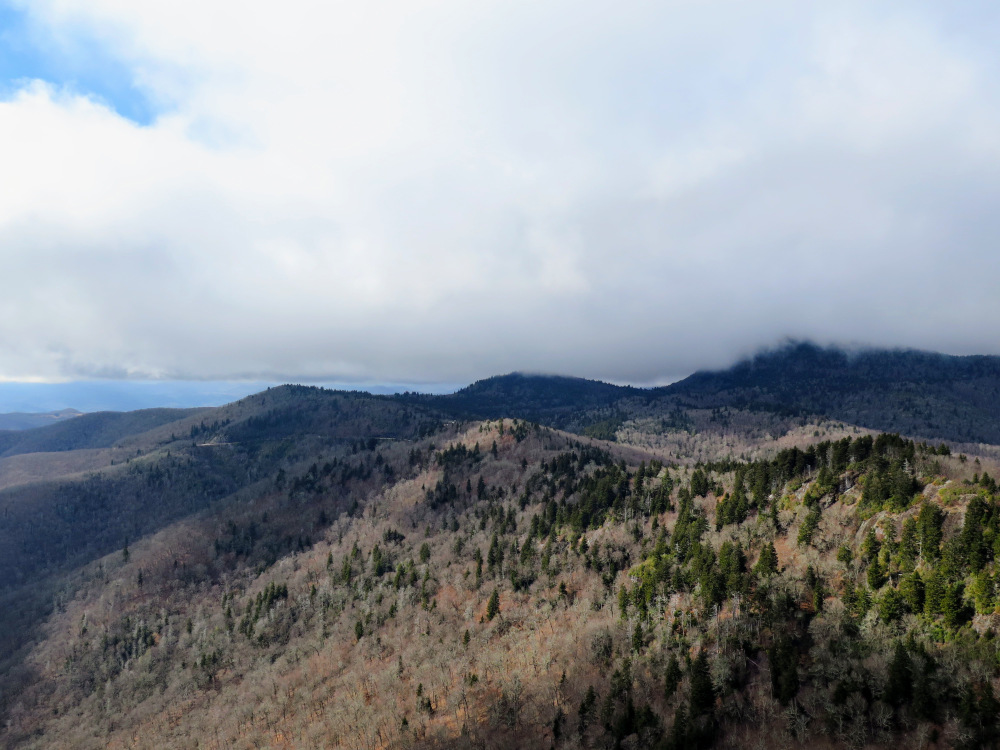
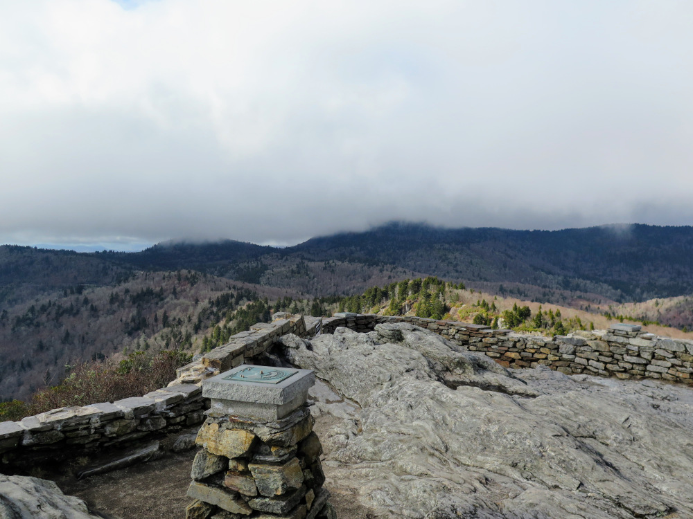
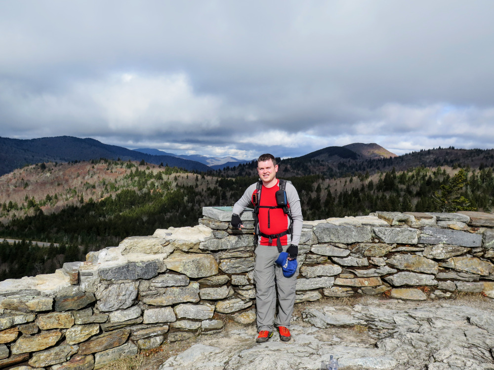
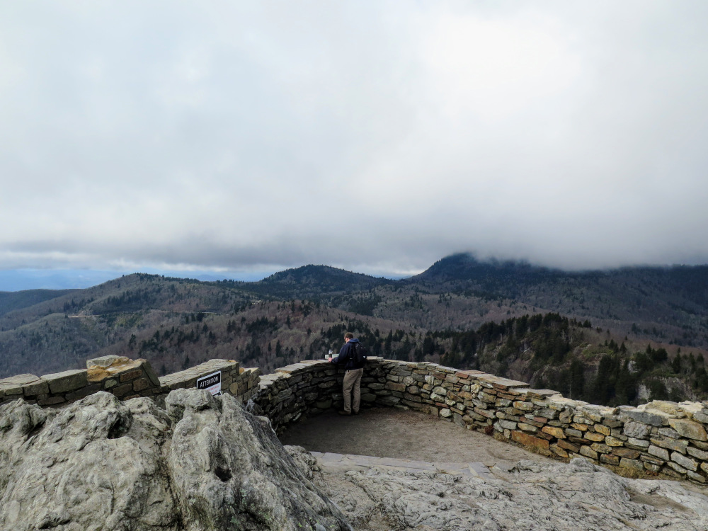
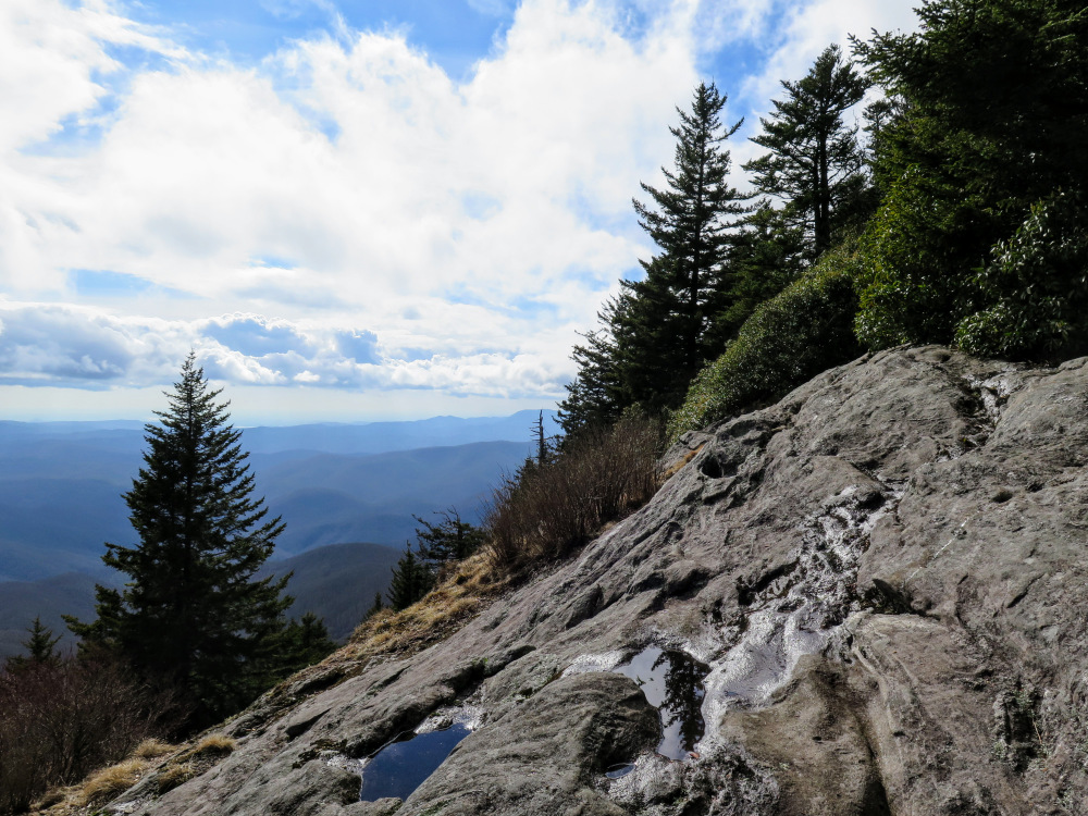
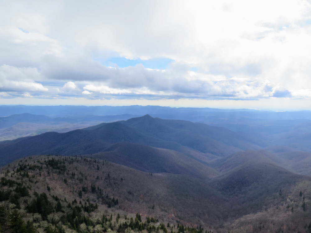
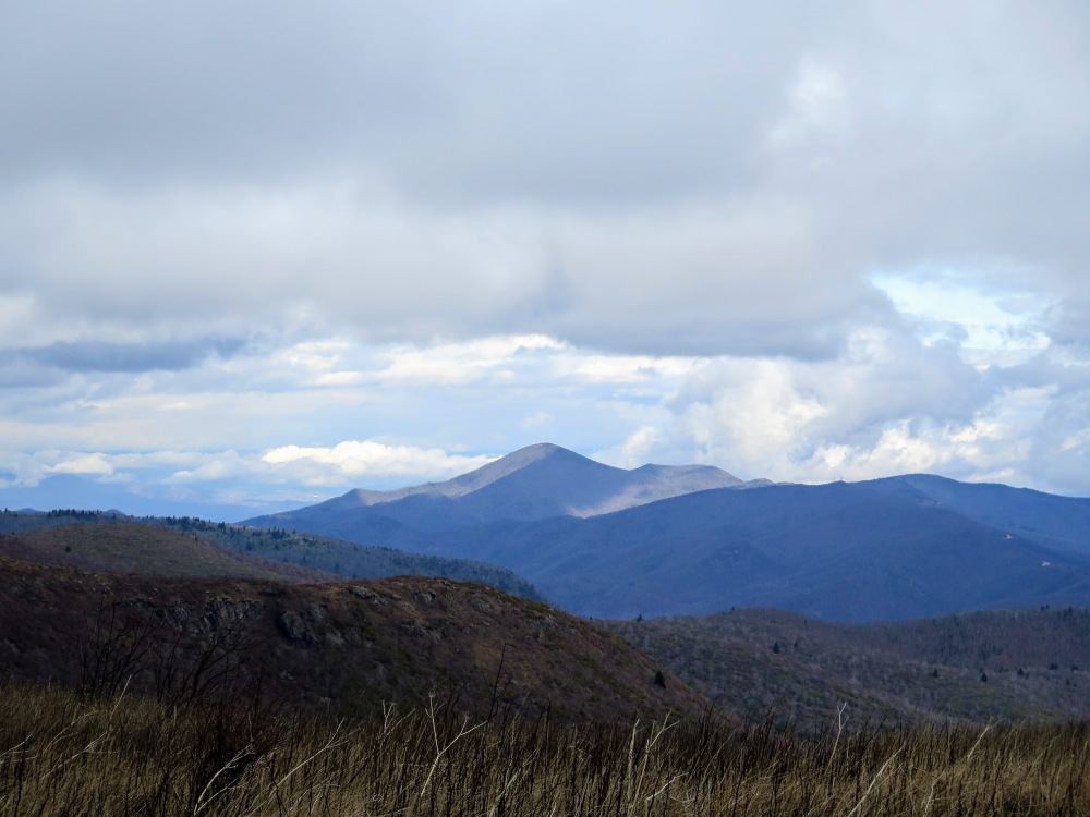
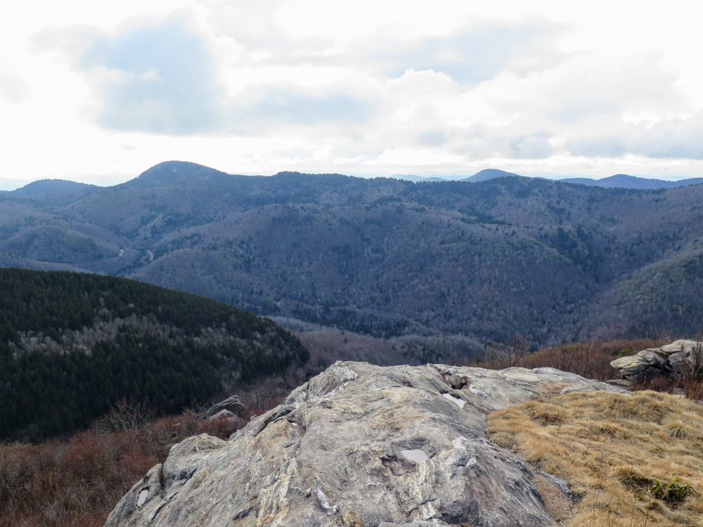
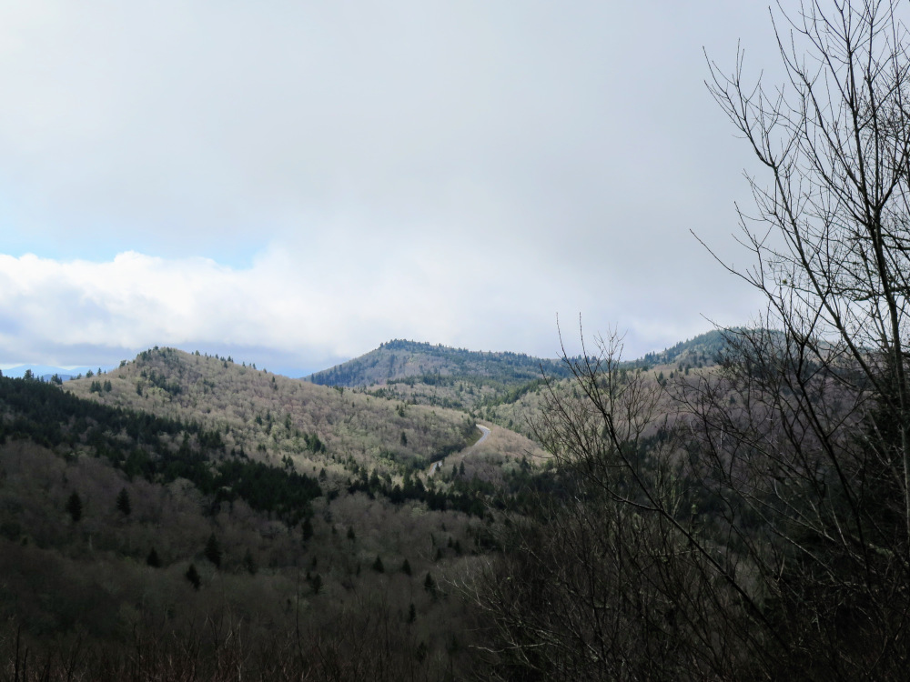
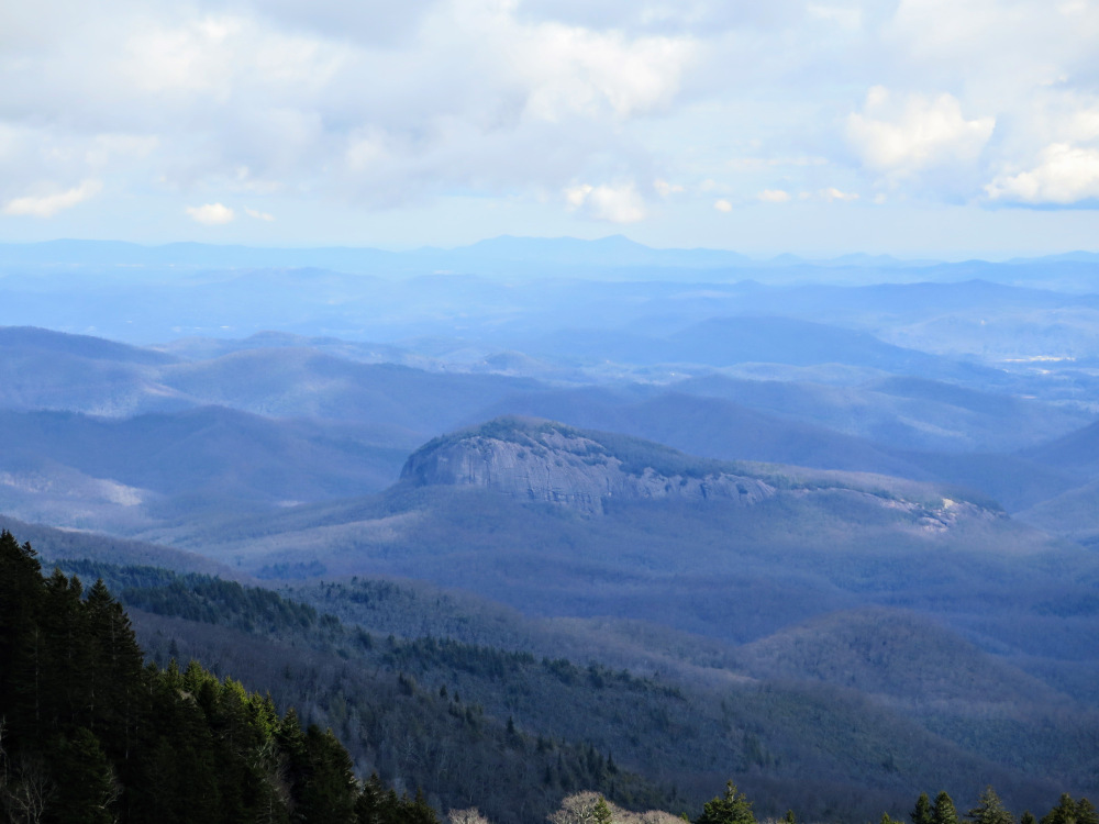
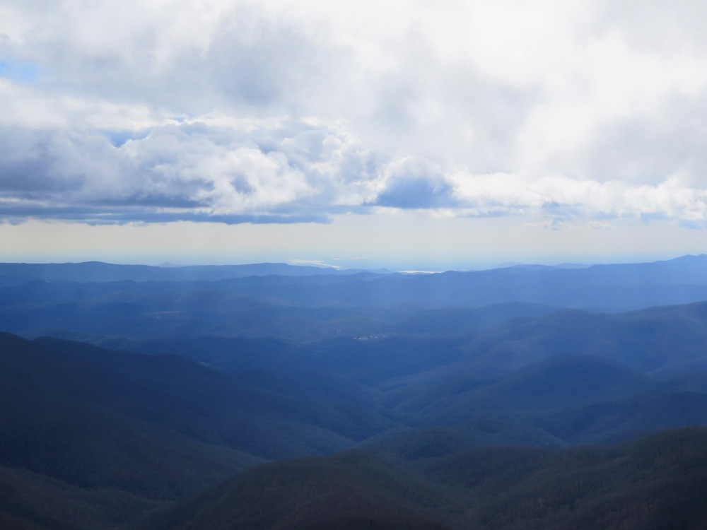
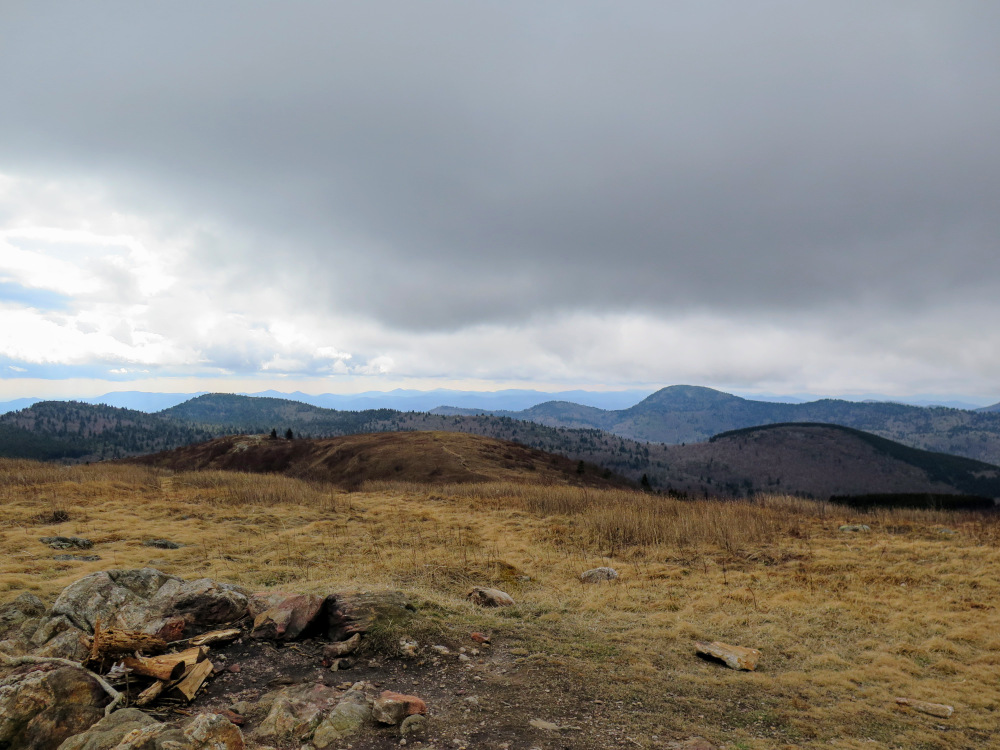
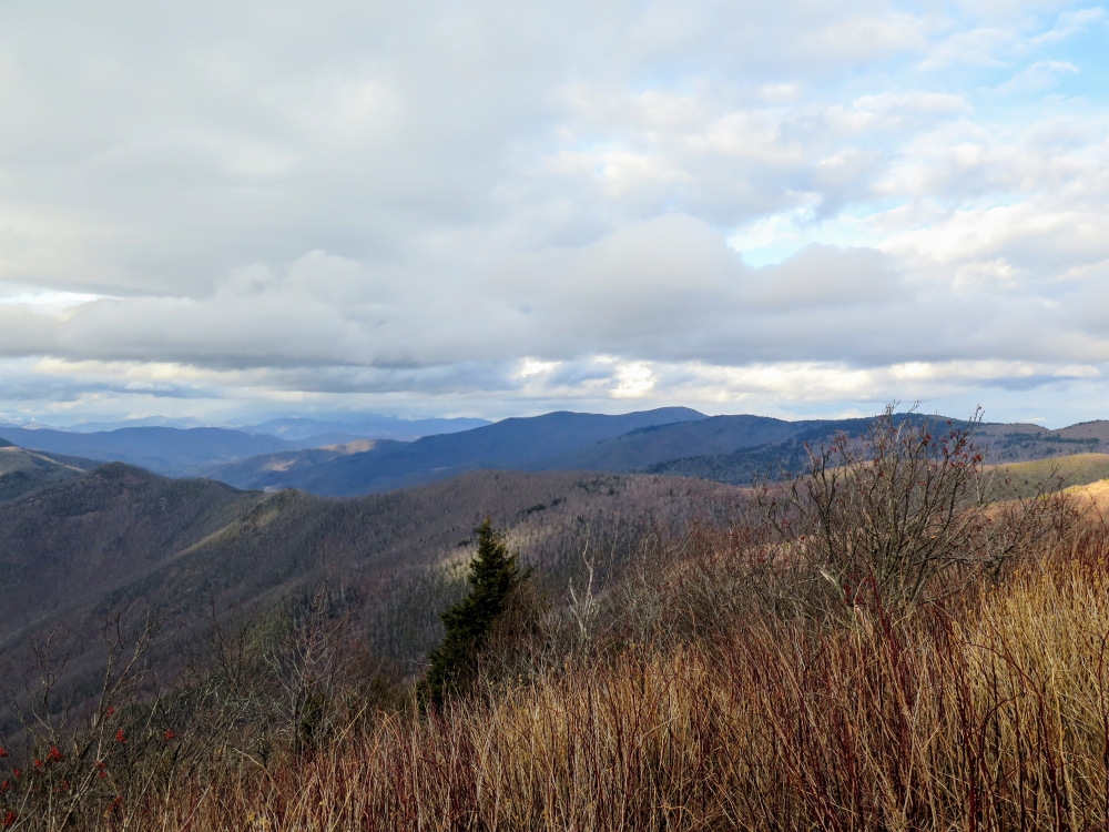
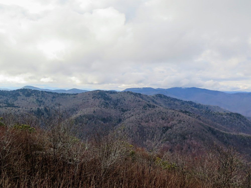
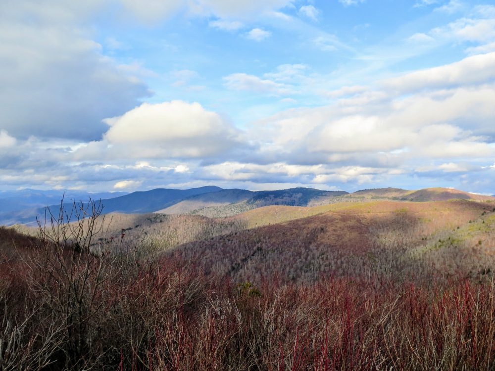
Mile 2.2 – Reach the overlook on Devil’s Courthouse (5,720 feet) with outstanding 270° views north, west, and south. Immediately north Little Sam Knob and Sam Knob rise above the Blue Ridge Parkway. To the northwest Mt. Hardy is the tallest peak above Fork Ridge and Rough Butt Bald. The land drops away to the west and south from the height of the Great Balsam Mountains. West and southwest are the distant peaks of the range around Panthertown Valley, with some of the tall peaks in Georgia beyond. Pilot Mountain is the prominent peak to the south, with the Blue Ridge Escarpment and Lake Jocassee visible in South Carolina.
Mile 2.6 – Back at the T-junction with the MST keep right heading northeast.
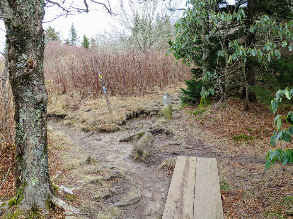
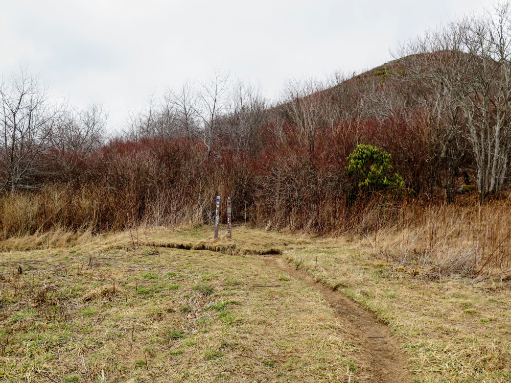
Mile 2.8 – Stay right on the MST at a Y-junction with the Little Sam Trail [347] (yellow blaze). (You can take the Little Sam Trail here to make a shorter loop.)
Mile 4.9 – MST and ALT cross FR 816/Black Balsam Knob Road. Immediately after the crossing the MST turns right. Continue straight on the Art Loeb Trail.
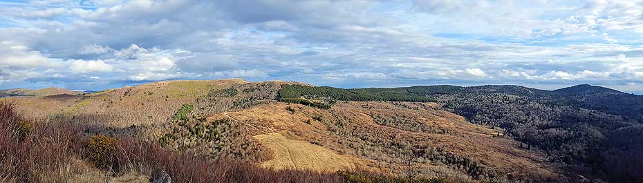
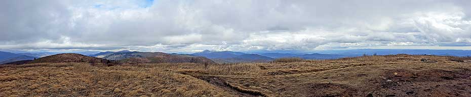
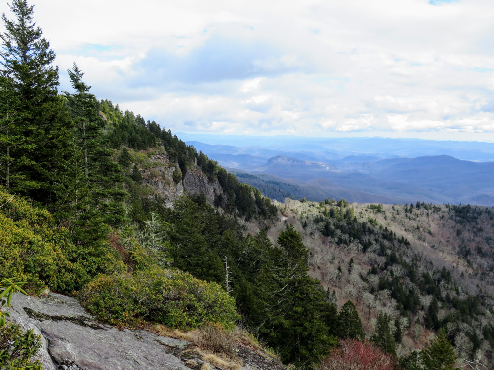
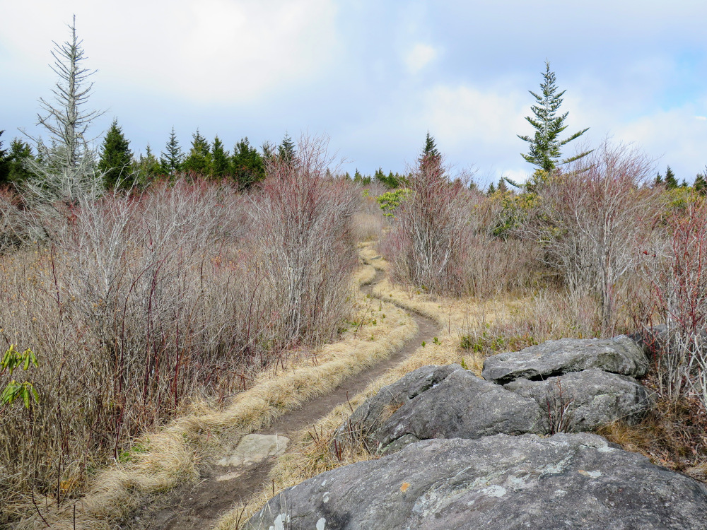
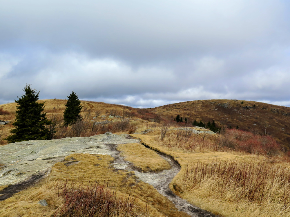
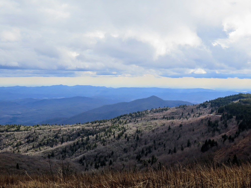
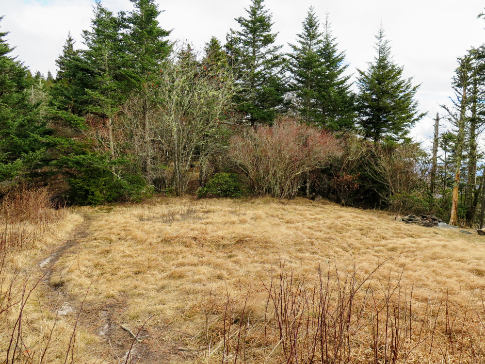
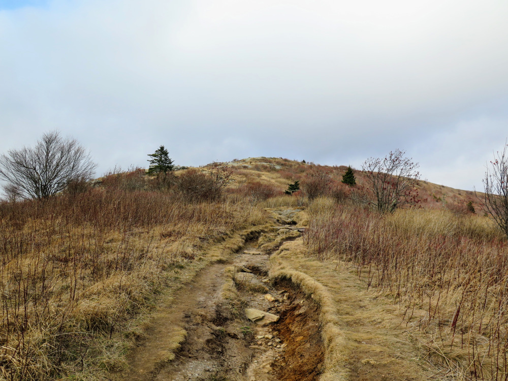
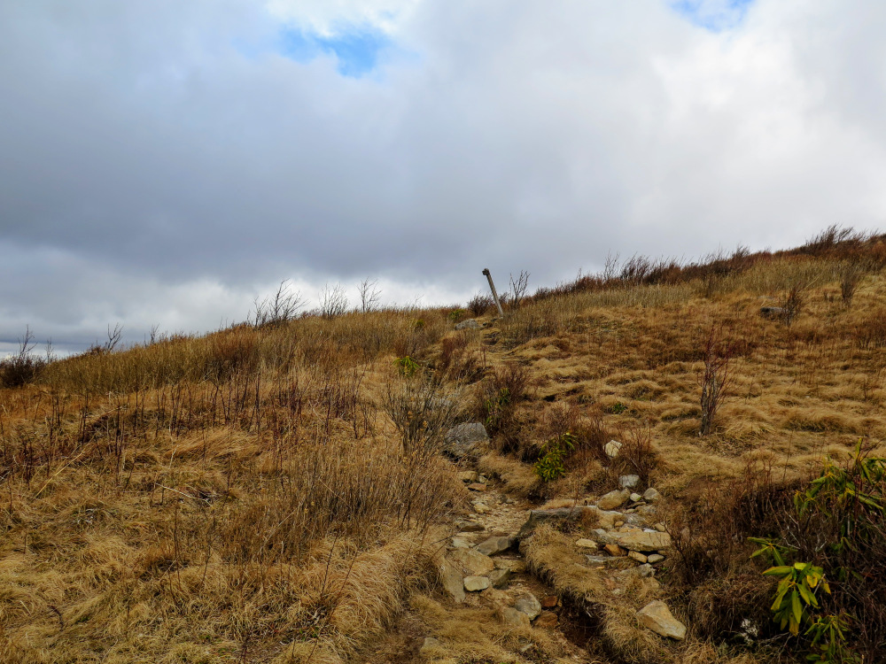
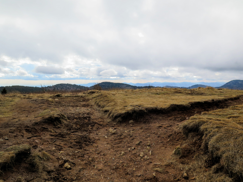
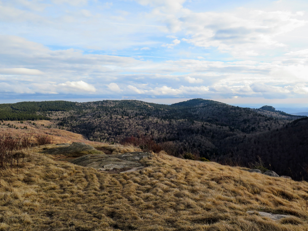
Mile 5.1 – The trail leaves the forest behind ascending grassy balds towards Black Balsam Knob with spectacular views.
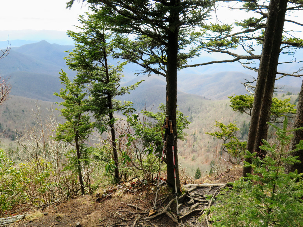
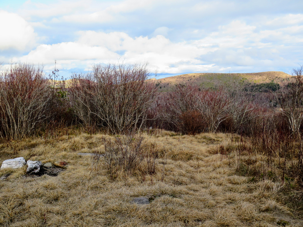
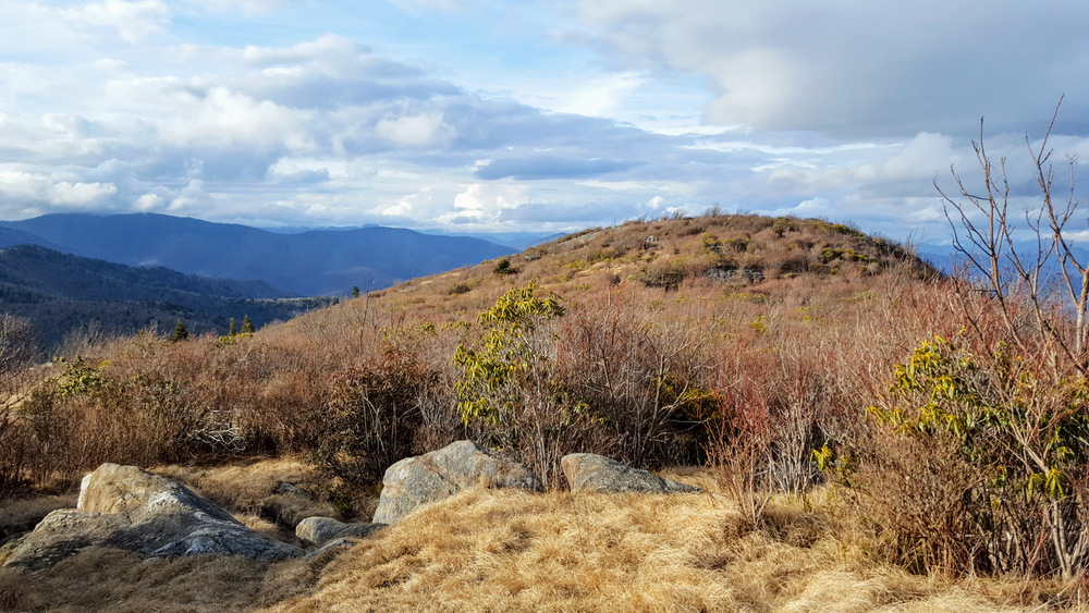
Mile 5.3 – At the top of a false summit pass a T-junction with the Art Loeb Spur Trail [108] (no blaze) on the left.
Mile 5.5 – Just below the true summit the Art Loeb Trail turns left at a Y-junction bypassing the summit. Continue right towards the top.
After you are done enjoying the views turn around heading back down the mountain. If you have time feel free to continue north towards Tennent Mountain on the Art Loeb Trail. You can use the Ivestor Gap Trail to make a loop to the Black Balsam Rd parking lot.
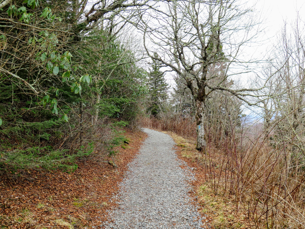
Mile 6.5 – The connector trail ends at the Black Balsam Knob Rd parking lot. Begin the Sam Knob Trail [617] (blue blaze) on the right near the pit toilets. The trail has seen recent trail maintenance and is a wide gravel path.
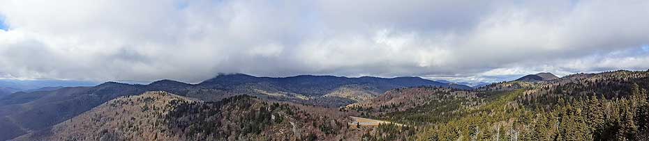
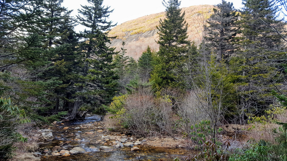
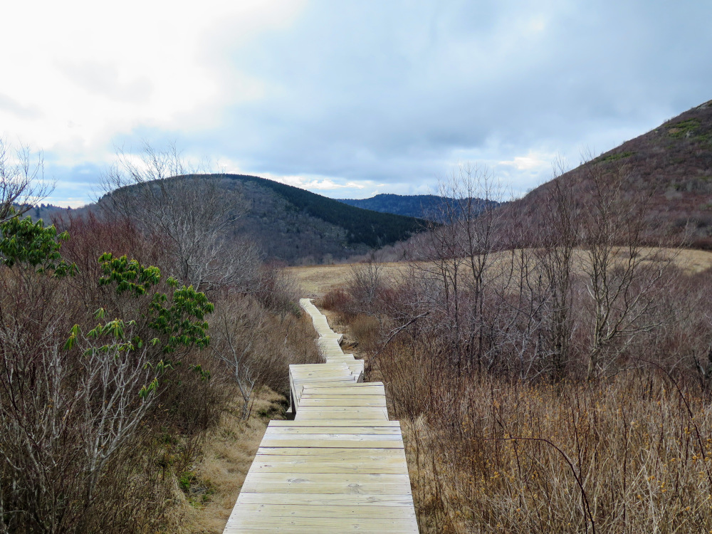
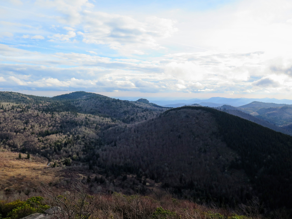
Mile 7.5 – The trail emerges from the forest offering views of the Flat Laurel Creek Valley.
Mile 7.7 – At a saddle between the north and south peaks of Sam Knob turn left. There are multiple usage paths along the ridge to each summit and to many campsites protected by shrubs. You can take your pick which direction to head first, but be sure to check out both summits.
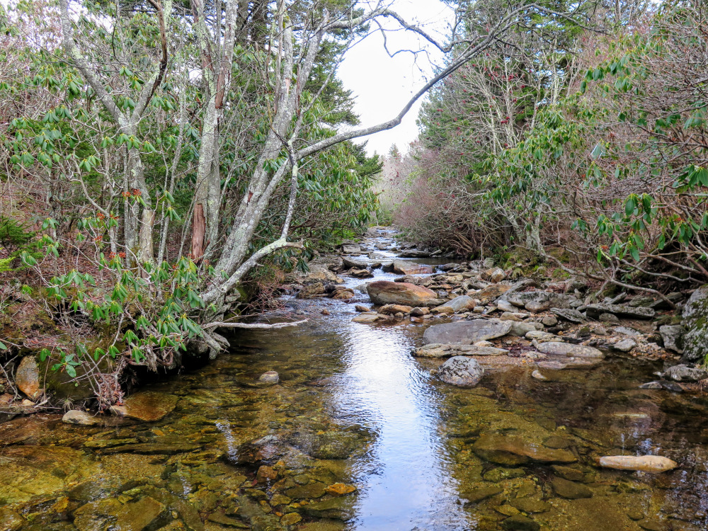
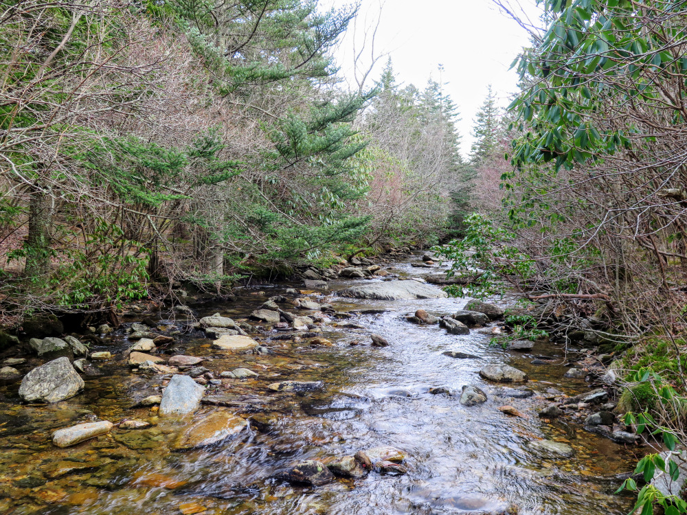
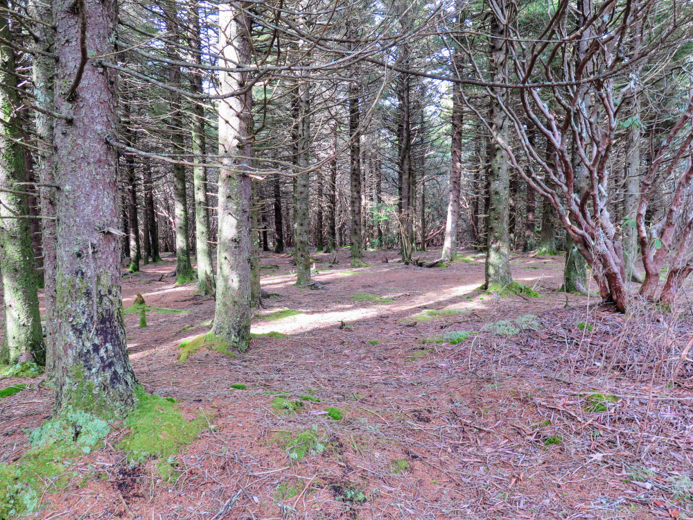
Mile 9.5 – Wooded campsites on the right side of the trail beside Flat Laurel Creek.
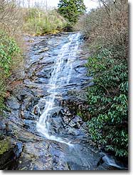
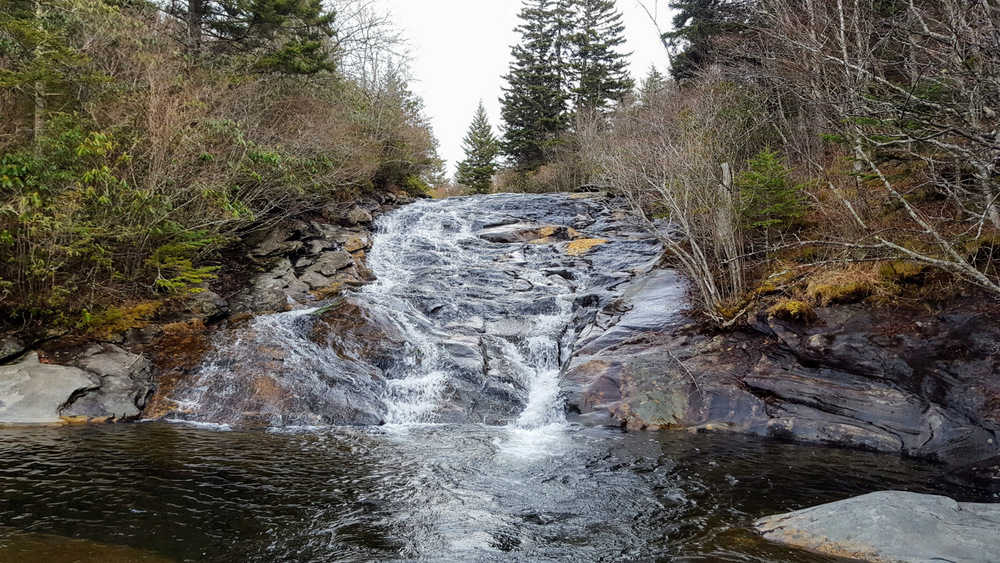
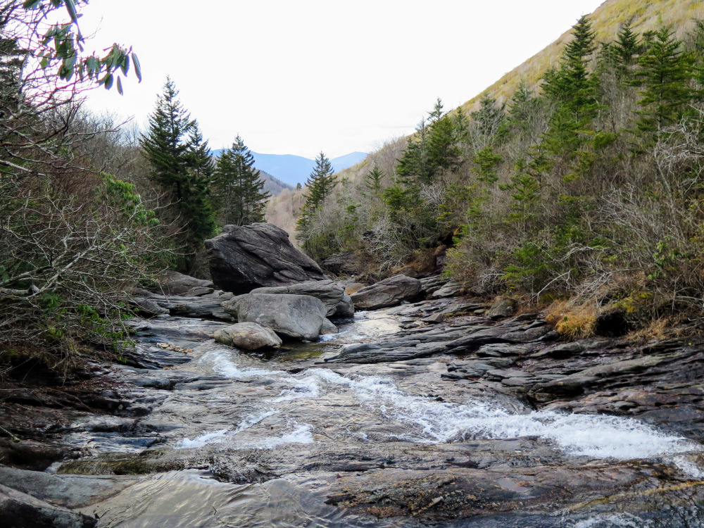
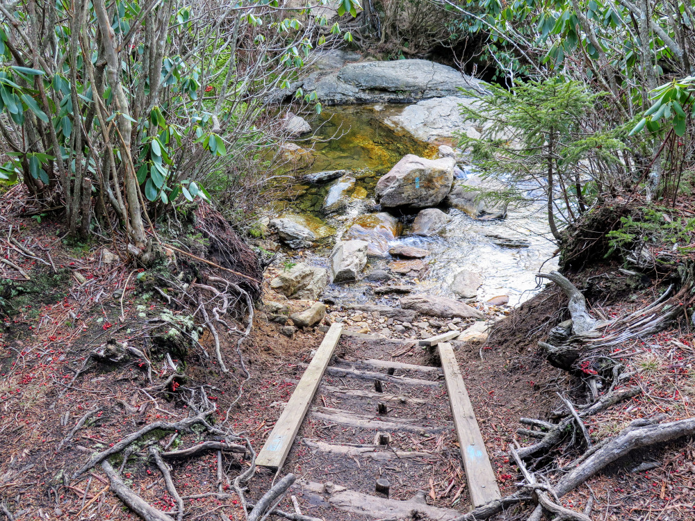
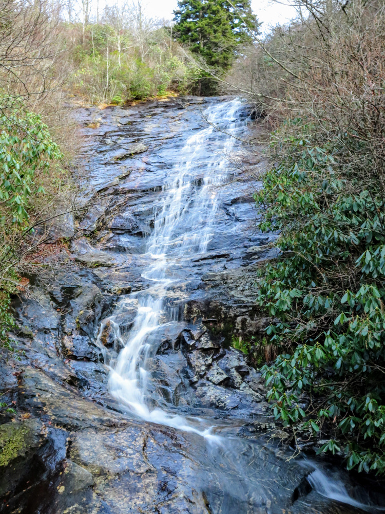
Mile 9.6 – The first of many waterfalls on Flat Laurel Creek. Only the top two cascades are accessible from the trail. Flat Laurel Creek drops nearly 800 feet over many waterfalls from this valley, but seeing this requires a serious bushwhacking expedition beyond this point.
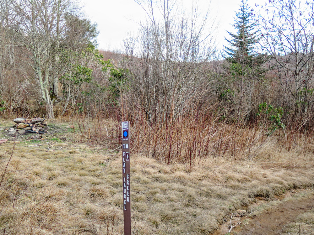
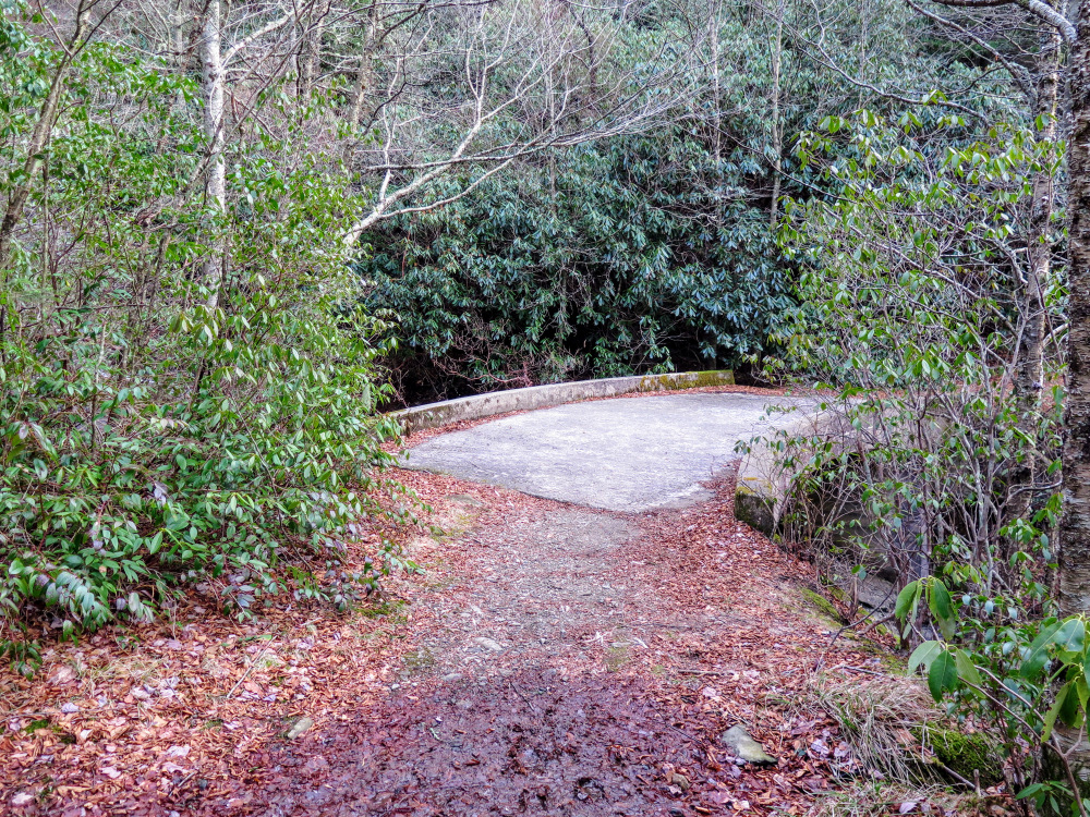
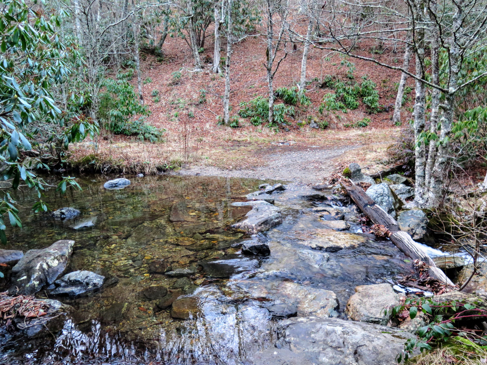
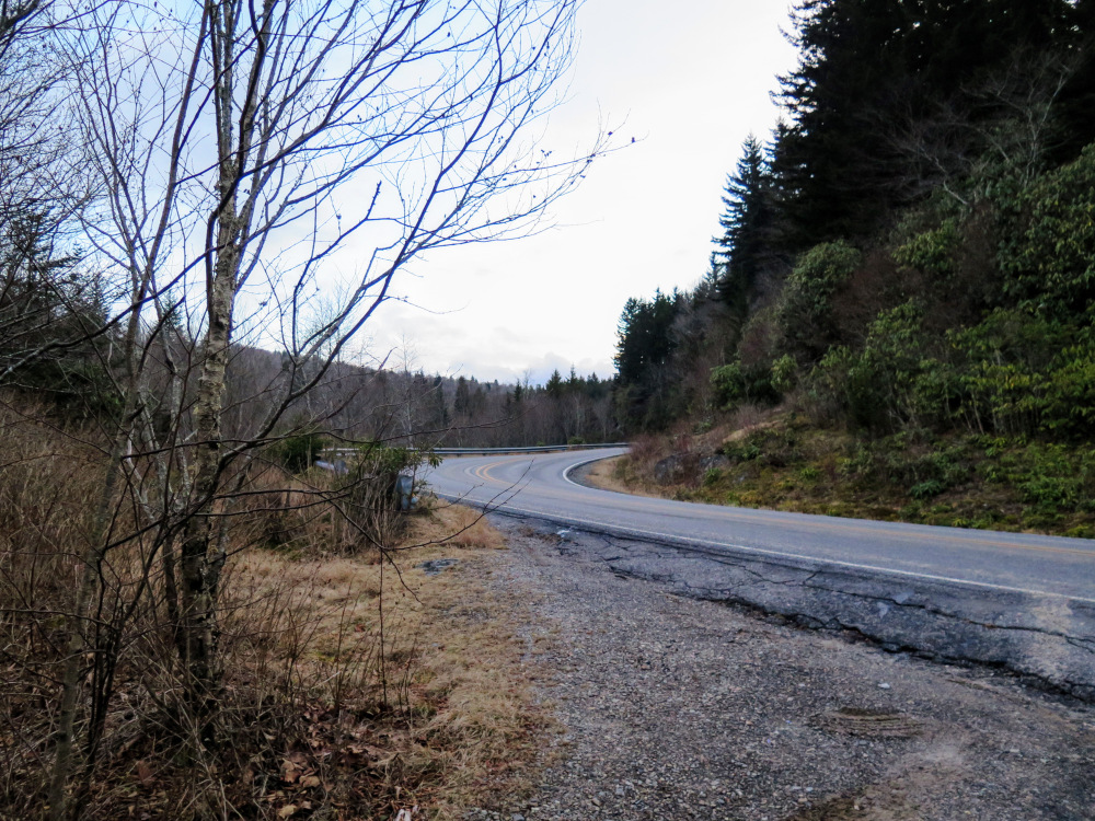
Mile 11.7 – Flat Laurel Creek Trail ends at a parking area beside N.C. 215. Turn left on N.C. 215 heading south towards the Mountains-to-Sea Trail. N.C. 215 is narrow and curvy, be wary and stay on the shoulder.
Mile 12.1 – Hike ends at the MST parking area.
Mid January
Video
Devils Courthouse/Sam Knob Hike Comments
Archived Comments
By:Domdom
Rating:
Date of Hike: Monday, November 25, 2019
the hike was absolutely breathtaking. The plants were some of the prettiest I've ever seen. I would give it a 5 but the trails are SOOO unmarked and unrecognizable that we ended up getting lost several times and couldn't make it to the 360 view. We will be returning to try again but gonna start early early in the morning or make it a camping trip.
By:airstreamdog
Rating:
Date of Hike: Tuesday, September 18, 2018
Really enjoyed this hike! We hiked with our dog on a Tuesday and didn't see other hikers anywhere except Black Balsam and Sam Knob, but even they weren't too crazy. It took us a few passes to figure out the parking situation--it's easier to see the MST marker on the left when you're going back up the hill toward the BRP. Much of the trail was full of water, but Florence just came through. Great mix of shady forest and open vistas, with not too much elevation change, and a couple lovely waterfalls thrown in. Beware that the trails on the balds are not marked and crisscross all over the place, so you may (like us) get frustrated trying to find your way--especially when leaving Black Balsam to go to the Sam Knob parking lot. It took us forever to find the spur trail. We had to try several narrow side paths before stumbling upon the correct trail. One thing to clarify on the trail notes, in case you are overly paranoid from navigation troubles on the balds like we were--the T-junction referenced at mile 8.8 is the one at the base of the bald where you picked up the summit trail at mile 7.1.
By:Zachary Robbins
Rating:
Date of Hike: Saturday, October 14, 2017
A week ago I did approximately 2/3 of this hike on the eastern side, doing a loop starting at Black Balsam Knob Rd. The traffic was bad leading up to the parking area, and almost every spot was taken. I hit the cliffs along Silvermine Bald and Chestnut Bald, then shortened the loop by taking the Little Sam Trail skipping Devils Courthouse. The first 2 hours of this hike were relatively quiet, I only passed a few hikers. Everyone seems to hike up to Black Balsam Knob. Next I hiked up to Sam Knob and had lunch. Both peaks are spectacular and the fall color was pretty good. There were not many people up there, which was surprising. The Sam Knob parking area was swamped, probably 10+ buses, and no room for a single car. Black Balsam Knob was crowded, at least 50 people up top at any one point. This was my 3rd time hiking these peaks this year, and I like Sam Knob a lot better. I highly recommend doing this hike from NC 215, where I started was much more crowded and not open in the winter.


