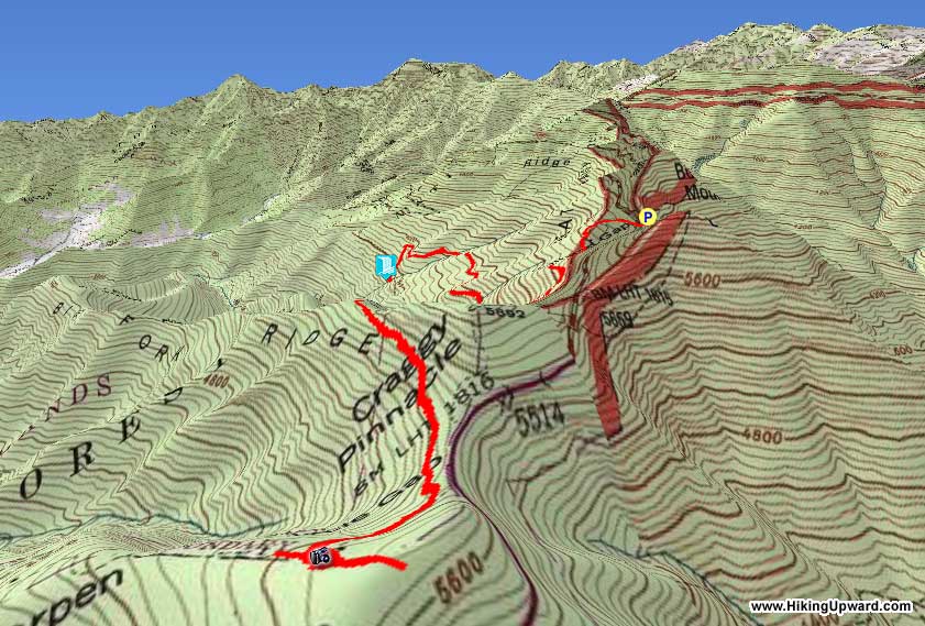
This is a multi-faceted hike featuring a stunning waterfall, mile-high forests, and heath bald views in the Craggy Gardens and Big Ivy area of North Carolina. The two highlights of this hike, Douglas Falls and Craggy Gardens, typically see a lot of foot traffic when the Blue Ridge Parkway is open. If you are hankering for a longer hike, you can avoid the crowds most of the day by doing this difficult out-and-back T-hike from the Graybeard Mountain Overlook. Follow the Mountains-to-Sea Trail southwest to pick up the Douglas Falls Trail, which drops over 1,000 feet into the Waterfall Creek watershed. Douglas Falls is located on a small tributary, but you will be dumbstruck by the massive 70-foot wall of rock. You won’t find many overhanging waterfalls like this in North Carolina. Unfortunately, once you go down, you must go back up to the mile-high elevations of the Craggy Gardens area. The MST winds around Craggy Pinnacle and passes through Craggy Flats, an incredible grassy/heath bald mix with 360° views and dense clusters of Catawba rhododendron and mountain laurel. This is one of the premier areas in North Carolina for Catawba rhododendron flower blooms (in addition to the Roan Highlands) during the month of June. From Craggy Flats you’ll have to turn around and hike 3 miles back to your car. For the more adventurous hikers there is an optional peakbagging side trip to Craggy Dome, which rises 500 feet above the Graybeard Mountain Overlook and is the highest peak in the Great Craggy Mountains.
Mile Summary and Highlights
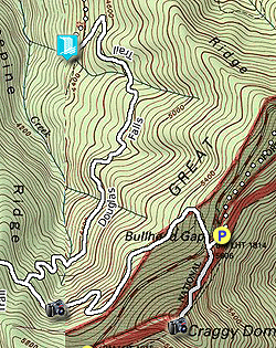
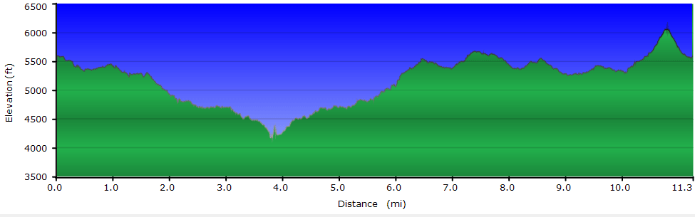
0.0 - Mountains-to-Sea Trail west from Graybeard Mountain Overlook 1.6 - Turn onto Douglas Falls Trail 3.8 - Douglas Falls 6.1 - Mountains-to-Sea Trail south to Craggy Gardens 7.4 - Views from Craggy Gardens and Craggy Flats 10.8 - Craggy Dome summit (6,100 feet)
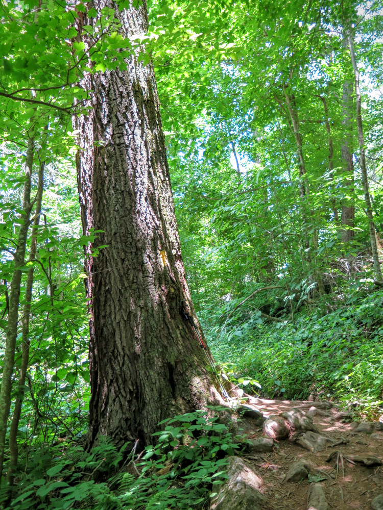
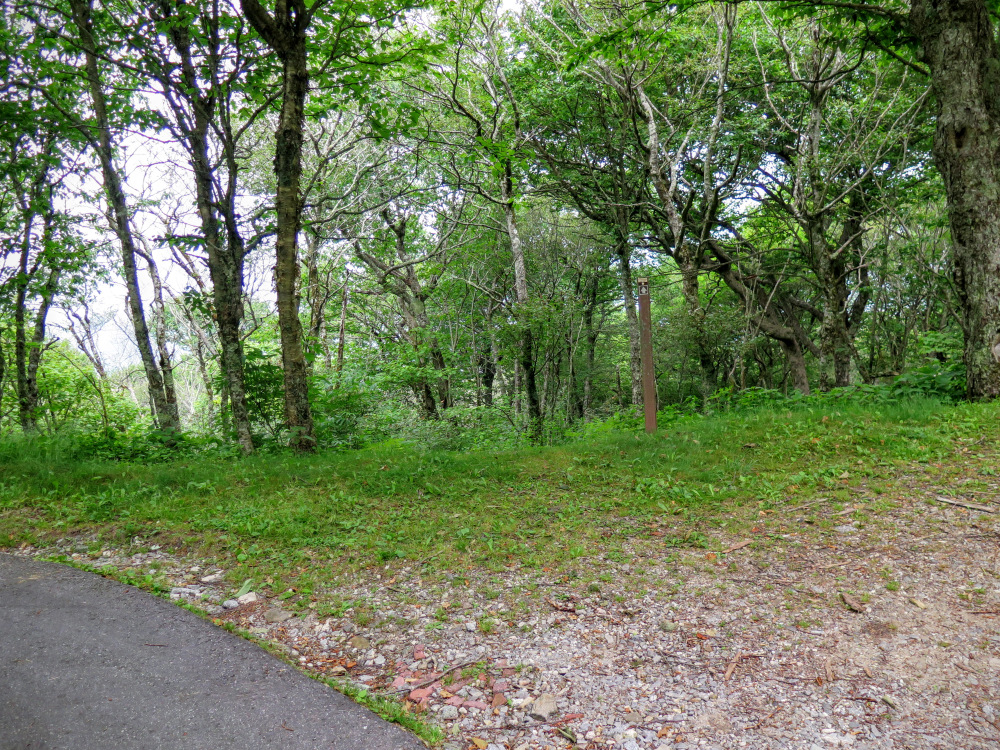
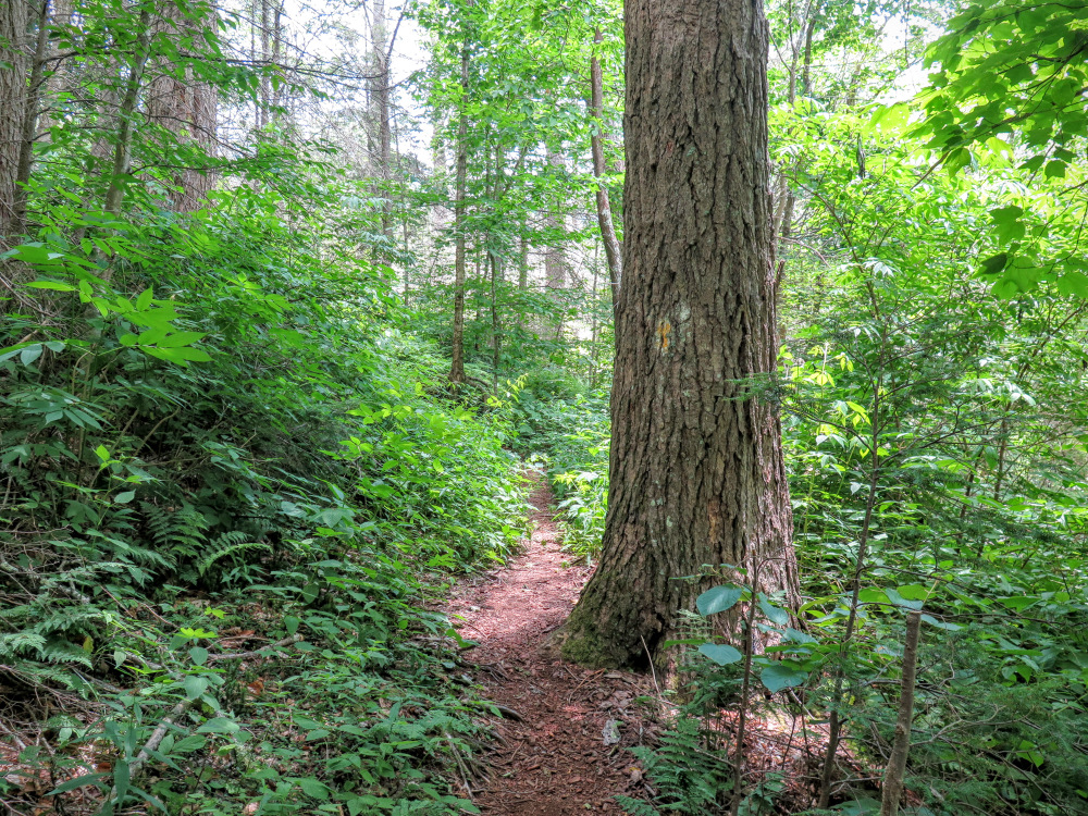
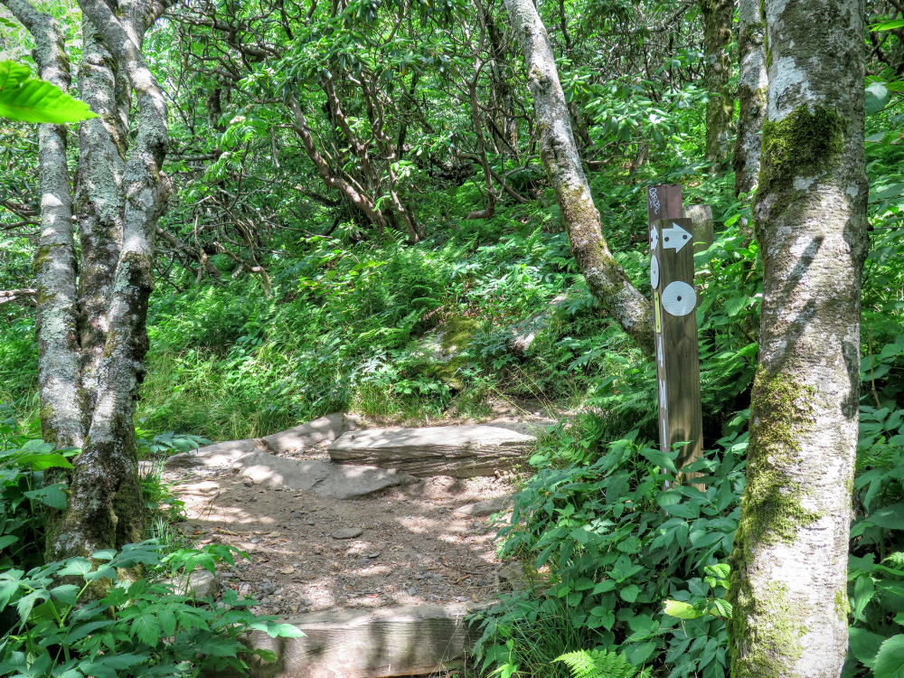
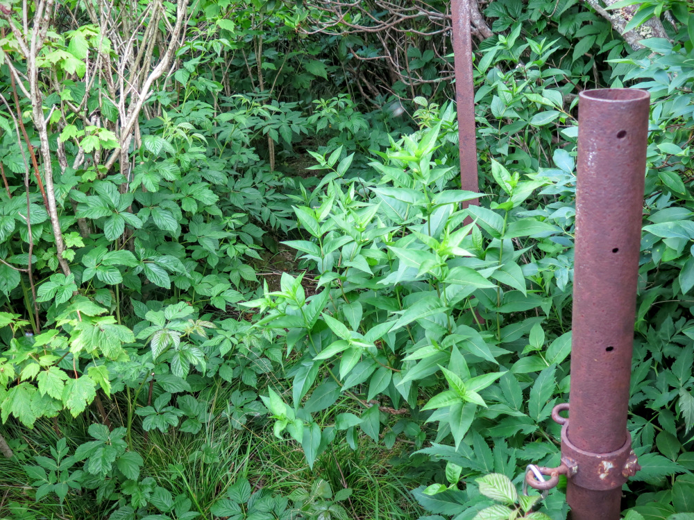
Mile 1.6 – Make a hard right at a Y-junction onto the Douglas Falls Trail [162] (white or yellow blaze). You’ll begin a series of 7 switchbacks down into the Waterfall Creek watershed.
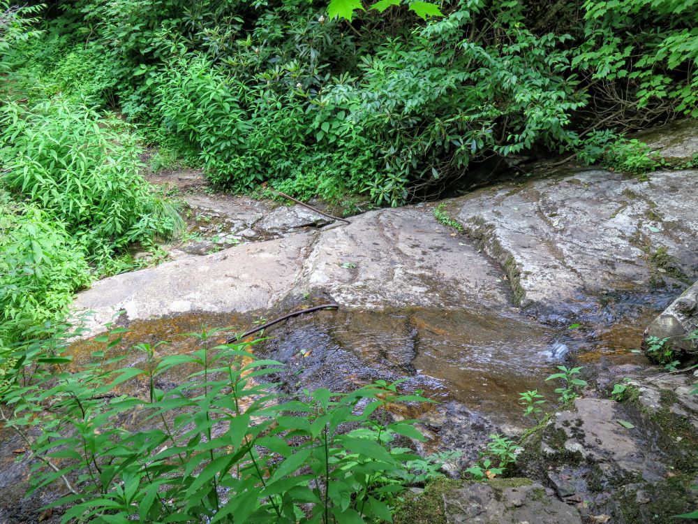
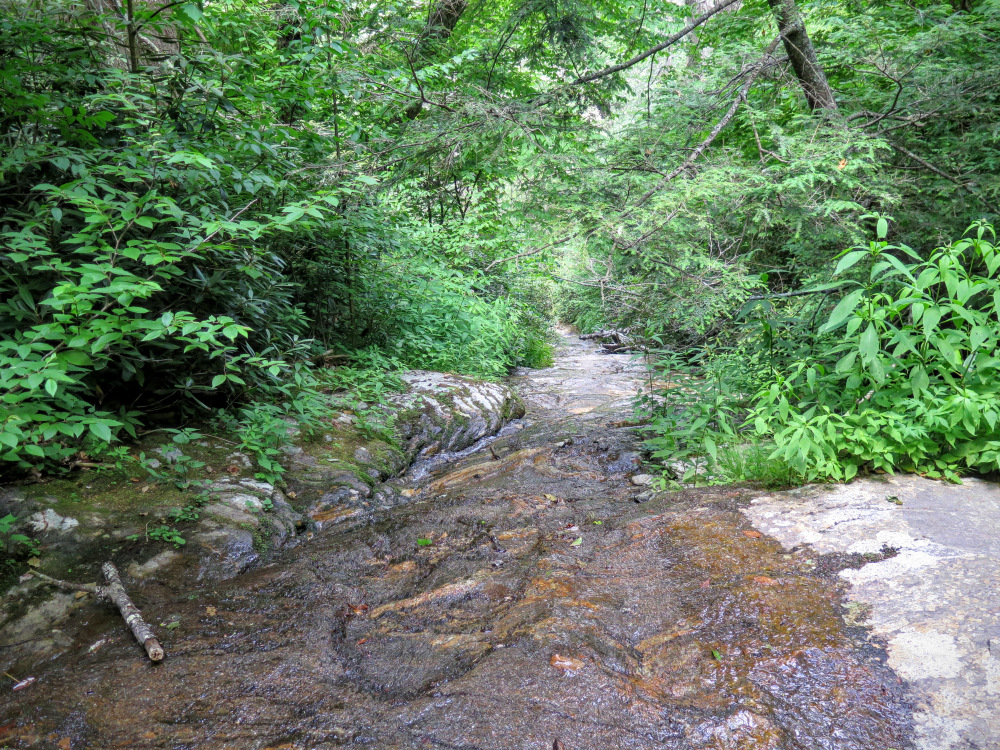
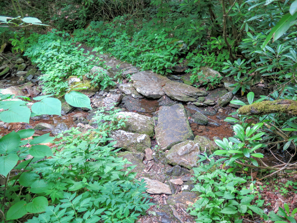
Mile 2.5 – Cross Waterfall Creek at the brink of Cascades Waterfall. This long slide waterfall is small in flow, but this crossing may be hazardous due to the smooth bedrock. It is not worth bushwhacking downstream to see these falls.
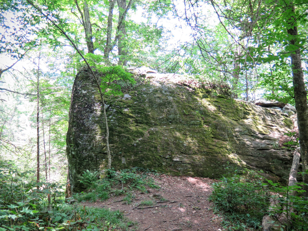
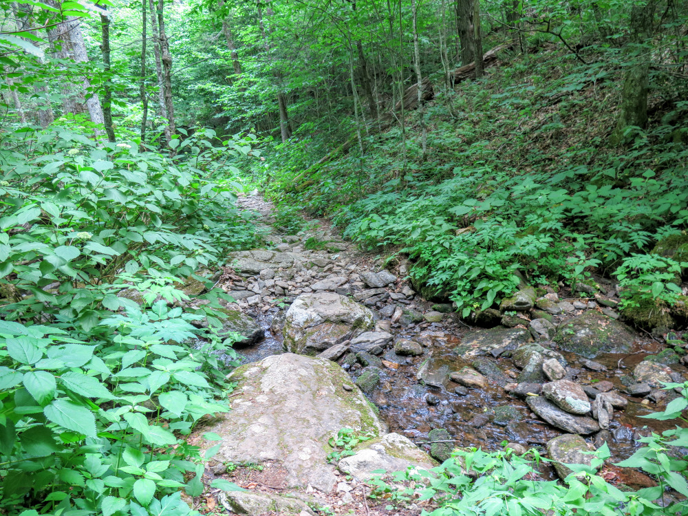
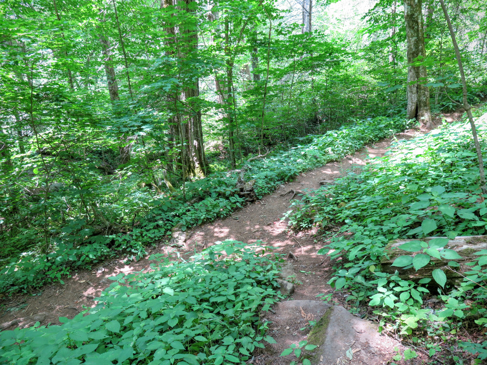
Mile 3.7 – The trail passes through campsites beside a massive boulder. The former trail continues straight down the slope and is not recommend. The newer trail is rerouted to the right switchbacking down the ravine. (The GPS track goes down the old trail but returns via the new switchback, please take the switchback trail down for your own safety.)
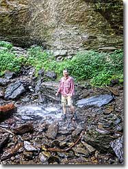
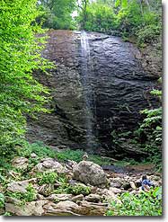
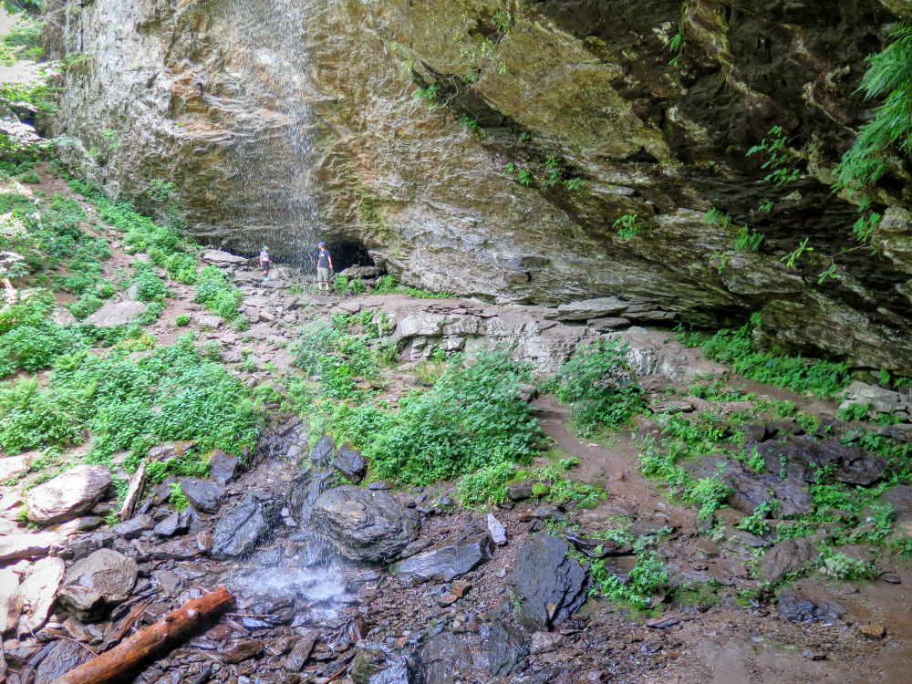
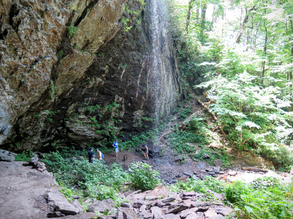
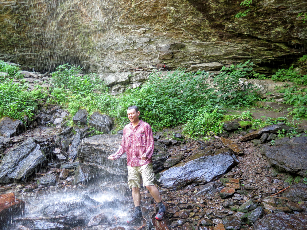
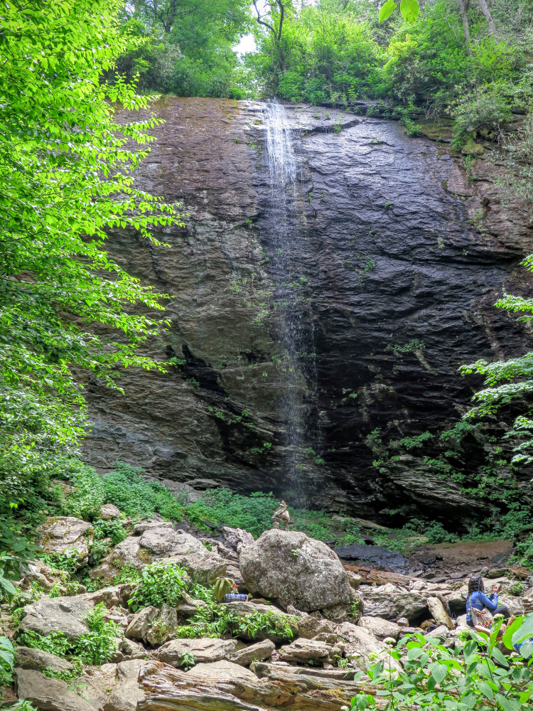
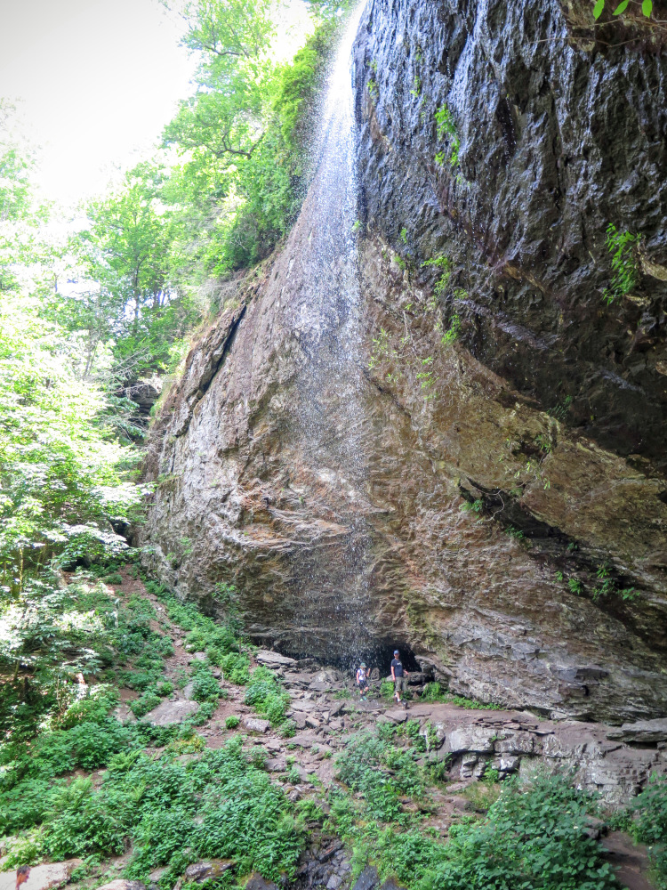
Mile 3.8 – At a T-junction the Douglas Falls Trail turns right leading to a parking area in 0.5-mi. You may be surprised how many people are down here as a result of its proximity to FR 74. Turn left towards the base of Douglas Falls. A massive, 70-foot rock wall greets you. The small tributary of Waterfall Creek freefalls over the ledge but is dwarfed by the surrounding cliffs. You can easily walk behind the waterfall, exploring all angles for photography. Even though there is no plunge pool for this small waterfall, on a hot day you can cool off standing directly under it! When you are ready to leave, please take the newer switchbacks up the hill avoiding the old trail.
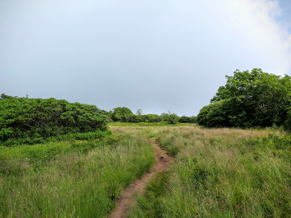
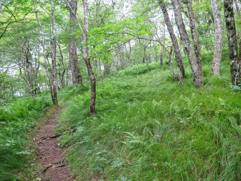
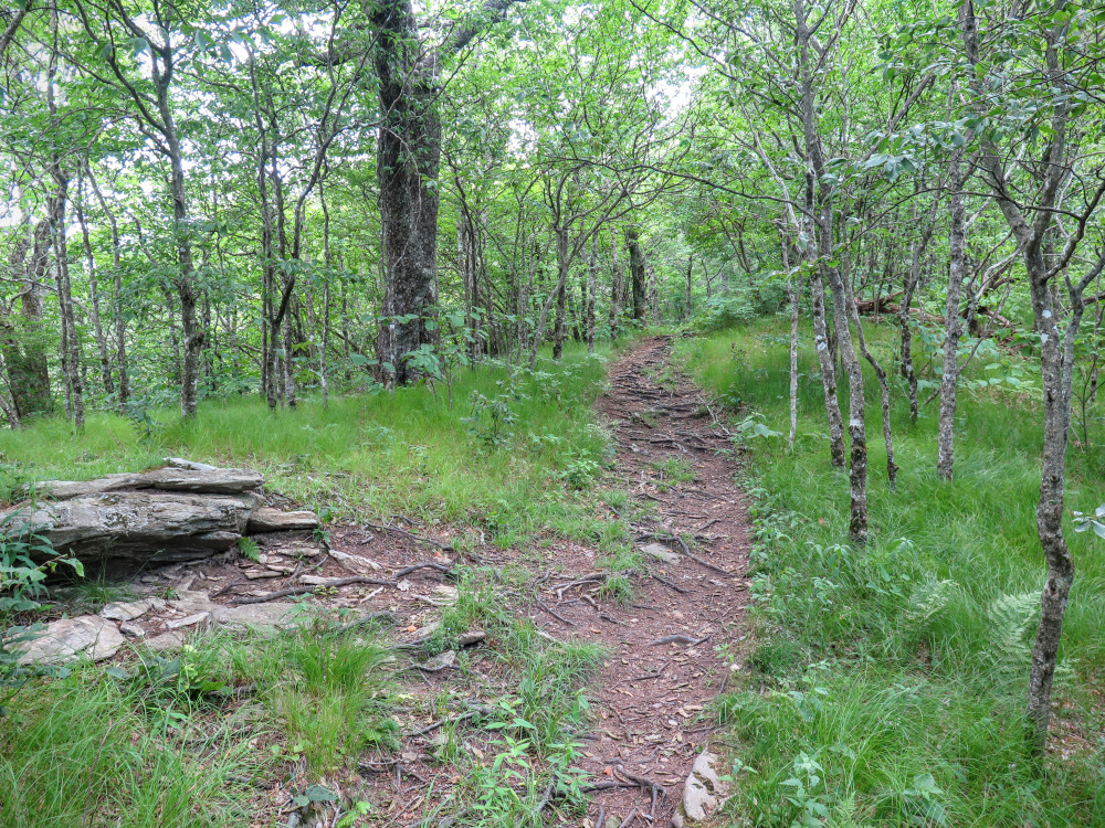
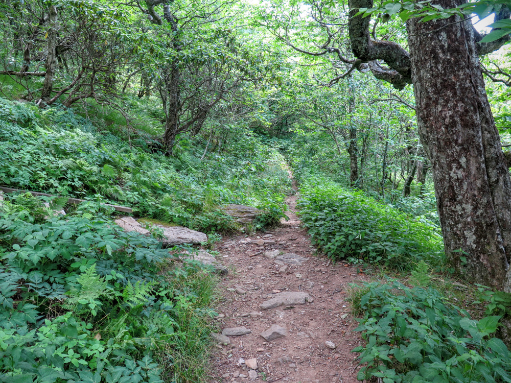
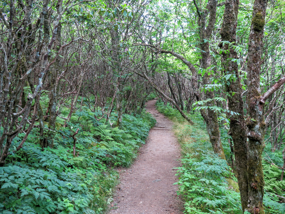
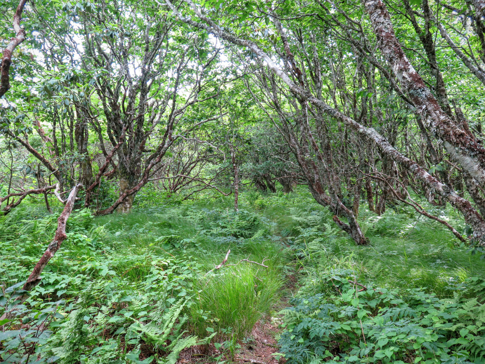
Mile 6.1 – Meet the Mountains-to-Sea Trail and turn right. This section of the MST is sometimes mistakenly shown in books and maps following the Douglas Falls Trail south towards the Craggy Gardens Visitors Center. However, the Douglas Falls Trail does not continue past this junction. You’ll pass through beautiful forests on the west side of Craggy Pinnacle as you climb above 5,400 feet.
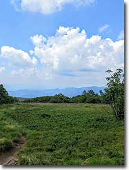
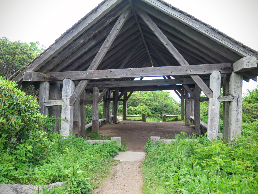
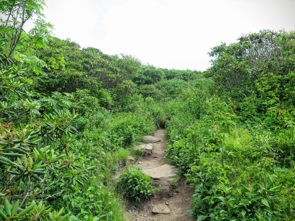
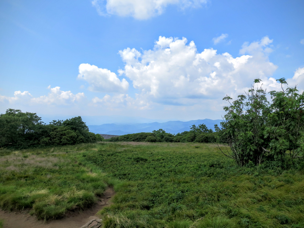
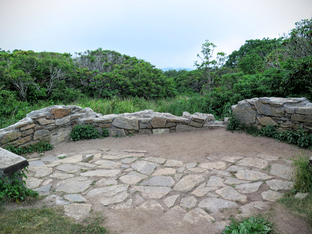
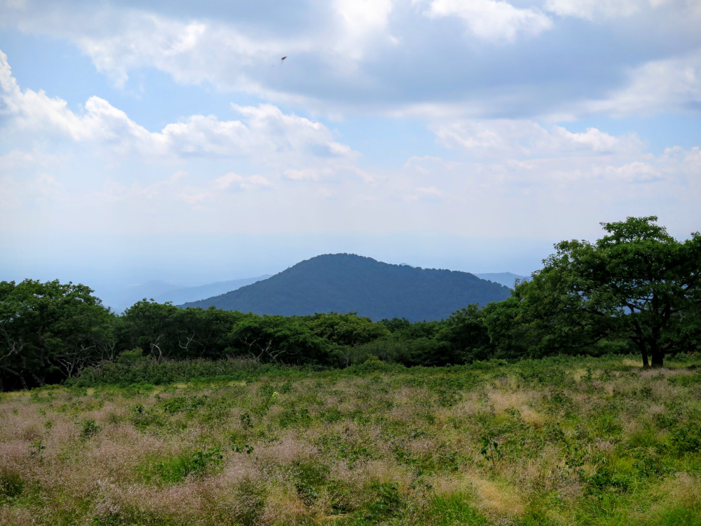
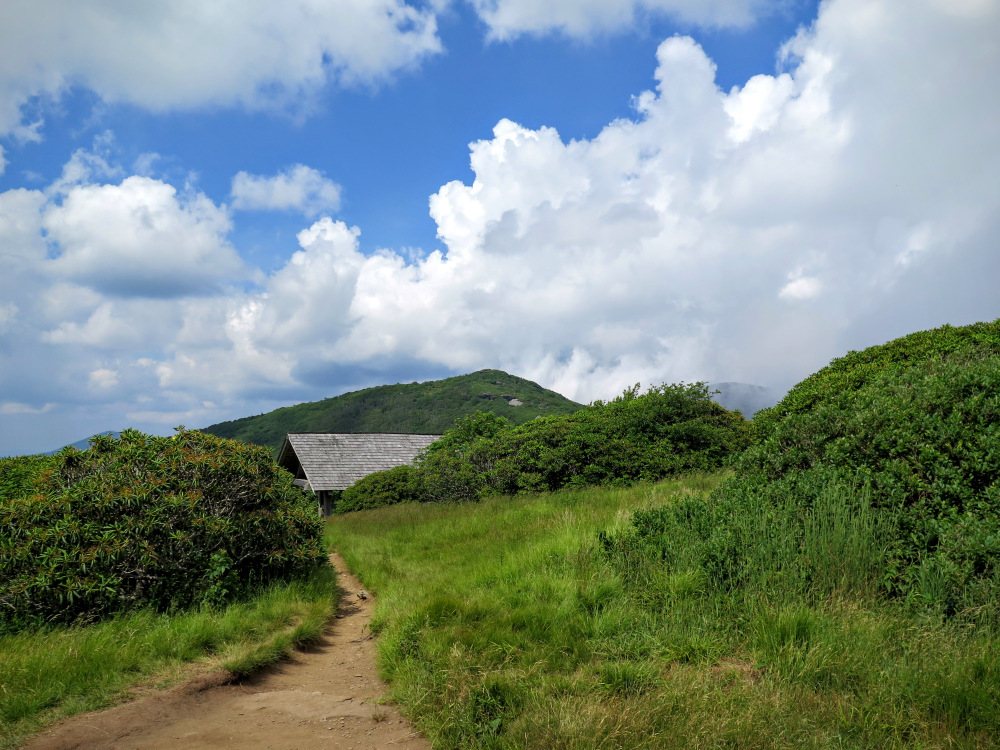
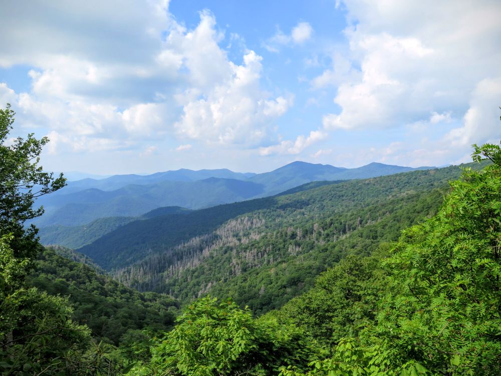
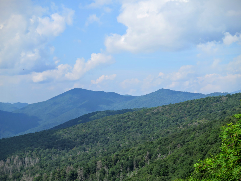
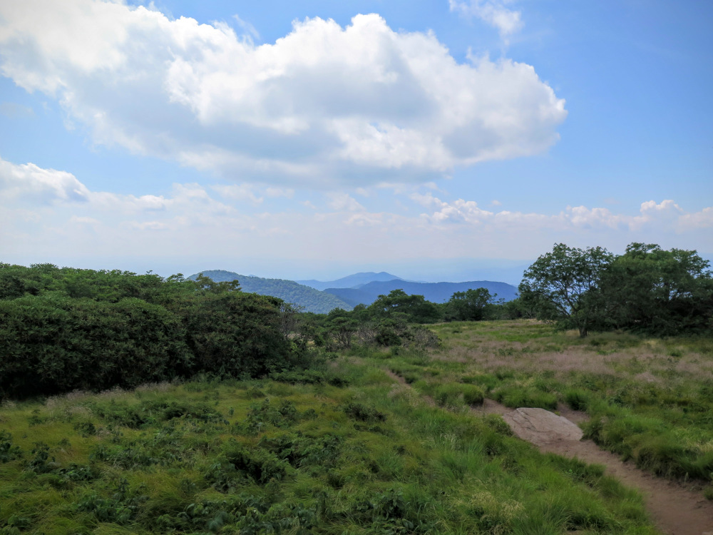
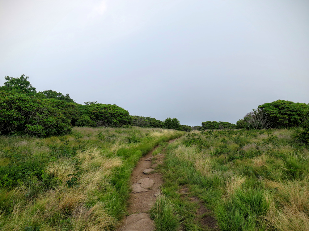
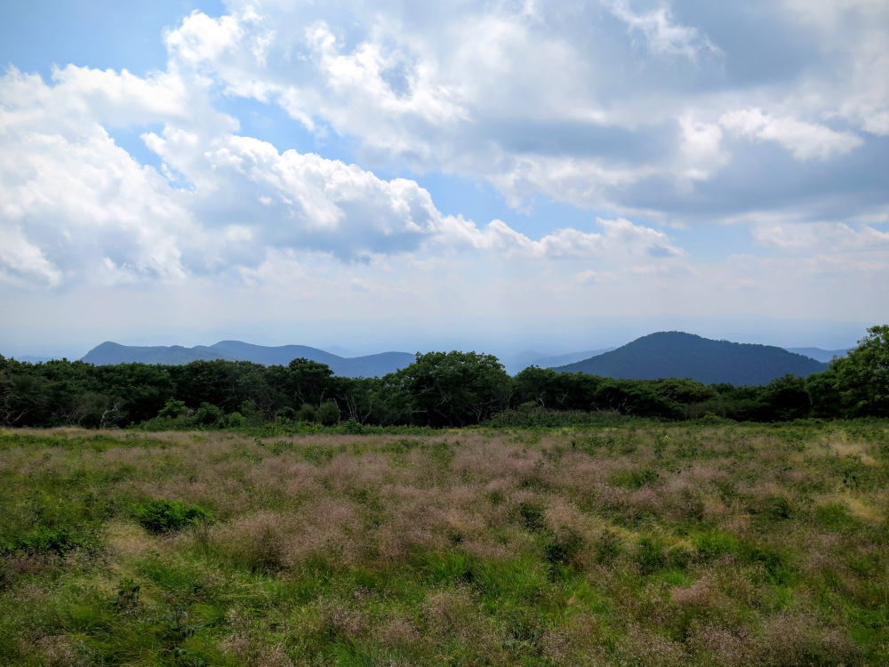
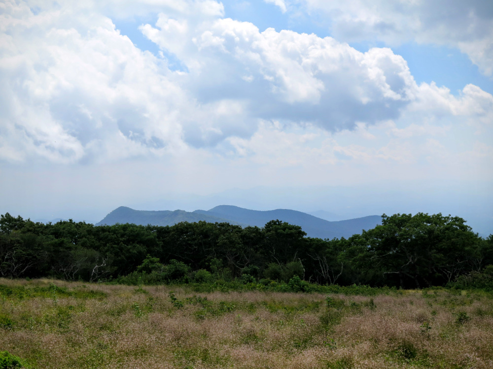
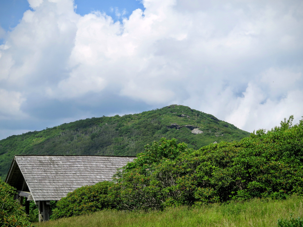
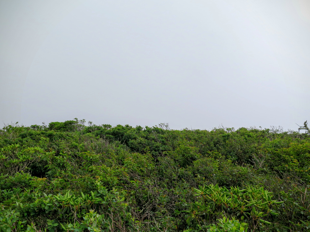
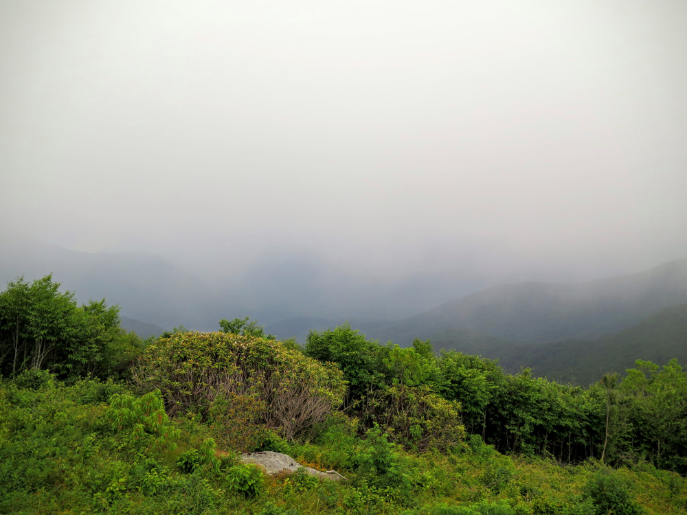
Mile 7.4 – Explore the myriad of views on the massive grassy/heath bald known as Craggy Flats. This is the flank of Craggy Knob, located further south amidst dense shrubs. The perimeter of the grassy bald on Craggy Flats is dotted with enormous clusters of mountain laurel and Catawba rhododendron. This is one of the best places to be in North Carolina during peak flower blooms in June. Views are limited to the south and east from a weathered stone deck. You’ll have great views west of the Great Craggy Mountains. The large, round peak on the right is Snowball Mountain. The rugged ridge on the left is the Bull Mountain massif, crowned by Lane Pinnacle. Craggy Pinnacle rises directly above the trail shelter towards the north. The immense round peak of Craggy Dome looms northeast of Craggy Pinnacle. Turn around and follow the MST north back towards the Graybeard Mountain Overlook.
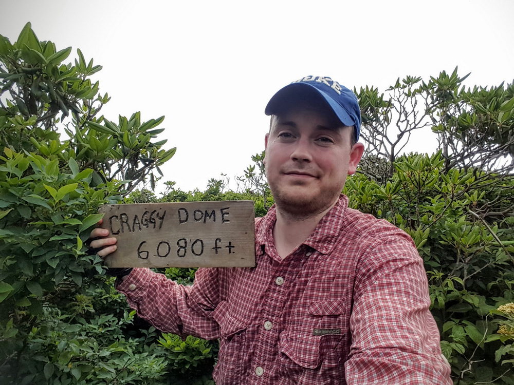
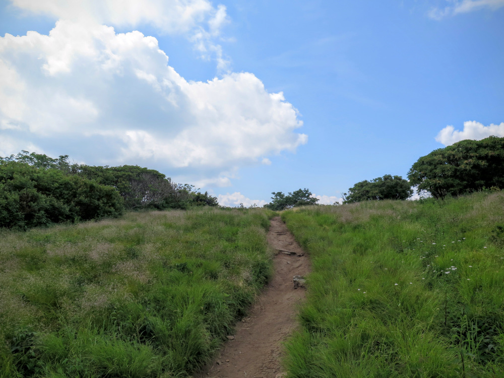
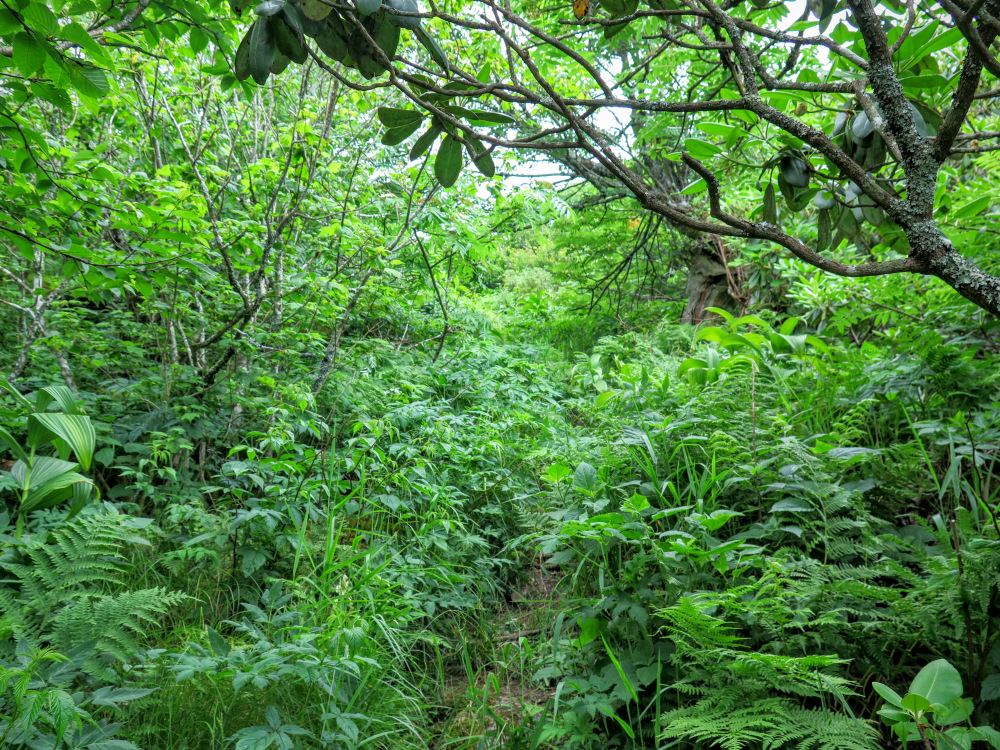
Mile 10.4 – After crossing the Blue Ridge Parkway, most hikers should turn left here and end the hike for a total of 10.5 miles. Optional side trip: peakbaggers and other adventurous hikers may want to summit Craggy Dome, which rises 500 feet above the parkway. When the MST turns left after crossing the parkway, look for a well-worn manway on the right. Initially the trail is mostly flat and heads due south along the crest of the ridge. As you get closer to the summit the manway becomes steeper, rockier, more eroded and overgrown, and trickier to follow. With decent trail awareness you shouldn’t worry about getting lost. This manway is used by hiking clubs and peakbaggers alike.
Mile 10.8 – The manway mostly disappears as it rounds the east side of the summit. To bag the highest point, you’ll have to push through ~100 feet of dense, chest-high mountain laurel. The summit high point is marked by old metal posts. You may even find a wooden trail sign somewhere around the posts. Congratulations, you are standing on top of Craggy Dome (6,100 feet), the highest peak in the Great Craggy Mountains and one of the 40 peaks on the South Beyond 6000 Challenge list. The summit of Craggy Dome is a dense heath bald. You may get some views if you can find some rocks to stand on. The mountain laurel are severely stunted from weather exposure. The sharp topped Craggy Pinnacle is located due southwest, with Craggy Gardens further south. Due north is Bullhead Mountain, with Point Misery and Big Butt in the distant north. The wide sloped Blackstock Knob is the dominant peak towards the northeast. Pinnacle and Graybeard Mountain are due east, rising high above the restricted Asheville Watershed for the Burnett Reservoir.
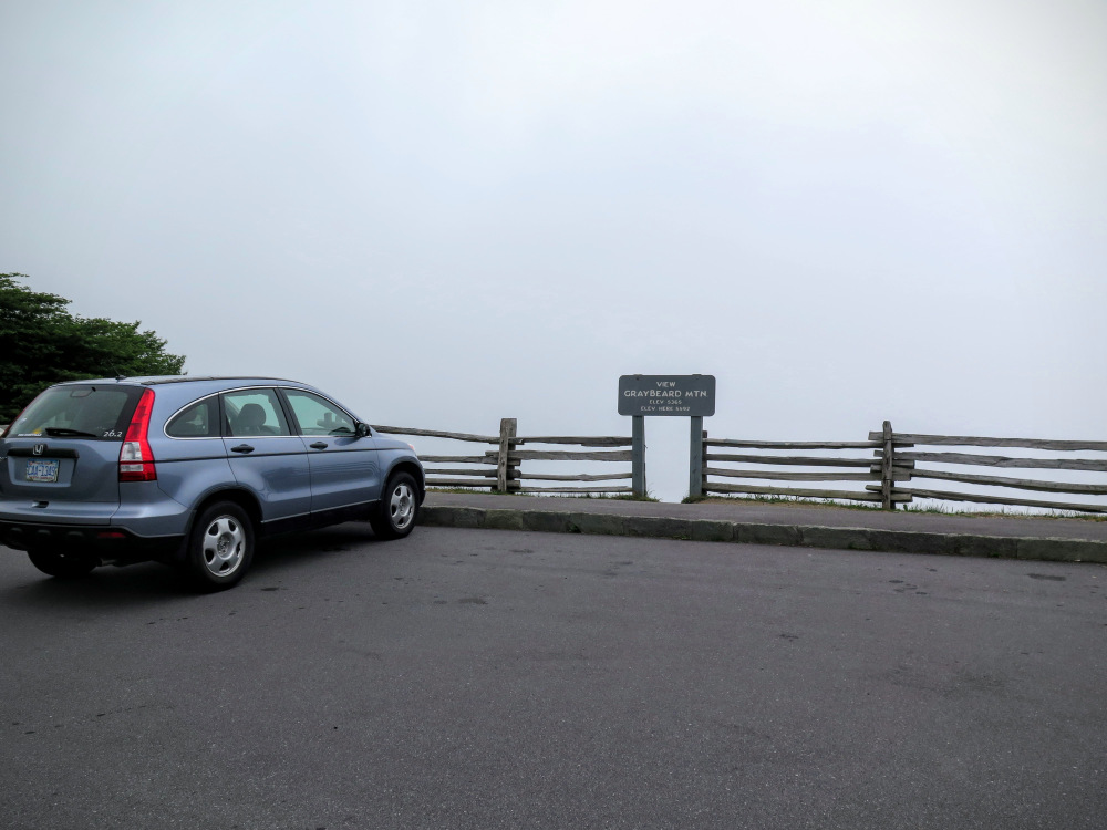
Mile 11.3 – Hike ends at the Graybeard Mountain Overlook.


![Mountains-to-Sea Trail [440] (white blaze) south](images/062618/IMG_2900.jpg)
![Y-junction onto the Douglas Falls Trail [162]](images/062618/IMG_2817.jpg)