
|
| Length |
Difficulty |
Streams |
Views |
Solitude |
Camping |
| 6.0 mls |
 |
N/A |
 |
 |
|
Hiking
Time:
Elev. Gain: |
Hawksbill Mountain and Sitting Bear Mountain
4 hours with 1 hour and 15 minutes of breaks
1,910 ft |
| 2.5 mls |
|
|
 |
|
|
Hiking
Time:
Elev. Gain: |
Devil’s Hole Trail
2 hours with 45 minutes of breaks
1,280 ft |
| 8.5 mls |
|
|
|
|
|
Hiking
Time:
Elev. Gain:
|
Combined Hikes
6 hours with 2 hours of breaks
3,078 ft
|
Links:
Resources: |
 Linville Gorge - Pisgah National Forest Linville Gorge - Pisgah National Forest
Topo Hike Trails Map (PDF)
Cold Springs Weather Forecast
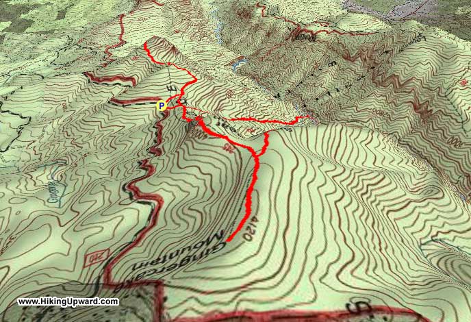
Garmin (GDB), Gaia/Trails App (GPX) (What's this?)
3D View of Route |
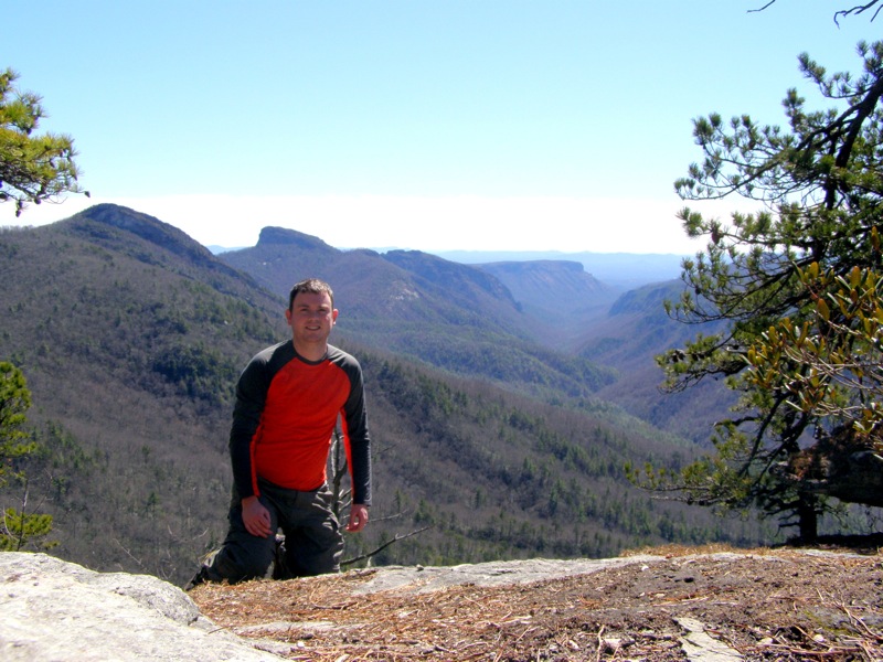
 By Trail Contributor: Zach Robbins (Contact Zach) By Trail Contributor: Zach Robbins (Contact Zach)
While most of the trails on the west side of Linville Gorge drop deep into the canyon and eventually end up near Linville River, the east rim of the gorge features spectacular trails that lead to cliffs and mountain summits. The northeast section of the Linville Gorge features a great variety of trails originating from Jonas Ridge that can be combined to create a view-packed hike that isn’t as tough as other hikes in the gorge.
The incredible 360° views from rocky Hawksbill Mountain are the highlight of this hike, but Sitting Bear Mountain and Celestial Point have plenty of big views and offer more solitude. Although this portion of the hike is only 6 miles, the climbs up Hawksbill and Sitting Bear mountains are steep and will leave you panting. You can break this hike into shorter segments depending on time and physical ability, or add other trails in the area such as Devil’s Hole, Table Rock Mountain, Spence Ridge, or Upper Creek Falls.
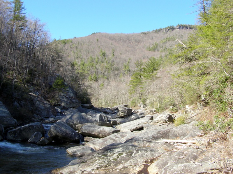
This hike also includes the difficult, rocky trip into Devil’s Hole, a beautiful stretch of Linville River with enormous boulders and formidable cliffs. The Devil's Hole Trail is one of the few maintained access points to Linville River from the east rim of the gorge. Whatever you decide, the east rim of Linville Gorge will leave you clamoring for more.
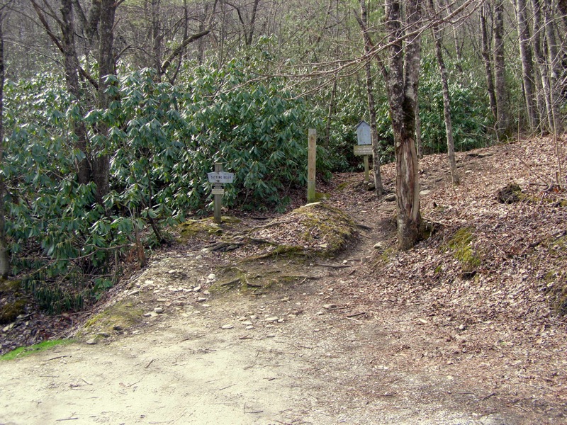
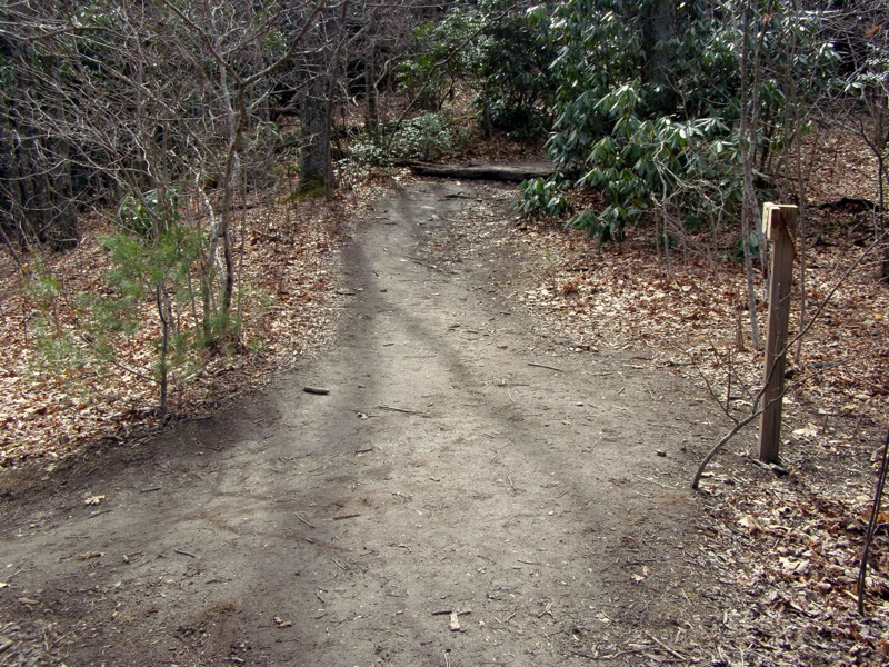
From NC-181 head south on Ginger Cake Rd and in 0.3-mi take a slight left onto Table Rock Rd. Ginger Cake Rd is a loop with two intersections with NC-181, the southernmost intersection is described here and will help you avoid a longer trip through the Gingercake Acres residential area. Table Rock Rd leaves the residential area turning to gravel and enters the Linville Gorge Wilderness. Sitting Bear Trail will be the first signed trail head on the right side of the road. There is minimal parking here, enough for 2 cars, but there are pull outs along the road near the trail head.
None of the trails on this hike are blazed, occasionally you may see signs or cairns at trail heads and intersections. Some of the trails listed here are not shown on National Geographic or USFS maps and are maintained by volunteers. For more information on all of these trails head to http://www.linvillegorge.net/smf/.
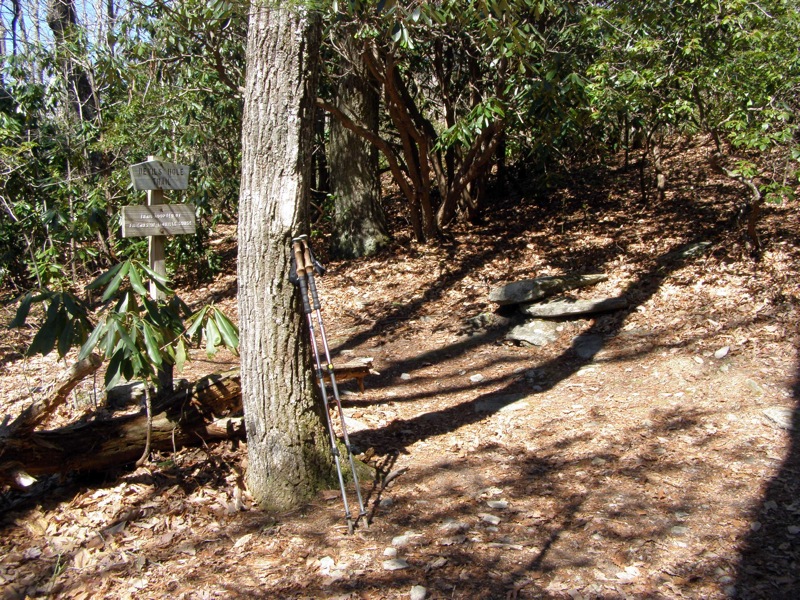
- Mile 0.0 – Hike begins at the Sitting Bear Trail (no blaze) parking area.
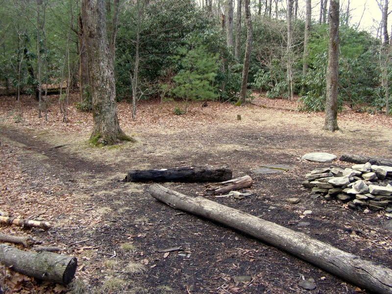
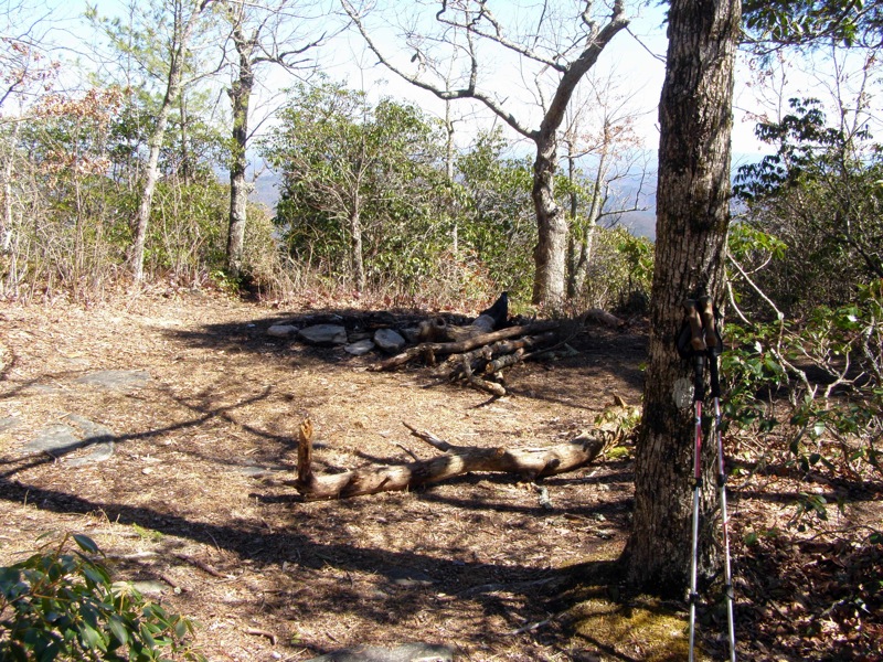
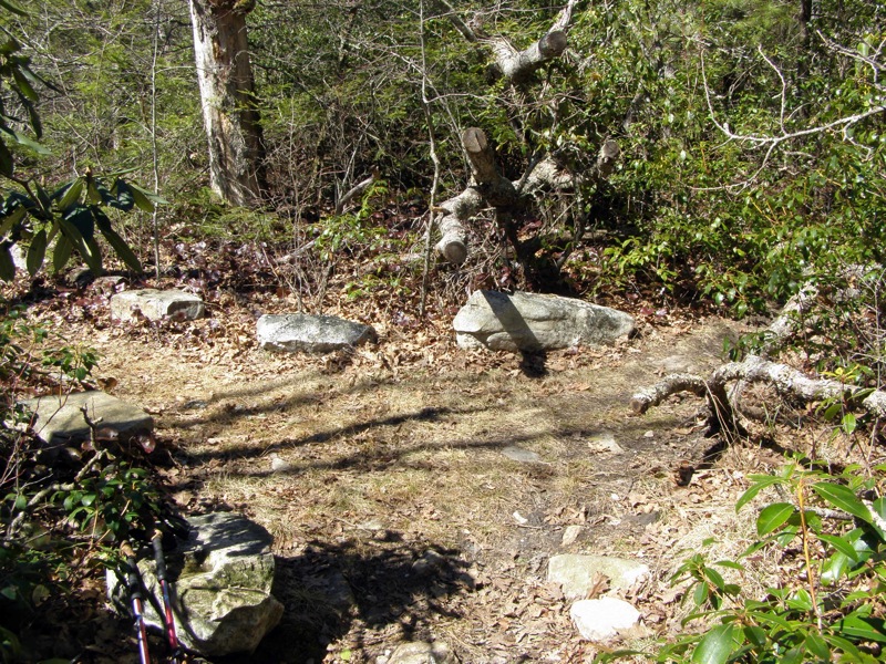
- Mile 0.1 – Intersection with the Jonas Ridge Trail (no blaze) in a large camping area. Turn left on the trail heading up a small knob.
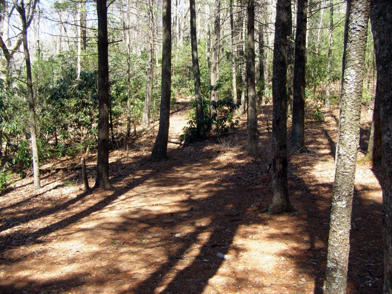
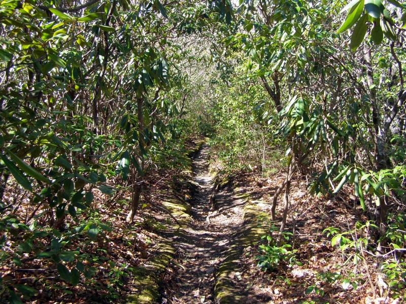
- Mile 0.8 – Pass by a campsite on the left. Jonas Ridge Trail ends at intersection with Hawksbill Trail coming in from the left. Go straight following the Hawksbill Trail (no blaze) which climbs steeply through a forested tunnel towards the summit.
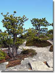
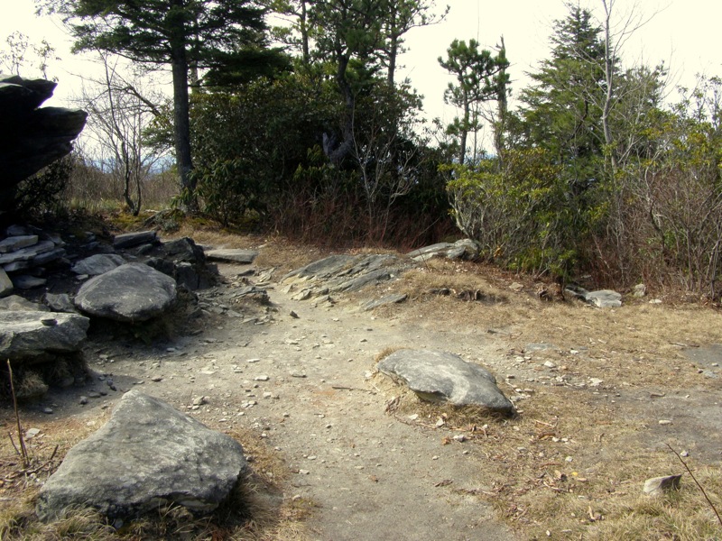
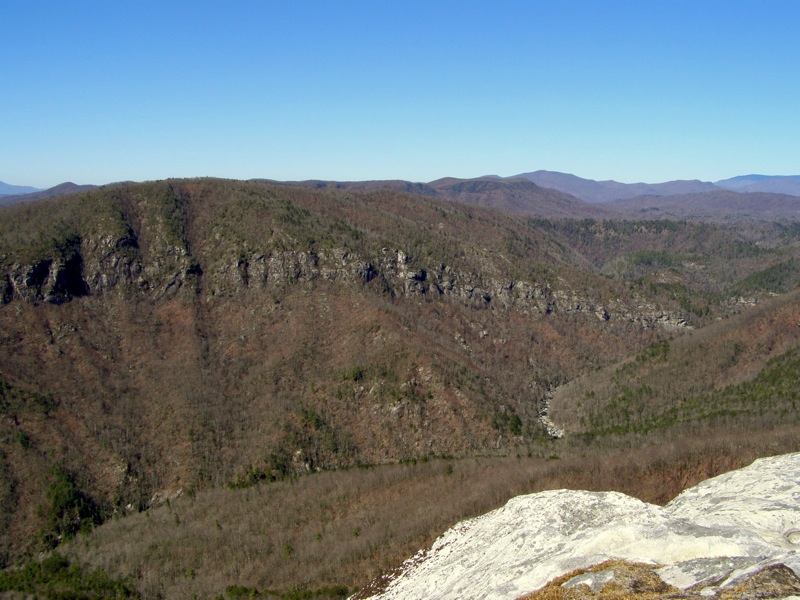
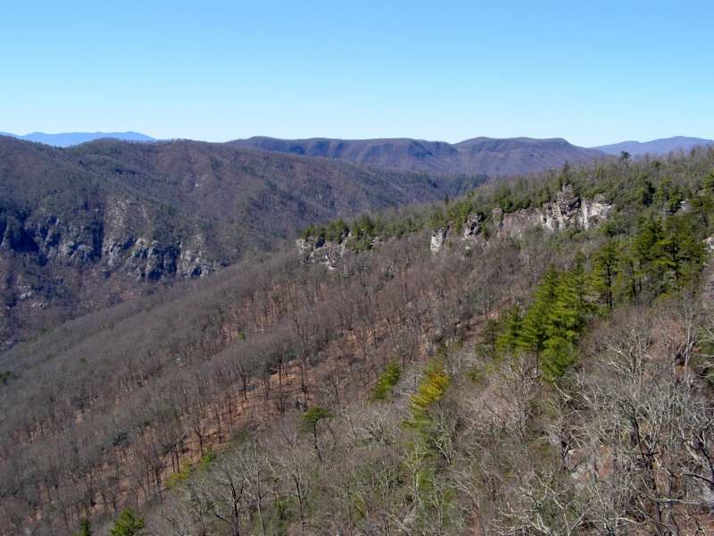
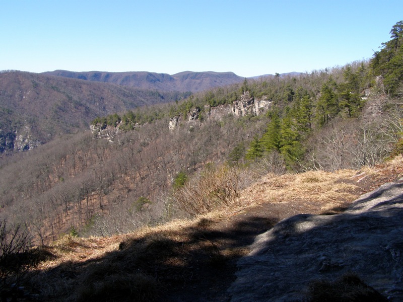
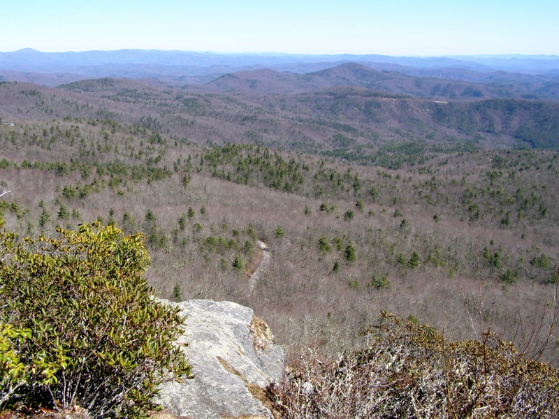
- Mile 1.0 – Trail reaches a saddle with a campsite beneath a large boulder. Turn left to explore cliffs on the south side of Hawksbill Mountain. You will have outstanding views of Table Rock Mountain due south and the cliffs on the west side of Linville Gorge. Rhododendrons and stunted pines dot the southern slopes. After exploration turn around and walk back to the saddle and follow footpaths north to the main summit.
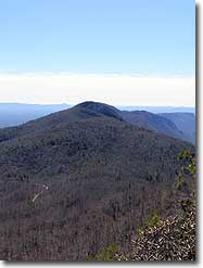
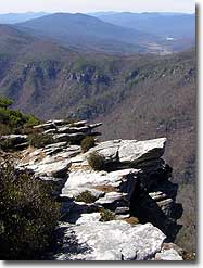
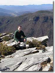
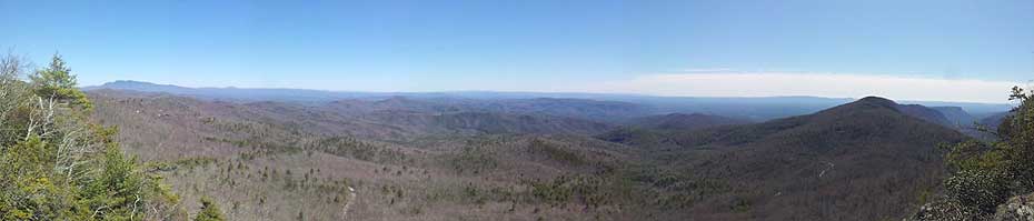
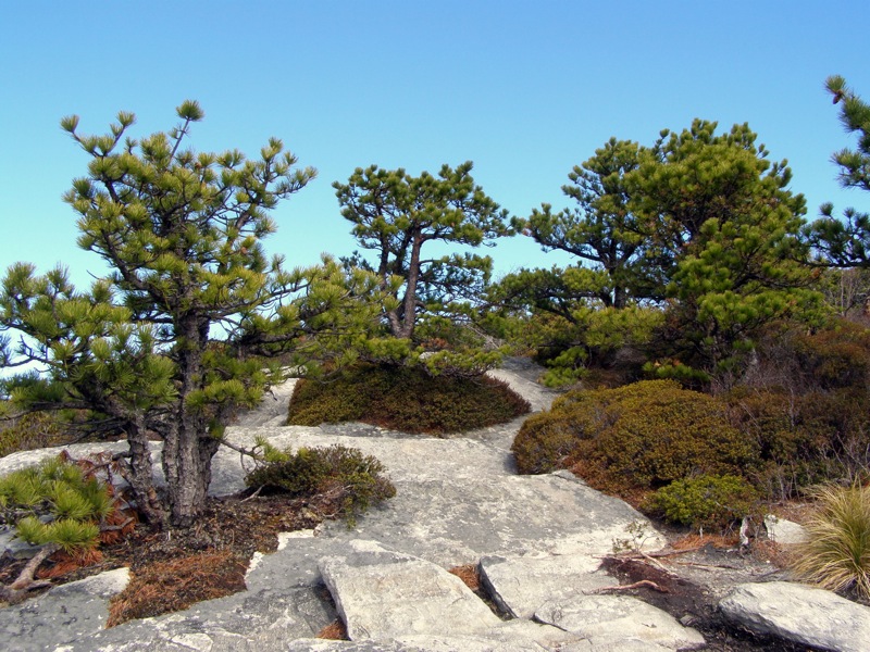
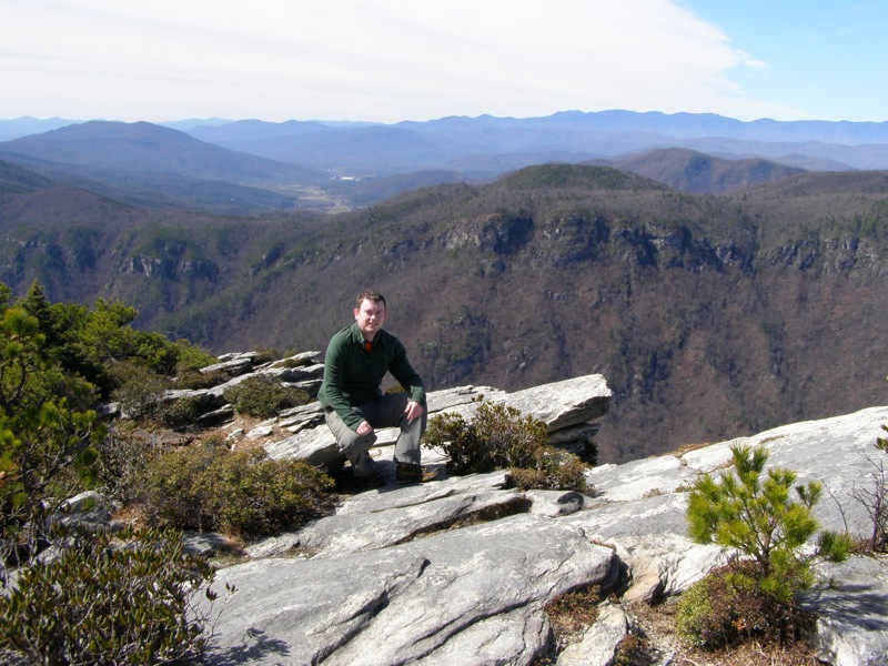
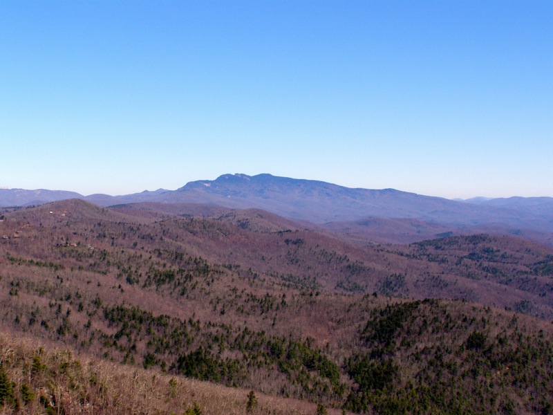
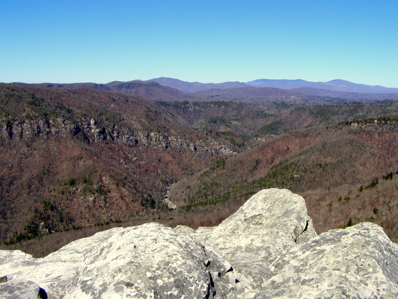
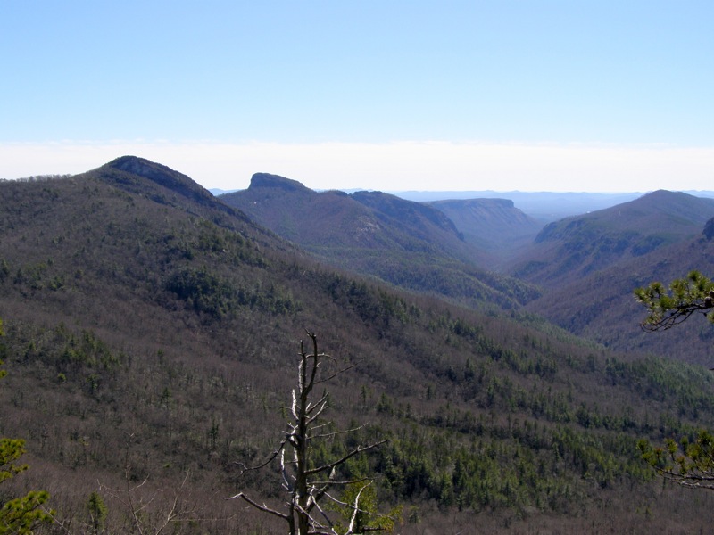
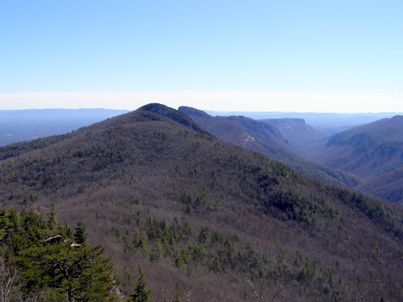
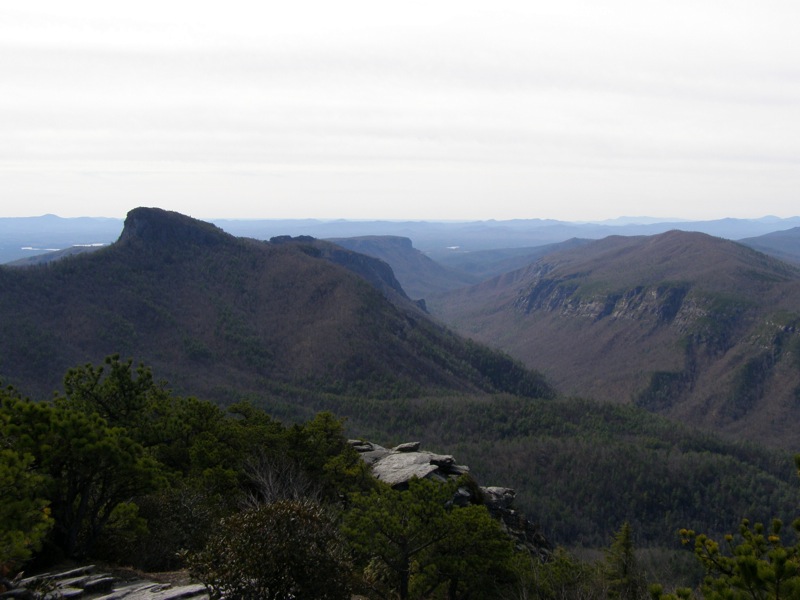
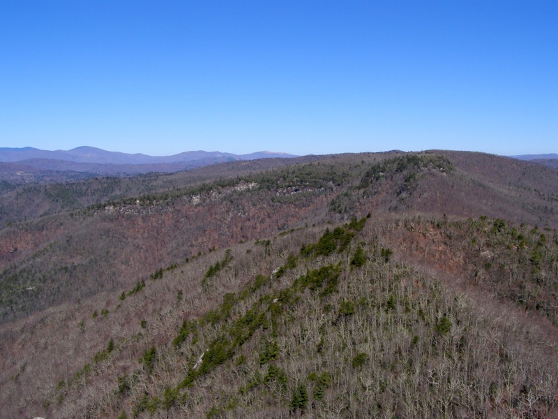
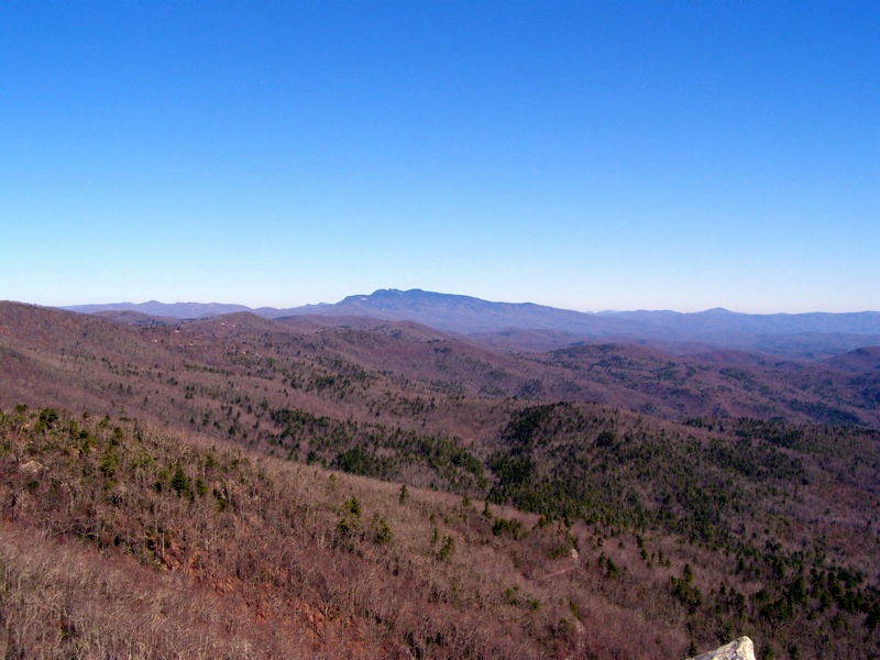
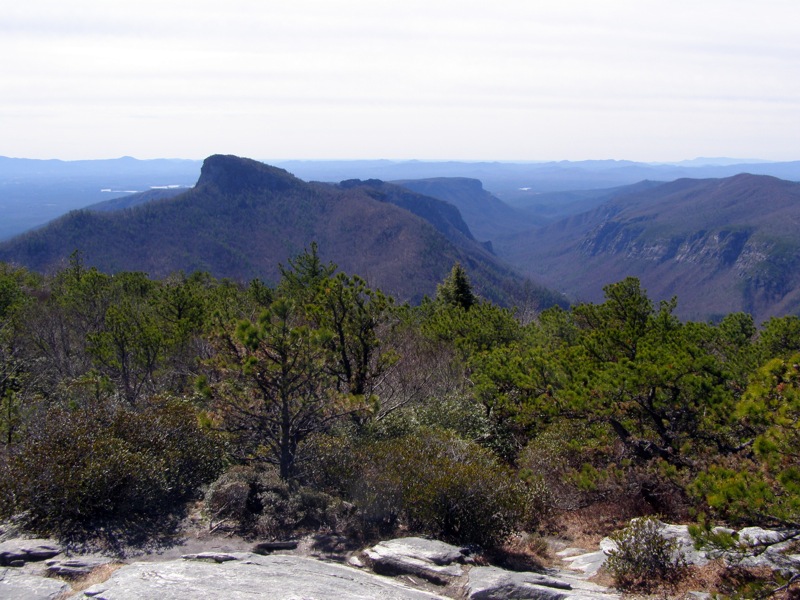
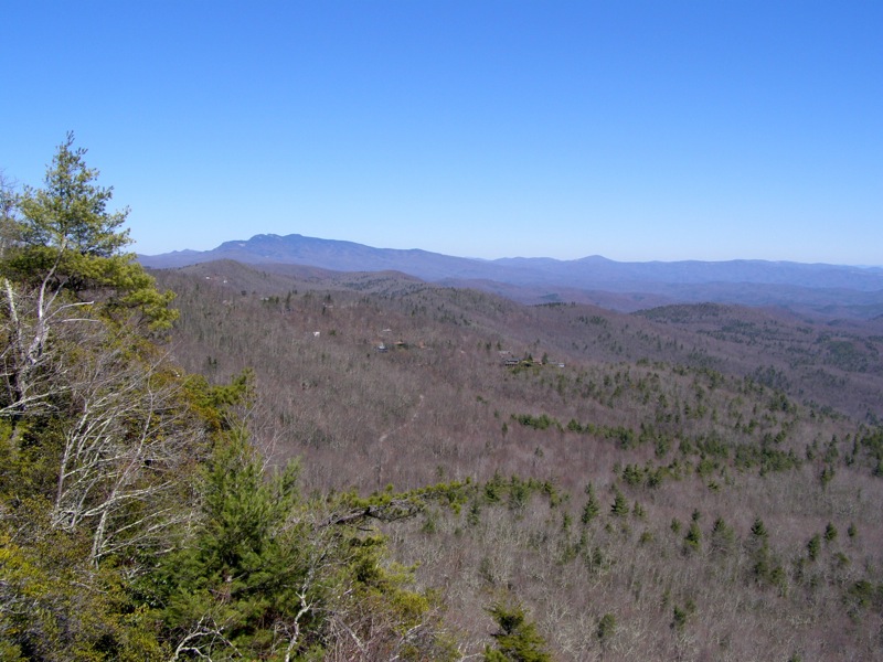
- Mile 1.1 – Reach the exposed, spectacular rocky summit of Hawksbill Mountain (4,020 feet). From here you are treated to 360° views of the Blue Ridge Mountains. To the north the ridgeline extends to Sitting Bear Mountain where numerous cliffs and Hurricane Wall are easily spotted. Beyond that the Roan Highlands are seen in the distance while Grandfather Mountain towers above the region. Due east the mountains drop sharply to the Wilson Creek region of Pisgah National Forest. Table Rock Mountain commands the southern view with The Chimneys and Shortoff Mountain lurking behind. Linville River is far below the summit, with the rugged cliffs of the west side seemingly within arm’s reach. Head down the mountain back to the Jonas Ridge Trail to continue the hike or head to the car for a short 2.2-mi trip.
- Mile 2.1 – At the original intersection of the Sitting Bear Trail and Jonas Ridge Trail continue north on Jonas Ridge Trail (no blaze).
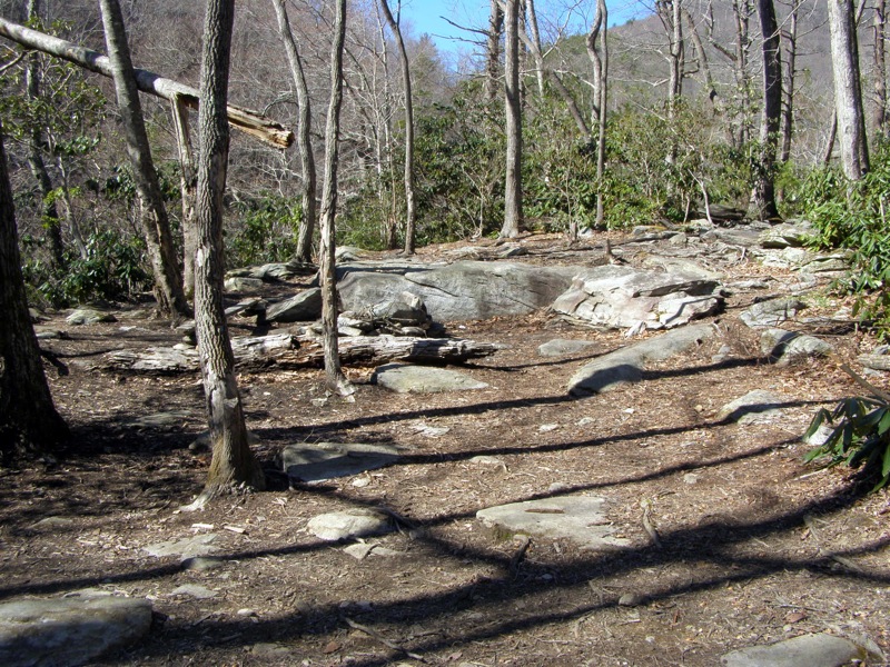
- Mile 2.2 – Another area with large campsites, commonly referred to as the “Pine needle campsite” due to the prevalence of big pines.
- Mile 2.3 – Devil’s Hole Trail (no blaze) branches off to the left, continue straight on the Jonas Ridge Trail. From here it is a short but brutally steep climb up Sitting Bear Mountain.
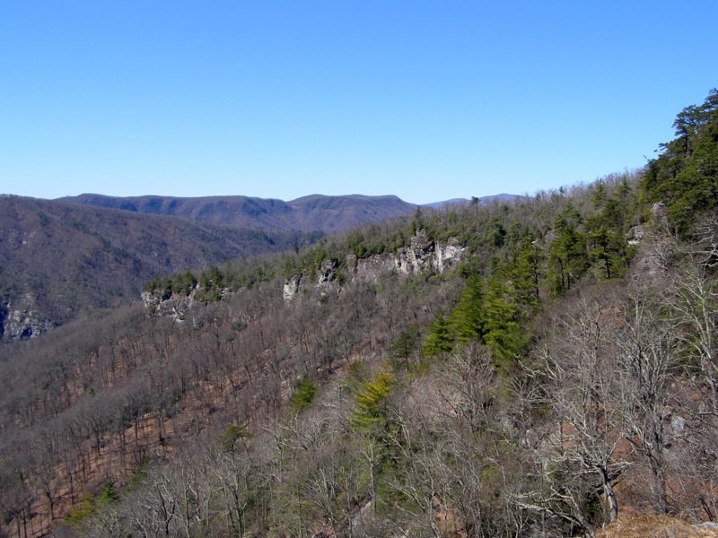
- Mile 2.6 – Beyond a brief flat section beside huge boulders there are two side trails on left to Cummens Overlook - small, grassy cliffs with outstanding views of the gorge, Hurricane Wall, and the Sitting Bear.
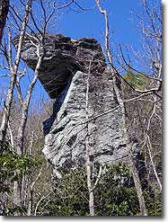
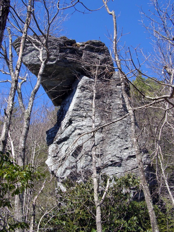
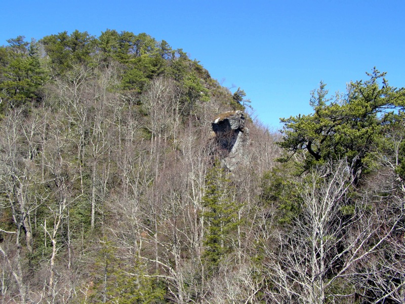
- Mile 2.7 – Pass directly under the 50-foot rock monolith known as the Sitting Bear, which gives the mountain its name. The next 0.1-mi is a steep climb to the summit, but newer switchbacks have been created to the left of the main scramble path if you can spot them.
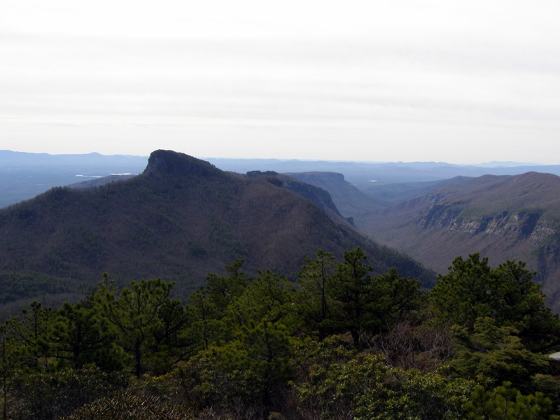
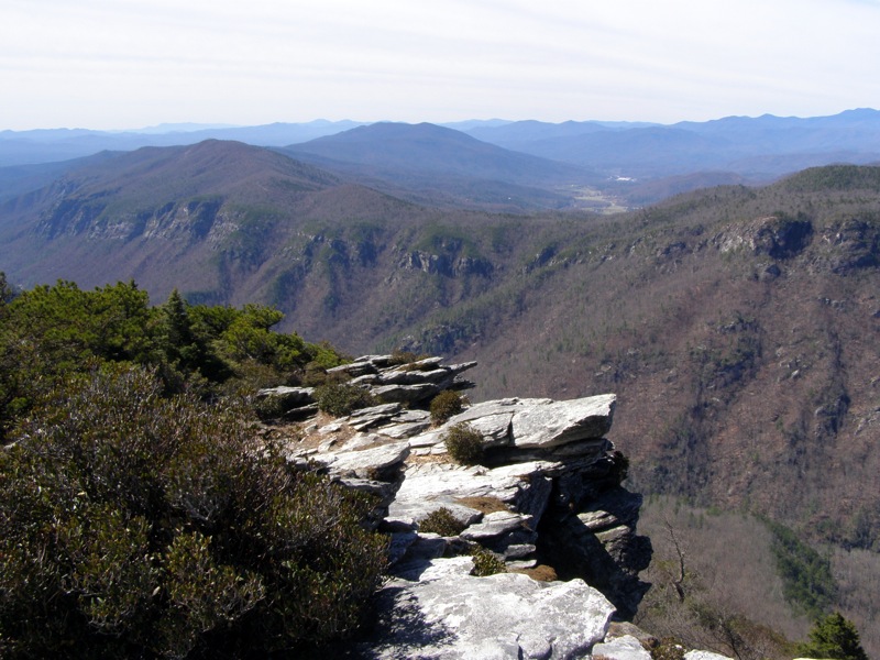
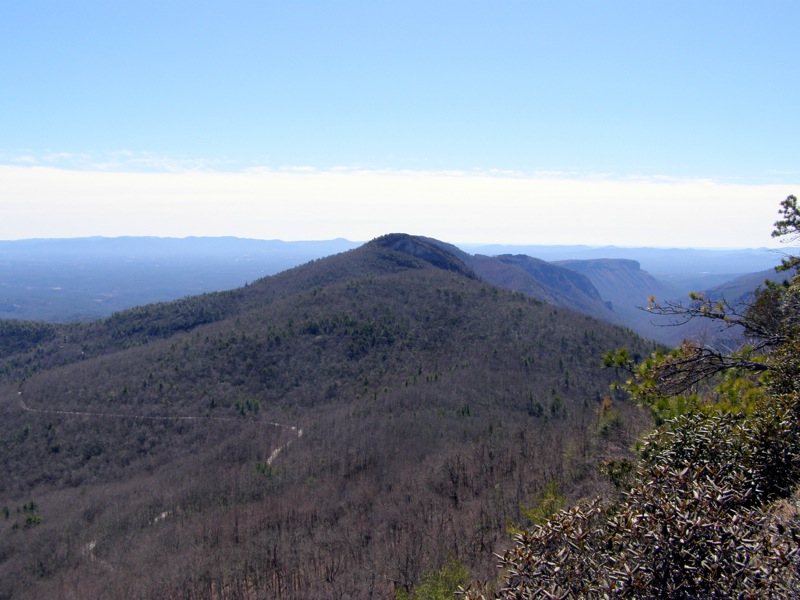
- Mile 2.8 – At the summit of Sitting Bear Mountain (4,095 feet) you will find many side paths on the left and right that lead to cliffs with views in every direction. Although there is not one open panoramic spot on the mountain, these user paths are fun to explore and offer lots of different views. A trail on the left leads steeply down to multiple rocks with magnificent views of the gorge. A path immediately right of the summit leads to another great southern view that includes Sitting Bear and Cummens Overlook.
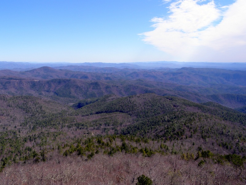
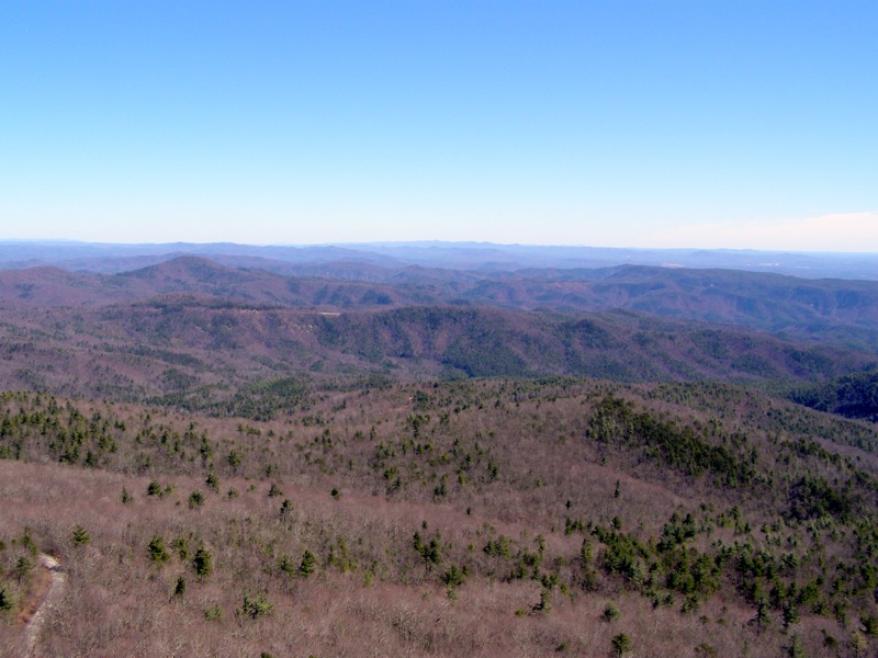
- Mile 3.0 – Pass by a large campsite at the summit with an eastern-facing cliff. Table Rock Rd is spotted far below the summit. Farther east the Wilson Creek drainage and its smaller mountains and ridges stand between Linville Gorge and the Piedmont. Grandfather Mountain looms due north. Looking south Table Rock Rd winds below Hawksbill Mountain which blocks the face of Table Rock Mountain. Continue on the Jonas Ridge Trail north through rhododendron and mountain laurel tunnels as it follows an almost flat ridge that connects Sitting Bear Mountain and Gingercake Mountain. This is a good turn around point to shorten the hike.
- Mile 3.3 – Halfway Trail (unofficial, no blaze) intersection on right leads down to Table Rock Rd.
- Mile 3.4 – Devil’s Cliff Trail (unofficial, no blaze) and Midcliff Trail (unofficial, no blaze) intersection on left. Turn left and almost immediately take a left at a Y-junction following the Devil’s Cliff Trail. These trails are unofficial and not listed on Forest Service wilderness map.
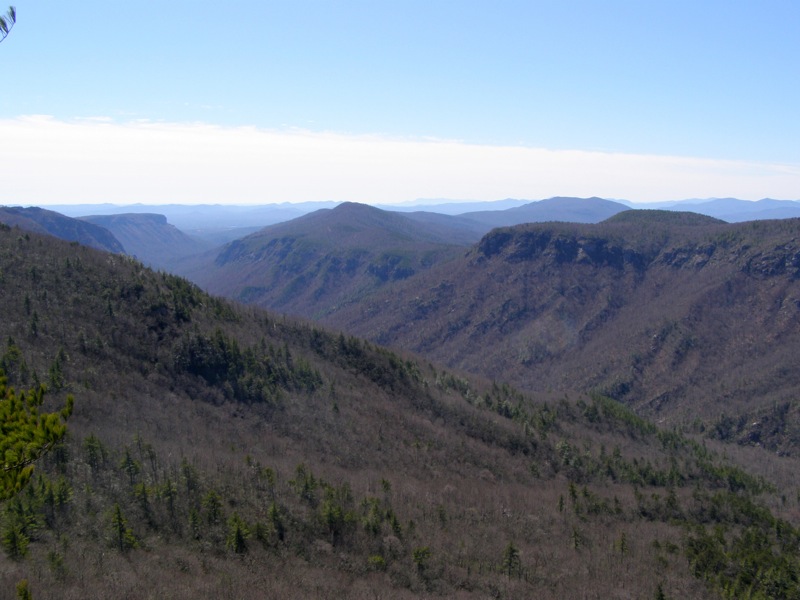
- Mile 3.6 – Take a left on a spur trail to Celestial Point. This spur trail drops steeply but is easy to follow.
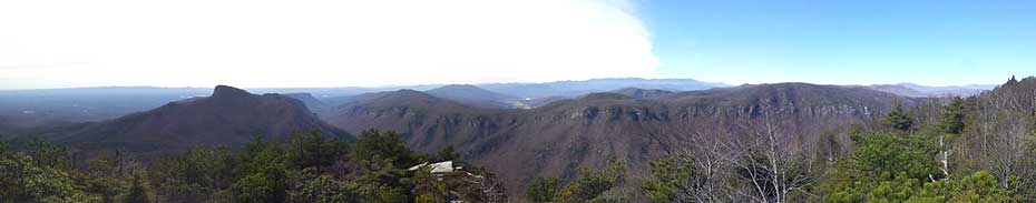
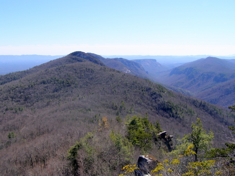
- Mile 3.7 – Trail ends at Celestial Point, a well-known overlook on Hurricane Wall that has an excellent view south of the gorge. Celestial Point is one of the best locations to view Hawksbill Mountain, Table Rock Mountain, and Shortoff Mountain in succession. Turn around and head back towards the Jonas Ridge Trail.
- Mile 4.1 – Turn left on the Jonas Ridge Trail heading north towards Gingercake Mountain.
- Mile 4.5 – Folded Rock Trail (unofficial, no blaze) intersection on left just beyond the summit of Gingercake Mountain. There are no views on Gingercake Mountain, it is broadly sloped and forested. Turn around here and head back towards Sitting Bear Mountain. The Jonas Ridge Trail continues north leaving the wilderness to its terminus in the Gingercake Acres residential area.
- Mile 5.8 – To finish the mountain version of this hike continue south towards the “Pine needle campsite” and turn left. At the far end of the campsite follow the Sitting Bear Trail extension to the road in 0.1 miles.
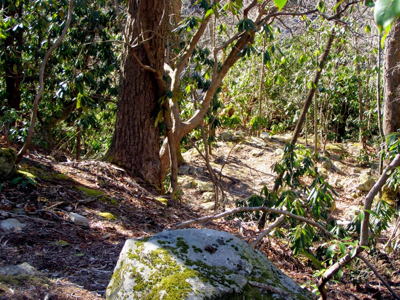
If you wish to extend the hike and explore Devil’s Hole in Linville River, turn right on Devil’s Hole Trail (no blaze). This trail follows a steep drainage which culminates in a great campsite above a rugged bend in the river. The initial descent plunges straight down the ridge into the gorge.
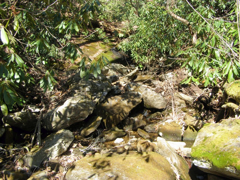
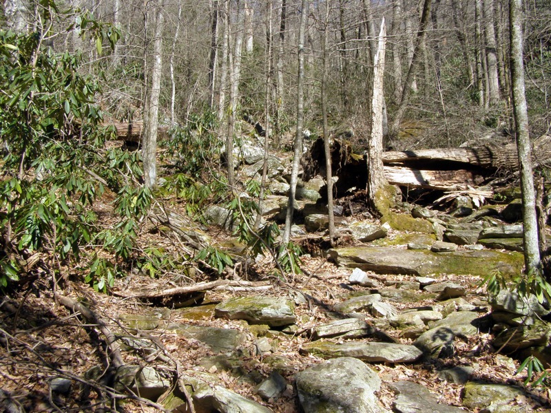
- Mile 6.3 – The trail becomes less discernable as it enters a boulder field. Occasionally you will see cairns marking the route.
- Mile 6.5 – Begin following Devil’s Hole Creek. The trail is easier to follow beyond this point as it parallels the tiny creek.
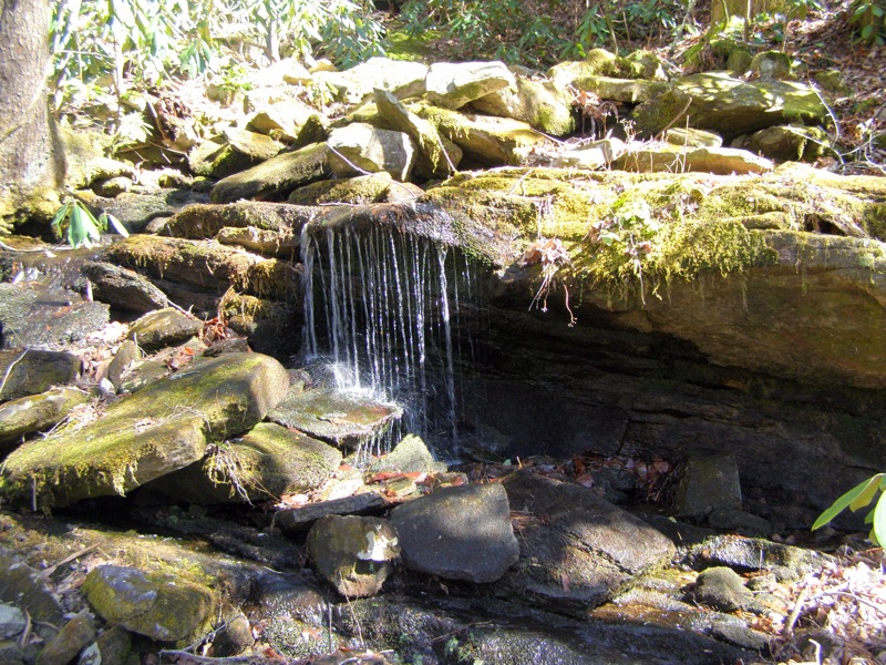
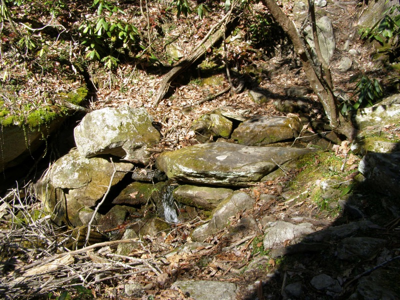
- Mile 6.6 – Small cascade on left side of trail amidst mossy boulders.
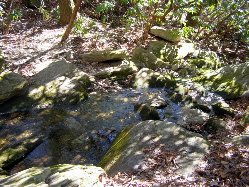
- Mile 6.7 – Rock hop over Devil’s Hole Creek.
- Mile 6.9 – The main trail turns left away from the creek leading to campsites.
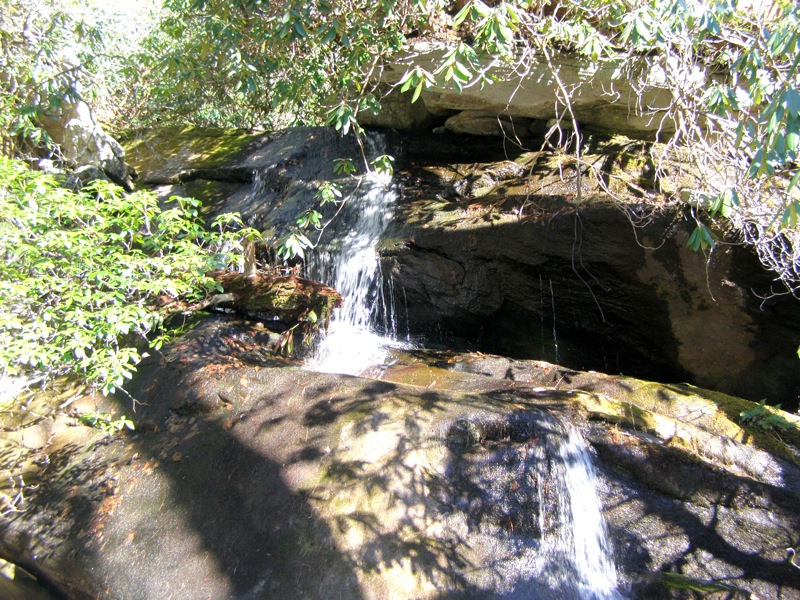
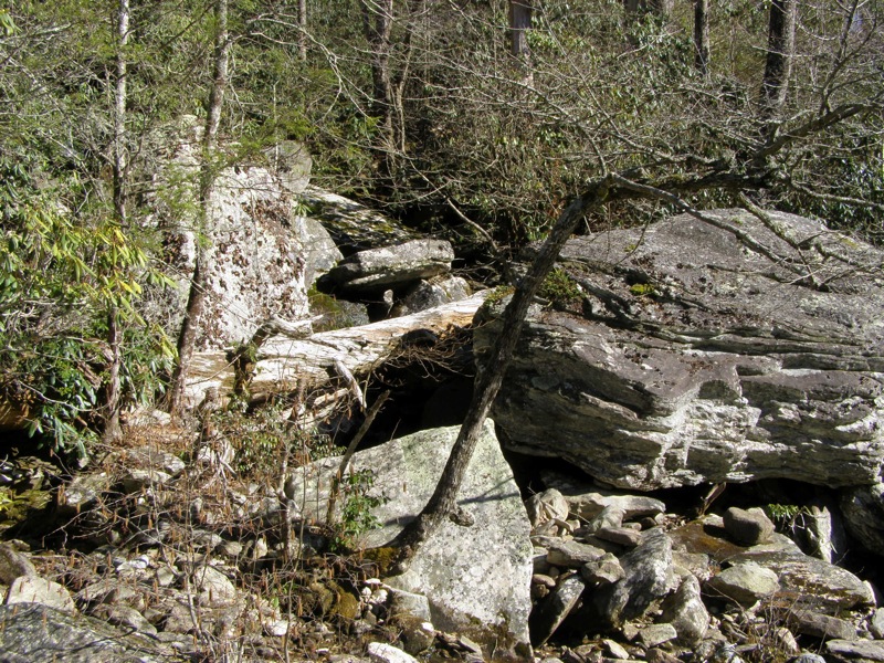
- Mile 7.0 – There is no obvious path down to the river from the main trail. At the intersection where the trail turns away from the creek there is a spur trail leading downhill to a flat area beside the creek. From here you can boulder directly down the creek to the river, starting on the left side of the creek. The passage goes between boulders and eventually takes you across the base of a waterfall.
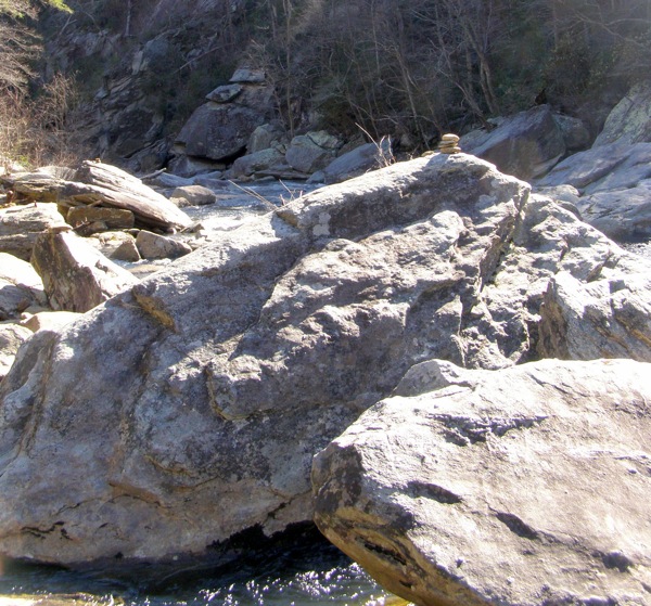
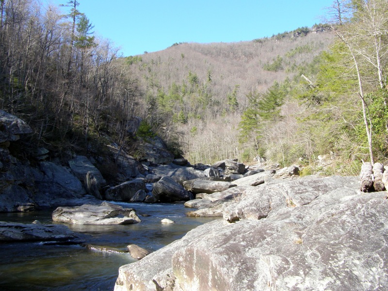
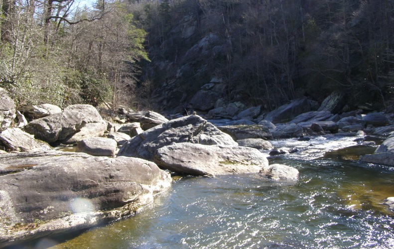
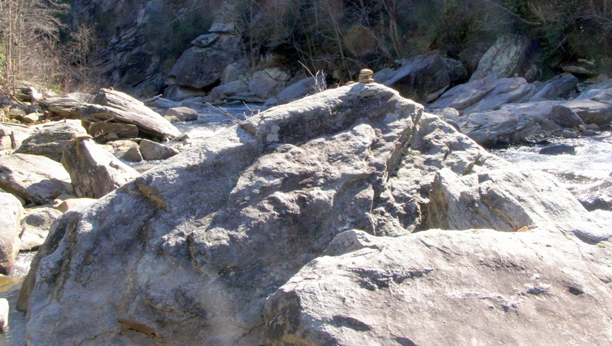
- Mile 7.1 – The waterfall spills into Linville River at Devil’s Hole. You will see cairns on some of the largest boulders in the river indicating this is the place to cross to reach the Linville Gorge Trail on the west side. This area of Linville River is full of gigantic boulders making it easy to explore the river’s banks while cliffs soar high above the river. This spot on Linville River is named for a unique boulder upstream with the aforementioned Devil's Hole. The massive but innocuous boulder has a large, deep hole to the base that can easily fit multiple people. Devil's Hole is located a few hundred feet upstream from Devil's Hole Creek and in order to reach it you will need to navigate the river and its rocky obstacles.
- Mile 8.4 – At the “Pine needle campsite” turn left. On the east side of the campsite an extension of the Sitting Bear Trail (no blaze) heads down to the parking area.
- Mile 8.5 – Hike ends at Table Rock Rd.
|
