|
| Length |
Difficulty |
Streams |
Views |
Solitude |
Camping |
| 1.8 mls |
 |
N/A |
 |
|
 |
Hiking
Time:
Elev. Gain:
Links:
Resources: |
1 hour and 15 minutes with 20 minutes of breaks
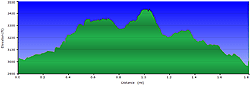
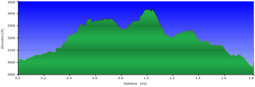
525 ft
 Pisgah National Forest Pisgah National Forest
Topo Hike Trails Map (PDF)
Edgemont, NC Weather Forecast
Current Weather Radar
Garmin (GDB), Gaia/Trails App (GPX) (What's
this?) |
 By Trail Contributor: Zach Robbins (Contact Zach) By Trail Contributor: Zach Robbins (Contact Zach)
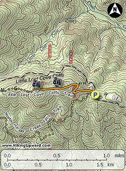
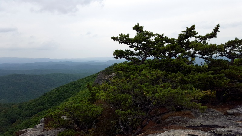
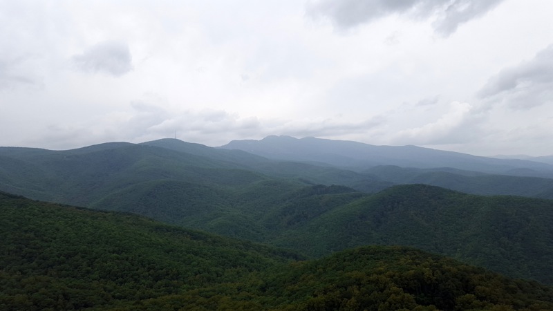
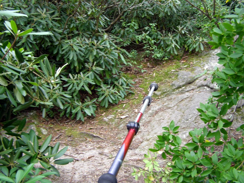
The Wilson Creek watershed in Pisgah National Forest is mostly known for its big creeks and waterfalls. There aren’t tall mountains here, but that’s not why most people visit. However, there are multiple trails along FSR 464 (a steep, winding forest road that climbs from Wilson Creek to the Blue Ridge Escarpment) that follow ridgelines to open cliffs with fantastic views. One of these trails is the Little Lost Cove Cliffs Trail [271A], which leads to two sets of cliffs that rise high above the Lost Cove Creek watershed with big views of Grandfather Mountain. You can start from either end of the trail since it begins and ends at the forest road. This hike describes the hike from the east trailhead which is also the starting point for the North Harper Creek Falls Trail [239], so it should be easy to find. There is limited camping at both cliffs and along the trail, but you will need to bring water since this hike is dry.
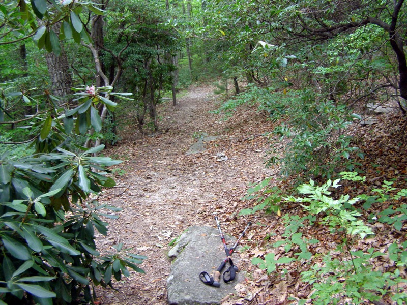
- Mile 0.0 –The Little Lost Cove Cliffs Trail [271A] (orange blaze) and North Harper Creek Falls Trail [239] (yellow blaze) both start at the same parking area on FSR 464. Turn right following the Little Lost Cove Cliffs Trail on a rough forest road track up the ridge.
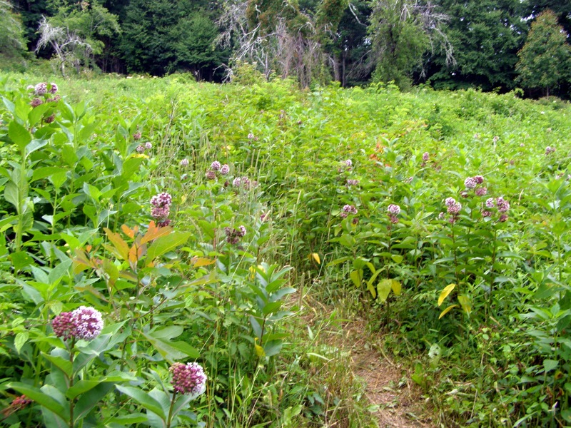
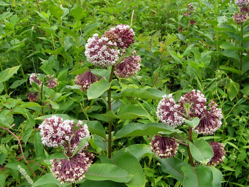
- Mile 0.2 – After a switchback, the trail briefly leaves tree cover passing through a field which used to be an apple orchard.
- Mile 0.6 – Look for an obvious spur trail on the right. This leads to the lower series of cliffs.
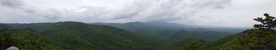
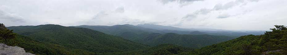
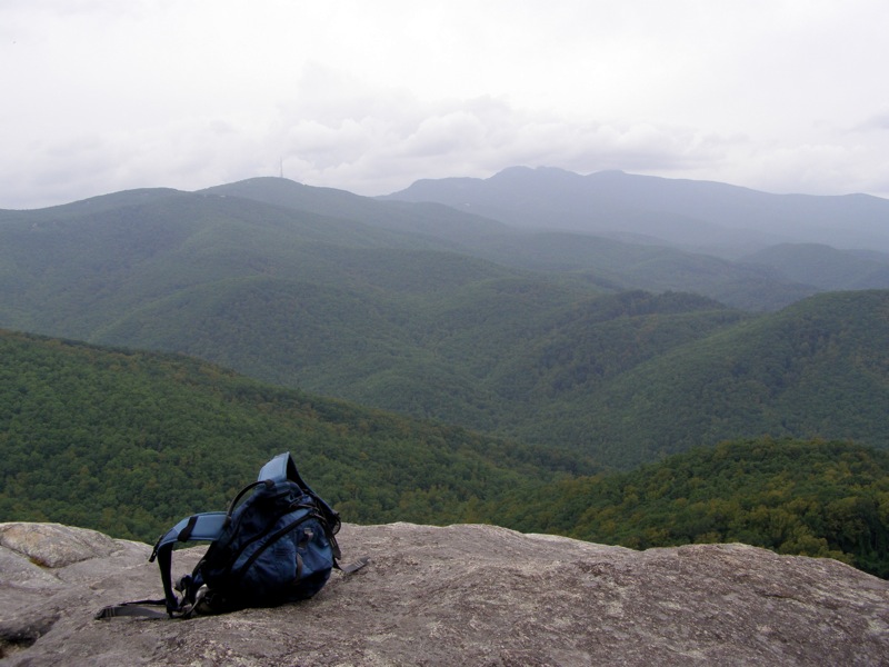
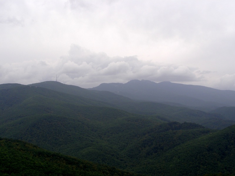
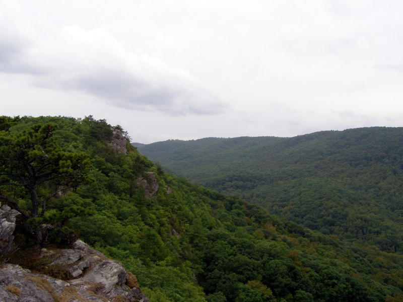
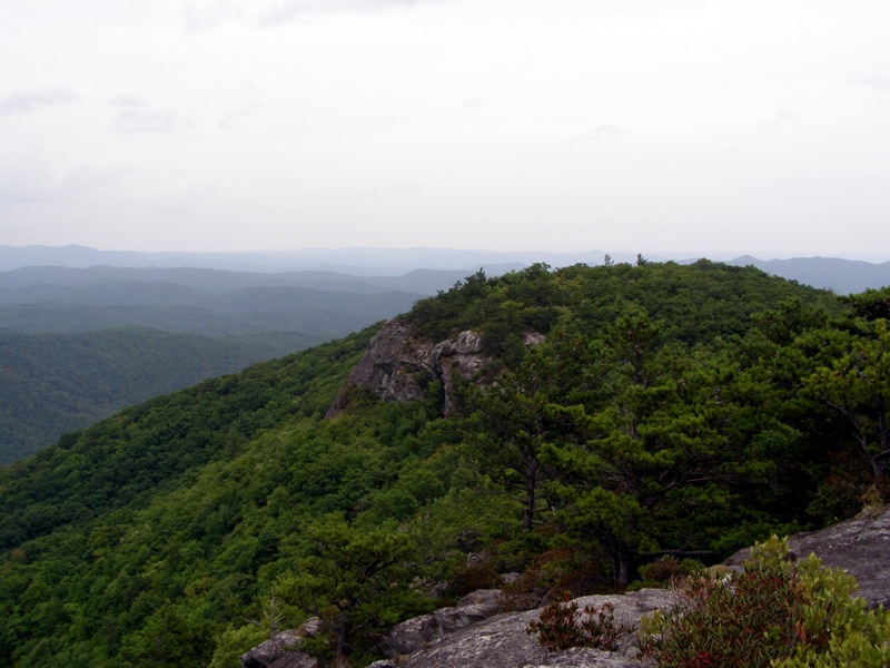
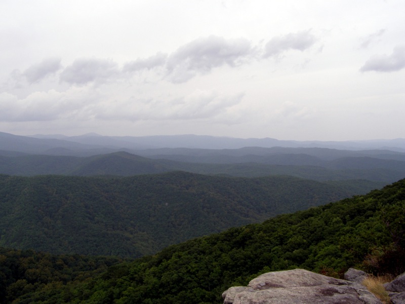
- Mile 0.7 – Spur trail ends at the lower section of the Little Lost Cove Cliffs. From these tall cliffs you have a fantastic view of Grandmother Mountain and Grandfather Mountain rising high above the Lost Cove Creek and Gragg Prong watersheds. On the left you can see the other section of cliffs that are higher in elevation. To the right are the rolling ridges and valleys of the Wilson Creek watershed.
- Mile 0.8 – Back at the main trail turn right heading west towards the next series of cliffs.
- Mile 0.9 – Turn right in thick rhododendron onto a spur trail to the cliffs.
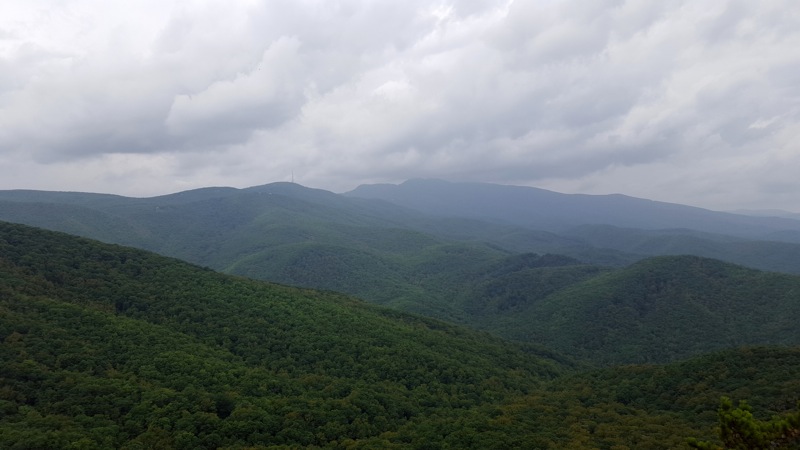
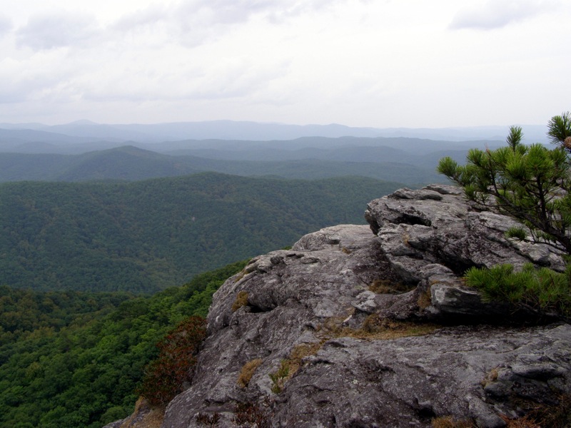
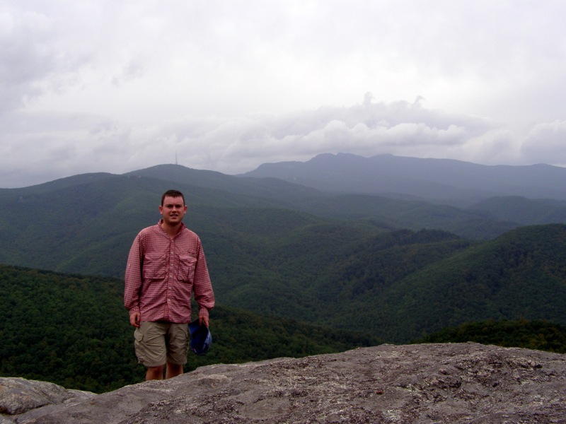
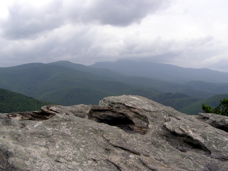
- Mile 1.0 – Reach the higher set of cliffs with almost identical views of Grandfather Mountain and the Lost Cove region. On the right you can see the lower set of cliffs you were on moments before.
Turn around and head back to the main trail and turn left heading east to the forest road. If you did this as a shuttle hike turn right heading west to the forest road.
- Mile 1.8 – Hike ends at the parking area on FSR 464.
|
