|
| Length |
Difficulty |
Streams |
Views |
Solitude |
Camping |
| 5.0 mls |
 |
N/A |
 |
 |
|
Hiking
Time:
Elev. Gain:
Links:
Resources: |
3 hours and 15 minutes with 50 minutes of breaks
1,810 ft
 Pisgah National Forest Pisgah National Forest
Topo Hike Trails Map (PDF)
Brevard, NC Weather Forecast
Garmin (GDB), Gaia/Trails App (GPX) (What's
this?)
3D View of Route |
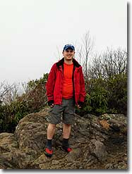
 By Trail Contributor: Zach Robbins (Contact Zach) By Trail Contributor: Zach Robbins (Contact Zach)
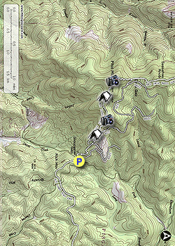
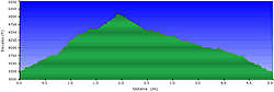
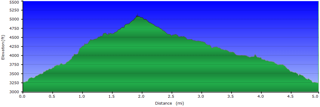
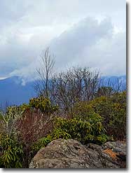
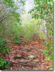
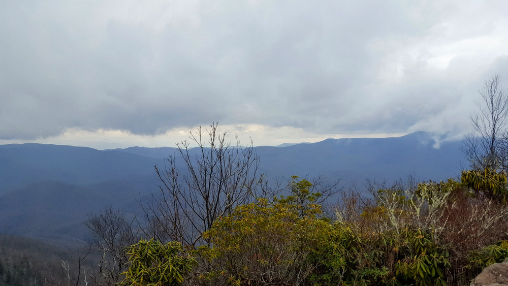
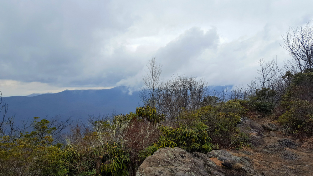
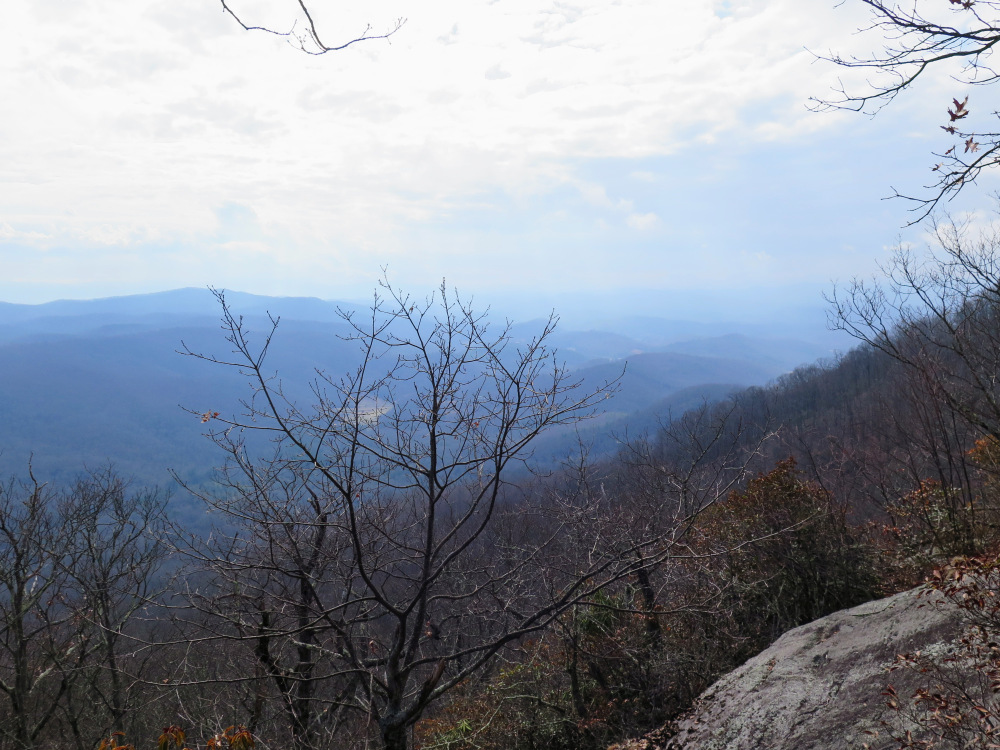
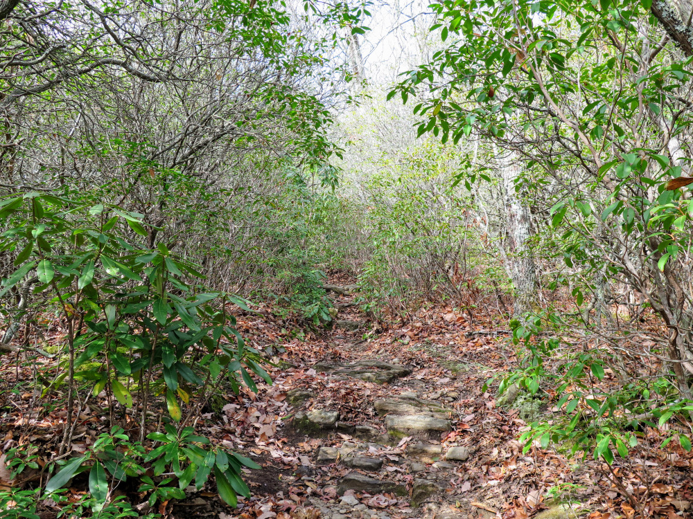
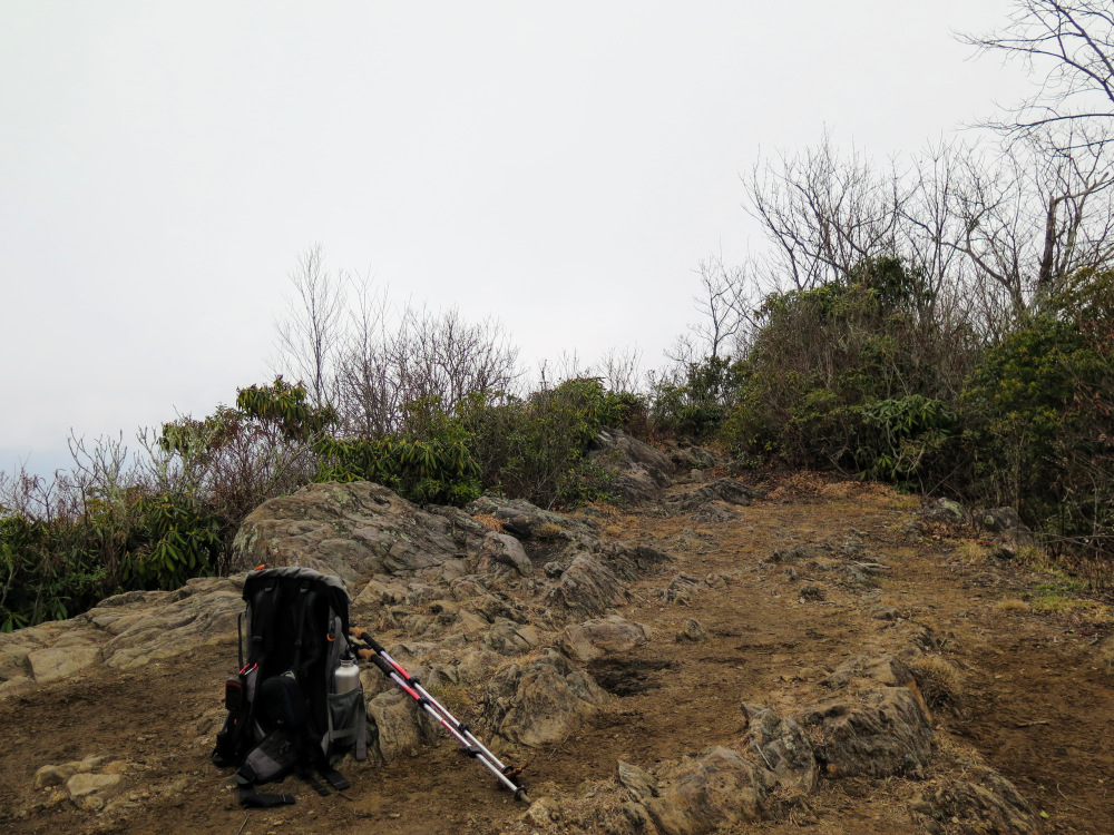
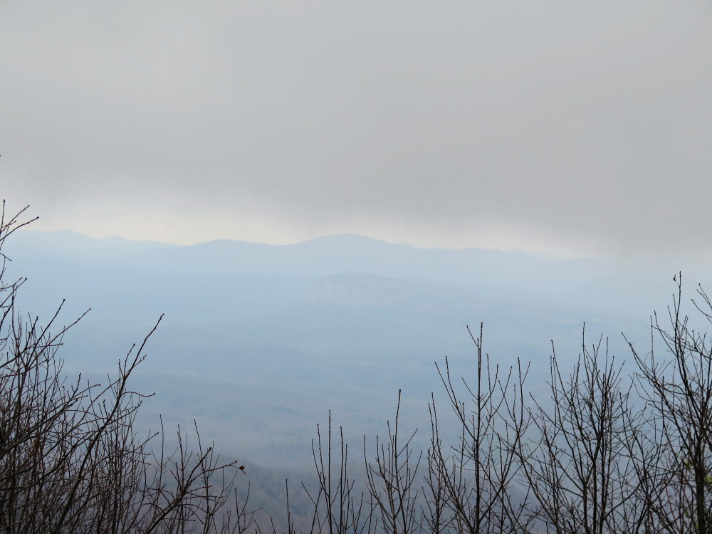
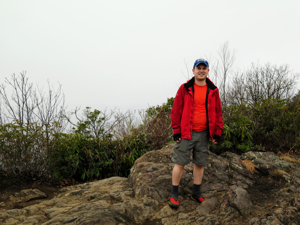
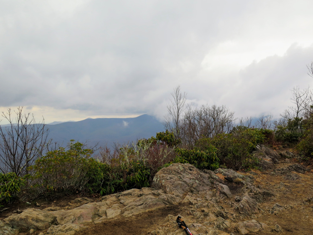
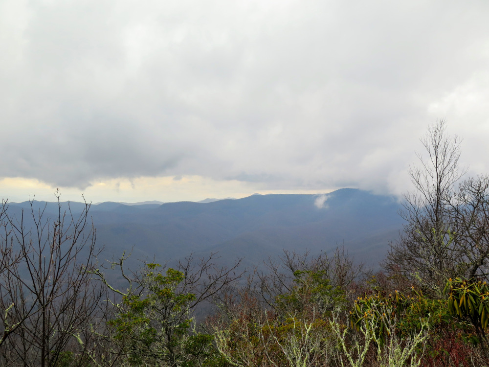
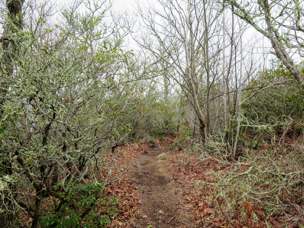
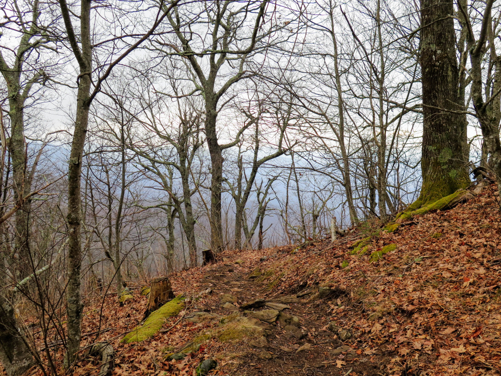
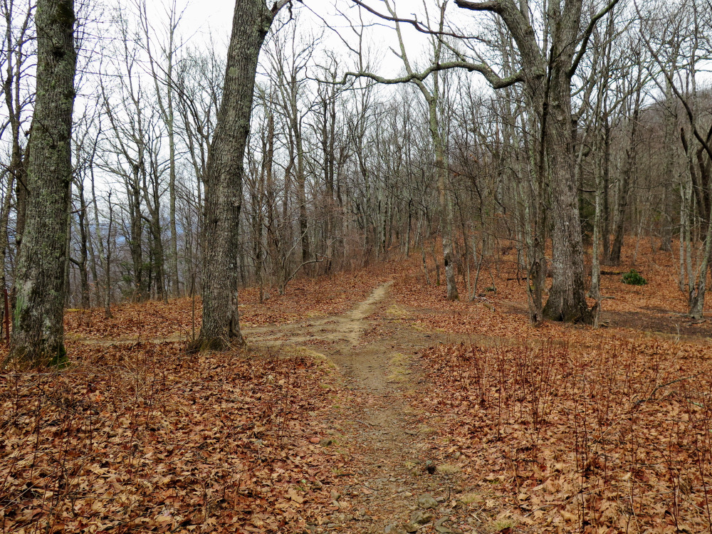
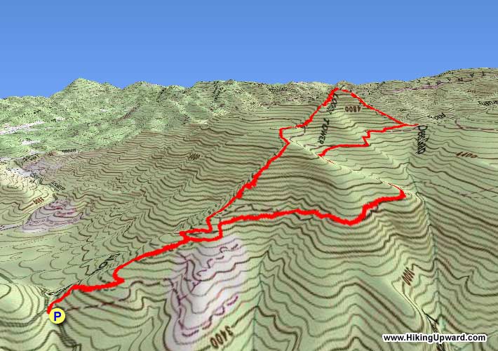
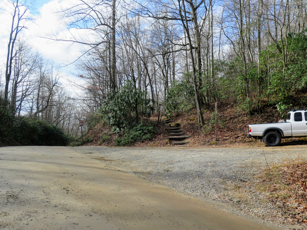
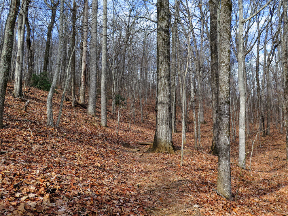
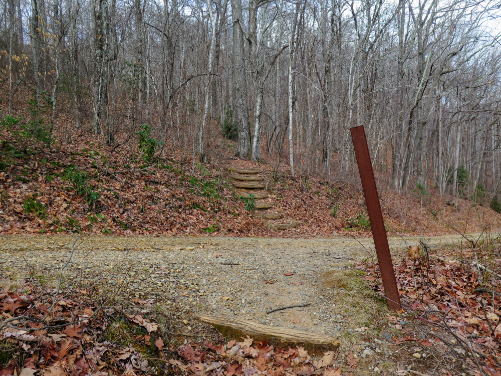
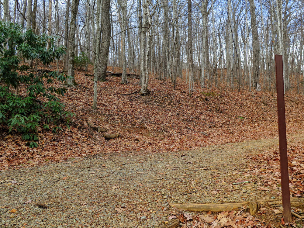
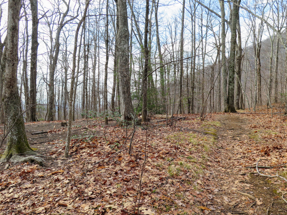
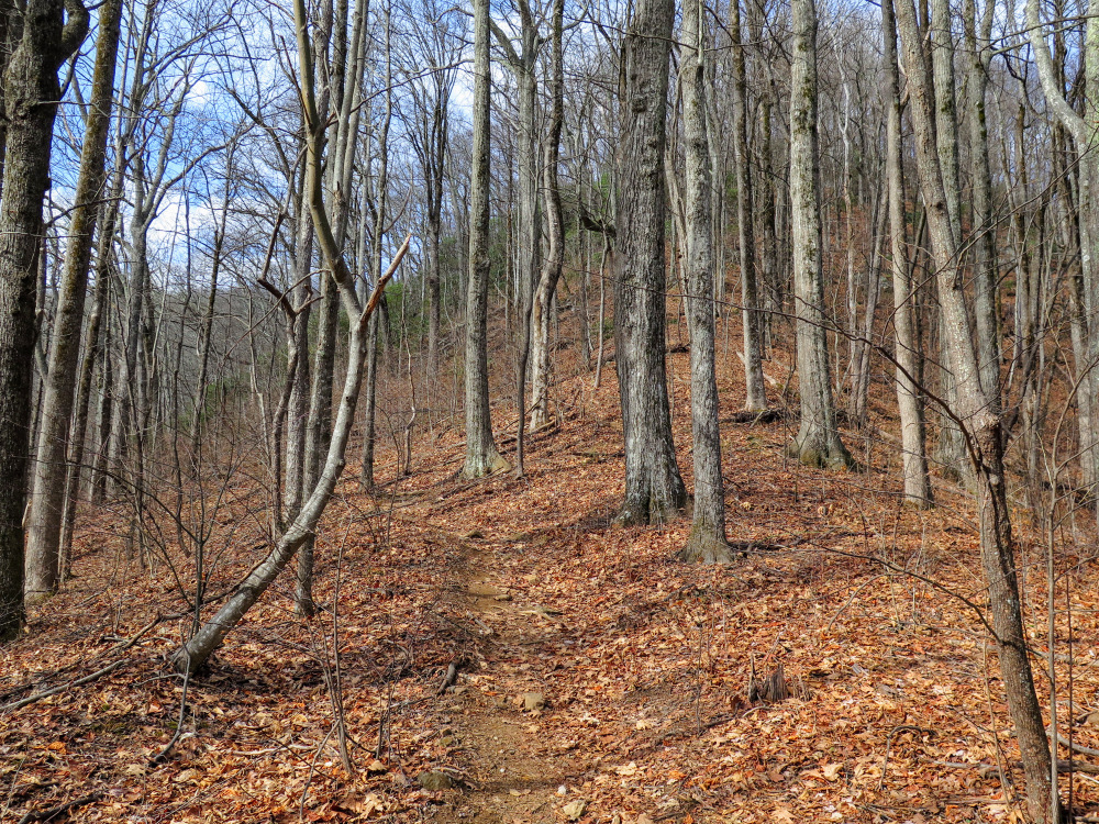
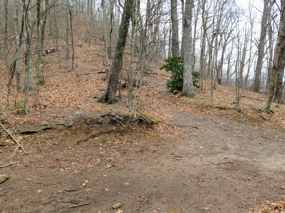
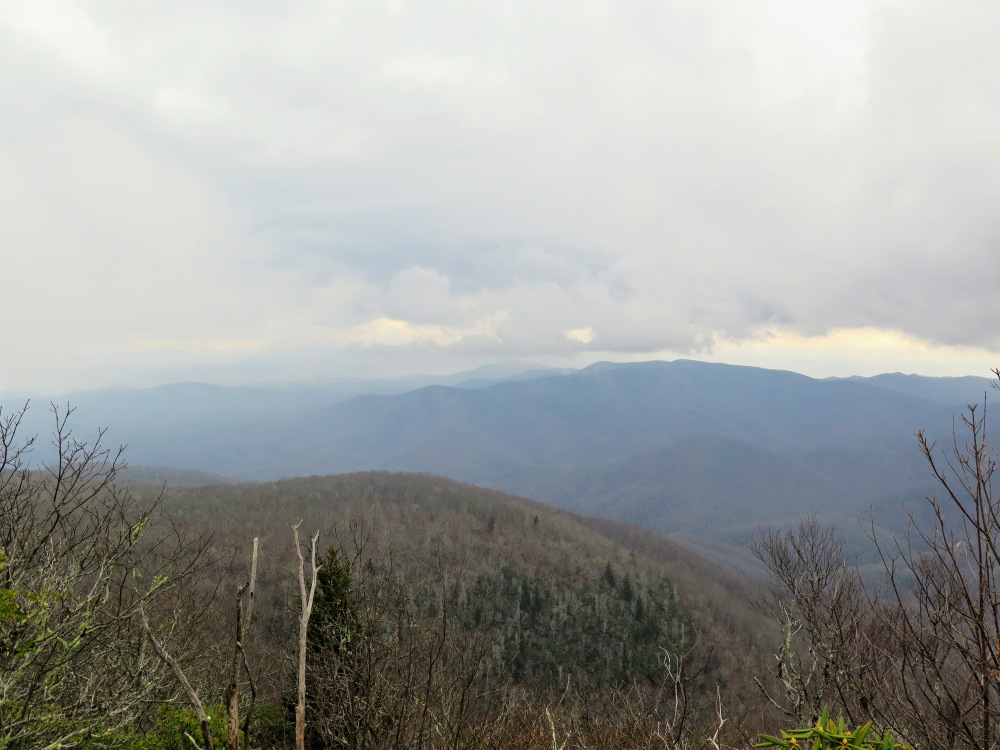
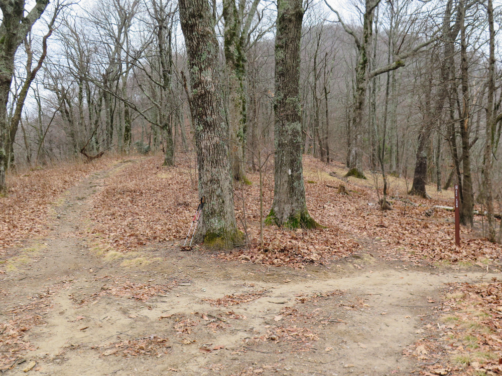
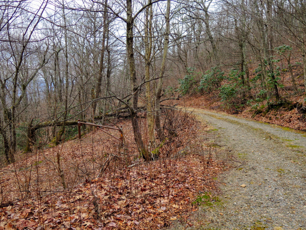
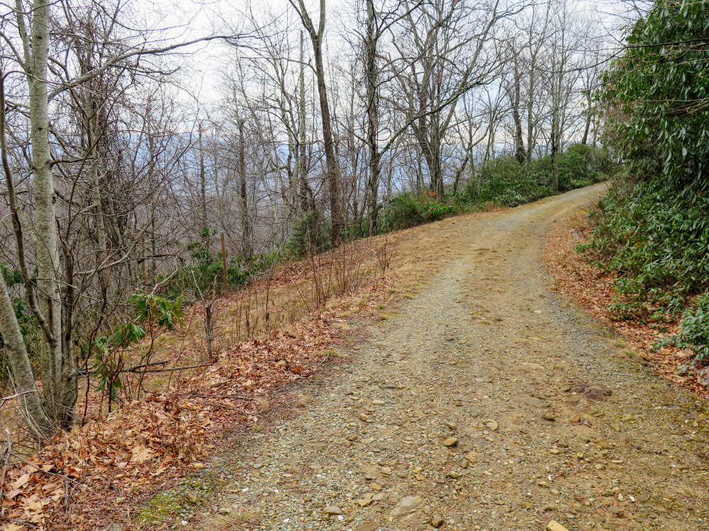
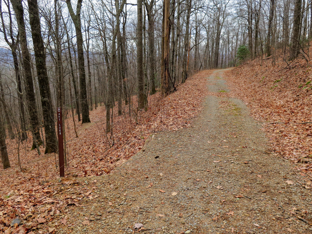
Pilot Mountain is a notable landmark on the Art Loeb Trail in Pisgah National Forest. Its steep, conical summit rises high above the surroundings and can be seen from many viewpoints along the Blue Ridge Parkway and in the Pisgah Ranger District. You can access the peak and make a loop using the Art Loeb Trail and FR 229 from Gloucester Gap on FR 475. Do not be fooled by the short distance, the hike to the 5,095-foot summit climbs over 1,800 feet in 2 miles. Pilot Mountain, the site of a former lookout tower, has open views southeast of Looking Glass Rock and north and west of the Great Balsam Mountains above the Blue Ridge Parkway. The ALT continues north into Deep Gap, where a shelter and spring welcome weekend campers. From Deep Gap you can take FR 229 back to Gloucester Gap or explore deeper into the forest.
|
