| Length |
Difficulty |
Streams |
Views |
Solitude |
Camping |
| 3.0 mls |
 |
N/A |
 |
|
 |
Hiking
Time:
Elev. Gain:
|
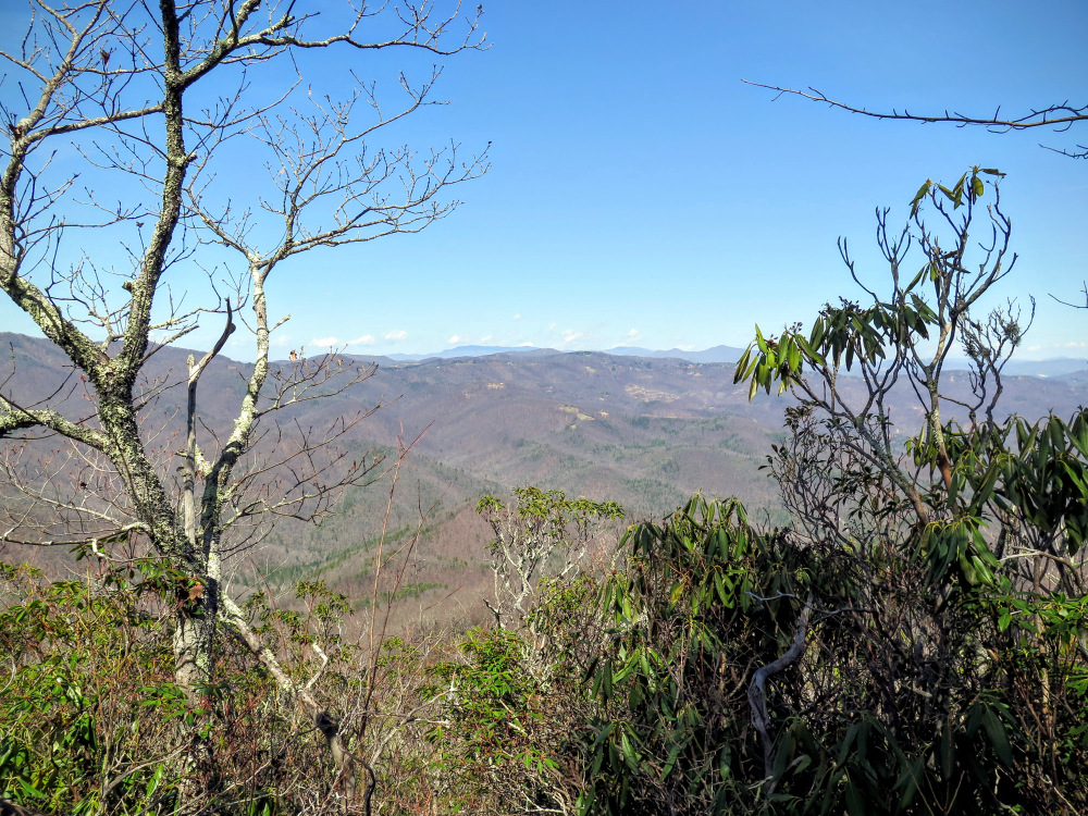
Armstrong Creek View
1 hour and 30 minutes with 15 minutes of breaks
670 ft |
| 12.6 mls |
 |
N/A |
 |
|
|
Hiking
Time:
Elev. Gain:
|
Woods Mountan Trail
6 hours with 1 hour and 20 minutes of breaks
3,300 ft |
| Resources: |
 North Carolina’s Mountain Treasures North Carolina’s Mountain Treasures
Topo Hike Trails Map (PDF)
Busick, NC Weather Forecast
Garmin (GDB), Gaia/Trails App (GPX) (What's
this?)
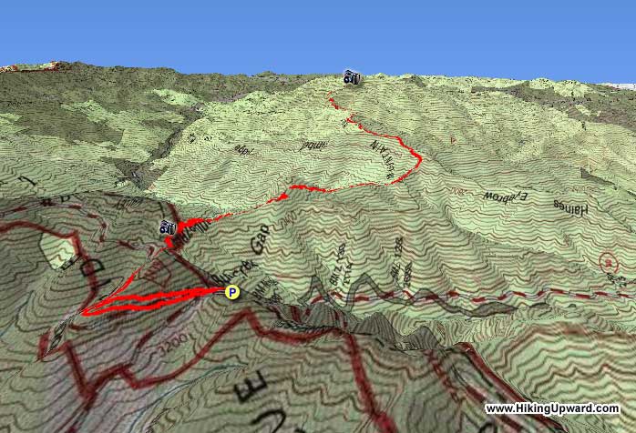
3D View of Route |
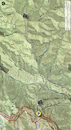
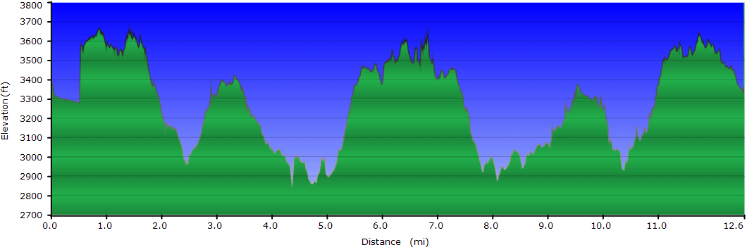
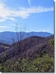
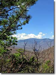
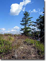
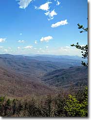
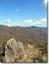
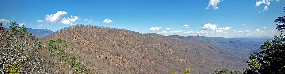
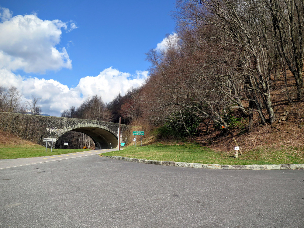
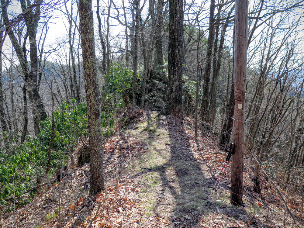
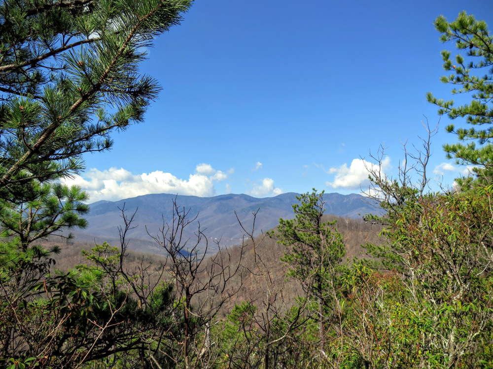
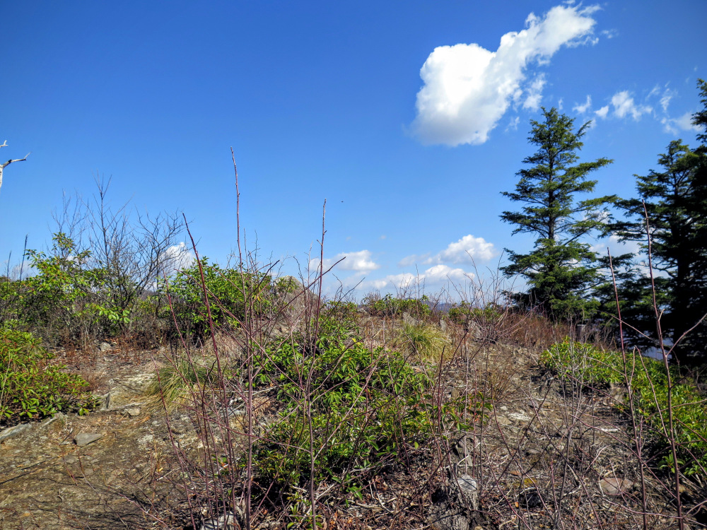
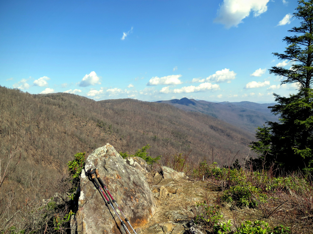
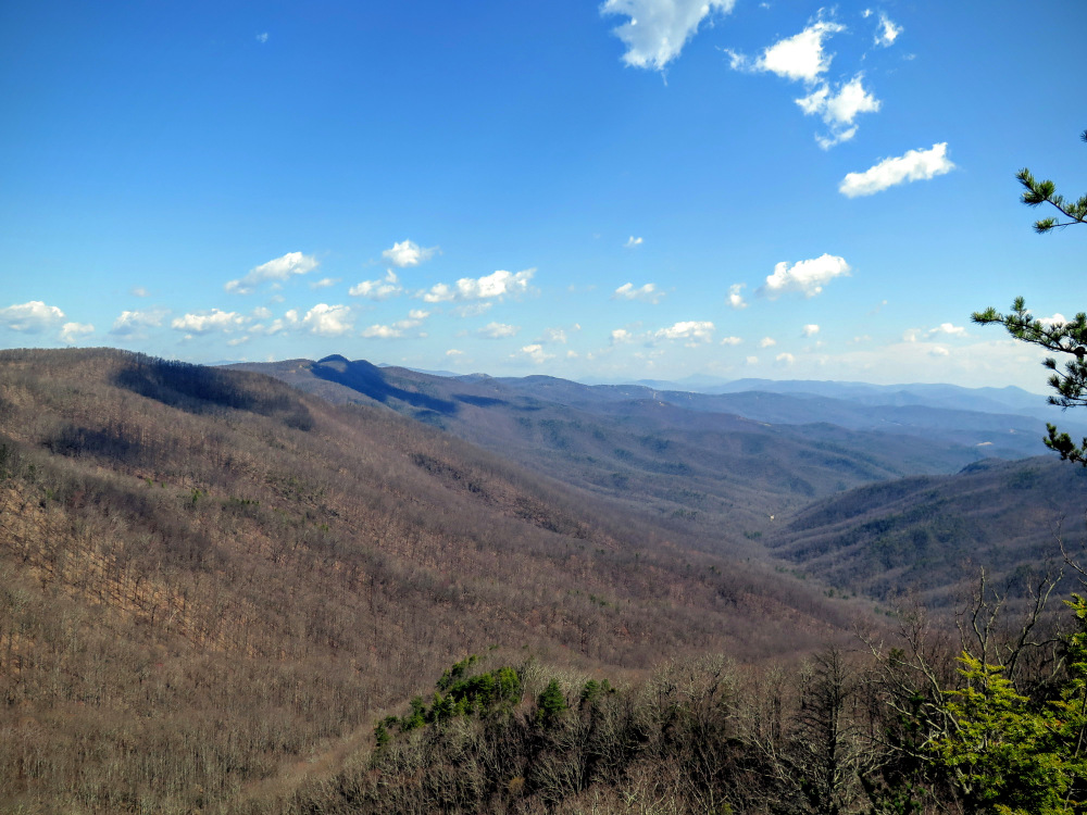
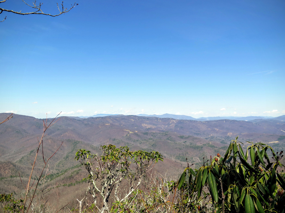
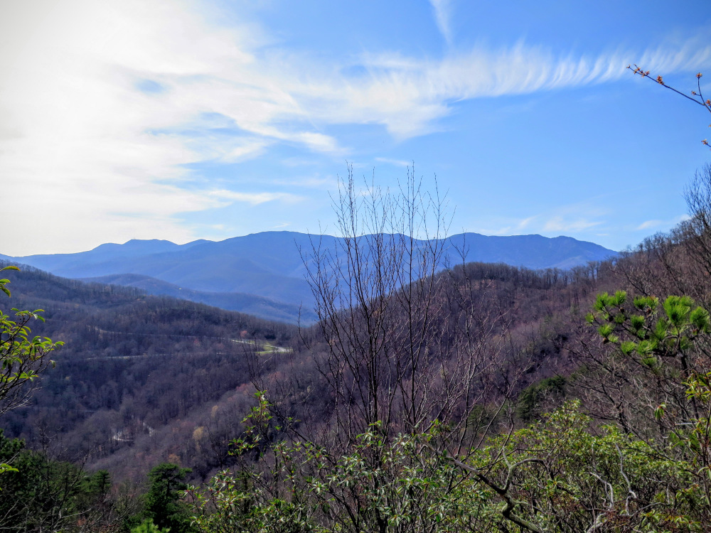
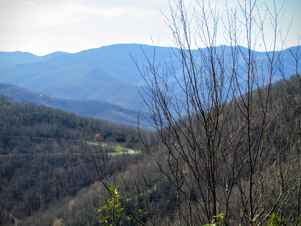
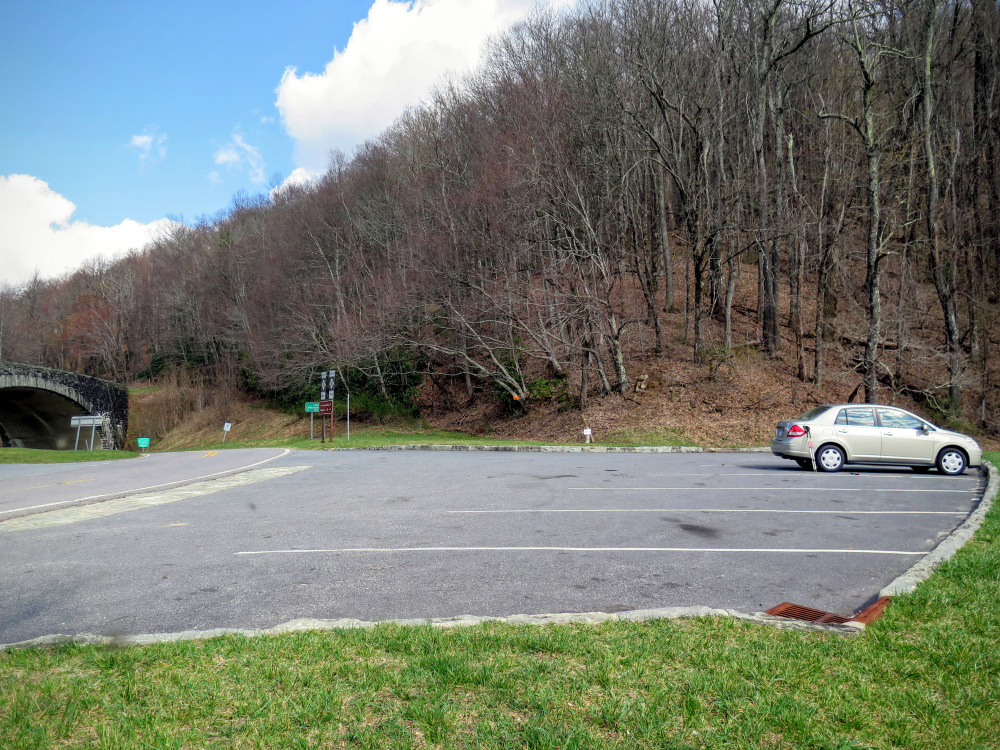
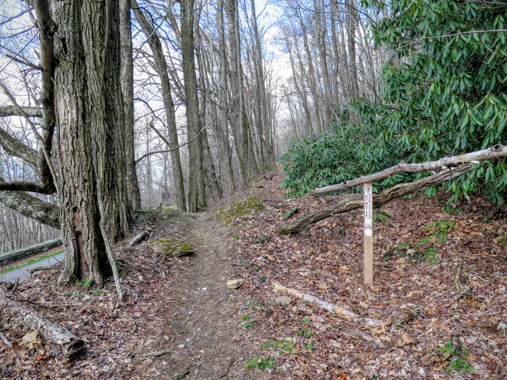
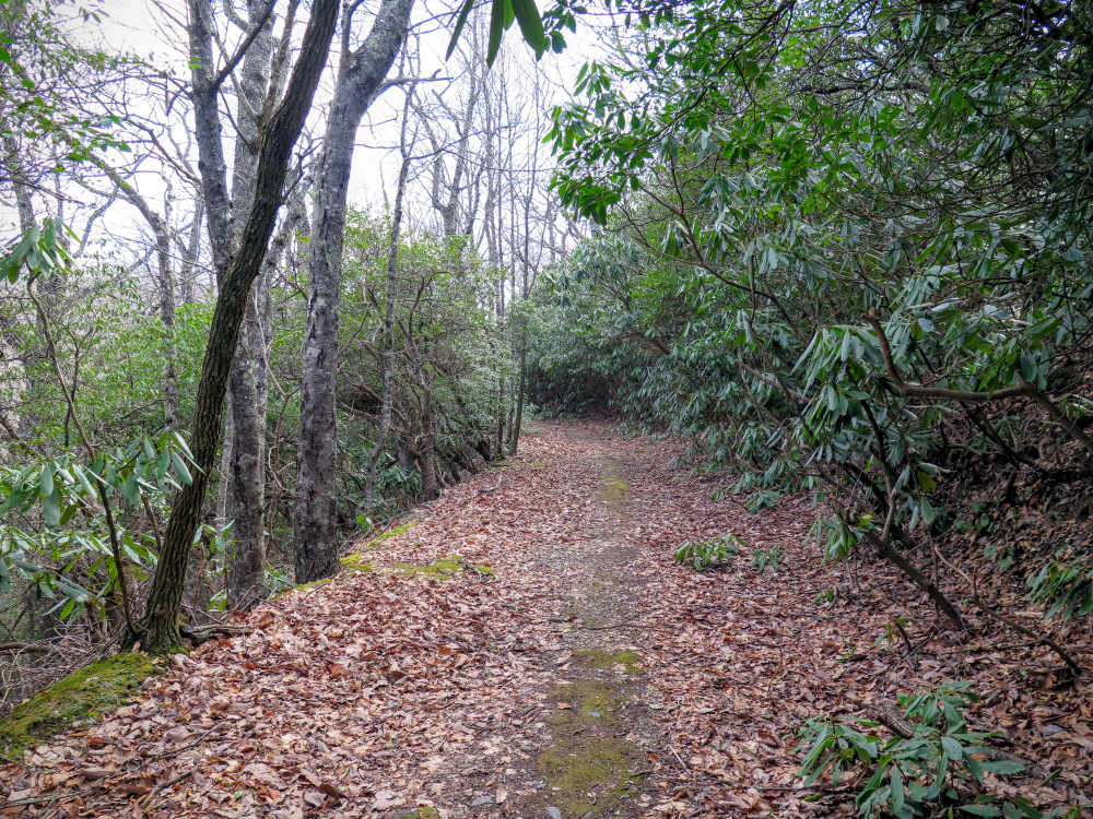
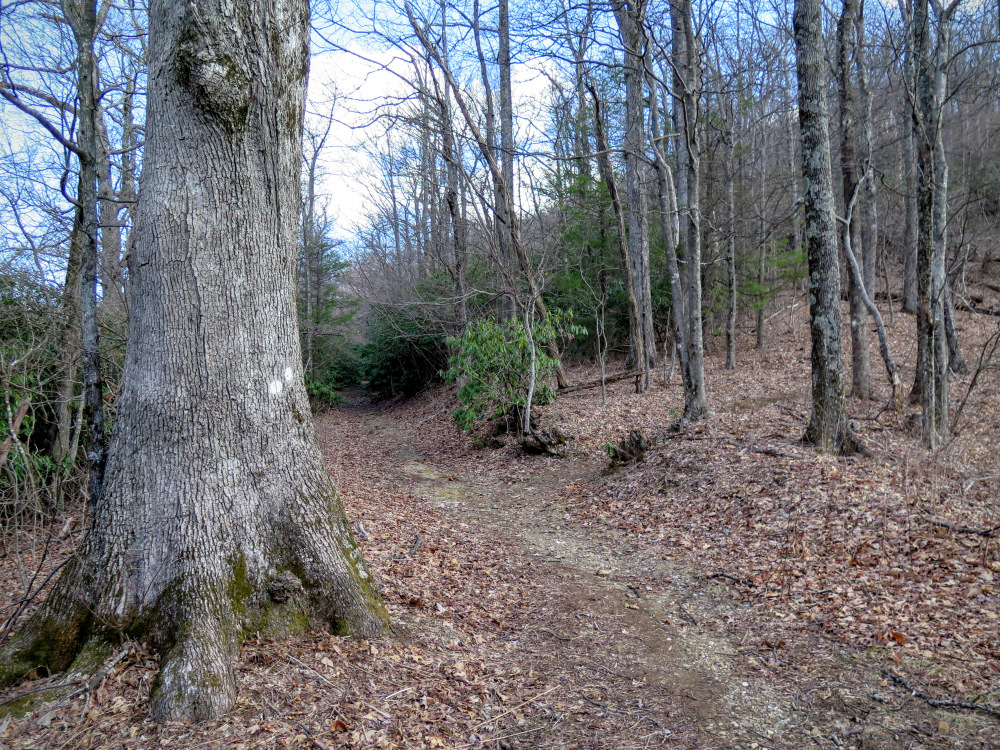
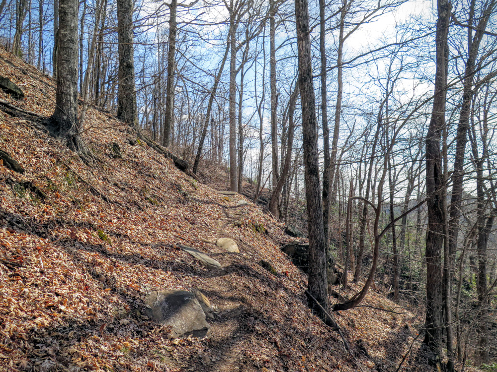
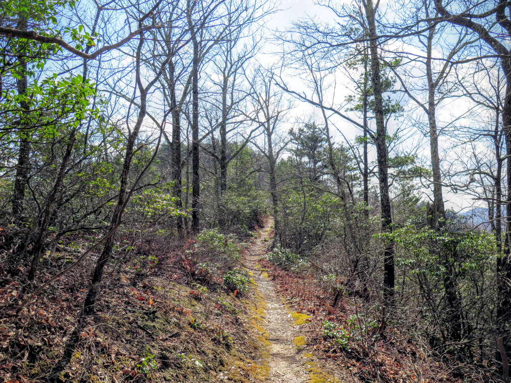
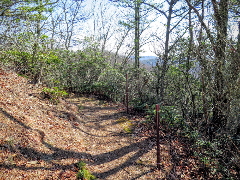
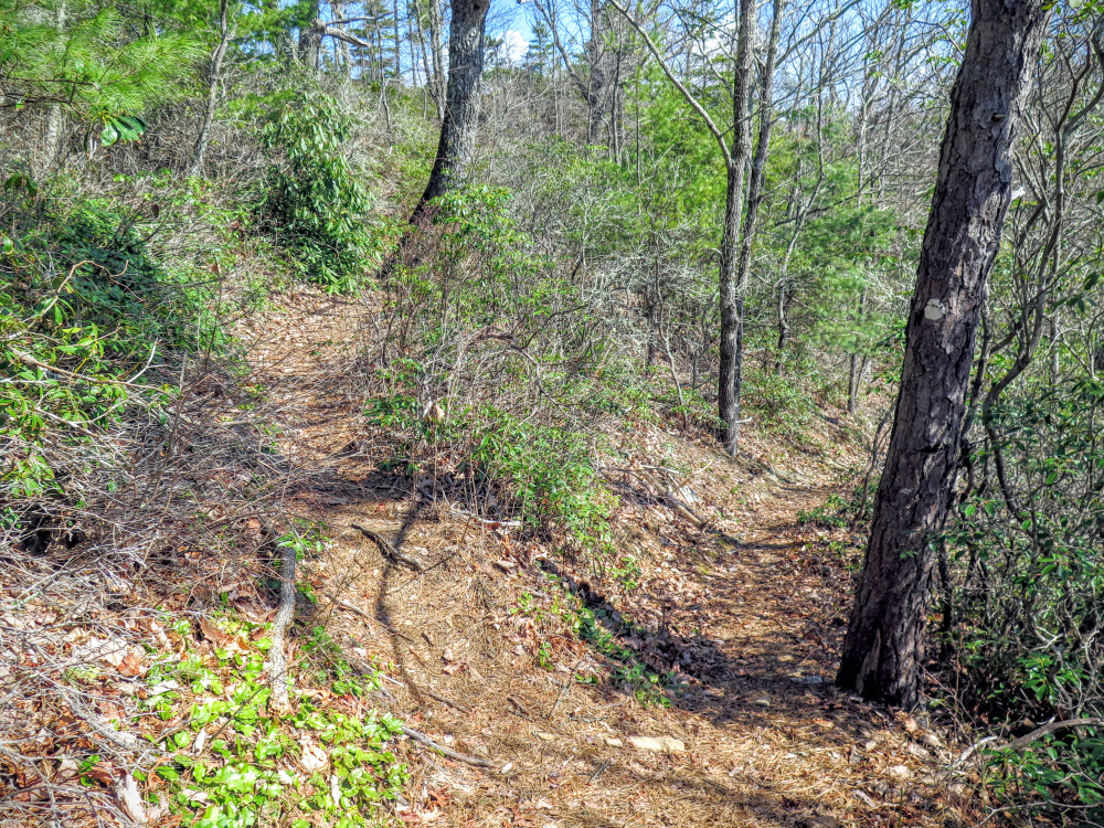
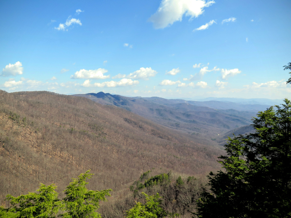
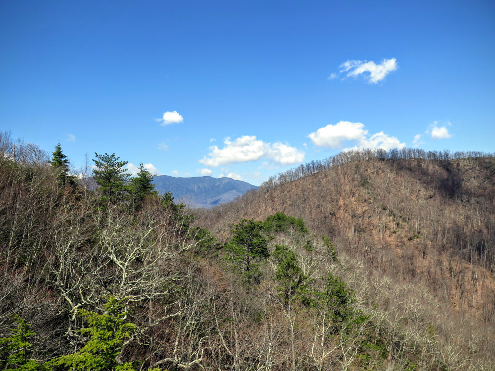
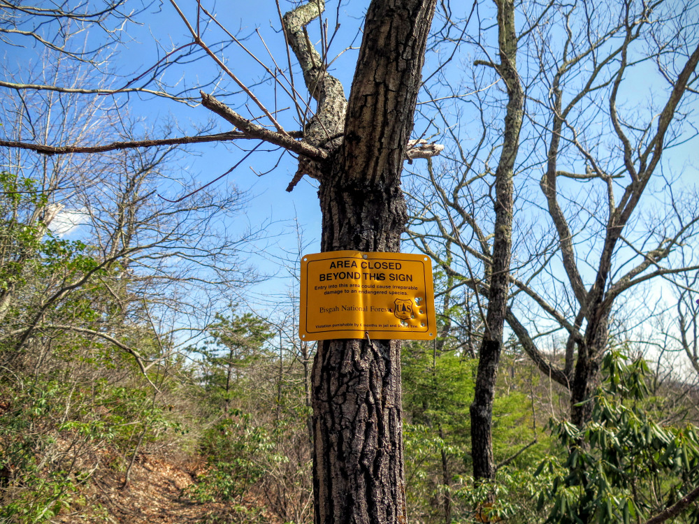
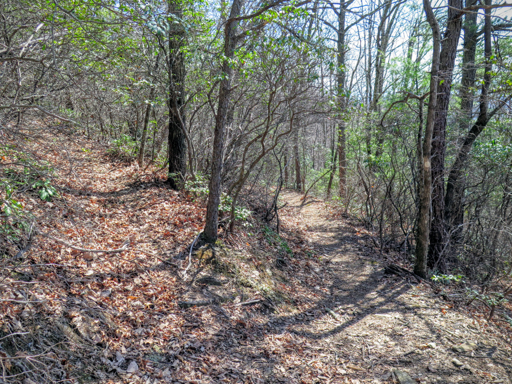
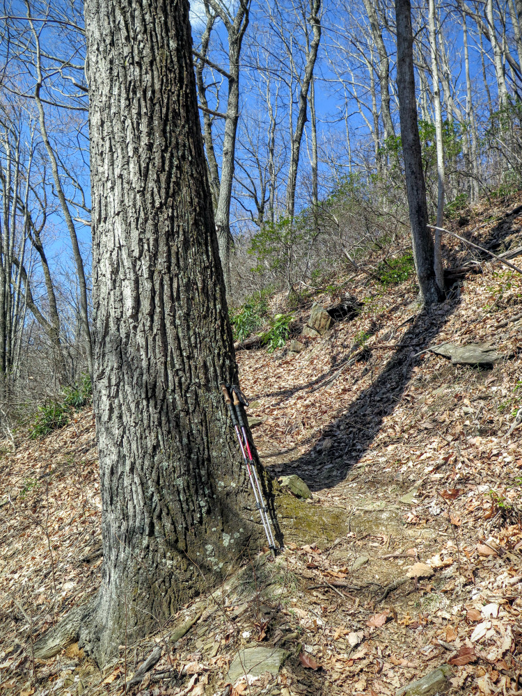
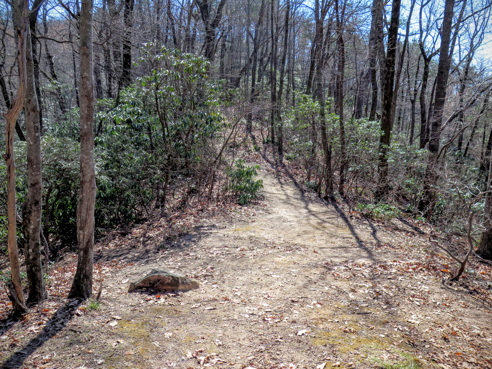
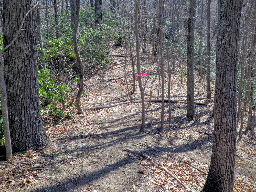
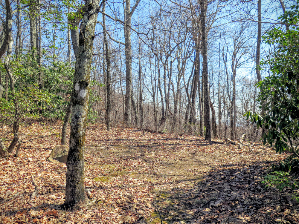
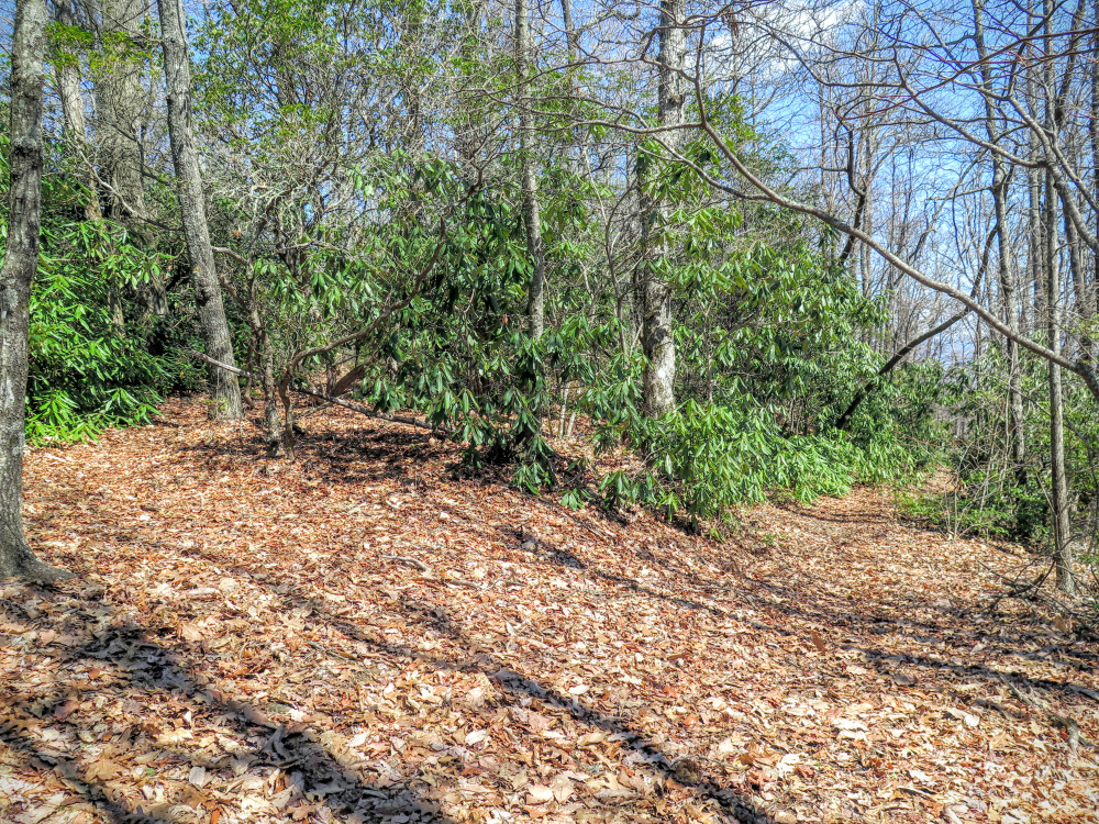
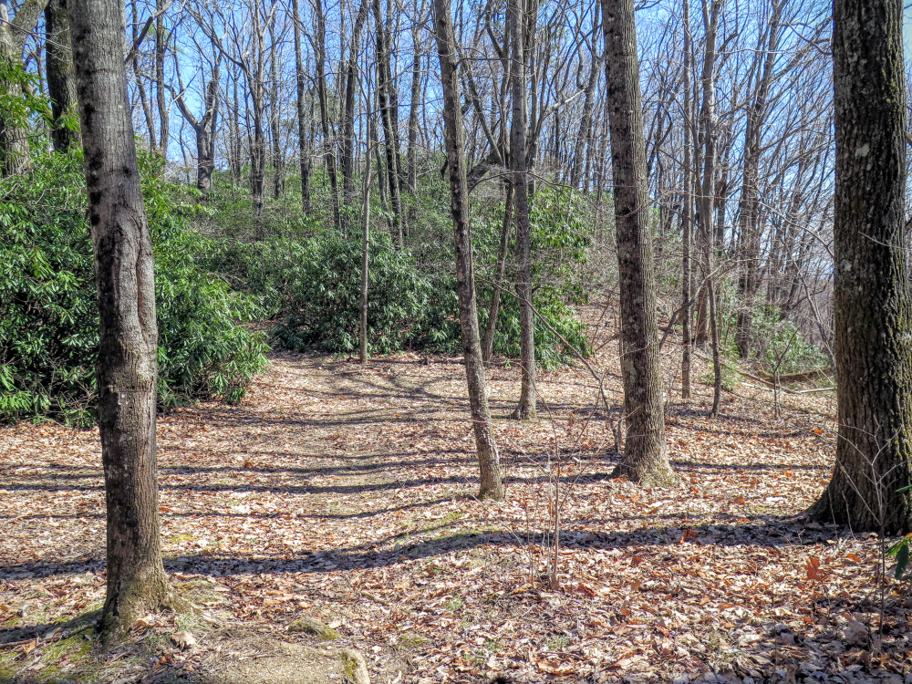
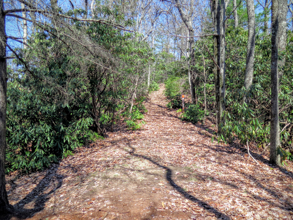
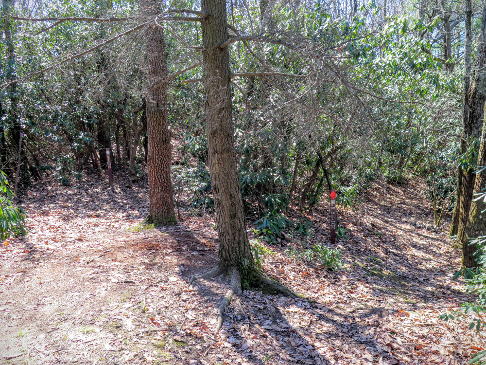
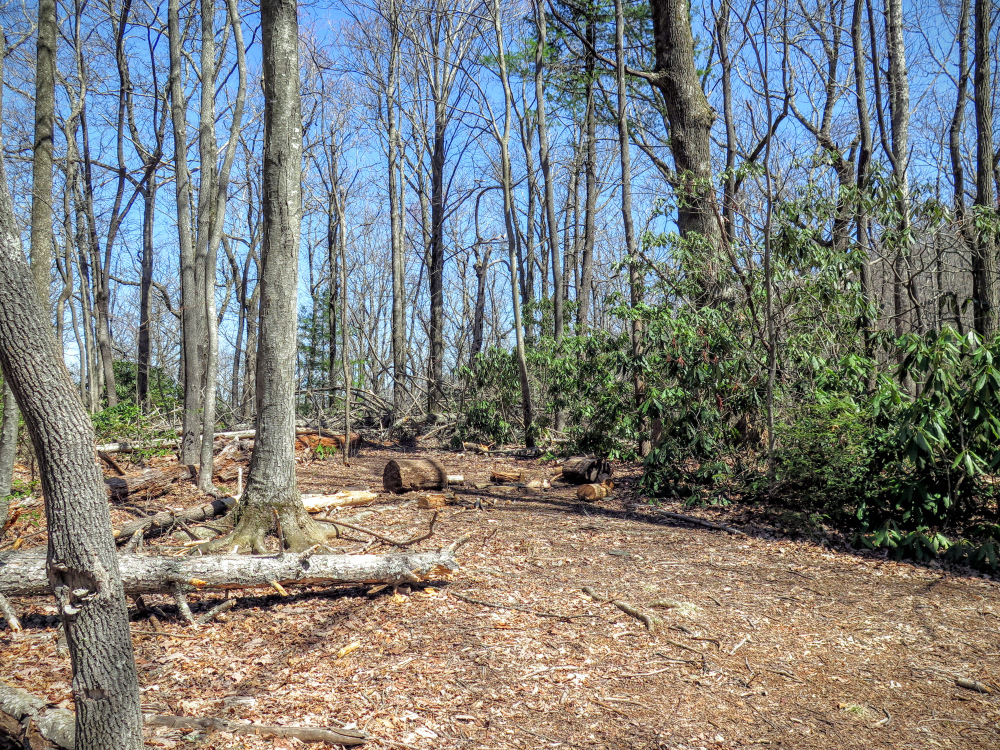
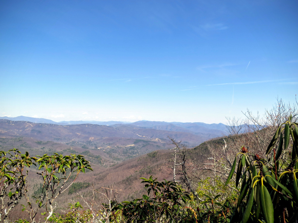
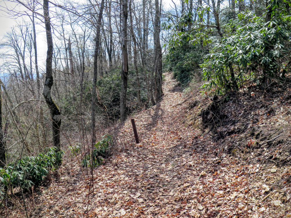
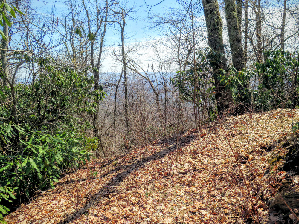
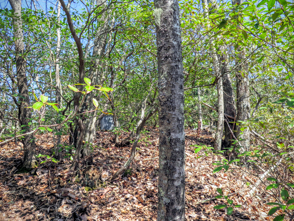
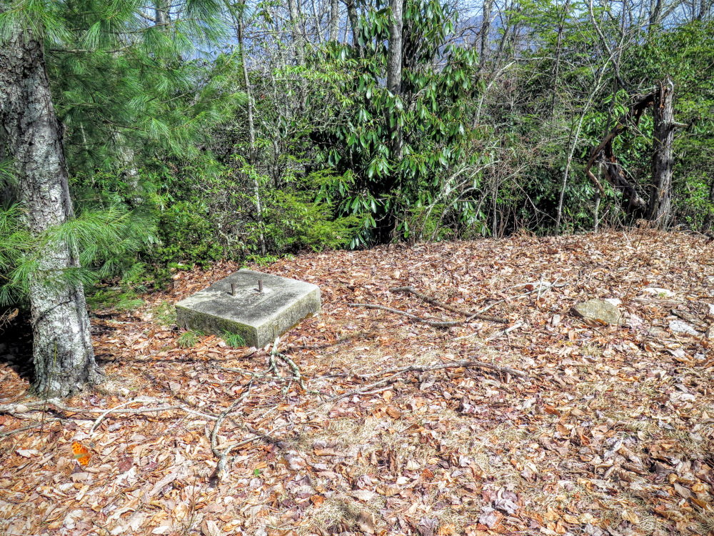
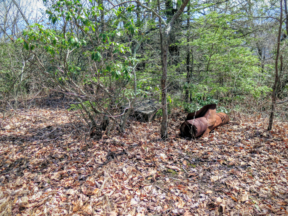
Take a trek along a remote section of the Mountains-to-Sea Trail (MST) in Pisgah National Forest. The MST follows the Woods Mountain Trail for 6 miles along this east-west massif. Woods Mountain is part of the area that constitutes the first purchase of national forest lands established on the east coast. Even though this was the first tract of Pisgah National Forest, this vast area from Armstrong Creek southwest to Jarrett Creek has largely been neglected by the forest service and hikers over the years. Many of the original trails have been abandoned or maintained infrequently compared to other regions. Much of this section has been designated an Inventoried Roadless Area and is being considered for Wilderness designation. It sure feels like wilderness when you leave the Blue Ridge Parkway on the Mountains-to-Sea Trail and follow the Woods Mountain Trail east. If not for the MST designation and blazes, one could get easily lost in this area since a vast network of forgotten trails crisscross the ridgelines. Casual hikers may want to check out the incredible view of the Armstrong Creek Valley 1.4 miles in and turn around. Beyond this view is a series of up-and-downs heading towards the former fire tower on Woods Mountain that is suitable for fit hikers and trail runners to experience.


