|
| Length |
Difficulty |
Streams |
Views |
Solitude |
Camping |
| 10.9 mls |
 |
N/A |
 |
|
 |
Hiking
Time:
Elev. Gain:
Resources: |
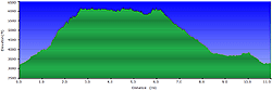
7 hours and 30 minutes with 1 hour and 30 minutes of breaks
3,905 ft
 Topo Hike Trails Map (PDF) Topo Hike Trails Map (PDF)
Little Switzerland, NC Weather Forecast
Garmin (GDB), Gaia/Trails App (GPX) (What's
this?)
3D View of Route |
 By Trail Contributor: Zach Robbins (Contact Zach) By Trail Contributor: Zach Robbins (Contact Zach)
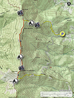
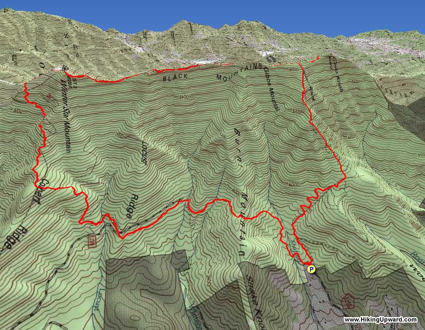
The Woody Ridge Trail is notorious as one of the steepest medium-length trails in North Carolina. From relative obscurity in the South Toe River Valley, the trail climbs approximately 2,900 feet in 2.6 miles to the high-altitude crest of the Black Mountains. It is a moderately difficult climb from the parking area, and only gets steeper as you keep ascending. The isolation and trail system of the Black Mountains make loop hikes challenging, but with a combination of the Colbert Ridge Trail and abandoned forest roads you can explore this area in a day without retracing your steps. Before you reach the crest, there are two excellent viewpoints on the Woody Ridge Trail above 5,000 feet in elevation. Once you reach the Black Mountain Crest Trail, you have a few options on how to continue the hike. We highly recommend turning north to the best viewpoint in the Black Mountains from Horse Rock Meadows below Celo Knob. This is a quick out-and-back of ≈1 mile packed with outstanding views of the Cane River Valley and the Black, Great Craggy, Great Balsam, Plott Balsam, Great Smoky, and Bald mountain ranges. The hike continues south, filled with more views on either side of Gibbs Mountain. Far below Winter Star Mountain, Deep Gap is the most popular camping area along the crest trail and a good stop for an overnight backpacking trip. From here you’ll descend the rocky Colbert Ridge Trail and then take a mix of abandoned trails and forests roads to close the loop. If the full length of the Black Mountain Crest Trail seems out of reach, this is a great alternative to see the highlights of the mountain range.
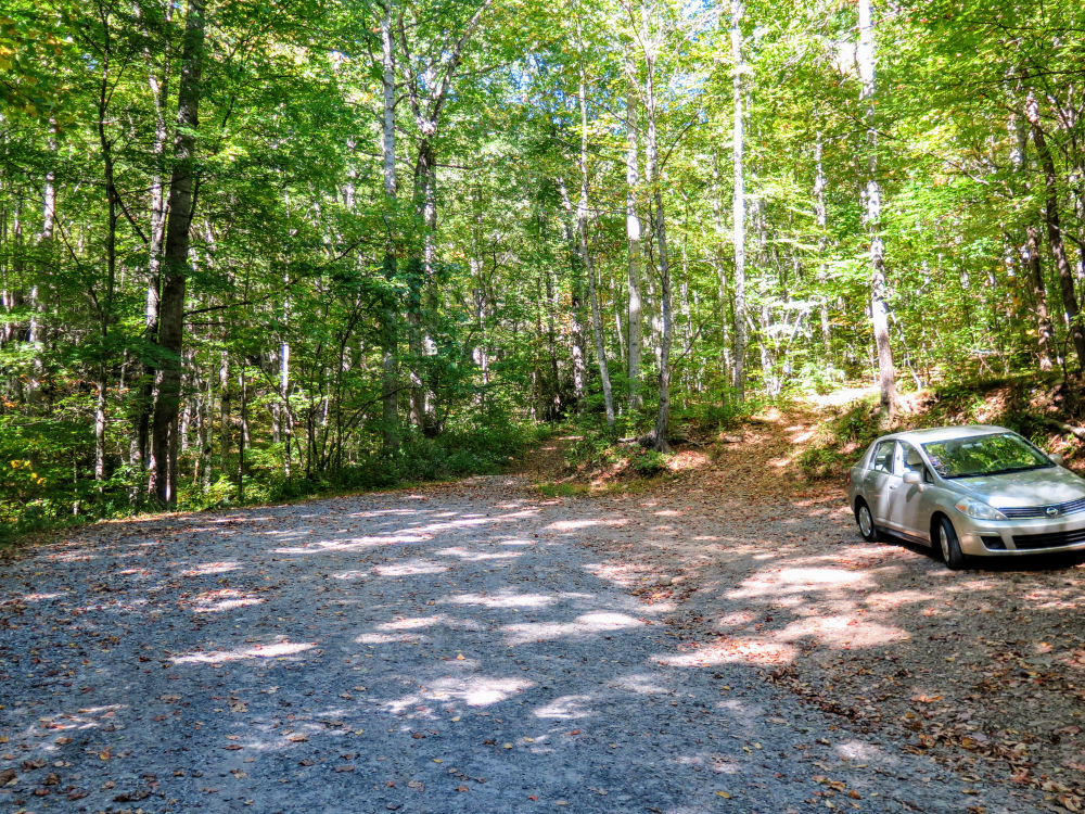
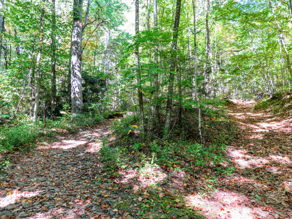
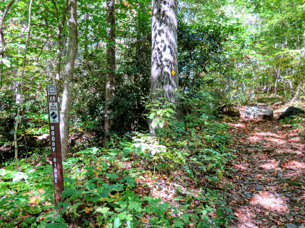
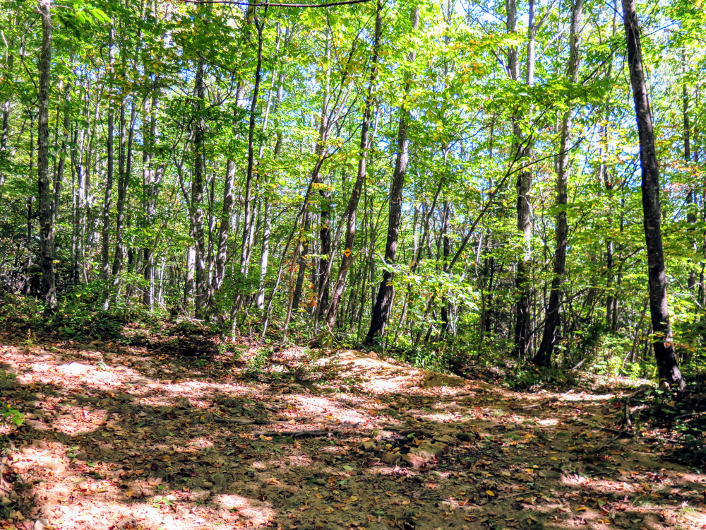
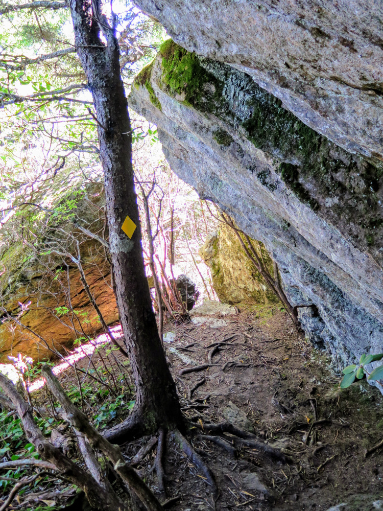
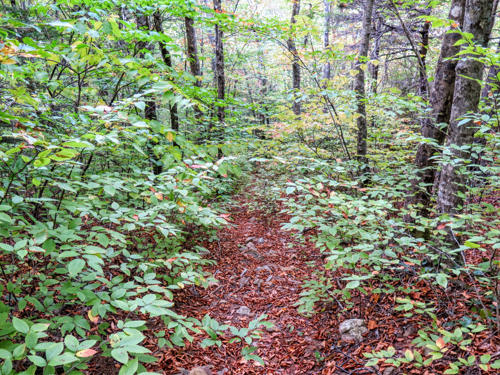
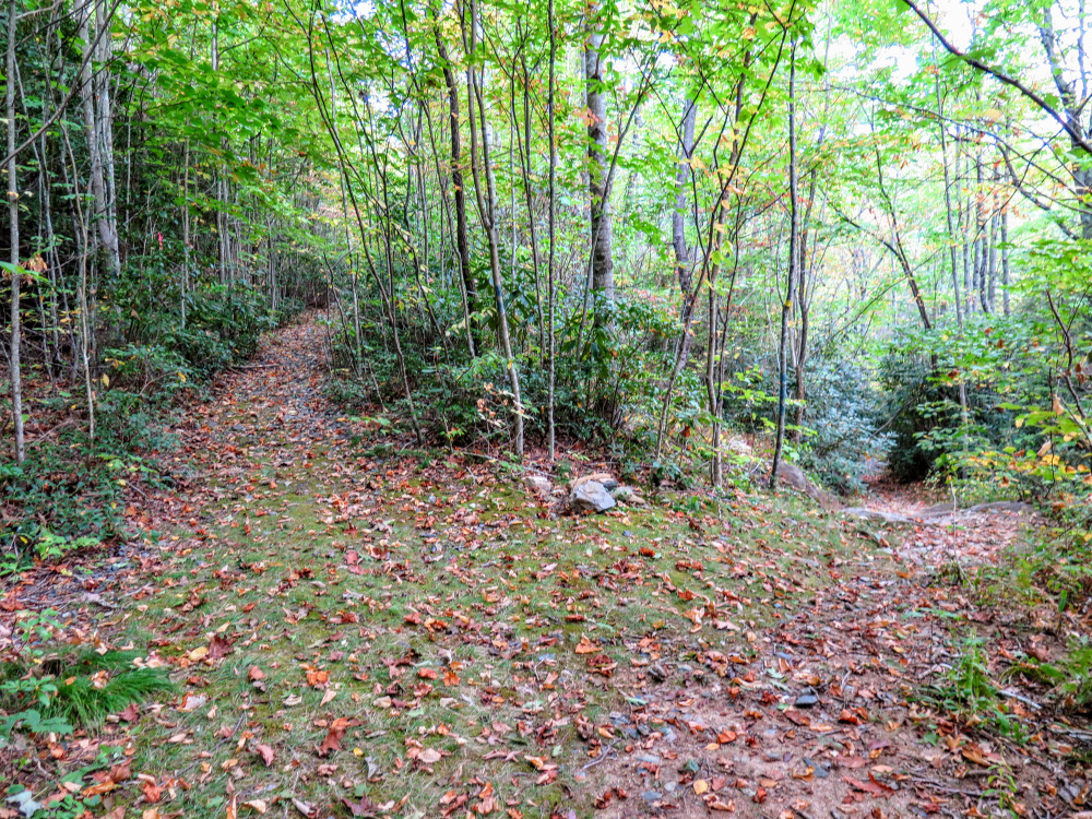
- Mile 0.0 – Shuford Creek Rd ends at the gravel parking area for the Woody Ridge Trail. An unmarked forest road splits right at the trailhead. Follow the Woody Ridge Trail [177] (yellow blaze), immediately passing a gate and an unmarked trail on the left (your return route).
- Mile 0.25 – The trail makes a left turn away from an obvious, unmarked forest road on the right.
- Mile 1.0 – Pass the last reliable spring beside the Woody Ridge Trail, then make a left turn in less than 100 feet at a junction with an unmarked forest road on the right.
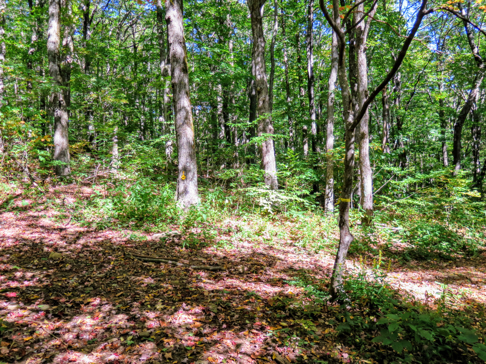
- Mile 1.2 – At a T-junction in a clearing with an island tree, turn left. An unmarked forest road heads right.
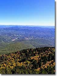
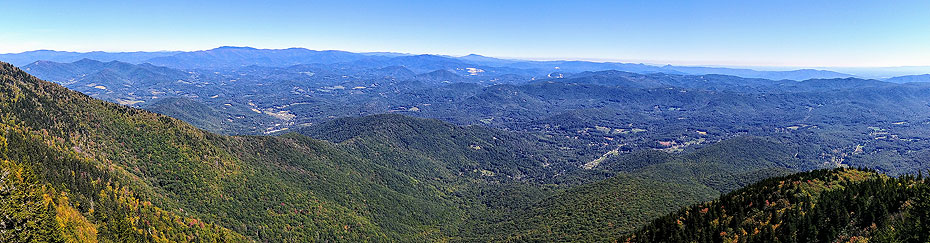
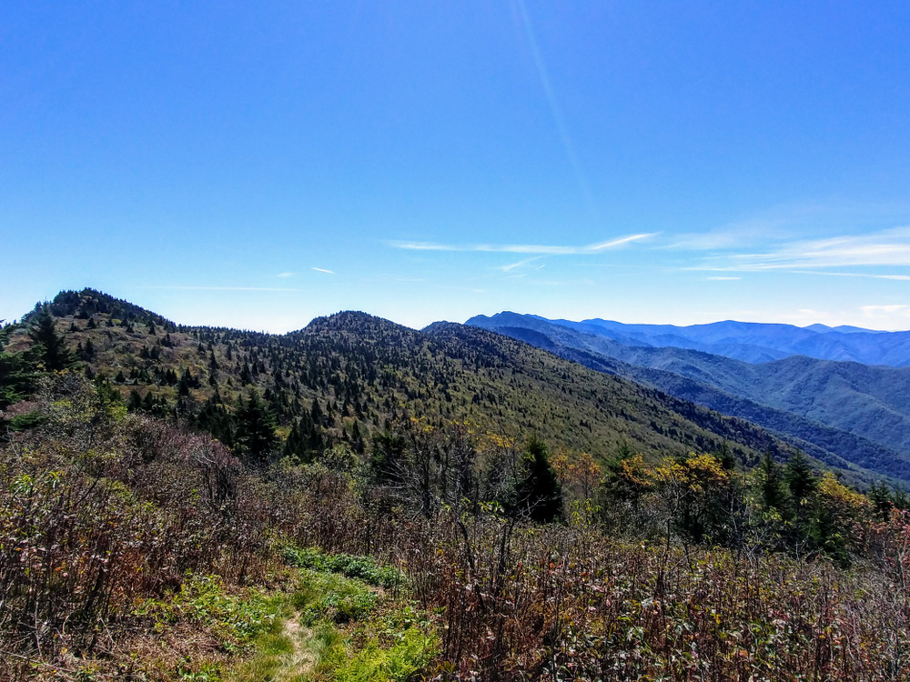
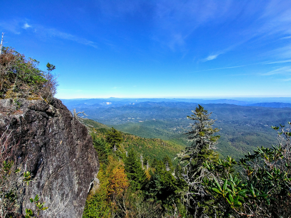
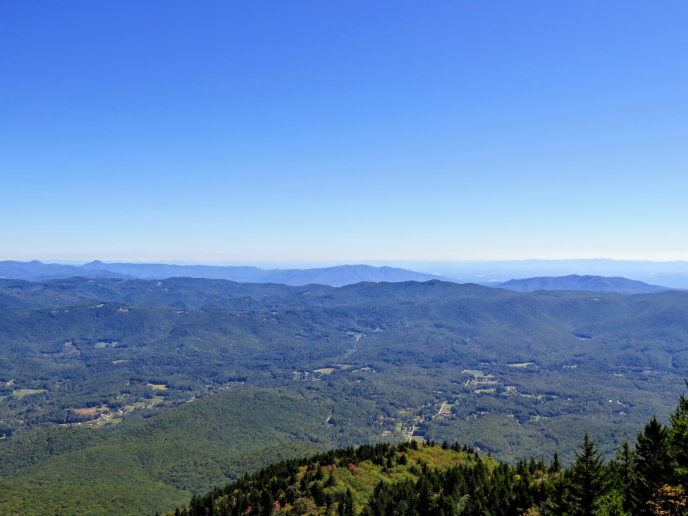
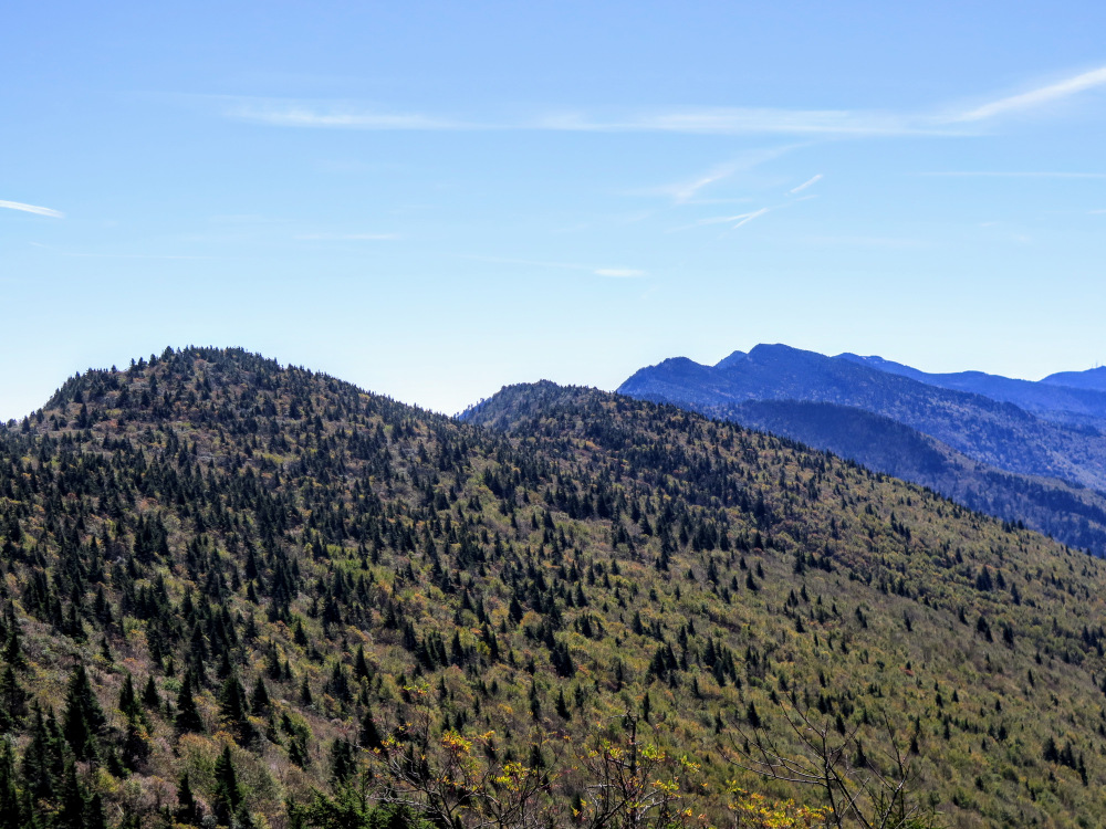
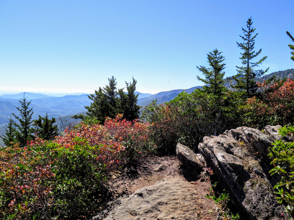
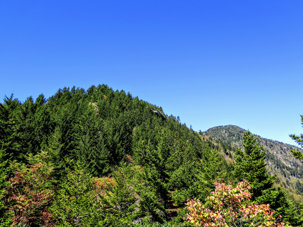
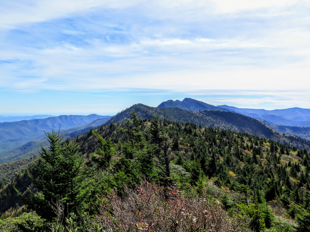
- Mile 2.0 – Reach the lower view on the Woody Ridge Trail, a flat series of rocks with somewhat open views north and south. Just up ahead to the west are Horse Rock and Celo Knob.
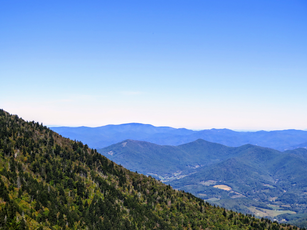
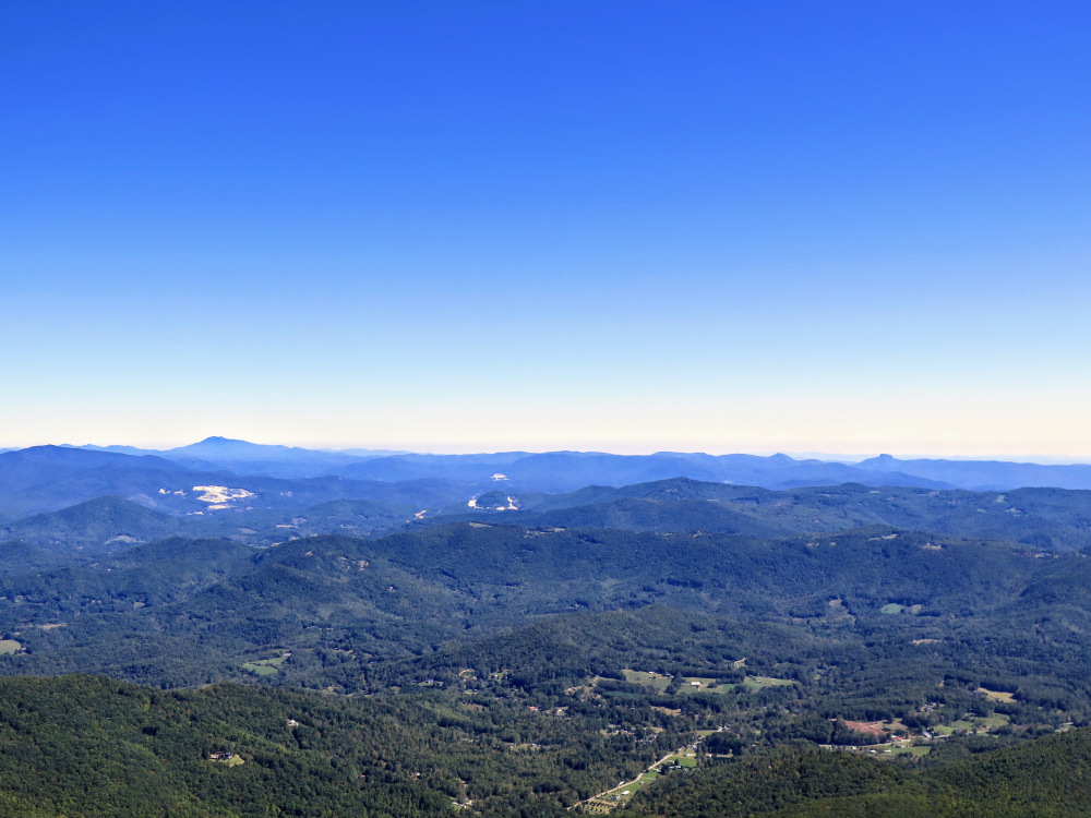
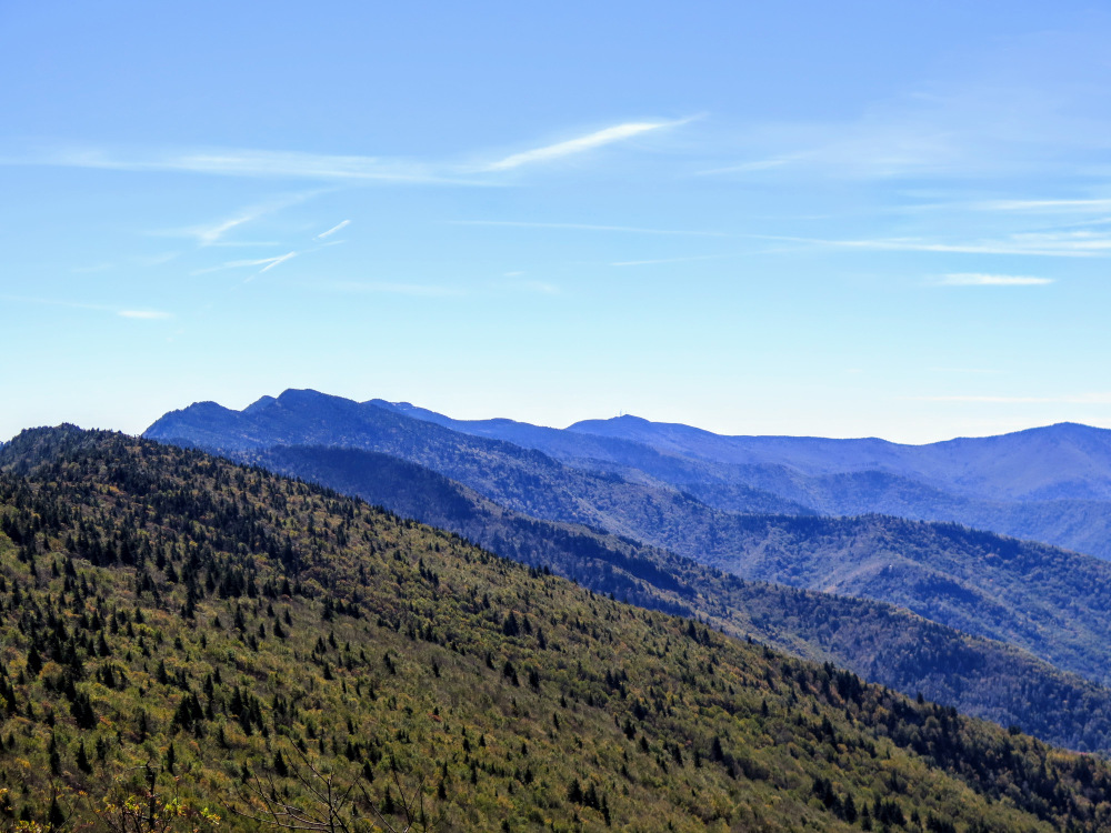
- Mile 2.2 – The trail passes over an abrupt northeast-facing cliff, known as Horse Rock. From here you have outstanding views from north to east. Due north is the broad Unaka Mountain. To the right are the massive Roan Highlands. The craggy peak on the left is Roan High Knob and the largest peak on the right is Grassy Ridge Bald. The dominant peak in the northeast is Grandfather Mountain. On the left side of Grandfather Mountain are the numerous pointy summits of the Amphibolite Mountains. The notable peaks of Linville Gorge rise due east. The broad profile of Dobson Knob and Bald Knob rise above the southern end of Linville Gorge.
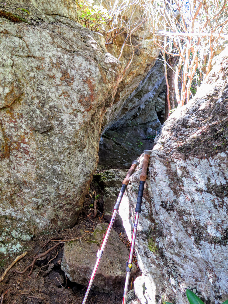
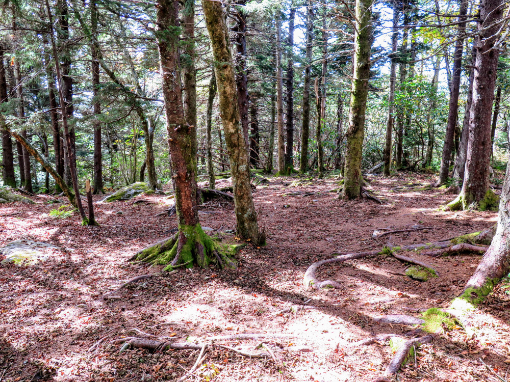
- Mile 2.3 – After Horse Rock the trail passes between and underneath impressive boulders. A small campsite is located on the left side of the trail.
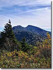
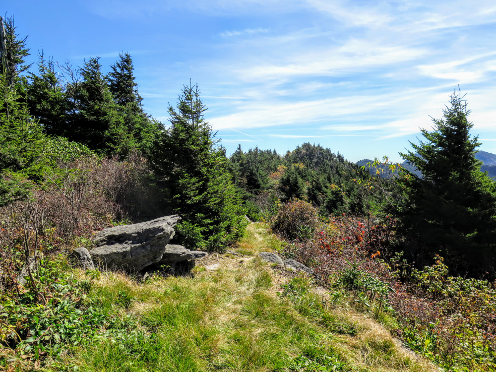
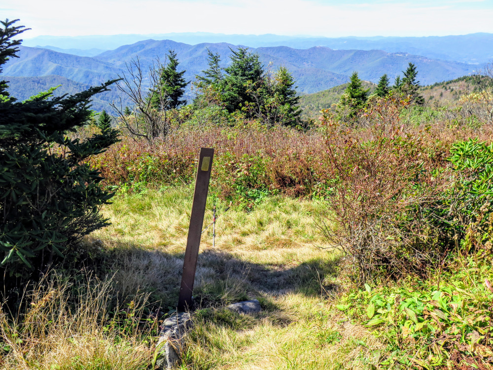
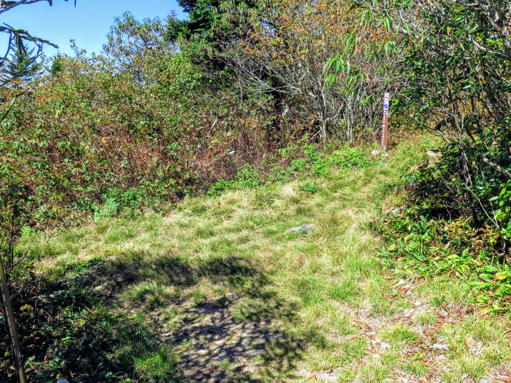
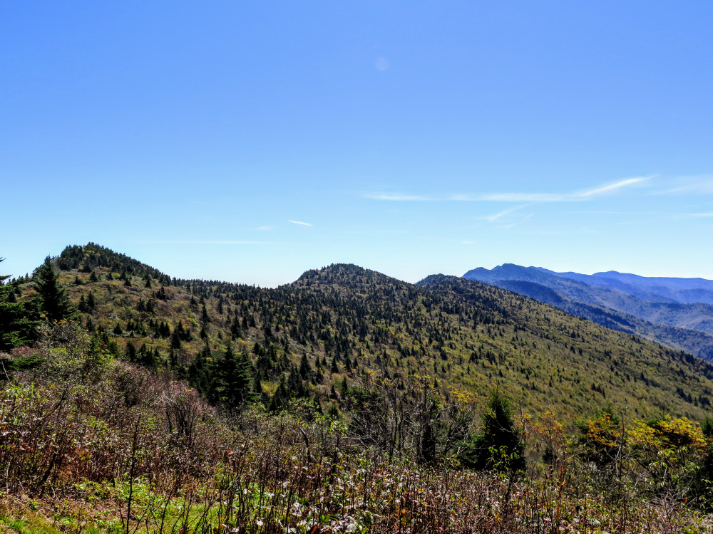
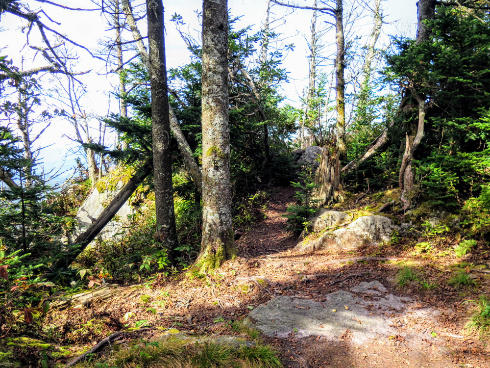
- Mile 2.7 – The Woody Ridge Trail ends at a T-junction with the Black Mountain Crest Trail [179] (yellow blaze). Turn right heading north on the grassy forest road path. After you round Percys Peak you’ll have a great view of Celo Knob up ahead.
- Mile 3.0 – Y-junction with an unmarked forest road on the left. Continue north and at a left turn an obvious side path heads right into the forest towards a campsite. This is also the manway used to summit Celo Knob (6,327 feet).
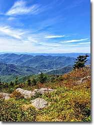
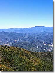
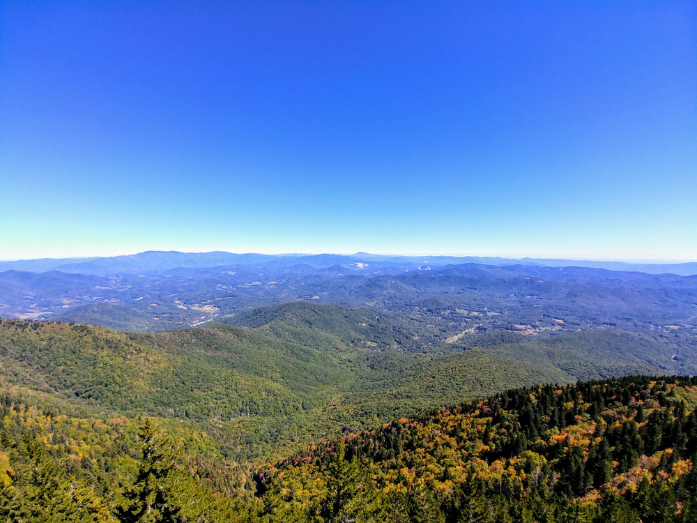
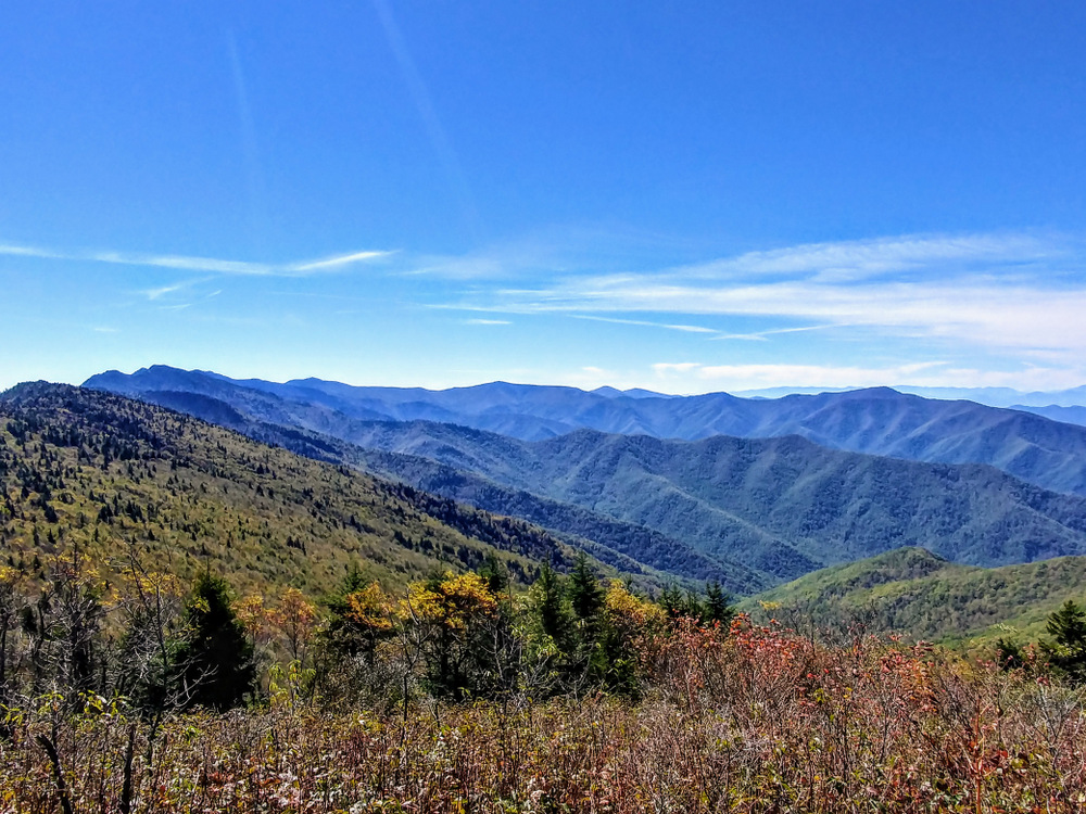
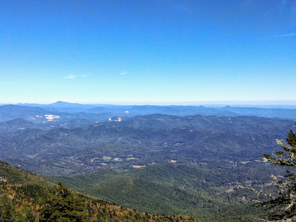
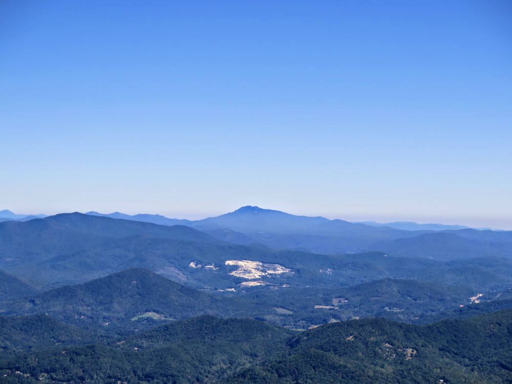
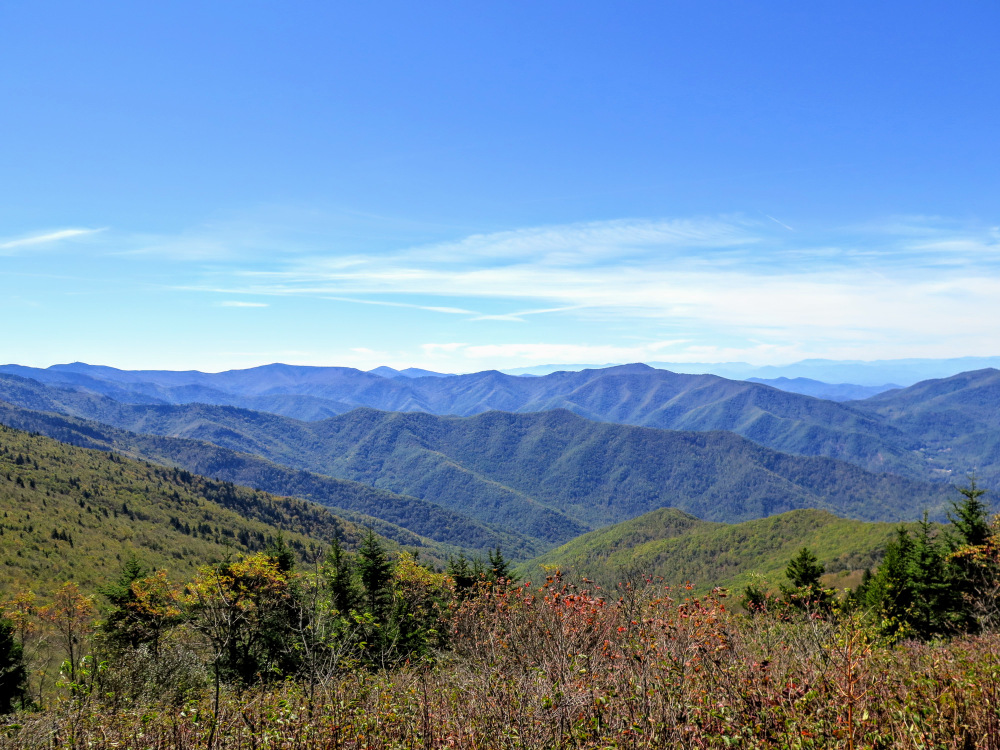
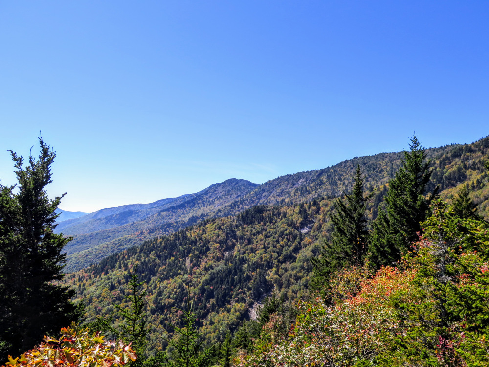
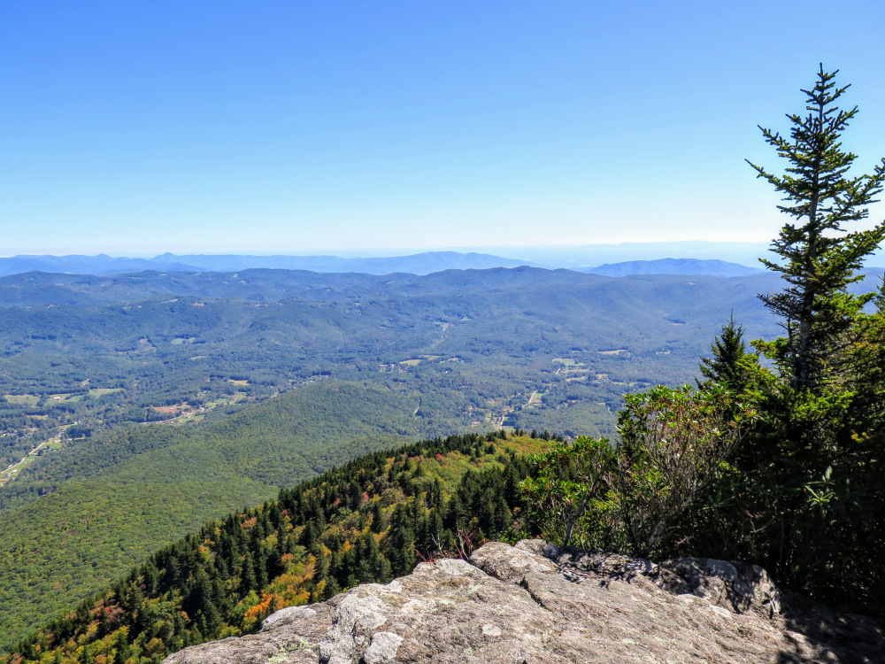
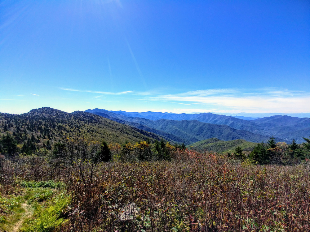
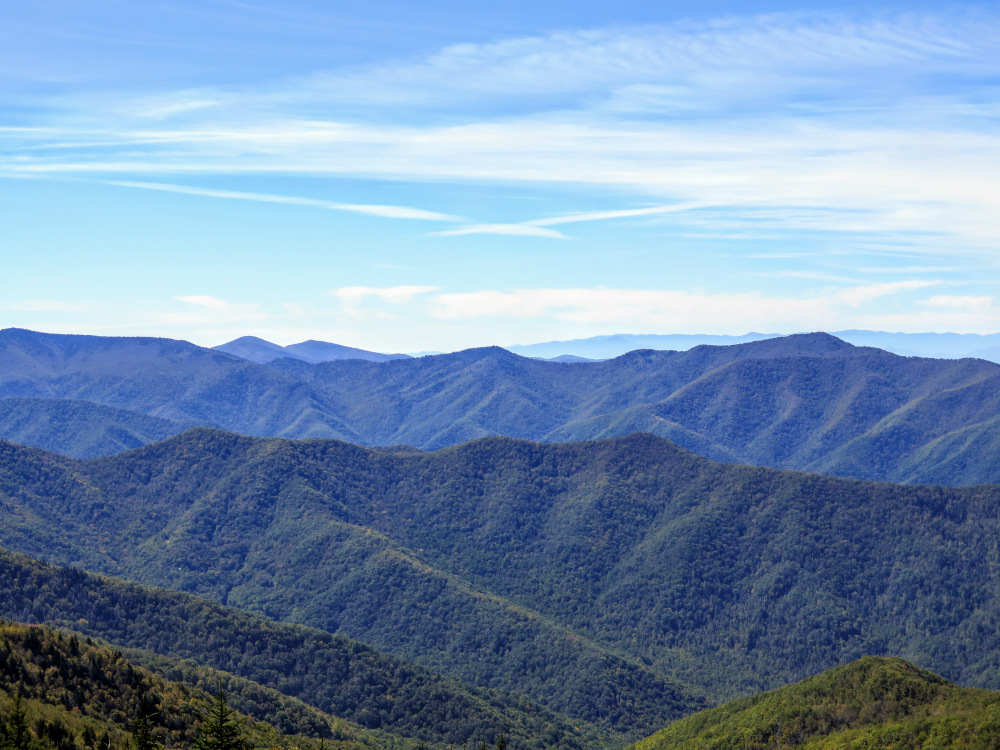
- Mile 3.1 – Turnaround point at the edge of Horse Rock Meadows, the best view from the Black Mountain Crest Trail. From south to west you have wide open views of the Black, Great Craggy, Great Balsam, Plott Balsam, Great Smoky, and Bald mountain ranges. Immediately south you can trace the trail snaking beside Percys Peak, Gibbs Mountain, and Winter Star Mountain. Further south, the rugged central Blacks tower over the region. The cluster of Potato Hill, Cattail Peak, and Balsam Cone rise high above Deep Gap. The furthest peak south with communication towers is Clingmans Peak. The Black Mountains curve around the deep, remote watershed of the Cane River. Blackstock Knob, Point Misery, and Big Butt are the largest peaks of the southwestern Black Mountains across the Cane River Valley. Immediately behind Point Misery are Craggy Dome and Craggy Pinnacle, the tallest peaks in the Great Craggy Mountains. Further behind on the right are the Great Balsam Mountains and Plott Balsam Mountains divided by Balsam Gap. Towards the west, the Pigeon River divides the Great Smoky Mountains and Bald Mountains with the Newfound Mountains in the foreground. The most notable peaks are Mount Guyot, Mount Sterling, Mount Cammerer, and Max Patch.
- Mile 3.6 – At the junction with the Woody Ridge Trail continue south on the Black Mountain Crest Trail.
- Mile 4.1 – Follow the west shoulder of Gibbs Mountain.
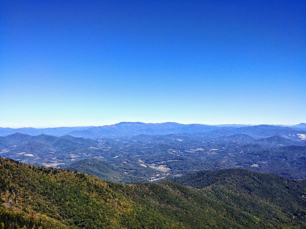
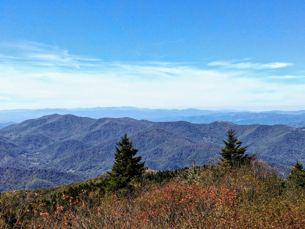
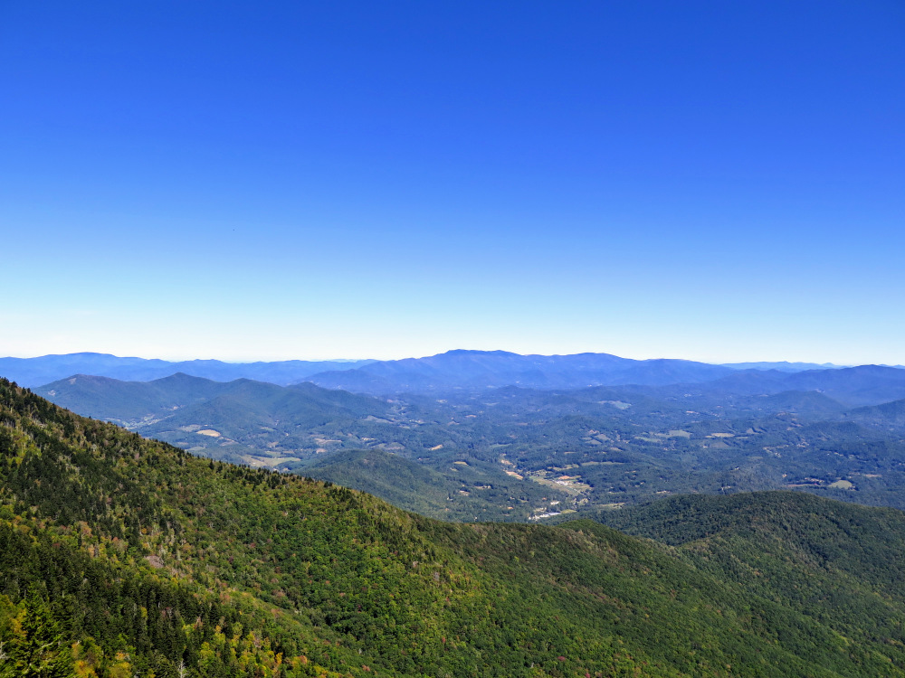
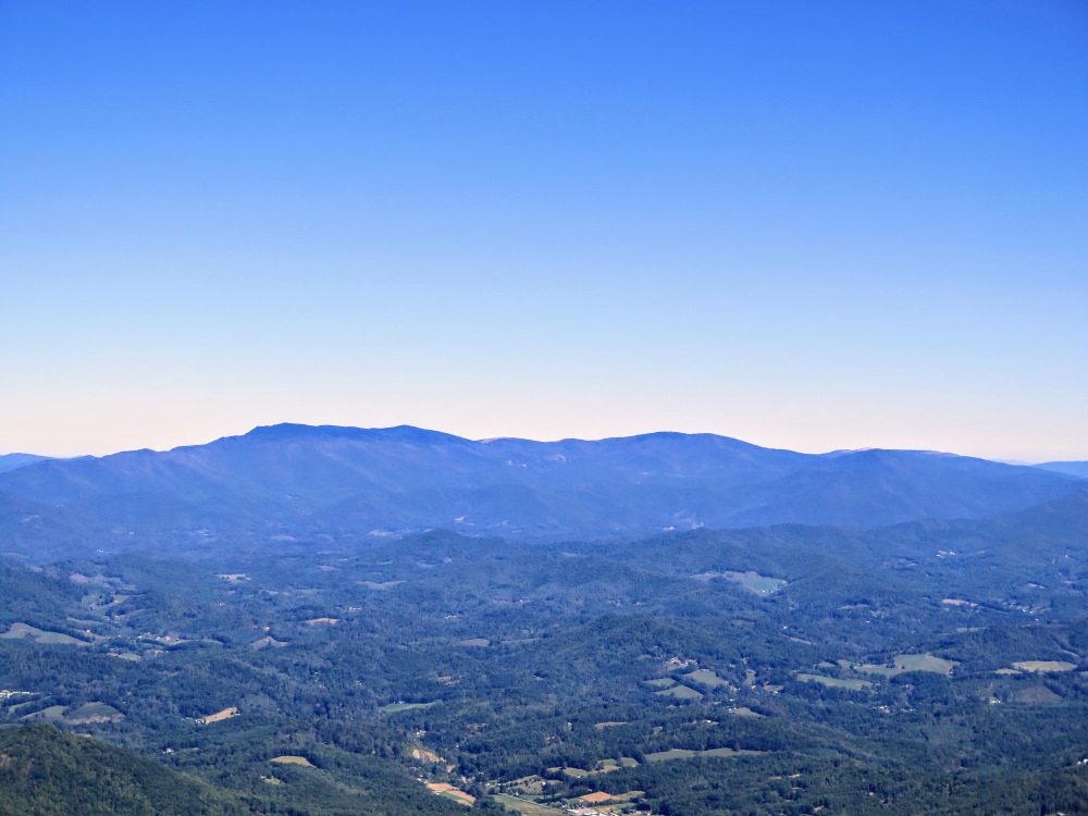
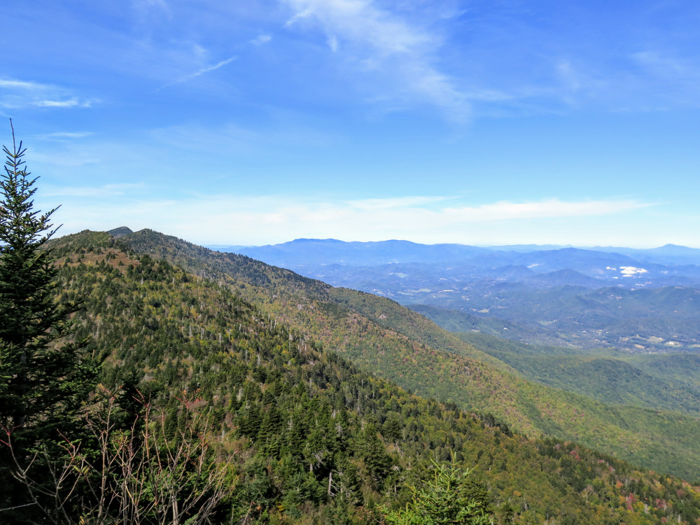
- Mile 4.5 – The trail passes by a small natural rock bench with open western views. Due west is Big Butt rising high above Cane River Gap. This spot unofficially marks the transition from a forest road grade to a rough, eroded footpath.
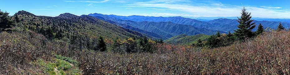
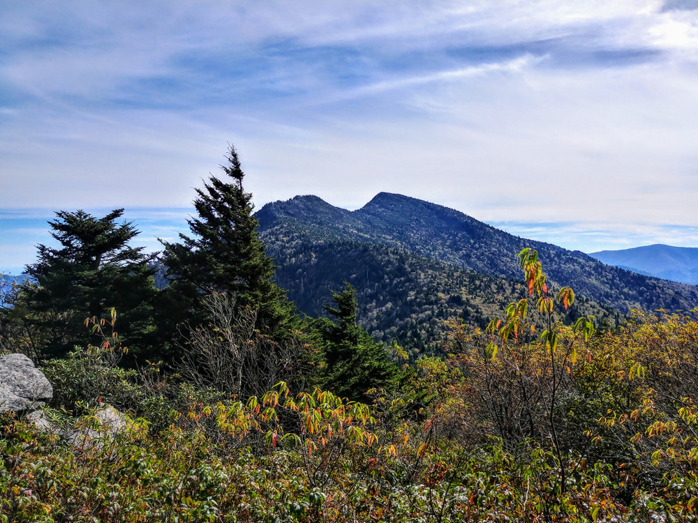
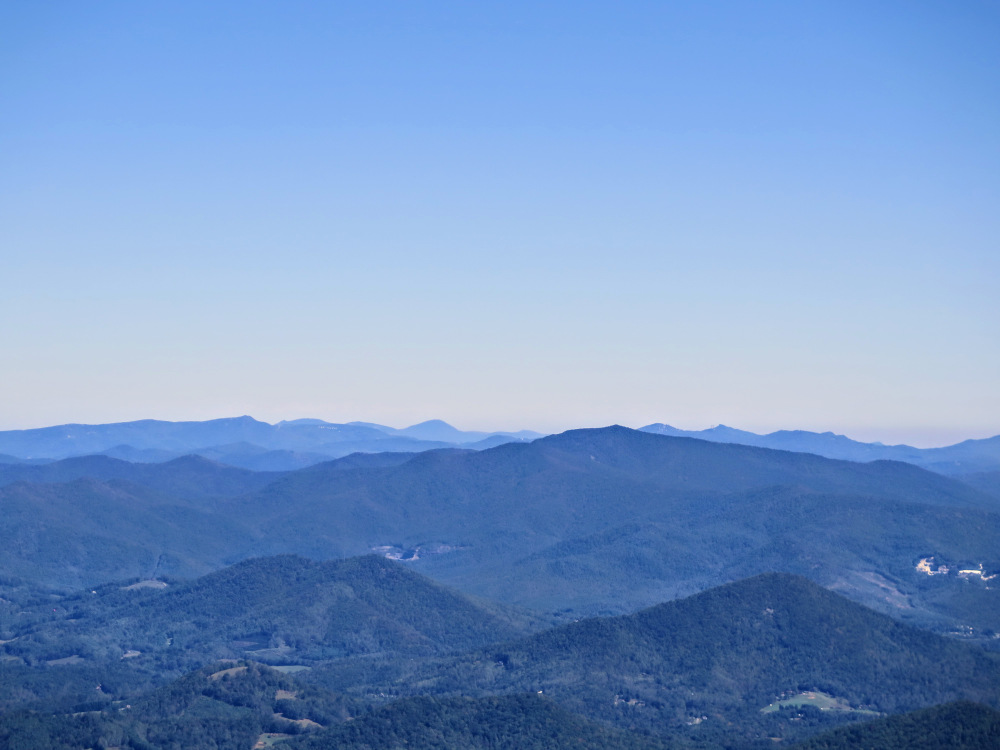
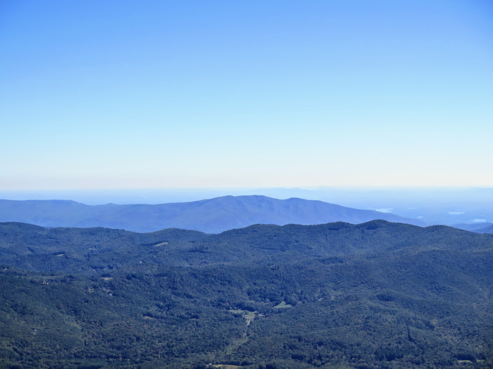
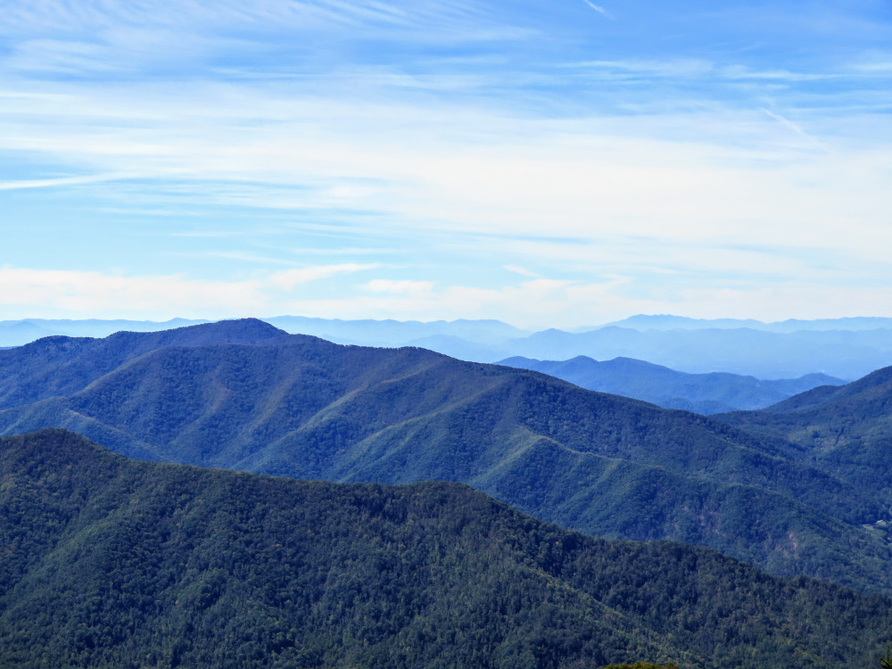
- Mile 4.9 – Crest two unnamed rocky knobs with outstanding views east, south, and west. Due south are the craggy summits of Winter Star Mountain, Potato Hill, Cattail Peak, and Balsam Cone in sequential order. Impressive 100+ foot cliffs on the east side of the trail afford views of Linville Gorge.
- Mile 5.3 – A nice campsite protected by fir and spruce is off to the right side of the trail. There is no water source near this location. From here the climb up Winter Star Mountain is alleviated by a newly reconstructed trail.
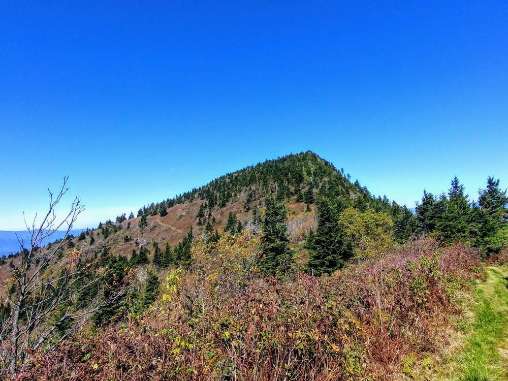
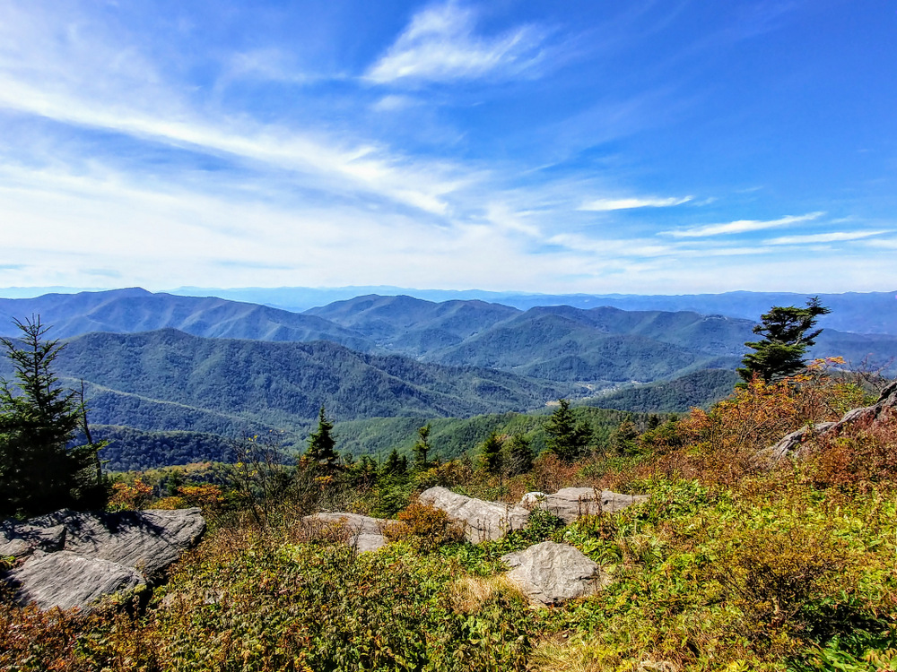
- Mile 5.85 – Northern view from the trail just below Winter Star Mountain.
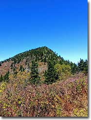
- Mile 6.0 – Cross the summit of Winter Star Mountain (6,203 feet). The summit marker is on the right side of the trail on rocks below dead trees. The steep descent from Winter Star Mountain features occasional southern views of the twin summits of Potato Hill and Cattail Peak rising 700+ feet above Deep Gap.
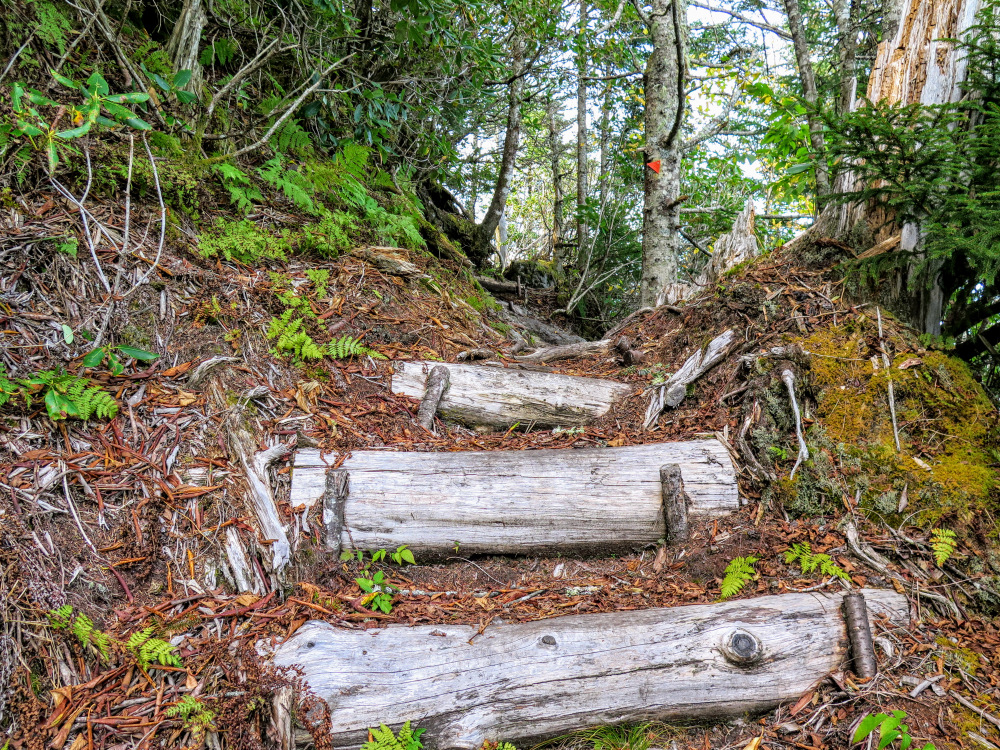
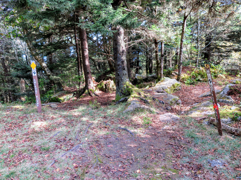
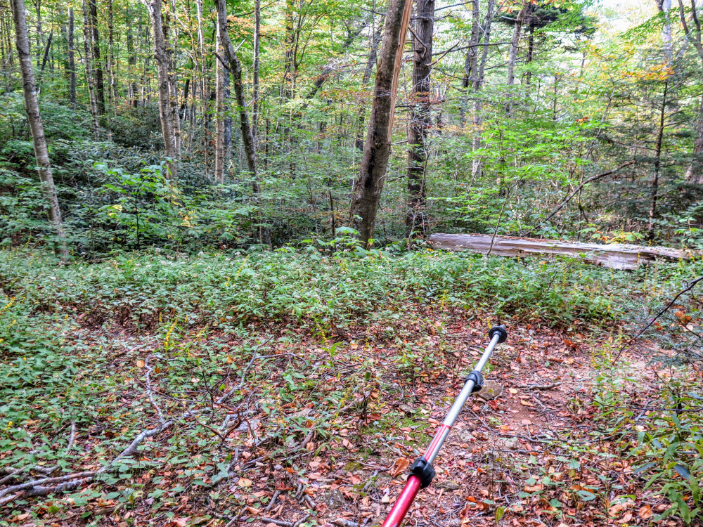
- Mile 6.4 – T-junction with the Colbert Ridge Trail at the beginning of Deep Gap. More campsites are located south around the lowest point of the gap. An unmarked forest road at the southern end of the gap heads southwest towards the best water source. Turn left on the Colbert Ridge Trail [178] (yellow blaze). While the Colbert Ridge Trail isn’t as steep as the Woody Ridge Trail, it is still one of the toughest trails in the region and arguably a more difficult hike. The next half-mile is incredibly rocky and uneven, pay close attention to your footing.
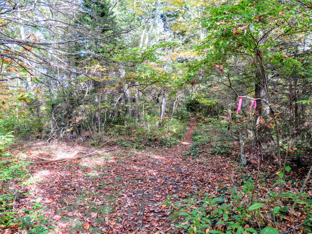
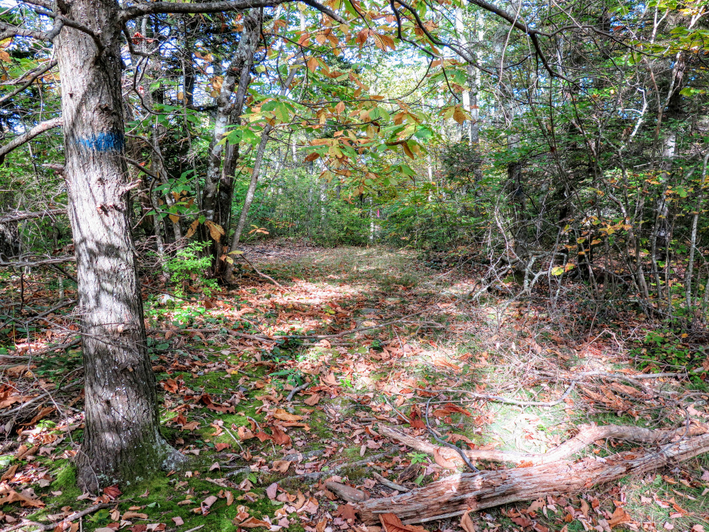
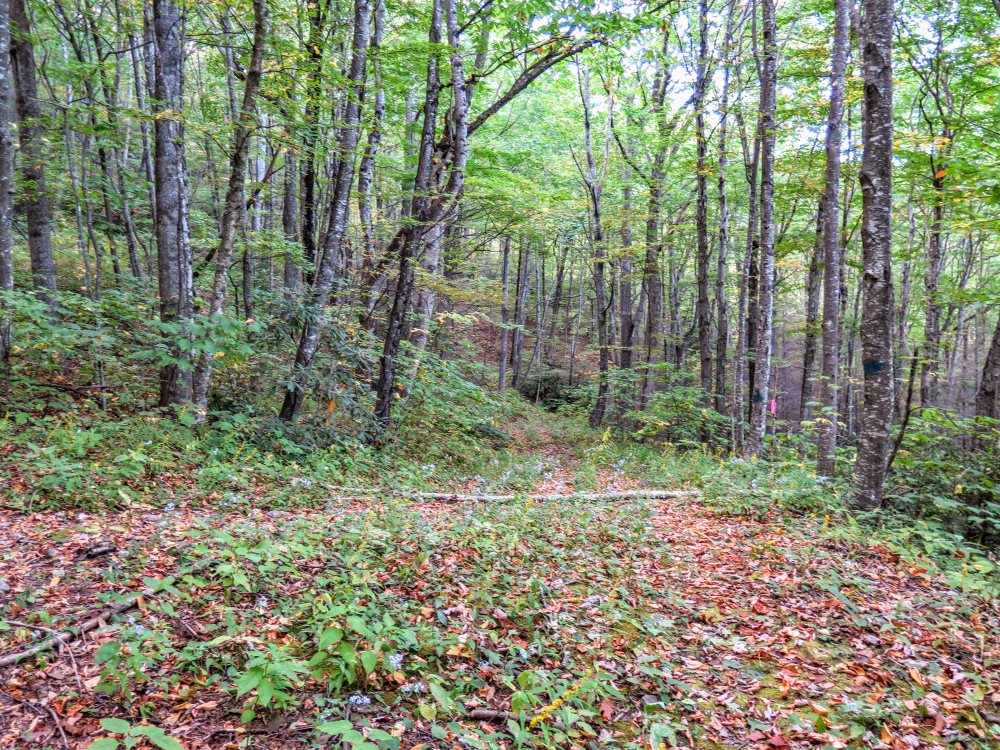
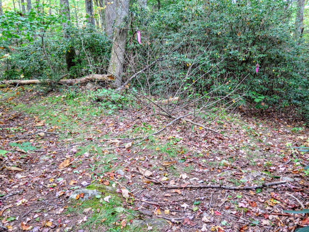
- Mile 7.7 – When the Colbert Ridge Trail levels out, look out for an obvious T-junction with a trail and campsite on the left. There is no sign, but this intersection is marked with flagging tape and blue blazes. This primitive trail is overgrown and steeply descends the ridge north to connect with FR 239.
- Mile 8.0 – Right U-turn with a heavily overgrown forest road heading up to the left.
- Mile 8.35 – Turn left following the obvious forest road. You will probably see flagging tape.
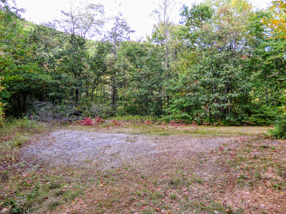
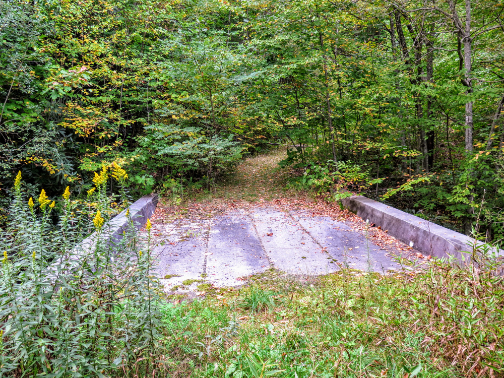
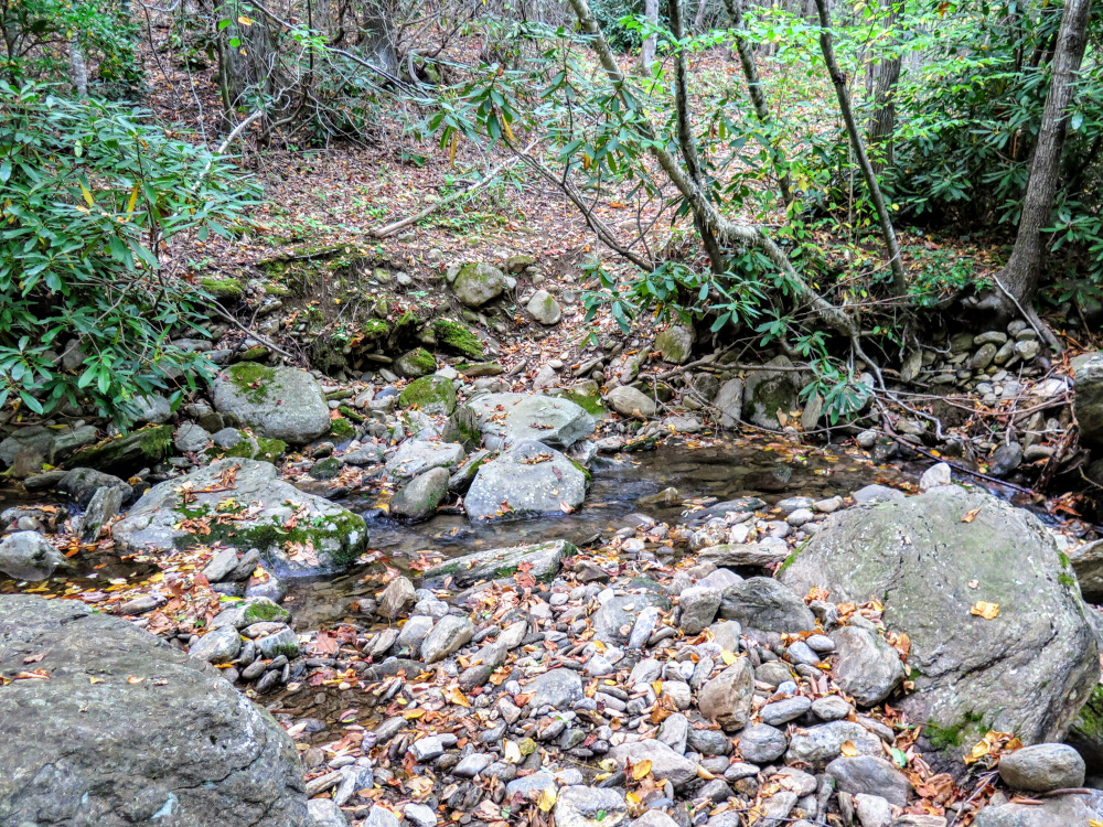
- Mile 8.5 – In a wide, gravel clearing, make a hard left onto FR 239. In 250 feet you’ll cross a concrete bridge over Locust Creek. Locust Creek Falls is located directly below the bridge. If you have time consider checking this out, the scramble path is not too difficult.
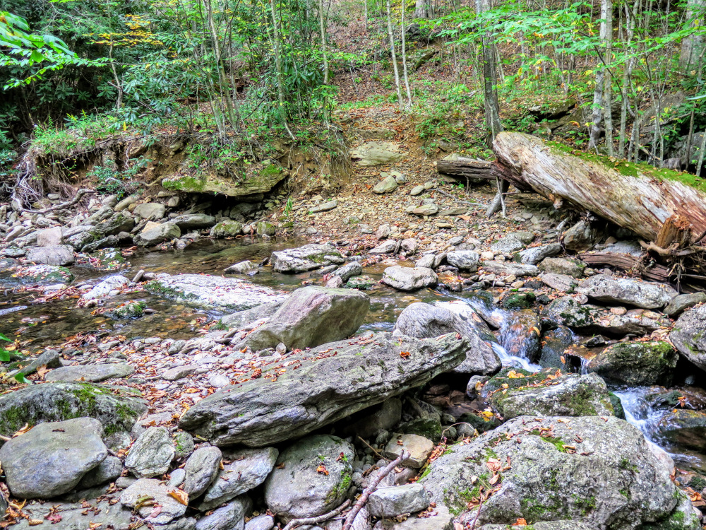
- Mile 9.35 – Rock hop Whiteoak Creek. After you cross the creek, stay left on FR 239 at a Y-split with an obvious trail on the right closely following the river-left side of the creek.
- Mile 10.0 – Soon after you crest the ridge of Burnt Mountain, you’ll turn right at a T-junction on a steep descent trail marked with flagging tape. An overgrown forest road continues northwest along the ridge. This primitive trail is overgrown and steeply descends the ridge north to connect with FR 239.
- Mile 10.4 – Turn right at a T-junction marked with flagging tape to parallel Shuford Creek.
- Mile 10.7 – Rock hop Shuford Creek.
- Mile 10.9 – Rejoin the Woody Ridge Trail, turn right, and finish the hike at the parking area.
|


