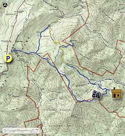
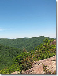
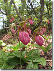
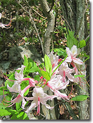
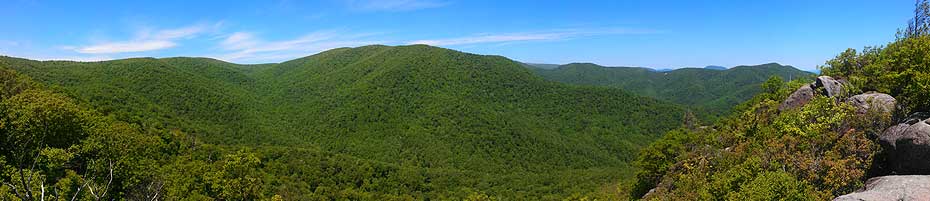
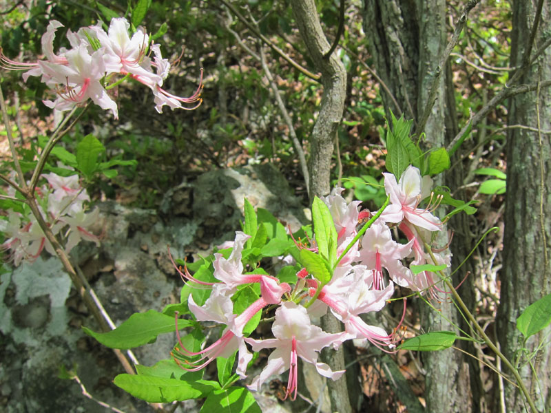
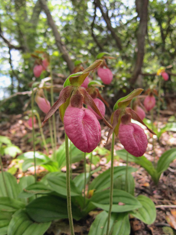
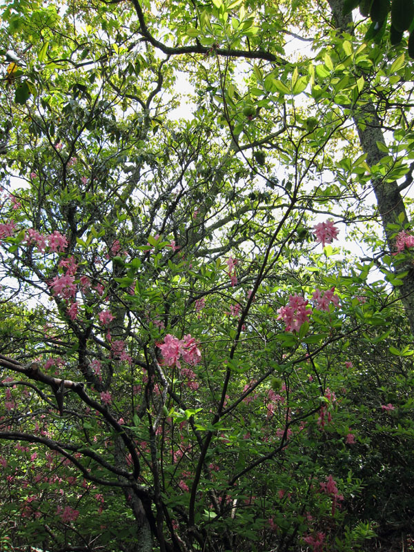
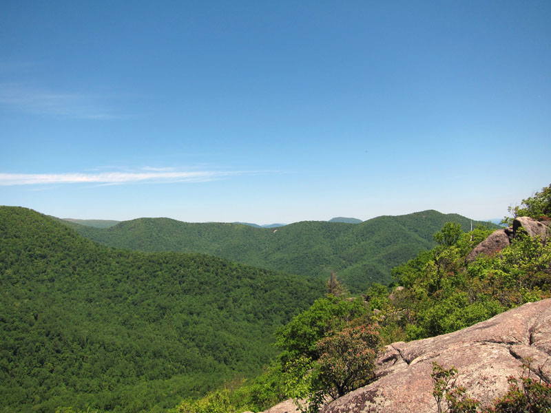
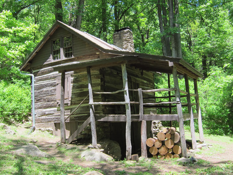
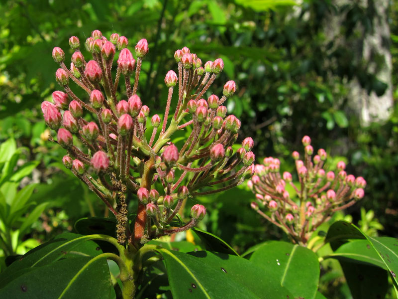
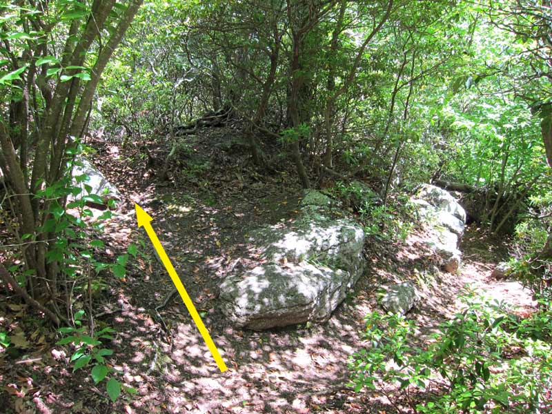
This strenuous hike is best visited in the late spring/early summer when the numerous thickets of mountain laurel and wild azalea are in full bloom. Wildflowers such as pink lady’s slippers are present along much of the trail during the spring and summer. The hike features sweeping views from Bear Church Rock as well as over 1,000 acres of old growth forest in the Staunton River Valley. A PATC-restored cabin from the 1850s and traces of logging performed during the Park’s construction offer the chance to see some of the SNP’s early history.
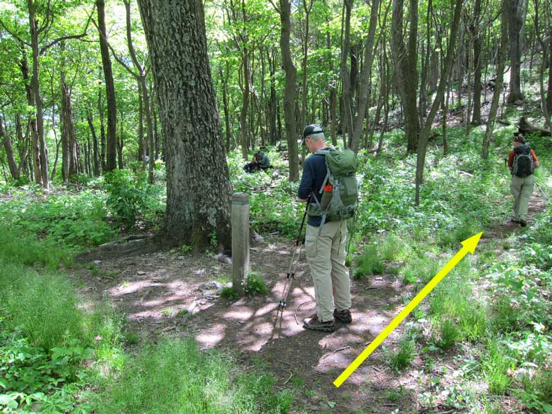
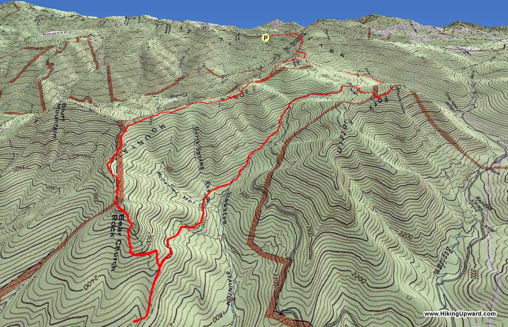
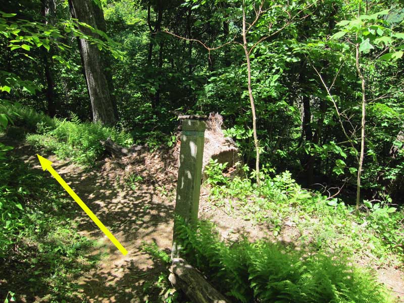
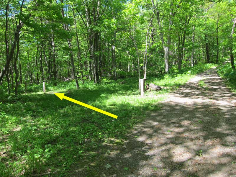
Mile 1.4 – Laurel Prong Trail gradually descends along the shoulder of the ridge until it reaches an intersection with Cat Knob Trail. Continue straight on Cat Knob Trail.
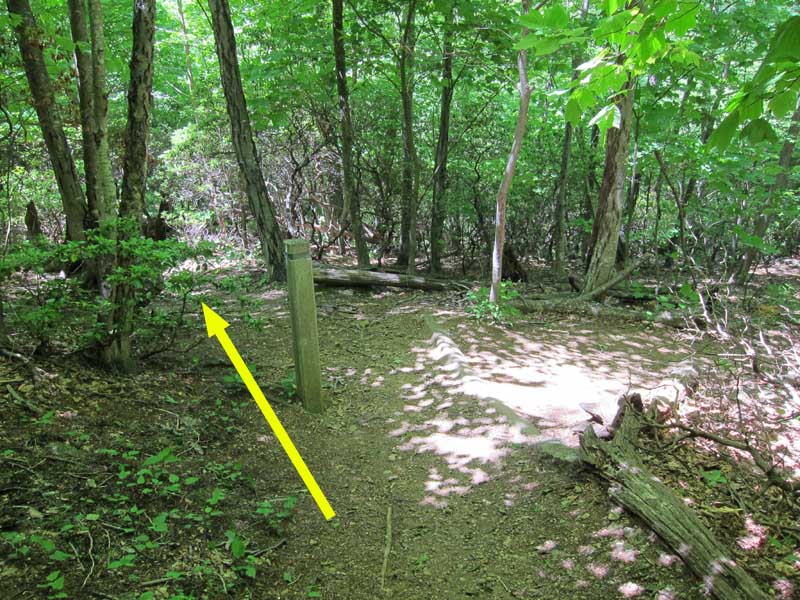
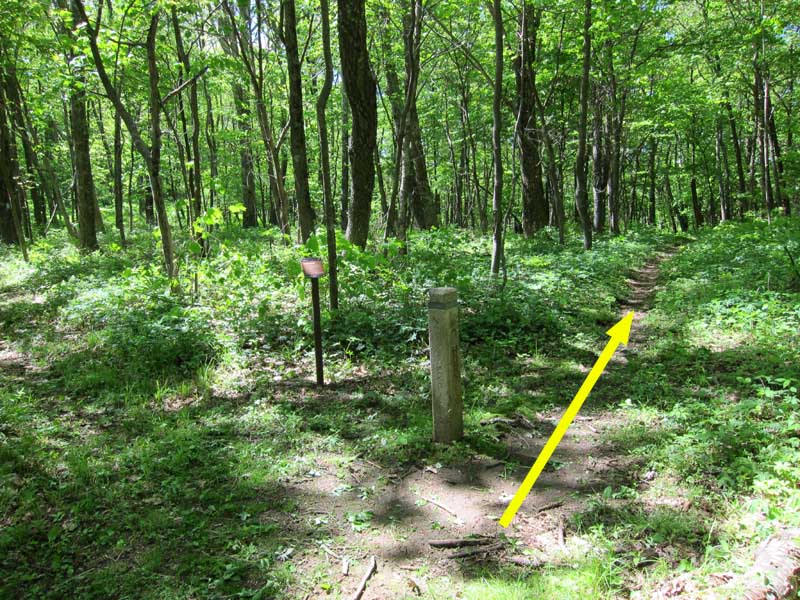
Mile 1.9 – Cat Knob Trail climbs almost 500 feet in half a mile to the summit of Cat Knob, where it intersects with Fork Mountain Trail from the left. Continue straight on Cat Knob Trail.
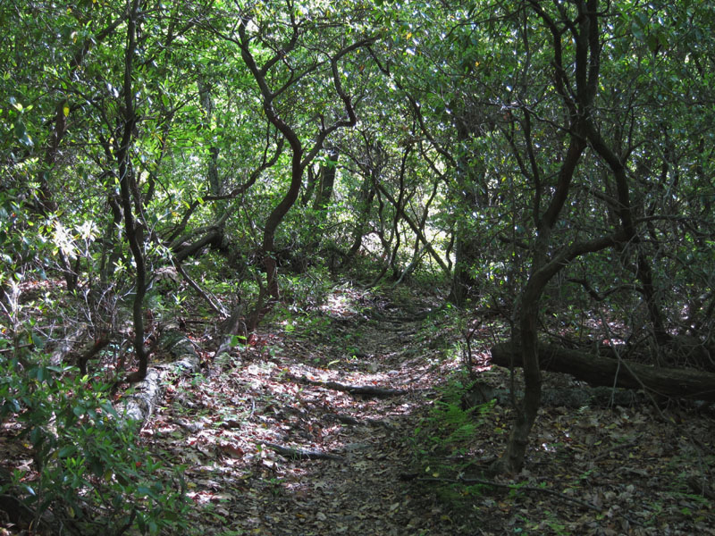
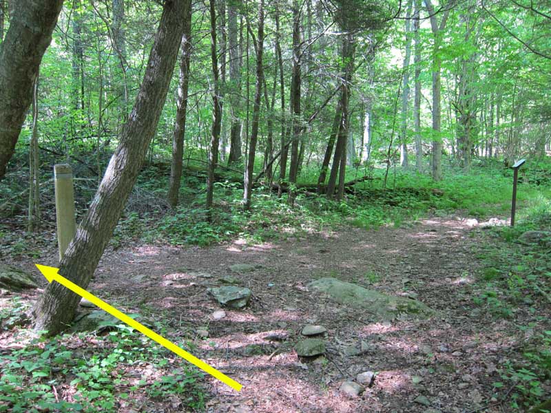
Mile 4.2 – After cresting the summit of Cat Knob the trail begins to descend along the ridge of Jones Mountain as it skirts the edge of Rapidan Wildlife Management Area to the south. Around Mile 2.5 the trail becomes Jones Mountain Trail as the pink-blazed RWMA Cat Knob Access Trail merges from the right. The trail passes through several large stands of mountain laurel and wild azaleas with patches of ferns and wildflowers growing along the route.
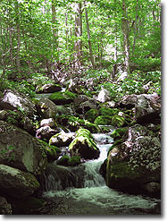
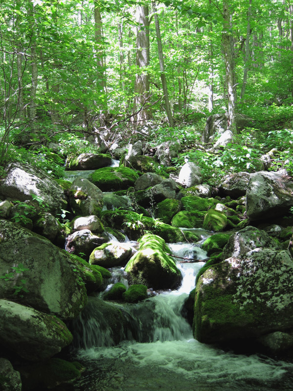
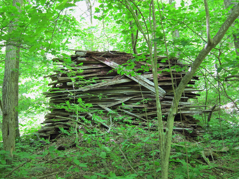
Mile 5.9 – In less than half a mile the McDaniel Hollow Trail ends near a stream crossing. Turn left onto Staunton River Trail and follow it up the valley, passing by several small waterfalls and stream crossings. At one stream crossing you will come across an old slab pile made up of scraps left over from sawing logs into planks. Dead standing chestnuts were removed from the Staunton River Valley in 1938 and used to construct the main lodge and cabins at Big Meadows; it is possible this slab pile is a remnant of this logging activity.
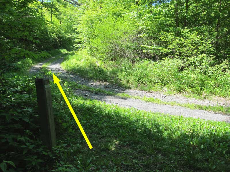
Mile 7.2 – The Staunton River Trail ends at the Fork Mountain Fire Road. Turn left onto the gravel fire road and continue hiking upwards.
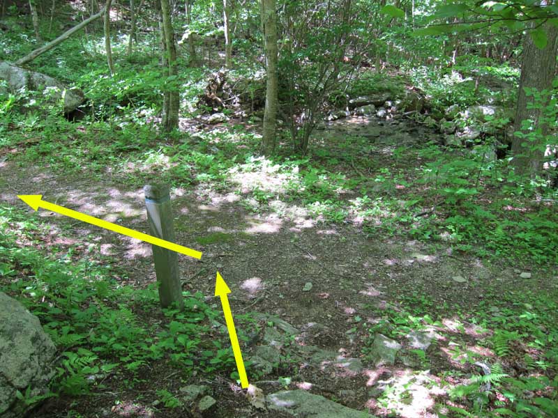
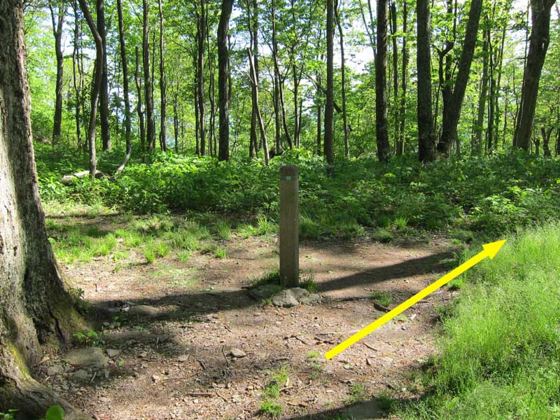
Mile 7.9 – The fire road reaches ‘The Sag’, a saddle between Cat Knob to the southwest and Fork Mountain to the northeast. The fire road intersects with Fork Mountain trail here before continuing an extra ~0.7 miles to an FAA repeater station on the top of Fork Mountain. Turn off the fire road onto Fork Mountain Trail and take the right-hand branch that descends towards Rapidan Camp. Note – the left-hand branch of Fork Mountain Trail returns to the Cat Knob Trail and can be used to cut ~1.1 miles and a few hundred feet elevation gain off the hike.
Mile 9.1 – The Fork Mountain trail switchbacks several times as it descends into the valley. Cross the Laurel Prong stream before the trail ends at Laurel Prong Trail. Turn left onto Laurel Prong Trail and follow it south up the valley.
Mile 10.4 – As the trail climbs it passes through ‘The Laurels’, a section of mountain laurels that surround the trail. Eventually reach the intersection with Cat Knob Trail that you passed at Mile 1.4. Turn right on Laurel Prong Trail to head back to the parking lot.
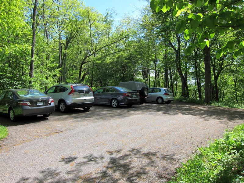
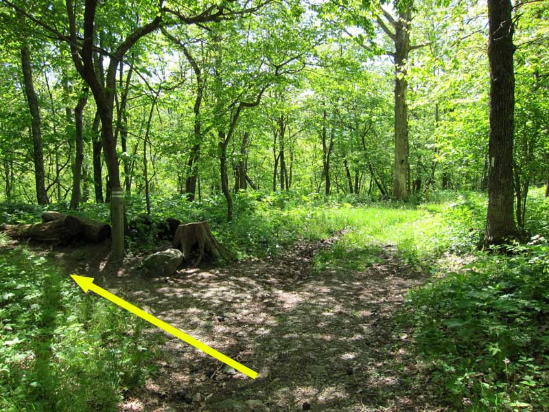
Mile 11.8 – Keep left onto the AT a half mile before returning to the Bootens Gap parking lot.
Late May
Jones Mountain Hike Comments
Archived Comments
By:Karen
Rating:
Date of Hike: Sunday, March 31, 2019
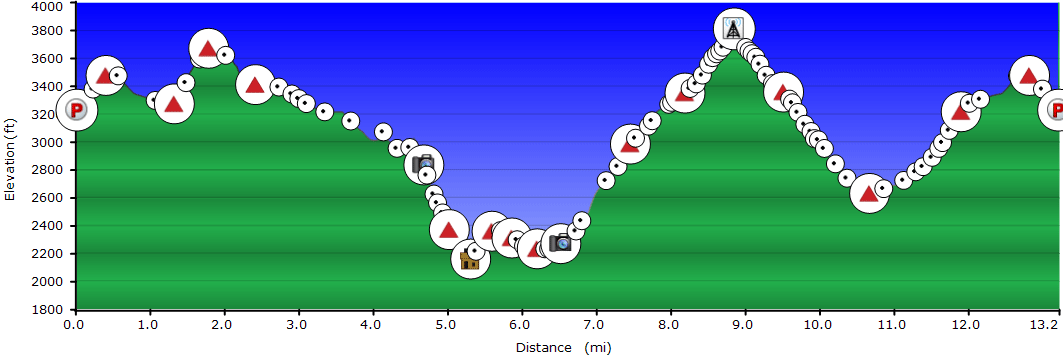
Our distance was 14.2 miles with an elevation gain of 3,200. We skipped the cabin and the radio tower and instead went to Camp Rapidan (President Hoover's "Camp David," so the total distance would have been the same.
I hiked with a group of very experienced hikers, myself the least among them, and it really wore me out. The moving pace was 3.1 mph so Alex (below) you must be one hell of an elite hiker because you finished your hike well before ours even if I omit the time we spent at Bear Church Rock and Camp Rapidan!
The trees are not yet leafed out so there were some very nice views along the ridge during the early part of the hike but as the trail descended it was kind of boring until Bear Church Rock. Really enjoyed Staunton River Trail--absolutely beautiful moss covered rocks and lovely waterfalls! Hiking back up to AT was again, a little bit featureless. There were several water crossings that can be tricky after a lot of rain. Nice hike overall.
By:Keith
Rating:
Date of Hike: Sunday, September 10, 2017
Did the trail to the T per direction, Great hike up and down and the view from bear church is nice. Spot a Mama bear and her cub coming down from the SAG to Fork Mtn trail switchback. Made a lot noises to deterred and scared her away.
By:Ash
Rating:
Date of Hike: Sunday, September 3, 2017
I did this hike as prescribed, including the cabin and tower off shoots. I really enjoyed this hike. The view from bear church rock was very nice, as was walking by the river. Another thing that I liked about this trail was the amount of moss covered objects. It could be that I went the day after thunderstorms, but I can't recall seeing so many moss covered rocks and trees on one hike. It was gorgeous how the moss was glowing green.
With two GPS devices, one said 15.18 miles and 4,022 feet of elevation gain and the other said 14.7 miles and 3,986 feet of elevation gain. Both of those are significantly more than the 11.8 miles listed. I am not sure how that happened unless the 11.8 does not include the cabin and tower portions.
By:Alex
Rating:
Date of Hike: Sunday, June 18, 2017
I am skeptical that this hike actually has nearly 4,000 ft of elevation gain. When hiked in the direction suggested, the downhill portions (after Cat Knob) felt very steep, but the uphill sections thereafter were pretty moderate. We finished in 4 hours and 40 minutes, though we didn't stop for lunch due to the heat, bugs, and lack of a good vista after Bear Church Rock (note: I didn't read the directions clearly enough, so we didn't realize that the only good view on the hike is very close to the beginning.).
The sections along the McDaniel Hollow and Staunton River trails were incredibly buggy and humid. In the spring or fall, this section of the hike would probably have been really enjoyable, but it was by far the worst part of the hike due to bugs. Once we got to the fire road the conditions got better, but they were similar around descent to (and ascent from) the Laurel Prong stream.
Overall the views were pretty lacking and I probably wouldn't recommend doing this again unless someone was training.
By:mark
Rating:
Date of Hike: Sunday, May 14, 2017
What a great hike! I loved it but it wore me out. I usually hike a trail in this guide in the stated time or less, but this one was 7 ½ hours, including lunch and stops along the way. I hiked it clockwise rather than as described because I thought this was better for lunch at Bear Church Rock, which was great! Not sure this way is any easier or harder, but my cell phone GPS said 6.05 hours of hiking for 12.8 miles. Using my GPS, here are my marks, noting differences from this guide for that interval.
1.4 miles Laurel Gap / Cat Knob junction (same distance as described),
4.0 miles The Sag (same distance as described) Beautiful trail, Laurel Prong crossing about 1 deep after a week of good rain. I chose to cross barefoot rather than hike all day with wet feet. Didnt hike up Fork Mtn. to radio tower because it was just a fire road.
7.5 miles, Bear Church Rock (+ ½ mile from guide for this section). Staunton River was beautiful but trail is rugged. Two river crossings on logs, First was easy with nice wide flat log, second was more difficult and glad I had hiking pole to brace. As Id seen the PATC cabin before, didnt go there again.
11,4 miles, back at Cat Knob / Laurel Gap junction ( + ½ mile from guide for this section) some beautiful wildflowers in this section and nice peekaboo views. Lots of ticks in the grass. Hike down Cat Knob to Laurel Gap is tough and went slow as I was getting tired.
12.8 miles, back at parking lot (matched my previous and the guide for this section)
So, I picked up 1 mile. My GPS also found an additional 520 feet of climbing for a total of 3, 917 feet. I know it is jsut a cell phone GPS but it has proven pretty accurate with past hikes. It was rough, but I did love the trail. Be ready for a good workout.
By:Elliot
Rating:
Date of Hike: Saturday, April 29, 2017
Two friends and I started out from Booten Gap parking lot and headed along the Jones Mountain trail with fully loaded hiking packs on. While the first half of the trail has some steep ascents, it generally evens out and is not too strenuous up until after Bear Church Rock overlook. This view is one of the main reasons why people who want to get away from crowds and have solitude need to complete this hike, is it beautiful! We then descended to the Rapidan River and refilled out water, soaked our feet and continued upwards. From this point on, until the intersection with the other trails at The Sag, the trail is steadily uphill and was very exhausting though the views of the rivers and waterfalls are worth the sweat. We cut back on the Cat Knob trail to head back to Bootens Gap, very sore though satisfied with our first hike of the season.
By:Jessica
Rating:
Date of Hike: Saturday, October 22, 2016
Beautiful hike. Very windy day and rather cold. Much of the fall foliage, maybe up to 70% of the leaves, were on the forest floor. Made for an interesting hike in that the trail was obscured in most places. Also, the ankle deep fallen leaves made the rocky portions of the trail that much more difficult to navigate. Well marked throughout. Dog and I had the trail mostly to ourselves except for around Bear Church Rock where several groups were enjoying the overlook. I'd like to try the trail in reverse as mentioned by others. Didn't see any bears.
By:Stryker
Rating:
Date of Hike: Thursday, August 11, 2016
Loved the hike but it was much harder than anticipated. Took me 6 hours to complete the full circuit. Saw one bear. He was nibbling on something as I came around a bend about 20 feet away. Yelled at him and thankfully he wandered off. Saw lots of fresh scat so there could have been more. Also saw four backpackers but that was it. 5 stars for solitude.
By:Jeremy
Rating:
Date of Hike: Friday, September 4, 2015
Jones Mountain and Bear Church Rock (Shenandoah National Park)
Starting at the Boundary in the Graves Mill Parking Area, I completed this 13.3 mile loop hike. I followed the Rapidan River (Graves Mill) and Staunton River trails to the Fork Mountain Road. I took the road to the Sag where I picked up the Jones Mountain trail which I took to Bear Church Rock and then back to the Staunton River Trail. I got a late start (noon) hiking to the sound of continuous thunder (which luckily never materialized into rain) in 90 degree heat barely making it off the mountain in daylight. In what should have been miserable conditions I had a great time and would highly recommend this hike.
Pros: I dont like to throw around phrases like hidden gem, but this was one of the best hikes I have done in SNP. The Rapidan and Staunton rivers were beautiful to watch transition from flowing rivers at the start to a cascading brook at the top. For the 6+ miles from the Jones Mountain trail junction to the Sag to Bear Church Rock I did not see a single person (maybe they were smart enough to not hike in these conditions). This part of the trail, while easy to follow, did have portions where it felt like you were the first person hiking them in a long time. The rock formations in and around Bear Church Rock were typical of SNP (in a good way).
Cons: SPIDERS. Seriously, there was a web across the trail every 10 feet once I was past the Bear Church Rock (Jones MTN TR) turn off. This hike also has a ton of elevation so be prepared for ~6 miles of steady (but never steep) uphill.
https://youtu.be/ITZ1VXhZAR4
By:Dukkar
Rating:
Date of Hike: Saturday, July 25, 2015
It's a nice, long hike, but definitely not a level 5 difficulty. We did Buzzard Hill (aka Roller Coaster) last weekend and if that was a 4, the Jones Mountain hike should be a 3. Saw lots and lots of fresh bear poo on Cat Knob Trail (around 9:30 am) and that should have alerted us to the presence of one or many bears. Well, sure enough we made a turn and a bear growled at us loudly!! We didn't quite see it as we stepped back gently and made lots of noise to drive it away. Be careful and make sure you know what to do if you encounter one... ...we were really surprised at the concentration of bear poo on the Cat Knob trail. In terms of solitude, we did not see any hikers on the way to Bear Church Rock I guess most hikers do not start from Bootens Gap parking lot due to scarce parking. Lastly, it is at least a 7 hrs trail.


