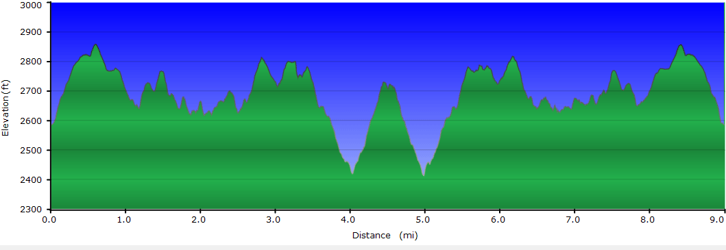
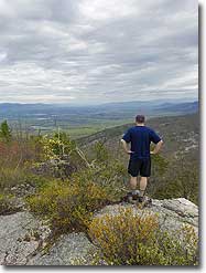
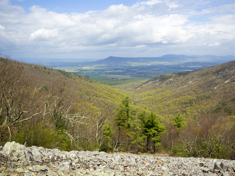
Lewis Peak is a majestic summit in Shenandoah’s southern district. It’s not as well-known or traveled as other hikes in the park, but it has spectacular views. A fire in 2006 left the mountain top open with sweeping vistas in every direction. The route is moderate and traverses rolling terrain. There are no lengthy ascents or descents, so it’s a good choice for anyone looking for a longer hike devoid of tough climbs.
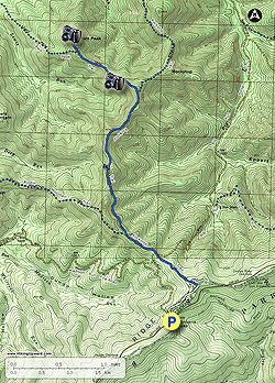
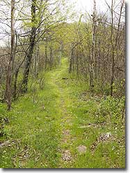
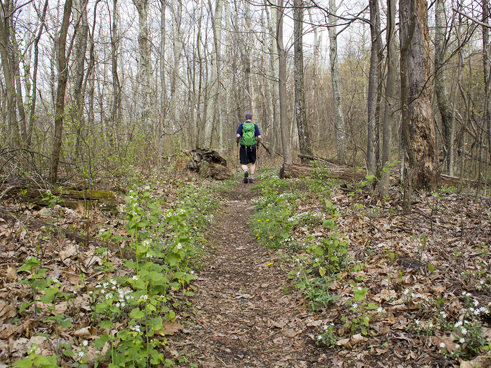
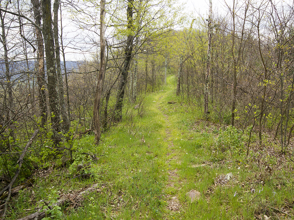
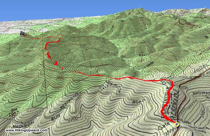
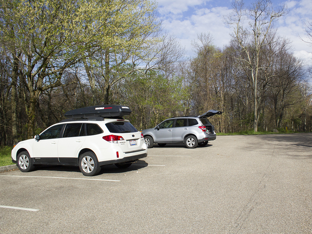
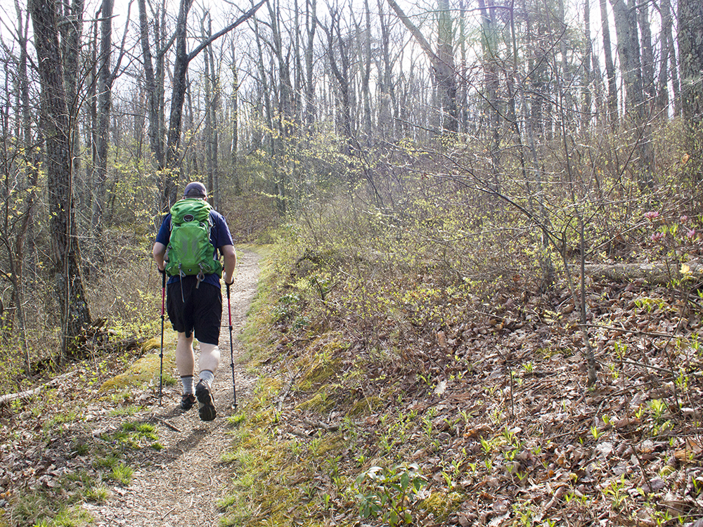
Mile 0.0 - Start at Browns Gap parking area. The parking lot sign says Brown Gap, but maps of this area all list it as Browns Gap. There is room here for about eight cars. Look for a cement marker post along the side of the parking lot. Follow the Appalachian Trail headed north. The trail will ascend moderately for almost half a mile before leveling out.
Mile 0.50 - Reach a cement marker at the junction of Appalachian Trail and the Big Run Loop. Take left onto the Big Run Loop Trail. Follow this trail for a little over a mile.
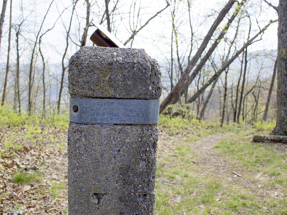
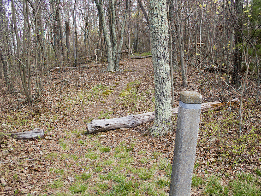
Mile 1.6 - Reach a cement marker at the junction with the Austin Mountain Trail. Stay to right, continuing on the Rockytop Trail.
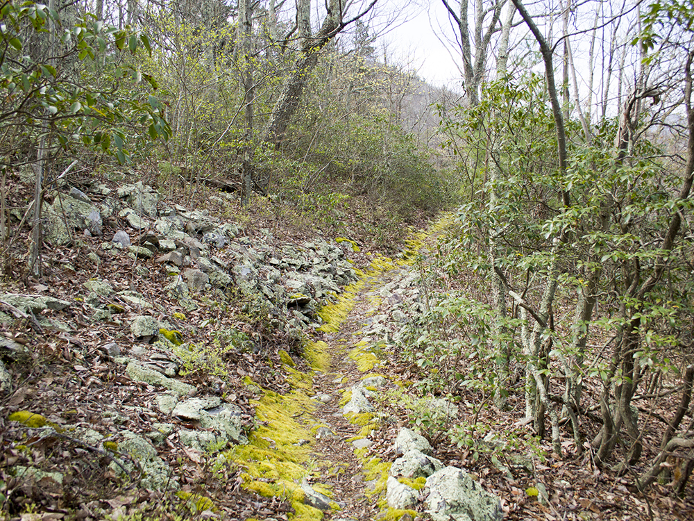
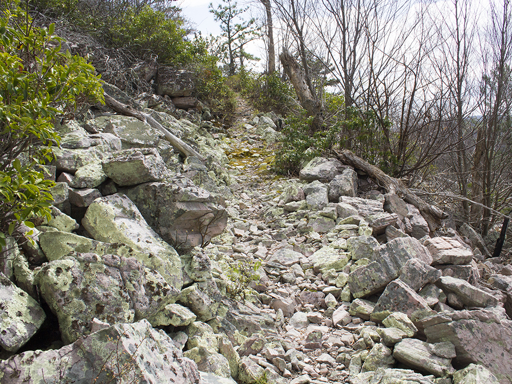
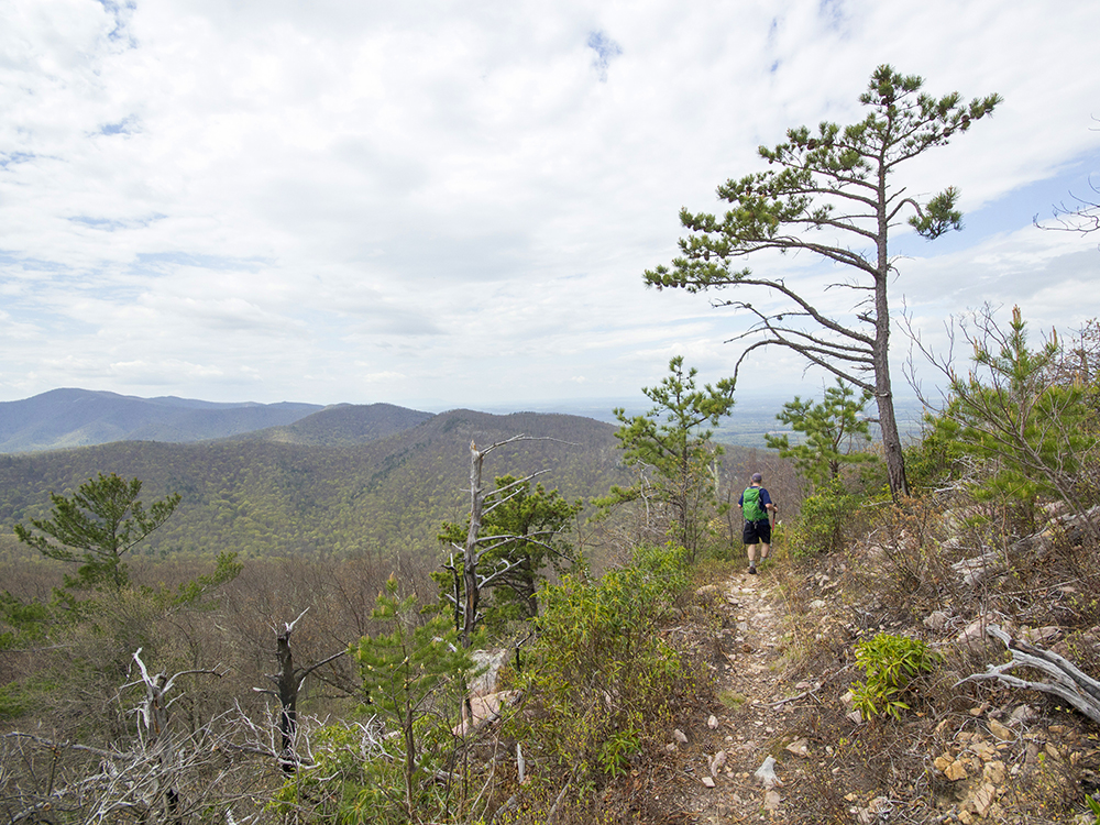
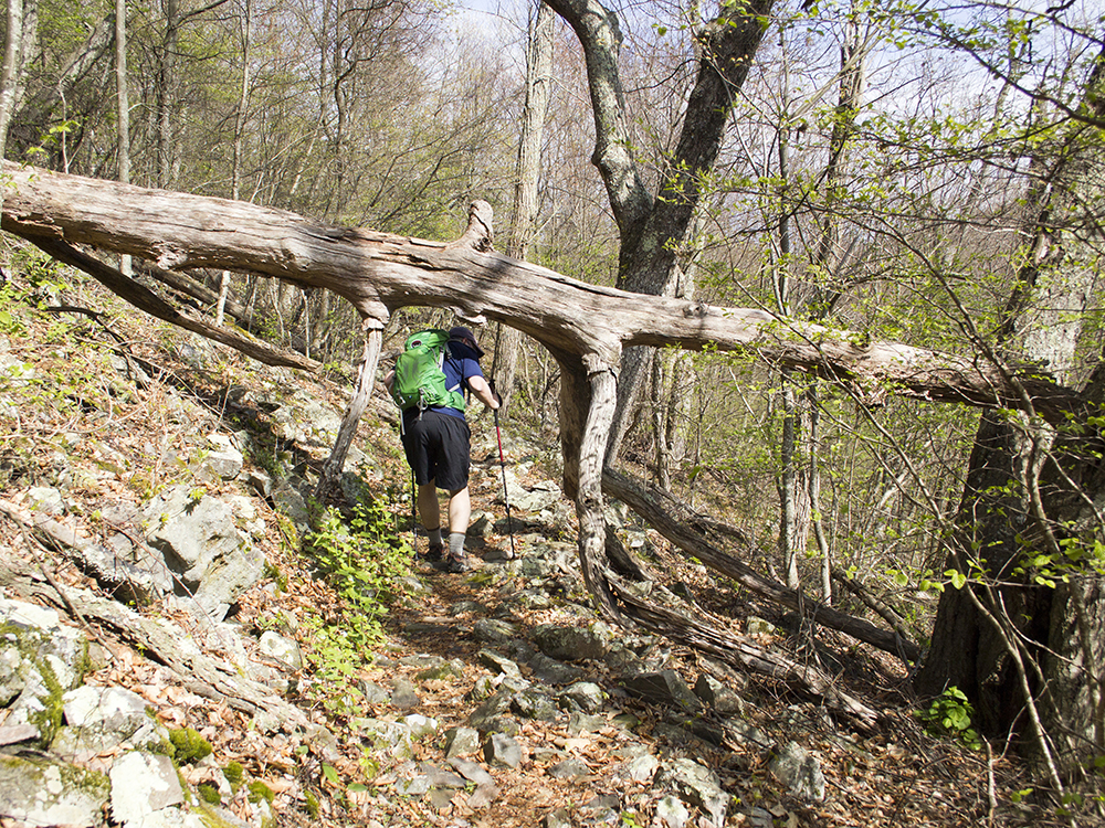
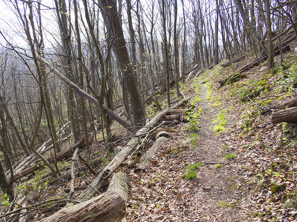
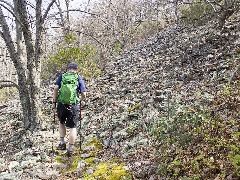
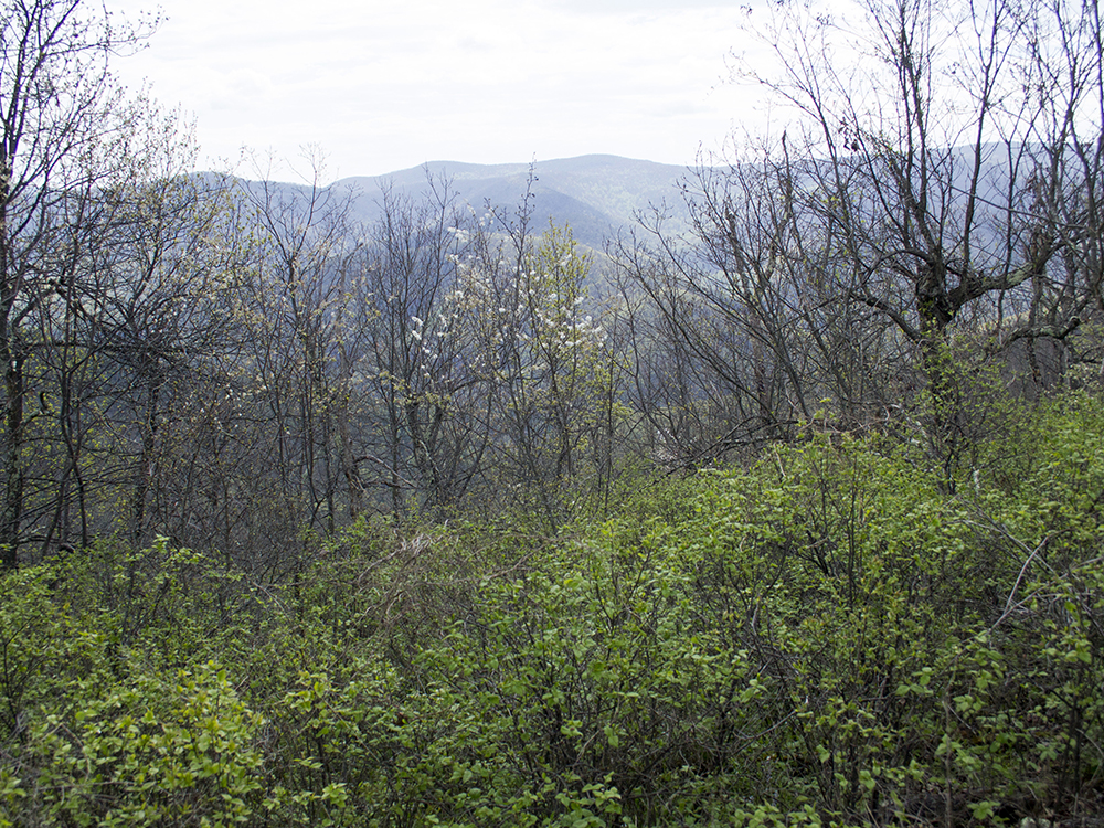
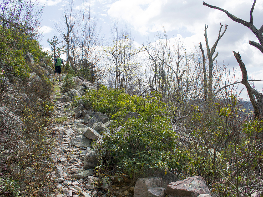
Mile 2.3 - Pass over a series of impressive talus slopes. The trail will meander up and down before you ascend to a mostly open grassy ridgeline. If there aren’t leaves on the trees, you’ll have some nice views of the mountains along this stretch. The trail then descends for a steep but short distance into a saddle between the mountains.
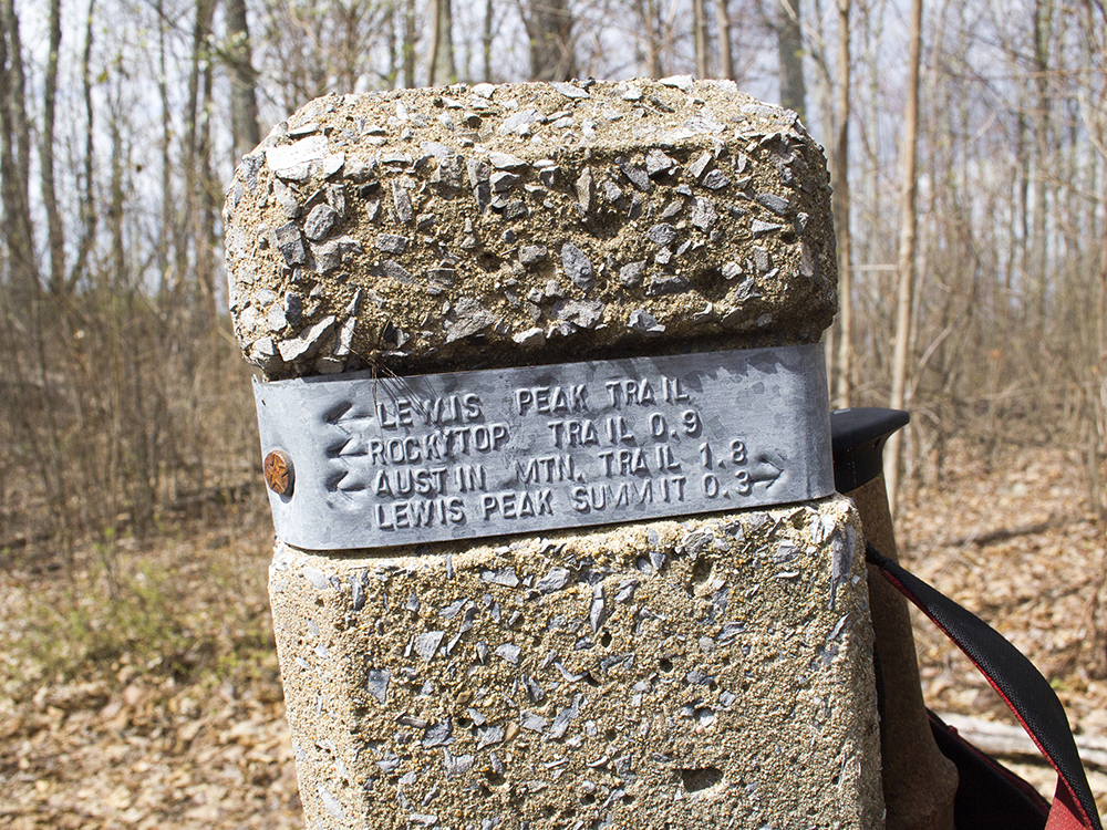
Mile 3.4 - In the saddle, you’ll reach a cement marker at the junction with Lewis Peak Trail. Bear to left, continuing on the Lewis Peak Trail.
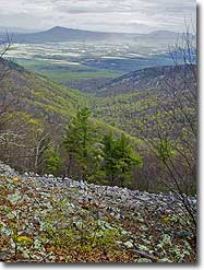
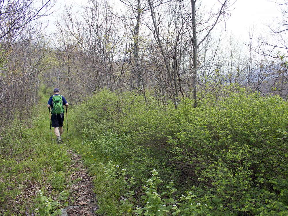
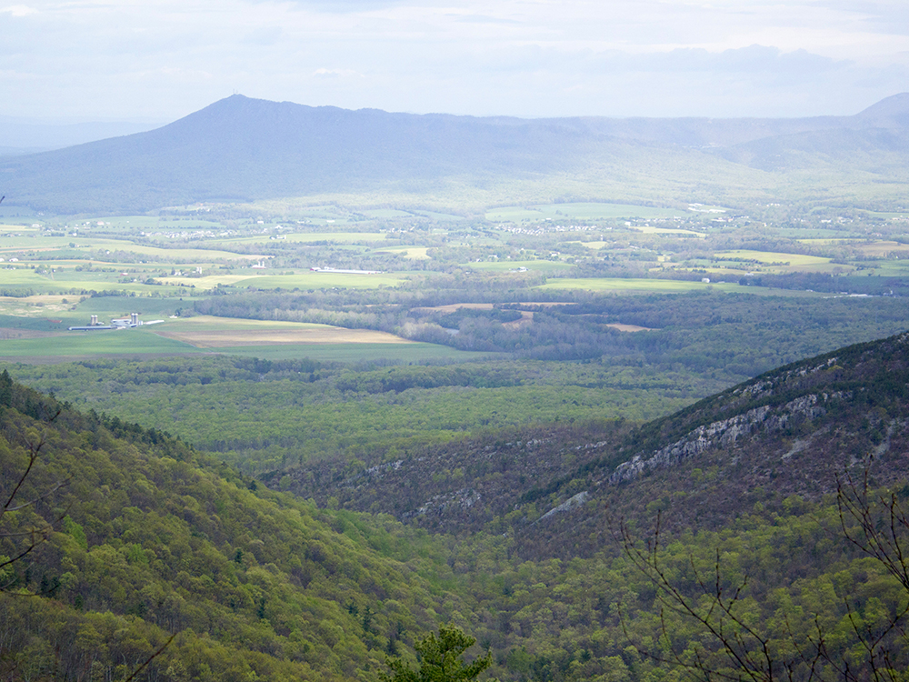
Mile 3.65 - A quarter mile after the junction, you’ll pass a fantastic open view of Massanutten. From there, begin to ascend Lewis Peak.
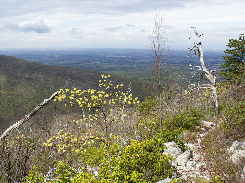
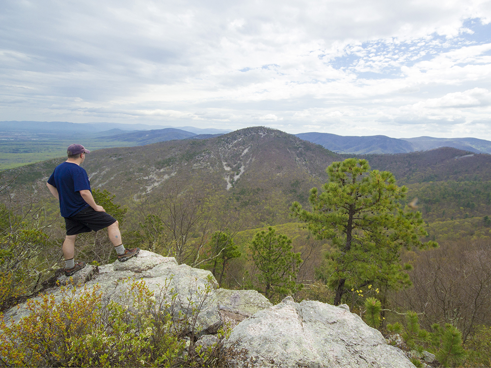
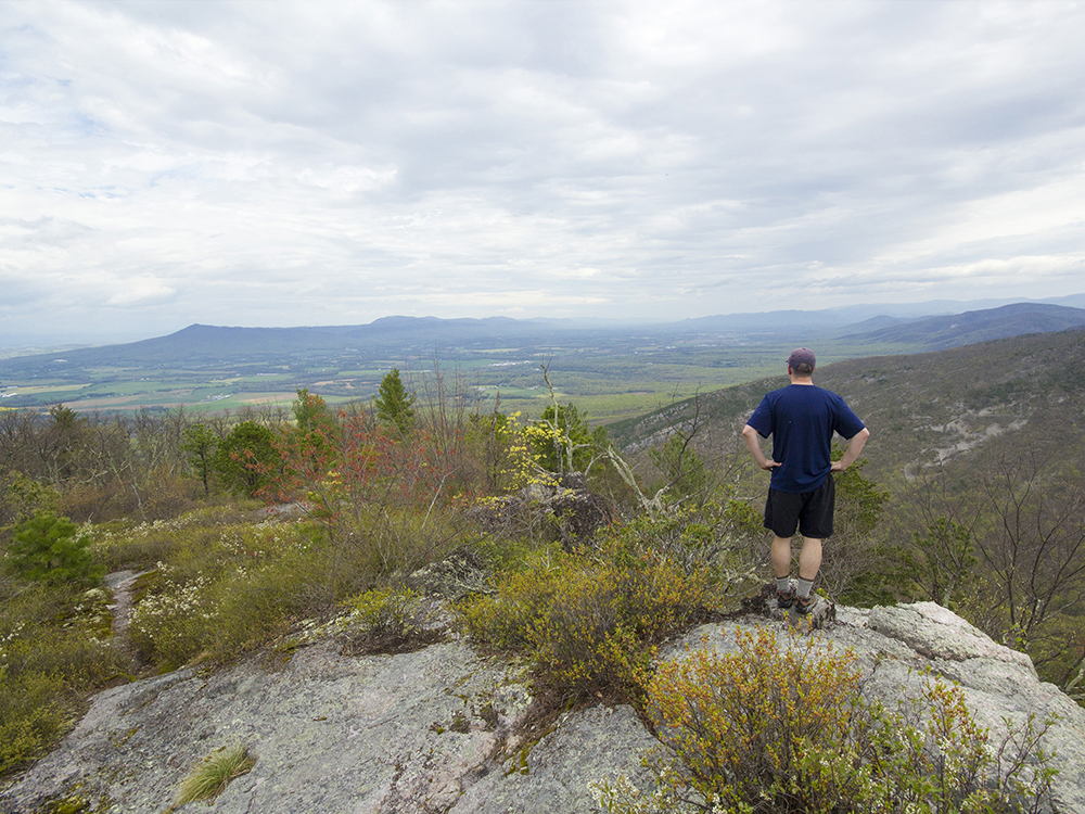
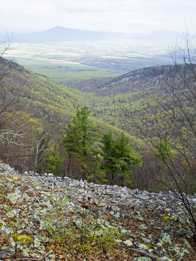
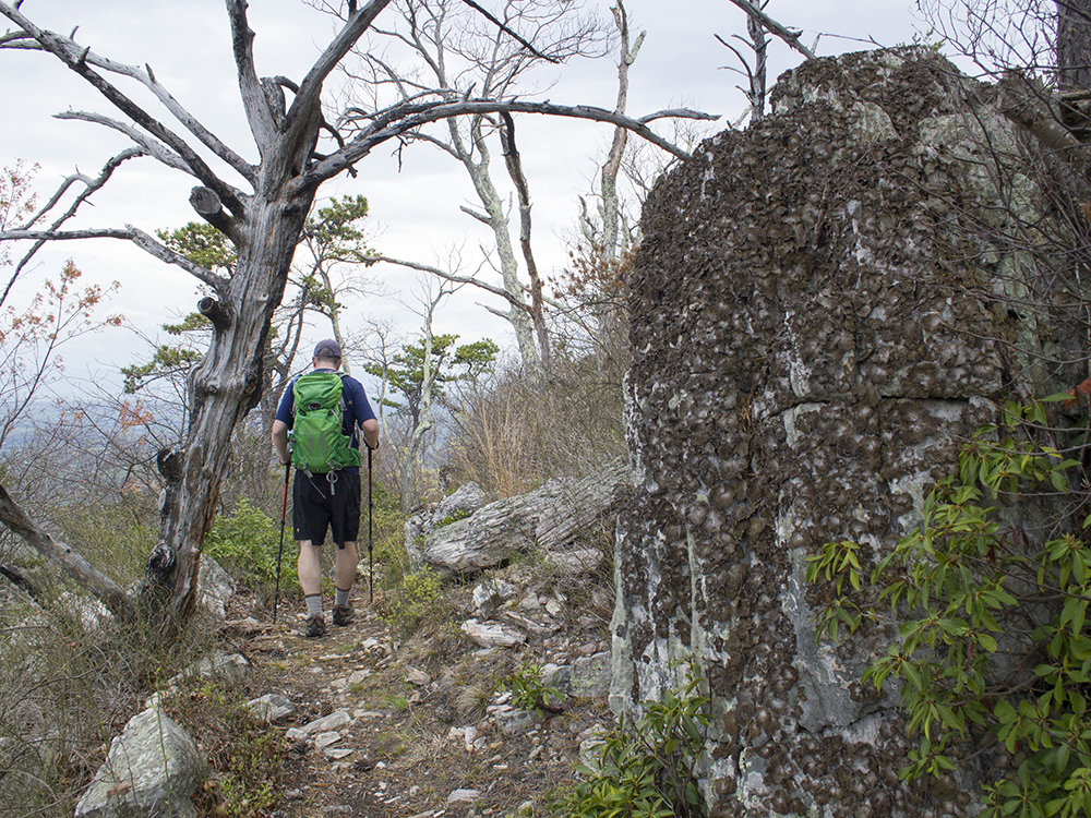
Mile 4.25 - Reach a cement marker at the junction with the Lewis Peak Summit Trail – stay straight. The Lewis Peak trail actually continues to the park’s western boundary, but you will stay on the Summit Trail. Over the next quarter mile, the trail becomes steeper and more open. Follow the rocky switchbacks to the summit of Lewis Peak. At the top of the mountain, the terrain levels out and you will reach an open outcropping.
Mile 4.5 - The trail dead ends at the summit of Lewis Peak. Enjoy the great, panoramic view. When you’re ready to head back, retrace your steps, descending the Lewis Peal Summit Trail.
Mile 4.75 - Stay straight on the Lewis Peak trail, headed toward the Rockytop Trail. Check the cement marker here and make sure you are headed toward Rockytop and not the park’s western border.
Mile 5.65 - The Lewis Peak trail ends. Continue straight onto the Rockytop Trail
Mile 7.5 - Pass the junction with Austin Mountain Trail, and continue on the Rockytop Trail.
Mile 7.9 - Reach the junction with Big Run Loop - stay straight, following the Big Run Loop Trail.
Mile 8.5 - Reach the junction with Appalachian Trail; take a right, headed south.
Mile 9.0 - Arrive back at Browns Gap parking.
Late April
Lewis Peak Hike Comments
Archived Comments
By:Sean
Rating:
Date of Hike: Thursday, June 27, 2019
I generally agree with the two reviews posted in 2018 and won't repeat the points there. Be careful at points where the trail is very narrow along a steep slope -- a foot too far toward the edge and you are downhill to your knee. I sometimes don't use hiking poles but am glad I had them on this trip. There is no water on this hike so bring plenty.
By:Jamey
Rating:
Date of Hike: Sunday, May 20, 2018
This is a decent hike, but nothing special. The view is nice, but there are definitely much better views elsewhere in Shenandoah. On the plus side, azaleas were blooming everywhere along the beginning/end of the hike, the only people I saw were on the AT section, and it's not a difficult hike. But the Rockytop trail is boring (and vegetation is growing over the trail in many places) and the view at the summit is nothing spectacular.
By:lhucek
Rating:
Date of Hike: Sunday, March 18, 2018
Sunny and 45 degree day. Perfect hiking weather. Quiet, peaceful trail. The trail was clear of underbrush. A section of the trail is very rocky underfoot. I thought the summit view was just ok if I compared it to Old Rag and Spy Rock. There wasn't a large area to enjoy a 360 view - small trees and shrubs are also on top of the summit that block a 360 view if you are sitting down to enjoy your lunch. There are a decent amount of ups and downs in elevation so it is like interval training. Because of the fire a decade ago, there are a lot of downed trees along that section and lots of smaller trees growing in that area now. For me, this is not a hike I would do again - there are so many more rewarding hikes.
By:aldikuma
Rating:
Date of Hike: Monday, August 21, 2017
Hiked this one specifically to grab a prime spot on top of the peak for the eclipse. The peak did not disappoint, with beautiful 365 degree views! No one on the trail all day so solitude, at least during the week, is high. As the others noted, this hike is great for interval training and keeps you working throughout. But the peak is the sweet spot, and well worth the effort. I could've spent all day up there if a thunderstorm didn't chase us down! A note that I'm writing this four months later, and am still itching from the 40-50 seed tick bites I got from this hike. They obliterated me. So if you hike this in warm weather, use a lot of repellant and wear long pants. Or go in the winter. Also, watch out around the rocky, boulder sections - I was stung by a yellow jacket around this part.
By:VSOP
Rating:
Date of Hike: Monday, July 3, 2017
Great clear weather for a hike and not too hot/humid. Trail is mostly in the shade of the "green tunnel". Trail bed was in pretty good condition with some spots that might be cut out a little more. It's significantly rockier than the nearby section of the AT. No long grades as noted by another reviewer. Blue blazes were well placed and in good condition. Summer brush is closing in on the trail closer to the summit but there's a good shaded clearing near the summit to kick back in. There was a good amount of bear sign (turned rocks & logs, scat) as the trail proceeded toward the peak. And I did see a small black bear. The couple ahead of me saw one other. Hike directions on this page are accurate. Got to pay attention at the cement trail markers. Take plenty of water as there are no water points along the trail. Views were definitely worth it.
By:Chris ODonnell
Rating:
Date of Hike: Saturday, June 10, 2017
I did this hike on Saturday June 10, a blue sky, 75 degree day. Perfect for hiking. It's a nice hike, basically a walk in the woods for 4.5 hours, with some amazing views as the payoff at the turnaround point at the top. It was surprisingly busy for a side trail hike, I passed many more hikers than I would expect that far off the AT in Shenandoah. The Rockytop trail is not well maintained, and in places where it gets a lot of sun it's bordering on being overrun by the surrounding vegetation. That kind of contact with vegetation always means ticks, so do a tick check after the weedy sections. I ran into a PATC volunteer clearing the Lewis Peak section of the trail, so that part will be in good shape. The views from the summit are amazing, and worth the effort to get there.
There are no lengthly steep sections on the hike at all. It's a good option if you are looking for a longer day hike that isn't too taxing.


