| By:
Pok |
Rating: |
 |
Date of Hike: Sunday, May 19, 2019 |
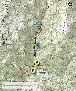
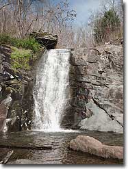
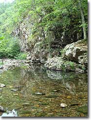
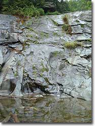
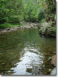
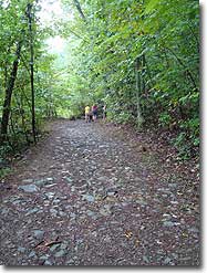
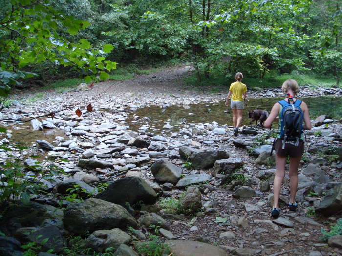
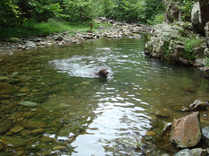
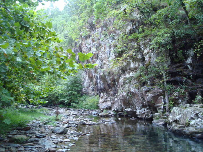
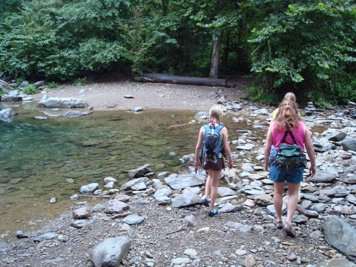
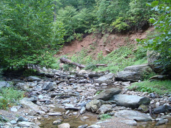
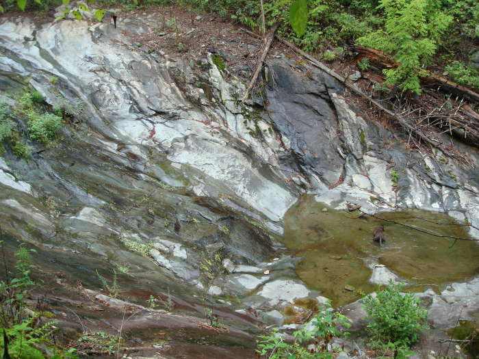
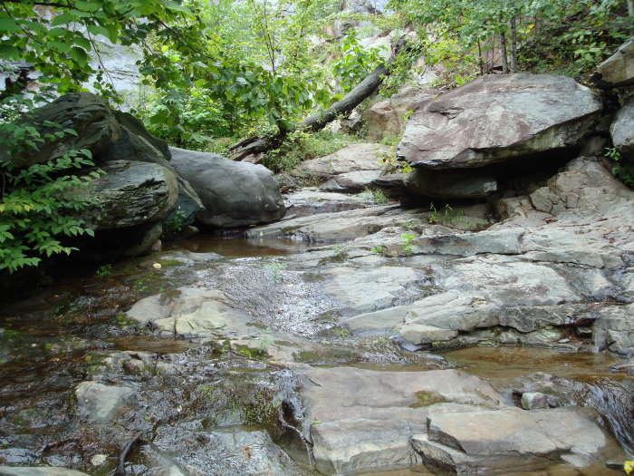
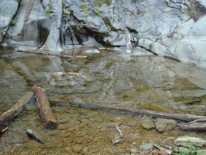
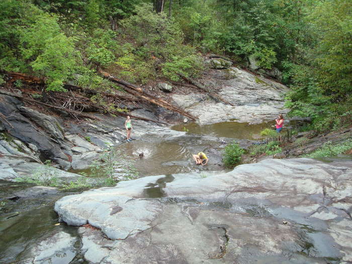
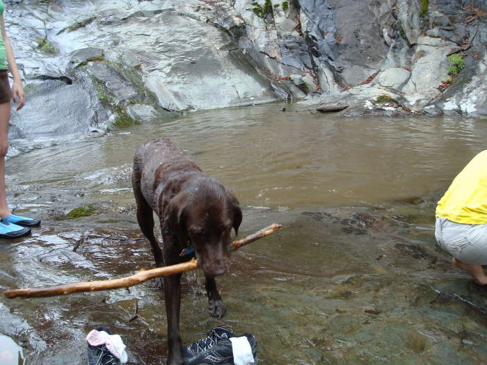
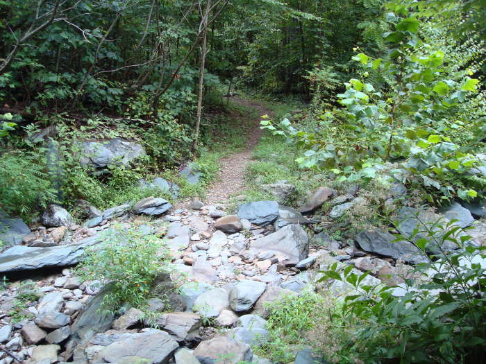
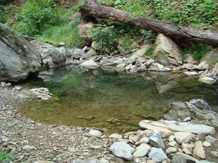
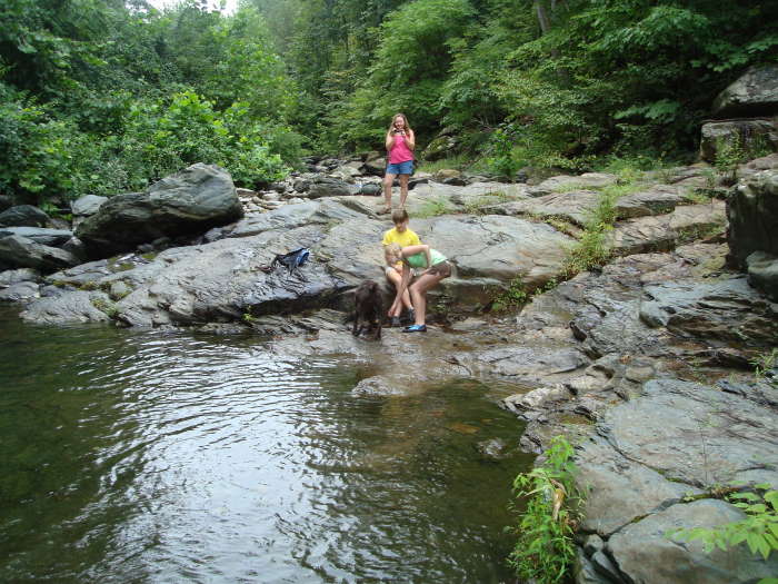
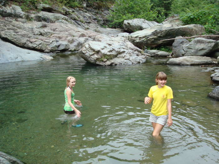
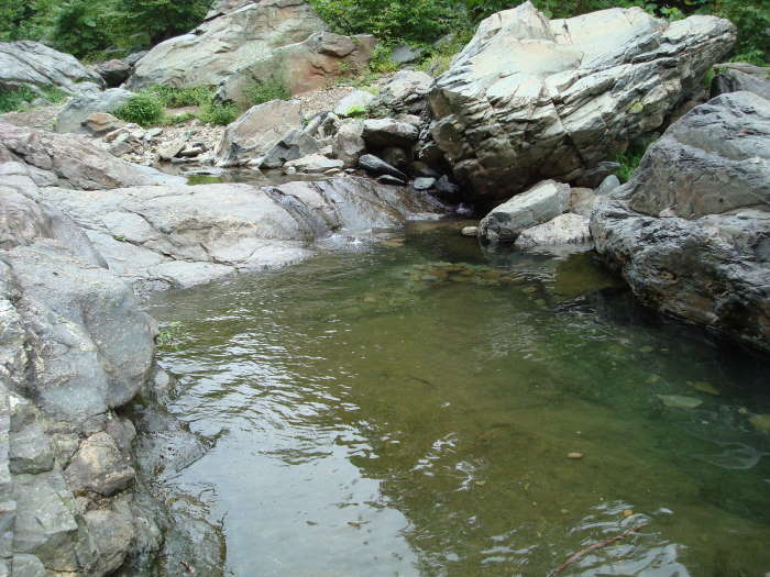
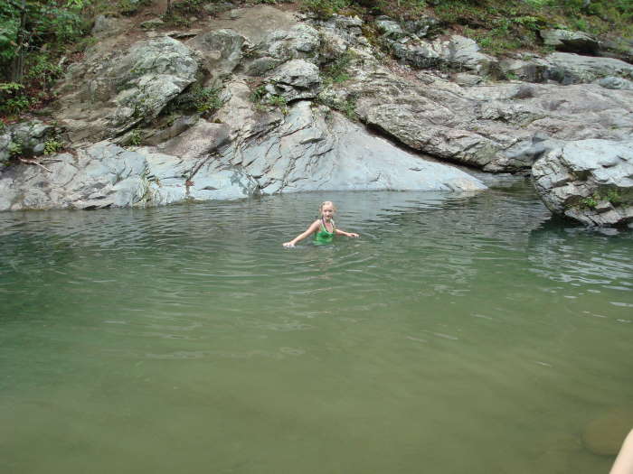
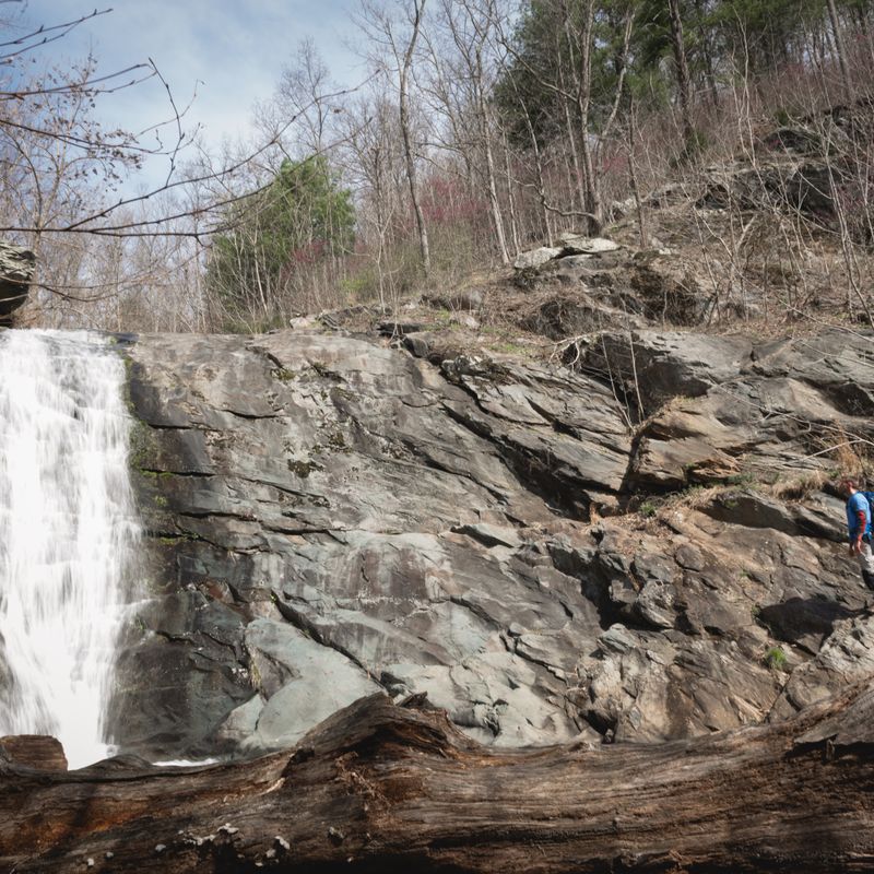
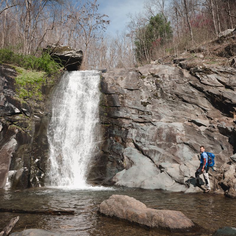
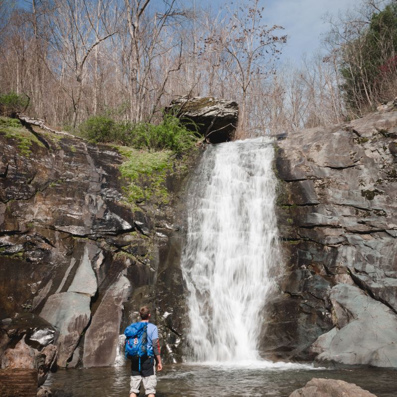
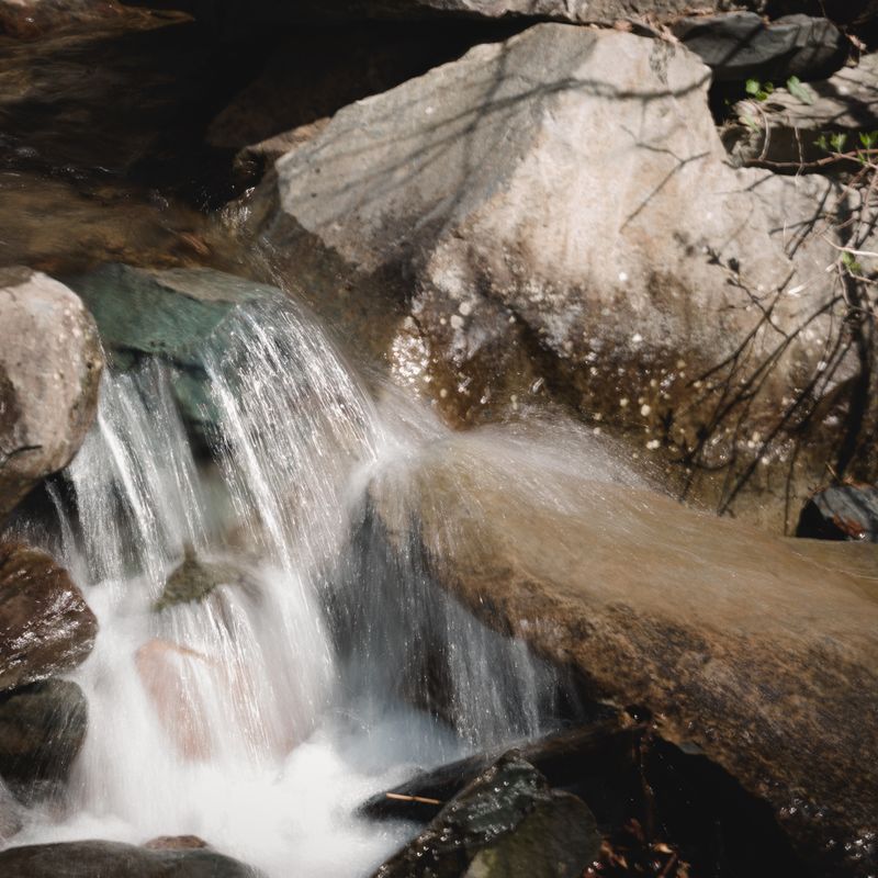
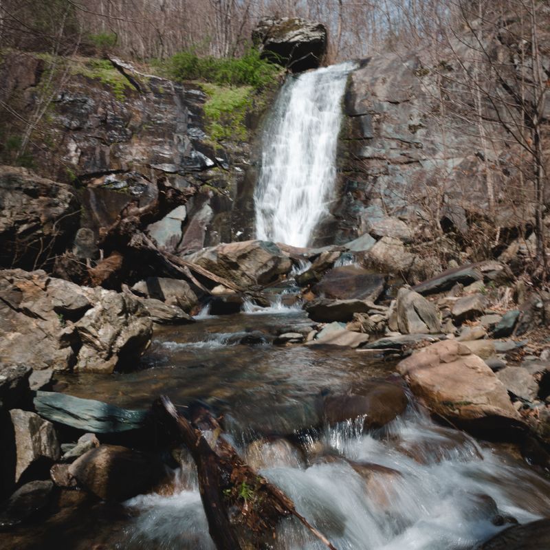
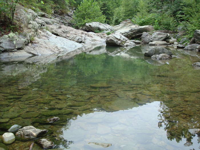
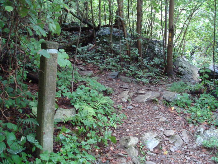
Great hike for a warm late spring day. Its a simple wide trail with some obligatory stream crossings, plan to get your feet wet or take your shoes on and off a bunch. A bypass route by the first and second crossings goes up and over the canyon by a cliff, and is technical and not recommended for smaller kids or those without modest scrambling skills, the upstream side is slippery. You still have to do the third crossing to get to the falls, so commit to the journey with all the stream crossings. Great swimming holes along the way, our dog loves it here. Making mid-May extra special, there were huge numbers of butterflies- Tiger Swallowtails were everywhere and even congregating in clumps- so many! It was great to see them thriving. The waterfall is pleasant, a swimming hole at the top as well. If you wanted to continue up to skyline drive & black rock gap you would head right at the signpost across the steam, instead of going straight to the falls. The sign is a few hundred yards before the falls. An out and back -your choice of distance or its a long hike south on the AT to Turk Mountain to make a loop, longer than a day (17mi) for most.
|
|
| By:
Isabel |
Rating: |
|
Date of Hike: Tuesday, April 30, 2019 |
I really enjoyed this hike! Not too hard and even did it with my 13 lb dog. The only thing is the water is still quite high as of late April. Got my feet soaking wet but still enjoyable in warm weather. I actually found it to be really quiet on a weekday late afternoon. I saw two fishermen and that was it for 2 hours.
|
|
| By:
Priscilla |
Rating: |
|
Date of Hike: Saturday, January 12, 2019 |
This is one of my favorite hikes but as of today (1/12/2019) the water is still too high to cross the river with dry feet (heading either north or south of the parking area). Plan on getting wet if you attempt this, so wouldn't recommend on a chilly day at least til the water goes down!
|
|
| By:
Chris Cali |
Rating: |
|
Date of Hike: Saturday, September 29, 2018 |
This is a great hike. This was the year of the rain that would never stop. As such the river was cold, fast and deep. The first crossing was very fast and about thigh deep. The second was about as slower but rib deep. The third crossing was about as fast the first one but was about waist deep. Obviously this is going to vary greatly. I had to carry my 7 and 9 year olds across, but my 13 year of and black lab could get across on their own. Hiking poles strongly recommended. You will get wet, but we scarcely cared because the temperature was in the mid 60's and we had a great time.
|
|
| By:
Keep Virginia Cozy |
Rating: |
 |
Date of Hike: Saturday, March 3, 2018 |
This hike is fantastic! Perfect one to do if you're just looking to enjoy the beauty of Shenandoah and stretch your and your pups legs! Went up early..not long after sunrise...saw one bear (who clearly didn't care about me or my two hound dogs)...and didn't see a single person on trail until I was on my way back within 100 yards of the parking area. Trail is in great condition! Although there are SEVERAL trees and limbs down, none of them proved impassable. All in all...if you're looking for a hike that won't wear you out...one that's dog friendly...and one that provides absolutely beautiful views of a Shenandoah forest...LOOK NO FURTHER! Throw on some boots...grab some water...and go disappear for a bit. You won't regret it.
And remember... Be kind. Smile at strangers. Pick up litter. KEEP VIRGINIA COZY!
|
|
| By:
Barry |
Rating: |
|
Date of Hike: Sunday, February 11, 2018 |
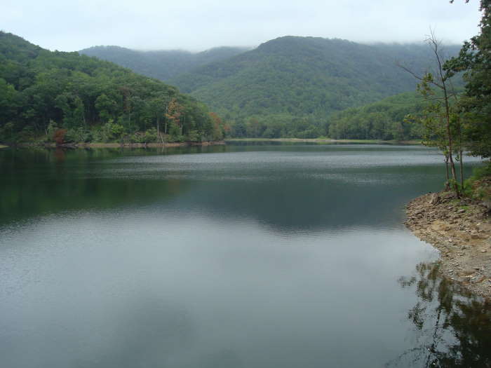
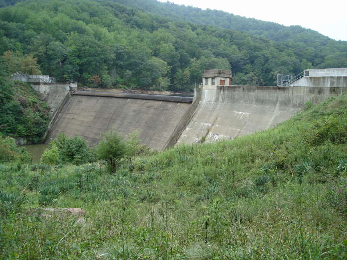
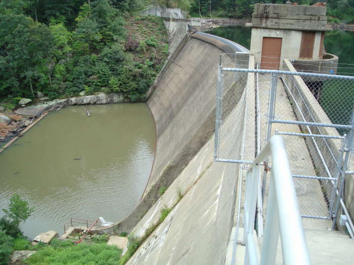
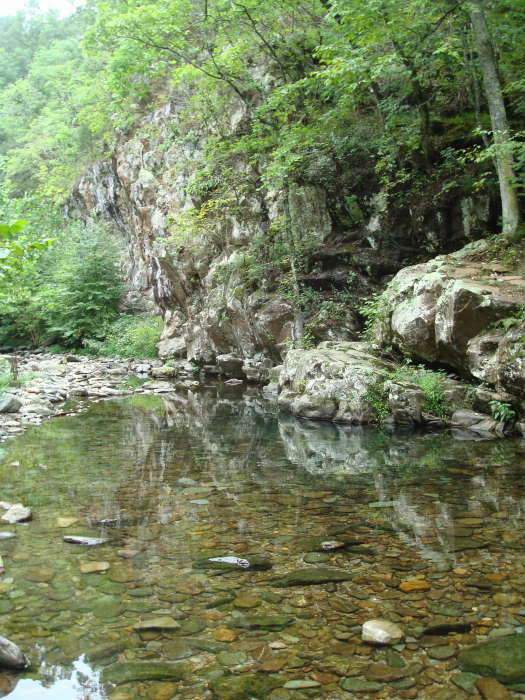
I'll add a quick update to the water level since the last post. Moorman's River is running pretty high after some nice rain the past few weeks. Max depth at the three crossings between 14"-18". Be prepared to get your feet wet! Trails still in good shape to the falls. Nice to see the reservoir levels up.
|
|
| By:
Diego S |
Rating: |
|
Date of Hike: Wednesday, December 27, 2017 |
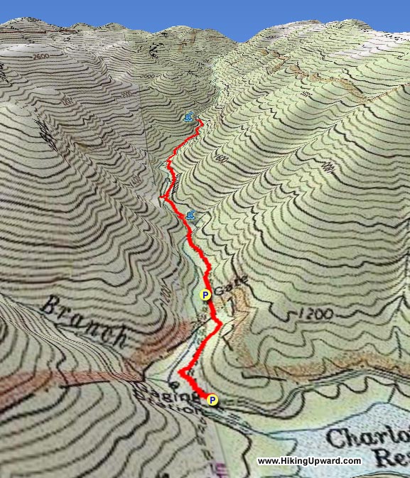
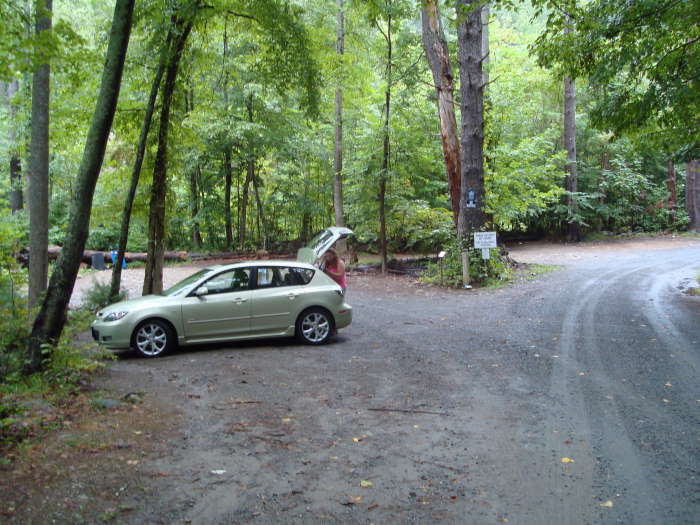
Did this hike as described from the 1st parking lot (the second is gated off now) and it registered as 4.4 miles over 2 hours. I would give this a 1 difficulty. There are no strenuous sections and you will not get winded at any point.
The trail conditions are excellent and the stream crossings were very easy (didn't get wet) with the low water levels. I really enjoyed this trail and the area. So do lots of others though! Parking lot was full when we left. I'd say the lot could comfortably fit 16-18 cars and anything over that is pushing it.
|
|
| By:
Threehikers |
Rating: |
 |
Date of Hike: Wednesday, June 28, 2017 |
Arrived at the trailhead early on a beautiful morning and it was a good thing as the lot was overflowing when we finished around noon. The hike is easy and a well worn path but nice as it parallels and crosses the river. The hike to the top of the last falls gives a nice place to take a break. The trail past the last falls is uneventful but a nice walk. We went to where the road tuns and on the way ck down once we reached the river it was crowded the rest of the way with swimmers, families and groups enjoying the rare nice weather for the end of June.
|
|
| By:
Martha & Rick |
Rating: |
|
Date of Hike: Monday, May 29, 2017 |
This was a lovely hike and easy for us seniors. However, since it was just after some heavy rains, the four river crossings were about calf-deep. Not difficult, just bear in mind you will get your feet wet! The trails were also pretty muddy, some with water running down them as well.
The only scary part of the hike was the parking situation: on Memorial Day, the lot was full, and cars were parked on either side of the skinny winding road leading to the lot, so there was a lot of freaky backing up when you encountered a car coming from the opposite direction!
|
|
| By:
Fergus & Henri |
Rating: |
|
Date of Hike: Sunday, March 5, 2017 |
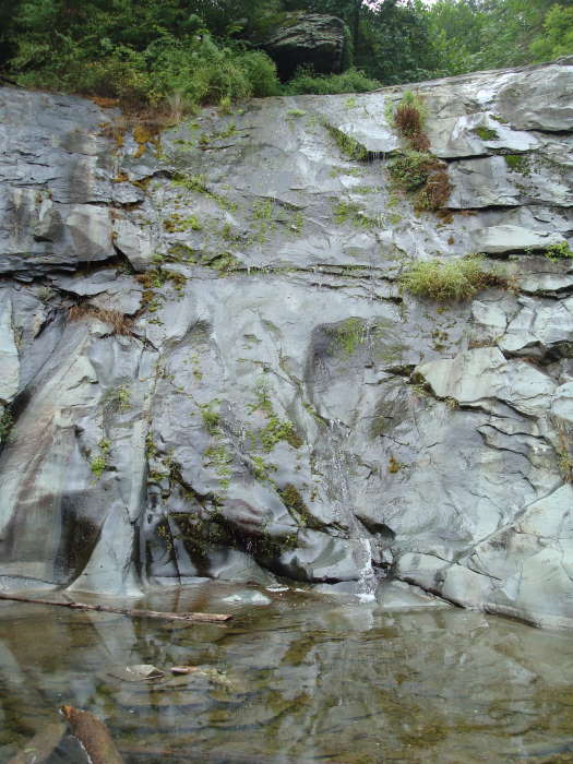
This is a fun, pretty, easy, water-feature hike near Charlottesville that offers big pay off for low effort. Excellent low-key hike for when you want some pretty Virginia scenery and fresh air, without all that pesky UP. Because we went in early March, it wasn't crowded at all...but I don't think I'd go back in peak season, given its popularity.
Important note: There were 7+ trees downed over the trail as we started out. It may take some time before they get cleared away. They are passable, but should be noted. See our blog for more about our experience (and photos):
http://wp.me/p8ebJj-BJ
|
|
 View all 25 archived reviews for the Moorman's River hike
|

